
Search for another town
Free U.S. delivery 7 to 10 days after you order
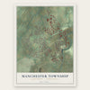
Manchester Township, York County, Pennsylvania Map Art
Building by building, with labeled streets and shaded relief.
12" x 18" Archival Matte Print
A Map of Home. A Work of Art.
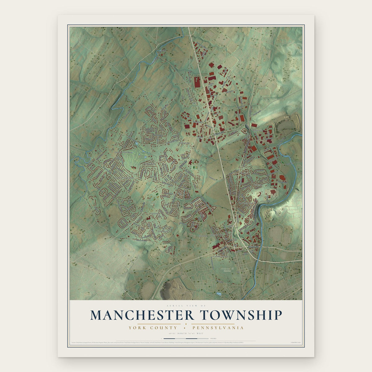
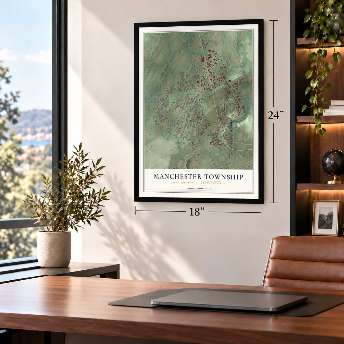
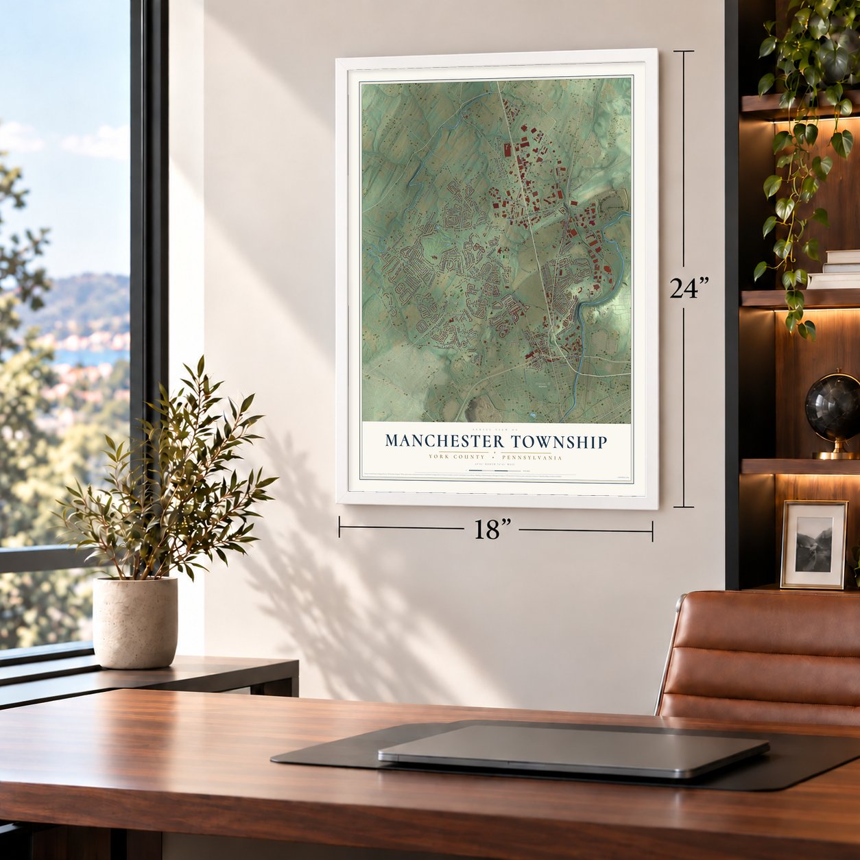
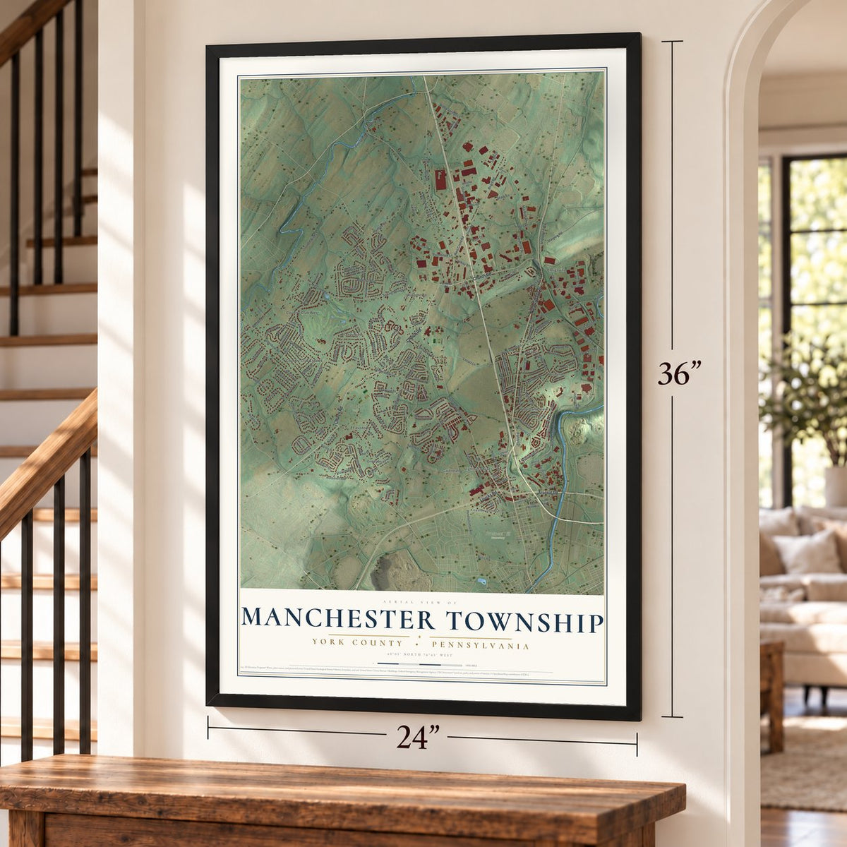
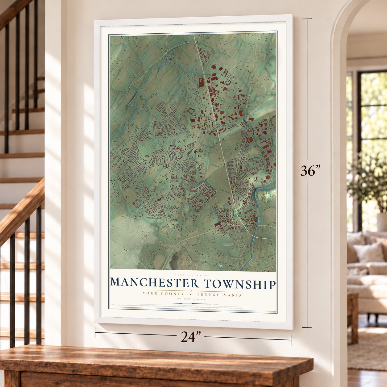
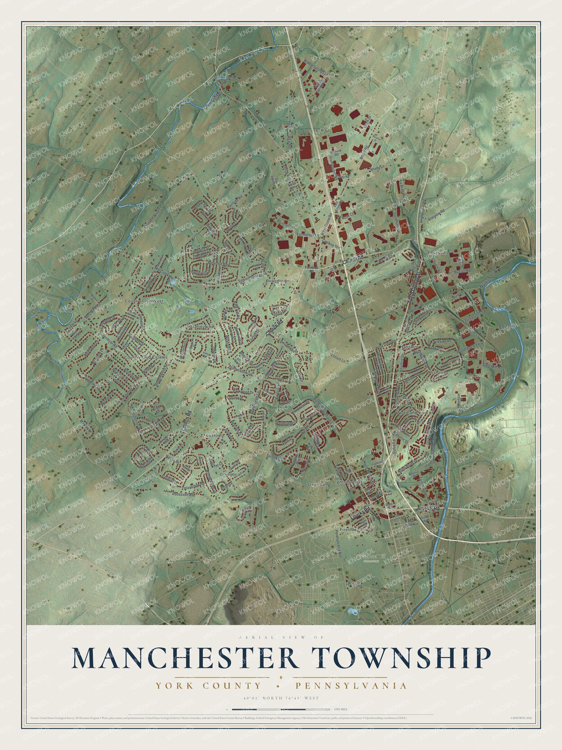
Explore Manchester, Pennsylvania from a whole new perspective. Created using aerial imagery and detailed geographic data, this map captures Manchester building by building, with labeled streets, familiar landmarks, and shaded topographical relief that highlights the natural contours of the landscape.
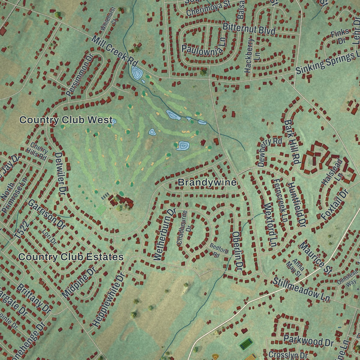
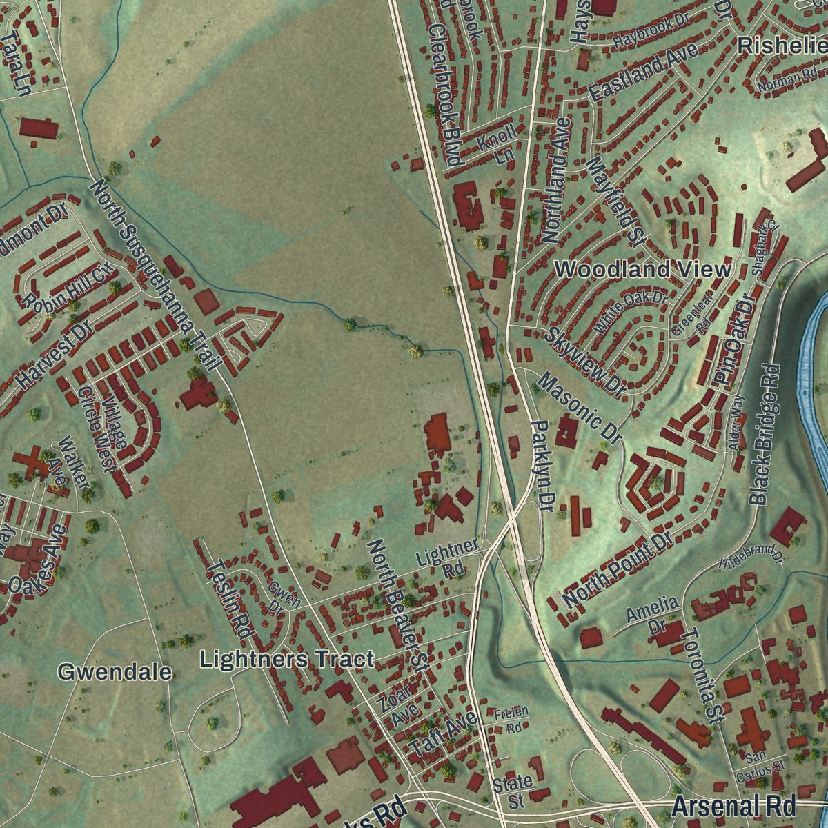
Combining modern data with the timeless character of a vintage atlas, this map is just as interesting up close as it is beautiful on the wall. Whether you grew up in Manchester, spent memorable years there, or call it home today, this unique map is a great way to celebrate a place that means something to you. Zoom in on the preview to look for your street, and then order a print to put your memories on the wall.
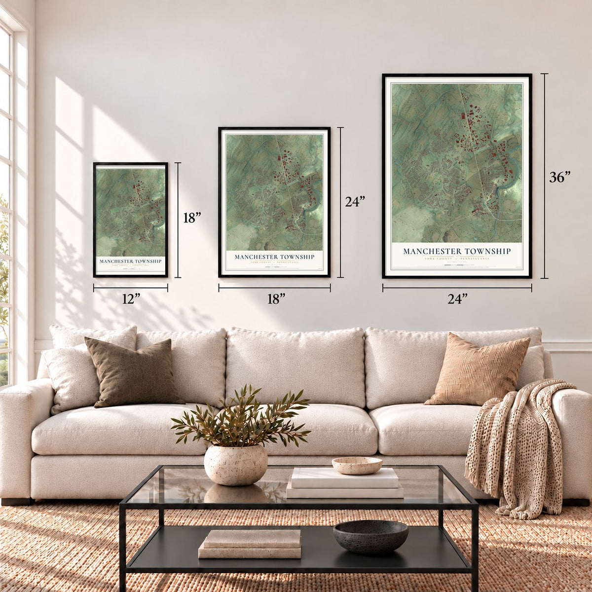
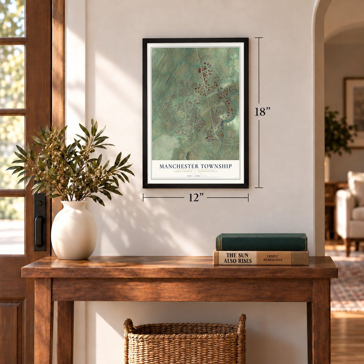
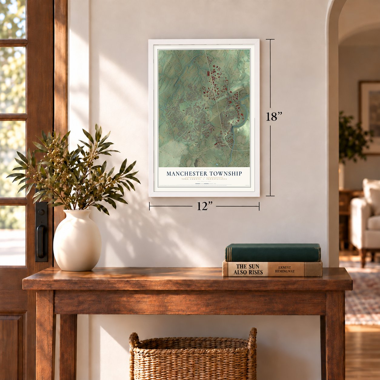
Three ways to hang it
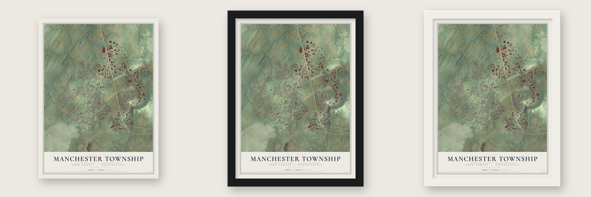
Unframed archival matte, a black wood frame or a white wood frame.
Up close
Geography Worth Displaying
This map was created using accurate cartographic data and authoritative geographic sources, including the U.S. Geological Survey and the Census Bureau. The map brings together terrain, waterways, roads, and building detail. The majority of the streets are labeled, houses are accurately depicted, and the topography is derived from government sources. Combining local data with carefully composed color and shading leads to this beautifully detailed Manchester artwork for your wall.
Rather than simply showing street outlines, we’ve included as many of the street names as we could reasonably fit on the map while keeping their names legible. Zoom in on the high resolution preview to see exactly what’s on the map. We truly set out to create a statement piece for anyone who loves Manchester. So whether it’s for you, or a gift for someone you love, we hope this map of Manchester brings back fond memories.
Read the story behind this map of Manchester Township, York County, Pennsylvania from 2026.
Find your street
Names on the Manchester map
Every name below is printed on this map. Look for your street, your school, the park where you played, or the pond down the road.
Places and landmarks15
- Cousler Park
- Prospect Hill Cemetery
- Emigsville
- Country Club West
- Lightners Tract
- Roundtown
- Greenbriar
- Country Club Estates
- Rishelieu
- Woodland View
- Brandywine
- Fireside Terrace
Show all 15 places
- Foustown
- Gwendale
- Hayshire
Streets and roads206
- North George Street
- Church Road
- Arsenal Road
- Loucks Road
- North Susquehanna Trail
- Sinking Springs Lane
- Board Road
- Black Bridge Road
- Woodland View Drive
- West Locust Lane
- Greenbriar Road
- Lewisberry Road
- Roosevelt Avenue
- Raintree Road
- Stillmeadow Lane
- Detwiler Drive
- Brandywine Lane
- Crooked Wind Lane
- Mill Creek Road
- Emig Road
- Willow Springs Lane
- Bear Road
- Hambiltonian Way
- East Locust Lane
- Guildford Lane
- Farmbrook Lane
- Grumbacher Road
- Bruaw Drive
- Bernays Drive
- Westwind Lane
Show all 206 streets
- North Point Drive
- Friesian Road
- Willow Ridge Drive
- Mayfair Lane
- Bitternut Boulevard
- Harvest Drive
- Maurice Street
- Locust Lane
- Caspian Drive
- Hepplewhite Drive
- Pennsylvania Avenue
- Woodmont Drive
- Sterling Drive
- T-916
- Sandhurst Drive
- Wetherburn Drive
- Brittany Drive
- Sequoia Street
- Shady Lane
- Skyview Drive
- Toronita Street
- Starview Road
- Foxtail Drive
- Aslan Drive
- Sprenkle Drive
- Stonehenge Drive
- Mundis Race Road
- Coldspring Road
- Masonic Drive
- Winsford Lane
- Rishel Drive
- Huntfield Drive
- Wicklow Drive
- Kayla Boulevard
- Narnia Drive
- West Crone Road
- Willis Road
- Garrison Drive
- Pin Oak Drive
- Candle Lane
- Mayfield Street
- Haymeadow Drive
- North Beaver Street
- Oberlin Drive
- Bark Hill Road
- Futurity Drive
- East Sorrel Street
- Clearbrook Boulevard
- Liverpool Turnpike
- Bee Jay Drive
- Teslin Road
- Hearthridge Lane
- Wexford Lane
- Hayshire Drive
- Eastland Avenue
- Parkwood Drive
- Morgan Lane
- Aylesbury Lane
- Sorrel Street
- Leaf Street
- Grim Lane
- Flour Mill Road
- Soapstone Lane
- Langshire Drive
- Midpine Drive
- Claystone Road
- Edinburgh Road
- Briargate Drive
- Grouse Lane
- Lehr Drive
- High Street
- Parklyn Drive
- Paulownia Lane
- Northland Avenue
- Mia Brae Drive
- Oakes Avenue
- Dundee Road
- Pine Creek Lane
- Rose Court
- Central Avenue
- Busser Road
- Scotch Drive
- Tara Lane
- Merlot Court
- Conway Street
- James Drive
- Butcher Court
- Leigh Drive
- Jesse Lane
- Taft Avenue
- Kyle Road
- Poet Drive
- East Tenth Avenue
- Farmtrail Road
- Fox Pointe Lane
- Willow Springs Circle
- Balsa Street
- Mountain View Drive
- Persimmon Drive
- Hackberry Lane
- Meadowbrook Boulevard
- North Primrose Lane
- Sarazen Way
- Cherimoya Street
- Halstead Lane
- Weisgerber Way
- Robin Hill Circle
- Lightner Road
- Ferncreek Lane
- Finks Drive
- Laurel Drive
- Dewberry Road
- Village Circle West
- Old Mill Inn Road
- Applewine Court
- Connelly Road
- Aberdeen Road
- Crosslyn Drive
- Walker Avenue
- Knoll Lane
- Duella Court
- Hedgegate Lane
- May Road
- Mundis Lane
- East Crone Road
- Amelia Drive
- Winship Road
- Brady Road
- Stella Avenue
- Zoar Avenue
- Tenth Avenue
- Derry Court
- Rillian Lane
- Bridle Court
- State Street
- Rosepointe Drive
- Chesterbrook Drive
- Haybrook Drive
- Lori Drive
- Blackgum Court
- Barrister Drive
- White Oak Drive
- Gwen Drive
- Chadbourne Drive
- Dominon Drive
- Cherry Hills Road
- East Eleventh Avenue
- Sonoma Lane
- Walden Court
- Angel Drive
- Anna May Street
- Falls Grove Lane
- Addison Court
- Edmond Avenue
- Olivia Court
- T-967
- Alder Way
- Olmstead Way
- Chapel Drive
- Norman Road
- Greenleaf Road
- Riding Club Drive
- Karyl Lane
- Martingale Drive
- Clearview Drive
- Whitehurst Court
- Cherrywine Drive
- Bedford Road
- Hildebrand Drive
- Sandstone Lane
- Shagbark Court
- San Carlos Street
- Frelen Road
- Dressage Court
- Marianne Drive
- Dewey Avenue
Names are listed as they appear on the printed map. Zoom into the product photos to find them.
About Manchester Township, York County, Pennsylvania
Manchester Township covers 15.9 square miles in York County and had 19,514 residents at the 2020 census. Laid out in 1742, it grew from English Quaker settlement into an agricultural community where German immigrants later settled. Roundtown and Emigsville retain names linked to their early development.
- Township BeginningsThomas Cookson laid out Manchester Township in 1742, when the area remained part of Lancaster County and had 300 inhabitants.
- Roundtown's CircleAn 1886 county history traced Roundtown's name to houses arranged almost in a circle and recorded a brick schoolhouse built there in 1884.
- Emigsville's GrowthNamed for farmer and storekeeper John Emig, Emigsville became a busy railroad stop after 1850 and had 125 residents in 1886.
- Weightlifting HeritageManchester Township is home to York Barbell and the USA Weightlifting Hall of Fame, while a Board Road marker honors Founder Bob Hoffman.
Keep exploring Pennsylvania
Manchester Township is one of 3,725 Pennsylvania towns we've mapped. Every dot on the map is a print of its own.
The search covers every state, Pennsylvania first.
Near Manchester Township
Order 2 or more town maps and save 10%. Shown in the size and finish you picked above, so they hang as a set.
- Roundtown 12" x 18" / Archival Matte Print $39.99
- Emigsville 12" x 18" / Archival Matte Print $39.99
- Pleasureville 12" x 18" / Archival Matte Print $39.99
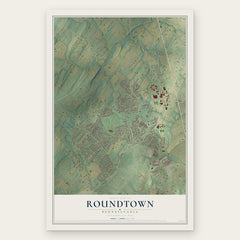
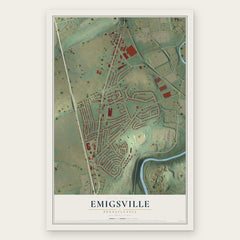
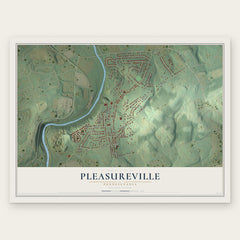
More maps nearby: North York, East Manchester, Shiloh, Manchester Borough and York City.
The art of mapping a place
How This Map Was Made
Real places. Remarkable detail. Discover the layers that turn geographic data into a map of home.

The view from above
Aerial imagery reveals the character of the land: woodland, open fields, and the patterns of a place.

The shape of the land
Elevation data brings hills, valleys, and subtle changes in the landscape into view.

The details of home
Roads, waterways, and building footprints come together to make the map feel unmistakably local.

Geography becomes art
Considered color, shading, and typography bring the layers together in a map made for your wall.


Process illustrated with Mendon, Massachusetts. Aerial imagery: USDA NAIP. Terrain: USGS 3D Elevation Program. Map details and finished artwork: KNOWOL.
The Details
About This Print
Choose an archival matte print, or a black or white Ayous wood frame. The archival matte print is unframed.
Select your size and finish above to see the matching product image and price.
Materials & Craftsmanship
A contemporary map with the character of a classic atlas, printed on archival matte paper. Optional frames are made from Ayous wood.
Your printed map does not include the watermark shown in the full-map preview.
Shipping & Delivery
Free shipping within the United States. Every print is made to order in the USA.
Buying a gift? Add a note in your cart and we'll include it. We never put prices in the package.
Prints ship within 2 to 3 business days. Allow 7 to 10 days total from ordering for delivery. Timing may vary during holidays or periods of high order volume.
Read our shipping policy.
Returns and damaged prints
Each print is made to order. Change-of-mind refunds are not available after production.
If your print arrives damaged, misprinted or incorrect, contact support@knowol.com within 30 days of receiving it. Include your order number, photos and a description of the issue.
Read our full refund and replacement policy. For questions about your order, email support@knowol.com.