
Search for another town
Free U.S. delivery 7 to 10 days after you order
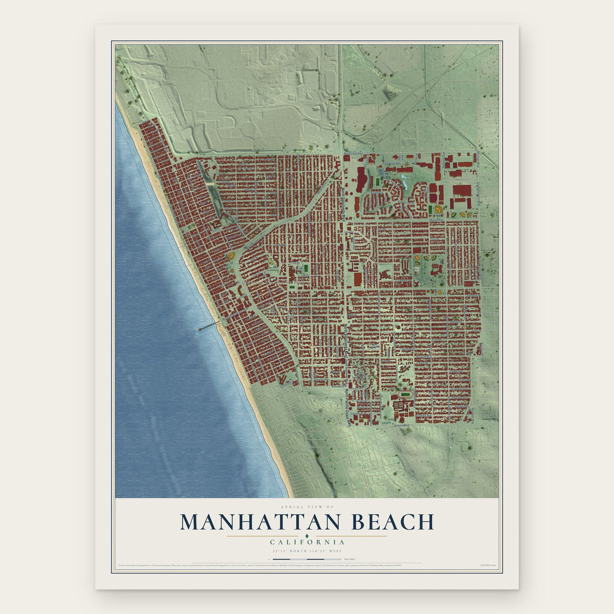
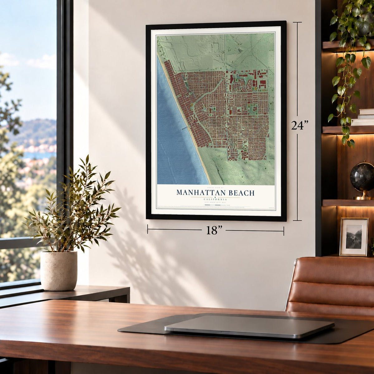
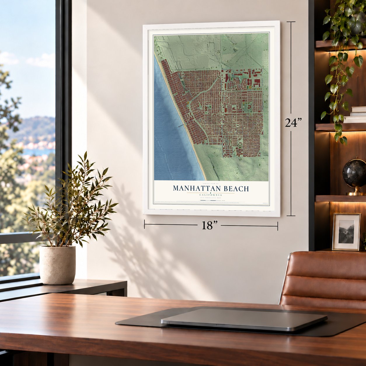
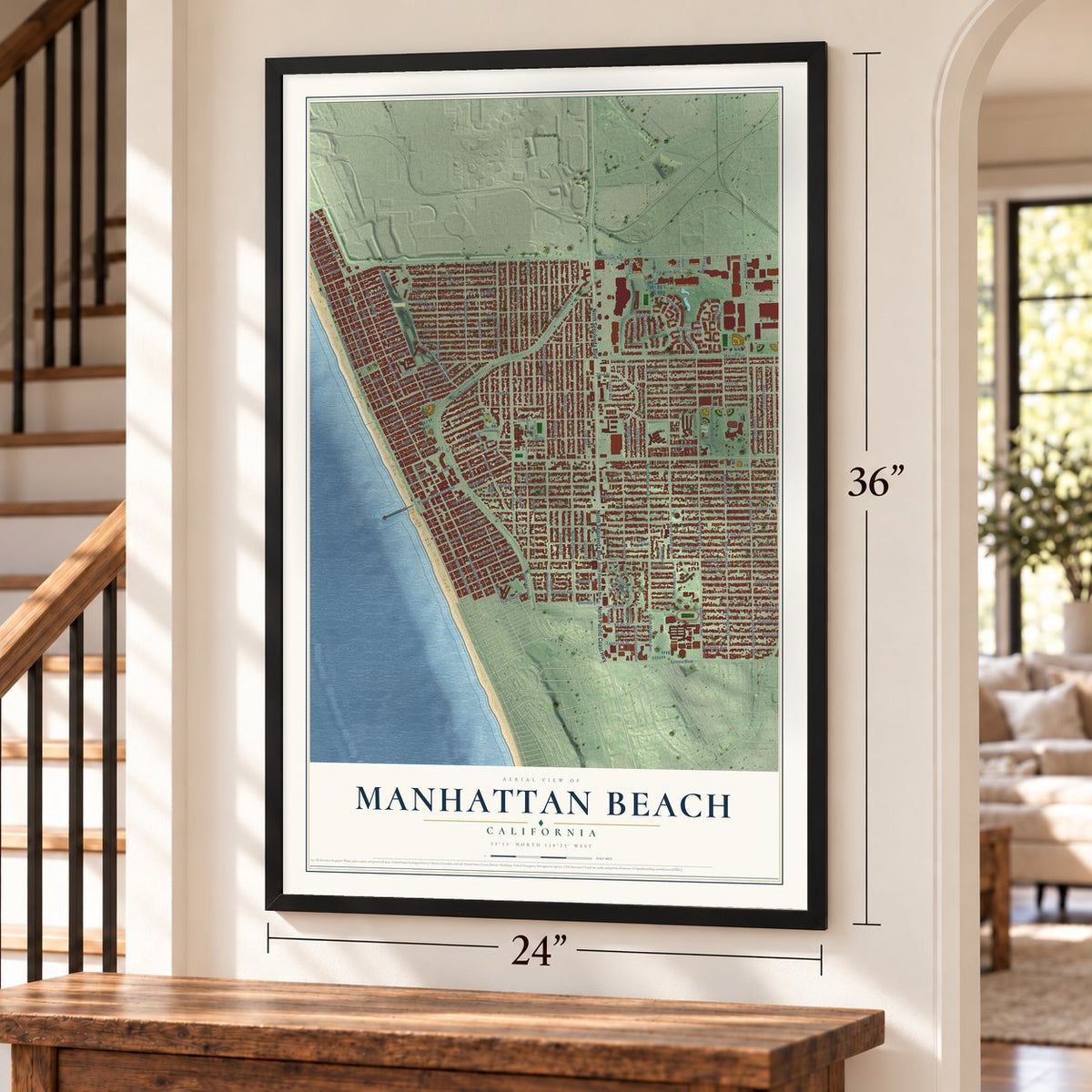
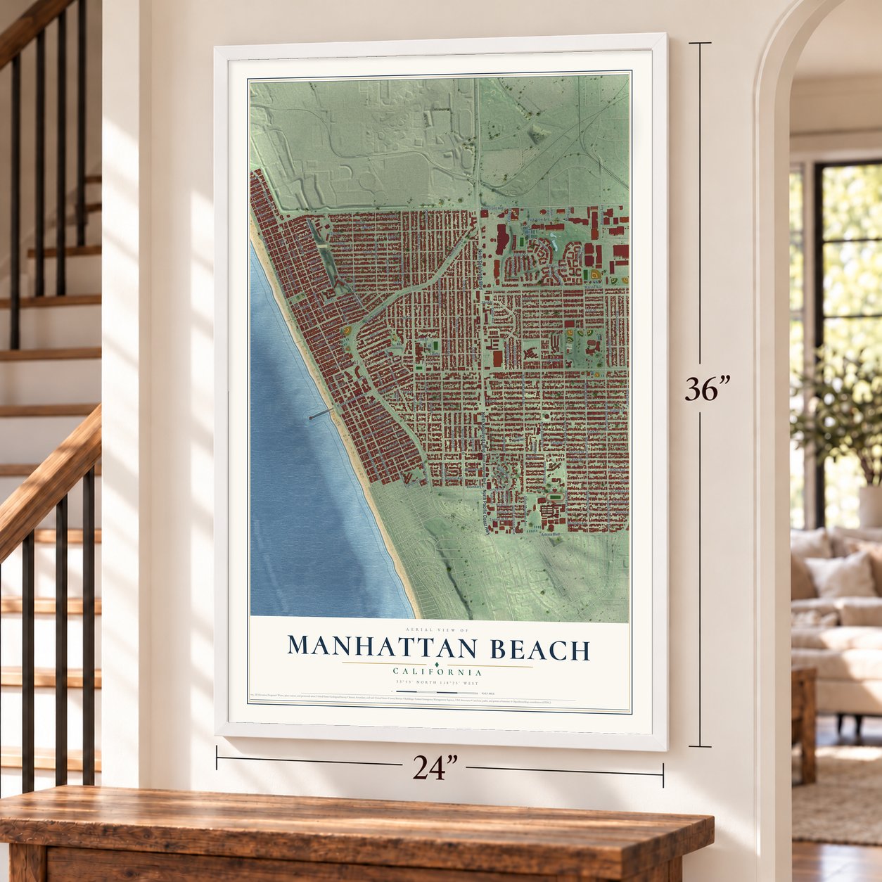
Manhattan Beach, California Map Art
Building by building, with labeled streets and shaded relief.
12" x 18" Archival Matte Print
A Map of Home. A Work of Art.
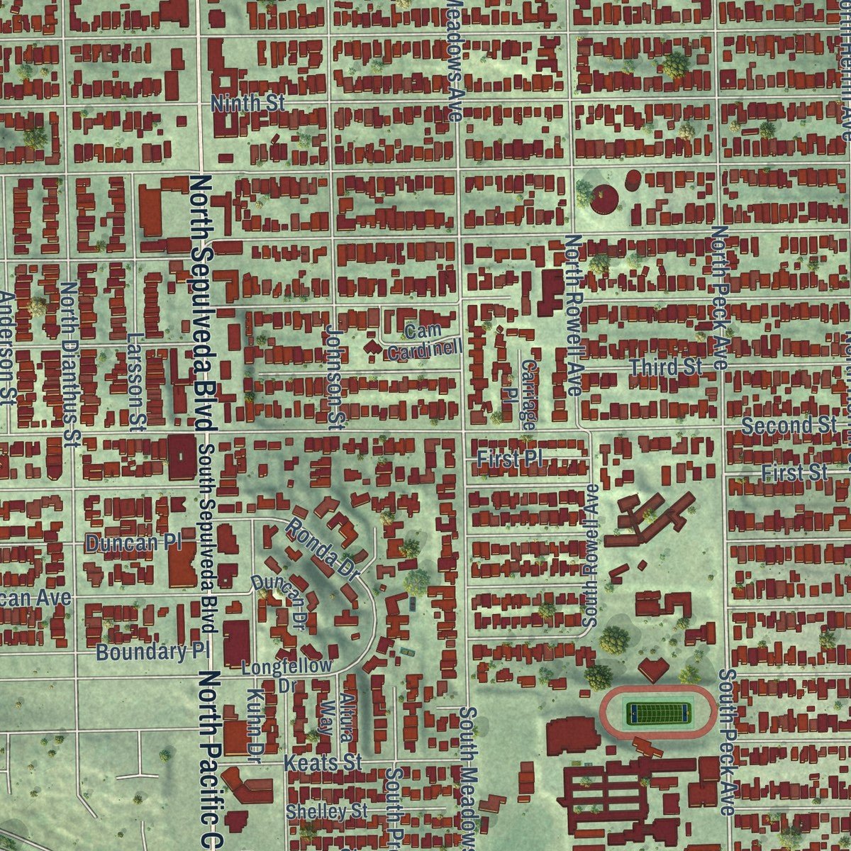
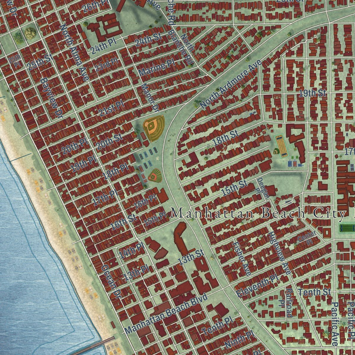
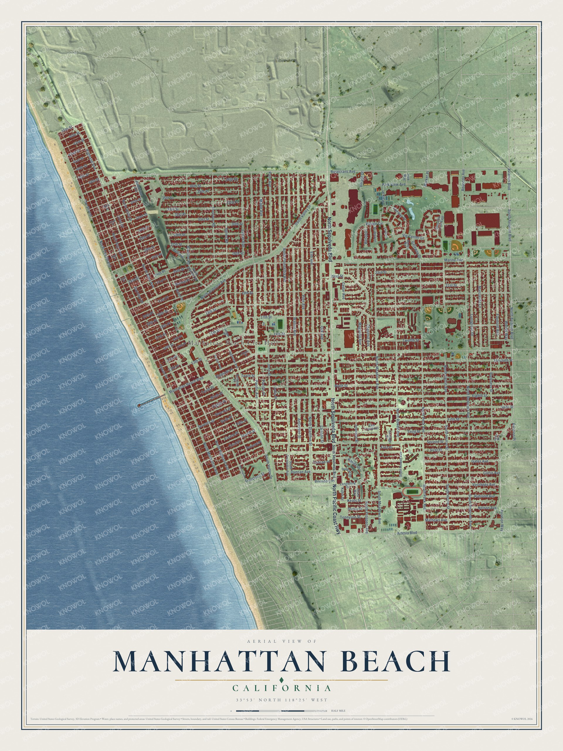
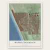
Explore Manhattan Beach, California from a whole new perspective. Created using aerial imagery and detailed geographic data, this map captures Manhattan Beach building by building, with labeled streets, familiar landmarks, and shaded topographical relief that highlights the natural contours of the landscape.
Combining modern data with the timeless character of a vintage atlas, this map is just as interesting up close as it is beautiful on the wall. Whether you grew up in Manhattan Beach, spent memorable years there, or call it home today, this unique map is a great way to celebrate a place that means something to you. Zoom in on the preview to look for your street, and then order a print to put your memories on the wall.
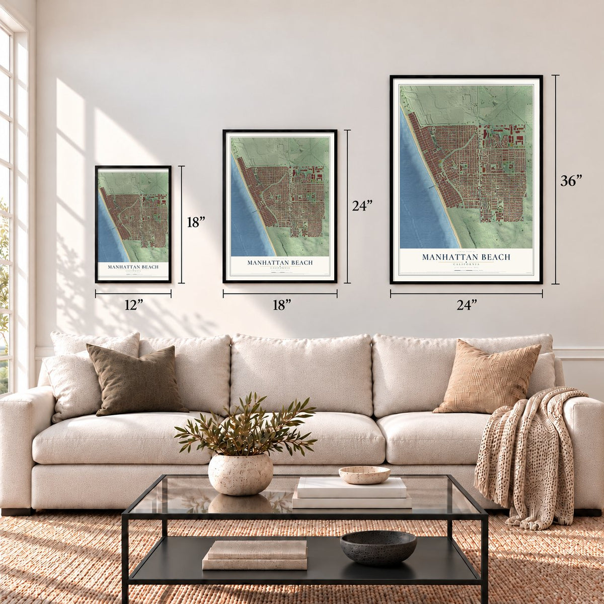
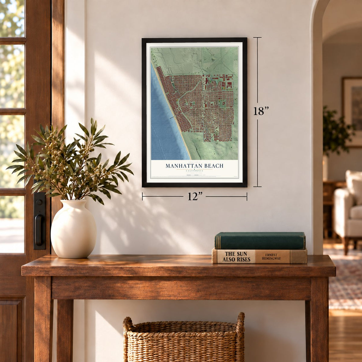
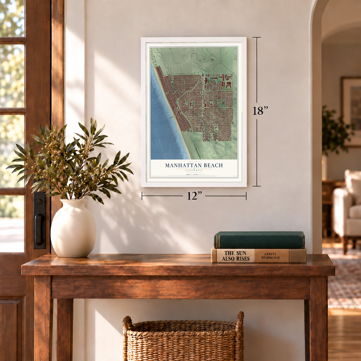
Three ways to hang it
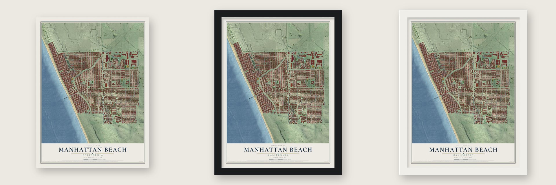
Unframed archival matte, a black wood frame or a white wood frame.
Up close
Geography Worth Displaying
This map was created using accurate cartographic data and authoritative geographic sources, including the U.S. Geological Survey and the Census Bureau. The map brings together terrain, waterways, roads, and building detail. The majority of the streets are labeled, houses are accurately depicted, and the topography is derived from government sources. Combining local data with carefully composed color and shading leads to this beautifully detailed Manhattan Beach artwork for your wall.
Rather than simply showing street outlines, we’ve included as many of the street names as we could reasonably fit on the map while keeping their names legible. Zoom in on the high resolution preview to see exactly what’s on the map. We truly set out to create a statement piece for anyone who loves Manhattan Beach. So whether it’s for you, or a gift for someone you love, we hope this map of Manhattan Beach brings back fond memories.
Read the story behind this map of Manhattan Beach, California from 2026.
Find your street
Names on the Manhattan Beach map
Every name below is printed on this map. Look for your street, your school, the park where you played, or the pond down the road.
Places and landmarks2
- Manhattan Beach City Hall
- Begg Field
Streets and roads190
- North Sepulveda Boulevard
- North Pacific Coast Highway
- Rosecrans Avenue
- North Highland Avenue
- First Street
- Aviation Boulevard
- North Aviation Boulevard
- South Aviation Boulevard
- Highland Avenue
- South Peck Avenue
- The Strand
- North Meadows Avenue
- North Redondo Avenue
- 45th Street
- Crest Drive
- Redondo Avenue
- Marine Avenue
- Ocean Drive
- Manhattan Beach Boulevard
- North Valley Drive
- Ninth Street
- North Ardmore Avenue
- Sixth Street
- Eleventh Street
- Eighth Street
- 19th Street
- Tenth Street
- Second Street
- 23rd Street
- North The Strand
Show all 190 streets
- North Poinsettia Avenue
- Third Street
- Fifth Street
- North Manhattan Avenue
- Pacific Avenue
- 18th Street
- Bayview Drive
- 35th Street
- North Bay View Drive
- 27th Street
- 17th Street
- 33rd Street
- North Rowell Avenue
- 21st Street
- Laurel Avenue
- 31st Street
- Harkness Street
- Elm Avenue
- Pine Avenue
- Oak Avenue
- North Peck Avenue
- Walnut Avenue
- Artesia Boulevard
- 30th Street
- Twelfth Street
- John Street
- North Herrin Avenue
- North Vista Drive
- 15th Street
- 36th Place
- 14th Street
- 36th Street
- Palm Avenue
- Flournoy Road
- Village Circle
- 29th Street
- North Alma Avenue
- 26th Street
- 35th Place
- 33rd Place
- 31st Place
- North Dianthus Street
- North Herrin Street
- Curtis Avenue
- Gates Avenue
- Magnolia Avenue
- Voorhees Avenue
- Agnes Road
- Park View Avenue
- Blanche Road
- 13th Street
- Maple Avenue
- South Herrin Street
- South Redondo Avenue
- South Meadows Avenue
- Bell Avenue
- Johnson Street
- Manzanita Lane
- Lynngrove Drive
- Mathews Avenue
- Ruhland Avenue
- Eleventh Place
- 24th Street
- 25th Street
- Nelson Avenue
- Wendy Way
- Faymont Avenue
- 28th Street
- 21st Place
- Pacific Place
- Fourth Street
- 20th Street
- Duncan Place
- Duncan Avenue
- Chestnut Avenue
- Boundary Place
- John Place
- 24th Place
- Seventh Street
- 32nd Street
- 34th Street
- Marine Place
- First Place
- 22nd Street
- Third Place
- 20th Place
- Fourth Place
- South Prospect Avenue
- Second Place
- Fifth Place
- Larsson Street
- Anderson Street
- Keats Street
- Tennyson Street
- Fairway Drive
- Kuhn Drive
- Sixth Place
- 16th Street
- Park Place
- Cedar Avenue
- Seventh Place
- Eighth Place
- 19th Place
- Aviation Way
- Tenth Place
- Ninth Place
- 30th Place
- Vig Center Drive
- 29th Place
- 18th Place
- Ronda Drive
- 17th Place
- Francisco Street
- 38th Street
- 39th Street
- 44th Street
- 43rd Street
- 41st Street
- 42nd Street
- 40th Street
- South Valley Drive
- Gateway Drive
- Westport
- 26th Place
- Aviation Place
- Village Drive
- 14th Place
- 13th Place
- Market Place
- South Rowell Avenue
- Grandview Avenue
- Sausalito Circle East
- Highview Avenue
- Longfellow Drive
- 23rd Place
- Manor Drive
- 34th Place
- 15th Place
- 16th Place
- North Blanche Road
- South Poinsettia Avenue
- Shelley Street
- Duncan Drive
- Cam Cardinell
- Bridgeport
- Fisher Avenue
- Altura Way
- Railroad Place
- Carriage Place
- Park Way
- South Sepulveda Boulevard
- Center Place
- 32nd Place
- 28th Place
- 25th Place
- Chatham
- Malaga Way
- Deegan Place
- Haley Way
- Morningside Drive
Names are listed as they appear on the printed map. Zoom into the product photos to find them.
About Manhattan Beach, California
Manhattan Beach is a city of 35,506 people in Los Angeles County, and with Hermosa Beach and Redondo Beach it makes up the three Beach Cities of the South Bay. The Tongva people likely lived on this sandy coast, and digs at the nearby Chowigna site show people in the area 7,100 years ago. In 1784 the Spanish Crown granted soldier Juan José Domínguez Rancho San Pedro, more than 75,000 acres that took in the future city.
Robert Burnett, a Scottish immigrant, bought the ranch land here in 1863 for $33,000. Ten years later he leased it to Daniel Freeman, a Canadian who grew crops there and bought it outright on May 4, 1885, for $140,000. The Santa Fe Railroad laid the area's first tracks in 1888. A coin flip settled the name, and around 1902 the new town became Manhattan, after developer Stewart Merrill's home borough in New York. The postmaster asked that Beach be added. Voters approved the city on November 26, 1912, and it became official on December 7.
- A city pier, 1917-1920City Engineer A.L. Harris drew up the plans, and the city itself built the pier between 1917 and 1920. Today it is known as the Manhattan Beach State Pier.
- Bruce's BeachMrs. W. A. Bruce opened Southern California's first beach resort for Black Americans on her land near the shore. Guests could buy soda and lunch at a small cottage, change and shower in one of two tents, and rent one of fifty bathing suits.
- Land taken in 1924In the 1920s the Ku Klux Klan harassed Bruce's guests, her family and four other Black families who had bought lots nearby. In 1924 the city took their land by eminent domain, saying it needed a park. In 2021 Governor Gavin Newsom signed a law letting the property go back to the Bruce family's descendants.
- Sand shipped to WaikikiSand dunes once covered most of the city, and they still lie under its streets and houses. In the 1920s and 1930s the Kuhn Brothers Construction Company leveled the sandy lots, and Hawaiian developers bought the extra sand and shipped it through Los Angeles Harbor to Waikiki over ten years. Sand Dune Park keeps the last open dune.
- A beach that doubledAt first the beach was a narrow, sloping strip about 150 feet wide. From 1938 to 1989, sand piled on beaches to the north while crews built the Hyperion Treatment Plant, Marina del Rey and the Scattergood Power Plant. The current carried it south, and the beach here grew to more than twice its old width. Each August the sand is home to the International Surf Festival and to the Manhattan Beach Open, a volleyball tournament.
Keep exploring California
Manhattan Beach is one of 1,990 California towns we've mapped. Every dot on the map is a print of its own.
The search covers every state, California first.
Near Manhattan Beach
Order 2 or more town maps and save 10%. Shown in the size and finish you picked above, so they hang as a set.
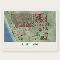
- El Segundo 12" x 18" / Archival Matte Print $39.99
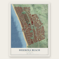
- Hermosa Beach 12" x 18" / Archival Matte Print $39.99
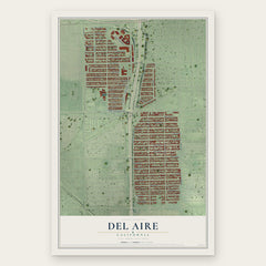
- Del Aire 12" x 18" / Archival Matte Print $39.99
More maps nearby: Redondo Beach, Lawndale, Hawthorne, Lennox and Alondra Park.
The art of mapping a place
How This Map Was Made
Real places. Remarkable detail. Discover the layers that turn geographic data into a map of home.

The view from above
Aerial imagery reveals the character of the land: woodland, open fields, and the patterns of a place.

The shape of the land
Elevation data brings hills, valleys, and subtle changes in the landscape into view.

The details of home
Roads, waterways, and building footprints come together to make the map feel unmistakably local.

Geography becomes art
Considered color, shading, and typography bring the layers together in a map made for your wall.


Process illustrated with Mendon, Massachusetts. Aerial imagery: USDA NAIP. Terrain: USGS 3D Elevation Program. Map details and finished artwork: KNOWOL.
The Details
About This Print
Choose an archival matte print, or a black or white Ayous wood frame. The archival matte print is unframed.
Select your size and finish above to see the matching product image and price.
Materials & Craftsmanship
A contemporary map with the character of a classic atlas, printed on archival matte paper. Optional frames are made from Ayous wood.
Your printed map does not include the watermark shown in the full-map preview.
Shipping & Delivery
Free shipping within the United States. Every print is made to order in the USA.
Buying a gift? Add a note in your cart and we'll include it. We never put prices in the package.
Prints ship within 2 to 3 business days. Allow 7 to 10 days total from ordering for delivery. Timing may vary during holidays or periods of high order volume.
Read our shipping policy.
Returns and damaged prints
Each print is made to order. Change-of-mind refunds are not available after production.
If your print arrives damaged, misprinted or incorrect, contact support@knowol.com within 30 days of receiving it. Include your order number, photos and a description of the issue.
Read our full refund and replacement policy. For questions about your order, email support@knowol.com.