
Search for another town

Free U.S. delivery 7 to 10 days after you order
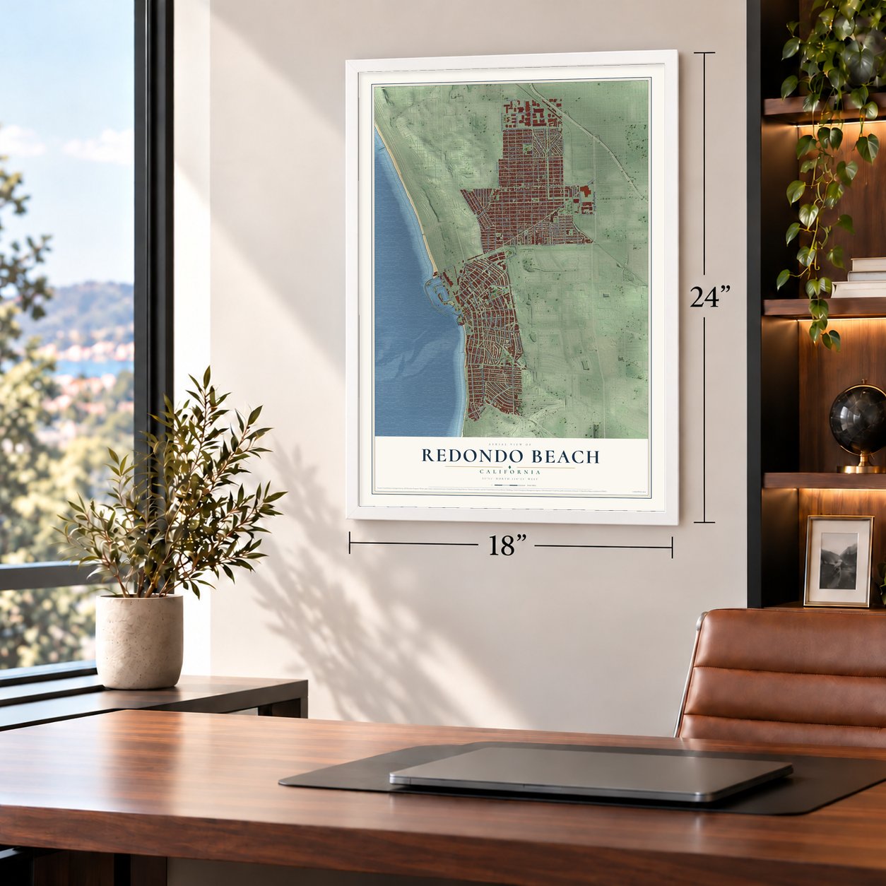
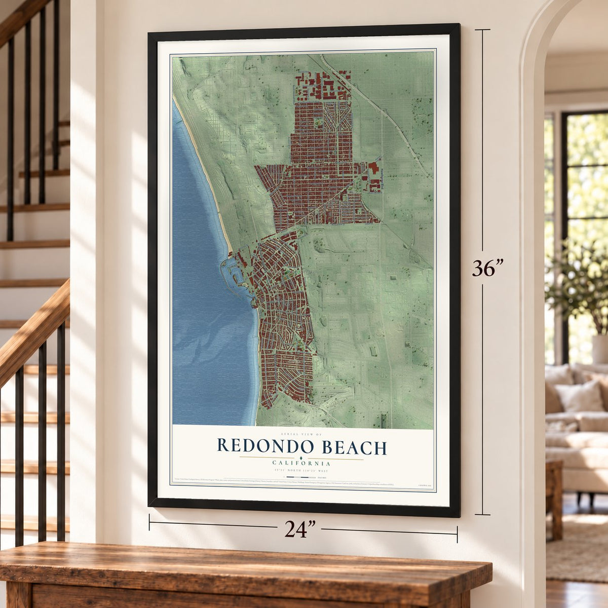
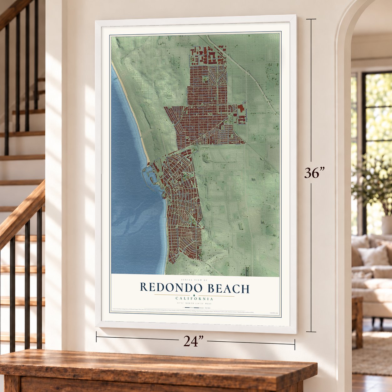
Redondo Beach, California Map Art
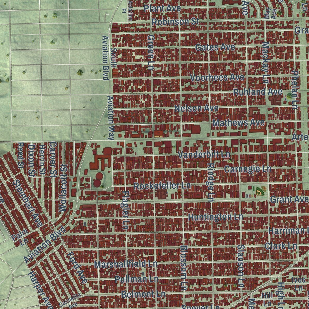
Building by building, with labeled streets and shaded relief.
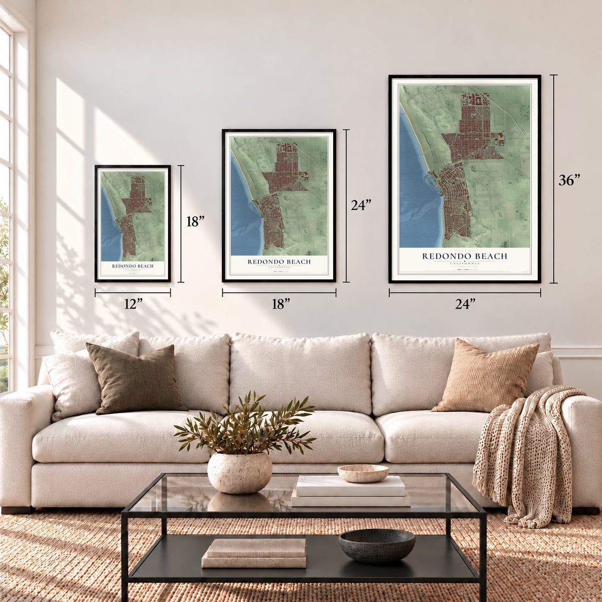
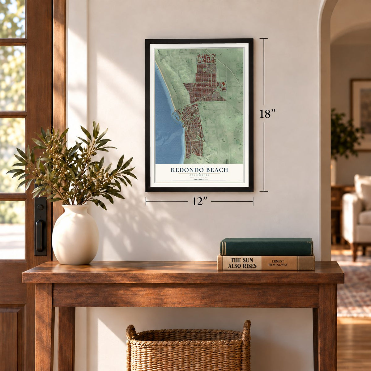
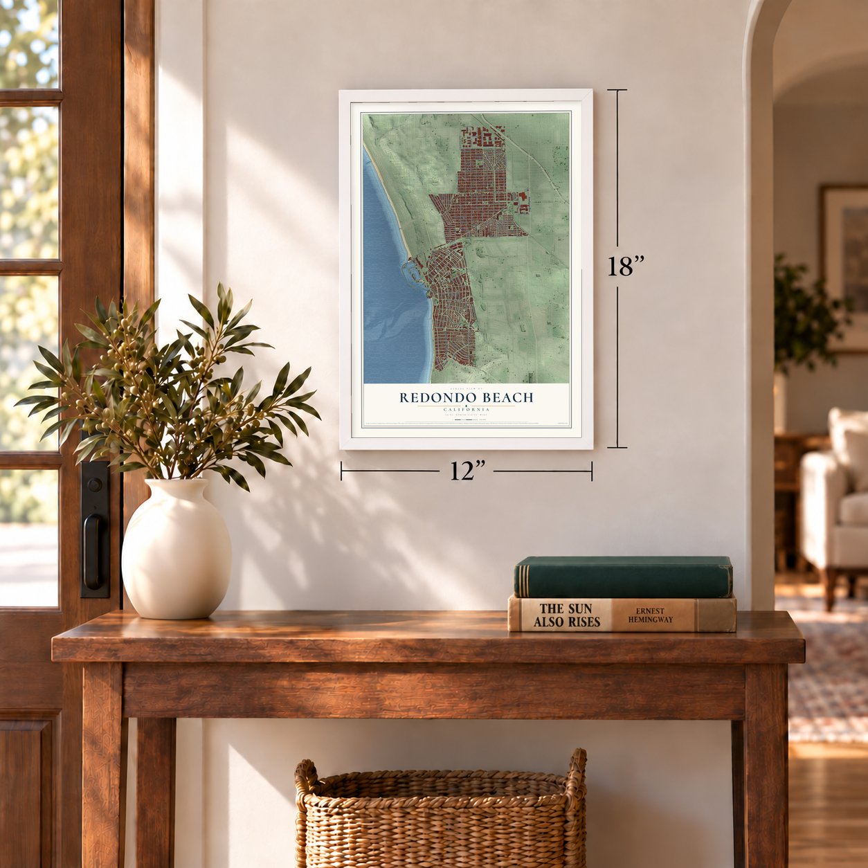
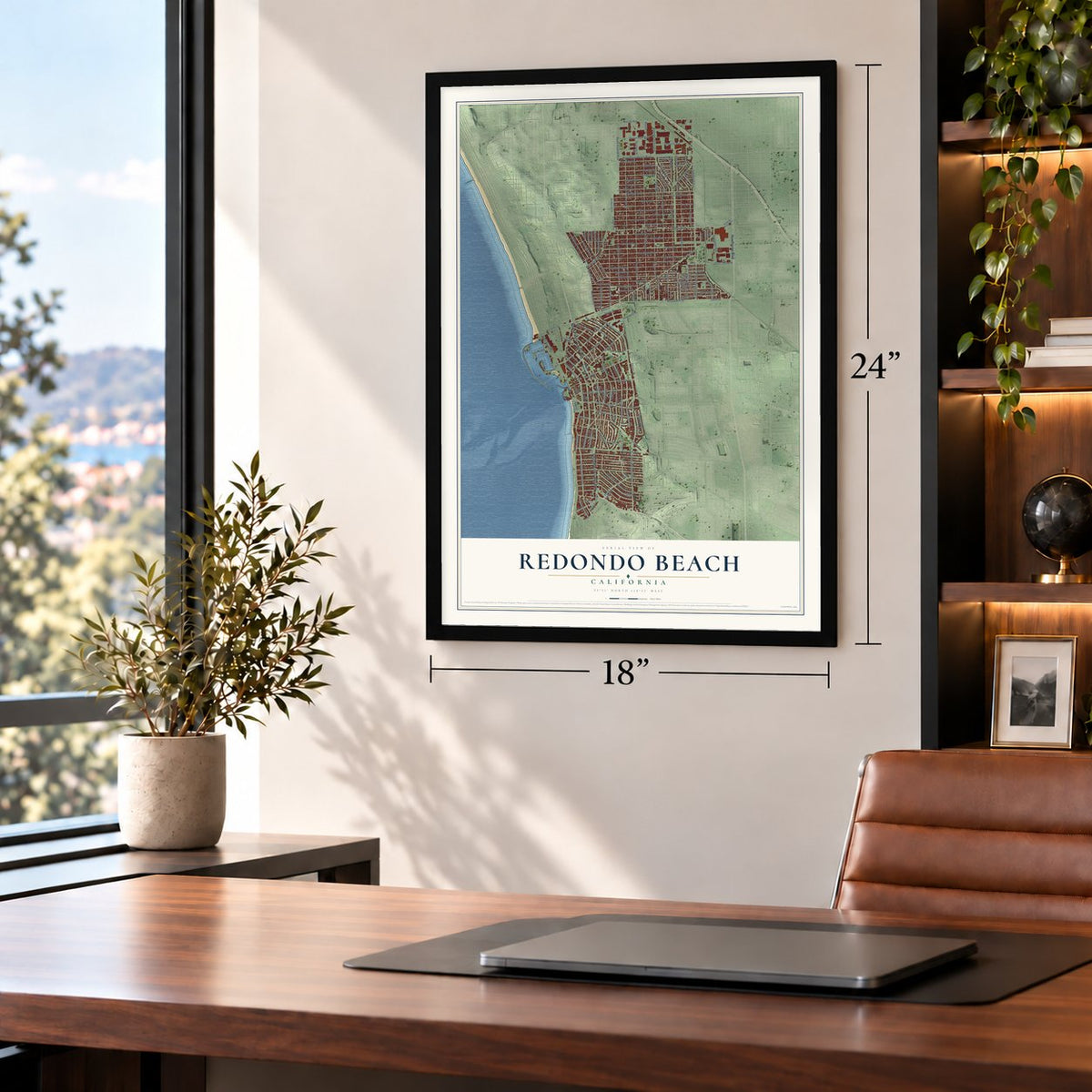
12" x 18" Archival Matte Print
A Map of Home. A Work of Art.
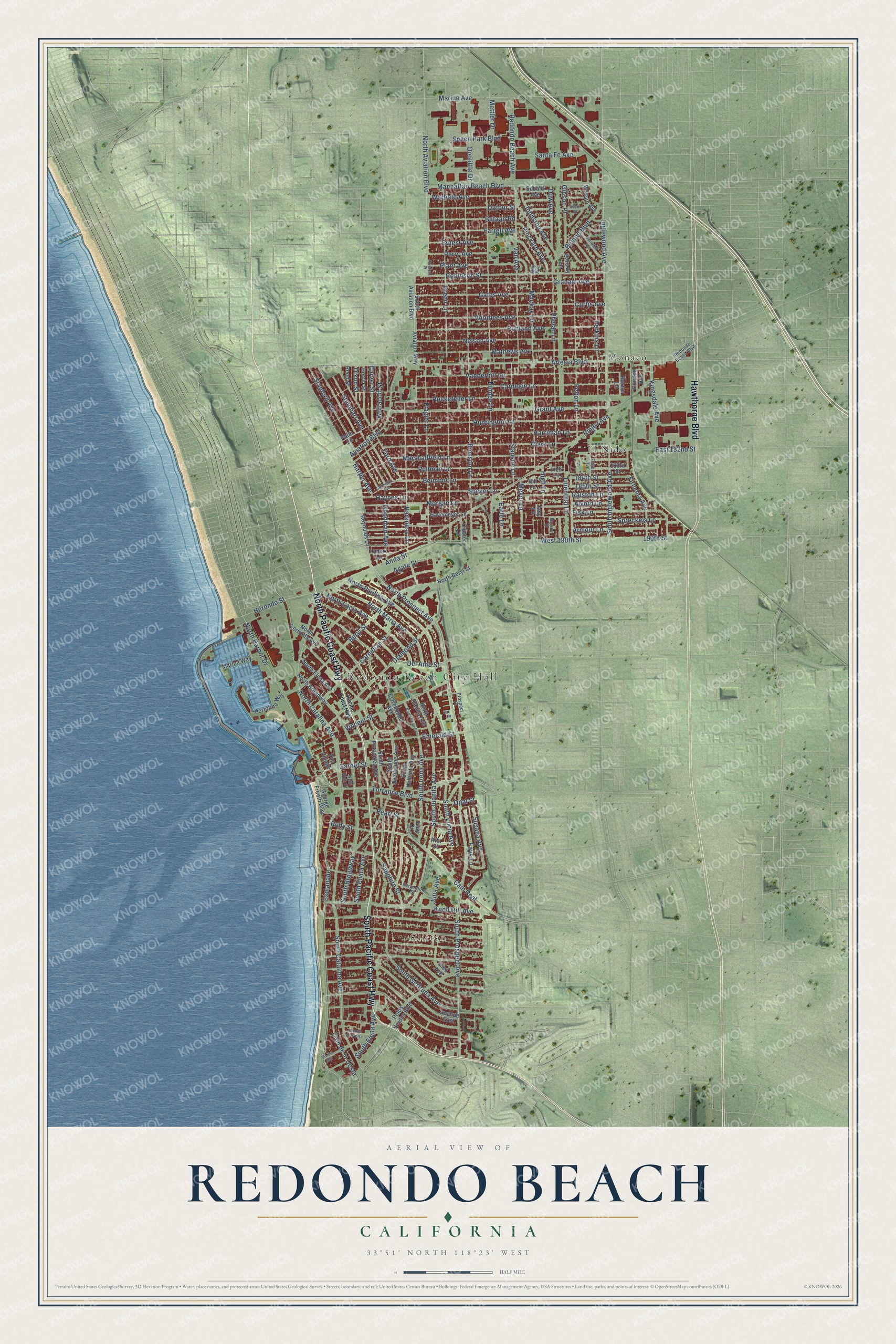
Explore Redondo Beach, California from a whole new perspective. Created using aerial imagery and detailed geographic data, this map captures Redondo Beach building by building, with labeled streets, familiar landmarks, and shaded topographical relief that highlights the natural contours of the landscape.
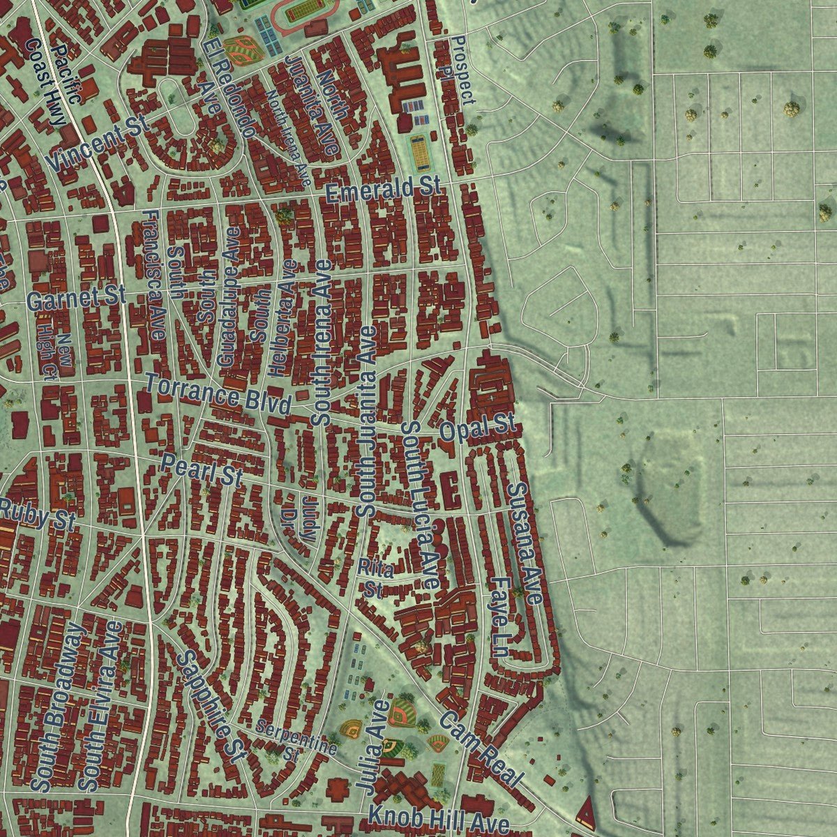
Combining modern data with the timeless character of a vintage atlas, this map is just as interesting up close as it is beautiful on the wall. Whether you grew up in Redondo Beach, spent memorable years there, or call it home today, this unique map is a great way to celebrate a place that means something to you. Zoom in on the preview to look for your street, and then order a print to put your memories on the wall.
Three ways to hang it
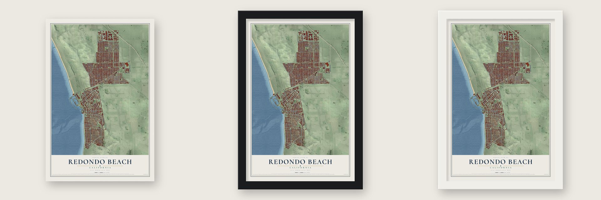
Unframed archival matte, a black wood frame or a white wood frame.
Up close
Geography Worth Displaying
This map was created using accurate cartographic data and authoritative geographic sources, including the U.S. Geological Survey and the Census Bureau. The map brings together terrain, waterways, roads, and building detail. The majority of the streets are labeled, houses are accurately depicted, and the topography is derived from government sources. Combining local data with carefully composed color and shading leads to this beautifully detailed Redondo Beach artwork for your wall.
Rather than simply showing street outlines, we’ve included as many of the street names as we could reasonably fit on the map while keeping their names legible. Zoom in on the high resolution preview to see exactly what’s on the map. We truly set out to create a statement piece for anyone who loves Redondo Beach. So whether it’s for you, or a gift for someone you love, we hope this map of Redondo Beach brings back fond memories.
Read the story behind this map of Redondo Beach, California from 2026.
Find your street
Names on the Redondo Beach map
Every name below is printed on this map. Look for your street, your school, the park where you played, or the pond down the road.
Places and landmarks4
- Redondo Beach City Hall
- Clifton
- El Nido
- Monaco
Streets and roads172
- North Pacific Coast Highway
- South Pacific Coast Highway
- Hawthorne Boulevard
- Herondo Street
- Inglewood Avenue
- South Prospect Avenue
- North Catalina Avenue
- North Prospect Avenue
- South Inglewood Avenue
- 190th Street
- South Catalina Avenue
- Emerald Street
- North Harbor Drive
- Artesia Boulevard
- Rindge Lane
- Blossom Lane
- Green Lane
- Carnegie Lane
- Ripley Avenue
- Grant Avenue
- Esplanade
- Rockefeller Lane
- South Irena Avenue
- Aviation Boulevard
- Clark Lane
- Flagler Lane
- South Juanita Avenue
- Huntington Lane
- Phelan Lane
- Goodman Avenue
Show all 172 streets
- Harriman Lane
- Vanderbilt Lane
- Marshallfield Lane
- Manhattan Beach Boulevard
- Mackay Lane
- Harkness Lane
- Beryl Street
- Ruhland Avenue
- Gates Avenue
- Curtis Avenue
- Voorhees Avenue
- Graham Avenue
- Nelson Avenue
- Mathews Avenue
- Perkins Lane
- Robinson Street
- South Gertruda Avenue
- Vail Avenue
- Spreckels Lane
- Marine Avenue
- West 190th Street
- Felton Lane
- North Lucia Avenue
- Diamond Street
- South Broadway
- Cam Real
- Knob Hill Avenue
- North Aviation Boulevard
- Torrance Boulevard
- Pullman Lane
- Armour Lane
- Stanford Avenue
- Fisk Lane
- Belmont Lane
- Pearl Street
- Harper Avenue
- Ford Avenue
- Speyer Lane
- North Paulina Avenue
- Anita Street
- North Maria Avenue
- Garnet Street
- Slauson Lane
- Sapphire Street
- Carnelian Street
- Firmona Avenue
- Ralston Lane
- Vincent Street
- South Lucia Avenue
- Steinhart Avenue
- Morgan Lane
- Gibson Place
- Kingsdale Avenue
- Warfield Avenue
- Plant Avenue
- Bataan Road
- Dufour Street
- Farrell Avenue
- Redondo Beach Avenue
- Agate Street
- Ruby Street
- Space Park Boulevard
- Beland Boulevard
- Johnston Avenue
- High Lane
- Alvord Lane
- Lilienthal Lane
- Santa Fe Avenue
- Wollacott Street
- East 182nd Street
- Dow Avenue
- Pinckard Avenue
- 185th Street
- Meyer Lane
- Carver Street
- Cam de la Costa
- Opal Street
- Ernest Avenue
- Perry Avenue
- 184th Street
- Susana Avenue
- Del Amo Street
- Faye Lane
- Earle Lane
- South Elena Avenue
- South Elvira Avenue
- Doolittle Drive
- Haynes Lane
- Mettler Drive
- Julia Avenue
- Dixon Street
- South Helberta Avenue
- Avenue East
- North Juanita Avenue
- Palos Verdes Boulevard
- South Guadalupe Avenue
- South Francisca Avenue
- North Gertruda Avenue
- Havemeyer Lane
- El Redondo Avenue
- North Broadway
- Ives Lane
- Aviation Way
- Ynez Avenue
- Portofino Way
- Marina Way
- Herrin Street
- South Aviation Boulevard
- North Elena Avenue
- Hill Lane
- McBain Avenue
- Reynolds Lane
- George Freeth Way
- 183rd Street
- North Beryl Street
- The Village
- Palm Lane
- Condon Avenue
- Sebald Avenue
- Amy Lane
- Cluster Lane
- Lomax Lane
- Ruxton Lane
- Barclay Lane
- Rita Street
- Reed Street
- Judy Drive
- May Avenue
- Felton Avenue
- Serpentine Street
- Redondo Beach Boulevard
- New High Court
- Prospect Place
- Pacific Coast Highway
- North Irena Avenue
- Vis del Mar
- Blaisdell Avenue
- 160th Street
- Avenue del Norte
- Carmelita Avenue
- Maryann Drive
- Aviation Place
Names are listed as they appear on the printed map. Zoom into the product photos to find them.
About Redondo Beach, California
Redondo Beach is a city of 71,576 people in Los Angeles County, on the southern stretch of Santa Monica Bay, and its name is Spanish for 'round.' Long before any city stood here, the Chowigna band of the Tongva lived along this shore and traded salt from a lake near the ocean with other tribes. Later the ground became part of Rancho San Pedro, a Spanish land grant made in 1784.
In 1854 Manuel Dominguez sold 215 acres of the rancho, the lake included, to Henry Allanson and William Johnson for their Pacific Salt Works, and the Chowigna were moved to the missions. The town grew quickly after that, and by 1892 Redondo Beach had incorporated as a city and was working as an early port for Los Angeles.
“Cultural events, recitals, and speakers such as Charles Lummis enhanced the lives of the local residents from the stage in the clubhouse.”
- The Place of SaltThe Tongva village of Ongovanga, a name meaning "Place of Salt," sat beside the old Redondo Salt Lake. That lake was fed by springs and measured about 200 yards across and 600 yards long, only about 200 yards back from the beach. The nearby wetlands, where a power plant later stood, gave the Tongva halibut, lobster and sea bass as well as salt.
- From lookout to missile siteThe Chowigna watched over the coast from the high ground that is now Hopkins Wilderness Park. Centuries later the Army used the same hill for a different kind of watch: from 1956 to 1963 it held Nike missile site LA-57, before the land was turned into a park.
- A library where a hotel stoodThe city's library started as a reading room in 1895 and moved into the west wing of City Hall, at 301 Emerald Street, in 1909. In 1928 the Chamber of Commerce urged a new building on the old Hotel Redondo site, now Veterans Park. Architect Lovel Bearse Pemberton designed it in a Spanish and Dutch colonial style, and it opened on July 2, 1930. It served as the main library for 60 years and joined the National Register in 1981.
- An official bird that fliesIn 1983 the city council passed a resolution naming the Goodyear Airship Columbia, better known as the Goodyear blimp, the "Official Bird of Redondo Beach."
Keep exploring California
Redondo Beach is one of 1,990 California towns we've mapped. Every dot on the map is a print of its own.
The search covers every state, California first.
Near Redondo Beach
Order 2 or more town maps and save 10%. Shown in the size and finish you picked above, so they hang as a set.
- Hermosa Beach 12" x 18" / Archival Matte Print $39.99
- Torrance 12" x 18" / Archival Matte Print $39.99
- Manhattan Beach 12" x 18" / Archival Matte Print $39.99
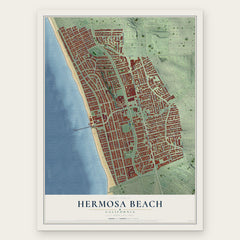
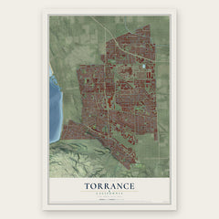
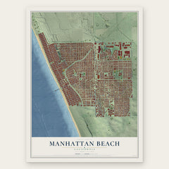
More maps nearby: Lawndale, El Segundo, Alondra Park, Del Aire and Palos Verdes Estates.
The art of mapping a place
How This Map Was Made
Real places. Remarkable detail. Discover the layers that turn geographic data into a map of home.

The view from above
Aerial imagery reveals the character of the land: woodland, open fields, and the patterns of a place.

The shape of the land
Elevation data brings hills, valleys, and subtle changes in the landscape into view.

The details of home
Roads, waterways, and building footprints come together to make the map feel unmistakably local.

Geography becomes art
Considered color, shading, and typography bring the layers together in a map made for your wall.


Process illustrated with Mendon, Massachusetts. Aerial imagery: USDA NAIP. Terrain: USGS 3D Elevation Program. Map details and finished artwork: KNOWOL.
The Details
About This Print
Choose an archival matte print, or a black or white Ayous wood frame. The archival matte print is unframed.
Select your size and finish above to see the matching product image and price.
Materials & Craftsmanship
A contemporary map with the character of a classic atlas, printed on archival matte paper. Optional frames are made from Ayous wood.
Your printed map does not include the watermark shown in the full-map preview.
Shipping & Delivery
Free shipping within the United States. Every print is made to order in the USA.
Buying a gift? Add a note in your cart and we'll include it. We never put prices in the package.
Prints ship within 2 to 3 business days. Allow 7 to 10 days total from ordering for delivery. Timing may vary during holidays or periods of high order volume.
Read our shipping policy.
Returns and damaged prints
Each print is made to order. Change-of-mind refunds are not available after production.
If your print arrives damaged, misprinted or incorrect, contact support@knowol.com within 30 days of receiving it. Include your order number, photos and a description of the issue.
Read our full refund and replacement policy. For questions about your order, email support@knowol.com.