
Search for another town
Free U.S. delivery 7 to 10 days after you order
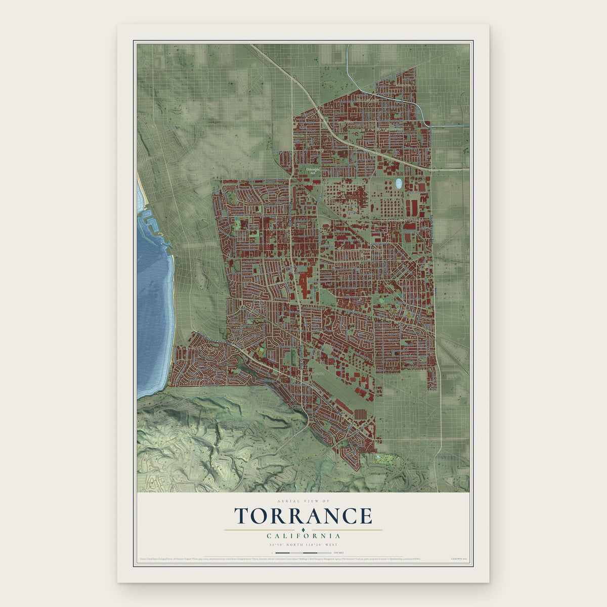
Torrance, California Map Art
Building by building, with labeled streets and shaded relief.
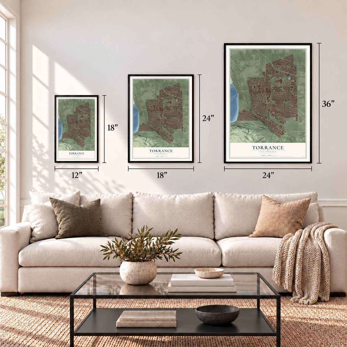
12" x 18" Archival Matte Print
A Map of Home. A Work of Art.
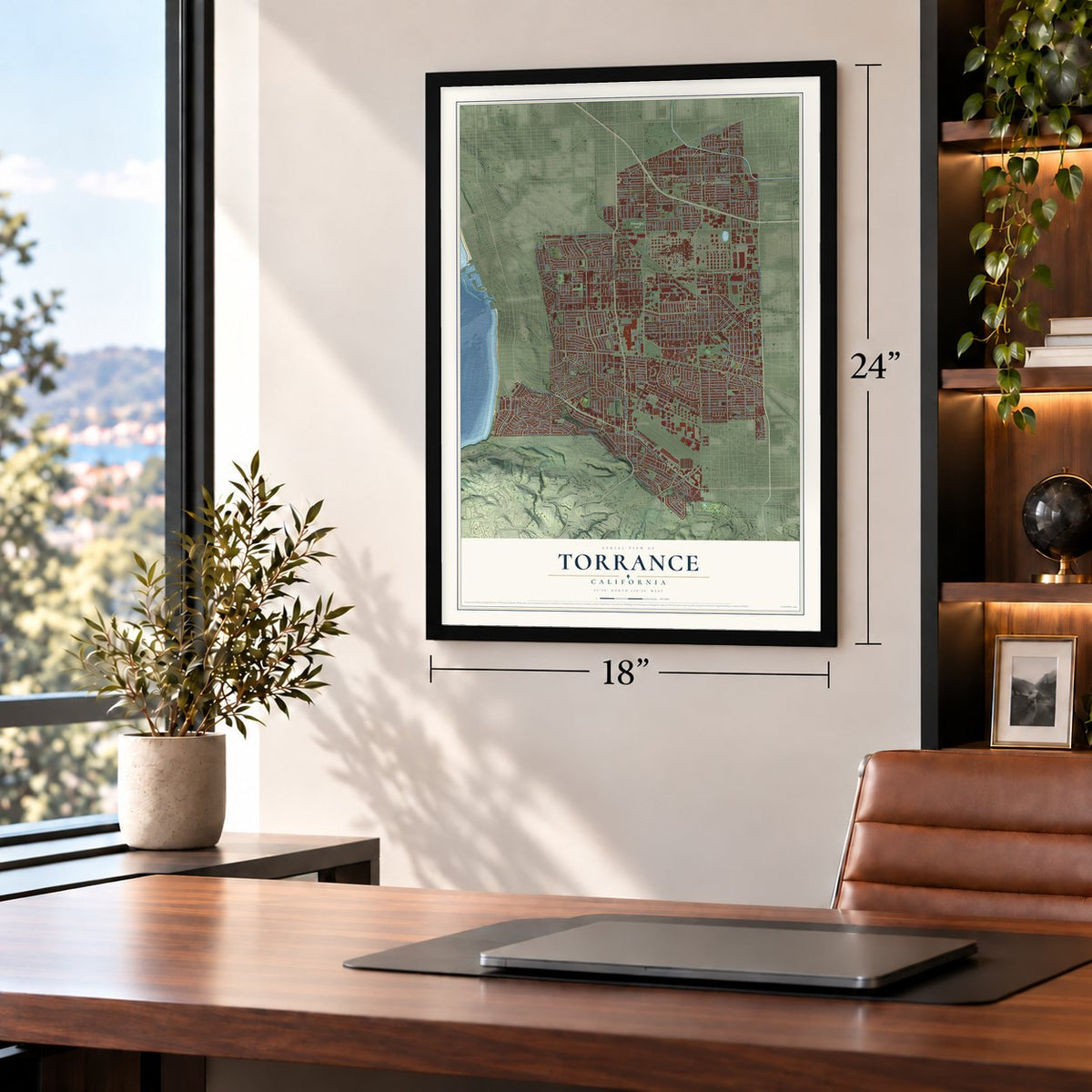
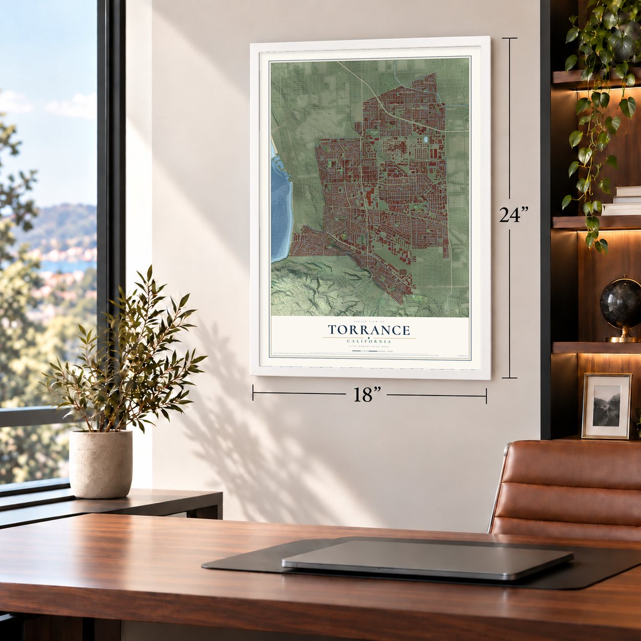
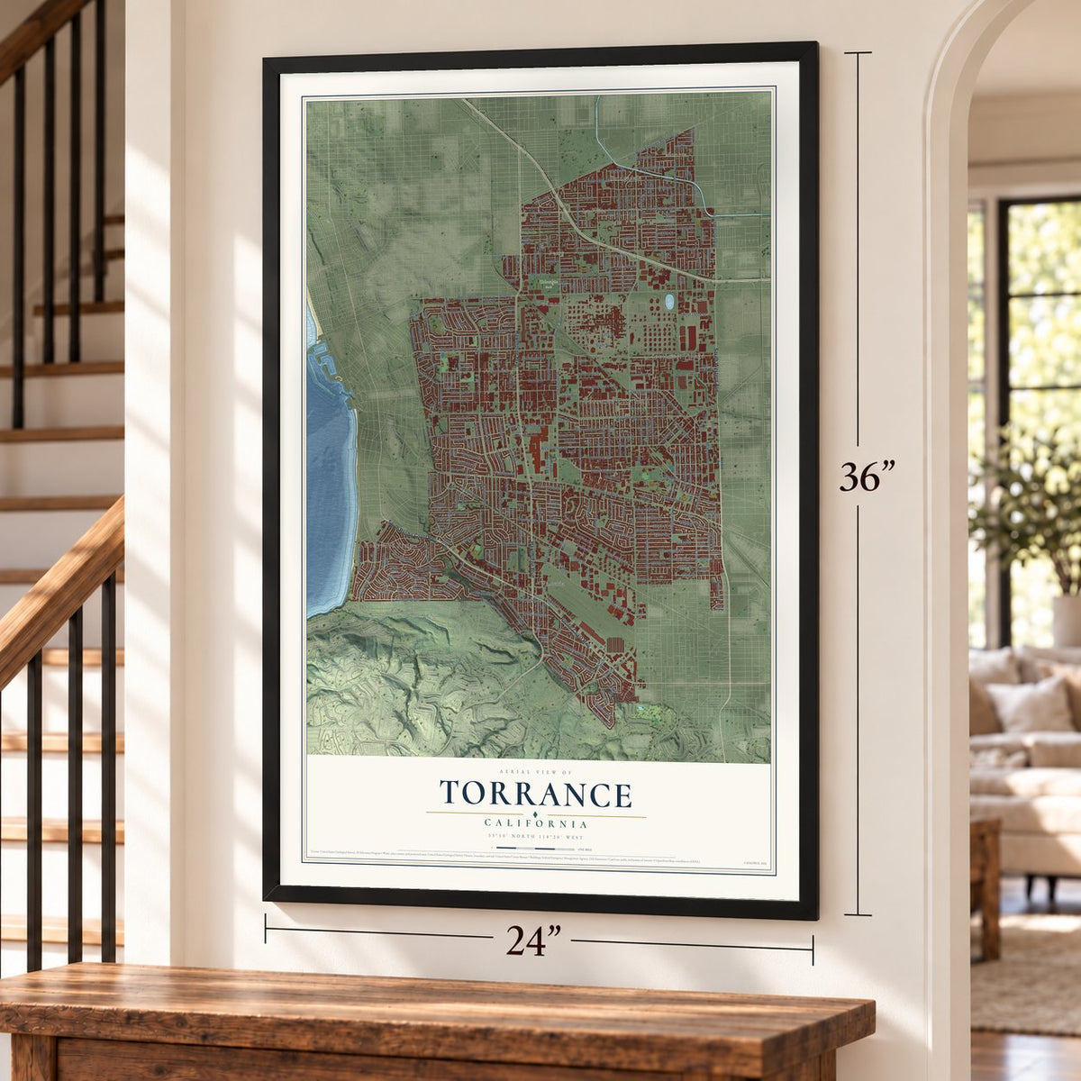
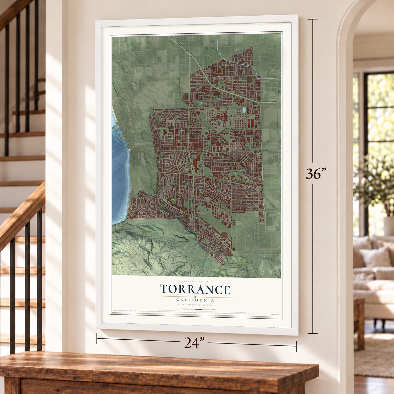
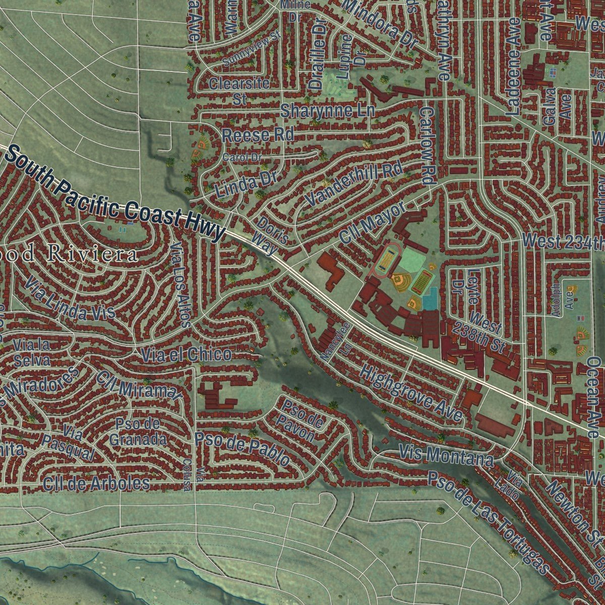
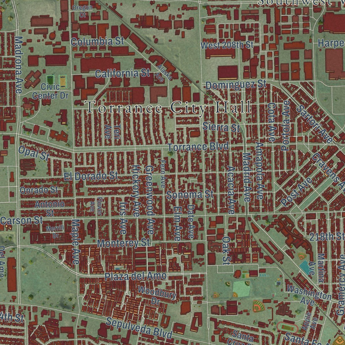
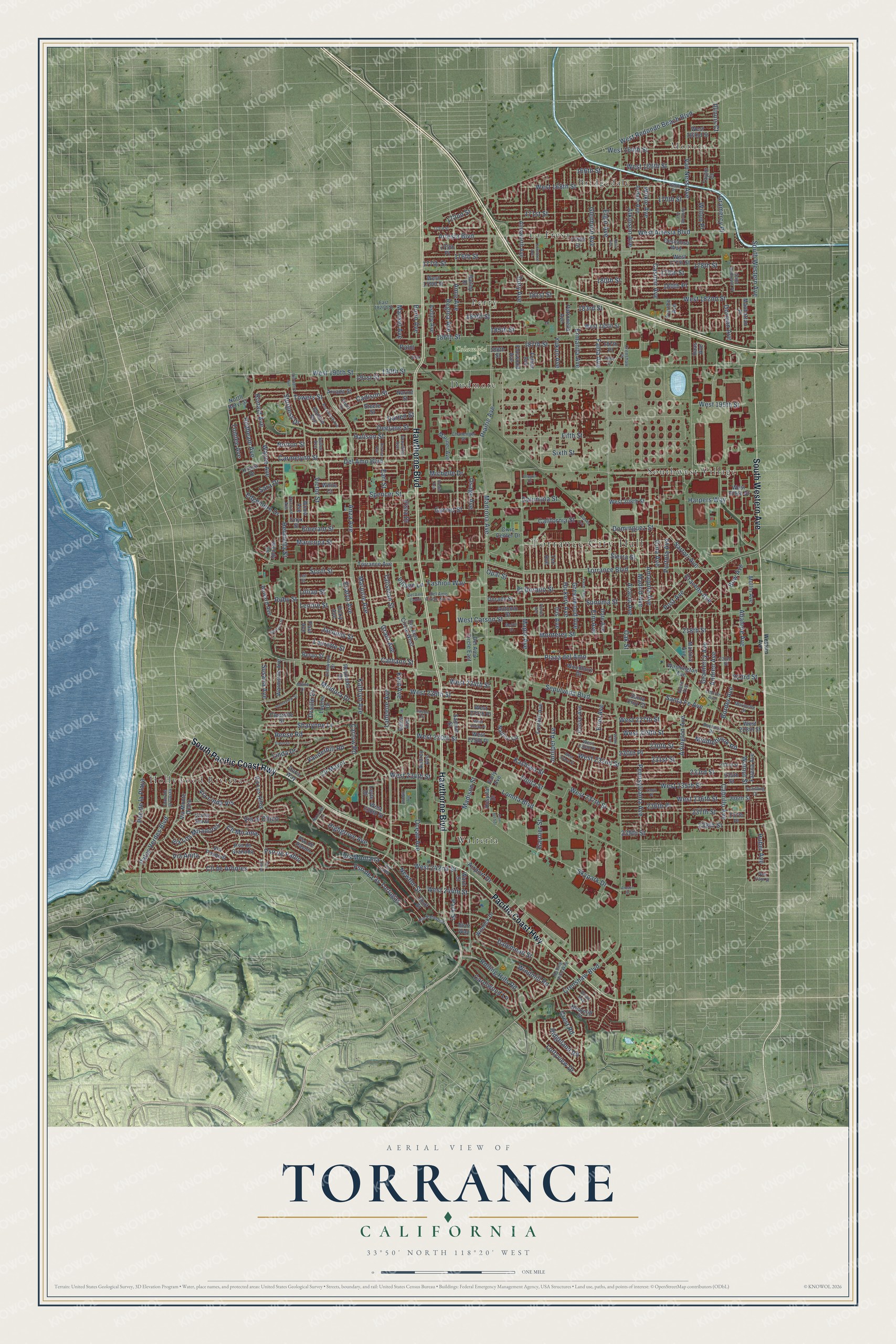
Explore Torrance, California from a whole new perspective. Created using aerial imagery and detailed geographic data, this map captures Torrance building by building, with labeled streets, familiar landmarks, and shaded topographical relief that highlights the natural contours of the landscape.
Combining modern data with the timeless character of a vintage atlas, this map is just as interesting up close as it is beautiful on the wall. Whether you grew up in Torrance, spent memorable years there, or call it home today, this unique map is a great way to celebrate a place that means something to you. Zoom in on the preview to look for your street, and then order a print to put your memories on the wall.
Three ways to hang it
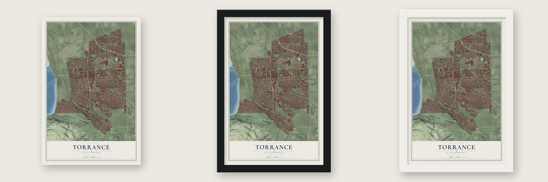
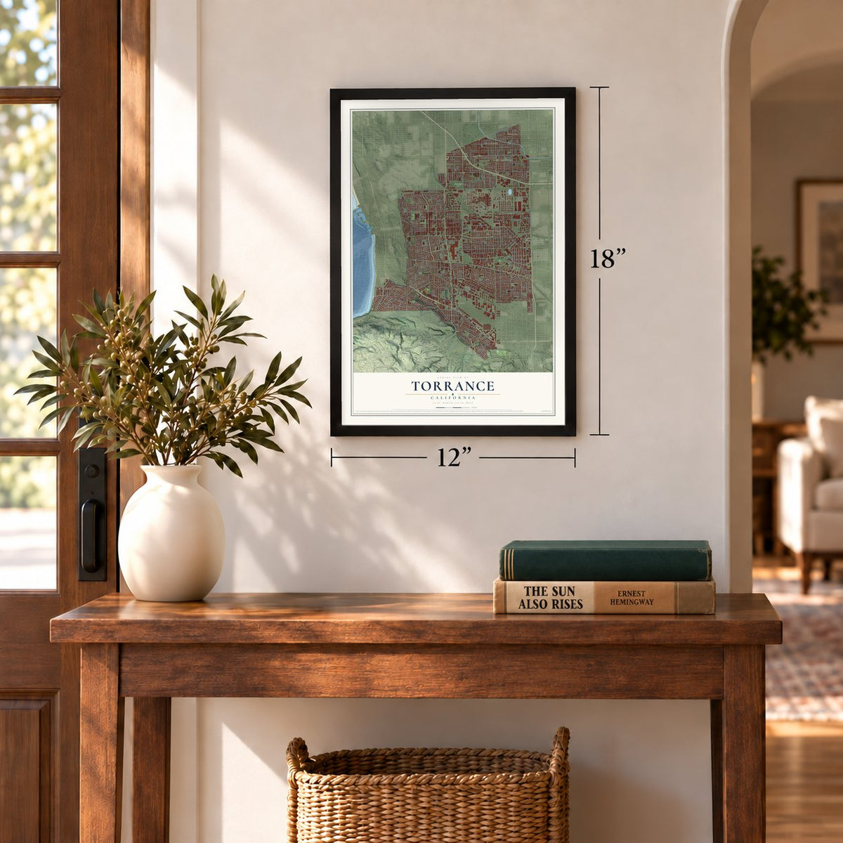
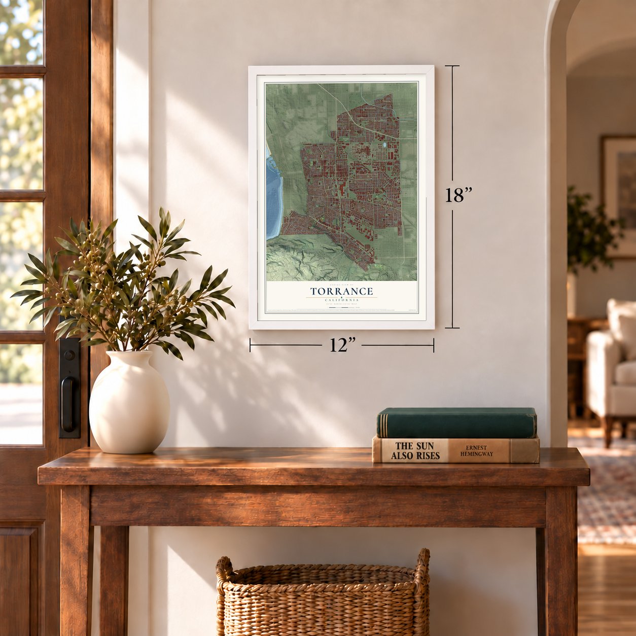
Unframed archival matte, a black wood frame or a white wood frame.
Up close
Geography Worth Displaying
This map was created using accurate cartographic data and authoritative geographic sources, including the U.S. Geological Survey and the Census Bureau. The map brings together terrain, waterways, roads, and building detail. The majority of the streets are labeled, houses are accurately depicted, and the topography is derived from government sources. Combining local data with carefully composed color and shading leads to this beautifully detailed Torrance artwork for your wall.
Rather than simply showing street outlines, we’ve included as many of the street names as we could reasonably fit on the map while keeping their names legible. Zoom in on the high resolution preview to see exactly what’s on the map. We truly set out to create a statement piece for anyone who loves Torrance. So whether it’s for you, or a gift for someone you love, we hope this map of Torrance brings back fond memories.
Read the story behind this map of Torrance, California from 2026.
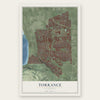
Find your street
Names on the Torrance map
Every name below is printed on this map. Look for your street, your school, the park where you played, or the pond down the road.
Places and landmarks10
- Torrance City Hall
- Moneta
- Columbia Park
- Bridgedale
- Dudmore
- Hollywood Riviera
- La Fresa
- Perry
- Southwest Village
- Walteria
Streets and roads338
- South Western Avenue
- Hawthorne Boulevard
- Pacific Coast Highway
- South Pacific Coast Highway
- Plaza del Amo
- Wilkie Avenue
- Portola Avenue
- Arlington Avenue
- Madrid Avenue
- West 190th Street
- Casimir Avenue
- 187th Street
- Torrance Boulevard
- West 226th Street
- West 164th Street
- Laurette Street
- Jacques Street
- Crenshaw Boulevard
- Anza Avenue
- Del Amo Boulevard
- Sepulveda Boulevard
- West Carson Street
- Van Ness Avenue
- Artesia Boulevard
- Palos Verdes Boulevard
- West 182nd Street
- Ocean Avenue
- Madison Street
- Newton Street
- Maricopa Street
Show all 338 streets
- Maple Avenue
- Lomita Boulevard
- Cll Mayor
- Ladeene Avenue
- Prairie Avenue
- West 235th Street
- West Artesia Boulevard
- Cabrillo Avenue
- Madrona Avenue
- 171st Street
- Airport Drive
- 177th Street
- Emerald Street
- 186th Street
- Linda Drive
- Gramercy Place
- Spencer Street
- Evalyn Avenue
- Skypark Drive
- Yukon Avenue
- Amie Avenue
- El Dorado Street
- 180th Place
- West 234th Street
- Border Avenue
- Cll de Arboles
- 180th Street
- 170th Street
- Sonoma Street
- 178th Street
- 181st Street
- Wilton Place
- Cll Miramar
- Halison Street
- Pso de Las Tortugas
- Falda Avenue
- Towers Street
- Walnut Street
- Dalemead Street
- Marjorie Avenue
- 176th Street
- West 227th Street
- Elm Avenue
- Sartori Avenue
- Redbeam Avenue
- West 230th Street
- West 168th Street
- Carmelynn Street
- Talisman Street
- Santa Fe Avenue
- Pennsylvania Avenue
- Gramercy Avenue
- Ermanita Avenue
- 230th Street
- Glenburn Avenue
- 233rd Street
- Cathann Street
- West 229th Street
- Garnet Street
- Via Los Miradores
- Tomlee Avenue
- Susana Avenue
- 238th Street
- West 237th Street
- Rolling Hills Road
- Monterey Street
- Greenwood Avenue
- Atkinson Avenue
- 185th Street
- 179th Street
- Amapola Avenue
- Kathryn Avenue
- West Redondo Beach Boulevard
- Kent Avenue
- Pso de la Playa
- Sharynne Lane
- 231st Street
- West 236th Street
- 237th Street
- Hickory Avenue
- Andreo Avenue
- Michelle Drive
- Earl Street
- Victor Street
- Henrietta Street
- Deelane Street
- West 166th Street
- Lenore Street
- West 232nd Street
- Abalone Avenue
- Elgar Avenue
- 183rd Street
- Grant Avenue
- 172nd Street
- Huber Avenue
- Cota Avenue
- Sierra Street
- Illinois Court
- Cravens Avenue
- Cadison Street
- Scott Street
- Acacia Avenue
- Sara Drive
- 184th Street
- Mansel Avenue
- Reese Road
- Doty Avenue
- Carlow Road
- Juniper Avenue
- Osage Avenue
- West 242nd Street
- Vanderhill Road
- Eriel Avenue
- 230th Place
- Middlebrook Road
- West 244th Street
- Dominguez Street
- Wayne Avenue
- Mindora Drive
- Via el Chico
- Via Linda Vis
- Loftyview Drive
- Fashion Way
- Ruby Street
- Vis Montana
- 236th Place
- 239th Street
- Norton Street
- Post Avenue
- Highgrove Avenue
- California Street
- Darien Street
- Regina Avenue
- Carolwood Lane
- Fujita Street
- Iris Avenue
- Park Street
- Burin Avenue
- Crest Road
- Via Anita
- Opal Street
- Columbia Street
- West 195th Street
- 218th Street
- 191st Street
- Kashiwa Street
- Edgemere Drive
- Ridgeland Road
- Pso de Pablo
- Bow Avenue
- Village Lane
- Windmill Road
- Harpers Way
- West 224th Street
- Dorman Avenue
- Fifth Street
- Sixth Street
- Garnier Street
- Ronald Avenue
- Sturgess Drive
- 190th Street
- Oak Street
- 166th Street
- 223rd Street
- Draille Drive
- Vista Drive
- Lillian Street
- Palm
- Nadine Circle
- Doris Way
- Haas Avenue
- Fonthill Avenue
- Reynolds Drive
- Cerise Avenue
- 175th Street
- Patronella Avenue
- Date Avenue
- 234th Street
- West 177th Street
- West 228th Street
- Via Monte D'Oro
- Felbar Avenue
- Ardath Avenue
- Manhattan Place
- Del Amo Circle West
- Donora Avenue
- Via Pasqual
- West 238th Street
- Taylor Court
- Arvada Street
- Ainsworth Avenue
- Narrot Street
- Florwood Avenue
- 187th Place
- Konya Drive
- Washington Avenue
- Onrado Street
- Bailey Drive
- Ward Street
- West 179th Street
- 188th Street
- Falena Avenue
- 236th Street
- West 205th Street
- Audrey Avenue
- Mariner Avenue
- West 208th Street
- Samuel Street
- Del Amo Circle East
- Wendy Drive
- Onyx Street
- Bluff Street
- Purche Avenue
- Beran Street
- Martina Avenue
- 175th Place
- Wood Avenue
- Winlock Drive
- North Beryl Street
- Leyte Drive
- White Court
- West 185th Street
- Warmside Avenue
- Pso de Granada
- Mullin Avenue
- Teri Avenue
- 237th Place
- West 227th Place
- Clearsite Street
- Nearcliff Street
- Woodbury Drive
- Antonio Street
- West 162nd Street
- Galva Avenue
- West 229th Place
- Civic Center Drive
- Torrance Avenue
- Descanso Way
- Via Los Altos
- Hospital Drive
- Ashley Avenue
- Santa Cruz Court
- Howard Avenue
- Via la Selva
- Early Avenue
- Steele Street
- Vicky Avenue
- Pso de Pavon
- Paul Avenue
- Lupine Drive
- Blair Way
- Ellinwood Drive
- 232nd Street
- Fern Avenue
- Saint Andrews Place
- Reynosa Drive
- Lincoln Avenue
- Milne Drive
- Grevillea Avenue
- Lee Street
- East 182nd Street
- 222nd Street
- Via Valmonte
- West 230th Place
- 169th Place
- Del Amo Circle North
- Rolling Hills Way
- Brian Avenue
- Challenger Street
- Cam de la Costa
- Pruitt Drive
- Marinette Street
- Vaccaro Avenue
- Crenshaw Place
- Apple Avenue
- Jason Circle
- Via Lado
- Saltee Avenue
- Schilling Court
- Star
- Western Avenue
- Kornblum Avenue
- Entradero Avenue
- 235th Place
- Via Colusa
- 173rd Street
- Adolph Avenue
- Spinning Avenue
- Delia Avenue
- West 233rd Street
- Carol Drive
- West 228th Place
- Beckworth Avenue
- Alaska Avenue
- 189th Street
- Merrill Drive
- Sunnyview Street
- Wade Avenue
- Roslin Avenue
- Cam del Sol
- Barbara Street
- Bernist Avenue
- Del Amo Center
- Nancylee Lane
- West 245th Street
- Oregon Court
- Amsler Street
- Flower Avenue
Names are listed as they appear on the printed map. Zoom into the product photos to find them.
About Torrance, California
Torrance is a city of 147,067 people in Los Angeles County, in the South Bay. The Tongva lived here for thousands of years, when much of the land was marsh. In 1784 the Spanish Crown granted Rancho San Pedro, more than 75,000 acres that took in today's Torrance, to the soldier Juan José Domínguez.
In the early 1900s the developer Jared Sidney Torrance and fellow investors bought part of that old grant. They wanted a town where factories and homes would sit side by side, and they hired Frederick Law Olmsted Jr. to plan it. The town was founded in October 1912 and took Torrance's name, and it became an incorporated city on May 12, 1921.
- A downtown set on a diagonalThe Olmsted Brothers laid out 109 city blocks in three parts: homes, shops and industry. They put the factories on the east side and tilted the downtown on a diagonal, so ocean breezes would carry factory smoke away from where people lived and shopped. The landscaped main street lines up with a view of Mount San Antonio, a peak of the San Gabriel range.
- The El Prado Bridge, 1913Pacific Electric Red Cars ran between downtown Los Angeles and the new town, ending at a depot Irving Gill designed in 1912. In May 1913 the railway built a concrete, double-tracked arch bridge, often called the El Prado Bridge, to carry freight and workers to Torrance factories. Pacific Electric stopped Red Car service to Torrance in the 1940s, and the bridge joined the National Register on July 13, 1989.
- One school for every grade, 1917Torrance School opened on September 11, 1917, teaching children from kindergarten through twelfth grade, and its building was finished that December 23. Torrance School and its Main Building, Auditorium and Home Economics Building joined the National Register in 1983.
- Louis Zamperini's airportThe city airport, first called Torrance Airport, is now Zamperini Field. It honors Louis Zamperini, a Torrance High graduate who became a track star and a World War II hero. In 2015 he was Grand Marshal of the Rose Parade, and the Torrance float honoring him won the Theme trophy.
- A parade every year since 1960Torrance first held its Armed Forces Day Parade in 1960, and no other city has sponsored a military parade for longer. Each year military vehicles, school bands and community leaders go down Torrance Boulevard. The city is also where the American Youth Soccer Organization began.
Keep exploring California
Torrance is one of 1,990 California towns we've mapped. Every dot on the map is a print of its own.
The search covers every state, California first.
Near Torrance
Order 2 or more town maps and save 10%. Shown in the size and finish you picked above, so they hang as a set.
- Redondo Beach 12" x 18" / Archival Matte Print $39.99
- Lomita 12" x 18" / Archival Matte Print $39.99
- West Carson 12" x 18" / Archival Matte Print $39.99

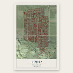
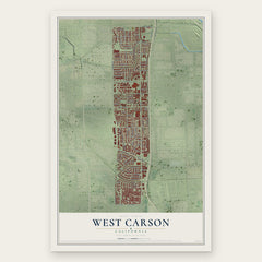
More maps nearby: Rolling Hills Estates, Hermosa Beach, Lawndale, Harbor City and Alondra Park.
The art of mapping a place
How This Map Was Made
Real places. Remarkable detail. Discover the layers that turn geographic data into a map of home.

The view from above
Aerial imagery reveals the character of the land: woodland, open fields, and the patterns of a place.

The shape of the land
Elevation data brings hills, valleys, and subtle changes in the landscape into view.

The details of home
Roads, waterways, and building footprints come together to make the map feel unmistakably local.

Geography becomes art
Considered color, shading, and typography bring the layers together in a map made for your wall.


Process illustrated with Mendon, Massachusetts. Aerial imagery: USDA NAIP. Terrain: USGS 3D Elevation Program. Map details and finished artwork: KNOWOL.
The Details
About This Print
Choose an archival matte print, or a black or white Ayous wood frame. The archival matte print is unframed.
Select your size and finish above to see the matching product image and price.
Materials & Craftsmanship
A contemporary map with the character of a classic atlas, printed on archival matte paper. Optional frames are made from Ayous wood.
Your printed map does not include the watermark shown in the full-map preview.
Shipping & Delivery
Free shipping within the United States. Every print is made to order in the USA.
Buying a gift? Add a note in your cart and we'll include it. We never put prices in the package.
Prints ship within 2 to 3 business days. Allow 7 to 10 days total from ordering for delivery. Timing may vary during holidays or periods of high order volume.
Read our shipping policy.
Returns and damaged prints
Each print is made to order. Change-of-mind refunds are not available after production.
If your print arrives damaged, misprinted or incorrect, contact support@knowol.com within 30 days of receiving it. Include your order number, photos and a description of the issue.
Read our full refund and replacement policy. For questions about your order, email support@knowol.com.