
Search for another town




Free U.S. delivery 7 to 10 days after you order
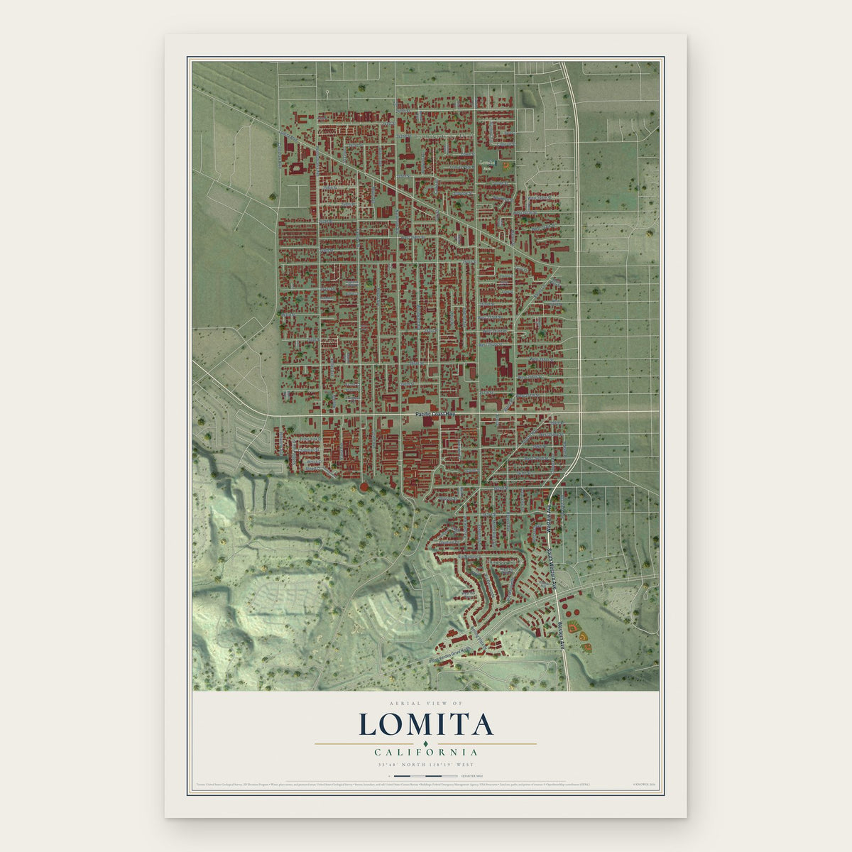
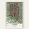
Lomita, California Map Art
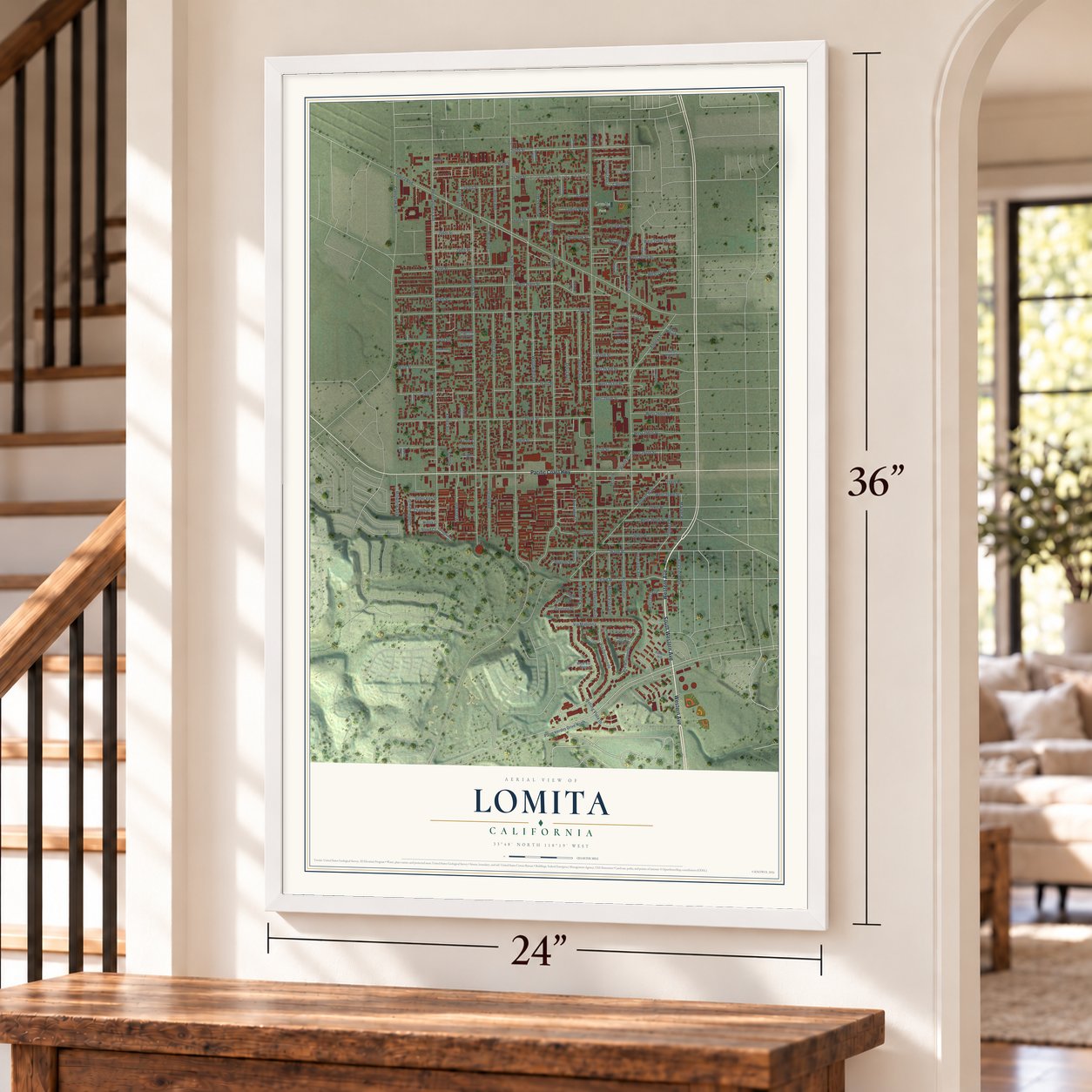
A new map of Lomita, California, made in 2026 and printed to order on thick archival matte paper.
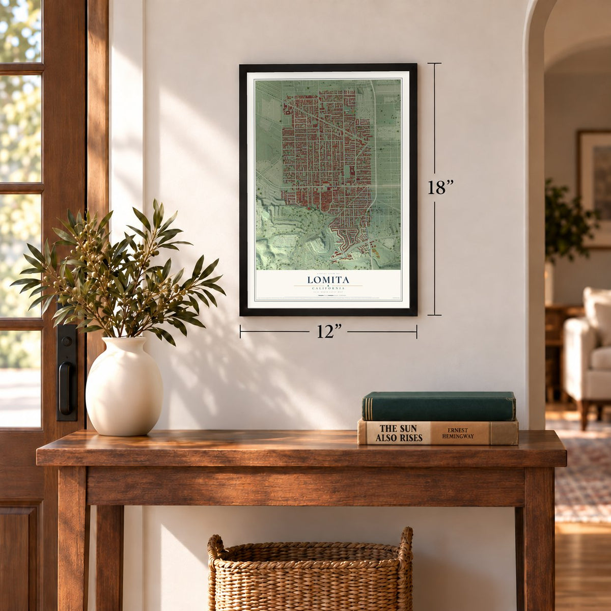
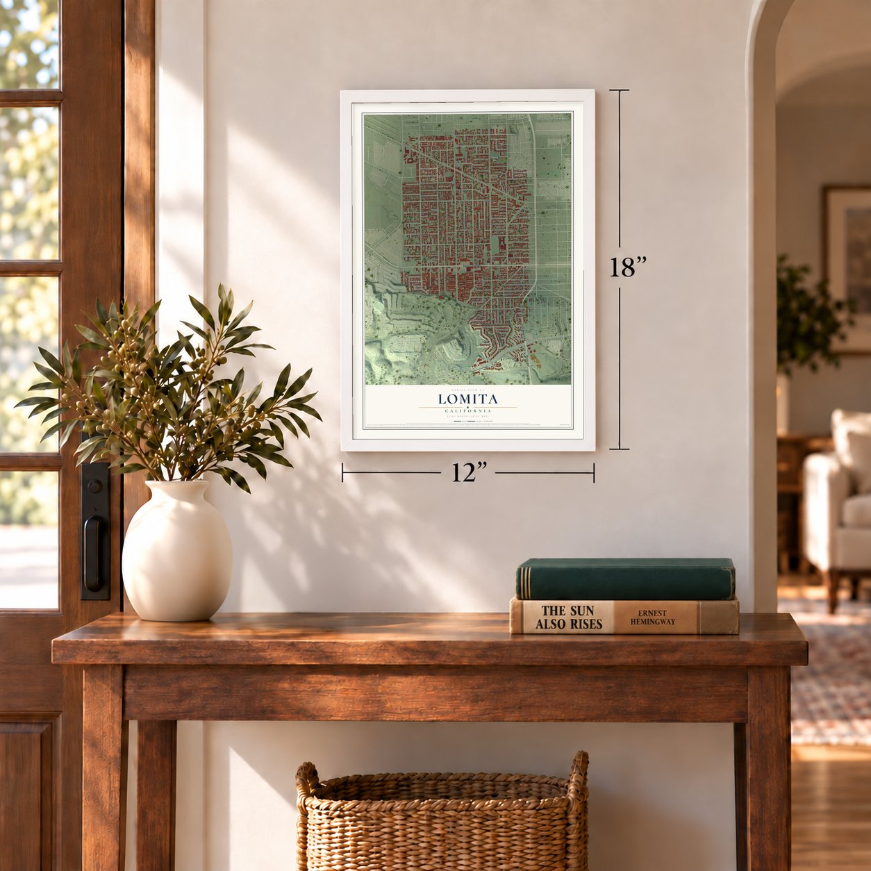
12" x 18" Archival Matte Print
A Map of Home. A Work of Art.
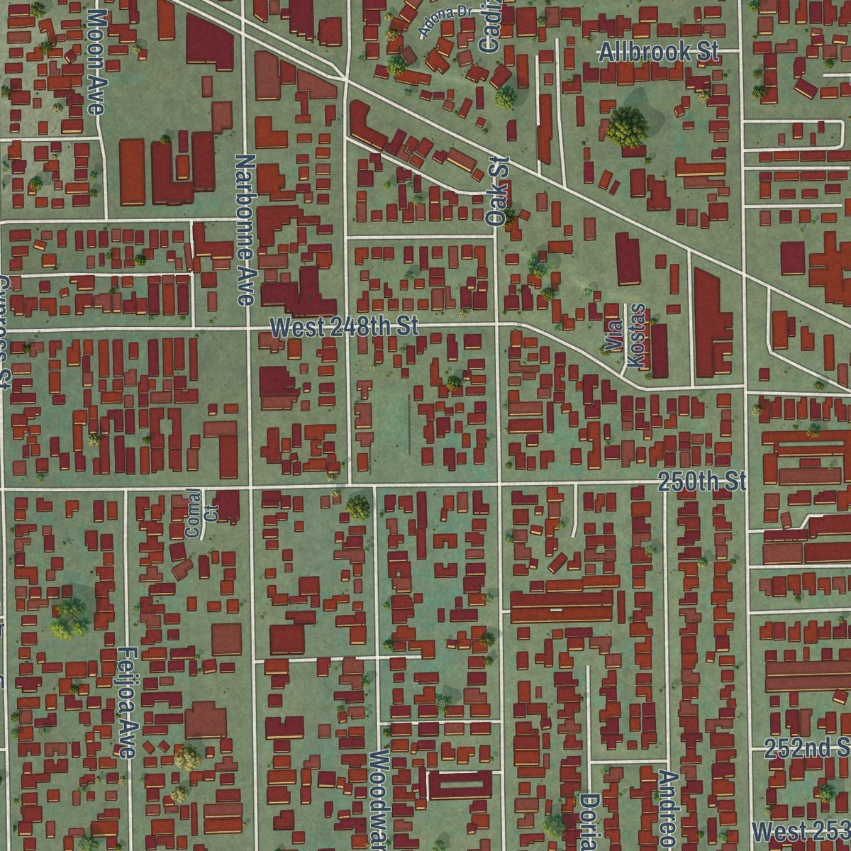
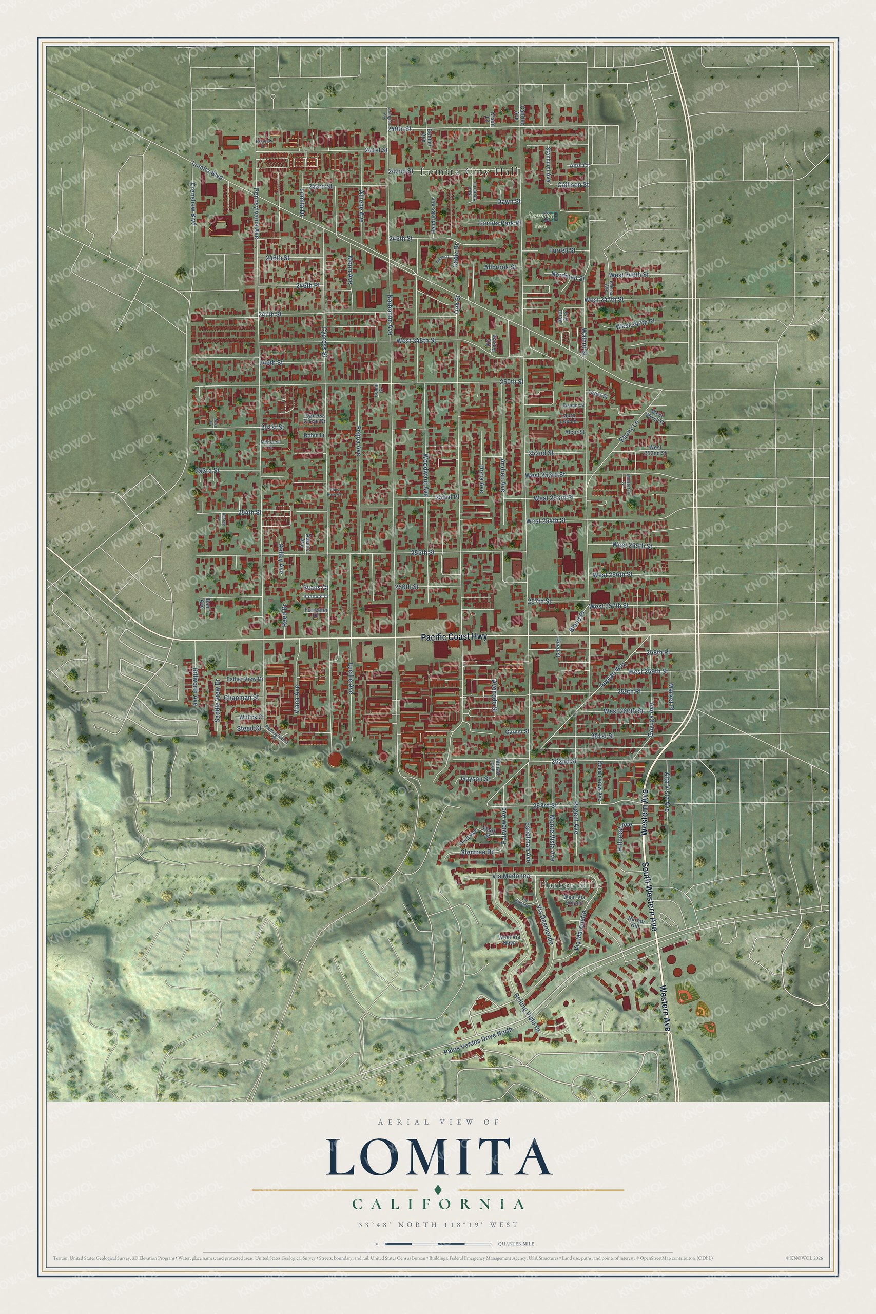
Explore Lomita, California from a whole new perspective. Created using aerial imagery and detailed geographic data, this map captures Lomita building by building, with labeled streets, familiar landmarks, and shaded topographical relief that highlights the natural contours of the landscape.
Combining modern data with the timeless character of a vintage atlas, this map is just as interesting up close as it is beautiful on the wall. Whether you grew up in Lomita, spent memorable years there, or call it home today, this unique map is a great way to celebrate a place that means something to you. Zoom in on the preview to look for your street, and then order a print to put your memories on the wall.
Three ways to hang it
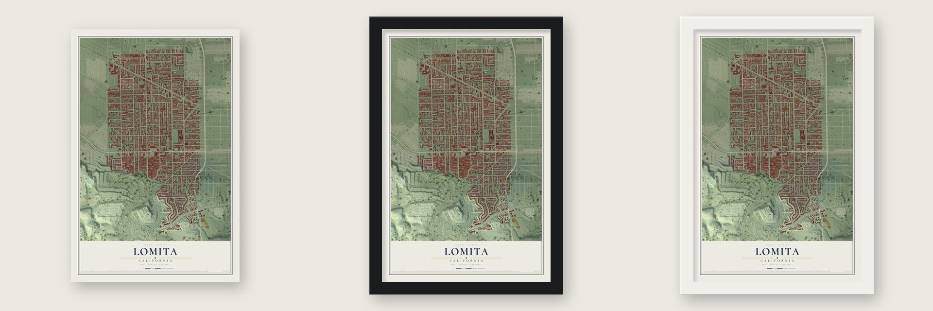
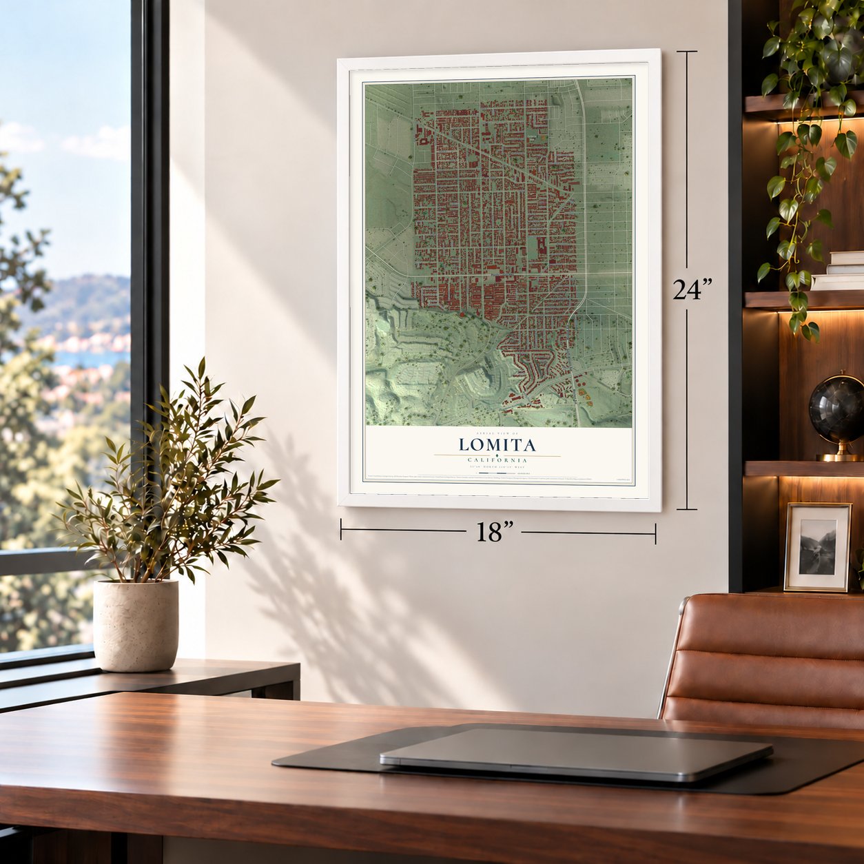
Unframed archival matte, a black wood frame or a white wood frame.
Up close
Geography Worth Displaying
This map was created using accurate cartographic data and authoritative geographic sources, including the U.S. Geological Survey and the Census Bureau. The map brings together terrain, waterways, roads, and building detail. The majority of the streets are labeled, houses are accurately depicted, and the topography is derived from government sources. Combining local data with carefully composed color and shading leads to this beautifully detailed Lomita artwork for your wall.
Rather than simply showing street outlines, we’ve included as many of the street names as we could reasonably fit on the map while keeping their names legible. Zoom in on the high resolution preview to see exactly what’s on the map. We truly set out to create a statement piece for anyone who loves Lomita. So whether it’s for you, or a gift for someone you love, we hope this map of Lomita brings back fond memories.
Read the story behind this map of Lomita, California from 2026.
About Lomita, California
Lomita is a city of 20,921 people in Los Angeles County, and its Spanish name means "little hill." The Gabrielino were the first people to live here. In 1784 the Spanish Crown granted Rancho San Pedro, more than 75,000 acres, to a soldier named Juan José Domínguez. Over the years his descendants split the land among the family and sold parcels to newcomers. They also gave some up while proving their claim, first to Mexico in 1828 and then to the United States in 1858.
By the 1930s most Lomita families made their living from truck farming, raising vegetables, fruit and eggs. The town once covered 7 square miles, but nearby cities annexed much of it, including the airfield called Lomita Fields, which is now Zamperini Field. To stop those losses and keep out high-rise apartments, residents made Lomita a city on June 30, 1964. Today it covers 1.9 square miles.
- Little Engines of LomitaIrene Lewis and her husband Martin ran Little Engines of Lomita, a business that made kits for building live steam locomotives. Her engines appeared in the films The Greatest Show on Earth (1952) and Von Ryan's Express (1965). The work pushed her to take a degree in mechanical engineering late in life.
- A railroad museum from 1966In 1966 Irene Lewis opened the Lomita Railroad Museum, built to look like the Boston & Maine's Greenwood Station in Wakefield, Massachusetts. It was the first museum of its kind west of Denver. In 1967 she donated it to the city in memory of Martin.
- A 1901 Baldwin locomotiveThe museum's steam engine is a Baldwin built in 1901, and it pulls a Southern Pacific whaleback tender. Two cabooses sit nearby, a Union Pacific from 1910 and a Santa Fe from 1949. A full-size copy of a 1920s water tower went up in 2000. Next door, a small park holds a Union Pacific boxcar from 1913 and a Union Oil tank car from 1923.
- Sister city since 1981In October 1981 Lomita became a sister city of Takaishi, in Osaka, Japan. The city is also home to Nishiyamato Academy of California, a school teaching Japanese children through the elementary and junior high grades. Ryotaro Tanose, a former member of Japan's Diet, founded it in April 1993 as a sister school to Nishiyamato Academy in Nara Prefecture. It first opened in Rolling Hills Estates.
- Jim Thorpe and Ted LillyThree well-known names are tied to Lomita: the Native American athlete Jim Thorpe, the Los Angeles Dodgers pitcher Ted Lilly, and Edward O. Thorp, who taught mathematics, wrote books, managed a hedge fund and played blackjack.
Find your street
Names on the Lomita map
Every name below is printed on this map. Look for your street, your school, the park where you played, or the pond down the road.
Places and landmarks3
- Lomita City Hall
- Harbor Hills
- Lomita Park
Streets and roads131
- South Western Avenue
- Western Avenue
- Pacific Coast Highway
- 240th Street
- Alta Vista Avenue
- 262nd Street
- Appian Way
- 263rd Street
- 259th Place
- Eshelman Avenue
- Narbonne Avenue
- Pennsylvania Avenue
- Walnut Street
- Lomita Boulevard
- Cypress Street
- Oak Street
- West 248th Street
- Woodward Avenue
- 255th Street
- 250th Street
- Palos Verdes Drive North
- 247th Street
- Rolling Vista Drive
- Lucille Avenue
- 241st Street
- Feijoa Avenue
- 261st Street
- Alliene Avenue
- Regent Avenue
- Andreo Avenue
Show all 131 streets
- West 254th Street
- West 253rd Street
- Via Desmonde
- 242nd Street
- Via Madonna
- Cayuga Avenue
- 256th Street
- 254th Street
- Ebony Lane
- 245th Street
- Via Marquette
- Crenshaw Boulevard
- Monte Vista Avenue
- 252nd Street
- West 260th Street
- 251st Street
- 253rd Street
- 243rd Street
- West 253rd Place
- West 257th Street
- West 255th Street
- West 256th Street
- Avocado Street
- West 247th Street
- Doria Avenue
- Viana Avenue
- Fairview Avenue
- Moon Avenue
- 246th Street
- 253rd Place
- 246th Place
- 249th Street
- West 247th Place
- 257th Street
- West 259th Street
- Saddle View Drive
- Lomita Park Place
- West 246th Street
- Glentree Drive
- Hillworth Avenue
- Hillcrest Avenue
- Chapman Street
- Lomita Drive
- Guyson Street
- Nordman Street
- Turrell Street
- Callison Street
- Market Place
- Allbrook Street
- Dawn Street
- Bland Place
- Kelley Avenue
- 258th Place
- Reed Drive
- Steed Court
- Cadiz Drive
- Evans Court
- Forrester Drive
- Stanhurst Avenue
- Esther View Drive
- Ocean View Avenue
- Hendricks Avenue
- Bani Avenue
- Harbor Hill
- Laura Lee Lane
- West 252nd Street
- Wittick Court
- Ovid Avenue
- Benhill Avenue
- West Via Nova
- 264th Street
- West Via Solano
- Garner Street
- Leola Street
- West 251st Street
- Cypress Circle Drive
- Robin Lane
- Reed Street
- Alcor Street
- April Court
- Cabrillo Avenue
- Adamo Avenue
- Via Kostas
- Murad Avenue
- Olson Lane
- Abita Avenue
- Stratford Drive
- Park Haven Lane
- Falena Avenue
- Pennsylvania Drive
- McKenna Court
- Eleanor Street
- Monterey Court
- Hillview Lane
- Comal Court
- Via Encanto
- Adona Drive
- Arlington Avenue
- Blue Rose Court
- Aubrey Lane
- Neko Drive
Names are listed as they appear on the printed map. Zoom into the product photos to find them.
The art of mapping a place
How This Map Was Made
Real places. Remarkable detail. Discover the layers that turn geographic data into a map of home.

The view from above
Aerial imagery reveals the character of the land: woodland, open fields, and the patterns of a place.

The shape of the land
Elevation data brings hills, valleys, and subtle changes in the landscape into view.

The details of home
Roads, waterways, and building footprints come together to make the map feel unmistakably local.

Geography becomes art
Considered color, shading, and typography bring the layers together in a map made for your wall.


Process illustrated with Mendon, Massachusetts. Aerial imagery: USDA NAIP. Terrain: USGS 3D Elevation Program. Map details and finished artwork: KNOWOL.
The Details
About This Print
Choose an archival matte print, or a black or white Ayous wood frame. The archival matte print is unframed.
Select your size and finish above to see the matching product image and price.
Materials & Craftsmanship
A contemporary map with the character of a classic atlas, printed on archival matte paper. Optional frames are made from Ayous wood.
Your printed map does not include the watermark shown in the full-map preview.
Shipping & Delivery
Free shipping within the United States. Every print is made to order in the USA.
Buying a gift? Add a note in your cart and we'll include it. We never put prices in the package.
Prints ship within 2 to 3 business days. Allow 7 to 10 days total from ordering for delivery. Timing may vary during holidays or periods of high order volume.
Read our shipping policy.
Returns and damaged prints
Each print is made to order. Change-of-mind refunds are not available after production.
If your print arrives damaged, misprinted or incorrect, contact support@knowol.com within 30 days of receiving it. Include your order number, photos and a description of the issue.
Read our full refund and replacement policy. For questions about your order, email support@knowol.com.
Find your town
Looking for another city?
Find a map of home in our California collection, or any town in the country.
Nearby
Maps of towns near Lomita
Know someone from one of these towns? Their map makes a great gift.
 Harbor City
, California
From $39.99See the map
 Rolling Hills Estates
, California
From $39.99See the map
 West Carson
, California
From $39.99See the map
More maps nearby: Rolling Hills, Torrance, Wilmington, Rancho Palos Verdes and Carson.