
Search for another town

Free U.S. delivery 7 to 10 days after you order
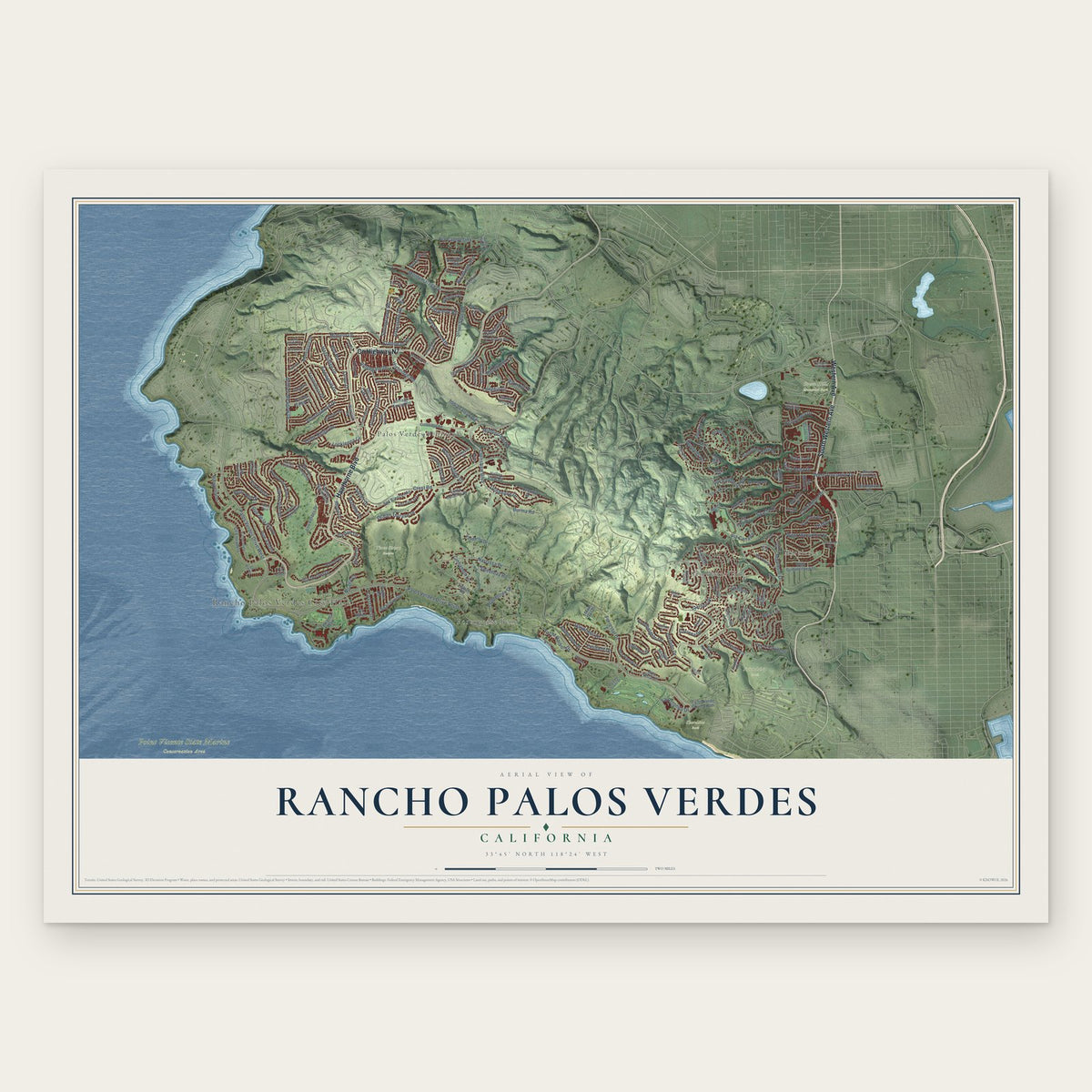
Rancho Palos Verdes, California Map Art
Building by building, with labeled streets and shaded relief.
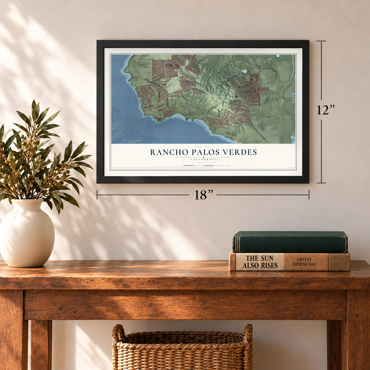
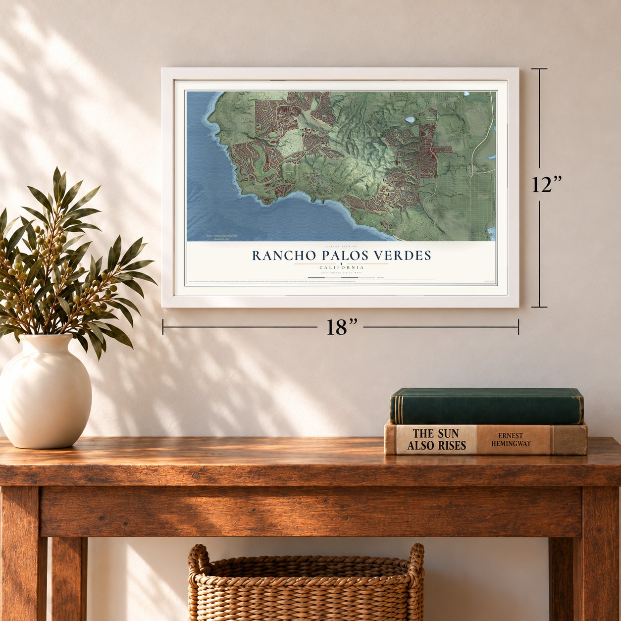
12" x 18" Archival Matte Print
A Map of Home. A Work of Art.
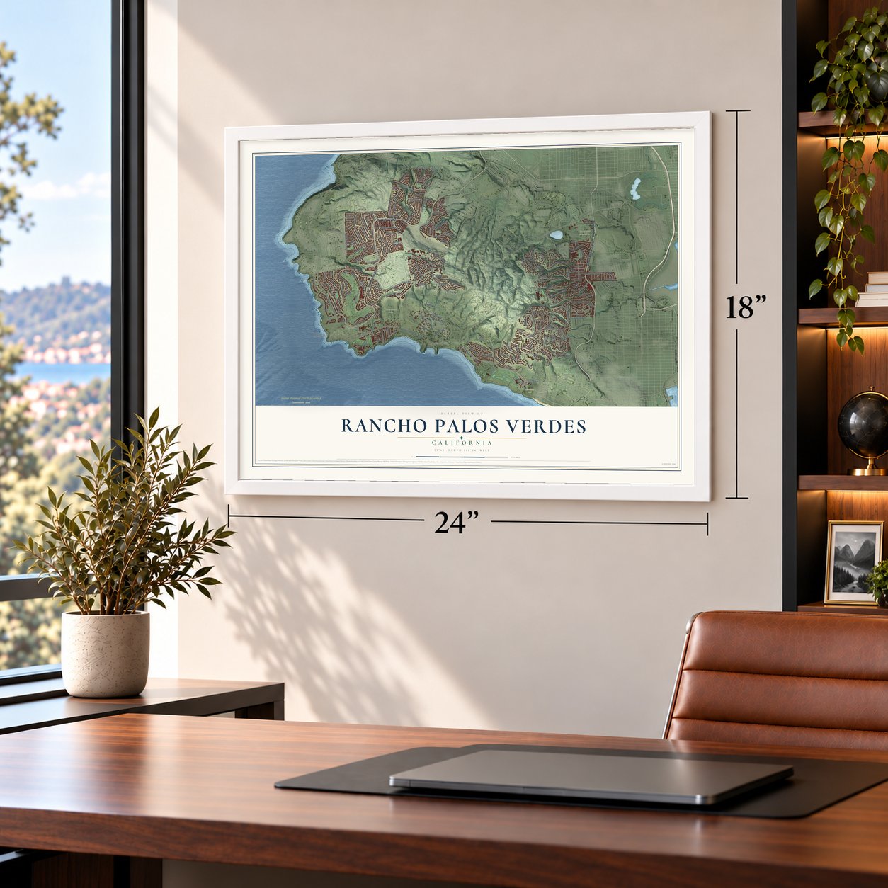
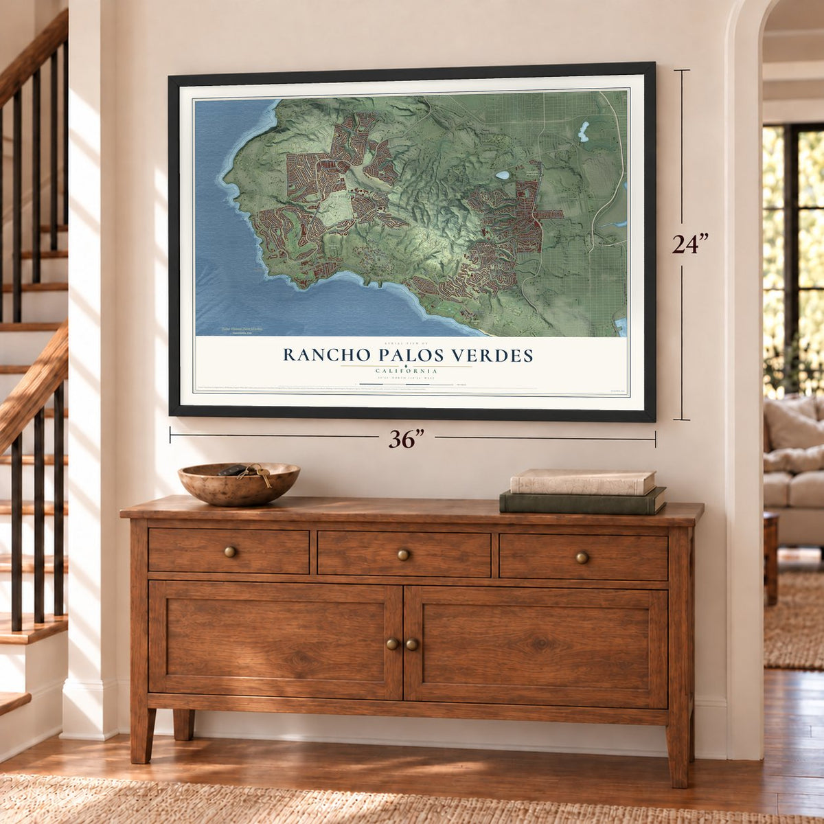
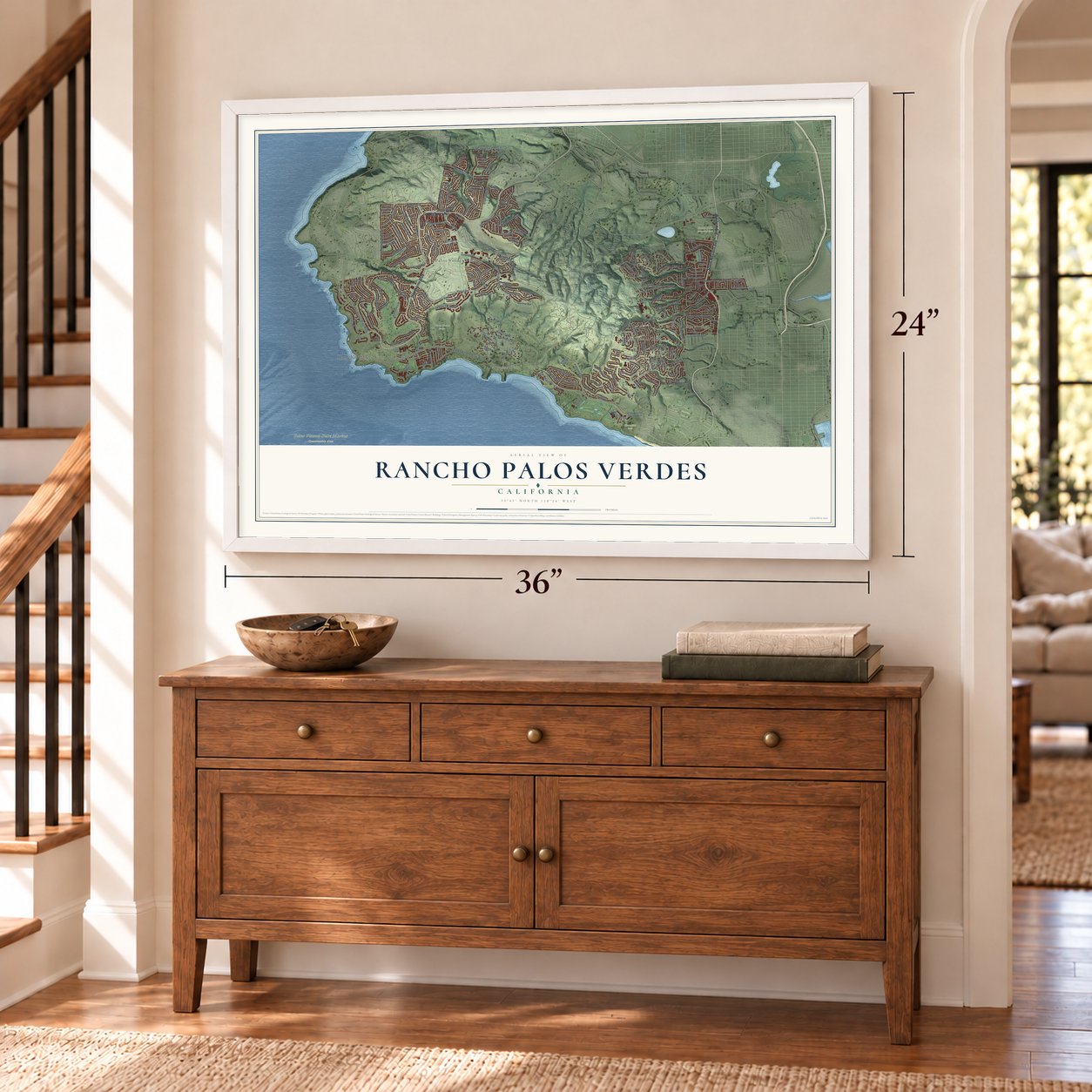
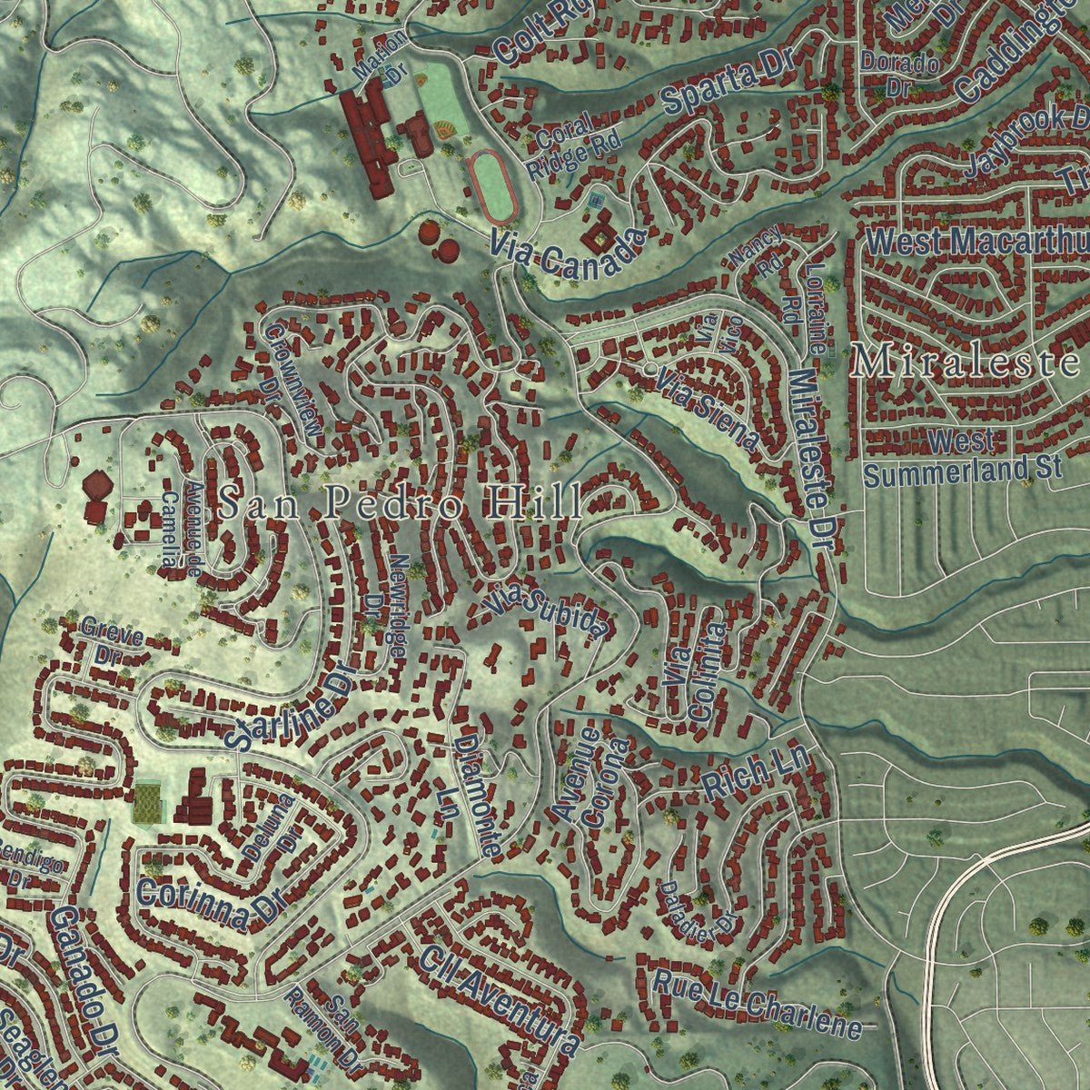
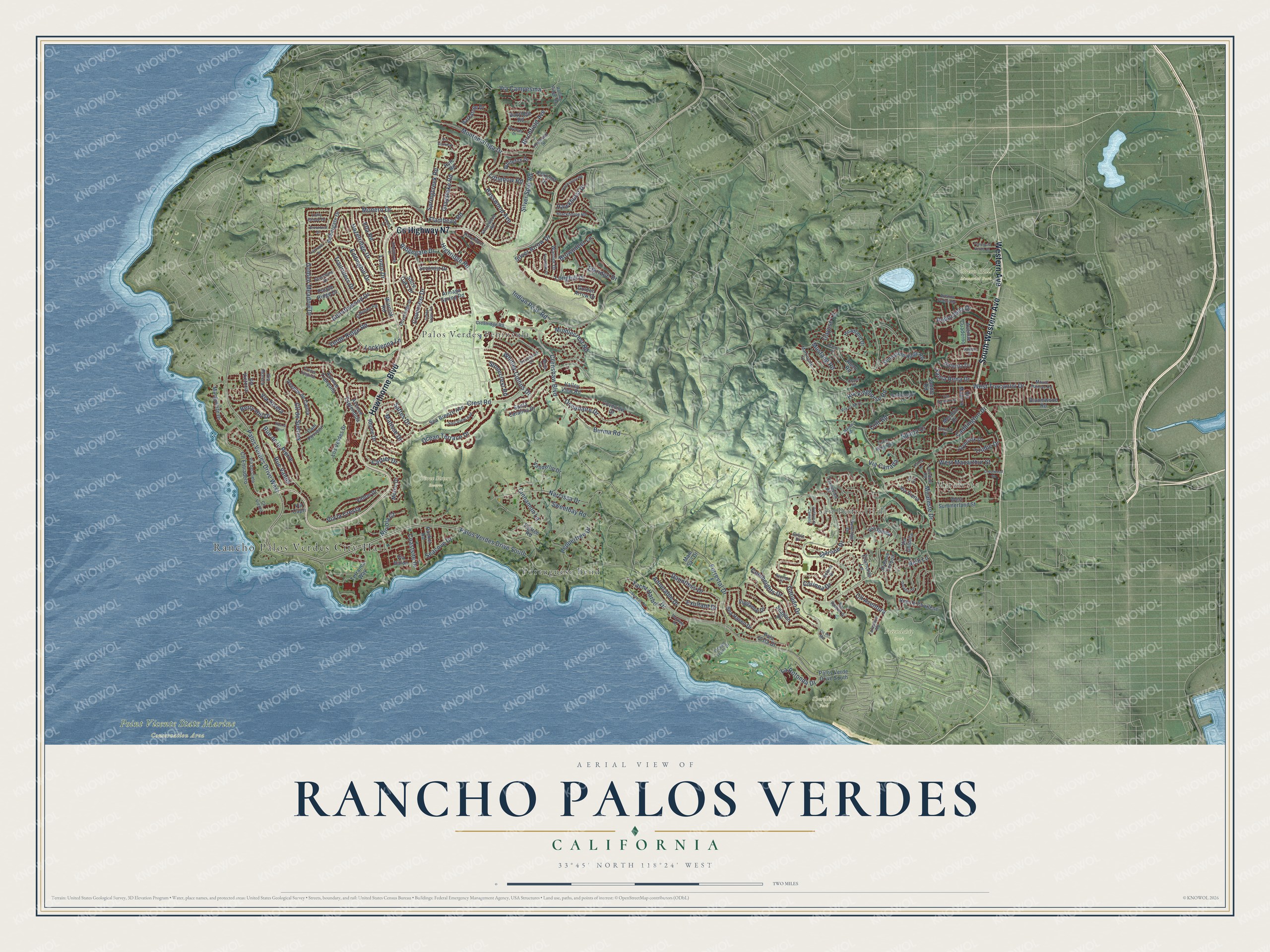
Explore Rancho Palos Verdes, California from a whole new perspective. Created using aerial imagery and detailed geographic data, this map captures Rancho Palos Verdes building by building, with labeled streets, familiar landmarks, and shaded topographical relief that highlights the natural contours of the landscape.
Combining modern data with the timeless character of a vintage atlas, this map is just as interesting up close as it is beautiful on the wall. Whether you grew up in Rancho Palos Verdes, spent memorable years there, or call it home today, this unique map is a great way to celebrate a place that means something to you. Zoom in on the preview to look for your street, and then order a print to put your memories on the wall.
Three ways to hang it
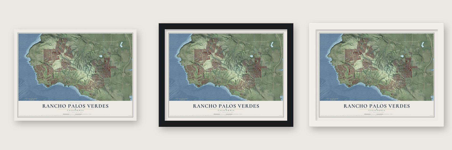
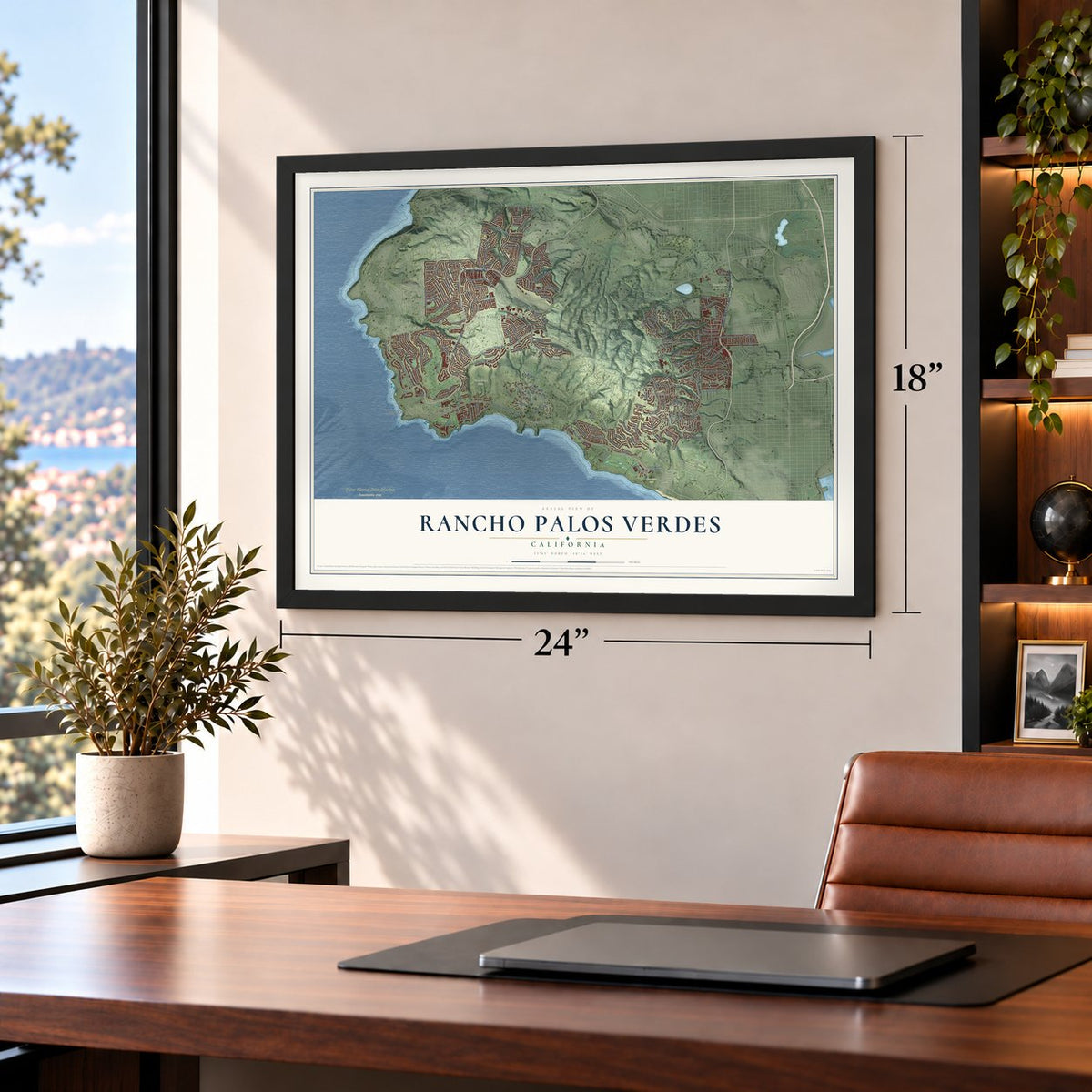
Unframed archival matte, a black wood frame or a white wood frame.
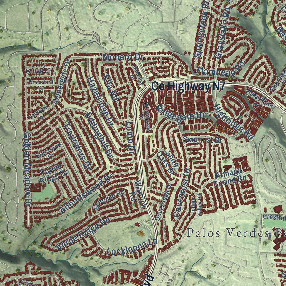
Up close
Geography Worth Displaying
This map was created using accurate cartographic data and authoritative geographic sources, including the U.S. Geological Survey and the Census Bureau. The map brings together terrain, waterways, roads, and building detail. The majority of the streets are labeled, houses are accurately depicted, and the topography is derived from government sources. Combining local data with carefully composed color and shading leads to this beautifully detailed Rancho Palos Verdes artwork for your wall.
Rather than simply showing street outlines, we’ve included as many of the street names as we could reasonably fit on the map while keeping their names legible. Zoom in on the high resolution preview to see exactly what’s on the map. We truly set out to create a statement piece for anyone who loves Rancho Palos Verdes. So whether it’s for you, or a gift for someone you love, we hope this map of Rancho Palos Verdes brings back fond memories.
Read the story behind this map of Rancho Palos Verdes, California from 2026.
Find your street
Names on the Rancho Palos Verdes map
Every name below is printed on this map. Look for your street, your school, the park where you played, or the pond down the road.
Places and landmarks10
- Rancho Palos Verdes City Hall
- Miraleste
- San Pedro Hill
- Friendship Park
- Green Hills Memorial Park
- Point Vicente State Marine Conservation Area
- Shoreline Park
- Three Sisters Reserve
- Palos Verdes Peninsula
- Portuguese Bend
Streets and roads197
- Hawthorne Boulevard
- County Highway N7
- Western Avenue
- South Western Avenue
- Palos Verdes Drive West
- Burma Road
- Crenshaw Boulevard
- Silver Spur Road
- Palos Verdes Drive South
- Narcissa Drive
- Flambeau Road
- Springcreek Road
- Crest Road
- Miraleste Drive
- Montemalaga Drive
- Ganado Drive
- Via Rivera
- Basswood Avenue
- Rockinghorse Road
- Golden Meadow Drive
- Indian Peak Road
- Grayslake Road
- Cartier Drive
- Trailriders Drive
- Browndeer Lane
- Caddington Drive
- Via Canada
- Forrestal Drive
- Longhill Drive
- Colt Road
Show all 197 streets
- West Toscanini Drive
- Monero Drive
- Yacht Harbor Drive
- Oceanaire Drive
- Ocean Terrace Drive
- Verde Ridge Road
- Whitley Collins Drive
- Abbottswood Drive
- Lomo Drive
- Covecrest Drive
- Eddinghill Drive
- Highridge Road
- Via la Cresta
- Admirable Drive
- Silver Arrow Drive
- Seacove Drive
- Dauntless Drive
- Peppertree Drive
- Hazelridge Drive
- Via Campesina
- West Macarthur Street
- Exultant Drive
- Cinnamon Lane
- Trudie Drive
- Cll de Suenos
- Coolheights Drive
- Mustang Road
- Sweetbay Road
- Redondela Drive
- Ridgegate Drive
- Rue de la Pierre
- Starline Drive
- Locklenna Lane
- Rue Valois
- Hawkhurst Drive
- Middlecrest Road
- Sattes Drive
- La Rotonda Drive
- Matisse Drive
- Corinna Drive
- Elkridge Drive
- Santa Rena Drive
- Birchfield Avenue
- Stonecrest Road
- Cll Aventura
- Sparta Drive
- Berry Hill Drive
- Coastsite Drive
- Cayuse Lane
- Ella Road
- Nuvola Court
- Littlebow Road
- Rich Lane
- Terranea Way
- Palos Verde Drive South
- Ambergate Drive
- Via Colinita
- Cll Entradero
- Los Verdes Drive
- Sunnyside Ridge Road
- Vallon Drive
- Via Victoria
- Avenue de Calma
- Vanderlip Drive
- Marne Drive
- Cam Porvenir
- Avenue Corona
- Headland Drive
- Marguerite Drive
- Via Borica
- Vigilance Drive
- Avenue Esplendida
- Rhone Drive
- Sea Breeze Avenue
- Sea Raven Drive
- Rue Le Charlene
- Diamonte Lane
- Armaga Spring Road
- West Summerland Street
- Seaglen Drive
- Warrior Drive
- Avenue Tranquila
- Jaybrook Drive
- Bayridge Road
- Valley View Road
- Via Subida
- Whitefox Drive
- Santa Catalina Drive
- Via Siena
- Galerita Drive
- Barkstone Drive
- Elkmont Drive
- Bloomwood Road
- Palo Vista Drive
- Scotmist Drive
- Shire Oaks Drive
- Purple Ridge Drive
- Coveview Drive
- Packet Road
- Golden Arrow Drive
- Avenue Cuaderno
- Figtree Road
- Saddle Road
- Via Capri
- Hyte Road
- Mendon Drive
- Warnick Road
- Via Baron
- Vis Madera
- Main Sail Drive
- Roan Road
- Ravenspur Drive
- Crestridge Road
- Crownview Drive
- Via del Cielo
- Ironwood Street
- Deluna Drive
- Shorewood Road
- Scotwood Drive
- Avenue Feliciano
- Doverridge Drive
- Blackhorse Road
- Rolling Ridge Road
- Ocean Trails Drive
- Sail View Avenue
- Dorado Drive
- El Rodeo Road
- Mela Lane
- Via el Miro
- Goldenspur Lane
- Newridge Drive
- Lorraine Road
- Tarapaca Road
- Starstone Drive
- San Ramon Drive
- Martingale Drive
- Mount Rainier Road
- Valleta Drive
- Cll Viento
- Lofty Grove Drive
- Coral Ridge Road
- Greve Drive
- Crestwood Street
- Indian Valley Road
- Daladier Drive
- Bronco Drive
- Peninsula Verde Drive
- Fawnskin Drive
- Ridgethorne Court
- Seawall Road
- Van Karajan Drive
- Rockvalley Road
- Brookford Drive
- Coach Road
- Nancy Road
- Rue la Fleur
- Diversey Drive
- Larkvale Drive
- Maritime Road
- Santona Drive
- Avenue de Camelia
- Via Sonoma
- Avenue Elegante
- Vis del Mar
- Bendigo Drive
- Marion Drive
- Via Vico
Names are listed as they appear on the printed map. Zoom into the product photos to find them.
About Rancho Palos Verdes, California
Rancho Palos Verdes is a city of 42,287 people in Los Angeles County, high on the bluffs of the Palos Verdes Peninsula. The Sepulveda family lost the land to a series of mortgage holders, and by 1882 it belonged to Jotham Bixby, owner of Rancho Los Cerritos. Bixby leased it to Japanese farmers, whose families raised beans, peas and tomatoes on the southern slopes while barley, hay and grain grew on the drier northern side.
In 1913 Frank Vanderlip, acting for a group of wealthy investors from the East Coast, bought 25 square miles of the peninsula for $1.5 million. Building boomed along the California coast in the 1970s, and the Palos Verdes Bay Club on the shore and new apartment complexes inland alarmed people here. To keep control of growth, residents chose cityhood, and Rancho Palos Verdes was incorporated on September 7, 1973. The city has held to strict zoning rules ever since.
“Some 80% of the registered voters went to the polls and voted by a margin of 5 to 1 for cityhood. The name Rancho Palos Verdes was approved and 5 candidates out of a field of 24 challengers were elected to the first City Council.”
- A chapel above the PacificLloyd Wright designed Wayfarers Chapel for the Swedenborgian Church of North America, and it rose on the cliffs from 1949 to 1951 as a memorial to Emanuel Swedenborg. Shifting ground closed it in February 2024, and that May crews began a $20 million plan to take it apart and store it. The city is seeking a four-acre former World War II coastal defense site a mile and a half away, where the chapel will rise again.
- The Portuguese Bend landslidePortuguese Bend has been sliding for 250,000 years across 260 acres. After a FEMA grant of more than $23 million in 2023, the movement sped up. Gas was cut to 135 homes in July 2024, and on September 2, 2024, Governor Gavin Newsom declared a state of emergency as power went off to 245 homes. The city drilled dozens of dewatering wells, the land slowed by February 2025, and by May 2025 most homes had gas again.
- A nature preserve in 2009In 2009 the city and the Palos Verdes Peninsula Land Conservancy bought 2 square miles of Portuguese Bend, the peninsula's largest stretch of natural plants. The land became the Palos Verdes Nature Preserve, the biggest piece of protected coastal open space between Santa Barbara and San Diego.
- Vanderlip's peacocksFrank Vanderlip, called the Father of Palos Verdes, is credited with bringing peafowl to the peninsula around 1910. Their descendants still roam the city in such numbers that it has had to find ways to manage them.
Keep exploring California
Rancho Palos Verdes is one of 1,990 California towns we've mapped. Every dot on the map is a print of its own.
The search covers every state, California first.
Near Rancho Palos Verdes
Order 2 or more town maps and save 10%. Shown in the size and finish you picked above, so they hang as a set.
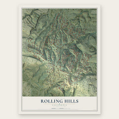
- Rolling Hills 12" x 18" / Archival Matte Print $39.99
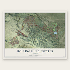
- Rolling Hills Estates 12" x 18" / Archival Matte Print $39.99
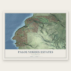
- Palos Verdes Estates 12" x 18" / Archival Matte Print $39.99
More maps nearby: Lomita, San Pedro, Harbor City, Torrance and Avalon.
The art of mapping a place
How This Map Was Made
Real places. Remarkable detail. Discover the layers that turn geographic data into a map of home.

The view from above
Aerial imagery reveals the character of the land: woodland, open fields, and the patterns of a place.

The shape of the land
Elevation data brings hills, valleys, and subtle changes in the landscape into view.

The details of home
Roads, waterways, and building footprints come together to make the map feel unmistakably local.

Geography becomes art
Considered color, shading, and typography bring the layers together in a map made for your wall.


Process illustrated with Mendon, Massachusetts. Aerial imagery: USDA NAIP. Terrain: USGS 3D Elevation Program. Map details and finished artwork: KNOWOL.
The Details
About This Print
Choose an archival matte print, or a black or white Ayous wood frame. The archival matte print is unframed.
Select your size and finish above to see the matching product image and price.
Materials & Craftsmanship
A contemporary map with the character of a classic atlas, printed on archival matte paper. Optional frames are made from Ayous wood.
Your printed map does not include the watermark shown in the full-map preview.
Shipping & Delivery
Free shipping within the United States. Every print is made to order in the USA.
Buying a gift? Add a note in your cart and we'll include it. We never put prices in the package.
Prints ship within 2 to 3 business days. Allow 7 to 10 days total from ordering for delivery. Timing may vary during holidays or periods of high order volume.
Read our shipping policy.
Returns and damaged prints
Each print is made to order. Change-of-mind refunds are not available after production.
If your print arrives damaged, misprinted or incorrect, contact support@knowol.com within 30 days of receiving it. Include your order number, photos and a description of the issue.
Read our full refund and replacement policy. For questions about your order, email support@knowol.com.