
Search for another town

Free U.S. delivery 7 to 10 days after you order
Marana, Arizona Map Art
Building by building, with labeled streets and shaded relief.
12" x 18" Archival Matte Print
A Map of Home. A Work of Art.
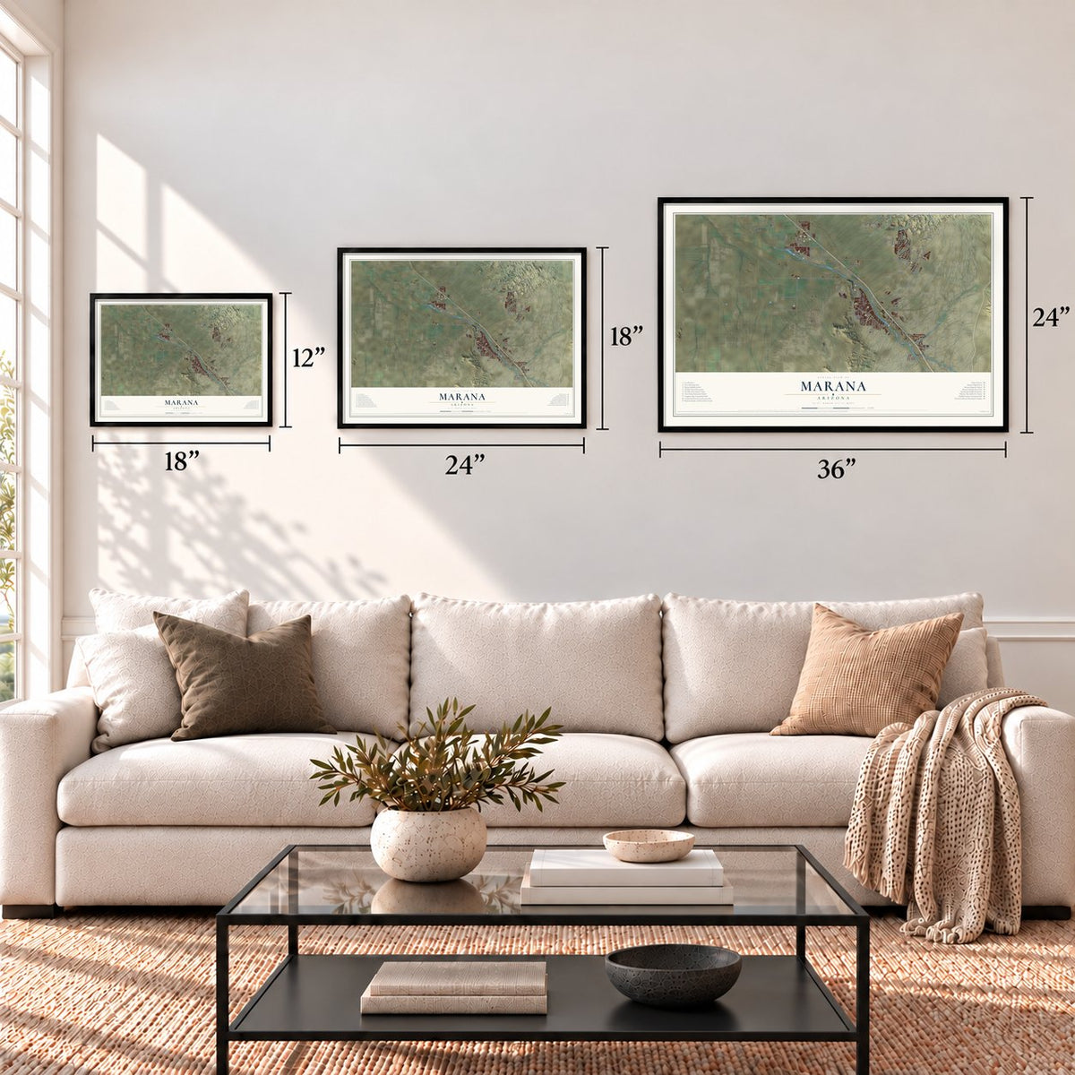
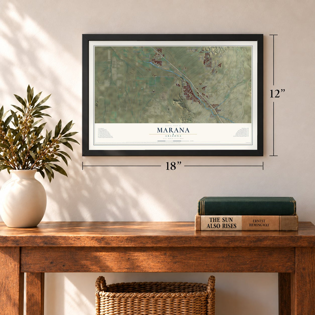
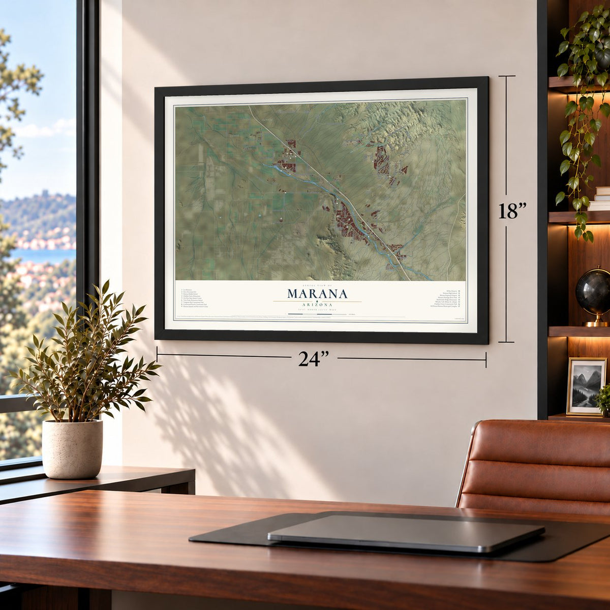
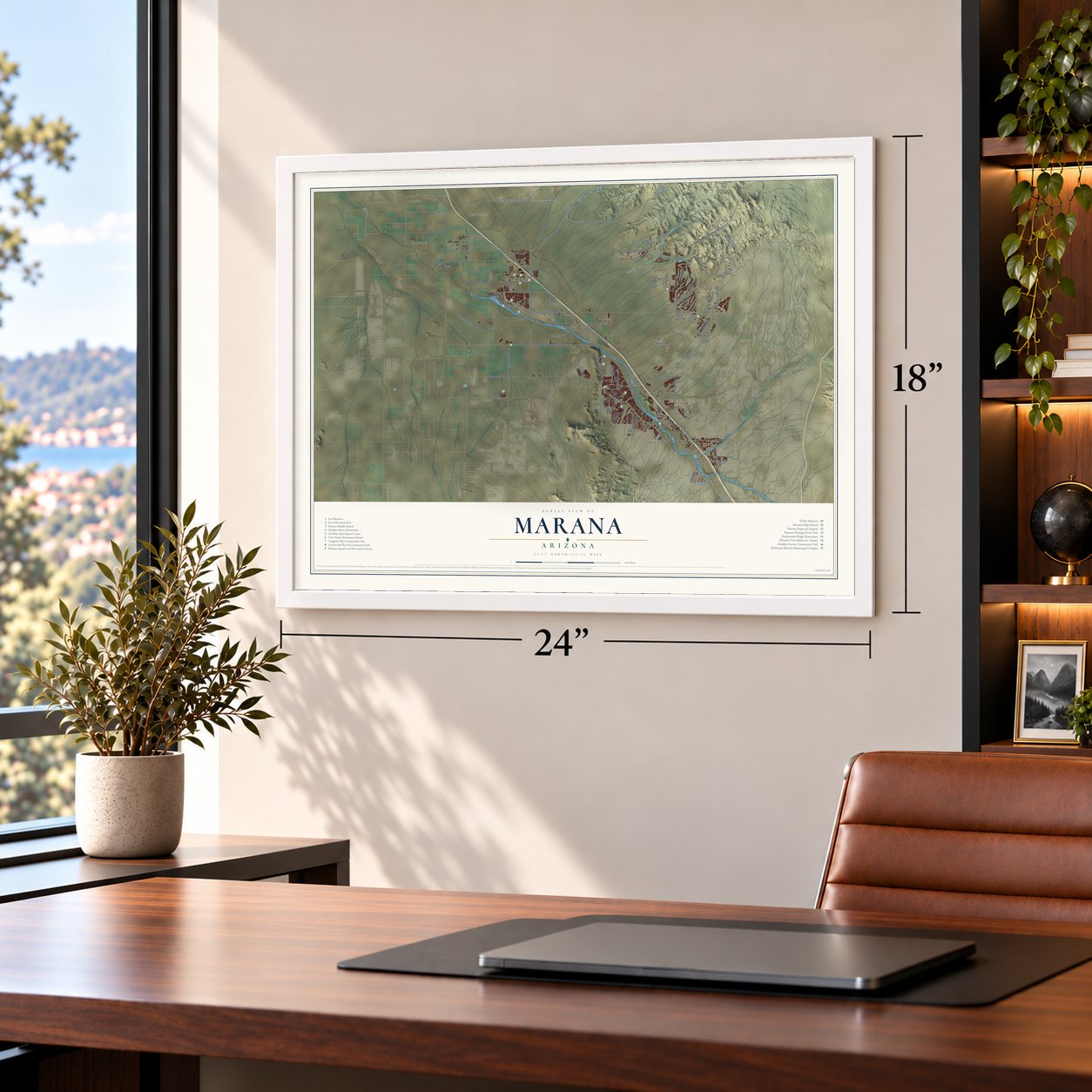
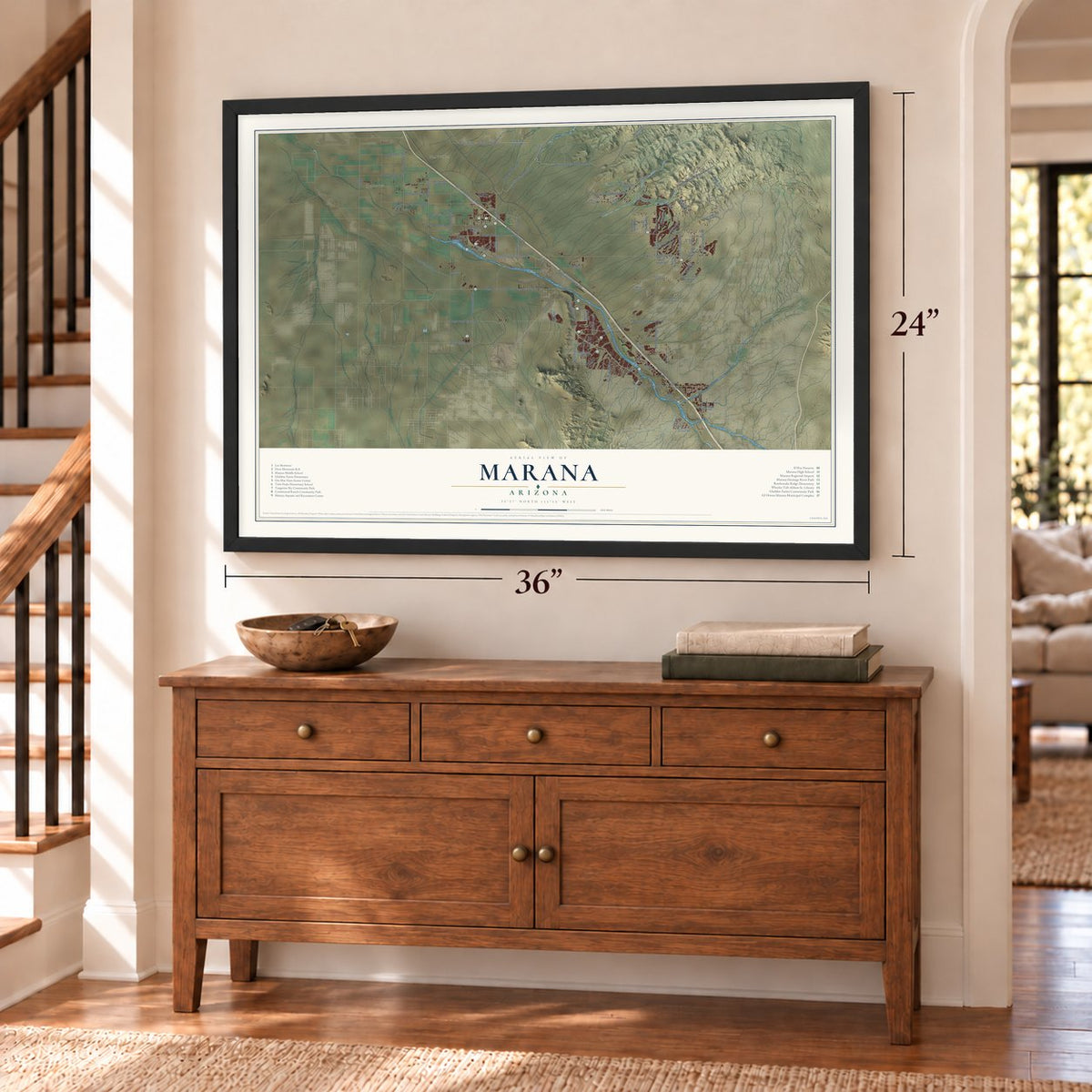
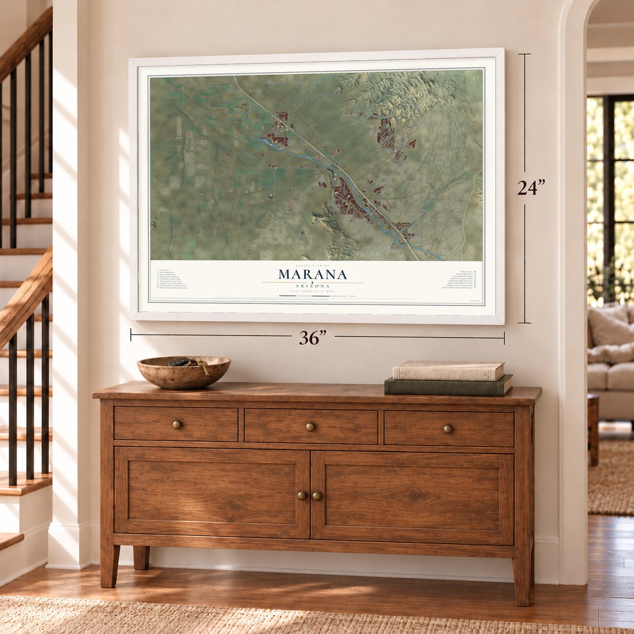
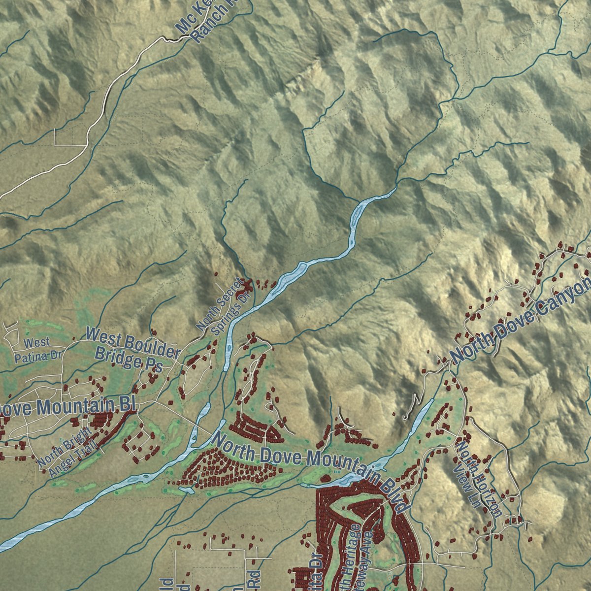
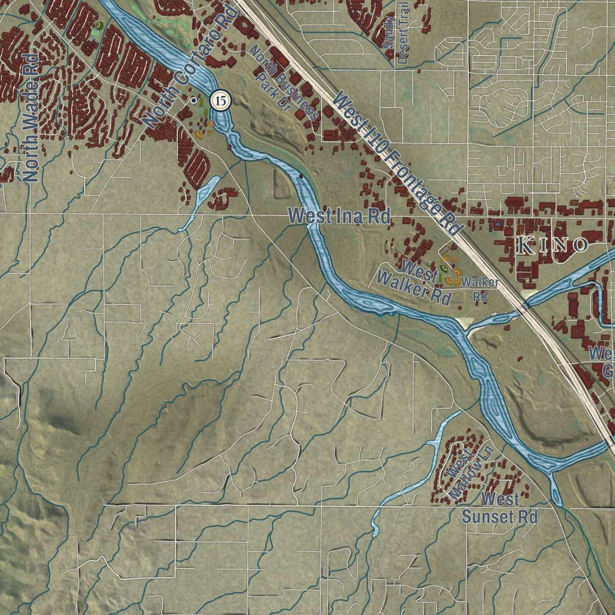
Explore Marana, Arizona from a whole new perspective. Created using aerial imagery and detailed geographic data, this map captures Marana building by building, with labeled streets, familiar landmarks, and shaded topographical relief that highlights the natural contours of the landscape.
Combining modern data with the timeless character of a vintage atlas, this map is just as interesting up close as it is beautiful on the wall. Whether you grew up in Marana, spent memorable years there, or call it home today, this unique map is a great way to celebrate a place that means something to you. Zoom in on the preview to look for your street, and then order a print to put your memories on the wall.

Three ways to hang it
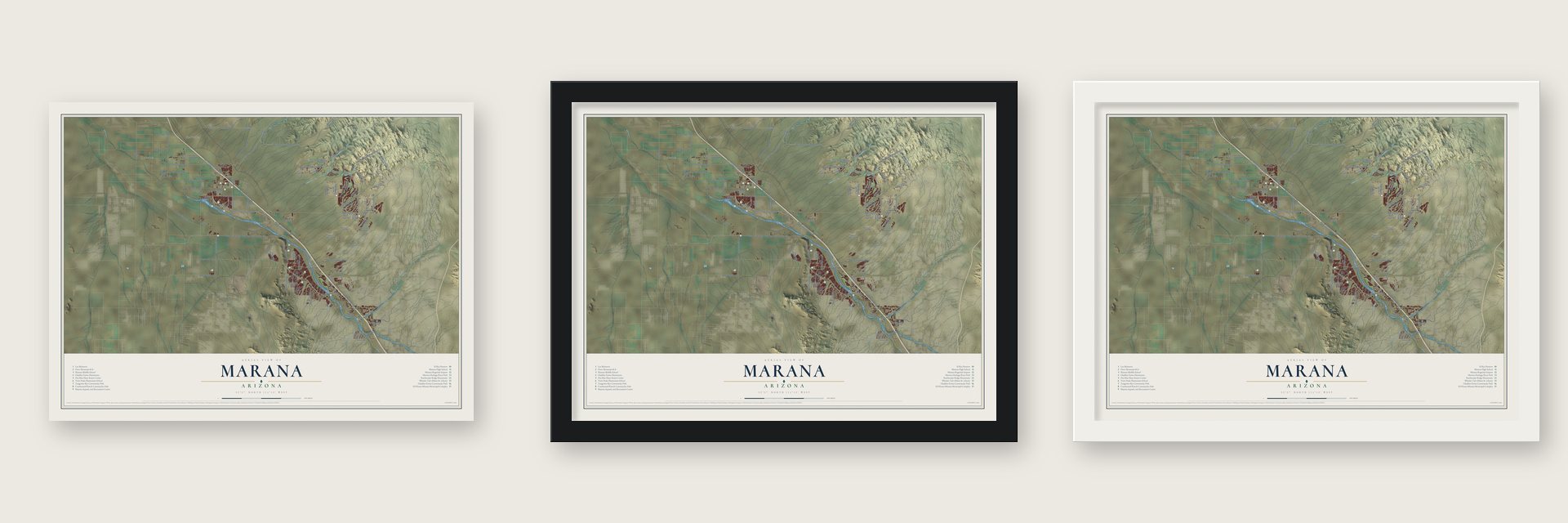
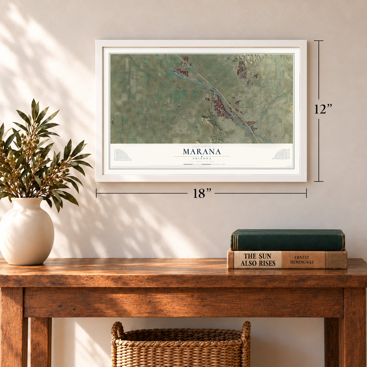
Unframed archival matte, a black wood frame or a white wood frame.
Up close
Geography Worth Displaying
This map was created using accurate cartographic data and authoritative geographic sources, including the U.S. Geological Survey (USGS) and FEMA. The map brings together terrain, waterways, roads, and building detail. The majority of the streets are labeled, houses are accurately depicted, and the topography is derived from government sources. Combining local data with carefully composed color and shading leads to this beautifully detailed Marana artwork for your wall.
Rather than simply showing street outlines, we’ve included as many of the street names as we could reasonably fit on the map while keeping their names legible. Zoom in on the high resolution preview to see exactly what’s on the map. We truly set out to create a statement piece for anyone who loves Marana. So whether it’s for you, or a gift for someone you love, we hope this map of Marana brings back fond memories.
Explore the full map of Marana, Arizona and read about the local places it shows.
Find your street
Names on the Marana map
Every name below is printed on this map. Look for your street, your school, the park where you played, or the pond down the road.
Places and landmarks6
- Marana
- Kino
- Cortaro
- Dobson
- Naviska
- Rillito
Streets and roads102
- North Casa Grande Highway
- North Frontage Road
- North Tangerine Farms Road
- West Cochie Canyon Trail
- Cochise Canyon Trail
- West Tangerine Road
- West Marana Road
- North I10 Frontage Road
- West Twin Peaks Road
- North Silverbell Road
- West I10 Frontage Road
- West Avra Valley Road
- West Arra Valley Road
- North Sanders Road
- West Moore Road
- West Grier Road
- North Thornydale Road
- North Sandario Road
- North Wentz Road
- West Hardin Road
- West Barnett Road
- West Ina Road
- North Luckett Road
- North Dove Mountain Boulevard
- Grand Alley Road
- North Dove Canyon Pass
- Owl Head Ranch Road
- North Dove Mountain Bl
- West Linda Vista Boulevard
- West Silverbell Road
Show all 102 streets
- North Hartman Lane
- North Scenic Drive
- North Cortaro Road
- North Wade Road
- Pima Pinal
- West Emigh Road
- Hardin Road
- Quarry Road
- Patton Road
- Carpenter Ranch Road
- Mc Kenzie Ranch Road
- North Cam de Oeste
- North Postvale Road
- East Grand Valley Drive
- West Sagebrush Road
- North Coachline Boulevard
- West Cam de Manana
- Saguaro Peaks Boulevard
- West Kirby Hughes Road
- Twin Peaks Road
- North Sandra Road
- West Pima Farms Road
- North Tortolita Estates Drive
- West Boulder Bridge Ps
- West Cam del Norte
- Dove Mountan Boulevard
- North Tortolita Drive
- North Patton Road
- North Joplin Lane
- West Orange Grove Road
- North Wild Burro Road
- North Fallen Shadows Drive
- West Clark Farms Bl
- North Adobe Village Place
- West Sunset Road
- West Walker Road
- West Swanson Street
- North High Hawk Drive
- West Potvin Lane
- North Trico Road
- North Migitty Lane
- Post Vale Road
- West Angel Drive
- Valles Lane
- West Linda Lane
- North La Entrada
- North Old Ranch House Road
- West Lambert Lane
- North Heritage Gateway Avenue
- North Business Park Drive
- West Benta Vista Street
- North Horizon View Lane
- North Silver Moon Way
- West Mallow Lane
- West Stone Hearth Street
- North Iron Ridge Drive
- Calmat Drive
- North Lon Adams Road
- Cam Horizante
- North Oldfather Road
- North Secret Springs Drive
- North Moonfire Drive
- North Bright Angel Trail
- West Oilseed Drive
- Sandy Desert Trail
- West Desert Falcon Lane
- West Buckeye Ph
- West Adonis Road
- West Wong Way
- West Patina Drive
- Walker Road
- Berry Street
Names are listed as they appear on the printed map. Zoom into the product photos to find them.
About Marana, Arizona
Marana is a town of 51,908 people northwest of Tucson, most of it in Pima County and a small part in Pinal County. Railroad workers in the 19th century had to cut their line through this ground, so they called the place maraña, Spanish for thicket. The settlement later went by Postvale, until the Postvale Co-operative Women's Club pushed to rename its post office Marana, and the town took the name as well. Orpha Ralston, who married the settler William Anway in 1920, was a longtime member of that club.
Farming took hold after World War I, with fields of cotton, wheat, barley, alfalfa and pecans. Marana incorporated in March 1977, covering about 10 square miles, and that August its 1,500 residents chose their first town council. Starting in early 1979 the town grew by annexing land on purpose, and it now spans a little more than 120 square miles.
- Canals 4,200 years oldLas Capas, an early farming village near where Ina Road now meets Interstate 10, was home to people from 4,200 to 2,500 years ago. Its farmers dug the earliest canals known in North America, and they buried their dead in the earliest cemetery yet found in the American Southwest. The world's oldest tobacco pipes also turned up there.
- Anza's camp in 1775Juan Bautista de Anza, commander of the presidio at Tubac, left in 1775 for San Francisco with about 200 people, among them 30 soldiers and their families, and over 1,000 head of livestock. Following the Santa Cruz River north, they most likely camped at Los Morteros, a Hohokam village with a ballcourt near the Point of the Mountain. A 15-mile stretch of their route through Marana is now part of the national historic trail named for Anza.
- 10,000 wartime pilotsDuring World War II the Army built Marana Airfield, which opened in 1942. It grew into the world's largest pilot-training center and turned out some 10,000 flyers. The field is now Pinal Airpark, just north of town, where many commercial airlines send their planes for storage.
- The strip annexation fightIn 1992 the Marana Town Council annexed a narrow corridor of Pima County land along Interstate 10, Ina Road and Thornydale Road. The strip was lined with shopping centers and big box stores, and the town wanted their sales taxes without taking on the homes behind them. Tucson sued, but on April 4, 1994, Judge Lina Rodriguez ruled for Marana. Arizona then changed its laws, and strip annexation is no longer allowed.
- Tiger Woods won here in 2008The PGA Tour's WGC Match Play Championship came to Marana in 2007 and was played at the Ritz-Carlton Golf Club in Dove Mountain, on a course designed by Jack Nicklaus. The first winner was Henrik Stenson, and Tiger Woods won in 2008, followed by Geoff Ogilvy, Ian Poulter and Luke Donald. The tournament stayed through 2014, then moved to San Francisco's TPC Harding Park.
Keep exploring Arizona
Marana is one of 528 Arizona towns we've mapped. Every dot on the map is a print of its own.
The search covers every state, Arizona first.
Near Marana
Order 2 or more town maps and save 10%. Shown in the size and finish you picked above, so they hang as a set.
- Rillito 12" x 18" / Archival Matte Print $39.99
- Tortolita 12" x 18" / Archival Matte Print $39.99
- Nelson 12" x 18" / Archival Matte Print $39.99
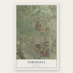

More maps nearby: Oro Valley, Casas Adobes, Picture Rocks, Avra Valley and Tucson Mountains.
The art of mapping a place
How This Map Was Made
Real places. Remarkable detail. Discover the layers that turn geographic data into a map of home.

The view from above
Aerial imagery reveals the character of the land: woodland, open fields, and the patterns of a place.

The shape of the land
Elevation data brings hills, valleys, and subtle changes in the landscape into view.

The details of home
Roads, waterways, and building footprints come together to make the map feel unmistakably local.

Geography becomes art
Considered color, shading, and typography bring the layers together in a map made for your wall.


Process illustrated with Mendon, Massachusetts. Aerial imagery: USDA NAIP. Terrain: USGS 3D Elevation Program. Map details and finished artwork: KNOWOL.
The Details
About This Print
Choose an archival matte print, or a black or white Ayous wood frame. The archival matte print is unframed.
Select your size and finish above to see the matching product image and price.
Materials & Craftsmanship
A contemporary map with the character of a classic atlas, printed on archival matte paper. Optional frames are made from Ayous wood.
Your printed map does not include the watermark shown in the full-map preview.
Shipping & Delivery
Free shipping within the United States. Every print is made to order in the USA.
Buying a gift? Add a note in your cart and we'll include it. We never put prices in the package.
Prints ship within 2 to 3 business days. Allow 7 to 10 days total from ordering for delivery. Timing may vary during holidays or periods of high order volume.
Read our shipping policy.
Returns and damaged prints
Each print is made to order. Change-of-mind refunds are not available after production.
If your print arrives damaged, misprinted or incorrect, contact support@knowol.com within 30 days of receiving it. Include your order number, photos and a description of the issue.
Read our full refund and replacement policy. For questions about your order, email support@knowol.com.