
Search for another town


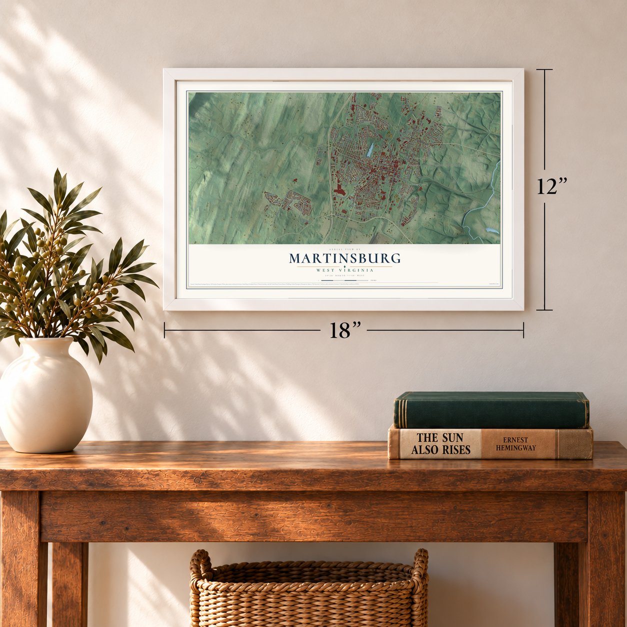

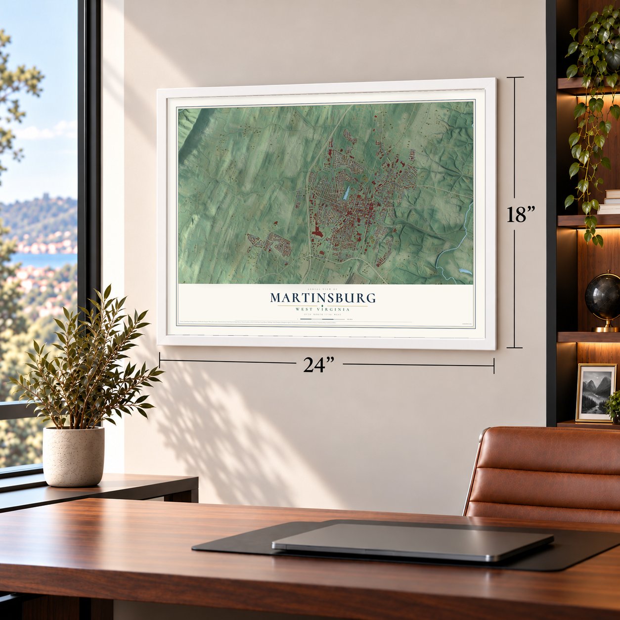
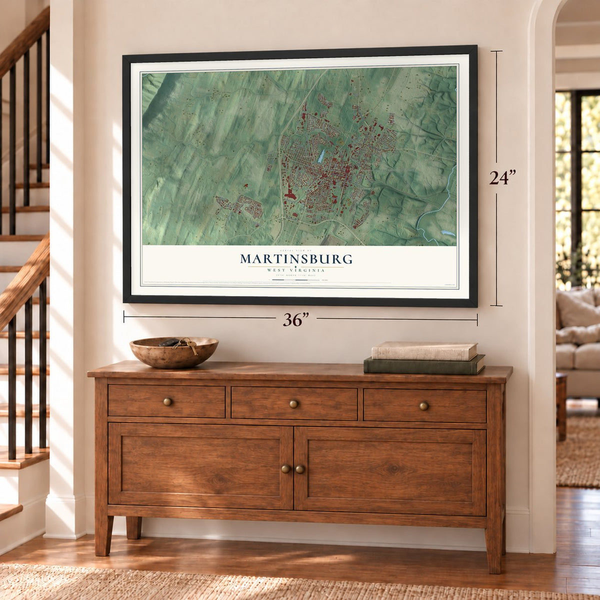
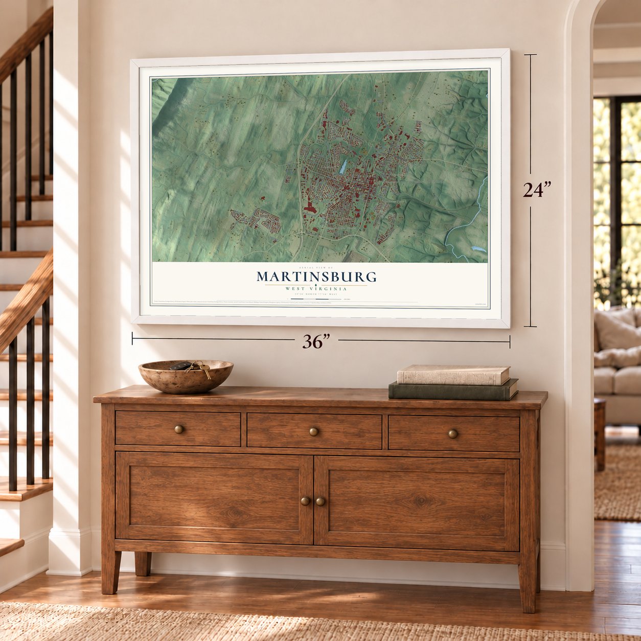

Free U.S. delivery 7 to 10 days after you order
Martinsburg, West Virginia Map Art
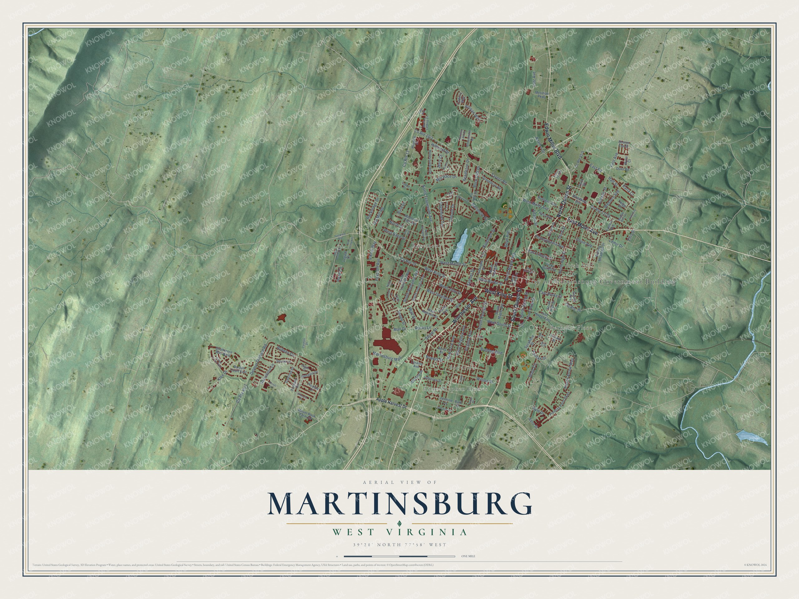
A new map of Martinsburg, West Virginia, made in 2026 and printed to order on thick archival matte paper.
12" x 18" Archival Matte Print
A Map of Home. A Work of Art.
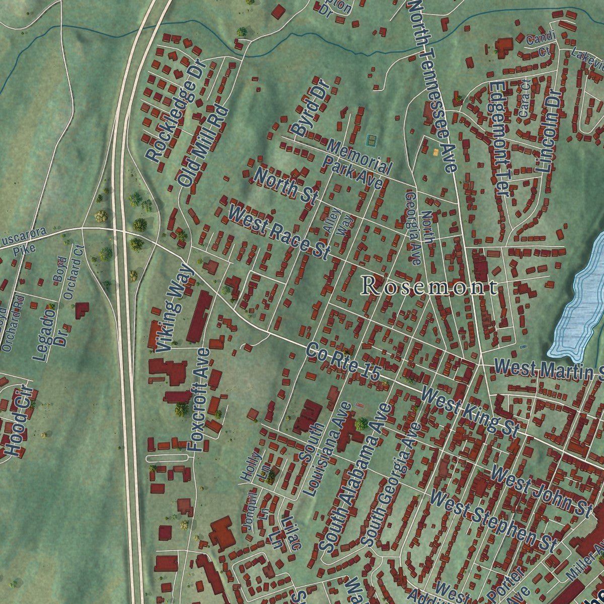
Explore Martinsburg, West Virginia from a whole new perspective. Created using aerial imagery and detailed geographic data, this map captures Martinsburg building by building, with labeled streets, familiar landmarks, and shaded topographical relief that highlights the natural contours of the landscape.
Combining modern data with the timeless character of a vintage atlas, this map is just as interesting up close as it is beautiful on the wall. Whether you grew up in Martinsburg, spent memorable years there, or call it home today, this unique map is a great way to celebrate a place that means something to you. Zoom in on the preview to look for your street, and then order a print to put your memories on the wall.
Three ways to hang it
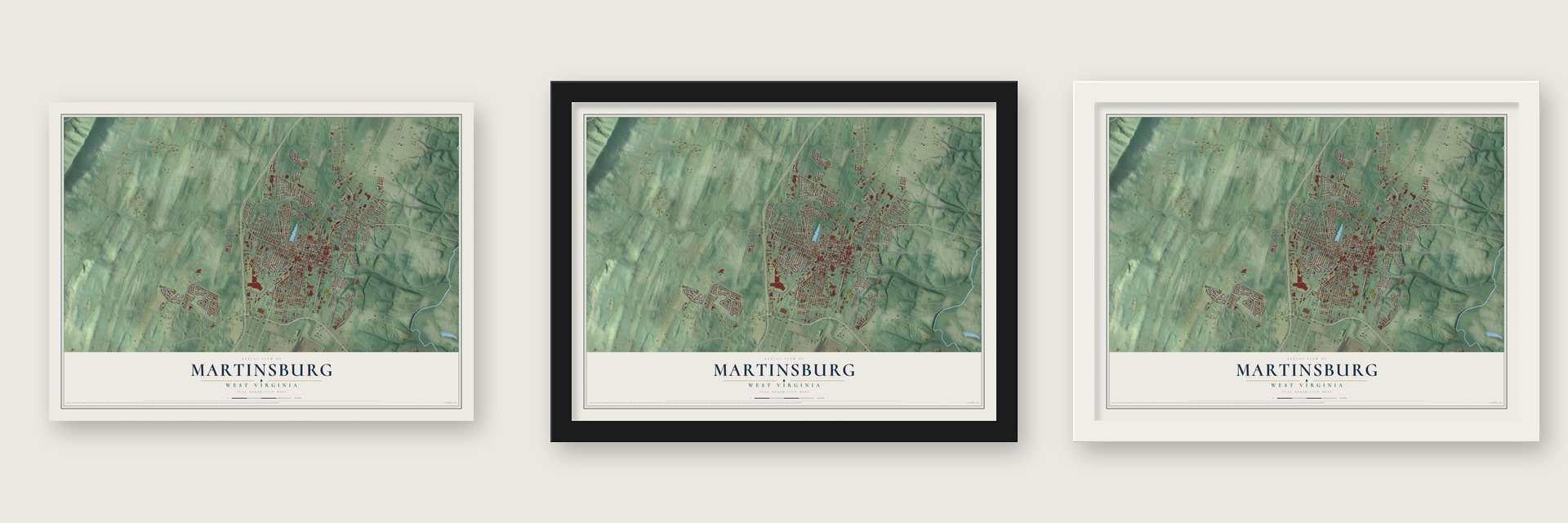
Unframed archival matte, a black wood frame or a white wood frame.
Up close
Geography Worth Displaying
This map was created using accurate cartographic data and authoritative geographic sources, including the U.S. Geological Survey and the Census Bureau. The map brings together terrain, waterways, roads, and building detail. The majority of the streets are labeled, houses are accurately depicted, and the topography is derived from government sources. Combining local data with carefully composed color and shading leads to this beautifully detailed Martinsburg artwork for your wall.
Rather than simply showing street outlines, we’ve included as many of the street names as we could reasonably fit on the map while keeping their names legible. Zoom in on the high resolution preview to see exactly what’s on the map. We truly set out to create a statement piece for anyone who loves Martinsburg. So whether it’s for you, or a gift for someone you love, we hope this map of Martinsburg brings back fond memories.
Read the story behind this map of Martinsburg, West Virginia from 2026.

About Martinsburg, West Virginia
Martinsburg is a city of 18,777 people and the county seat of Berkeley County, in West Virginia's eastern panhandle. Major General Adam Stephen founded it on Tuscarora Creek, at the entrance to the Shenandoah Valley, and the Virginia General Assembly made it official in December 1778, in the middle of the Revolutionary War. Stephen named it for Colonel Thomas Bryan Martin, a nephew of Lord Fairfax.
The Baltimore and Ohio Railroad arrived in 1842 and built its Martinsburg Shops in 1848, and the town grew into a railroad center. The shops were rebuilt after the Civil War, and the new West Virginia Legislature made Martinsburg a city on March 30, 1868. On July 14, 1877, B&O workers at the shops started the Great Railroad Strike. Governor Henry M. Mathews failed several times to end it and called in federal troops, but by the time they restored order the strike had reached every part of the country.
- Belle Boyd's Civil WarBelle Boyd moved here in 1853, and her father Benjamin ran a general store in town. After Union troops under General Robert Patterson took Martinsburg, his men tried to fly a Union flag over the Boyd home. Belle's mother Mary refused, and when a soldier threatened her, Belle shot him. She was acquitted. She went on to spy for Stonewall Jackson and Jeb Stuart until the Union Army arrested her in Martinsburg in 1863 and sent her to prison.
- Christmas night, 1856On Christmas night in 1856, Robert Brown, who also used the name Thomas Jones, fled slavery in Martinsburg on horseback. His horse swam the icy Potomac, and after forty miles he walked two days in wet clothes to Harrisburg. The Underground Railroad put him on a train to William Still in Philadelphia. Slaveholders had sold his wife and four children, and he carried her likeness and their locks of hair, hoping to find them.
- Hack Wilson's hometownHall of Famer Hack Wilson started his professional career with the Martinsburg Blue Sox. In 1930 he drove in 191 runs for the Chicago Cubs, a major league record that still stands. When his playing days ended in 1935 he came back, played for the town's semipro team and opened a pool hall. He died in Baltimore on November 23, 1948, and was buried in Martinsburg in a donated plot.
- Aspen Hall, about 1776Edward Beeson II built Aspen Hall, a Georgian mansion, in about 1776, and it ranks among the oldest houses in the city. Events tied to the Revolution, the Civil War and the French and Indian War happened on its grounds. Three of its first buildings survive, one of them the rare blockhouse of Mendenhall's Fort, and the house joined the National Register in 1980.
Find your street
Names on the Martinsburg map
Every name below is printed on this map. Look for your street, your school, the park where you played, or the pond down the road.
Places and landmarks6
- City of Martinsburg Government Building
- Adam Stephen Homes
- Boydville
- Berkeley Place
- Irish Hill
- Rosemont
Streets and roads163
- Winchester Avenue
- North Queen Street
- East Moler Avenue
- South Queen Street
- Edwin Miller Boulevard
- West King Street
- North Tennessee Avenue
- County Route 15
- Tavern Road
- West Burke Street
- Third Street
- East Burke Street
- County Route 13
- West Martin Street
- West Moler Avenue
- Pennsylvania Avenue
- Adam's Drive
- First Avenue
- Baltimore Street
- South Raleigh Street
- Rock Cliff Drive
- Hillcrest Drive
- West Race Street
- Mall Drive
- Rocky Lane
- Boyd Avenue
- South Alabama Avenue
- County Route 36
- Snapp Street
- Wall Street
Show all 163 streets
- Delmar Orchard Road
- Klee Drive
- Foxcroft Avenue
- Rubens Circle
- Martinsburg Mall
- West Stephen Street
- North High Street
- West John Street
- New York Avenue
- Virginia Avenue
- West Virginia Avenue
- Wilson Street
- Old Mill Road
- North Street
- West South Street
- Bowers Street
- Artisan Way
- Western Avenue
- Union Avenue
- Fairfax Street
- Gainsboro Lane
- East Road
- North Maple Avenue
- South Spring Street
- Lincoln Drive
- Hood Circle
- State Circle
- Mill Race Drive
- Pierce Arrow Way
- Athletic Street
- Randolph Street
- East Liberty Street
- Pendleton Drive
- Jerry Court
- Rockledge Drive
- Lutz Avenue
- Edgemont Terrace
- Bulldog Boulevard
- Adams Street
- Viking Way
- Alonzo Drive
- Lemir Drive
- Ellis Street
- Samuel Street
- Stone Street
- Karla Court
- Aero Street
- Half Street
- Byrd Drive
- Kyle Drive
- Apple Harvest Drive
- North Raleigh Street
- West Addition Street
- South Water Street
- Park Street
- Duke Road
- Boston Tea Street
- County Route 10
- Woodbury Avenue
- South Georgia Avenue
- Prentiss Point Parkway
- South Maple Avenue
- John Street East
- Porter Avenue
- Jefferson Street
- Berry Street
- South Louisiana Avenue
- Vicky Bullett Street
- Memorial Park Avenue
- Honeysuckle Drive
- Greenbriar Road
- Orchard Street
- Gloucester Drive
- Strathmore Way West
- Gussie Avenue
- Mount Rock Farm Road
- Twigg Drive
- Fontana Circle
- Rothwell Avenue
- Rolling Meadows Drive
- Tuskegee Drive
- Hess Avenue
- Seurat Lane
- Second Street
- Jasmine Lane
- Daintree Drive
- South High Street
- Sycamore Street
- Gauguin Drive
- Darden Court East
- Hospital Drive
- Meridian Parkway
- Picasso Court
- Eastern Avenue
- Myna Court
- Trader's Way
- Loraine Avenue
- Legado Drive
- Lilac Lane
- North Georgia Avenue
- Martins Landing Circle
- East Race Street
- Miller Avenue
- Bumble Bee Lane
- North College Street
- Texas Street
- Oak Street
- Lupton Drive
- Autumn Leaf Drive
- Degas Court
- Cashlin Drive
- Holly Lane
- Elm Street
- Tuscarora Pike
- Water Street
- Alley Way
- Auburn Street
- Fairlawn Gardens
- Bertelli Court
- Station Terrace West
- Silver Lane
- Lakeview Drive
- Boyd Orchard Road
- Sheridan Avenue
- Boyd Orchard Court
- Oflannery Court
- Vicksburg Court
- Jonquil Lane
- Hickory Court
- Cara Court
- Daniel Street
- Candi Court
- Arbor Way
Names are listed as they appear on the printed map. Zoom into the product photos to find them.
The art of mapping a place
How This Map Was Made
Real places. Remarkable detail. Discover the layers that turn geographic data into a map of home.

The view from above
Aerial imagery reveals the character of the land: woodland, open fields, and the patterns of a place.

The shape of the land
Elevation data brings hills, valleys, and subtle changes in the landscape into view.

The details of home
Roads, waterways, and building footprints come together to make the map feel unmistakably local.

Geography becomes art
Considered color, shading, and typography bring the layers together in a map made for your wall.


Process illustrated with Mendon, Massachusetts. Aerial imagery: USDA NAIP. Terrain: USGS 3D Elevation Program. Map details and finished artwork: KNOWOL.
The Details
About This Print
Choose an archival matte print, or a black or white Ayous wood frame. The archival matte print is unframed.
Select your size and finish above to see the matching product image and price.
Materials & Craftsmanship
A contemporary map with the character of a classic atlas, printed on archival matte paper. Optional frames are made from Ayous wood.
Your printed map does not include the watermark shown in the full-map preview.
Shipping & Delivery
Free shipping within the United States. Every print is made to order in the USA.
Buying a gift? Add a note in your cart and we'll include it. We never put prices in the package.
Prints ship within 2 to 3 business days. Allow 7 to 10 days total from ordering for delivery. Timing may vary during holidays or periods of high order volume.
Read our shipping policy.
Returns and damaged prints
Each print is made to order. Change-of-mind refunds are not available after production.
If your print arrives damaged, misprinted or incorrect, contact support@knowol.com within 30 days of receiving it. Include your order number, photos and a description of the issue.
Read our full refund and replacement policy. For questions about your order, email support@knowol.com.
Find your town
Looking for another city?
Find a map of home in our West Virginia collection, or any town in the country.
Nearby
Maps of towns near Martinsburg
Know someone from one of these towns? Their map makes a great gift.
 Hedgesville
, West Virginia
From $39.99See the map
 Inwood
, West Virginia
From $39.99See the map
 Falling Waters
, West Virginia
From $39.99See the map
More maps nearby: Shepherdstown, Shenandoah Junction, Middleway, Ranson and Charles Town.