
Search for another town

Free U.S. delivery 7 to 10 days after you order
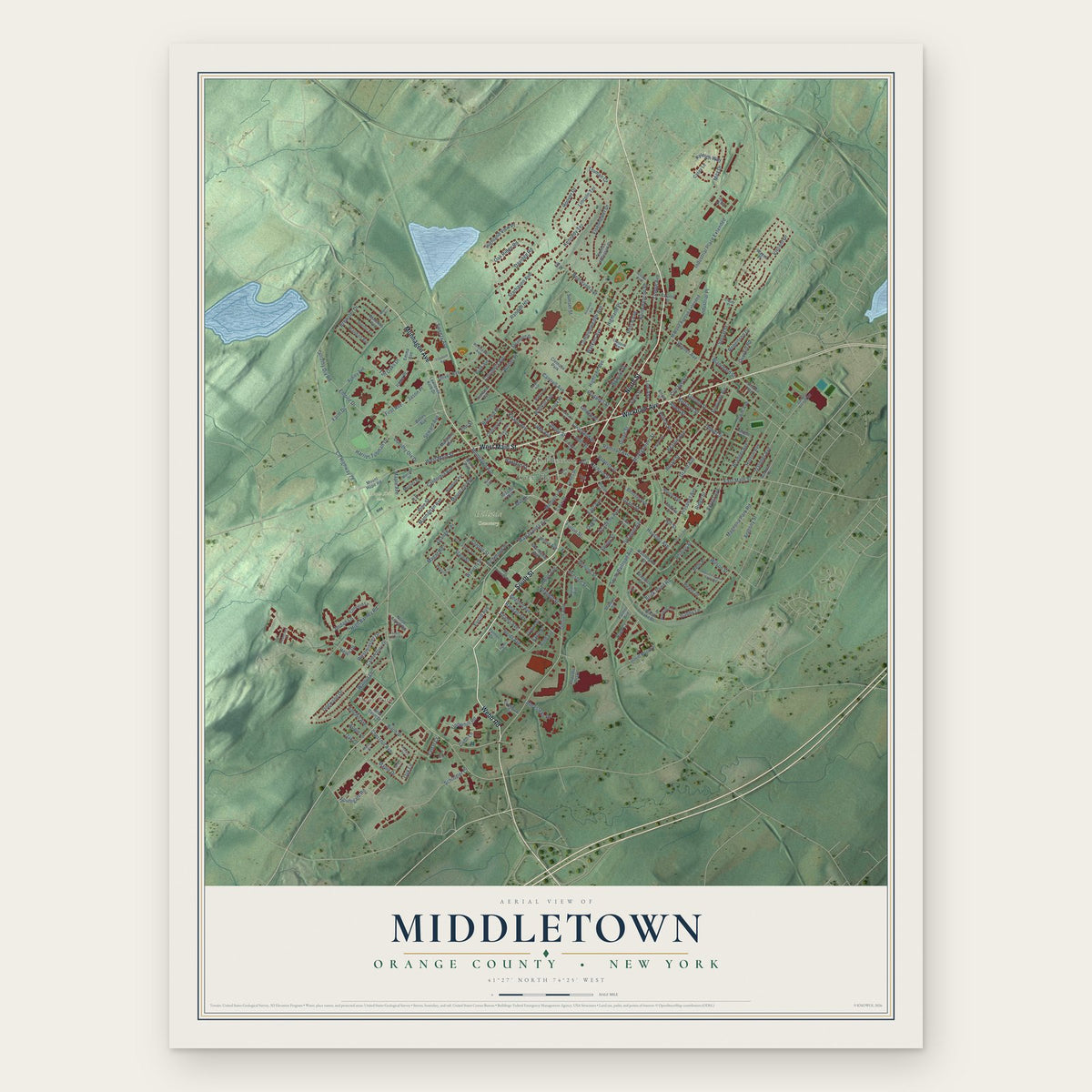
Middletown, Orange County, New York Map Art
Building by building, with labeled streets and shaded relief.
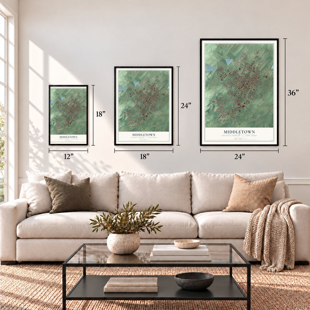
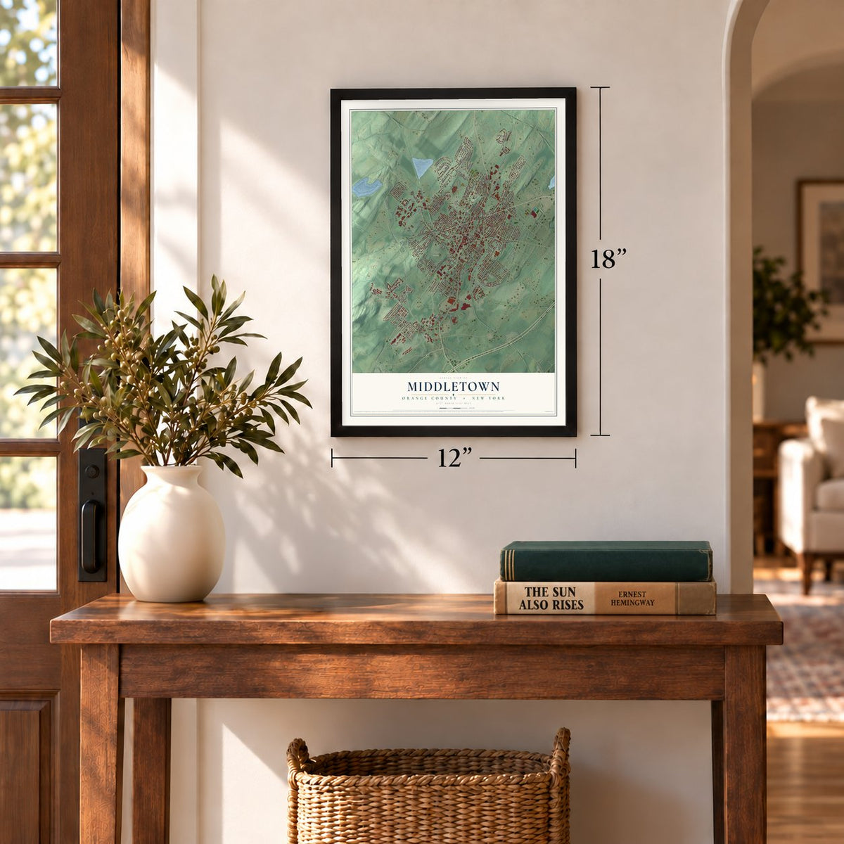
12" x 18" Archival Matte Print
A Map of Home. A Work of Art.
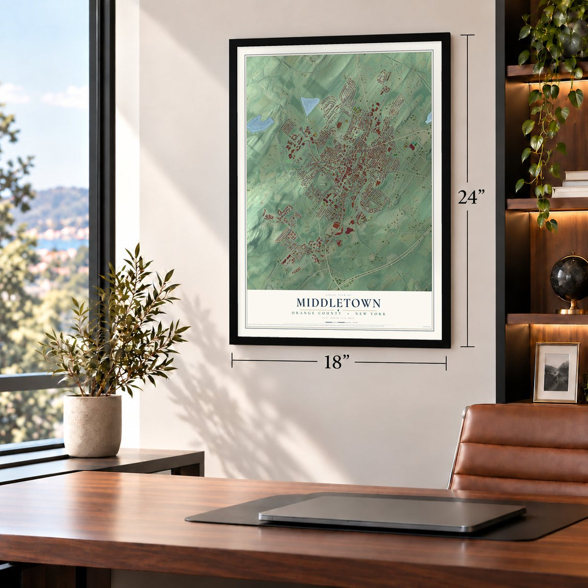
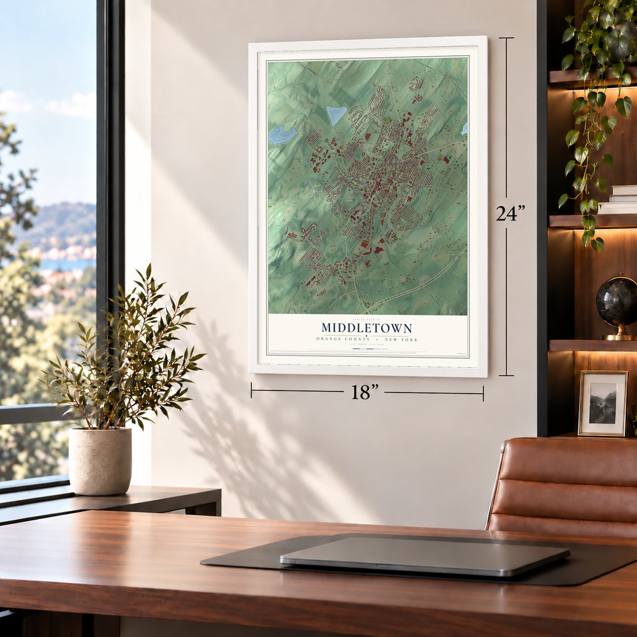
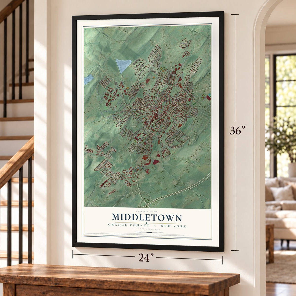
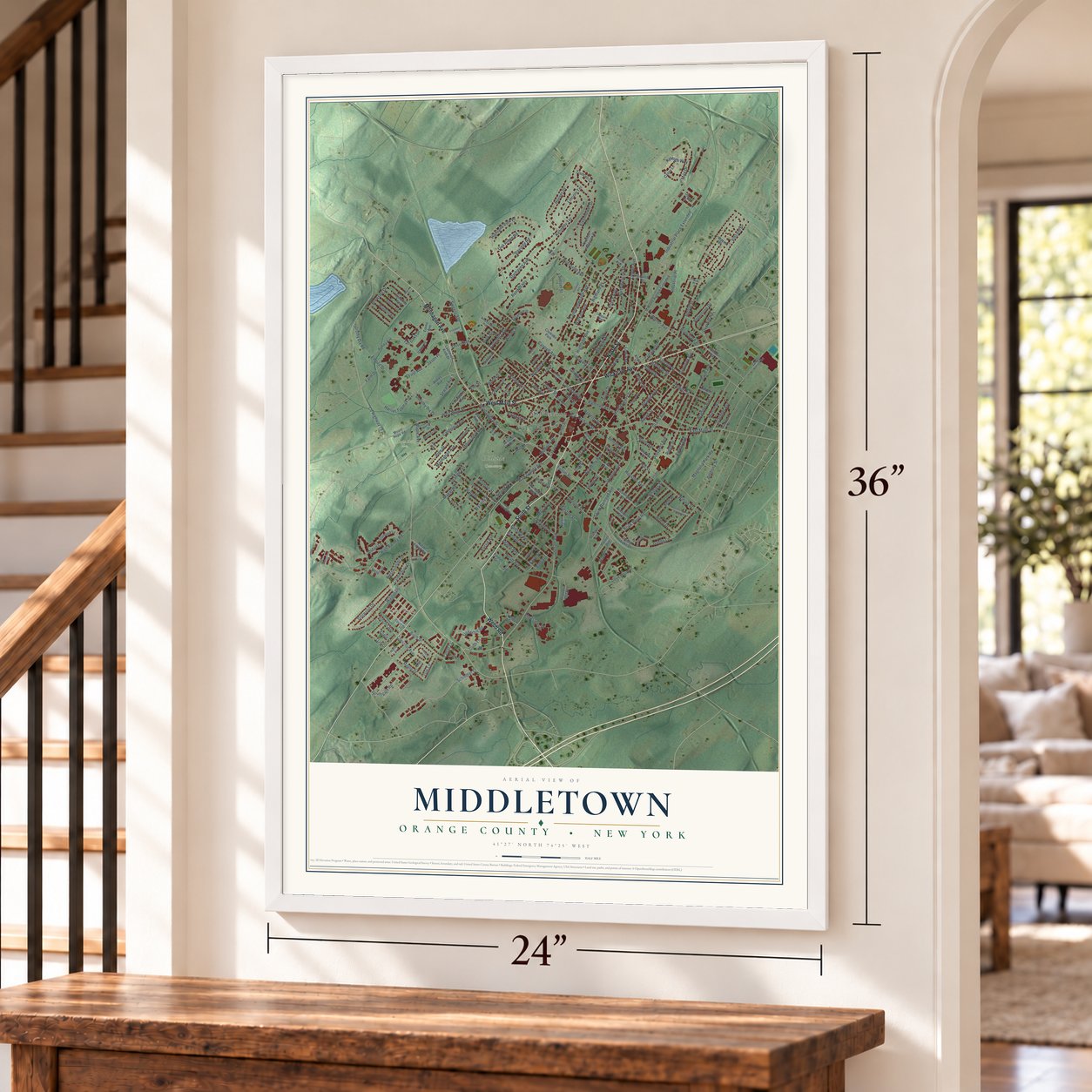
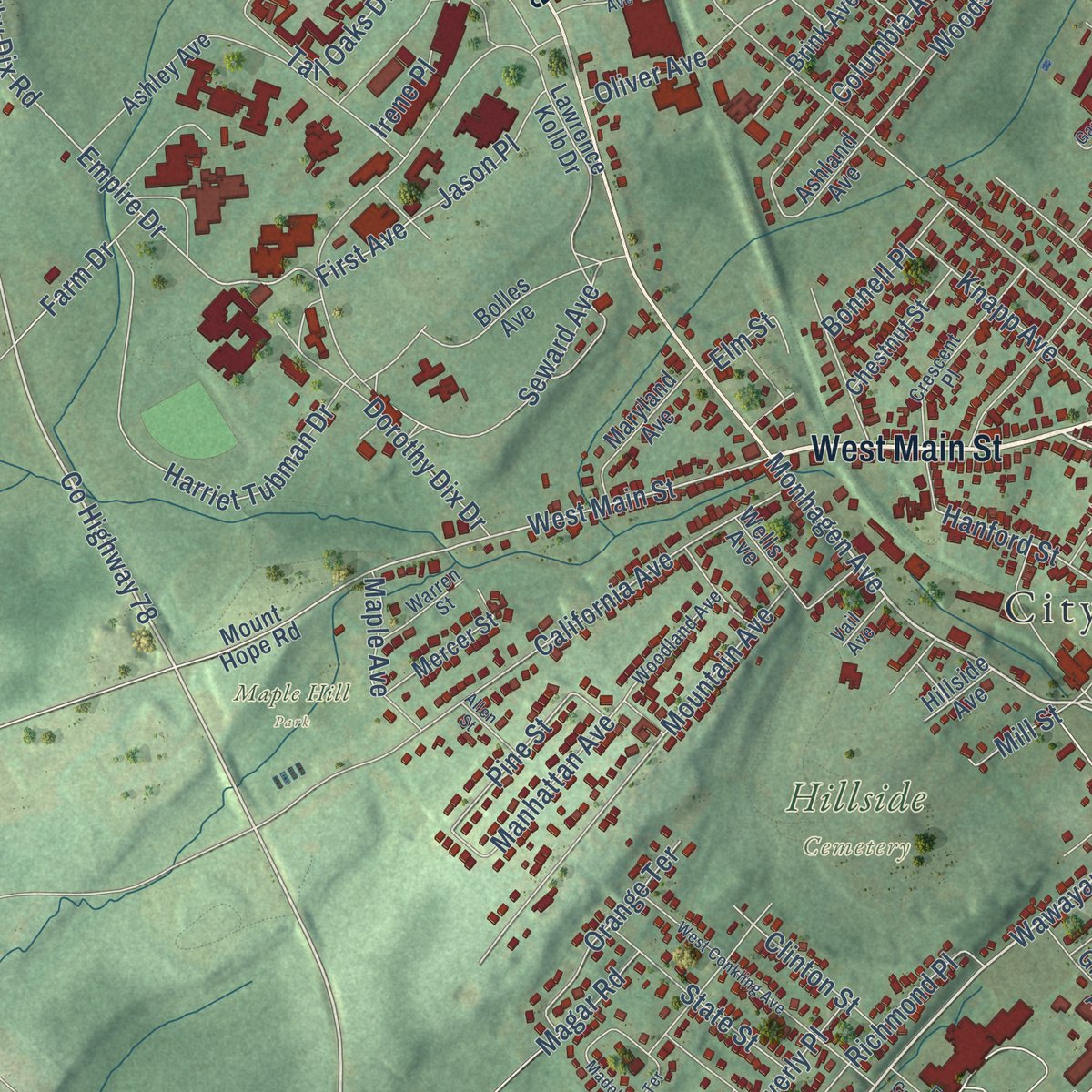
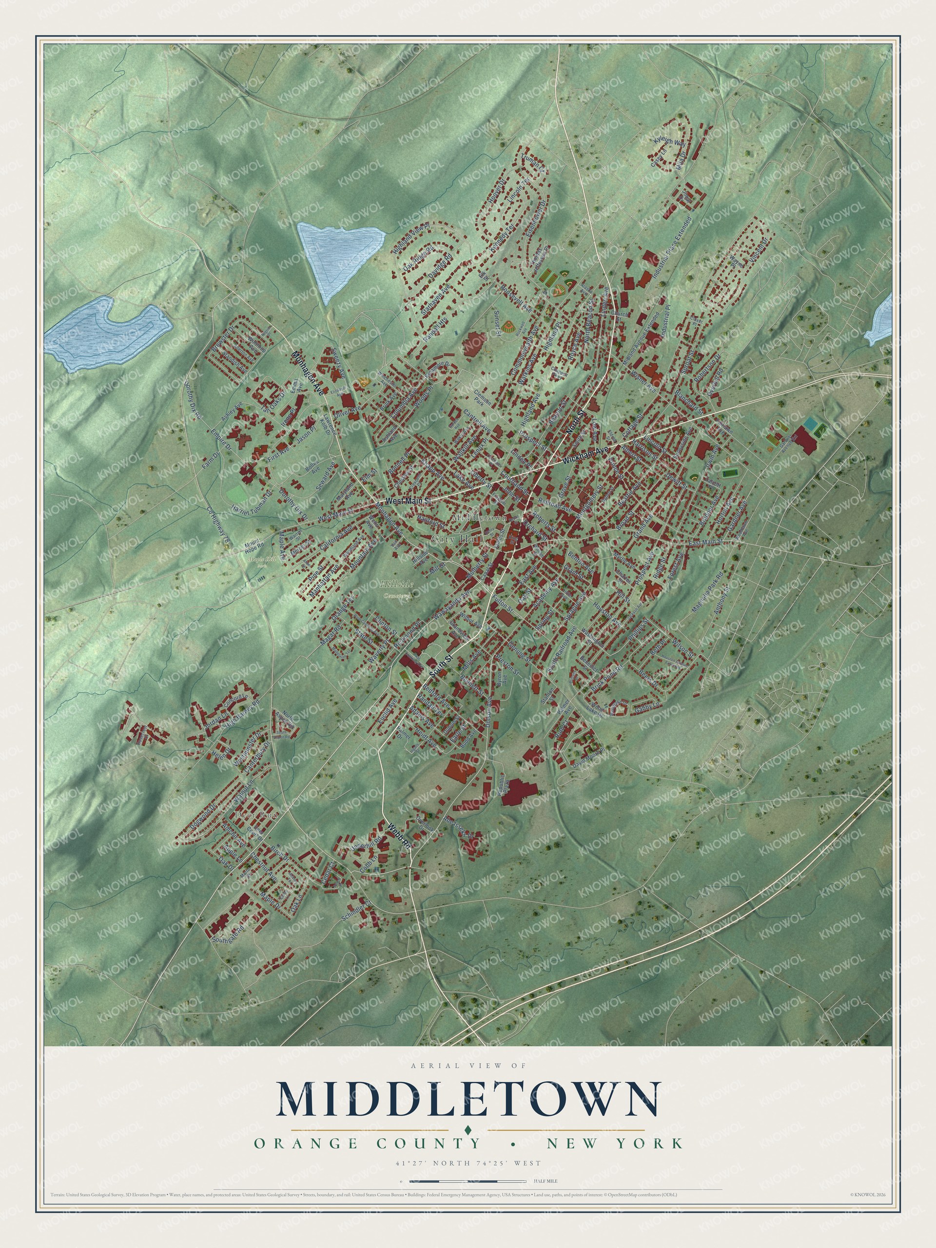
Explore Middletown, New York from a whole new perspective. Created using aerial imagery and detailed geographic data, this map captures Middletown building by building, with labeled streets, familiar landmarks, and shaded topographical relief that highlights the natural contours of the landscape.
Combining modern data with the timeless character of a vintage atlas, this map is just as interesting up close as it is beautiful on the wall. Whether you grew up in Middletown, spent memorable years there, or call it home today, this unique map is a great way to celebrate a place that means something to you. Zoom in on the preview to look for your street, and then order a print to put your memories on the wall.
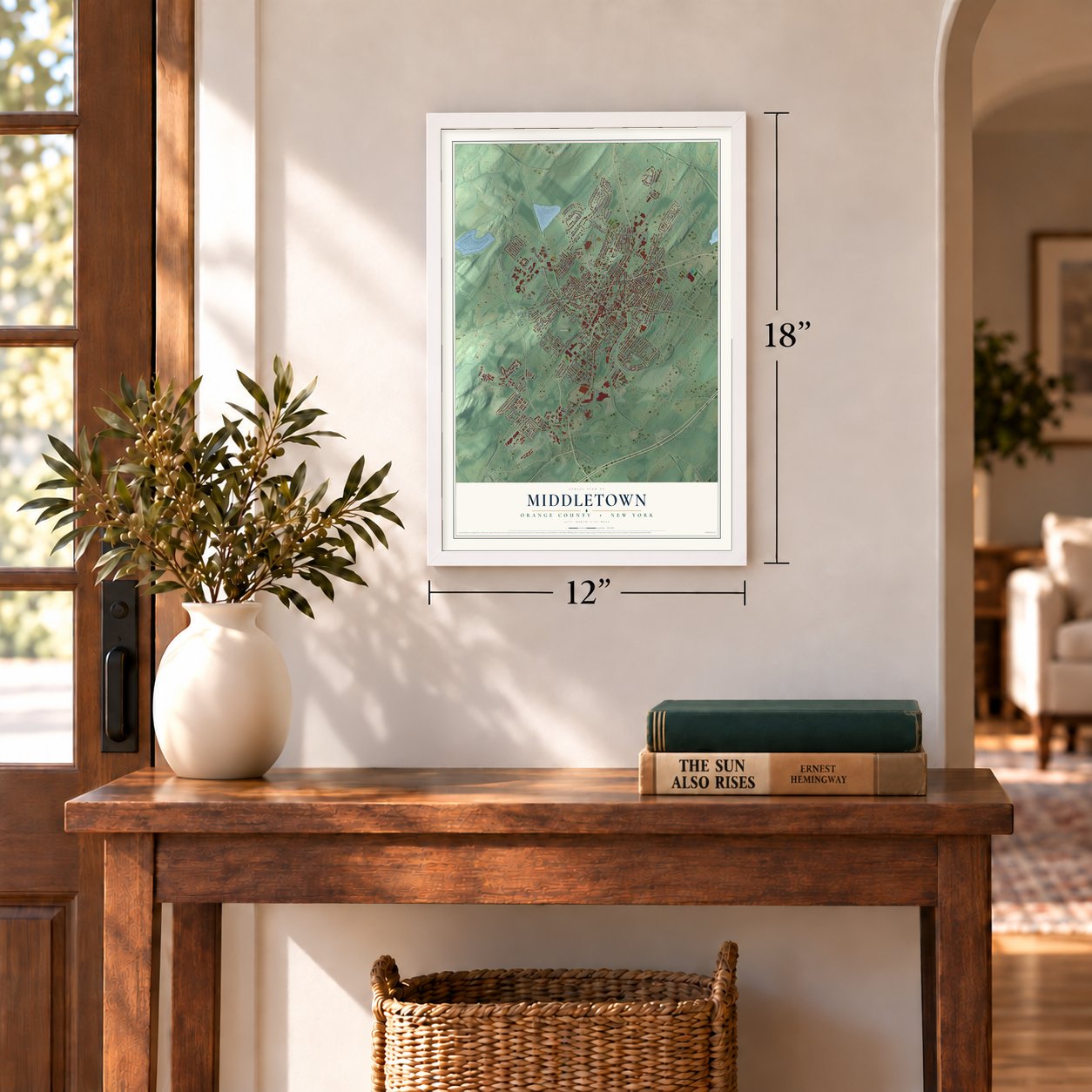
Three ways to hang it
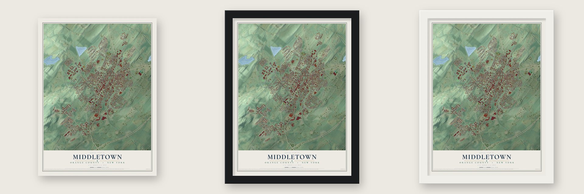
Unframed archival matte, a black wood frame or a white wood frame.
Up close
Geography Worth Displaying
This map was created using accurate cartographic data and authoritative geographic sources, including the U.S. Geological Survey (USGS) and FEMA. The map brings together terrain, waterways, roads, and building detail. The majority of the streets are labeled, houses are accurately depicted, and the topography is derived from government sources. Combining local data with carefully composed color and shading leads to this beautifully detailed Middletown artwork for your wall.
Rather than simply showing street outlines, we’ve included as many of the street names as we could reasonably fit on the map while keeping their names legible. Zoom in on the high resolution preview to see exactly what’s on the map. We truly set out to create a statement piece for anyone who loves Middletown. So whether it’s for you, or a gift for someone you love, we hope this map of Middletown brings back fond memories.
Explore the full map of Middletown, Orange County, New York and read about the local places it shows.
Find your street
Names on the Middletown City (Orange County) map
Every name below is printed on this map. Look for your street, your school, the park where you played, or the pond down the road.
Places and landmarks6
- City Hall
- Deer Run
- Hillside Cemetery
- Maple Hill Park
- Middletown
- Clemson Park
Streets and roads240
- Wickham Avenue
- North Street
- South Street
- West Main Street
- Webb Road
- Monhagen Avenue
- Wawayanda Avenue
- Fulton Street
- County Highway 78
- Dolson Avenue
- Cantrell Avenue
- Dorothy Dix Drive
- Phillips Street
- Empire Drive
- First Avenue
- Seward Avenue
- Prospect Street
- Dorothy Dix Road
- Woods Place
- Manhattan Avenue
- Eisenhower Drive
- North Beacon Street
- Gardner Avenue
- Pine Street
- Ridge Street
- Railroad Avenue
- Beers Drive
- Cottage Street
- Highland Avenue
- Wisner Avenue
Show all 240 streets
- Linden Avenue
- East Main Street
- Vincent Drive
- Lake Avenue
- Highland View Place
- Prospect Avenue
- Academy Avenue
- Genung Street
- Brewster Drive
- Watkins Avenue
- Schindler Court
- California Avenue
- Grand Avenue
- Sproat Street
- Sprague Avenue
- Magnolia Park Road
- Tall Oaks Drive
- Prince Street
- Walnut Lane
- Beattie Avenue
- Randall Heights
- Commonwealth Avenue
- East Avenue
- Harriet Tubman Drive
- Mountain Avenue
- Houston Avenue
- Ruth Court
- Irwin Avenue
- Industrial Place Extended
- Southgate Road
- Montgomery Street
- Bennett Street
- Hoover Drive
- Sunset Street
- Wallkill Avenue
- Kennedy Terrace
- Sweezy Avenue
- High Barney Road
- Industrial Place
- Starhaven Avenue
- Hanford Street
- Roosevelt Avenue
- Dogwood Drive
- Bedford Avenue
- Davidge Road
- Underhill Road
- Liberty Street
- Beacon Street
- Horton Avenue
- Kyleigh Way
- Robertson Drive
- Waverly Place
- Birch Drive
- Mill Street
- Jason Place
- Heidt Avenue
- Broad Street
- Anthony Street
- Mulberry Street
- Brick Pond Road
- Richmond Place
- Chestnut Avenue
- Adams Avenue
- Lincoln Terrace
- Knapp Avenue
- Wilson Street
- Irene Place
- Oak Ridge Road
- Euclid Avenue
- Bradner Avenue
- Orange Terrace
- South Railroad Avenue
- Harrison Street
- Mills Avenue
- Dewitt Street
- State Street
- Jordan Lane
- Columbia Avenue
- Mila Drive
- Westminster Drive
- Albert Street
- Abe Isseks Drive
- Grove Street
- Roberts Street
- Royce Avenue
- Maple Drive
- Lincoln Street
- Low Avenue
- Amchir Avenue
- Clinton Street
- Spring Street
- Beth Place
- Canterbury Drive
- Forest Avenue
- Maple Avenue
- Farm Drive
- Truman Court
- Gabby Lane
- Helen Drive
- Bonnell Place
- Lenox Place
- Oak Lane
- Highland Place
- John Street
- Courtland Street
- Blanchard Street
- Cobb Lane
- Preston Street
- Overhill Road
- Randall Terrace
- Hill Street
- Magar Road
- Orchard Street
- Benton Avenue
- Grant Street
- Oak Drive
- Oliver Avenue
- Oak Street
- Cedar Court
- Linden Place
- Apple Lane
- Earle Street
- Elm Street
- Palmer Drive
- Sycamore Drive
- Washington Street
- Ashley Avenue
- David Moore Place
- Deer Court Drive
- Jimal Drive
- Bolles Avenue
- Midland Avenue Extended
- Emma Avenue
- Lawrence Kolb Drive
- Thomas Jefferson Place
- Myrtle Avenue
- Concord Lane
- Overlook Drive
- Smith Street
- Republic Plaza
- Church Street
- Palmer Avenue
- Maryland Avenue
- Standish Avenue
- Winthrop Avenue
- Brink Avenue
- Sunnyside Avenue
- Grandview Avenue
- James Street
- Chestnut Street
- North Aspen Road
- Canal Street
- Mount Hope Road
- Fairlawn Avenue
- Mercer Street
- Casey Lane
- Wood Lake Drive
- Charles Street
- Wells Avenue
- Wilbur Avenue
- Dubois Street
- Byron Avenue
- Budd Avenue
- Ashland Avenue
- Benedict Street
- Talcott Place
- Stanton Street
- Hillside Avenue
- Wayne Place
- Elk Street
- Gardner Avenue Extension
- Woodlake Drive
- Ogden Street
- Little Avenue
- Crescent Place
- Wilkin Avenue
- Allerton Avenue
- Winchester Avenue
- Woodland Avenue
- Warren Street
- Martin Street
- Franklin Street
- Woodlawn Avenue
- Rosecrest Court
- Chappell Parkway
- King Street
- Eldred Street
- William Street
- Alaska Avenue
- Vail Avenue
- Clover Place
- Houston Avenue Extended
- West Conkling Avenue
- Jackson Avenue
- Ingalls Street
- East Conkling Avenue
- Madelaine Terrace
- Rockwell Avenue
- Peach Place
- Brittany Drive
- Courtland Place
- Garden Avenue
- Elizabeth Avenue
- South Aspen Road
- Hickory Terrace
- Henry Street
- Depot Street
- Benny Lane
- Allen Street
- Pilgrim Place
Names are listed as they appear on the printed map. Zoom into the product photos to find them.
About Middletown, Orange County, New York
Middletown got its name from its spot between older settlements. For a while residents called it South Middletown, so it would not be mixed up with another place nearby. They dropped the word South when the community became a village in 1848. It became a city in 1888.
Railroads drove Middletown's growth in the 1800s, above all the Erie and the New York, Ontario and Western lines. Local factories turned out shoes, furniture and lawnmower blades. By the 1960s most of those plants had shut down.
- The college began in a mansionIn 1950 the Webb Horton mansion and the 18 acres around it were given to the community. They became the start of Orange County Community College.
Keep exploring New York
Middletown is one of 2,165 New York towns we've mapped. Every dot on the map is a print of its own.
The search covers every state, New York first.
Near Middletown
Order 2 or more town maps and save 10%. Shown in the size and finish you picked above, so they hang as a set.
- Mechanicstown 12" x 18" / Archival Matte Print $39.99
- Washington Heights 12" x 18" / Archival Matte Print $39.99
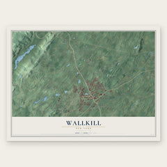
- Wallkill 12" x 18" / Archival Matte Print $39.99


More maps nearby: Scotchtown, Wawayanda, Mount Hope, Town of Goshen and Village of Goshen.
The art of mapping a place
How This Map Was Made
Real places. Remarkable detail. Discover the layers that turn geographic data into a map of home.

The view from above
Aerial imagery reveals the character of the land: woodland, open fields, and the patterns of a place.

The shape of the land
Elevation data brings hills, valleys, and subtle changes in the landscape into view.

The details of home
Roads, waterways, and building footprints come together to make the map feel unmistakably local.

Geography becomes art
Considered color, shading, and typography bring the layers together in a map made for your wall.


Process illustrated with Mendon, Massachusetts. Aerial imagery: USDA NAIP. Terrain: USGS 3D Elevation Program. Map details and finished artwork: KNOWOL.
The Details
About This Print
Choose an archival matte print, or a black or white Ayous wood frame. The archival matte print is unframed.
Select your size and finish above to see the matching product image and price.
Materials & Craftsmanship
A contemporary map with the character of a classic atlas, printed on archival matte paper. Optional frames are made from Ayous wood.
Your printed map does not include the watermark shown in the full-map preview.
Shipping & Delivery
Free shipping within the United States. Every print is made to order in the USA.
Buying a gift? Add a note in your cart and we'll include it. We never put prices in the package.
Prints ship within 2 to 3 business days. Allow 7 to 10 days total from ordering for delivery. Timing may vary during holidays or periods of high order volume.
Read our shipping policy.
Returns and damaged prints
Each print is made to order. Change-of-mind refunds are not available after production.
If your print arrives damaged, misprinted or incorrect, contact support@knowol.com within 30 days of receiving it. Include your order number, photos and a description of the issue.
Read our full refund and replacement policy. For questions about your order, email support@knowol.com.