
Search for another town

Free U.S. delivery 7 to 10 days after you order
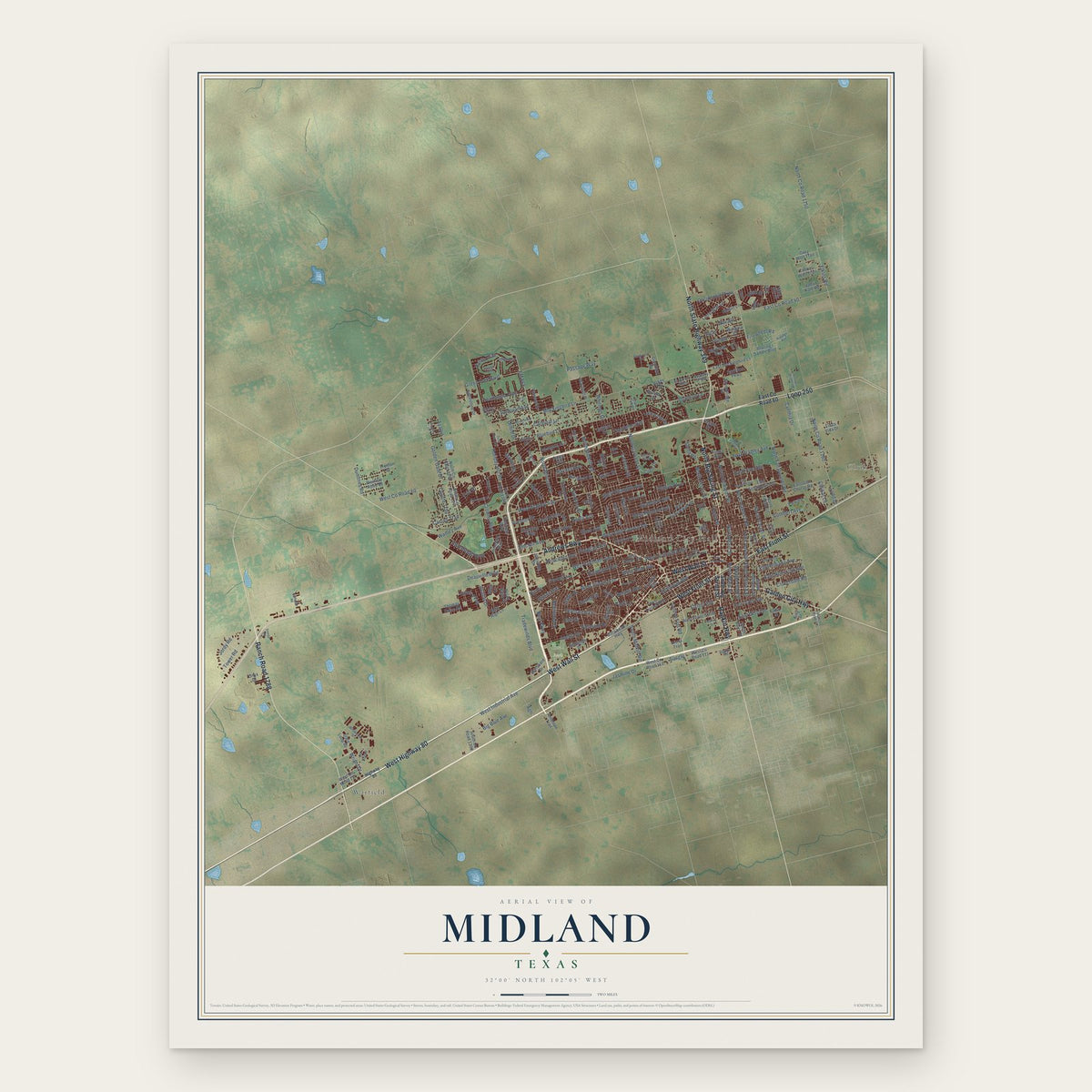
Midland, Texas Map Art
Building by building, with labeled streets and shaded relief.
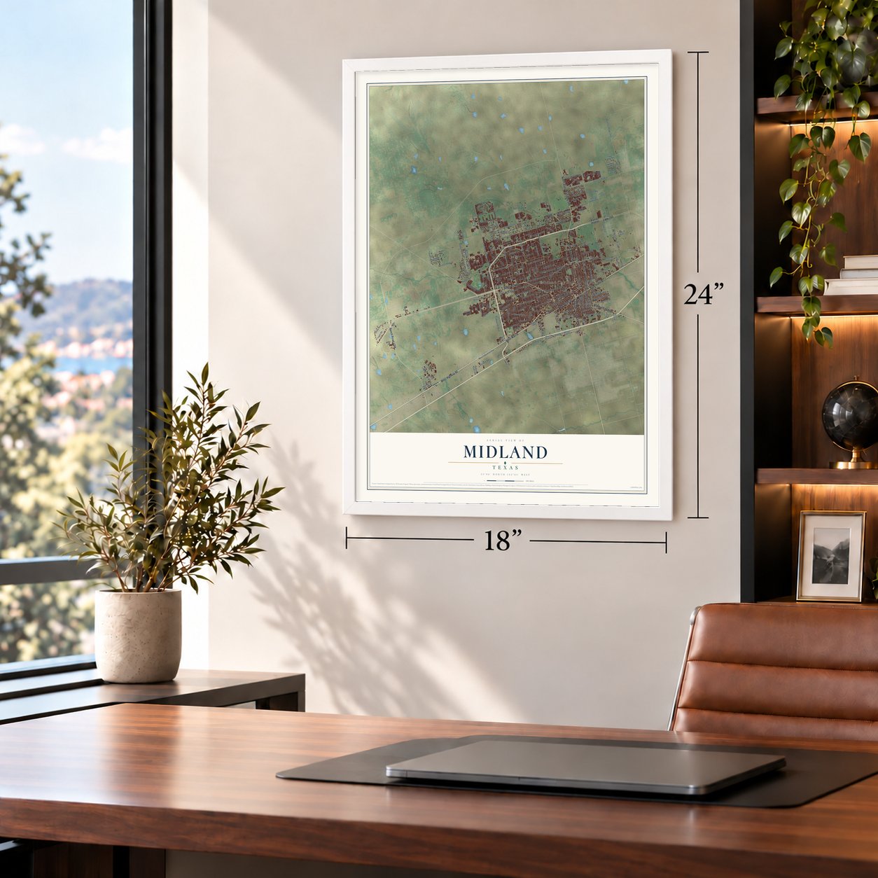
12" x 18" Archival Matte Print
A Map of Home. A Work of Art.
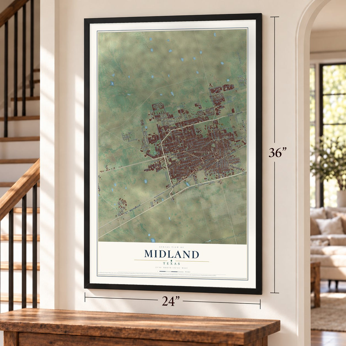
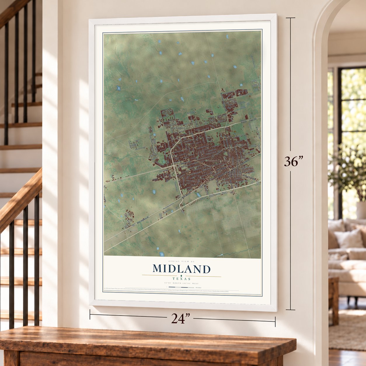
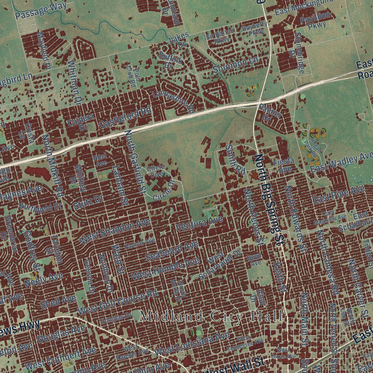
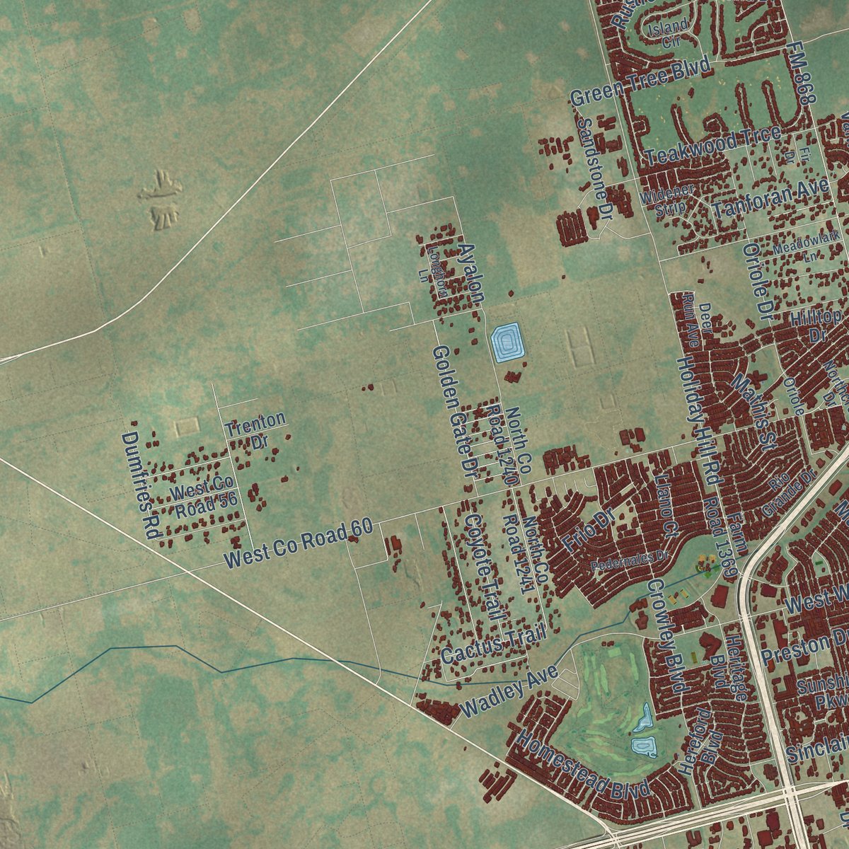
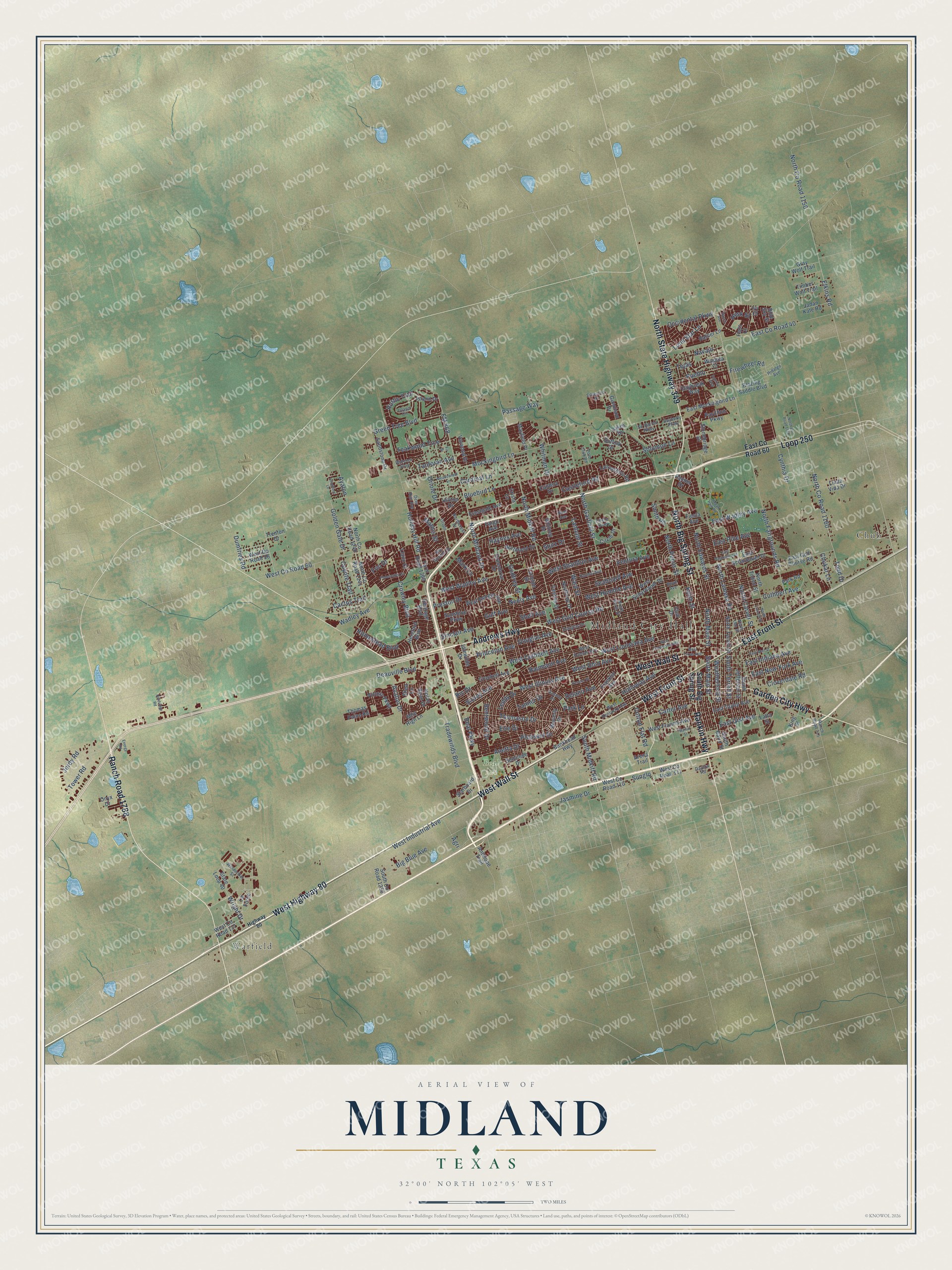
Explore Midland, Texas from a whole new perspective. Created using aerial imagery and detailed geographic data, this map captures Midland building by building, with labeled streets, familiar landmarks, and shaded topographical relief that highlights the natural contours of the landscape.
Combining modern data with the timeless character of a vintage atlas, this map is just as interesting up close as it is beautiful on the wall. Whether you grew up in Midland, spent memorable years there, or call it home today, this unique map is a great way to celebrate a place that means something to you. Zoom in on the preview to look for your street, and then order a print to put your memories on the wall.
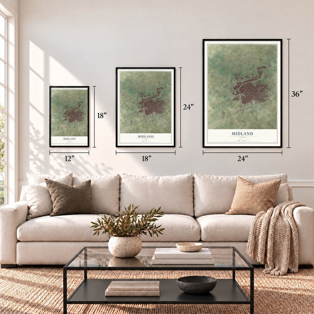
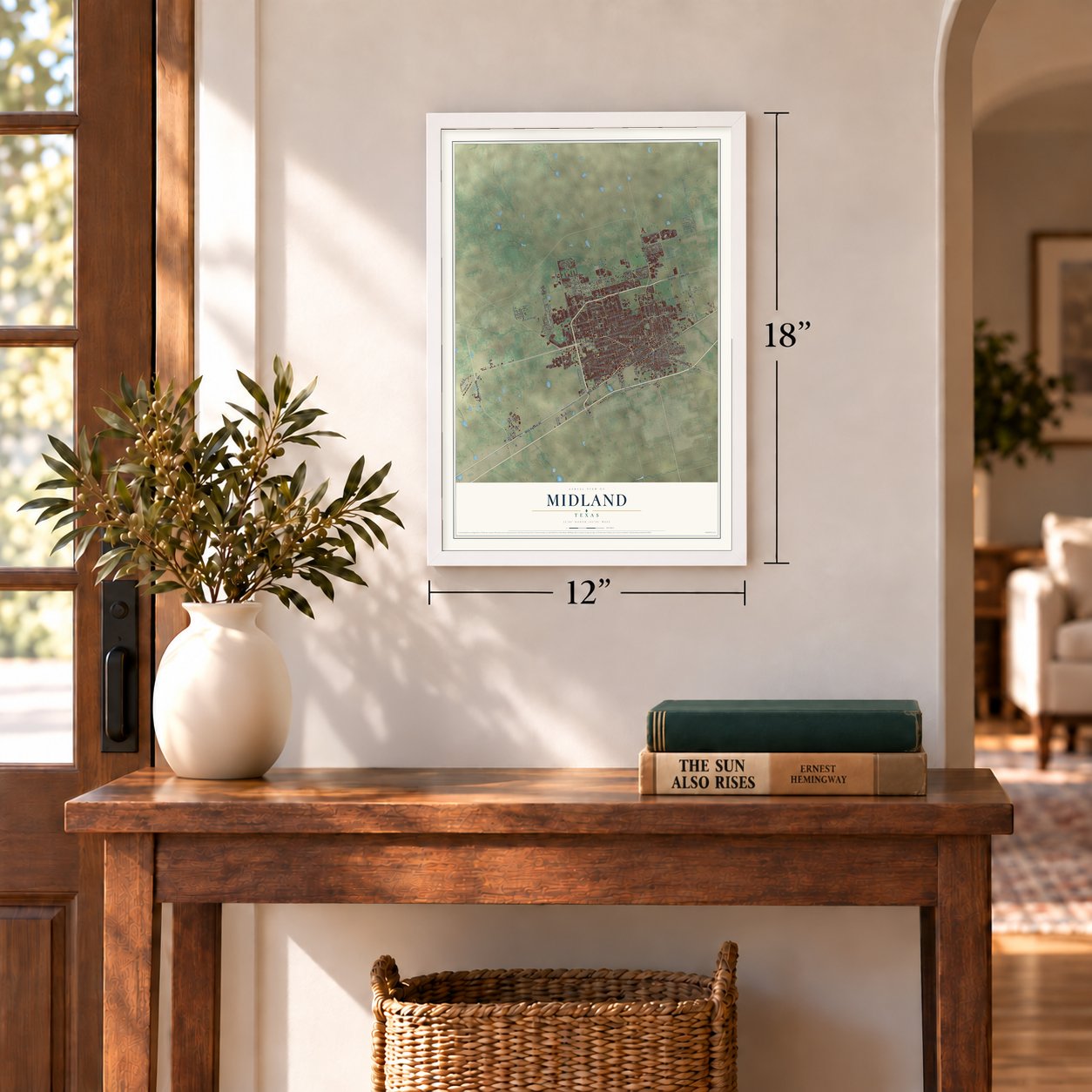
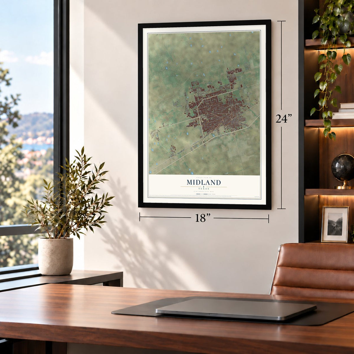
Three ways to hang it
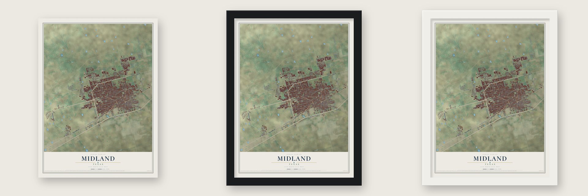
Unframed archival matte, a black wood frame or a white wood frame.
Up close
Geography Worth Displaying
This map was created using accurate cartographic data and authoritative geographic sources, including the U.S. Geological Survey and the Census Bureau. The map brings together terrain, waterways, roads, and building detail. The majority of the streets are labeled, houses are accurately depicted, and the topography is derived from government sources. Combining local data with carefully composed color and shading leads to this beautifully detailed Midland artwork for your wall.
Rather than simply showing street outlines, we’ve included as many of the street names as we could reasonably fit on the map while keeping their names legible. Zoom in on the high resolution preview to see exactly what’s on the map. We truly set out to create a statement piece for anyone who loves Midland. So whether it’s for you, or a gift for someone you love, we hope this map of Midland brings back fond memories.
Find your street
Names on the Midland map
Every name below is printed on this map. Look for your street, your school, the park where you played, or the pond down the road.
Places and landmarks4
- Midland City Hall
- Beal Park
- Warfield
- Chub
Streets and roads246
- West Wall Street
- Ranch Road 1788
- Andrews Highway
- West Highway 80
- North State Highway 349
- Rankin Highway
- North Big Spring Street
- Loop 250
- West Front Street
- East Front Street
- Garden City Highway
- South Main Street
- North Main Street
- West County Road 60
- Cotton Flat Road
- West Cuthbert Avenue
- Cuthbert Avenue
- North Lamesa Road
- Castleford Road
- West Wadley Avenue
- Carter Avenue
- Bluebird Lane
- West Humble Avenue
- FM 868
- Firewheel Road
- Teakwood Trce
- Stutz Drive
- West Shandon Avenue
- South Midkiff Road
- Golden Gate Drive
Show all 246 streets
- East Gist Avenue
- West Industrial Avenue
- Mockingbird Lane
- North Midland Drive
- North Fairgrounds Road
- North Midkiff Road
- North County Road 1150
- West Illinois Avenue
- Neely Avenue
- North Garfield Street
- Storey Avenue
- Princeton Avenue
- Elkins Road
- West Louisiana Avenue
- Holiday Hill Road
- Sinclair Avenue
- Todd Drive
- Lanham Street
- West Ohio Avenue
- Godfrey Street
- Ward Street
- Gulf Avenue
- West Golf Course Road
- Thomason Drive
- Shell Avenue
- Tradewinds Boulevard
- North Edwards Street
- Green Tree Boulevard
- East County Road 40
- North County Road 1160
- Solomon Lane
- Anetta Drive
- Douglas Avenue
- Haynes Avenue
- North Pecos Street
- Cardinal Lane
- Occidental Parkway
- East New York Avenue
- North Carver Street
- Deauville Boulevard
- Rustic Trail
- East Indiana Avenue
- South Terrell Street
- Oriole Drive
- Seaboard Avenue
- Whitman Drive
- East Pine Avenue
- Beal Parkway
- Crowley Boulevard
- Tower Road
- East Wadley Avenue
- Mark Lane
- Delano Avenue
- Pleasant Drive
- Cynthia Drive
- Wadley Avenue
- Wright Drive
- Jordy Road
- Homestead Boulevard
- Avalon Drive
- Tanner Drive
- Frio Drive
- Tanforan Avenue
- Cloverdale Road
- Ayalon
- Pueblo
- Weatherford Street
- Lone Star Lane
- Holloway Avenue
- Leddy Drive
- Sunglo
- Big Blue Avenue
- Ric Drive
- Jasmine Drive
- Bentwood Drive
- Preston Drive
- Baumann Avenue
- Coyote Trail
- Passage Way
- Ventura Avenue
- Erie Drive
- Smith Road
- Mathis Street
- Keith Street
- Navajo
- Chukar Lane
- Dumfries Road
- Cactus Trail
- Husk Street
- Tejas
- Park Lane
- Agri
- South Big Spring Street
- East County Road 60
- Farm Road 1369
- Nolan Ryan Drive
- State Loop 40
- West Dengar Avenue
- West Scharbauer Drive
- East Scharbauer Drive
- East Golf Course Road
- Whitney Drive
- East Taylor Avenue
- Tarleton Street
- West Francis Avenue
- South Baird Street
- Bankhead Highway
- Idlewilde Drive
- Heritage Boulevard
- North Tilden Street
- North Terrell Street
- South Jefferson Street
- Stonebridge Drive
- East Mockingbird Lane
- Cessna Drive
- Llano Court
- Franklin Avenue
- West County Road 110
- Daybreak Way
- Northrup Drive
- Island Drive
- Hilltop Drive
- Sandstone Drive
- North County Road 1241
- Greenbriar Drive
- West County Road 56
- Circle Drive
- West County Road 117
- La Force
- Victory Parkway
- Washita Court
- Waverly Drive
- Rattler Lane
- Shea Lane
- Pavillion Parkway
- Lancashire Road
- Hereford Boulevard
- Sunshine Parkway
- Crestgate Avenue
- Lakes Drive
- Crockett Avenue
- Blazing Saddle Boulevard
- Park Road
- Jadan Kate Road
- Latta Street
- Northfield Drive
- Timber Wolf Trail
- Valwood Drive
- West County Road 111
- Antelope Trail
- Gray Wolf Trail
- Thomas Paine Road
- Gunnison Drive
- Mile High Lane
- North County Road 1240
- Linda Vida Drive
- Mayfield Place
- Seminole Drive
- South County Road 1250
- Club Drive
- Starboard Drive
- King Street
- Caldera Drive
- Suffolk Drive
- Fiesta Avenue
- Onyx Drive
- Trenton Drive
- Crista Lane
- Palmer Drive
- Fargo Avenue
- Arena Trail
- Blue Sky Street
- Flats Court
- Ivy Court
- Hidalgo Avenue
- West Kansas Avenue
- West Kentucky Avenue
- North North Street
- Boyd Avenue
- Fannin Avenue
- Windecker Street
- North Lee Street
- Rio Grande Drive
- Island Circle
- Widener Strip
- Northcrest Drive
- Ranch Road 715
- Gaston Drive
- Sir Barton Parkway
- Douglas Drive
- Circle Dive
- Silverton Drive
- Deer Run Avenue
- Bayberry Parkway
- Polo Club Road
- Dayton Road
- Oriole
- Noel Avenue
- Highway 80
- West Tennessee Avenue
- West Texas Avenue
- East Magnolia Avenue
- Ranch Avenue
- North Lincoln Street
- East Wall Street
- Hogan Park Road
- Pedernales Drive
- Kessler Place
- Energy Road
- Meadowlark Lane
- North County Road 1162
- Marlin Street
- Holdridge Road
- Longhorn Lane
- Sunrise Way
- Fir Drive
Names are listed as they appear on the printed map. Zoom into the product photos to find them.
About Midland, Texas
Midland is a city in Midland County, Texas. Its population was 132,524 in the 2020 census.
- 132,524 residentsThe Census Bureau recorded this population in 2020.
- County seatIt serves as the seat of Midland County.
- Incorporated in 1906The community formally incorporated in 1906.
Keep exploring Texas
Midland is one of 2,049 Texas towns we've mapped. Every dot on the map is a print of its own.
The search covers every state, Texas first.
Near Midland
Order 2 or more town maps and save 10%. Shown in the size and finish you picked above, so they hang as a set.
- Greenwood 12" x 18" / Archival Matte Print $39.99
- Gardendale 12" x 18" / Archival Matte Print $39.99
- Odessa 12" x 18" / Archival Matte Print $39.99
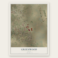
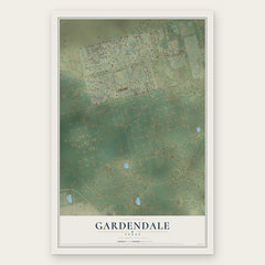
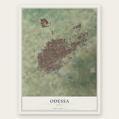
More maps nearby: Stanton, Grady, West Odessa, Goldsmith and McKinney Acres.
The art of mapping a place
How This Map Was Made
Real places. Remarkable detail. Discover the layers that turn geographic data into a map of home.

The view from above
Aerial imagery reveals the character of the land: woodland, open fields, and the patterns of a place.

The shape of the land
Elevation data brings hills, valleys, and subtle changes in the landscape into view.

The details of home
Roads, waterways, and building footprints come together to make the map feel unmistakably local.

Geography becomes art
Considered color, shading, and typography bring the layers together in a map made for your wall.


Process illustrated with Mendon, Massachusetts. Aerial imagery: USDA NAIP. Terrain: USGS 3D Elevation Program. Map details and finished artwork: KNOWOL.
The Details
About This Print
Choose an archival matte print, or a black or white Ayous wood frame. The archival matte print is unframed.
Select your size and finish above to see the matching product image and price.
Materials & Craftsmanship
A contemporary map with the character of a classic atlas, printed on archival matte paper. Optional frames are made from Ayous wood.
Your printed map does not include the watermark shown in the full-map preview.
Shipping & Delivery
Free shipping within the United States. Every print is made to order in the USA.
Buying a gift? Add a note in your cart and we'll include it. We never put prices in the package.
Prints ship within 2 to 3 business days. Allow 7 to 10 days total from ordering for delivery. Timing may vary during holidays or periods of high order volume.
Read our shipping policy.
Returns and damaged prints
Each print is made to order. Change-of-mind refunds are not available after production.
If your print arrives damaged, misprinted or incorrect, contact support@knowol.com within 30 days of receiving it. Include your order number, photos and a description of the issue.
Read our full refund and replacement policy. For questions about your order, email support@knowol.com.