
Search for another town





Free U.S. delivery 7 to 10 days after you order
West Odessa, Texas Map Art
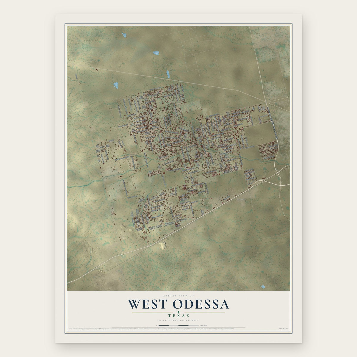
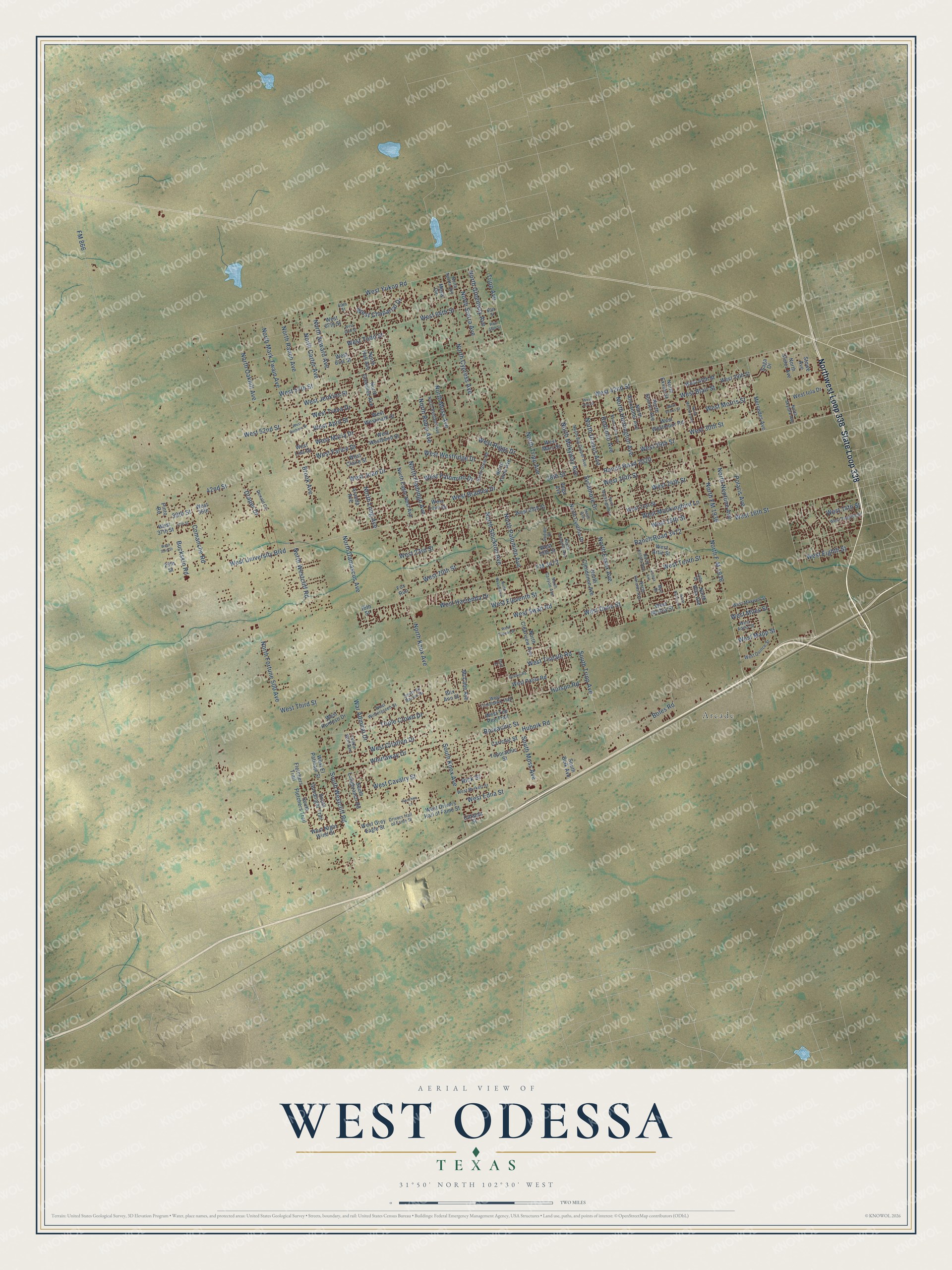
A new map of West Odessa, Texas, made in 2026 and printed to order on thick archival matte paper.
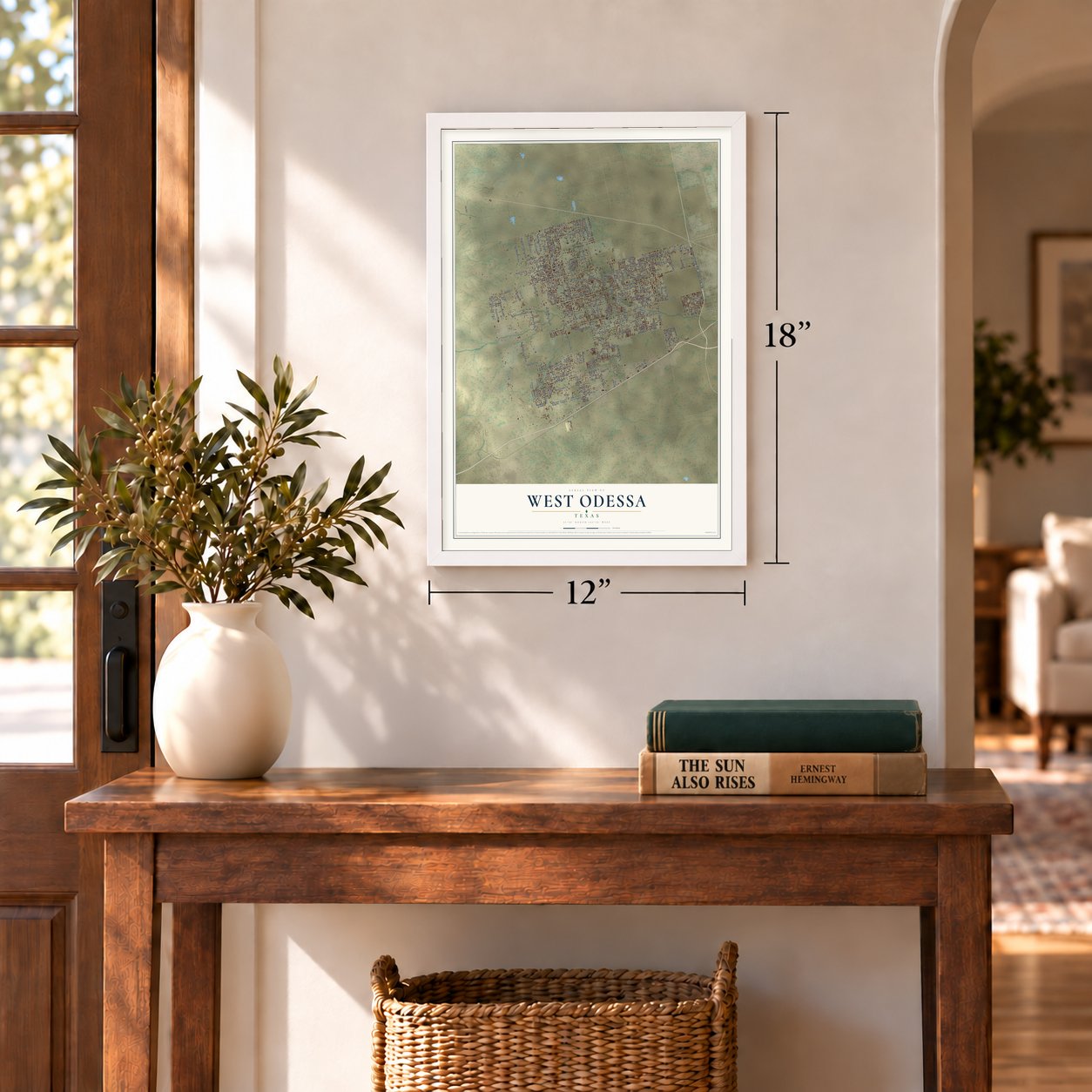
12" x 18" Archival Matte Print
A Map of Home. A Work of Art.
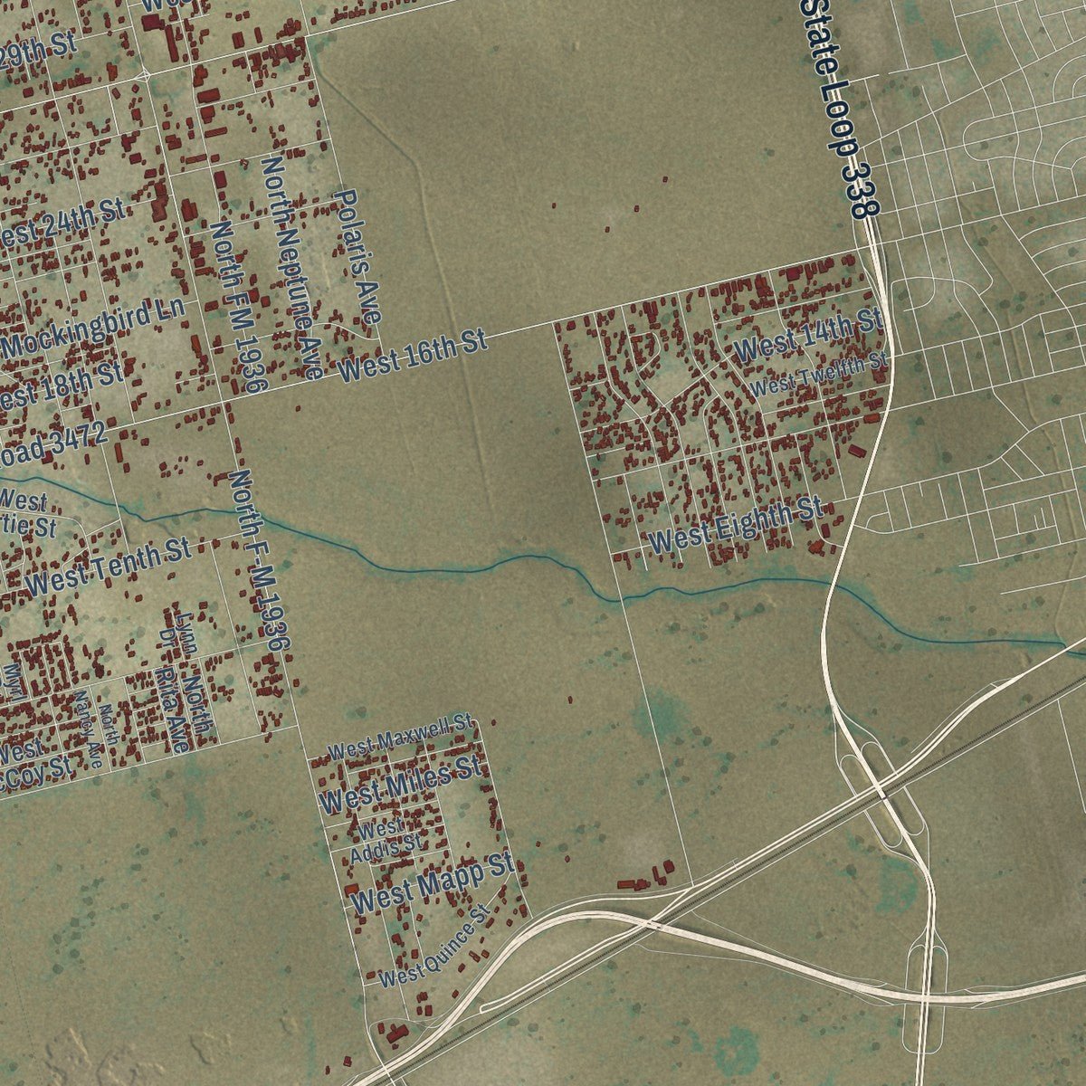
This beautifully detailed map of West Odessa, Texas was created in 2026 using aerial imagery combined with modern topographical, census, street and landmark data. It's a modern aerial view of West Odessa in Ector County, Texas, that combines modern data with a vintage aesthetic. Zoom in on the preview and look for your block.
Three ways to hang it
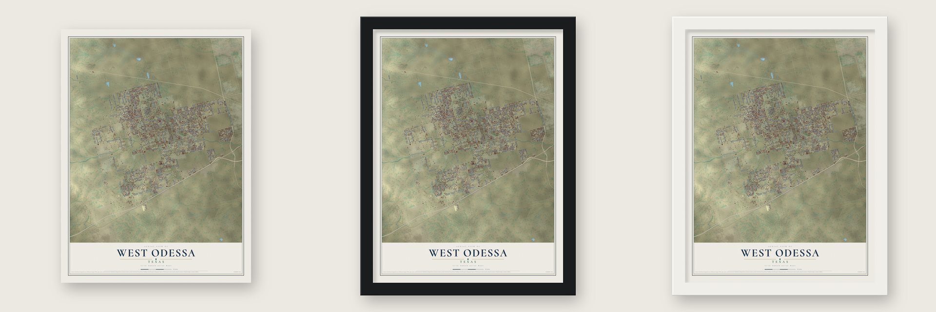
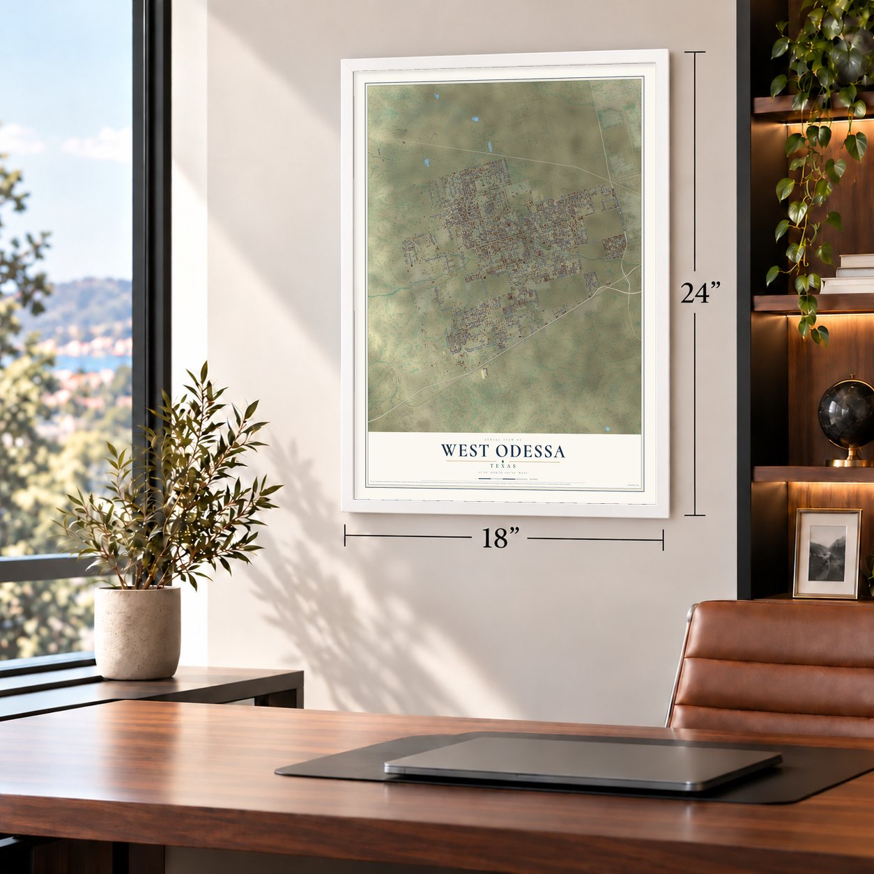
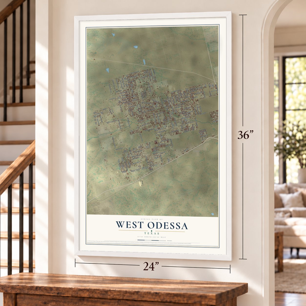
Unframed archival matte, a black wood frame or a white wood frame.
Up close
Real geography. Art worth displaying.
This map was created using accurate cartographic data and authoritative geographic sources, including the U.S. Geological Survey and the Census Bureau. The map brings together terrain, waterways, roads, and building detail. The majority of the streets are labeled, houses are accurately depicted, and the topography is derived from government sources. Combining local data with carefully composed color and shading leads to this beautifully detailed West Odessa artwork for your wall.
Rather than simply showing street outlines, we’ve included as many of the street names as we could reasonably fit on the map while keeping their names legible. Zoom in on the high resolution preview to see exactly what’s on the map. We truly set out to create a statement piece for anyone who loves West Odessa. So whether it’s for you, or a gift for someone you love, we hope this map of West Odessa brings back fond memories.
Read the story behind this map of West Odessa, Texas from 2026.

About West Odessa, Texas
West Odessa is an unincorporated community and census-designated place in Ector County, adjoining the western side of Odessa. Its population reached 33,340 in the 2020 census. The community occupies 62.7 square miles near the center of the county and belongs to the Odessa metropolitan area.
- Community BoundariesInterstate 20 borders West Odessa to the south, State Highway 302 to the north, FM 866 to the west, and Odessa to the east.
- Mostly LandOf its 62.7 square miles, 62.7 square miles are land and 0.08 square miles are water.
- Local SchoolsStudents in West Odessa are served by the Ector County Independent School District.
- Interstate AccessInterstate 20 exits 104, 108, 112, and 113 provide access to the community.
Find your street
Names on the West Odessa map
Every name below is printed on this map. Look for your street, your school, the park where you played, or the pond down the road.
Places and landmarks1
- Arcade
Streets and roads199
- State Loop 338
- Northwest Loop 338
- West 42nd Street
- North FM 1936
- North F-M 1936
- West Yukon Road
- FM 866
- Ranch Road 2020
- West University Boulevard
- West 16th Street
- North Knox Avenue
- North Moss Avenue
- West Third Street
- West 26th Street
- North Westcliff Road
- North Tripp Avenue
- Ranch Road 3472
- North Flamingo Avenue
- West 57th Street
- West 23rd Street
- West 64th Street
- West Dunn Street
- North Long Avenue
- Redondo Avenue
- West Tenth Street
- North Sierra Avenue
- West 24th Street
- North Cypress Avenue
- North Damascus Avenue
- South Westcliff Road
Show all 199 streets
- North Stockton Avenue
- West Eleventh Street
- West 20th Street
- West April Street
- West Westridge Drive
- North Palomino Avenue
- West 18th Street
- North Fortune 500 Avenue
- North Seward Avenue
- North Mark Twain Avenue
- South Knox Avenue
- North Huntington Avenue
- West Riggs Drive
- West Blair Street
- South Moss Avenue
- West Bradley Drive
- West Palomino Drive
- North Oakhill Avenue
- West 14th Street
- FM 3472
- Triple Crown Drive
- West Cavalry Street
- Whirlaway Drive
- West Treva Drive
- West Jenkins Street
- War Admiral Drive
- West Joan Drive
- South Tripp Avenue
- North Robin Avenue
- West Citation Drive
- West Swan Road
- West 29th Street
- 42nd Street
- Boles Road
- West Chaparral Drive
- Tripp Avenue
- West Edna Street
- North Greenway Avenue
- Polaris Avenue
- North Ranch Avenue
- North Carter Avenue
- North Milkyway Avenue
- Comanche Road
- West Mockingbird Lane
- West Morris Street
- West Tisdale Road
- Hutson Road
- Hubnik Road
- West Farice Drive
- North Uranus Avenue
- North Essex Avenue
- Buckskin Road
- West 52nd Street
- West Hacienda Drive
- North Neptune Avenue
- West Eighth Street
- West Maria Drive
- West 30th Street
- Sycamore Drive
- West Todd Street
- West Mapp Street
- West Miles Street
- 39th Street
- Draper Drive
- Brook Avenue
- Boreachic Street
- 28th Street
- Rick Street
- South Fletchers Trail
- Aranda Avenue
- West 25th Street
- North Sooner Avenue
- North Greenlee Avenue
- North Eagle Nest Avenue
- North Clendenen Avenue
- West 39th Street
- North Hall Avenue
- West Westmoor Road
- West 67th Street
- West 61st Street
- West Mars Street
- North Yuma Avenue
- West Love Drive
- West 19th Street
- West 40th Street
- West Artie Street
- South Goodnight Trail
- West Drivers Hall of Fame Street
- North Slator Avenue
- 29th Street
- West Ruidoso Drive
- North Cynthia Drive
- North Clearview Avenue
- West Grey Eagle Street
- West Westmark Street
- West Westbend Street
- Teporachic Street
- West Tee Pee Trail
- South Longbranch Road
- North Alexander Avenue
- West Paula Road
- West Night Wind Street
- West Iola Drive
- West 21st Street
- Mercedes Avenue
- Carichic Street
- McCabe Avenue
- West McCoy Street
- South Belk Avenue
- Fletchers Trail
- West El Patinaje Street
- West Claire Street
- Blix Ann Street
- North Exxon Street
- Vega Avenue
- West Lisa Drive
- Stowe Avenue
- North Rita Avenue
- Catalpa Street
- Mesa Circle
- West 37th Street
- West 39th
- 16th Street
- Pinto Road
- Fox Run
- Saga Drive
- West Quince Street
- North Canyon Avenue
- West Twelfth Street
- North Greer Road
- South Sir Barton Drive
- North Ocotillo Avenue
- West Wintergreen Street
- North Big Dipper Avenue
- Donald Circle
- West Maxwell Street
- North Redland Avenue
- West Tomahawk Trail
- North Sparta Avenue
- West Burkett Street
- North Skylark Avenue
- Drivers Hall of Fame Street
- North Harolds Avenue
- West Addis Street
- North Koleta Avenue
- Yellow Wolf Avenue
- Saddle Drive
- 60th Street
- Hays Avenue
- Lynn Drive
- 69th Street
- Myrl Drive
- West Barbara Drive
- North Mercury Avenue
- North Mockingbird Lane
- North Navajo Avenue
- West 65th Street
- West 41st Street
- North Leslie Avenue
- West Tucson Drive
- Koleta Avenue
- North Nancy Avenue
- Debbie Road
- West 33rd Street
- 37th Street
- Ranchito Lane
- West 58th Street
- West Venus Street
- Third Street
Names are listed as they appear on the printed map. Zoom into the product photos to find them.
The art of mapping a place
How This Map Was Made
Real places. Remarkable detail. Discover the layers that turn geographic data into a map of home.

The view from above
Aerial imagery reveals the character of the land: woodland, open fields, and the patterns of a place.

The shape of the land
Elevation data brings hills, valleys, and subtle changes in the landscape into view.

The details of home
Roads, waterways, and building footprints come together to make the map feel unmistakably local.

Geography becomes art
Considered color, shading, and typography bring the layers together in a map made for your wall.


Process illustrated with Mendon, Massachusetts. Aerial imagery: USDA NAIP. Terrain: USGS 3D Elevation Program. Map details and finished artwork: KNOWOL.
The Details
About This Print
Choose an archival matte print, or a black or white Ayous wood frame. The archival matte print is unframed.
Select your size and finish above to see the matching product image and price.
Materials & Craftsmanship
A contemporary map with the character of a classic atlas, printed on archival matte paper. Optional frames are made from Ayous wood.
Your printed map does not include the watermark shown in the full-map preview.
Shipping & Delivery
Free shipping within the United States. Every print is made to order in the USA.
Buying a gift? Add a note in your cart and we'll include it. We never put prices in the package.
Prints ship within 2 to 3 business days. Allow 7 to 10 days total from ordering for delivery. Timing may vary during holidays or periods of high order volume.
Read our shipping policy.
Returns and damaged prints
Each print is made to order. Change-of-mind refunds are not available after production.
If your print arrives damaged, misprinted or incorrect, contact support@knowol.com within 30 days of receiving it. Include your order number, photos and a description of the issue.
Read our full refund and replacement policy. For questions about your order, email support@knowol.com.
Find your town
Looking for another city?
Find a map of home in our Texas collection.
Nearby
Maps of towns near West Odessa
Know someone from one of these towns? Their map makes a great gift.
 Odessa
, Texas
From $39.99See the map
 Goldsmith
, Texas
From $39.99See the map
 Gardendale
, Texas
From $39.99See the map
More maps nearby: Midland, Thorntonville, Southwest Sandhill, Crane and McKinney Acres.