
Search for another town
Free U.S. delivery 7 to 10 days after you order
Midlothian, Texas Map Art
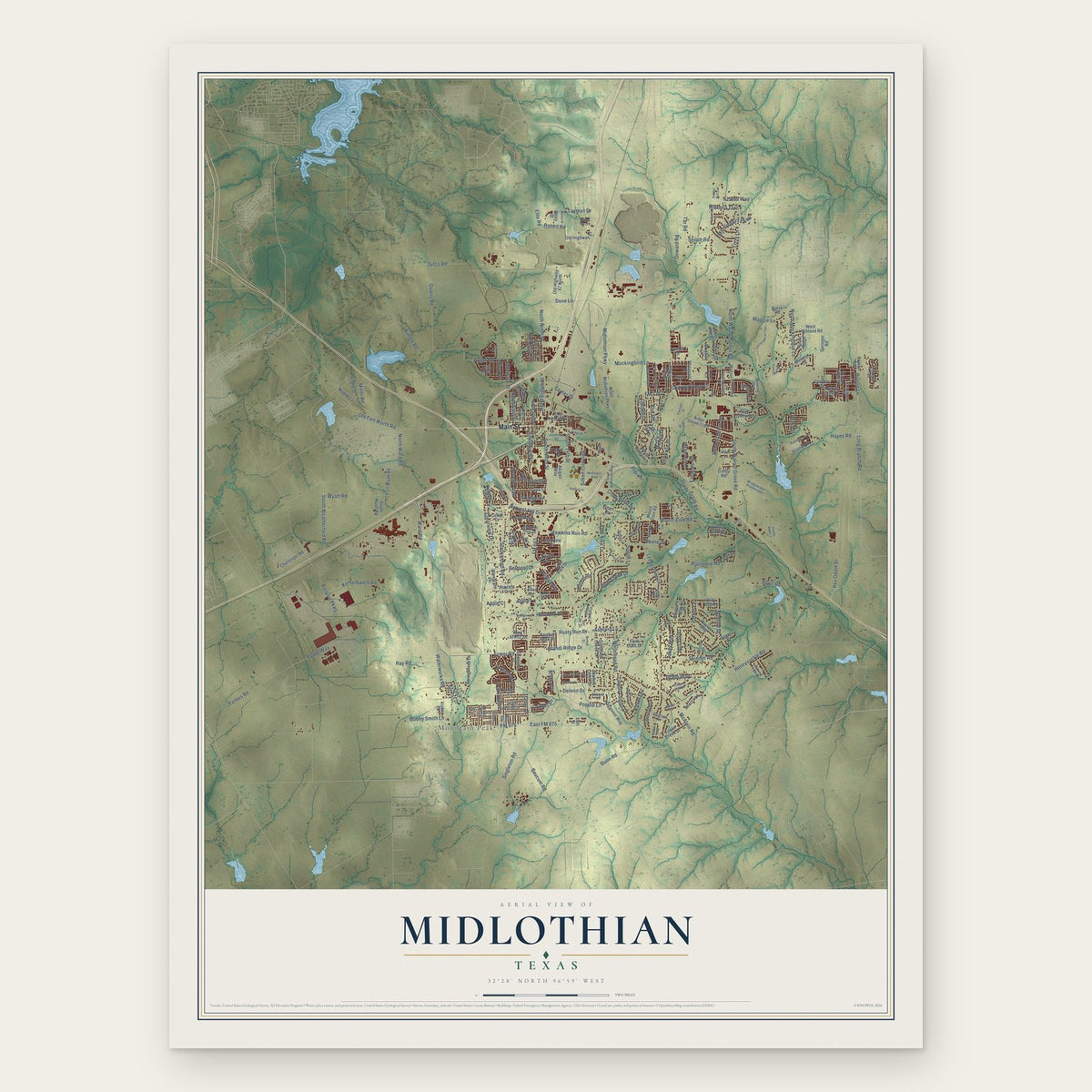
Building by building, with labeled streets and shaded relief.
12" x 18" Archival Matte Print
A Map of Home. A Work of Art.
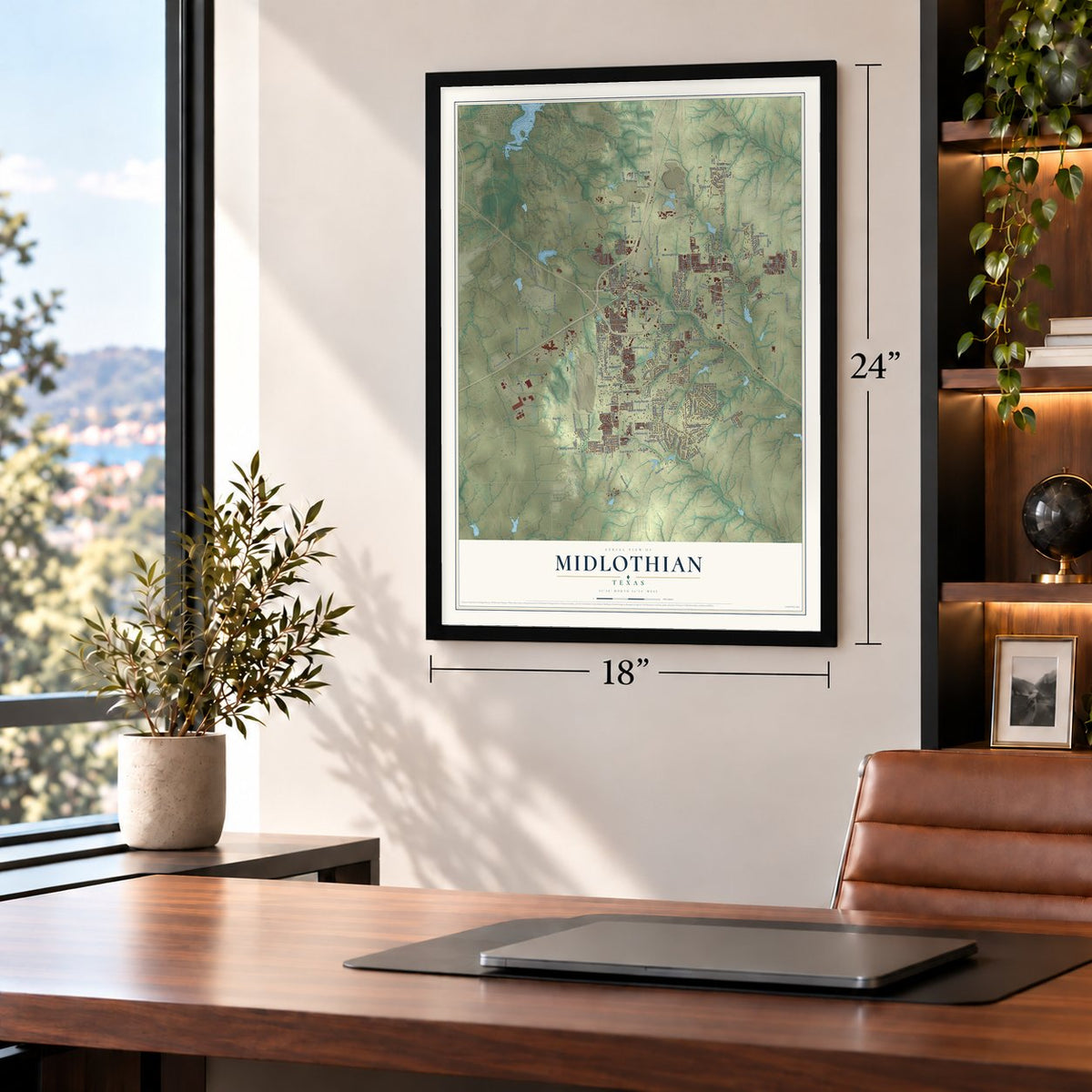
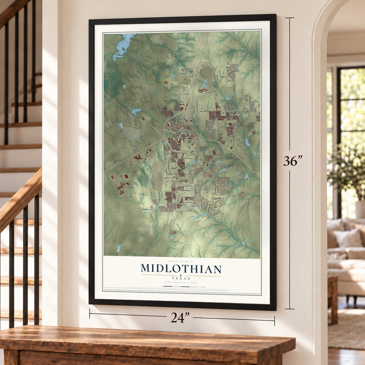
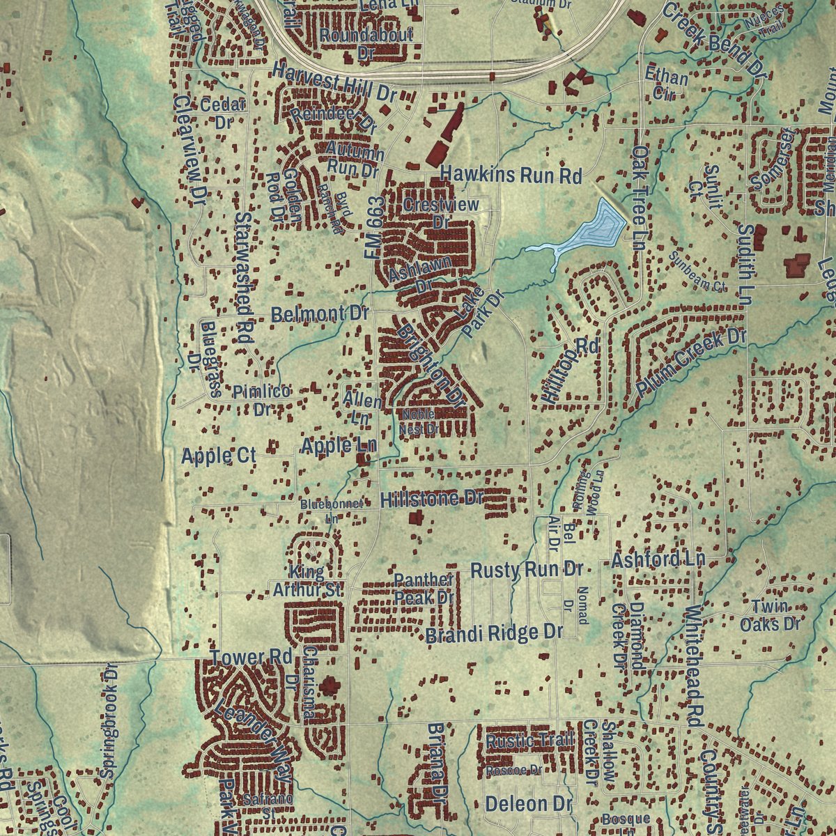
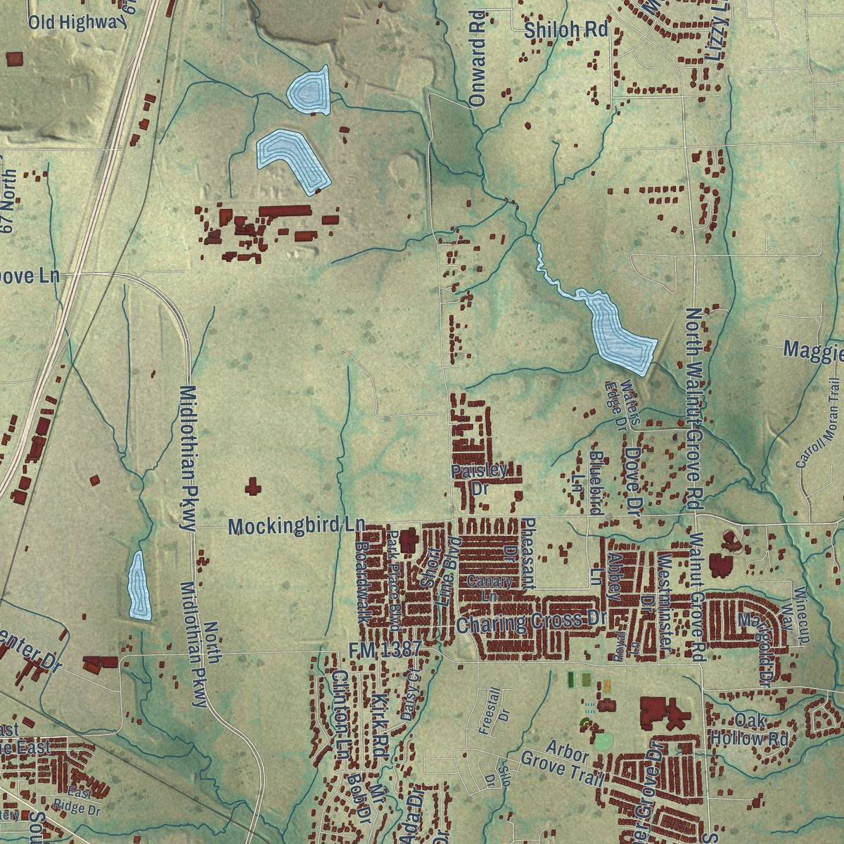
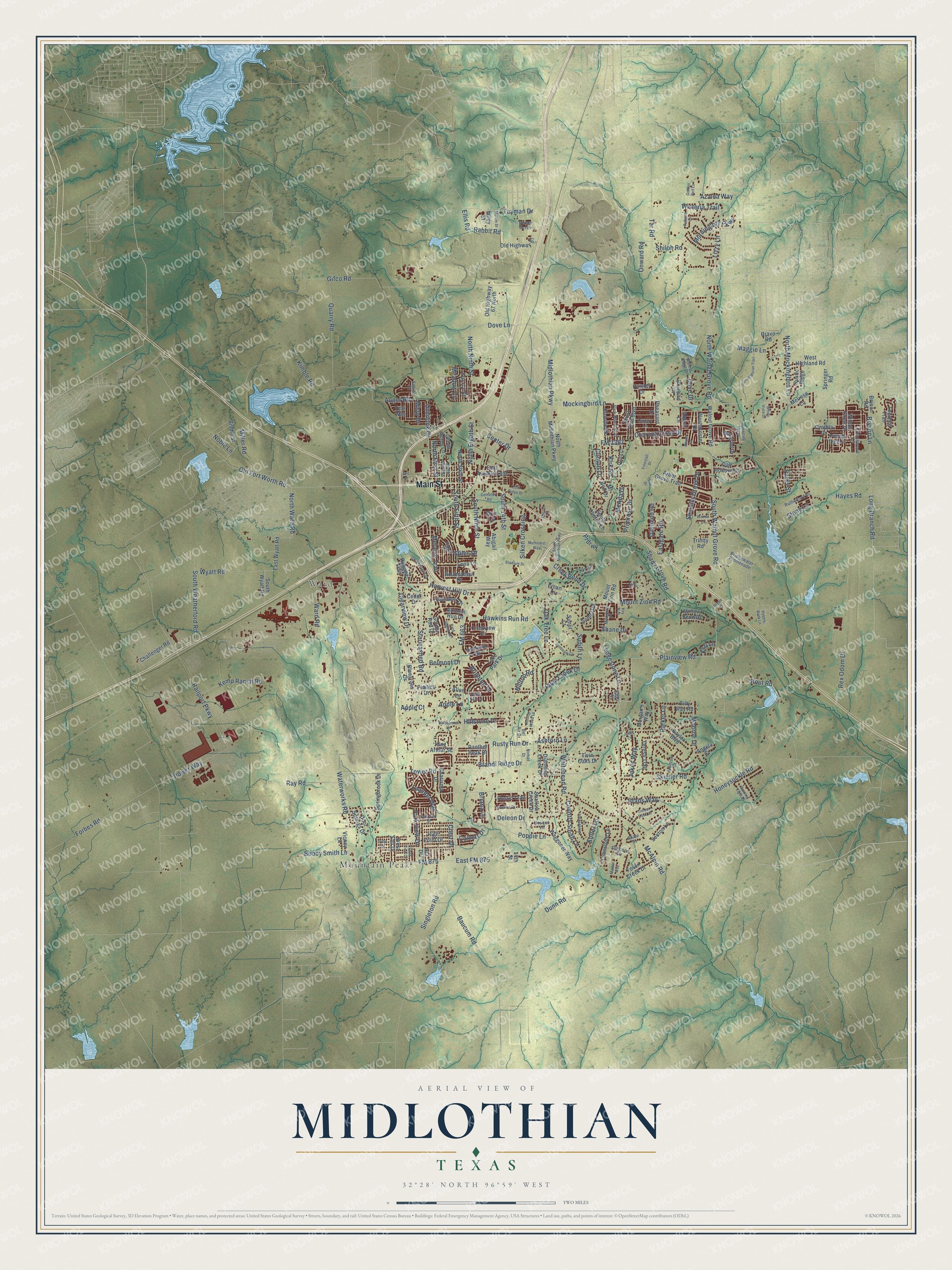
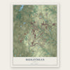
Explore Midlothian, Texas from a whole new perspective. Created using aerial imagery and detailed geographic data, this map captures Midlothian building by building, with labeled streets, familiar landmarks, and shaded topographical relief that highlights the natural contours of the landscape.
Combining modern data with the timeless character of a vintage atlas, this map is just as interesting up close as it is beautiful on the wall. Whether you grew up in Midlothian, spent memorable years there, or call it home today, this unique map is a great way to celebrate a place that means something to you. Zoom in on the preview to look for your street, and then order a print to put your memories on the wall.
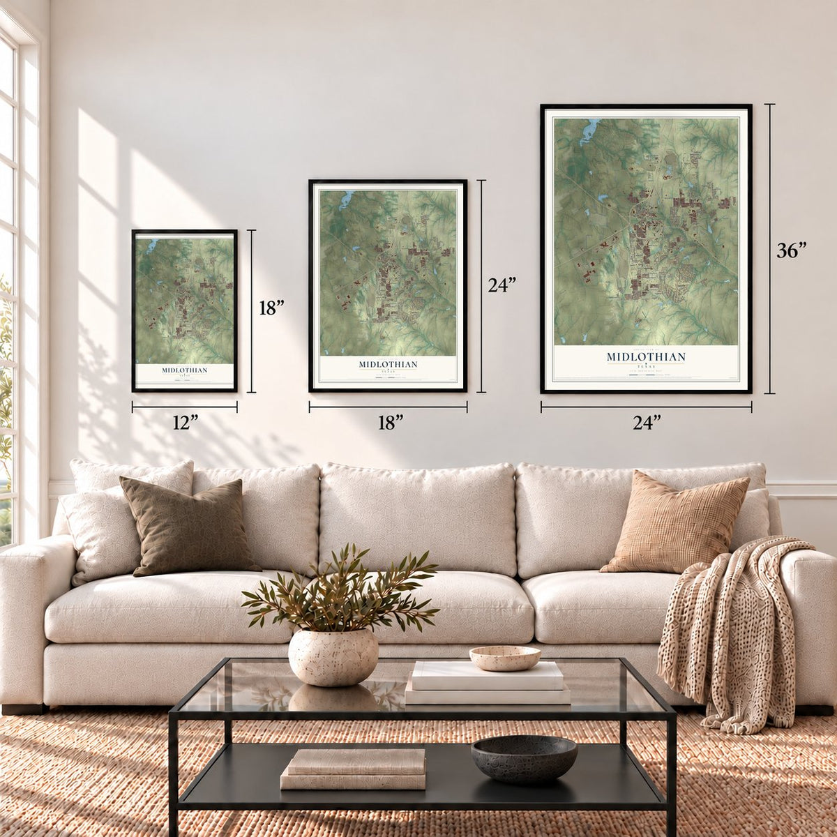
Three ways to hang it
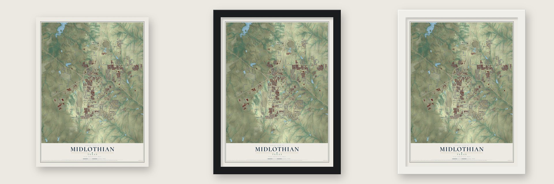
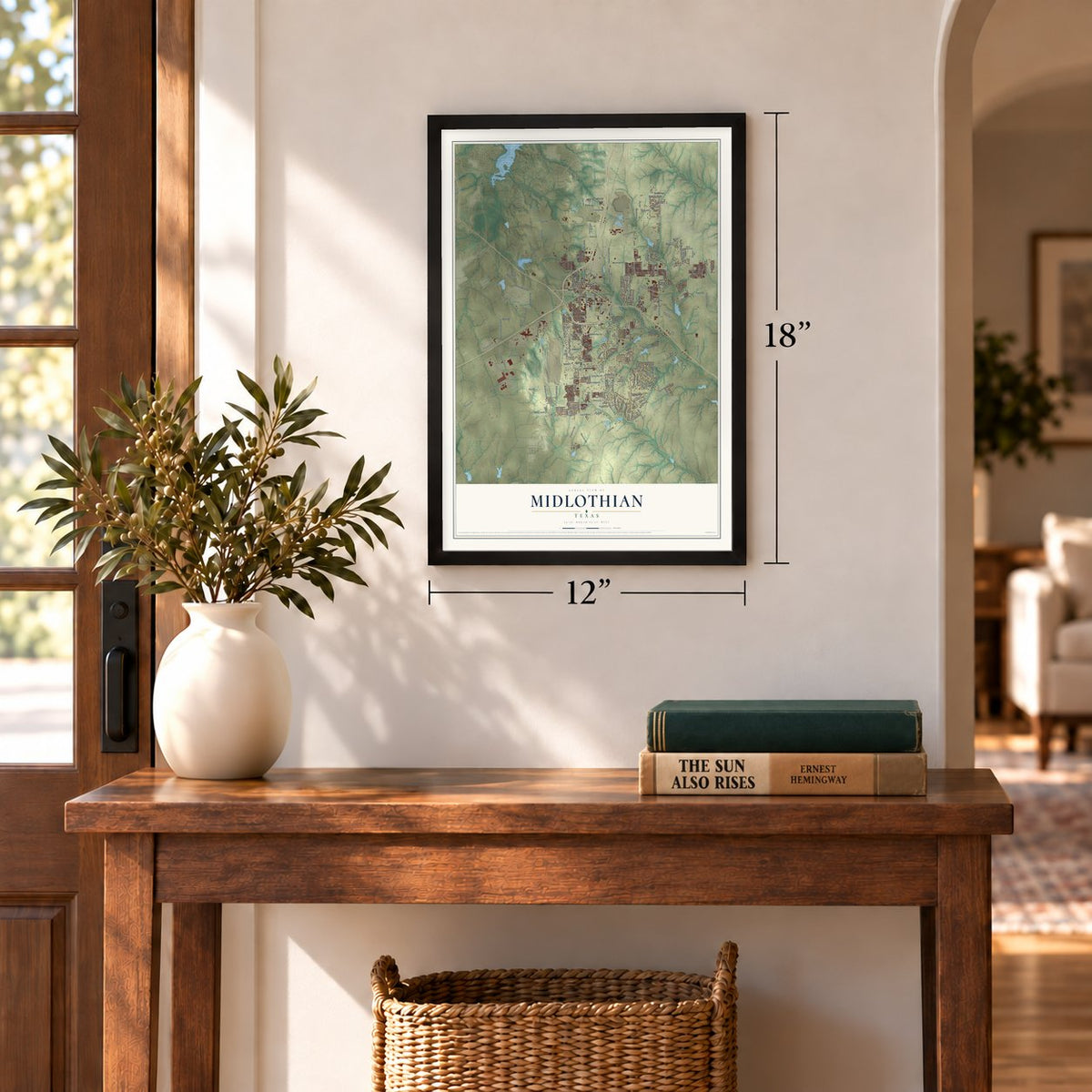
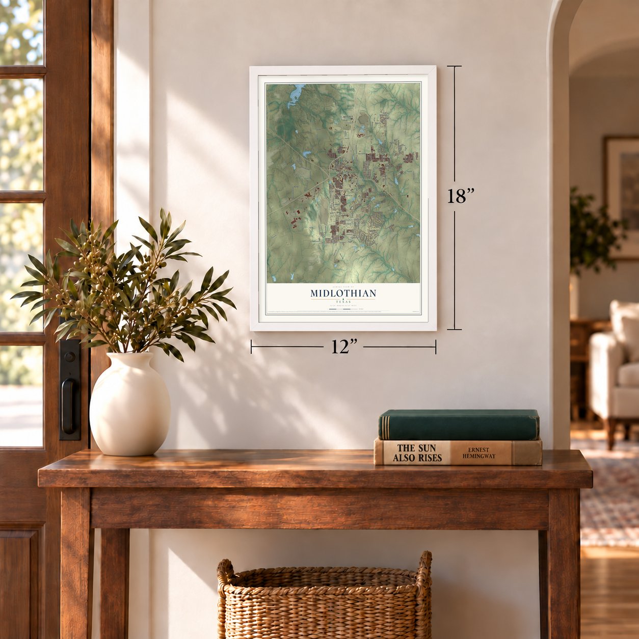
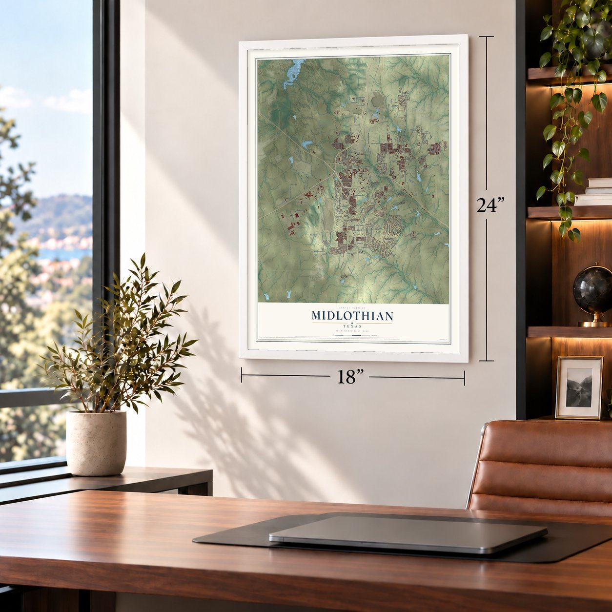
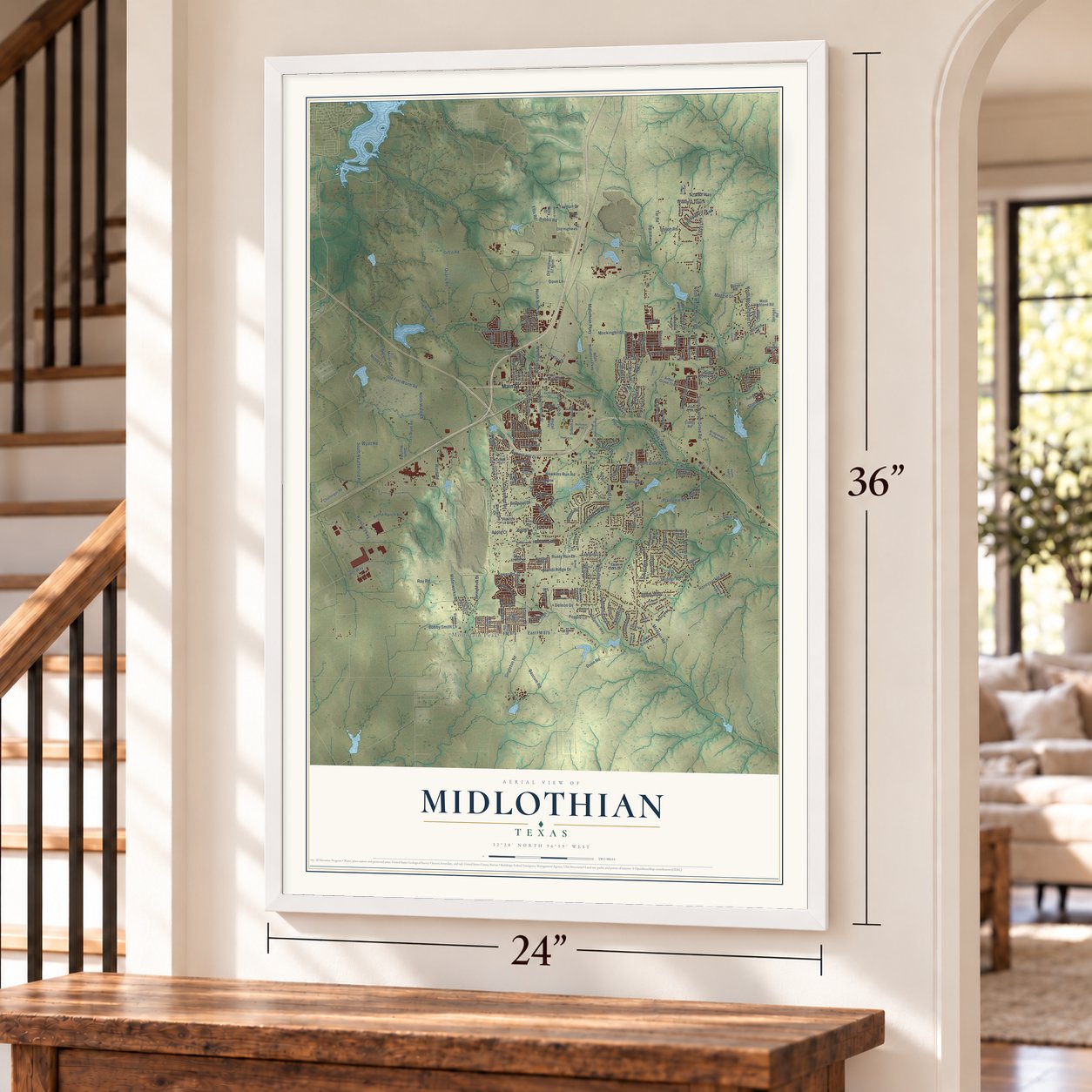
Unframed archival matte, a black wood frame or a white wood frame.
Up close
Geography Worth Displaying
This map was created using accurate cartographic data and authoritative geographic sources, including the U.S. Geological Survey and the Census Bureau. The map brings together terrain, waterways, roads, and building detail. The majority of the streets are labeled, houses are accurately depicted, and the topography is derived from government sources. Combining local data with carefully composed color and shading leads to this beautifully detailed Midlothian artwork for your wall.
Rather than simply showing street outlines, we’ve included as many of the street names as we could reasonably fit on the map while keeping their names legible. Zoom in on the high resolution preview to see exactly what’s on the map. We truly set out to create a statement piece for anyone who loves Midlothian. So whether it’s for you, or a gift for someone you love, we hope this map of Midlothian brings back fond memories.
Read the story behind this map of Midlothian, Texas from 2026.
Find your street
Names on the Midlothian map
Every name below is printed on this map. Look for your street, your school, the park where you played, or the pond down the road.
Places and landmarks2
- Ward
- Mountain Peak
Streets and roads249
- Main Street
- Plainview Road
- Midlothian Parkway
- East FM 875
- Shiloh Road
- Mockingbird Lane
- North Ninth Street
- North Walnut Grove Road
- South Walnut Grove Road
- Oak Tree Lane
- Ledgestone Lane
- Prdrwy
- Dove Lane
- Ashford Lane
- Ellis Road
- Rabbit Road
- FM 1387
- FM 663
- South 14th Street
- Waterworks Road
- Onward Road
- McAlpin Road
- Gifco Road
- Mount Zion Road
- Old Fort Worth Road
- Kimble Road
- Sudith Lane
- Tower Road
- FM 875
- Stout Road
Show all 249 streets
- Hayes Road
- Quarry Road
- Railport Parkway
- Starwashed Road
- Auger Road
- Singleton Road
- Skinner Road
- Shady Grove Road
- Plum Creek Drive
- South Ninth Street
- Forbes Road
- Honeysuckle Road
- South Fifth Street
- Rex Odom Drive
- Poppie Lane
- Miller Road
- Baucum Road
- South Weatherford Road
- Summer Grove Drive
- Hawkins Run Road
- Monroe Drive
- Power Way
- Whitehead Road
- Apple Lane
- Clearview Drive
- Overlook Drive
- Belmont Drive
- Parker Lane
- Ward Road
- Brandi Ridge Drive
- Tayman Drive
- Wyatt Road
- North Mockingbird Lane
- Kemp Ranch Road
- Long Branch Road
- Bobby Smith Lane
- Tar Road
- Center Drive
- North Eighth Street
- Maggie Lane
- Morninglory Parkway
- Azalea Way
- Country South Lane
- Brads Way
- Eastgate Road
- Bryson Lane
- Creek Bend Drive
- Silken Crossing
- Wisteria Trail
- Ray Road
- North Ward Road
- Charing Cross Drive
- Harvest Hill Drive
- Melanie Trail
- Hillstone Drive
- McAda Drive
- Rusty Run Drive
- Leander Way
- Kolter Lane
- Jakes Way
- North First Street
- Stiles Drive
- Shane Drive
- Dividend Road
- Primrose Drive
- Stone Lane
- Clinton Lane
- Park View Drive
- Dunn Road
- Briana Drive
- Brighton Drive
- Apple Court
- Meadow Lane
- Kirk Road
- Lizzy Lane
- Yucca Street
- Deleon Drive
- Hilltop Road
- Noble Lane
- Calvert Drive
- Misty Drive
- Dove Drive
- Crest Drive
- Keri Lane
- Parks Street
- North Midlothian Parkway
- Walnut Grove Road
- East Avenue East
- North Sixth Street
- Old Highway 67
- Shallow Creek Drive
- Arbor Grove Trail
- South Clinton Lane
- Springbrook Drive
- East Wyatt Road
- Bryson Road
- Boardwalk
- Limestone Lane
- West Fall Drive
- Fossil Creek Drive
- Waggoner Way
- West Highland Road
- Seeton Lane
- Mr Bob Drive
- Reindeer Drive
- Bluegrass Drive
- Diamond Creek Drive
- Old Highway 67 North
- Rustic Ridge
- Willow Bend Drive
- Baylor Boulevard
- Cool Springs Drive
- Short Line Boulevard
- Twin Oaks Drive
- Hill Drive
- Peach Tree Drive
- Westminster Drive
- Challenger Road
- Panther Peak Drive
- Abigail Way
- South Wyatt Road
- Roundabout Drive
- Willow Crest Drive
- Texanna Trail
- Rustic Trail
- King Arthur Street
- Teresa Trail
- Crestview Drive
- Springer Road
- Allen Lane
- Billy Ray Road
- Sunlit Court
- Pimlico Drive
- Cynthia Drive
- Marigold Drive
- Ethan Circle
- Golden Rod Drive
- Biddle Street
- High Point Drive
- Autumn Run Drive
- Oak Hollow Road
- Bravo Road
- Lake Park Drive
- Charisma Drive
- Somerset
- Morgan's Way
- Ashlawn Drive
- Teal Way
- Melrose Lane
- Trinity Road
- Rugged Trail
- Abbey Lane
- Pheasant Drive
- Paisley Drive
- Green Acres Lane
- Lena Lane
- Cedar Drive
- Bluebird Lane
- Vicney Lane
- Angela Court
- Wiley Street
- Skye Lane
- Emo Street
- 14th Street
- Pecan Acres
- Park Place Boulevard
- Bridgewater Promenade
- Bel Air Drive
- Waters Edge Drive
- Rutherford Drive
- Daisy Court
- North Third Street
- Branchwood Drive
- Monroe Court
- Sabine Drive
- Winecup Way
- Meridian Place
- Canary Lane
- Safrano Street
- Siltstone Circle
- Ridge Drive
- Bosque Lane
- Pine Drive
- Shale Street
- Windy Vista Drive
- South Midlothian Parkway
- Carroll Moran Trail
- Sweetwater Drive
- Walnut Lane
- Stadium Drive
- Timber Rock Lane
- Chuckwagon Drive
- Byrd Ranch Road
- Rolling Wood Lane
- Sunbeam Court
- Cemetery Road
- Golden Bell Lane
- Bluebonnet Lane
- Methodist Way
- Noble Nest Drive
- Nomad Drive
- Nueces Trail
- East Ridge Drive
- Roberts Lane
- Melvin Street
- Morning Light Drive
- Royal Lane
- Roscoe Drive
- Vista View Drive
- Pebble Bank Lane
- Freestall Drive
- Murray Street
- Jakes Court
- Key Way
- Marble Way
- Bryan Place
- Silo Drive
- Vall Vis
- Eric Street
Names are listed as they appear on the printed map. Zoom into the product photos to find them.
About Midlothian, Texas
Midlothian is a city of 35,125 people in Ellis County, nine miles northwest of Waxahachie. In 1848 two families, those of William Alden Hawkins and Larkin Newton, gained permanent title to land here under the Peters colony. The settlement came to be called Hawkins' Springs, after a spring on the Hawkins land, and a log cabin with a dirt floor served as its school, church and meeting hall. A post office named Barker, probably for Charles Barker, opened in 1877.
The Gulf, Colorado and Santa Fe Railway chose the community for its planned line, and the tracks arrived in 1883. Around that time the name changed to Midlothian, and most accounts say a Scottish train engineer suggested it after a place in his homeland. By 1884 the town had 300 people, two churches, a district school and its own paper, the Midlothian News. It was incorporated in April 1888.
- A house before the deadlineTo claim his 640 acres from the Peters Colony, Hawkins had until July 1, 1848, to put up a house on the land he had chosen, close to where Waxahachie Creek empties. He finished in time. So did Larkin Newton, who had brought his wife Mary and their children from Missouri. In 1903 the founder's grandson, William Larkin Hawkins, put up a home that is now a Recorded Texas Historic Landmark, the William L and Emma Hawkins House.
- A busy cotton town by 1896By 1892 the business district held at least twenty-five firms, among them two cotton gins, a hotel, a bakery, a livery stable and a weekly paper called the Visitor. Four years later the town had 1,000 people and sixty-two businesses. The Midlothian Oil Mill and Gin opened in 1898 as a three-press mill and grew to run fourteen gins at its peak.
- A school for the fine artsThe Polytechnic Academy, later called the Polytechnic Institute, was a private boarding school that taught a full course of study with a focus on the fine arts. It later went by Whitten Institute and then Midlothian College. In 1903 it became part of the public schools, and a Texas historical marker now stands on its site in Kimmel Park.
- Cement Capitol of TexasCotton and cattle carried the local economy before the Great Depression. Cement changed the town later, because the Austin Chalk Escarpment runs north to south right through it. By the 1980s Midlothian called itself the "Cement Capitol of Texas." Three of the largest cement plants in the nation operate here today, next to a big steel mill.
Keep exploring Texas
Midlothian is one of 2,049 Texas towns we've mapped. Every dot on the map is a print of its own.
The search covers every state, Texas first.
Near Midlothian
Order 2 or more town maps and save 10%. Shown in the size and finish you picked above, so they hang as a set.
- Venus 12" x 18" / Archival Matte Print $39.99
- Ovilla 12" x 18" / Archival Matte Print $39.99
- Cedar Hill 12" x 18" / Archival Matte Print $39.99


More maps nearby: Oak Leaf, Waxahachie, Glenn Heights, The Homesteads and Mansfield.
The art of mapping a place
How This Map Was Made
Real places. Remarkable detail. Discover the layers that turn geographic data into a map of home.

The view from above
Aerial imagery reveals the character of the land: woodland, open fields, and the patterns of a place.

The shape of the land
Elevation data brings hills, valleys, and subtle changes in the landscape into view.

The details of home
Roads, waterways, and building footprints come together to make the map feel unmistakably local.

Geography becomes art
Considered color, shading, and typography bring the layers together in a map made for your wall.


Process illustrated with Mendon, Massachusetts. Aerial imagery: USDA NAIP. Terrain: USGS 3D Elevation Program. Map details and finished artwork: KNOWOL.
The Details
About This Print
Choose an archival matte print, or a black or white Ayous wood frame. The archival matte print is unframed.
Select your size and finish above to see the matching product image and price.
Materials & Craftsmanship
A contemporary map with the character of a classic atlas, printed on archival matte paper. Optional frames are made from Ayous wood.
Your printed map does not include the watermark shown in the full-map preview.
Shipping & Delivery
Free shipping within the United States. Every print is made to order in the USA.
Buying a gift? Add a note in your cart and we'll include it. We never put prices in the package.
Prints ship within 2 to 3 business days. Allow 7 to 10 days total from ordering for delivery. Timing may vary during holidays or periods of high order volume.
Read our shipping policy.
Returns and damaged prints
Each print is made to order. Change-of-mind refunds are not available after production.
If your print arrives damaged, misprinted or incorrect, contact support@knowol.com within 30 days of receiving it. Include your order number, photos and a description of the issue.
Read our full refund and replacement policy. For questions about your order, email support@knowol.com.