
Search for another town


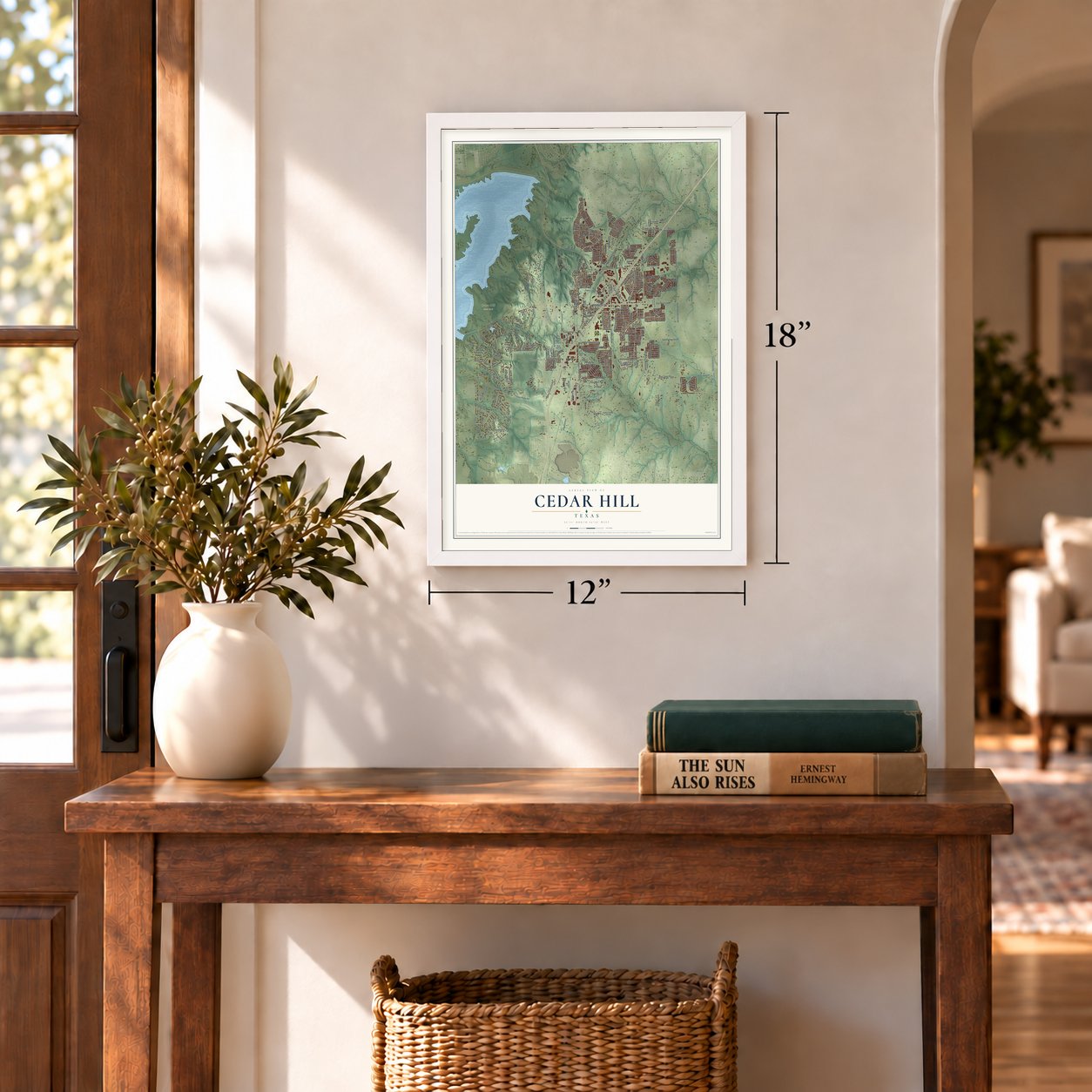
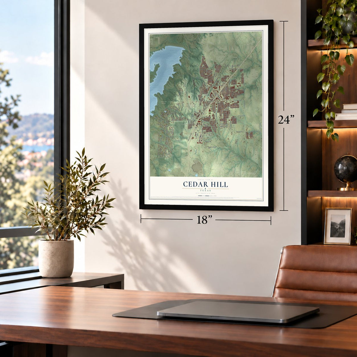
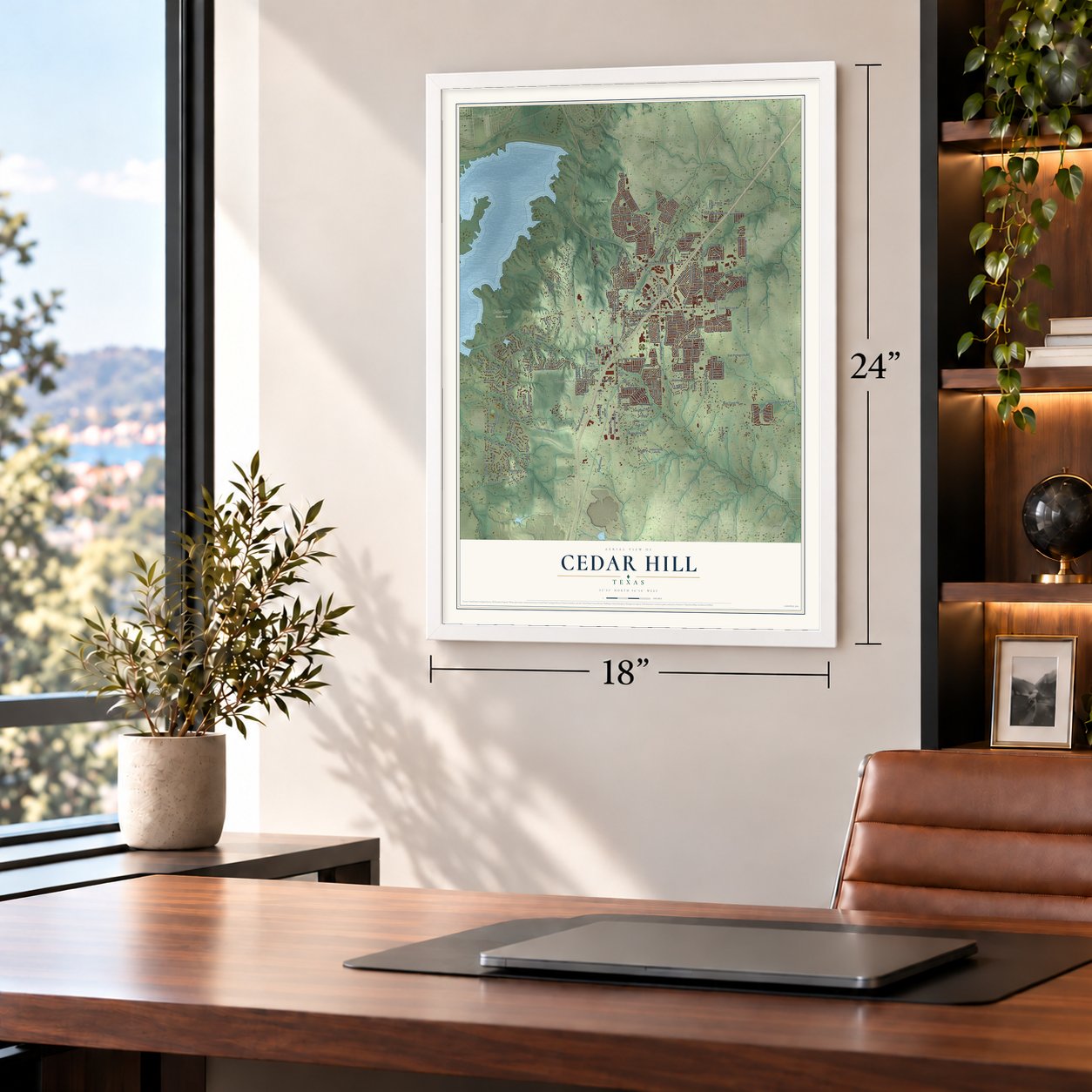

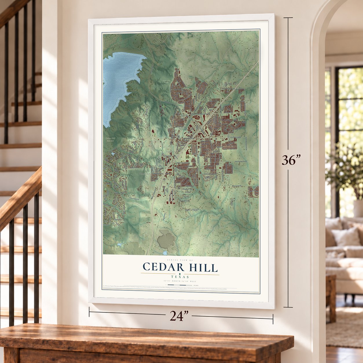

Free U.S. delivery 7 to 10 days after you order
Cedar Hill, Texas Map Art
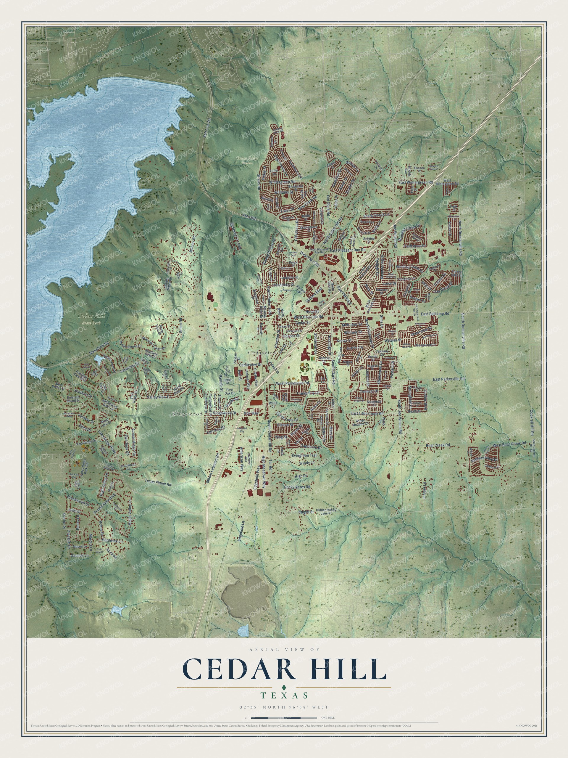
A new map of Cedar Hill, Texas, made in 2026 and printed to order on thick archival matte paper.
12" x 18" Archival Matte Print
A Map of Home. A Work of Art.
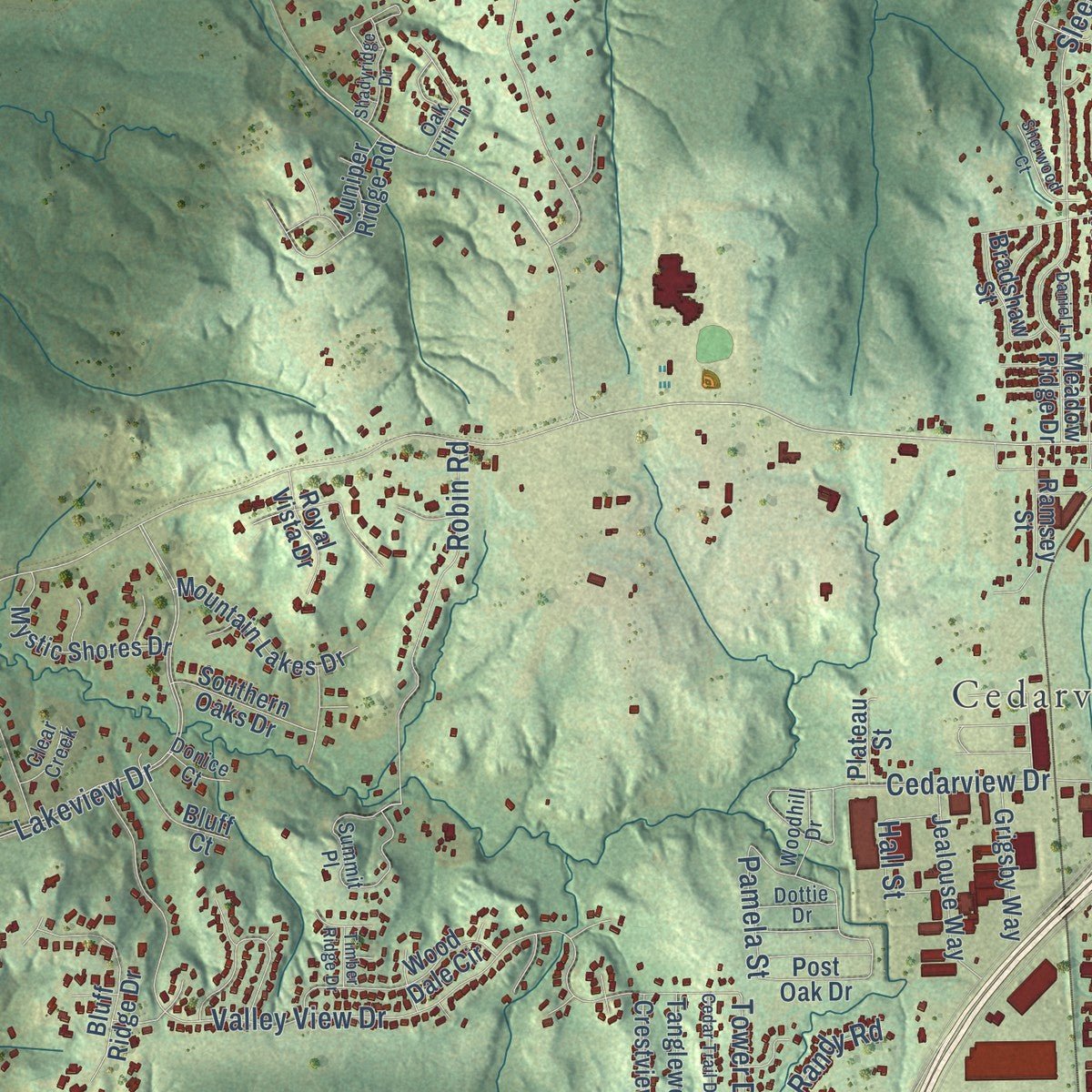
This beautifully detailed map of Cedar Hill, Texas was created in 2026 using aerial imagery combined with modern topographical, census, street and landmark data. It's a modern aerial view of Cedar Hill in Dallas County, Texas, that combines modern data with a vintage aesthetic. Zoom in on the preview and look for your block.
Three ways to hang it
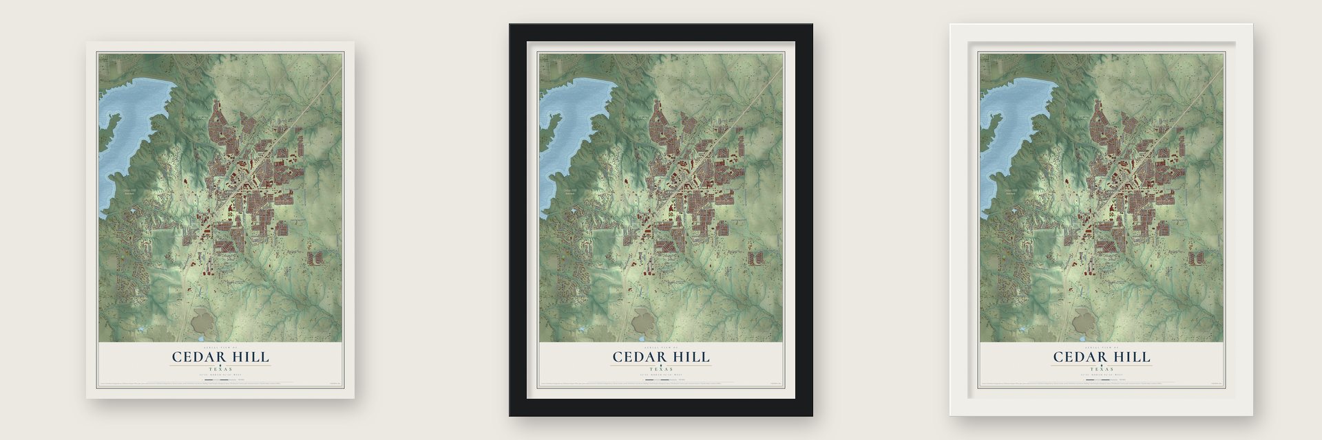
Unframed archival matte, a black wood frame or a white wood frame.
Up close
Real geography. Art worth displaying.
This map was created using accurate cartographic data and authoritative geographic sources, including the U.S. Geological Survey and the Census Bureau. The map brings together terrain, waterways, roads, and building detail. The majority of the streets are labeled, houses are accurately depicted, and the topography is derived from government sources. Combining local data with carefully composed color and shading leads to this beautifully detailed Cedar Hill artwork for your wall.
Rather than simply showing street outlines, we’ve included as many of the street names as we could reasonably fit on the map while keeping their names legible. Zoom in on the high resolution preview to see exactly what’s on the map. We truly set out to create a statement piece for anyone who loves Cedar Hill. So whether it’s for you, or a gift for someone you love, we hope this map of Cedar Hill brings back fond memories.
Read the story behind this map of Cedar Hill, Texas from 2026.

About Cedar Hill, Texas
Cedar Hill occupies rolling terrain in southwestern Dallas County, near Joe Pool Lake and Cedar Hill State Park. Founded in the 1850s, the community grew from 500 residents in 1890 to a 2020 census population of 49,148.
- An 1850s BeginningFounded in the 1850s, Cedar Hill received a post office in 1852.
- Chisholm Trail BranchA branch of the Chisholm Trail crossed the area and joined the main route near Fort Worth.
- The 1856 TornadoIn 1856, a tornado killed nine people and destroyed most of the small community's buildings and homes.
- Five Historic HousesFive Cedar Hill houses appear on the National Register of Historic Places.
- State Park LandscapeOpened in 1991, Cedar Hill State Park covers 1,826 acres beside Joe Pool Lake.
Find your street
Names on the Cedar Hill map
Every name below is printed on this map. Look for your street, your school, the park where you played, or the pond down the road.
Places and landmarks4
- Kingswood
- Cedarview
- Cedar Hill State Park
- Cedar Ridge Preserve
Streets and roads291
- South Clark Road
- West Belt Line Road
- New Clark Road
- East Belt Line Road
- North Duncanville Road
- Texas Plume Road
- East FM 1382
- Lake Ridge Parkway
- Joe Wilson Road
- South Joe Wilson Road
- Belt Line Road
- West FM 1382
- Straus Road
- South Duncanville Road
- South Cannady Drive
- High Valley Lane
- East Pleasant Run Road
- Oak Creek Drive
- Bosher Drive
- FM 1382
- Lakeview Drive
- North Cedar Hill Road
- East Parkerville Road
- Wintergreen Road
- Prairie View Boulevard
- Mansfield Road
- Tar Road
- Valley View Drive
- West Parkerville Road
- Weaver Street
Show all 291 streets
- Mount Lebanon Road
- High Pointe Lane
- Governor's Loop
- South Cedar Hill Road
- Creekwood Drive
- Capricorn Drive
- Uptown Boulevard
- West Bear Creek Road
- Mobley Road
- Bear Creek Road
- East Little Creek Road
- Stonewood Drive
- Old Clark Road
- Sleepy Hollow Drive
- Tranquility Lane
- Calvert Drive
- Robin Road
- Shady Brook Lane
- Edgefield Way
- High Meadows Way
- Trees Drive
- Windy Lane
- Somerset Drive
- Edgefield Lane
- Cedar Street
- Houston Street
- Whitney Street
- Cockrell Hill Road
- Sims Drive
- Magic Valley Lane
- Cedarview Drive
- Sunset Ridge Circle
- Williams Street
- Cooper Street
- Lisa Lane
- Sonterra Drive
- Hardwick Lane
- Saturn Drive
- East Wintergreen Road
- Lowe Drive
- Pickard Drive
- Evergreen Trail
- High Drive
- Kenya Street
- Fairway Drive
- Meandering Drive
- Kingswood Drive
- Overlook Circle
- Bray Street
- Summers Drive
- Old Straus Road
- North Roberts Road
- Wooded Creek Drive
- Alyssum Drive
- Juniper Lane
- Marcus Lane
- Kari Ann Drive
- Kristi Lane
- Springfield Drive
- Twilight Drive
- Rohne Drive
- American Way
- Winding Creek Drive
- Lemons Street
- Justice Drive
- Finley Street
- Summerwood Drive
- Randy Road
- Hamilton Drive
- Becky Lane
- Rocky Acres Road
- Essex Drive
- Lee Street
- McKinley Street
- Gibson Street
- Hall Street
- South Loop Drive
- Hastings Drive
- Hendricks Street
- Eden Drive
- Clement Drive
- Holly Lane
- Aries Court
- Waterview Drive
- Baker Drive
- Fieldstone Drive
- Gannon Lane
- Hayes Street
- King Street
- Collins Boulevard
- Glacier Lane
- Brewer Drive
- Tower Drive
- Pamela Street
- Mars Drive
- Kck Way
- Lay Street
- Hood Street
- Knight Street
- Rockies
- Kimmel
- West Wintergreen Road
- North Clark Road
- Valley Ridge Park Road
- Neptune Drive
- Shields Avenue
- Pondview Drive
- North Cannady Drive
- Cannady Circle
- Meadow Ridge Drive
- Wood Dale Circle
- Juniper Ridge Road
- Fountain View Boulevard
- Tidwell Street
- Texas Street
- Matterhorn Street
- Bluff Ridge Drive
- Green Pastures Drive
- Tuley Street
- Mystic Shores Drive
- Mountain Lakes Drive
- Jealouse Way
- Hidden Valley Lane Pr
- Park Ridge Drive
- Emerald Sound Drive
- Balfour Drive
- Post Oak Drive
- Golden Pond Drive
- Venus Street
- Tanglewood Drive
- Fuller Drive
- Larue Drive
- Shadywood Drive
- Windy Meadow Drive
- Grigsby Way
- Mason Lane
- Maplegrove Drive
- Breseman Street
- Plateau Street
- Southern Oaks Drive
- Bradshaw Street
- Whispering Oaks Cv
- Elise Street
- Steadman Drive
- Wells Court
- Wood Lake Drive
- Crestview Drive
- Pioneer Trail
- Wolfe Street
- Beatty Drive
- Bluff Court
- Koscher Drive
- Royal Vista Drive
- Briggs Drive
- Langston Street
- Stewart Street
- Longleaf Drive
- Astoria Drive
- Briarwood Cv
- Fox Glenn
- Sand Dollar Court
- Ramsey Street
- Chamblin Drive
- Hilltop Drive
- Antoine Street
- Bryan Place
- Stoney Hills Drive
- White Drive
- Terrace Lane
- Pogue Street
- Beverly Circle
- Payne Street
- Boyd Street
- Oak Tree Cv
- Couch Lane
- Dawson Street
- Wood Lane
- Willis Drive
- North Main Street
- Bentle Court
- Peak Street
- Pecan Trail
- Alden Drive
- Linda Lane
- Lake Cv
- Iris Lane
- Tangle Ridge Drive
- Stonewall Court
- South Cockrell Hill Road
- Summit Place
- Brookside Drive
- West Pleasant Run Road
- Freedom Way
- Ragland Drive
- Bending Oak Drive
- Mustang Court
- Valerie Drive
- Willow Lane
- Rosehill Lane
- Country View Road
- Hickerson Street
- Old Oak Drive
- Levee Lane
- Sherman Drive
- Hageman Lane
- Hickman
- Olympus Street
- Bentle Branch Lane
- Chadwick Drive
- Harvell Drive
- Cresthaven Drive
- Blue Chalk Drive
- Krantz
- Right Field Court
- Cross Creek Drive
- Woodhill Drive
- Birkshire Lane
- Cypress Bend
- Dottie Drive
- Webb Place
- Clear Creek
- Donice Court
- Ford Drive
- Oak Hill Lane
- Moss Drive
- Scott Drive
- North Waterford Oaks Drive
- Waterstone Drive
- Ranch View Drive
- Cedarwood Place
- Aries Street
- Beechwood Lane
- Glen Eagles Drive
- Meadow Crest Lane
- Cedar Trail Drive
- Town View Drive
- Glencrest Drive
- Cindy Drive
- Breezeway Court
- Madlynne Drive
- Shadyridge Drive
- Sullivan Drive
- Elliott Drive
- Ball Park Way
- Sherwood Court
- Timber Ridge Drive
- Daniel Lane
- Bentwater Parkway
- Industrial Way
- Charming Avenue
- Point View Drive
- Bailey Drive
- Copper Chase
- Willow Wood Drive
- Ranch Court
- Nance Drive
- Falcon Trail
- Walters Drive
- Short Street
- Parker Court
- Preston Trail
Names are listed as they appear on the printed map. Zoom into the product photos to find them.
The art of mapping a place
How This Map Was Made
Real places. Remarkable detail. Discover the layers that turn geographic data into a map of home.

The view from above
Aerial imagery reveals the character of the land: woodland, open fields, and the patterns of a place.

The shape of the land
Elevation data brings hills, valleys, and subtle changes in the landscape into view.

The details of home
Roads, waterways, and building footprints come together to make the map feel unmistakably local.

Geography becomes art
Considered color, shading, and typography bring the layers together in a map made for your wall.


Process illustrated with Mendon, Massachusetts. Aerial imagery: USDA NAIP. Terrain: USGS 3D Elevation Program. Map details and finished artwork: KNOWOL.
The Details
About This Print
Choose an archival matte print, or a black or white Ayous wood frame. The archival matte print is unframed.
Select your size and finish above to see the matching product image and price.
Materials & Craftsmanship
A contemporary map with the character of a classic atlas, printed on archival matte paper. Optional frames are made from Ayous wood.
Your printed map does not include the watermark shown in the full-map preview.
Shipping & Delivery
Free shipping within the United States. Every print is made to order in the USA.
Buying a gift? Add a note in your cart and we'll include it. We never put prices in the package.
Prints ship within 2 to 3 business days. Allow 7 to 10 days total from ordering for delivery. Timing may vary during holidays or periods of high order volume.
Read our shipping policy.
Returns and damaged prints
Each print is made to order. Change-of-mind refunds are not available after production.
If your print arrives damaged, misprinted or incorrect, contact support@knowol.com within 30 days of receiving it. Include your order number, photos and a description of the issue.
Read our full refund and replacement policy. For questions about your order, email support@knowol.com.
Find your town
Looking for another city?
Find a map of home in our Texas collection.
Nearby
Maps of towns near Cedar Hill
Know someone from one of these towns? Their map makes a great gift.
 Duncanville
, Texas
From $39.99See the map
 Ovilla
, Texas
From $39.99See the map
 DeSoto
, Texas
From $39.99See the map
More maps nearby: Glenn Heights, Grand Prairie, Oak Leaf, Midlothian and Mansfield.