
Search for another town
Free U.S. delivery 7 to 10 days after you order
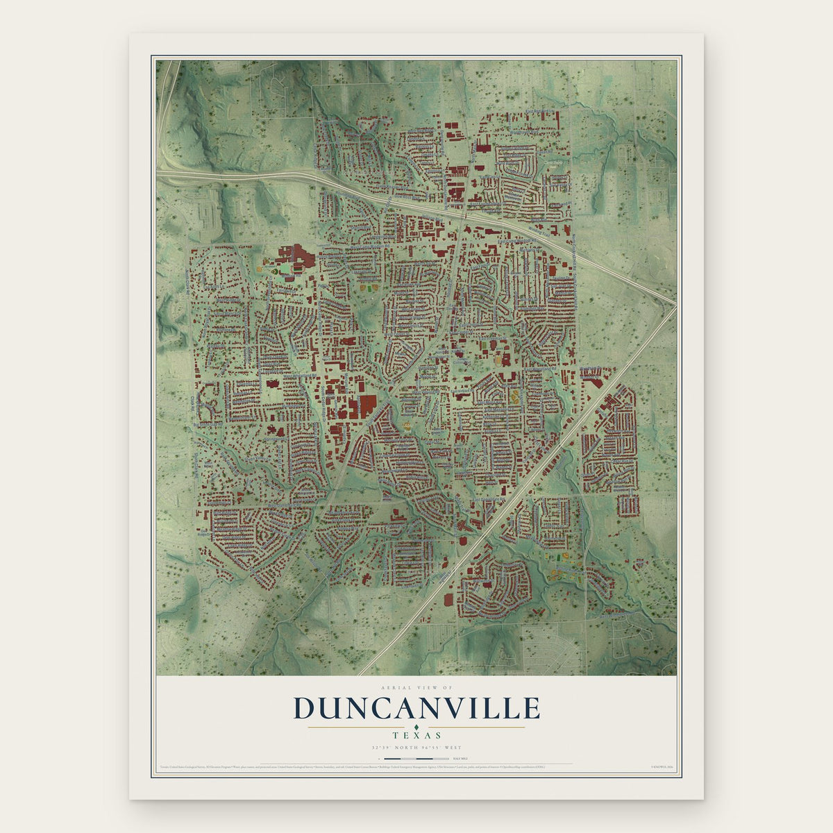
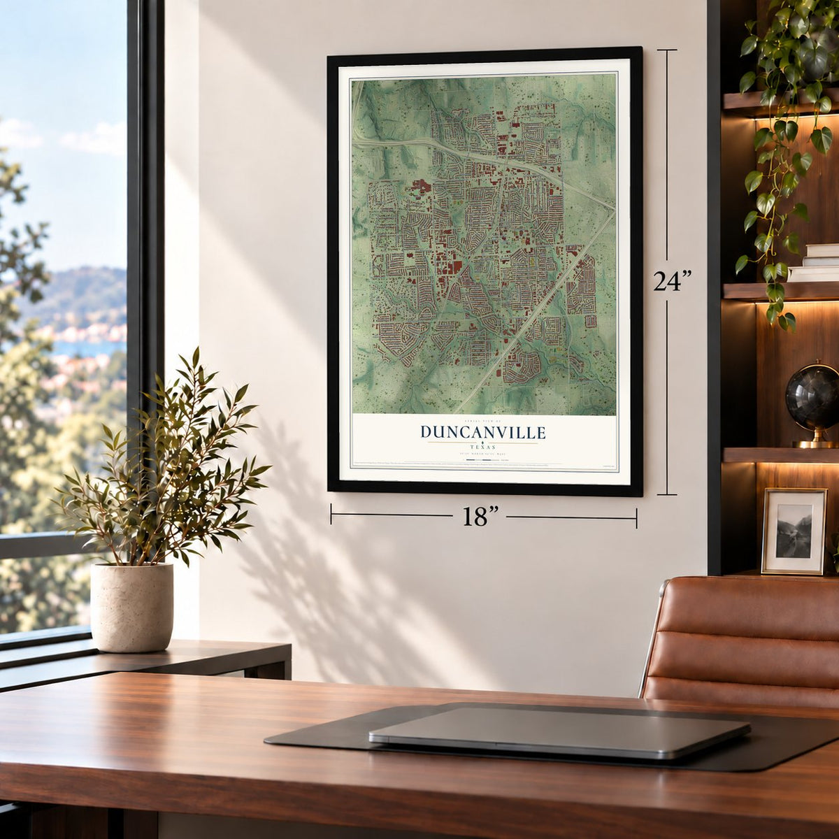
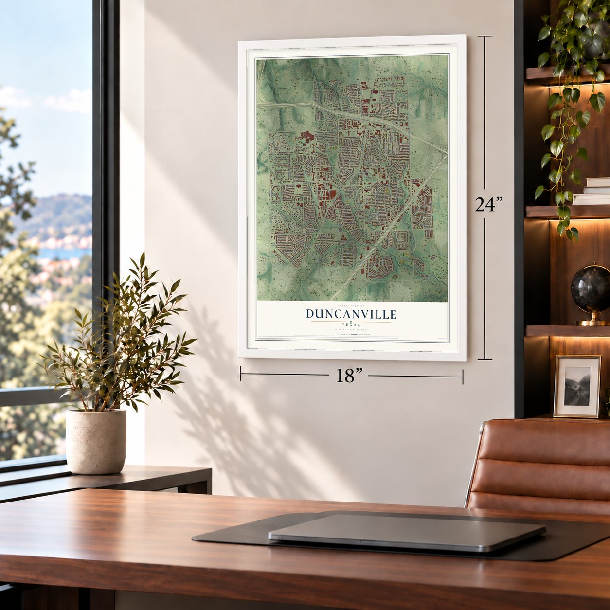
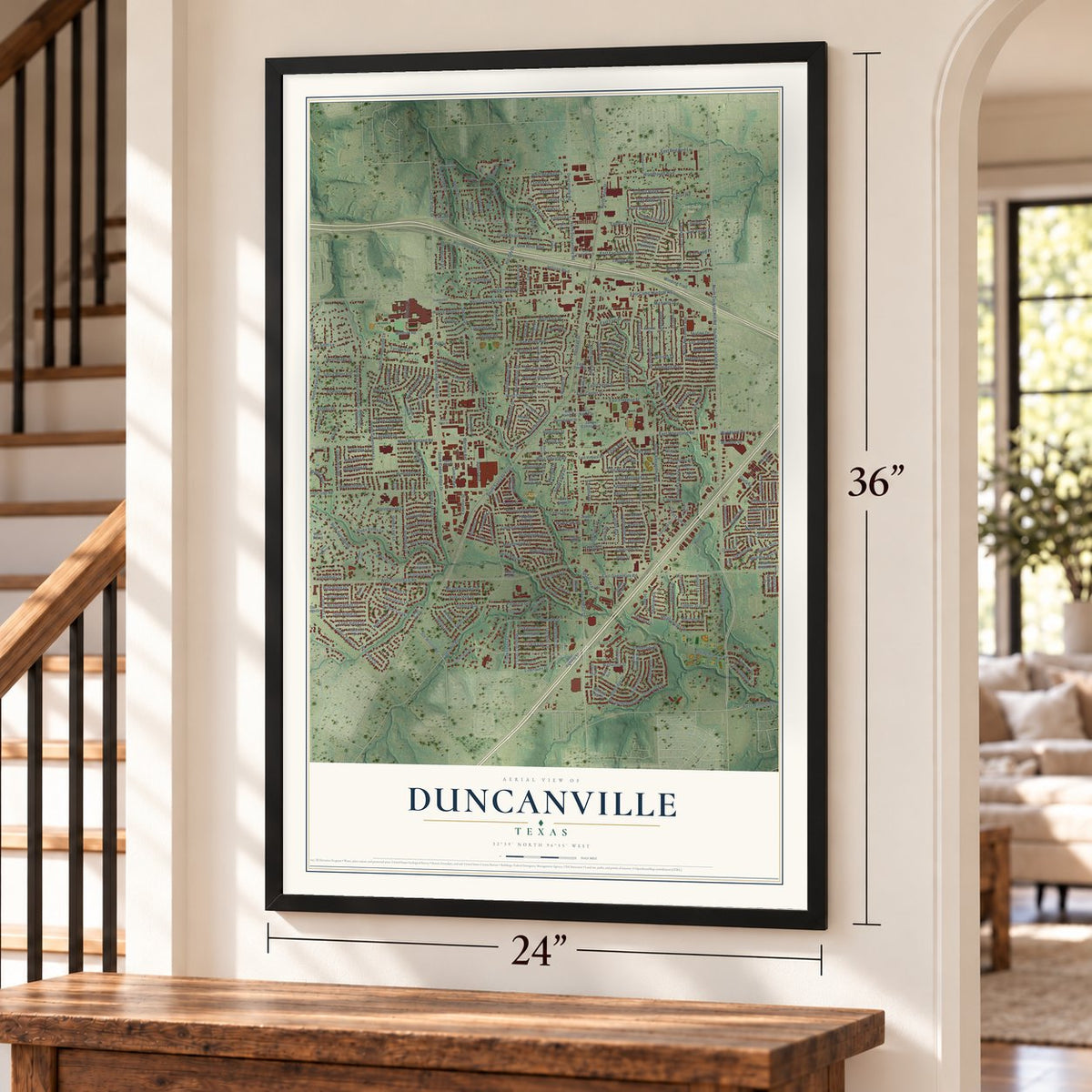
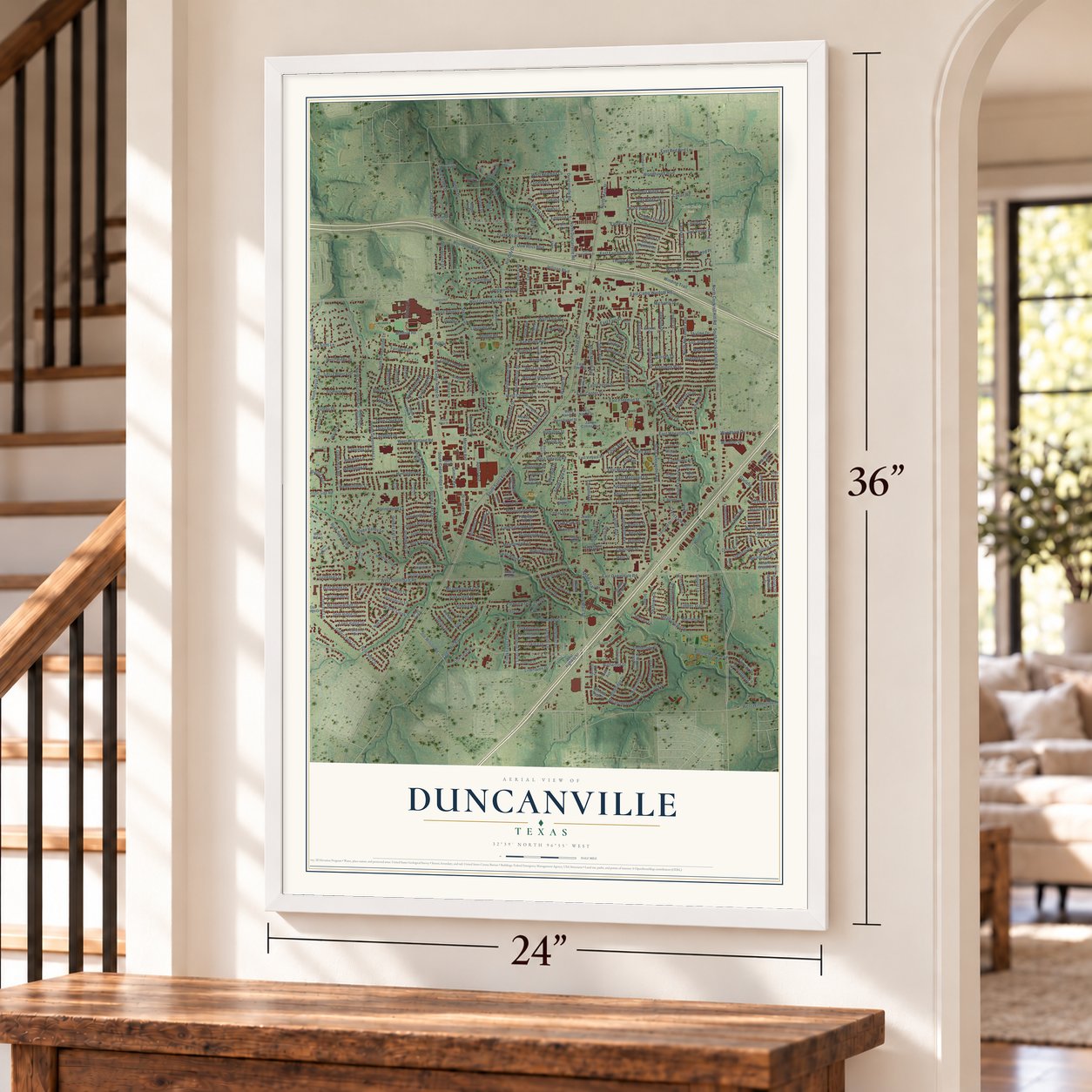
Duncanville, Texas Map Art
Building by building, with labeled streets and shaded relief.
12" x 18" Archival Matte Print
A Map of Home. A Work of Art.
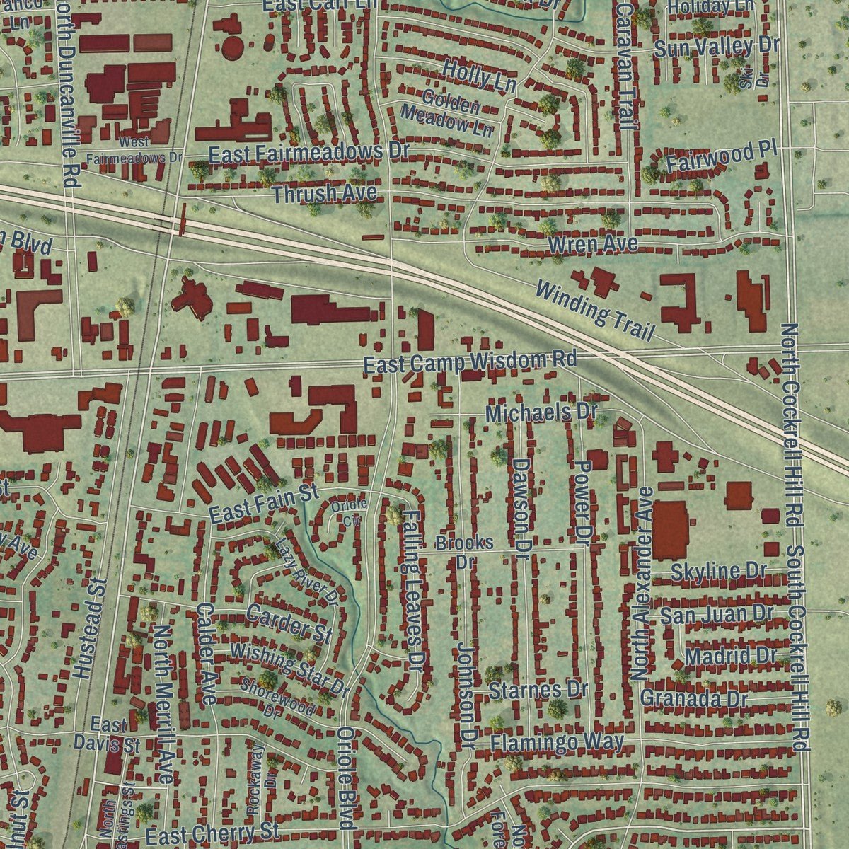
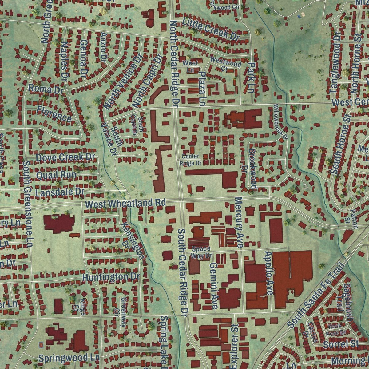
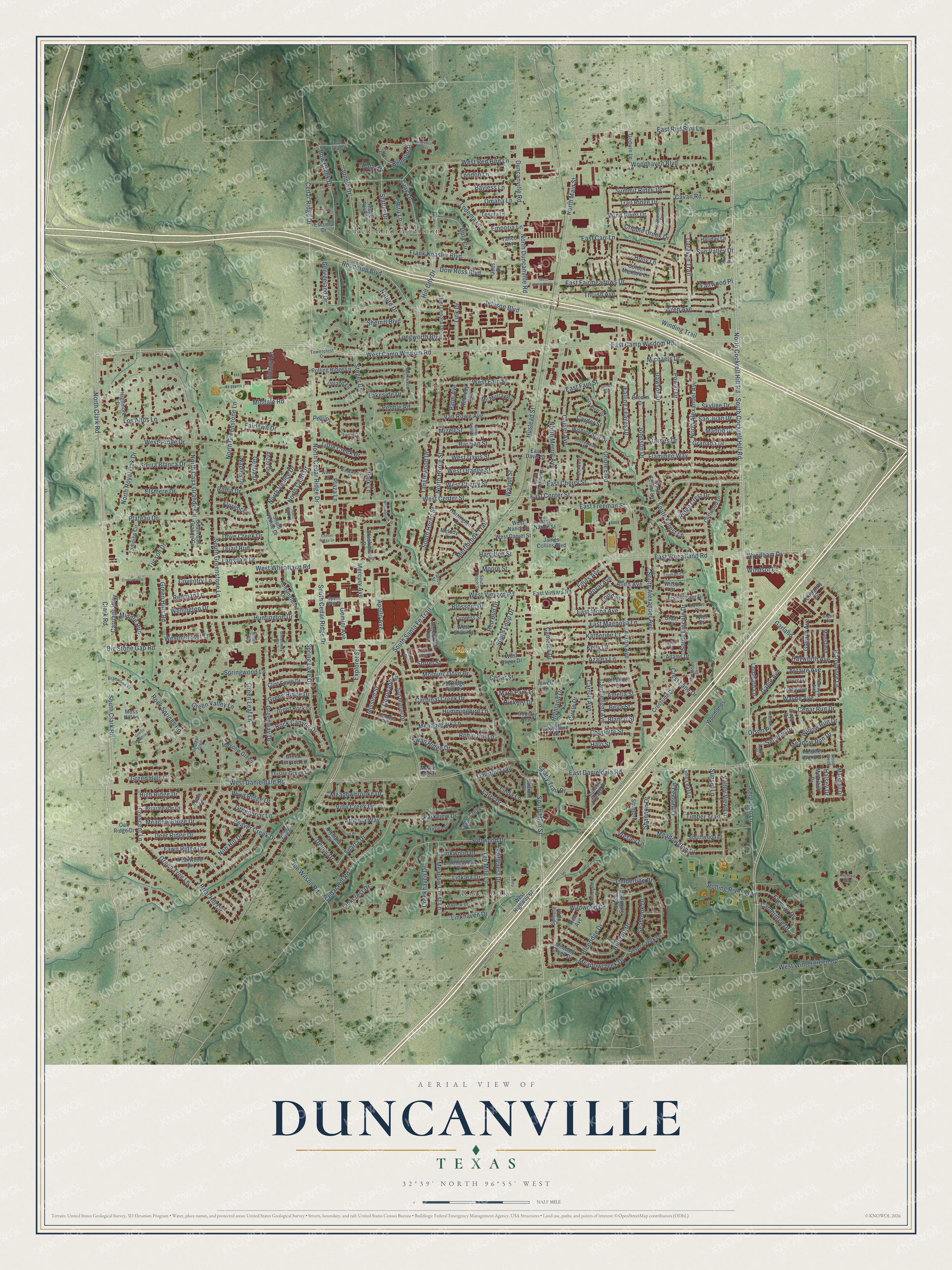
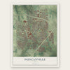
Explore Duncanville, Texas from a whole new perspective. Created using aerial imagery and detailed geographic data, this map captures Duncanville building by building, with labeled streets, familiar landmarks, and shaded topographical relief that highlights the natural contours of the landscape.
Combining modern data with the timeless character of a vintage atlas, this map is just as interesting up close as it is beautiful on the wall. Whether you grew up in Duncanville, spent memorable years there, or call it home today, this unique map is a great way to celebrate a place that means something to you. Zoom in on the preview to look for your street, and then order a print to put your memories on the wall.
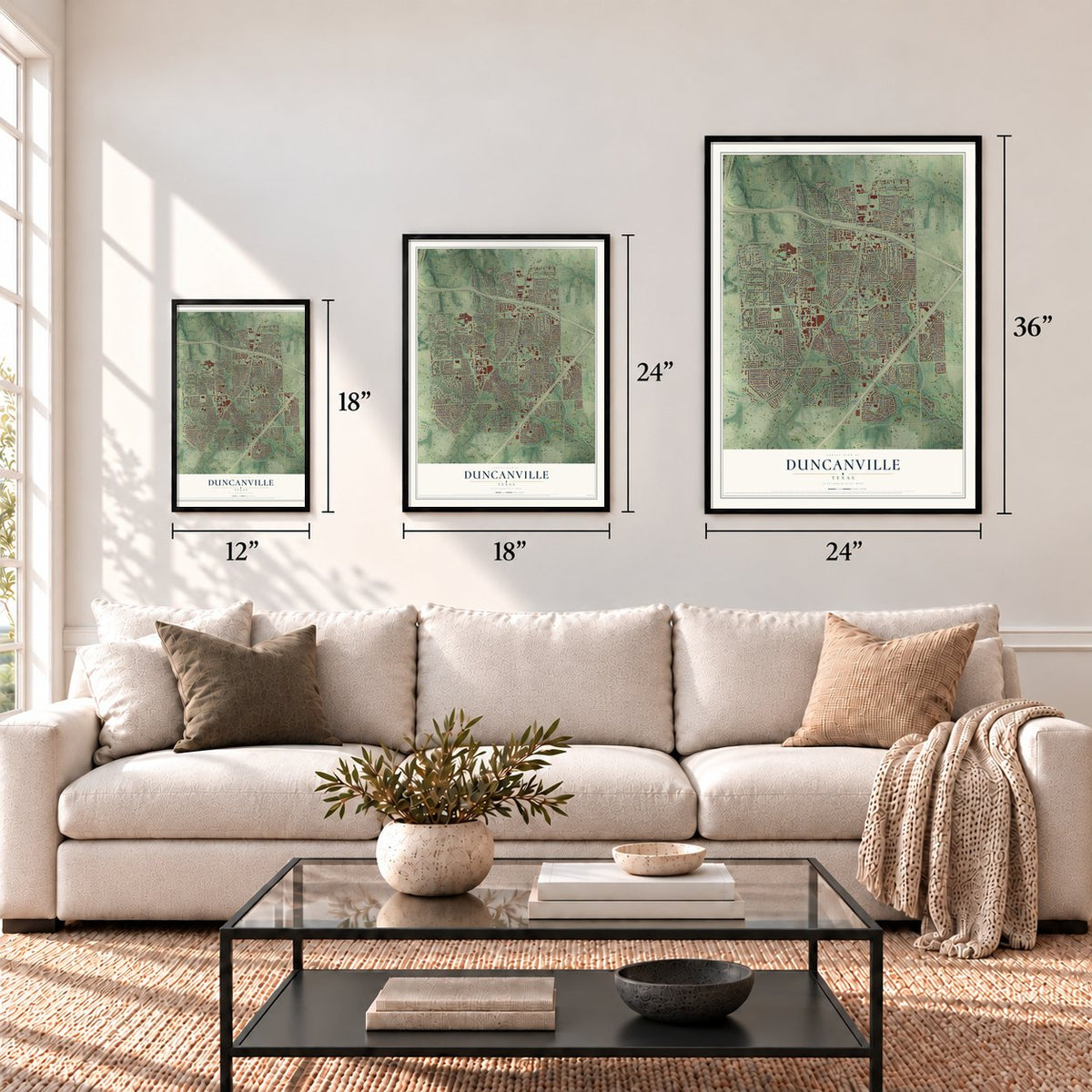
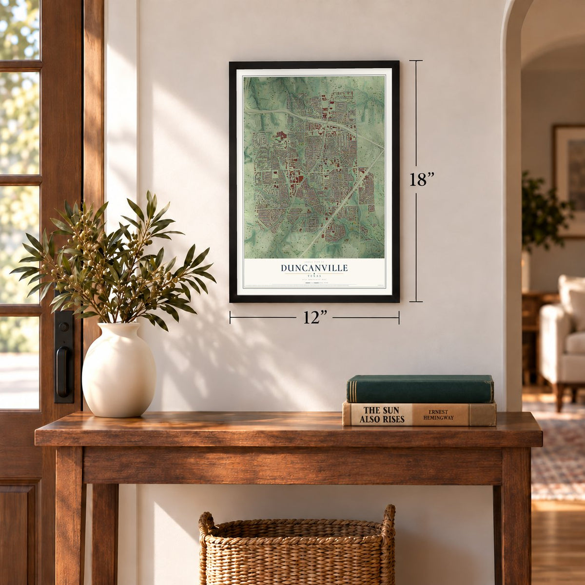
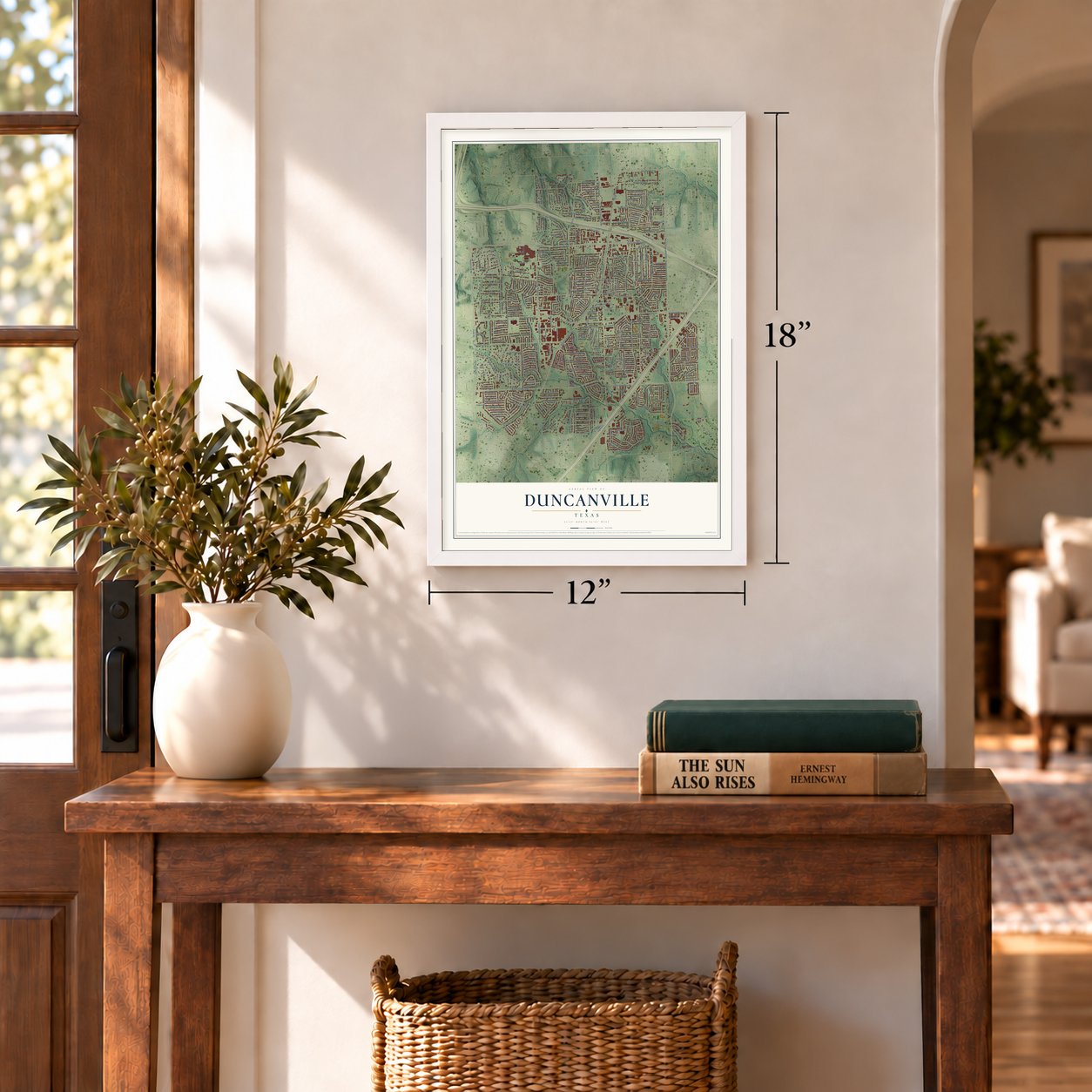
Three ways to hang it
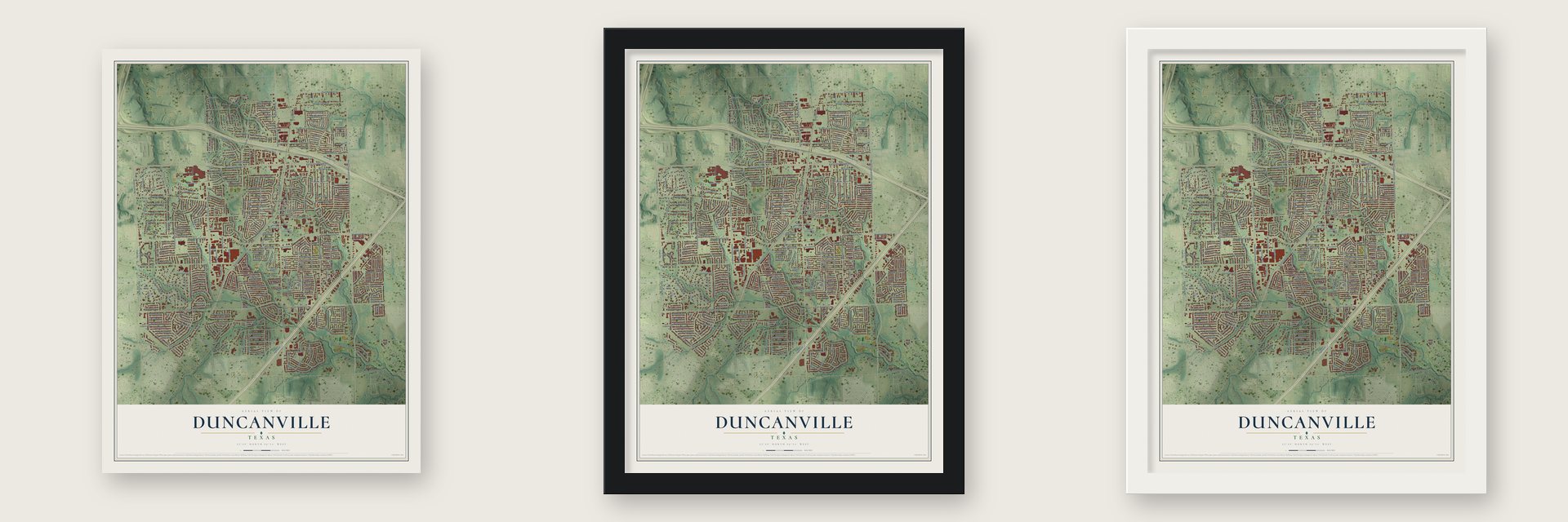
Unframed archival matte, a black wood frame or a white wood frame.
Up close
Geography Worth Displaying
This map was created using accurate cartographic data and authoritative geographic sources, including the U.S. Geological Survey and the Census Bureau. The map brings together terrain, waterways, roads, and building detail. The majority of the streets are labeled, houses are accurately depicted, and the topography is derived from government sources. Combining local data with carefully composed color and shading leads to this beautifully detailed Duncanville artwork for your wall.
Rather than simply showing street outlines, we’ve included as many of the street names as we could reasonably fit on the map while keeping their names legible. Zoom in on the high resolution preview to see exactly what’s on the map. We truly set out to create a statement piece for anyone who loves Duncanville. So whether it’s for you, or a gift for someone you love, we hope this map of Duncanville brings back fond memories.
Read the story behind this map of Duncanville, Texas from 2026.
Find your street
Names on the Duncanville map
Every name below is printed on this map. Look for your street, your school, the park where you played, or the pond down the road.
Places and landmarks4
- River Oaks
- Red Bird Addition
- Chris Paris Park
- Lions Park
Streets and roads384
- South Cockrell Hill Road
- South Clark Road
- North Cockrell Hill Road
- South Main Street
- North Main Street
- East Center Street
- West Wintergreen Road
- West Camp Wisdom Road
- East Camp Wisdom Road
- West Center Street
- North Clark Road
- North Cedar Ridge Drive
- East Wheatland Road
- Barrymore Lane
- Clark Road
- Plateau Drive
- South Santa Fe Trail
- Hill City Drive
- Lakeside Drive
- Valley View Lane
- Cedar Ridge Drive
- Timber Trail
- West Danieldale Road
- West Wheatland Road
- East Danieldale Road
- South Cedar Ridge Drive
- Oriole Boulevard
- South Greenstone Lane
- Big Stone Gap Road
- Green Tree Lane
Show all 384 streets
- West Red Bird Lane
- Cedar Hill Road
- South Alexander Avenue
- West-Ridge Drive
- North Casa Grande Circle
- North Duncanville Road
- East Cherry Street
- Frank Keasler Boulevard
- Winding Trail
- East Freeman Street
- Softwood Drive
- Middale Road
- Jellison Boulevard
- Green Hills Road
- Jungle Drive
- Greenway Drive
- Duncanville Road
- Beaver Creek Drive
- Acton Avenue
- North Greenstone Lane
- Merribrook Trail
- North Royal Oak Drive
- Thrush Avenue
- Blueridge Drive
- Linkcrest Drive
- Lodema Lane
- Bow Creek Drive
- Roundtop Boulevard
- East Red Bird Lane
- Crescent Lane
- Woodhaven Boulevard
- Katherine Court
- Johnson Drive
- North Merrill Avenue
- Cardinal Creek Drive
- East Fairmeadows Drive
- Steger Drive
- North Alexander Avenue
- Huntington Drive
- Candlelight Avenue
- Lansdale Drive
- Hillcroft Drive
- Sherrill Boulevard
- Wren Avenue
- Greenbriar Lane
- Sun Valley Drive
- East Magnolia Lane
- Azalea Lane
- Walnut Street
- Green Hills Court
- Rolling River Trail
- Dow Ross Boulevard
- Royal Avenue
- Astaire Avenue
- Ten Mile Lane
- Timberline Drive
- Hustead Street
- Power Drive
- North Horne Street
- Cedar Run Drive
- South Lincoln Drive
- Green Valley Lane
- Swan Ridge Drive
- West Fain Street
- West Davis Street
- Flamingo Way
- Park Lane
- Fairlawn Drive
- Dawson Drive
- Springwood Lane
- Mizell Street
- Rita Lane
- Morning Dove Drive
- Calder Avenue
- Wellington Drive
- Athenia Way
- West Vinyard Road
- South Horne Street
- Ferguson Lane
- Spring Lake Drive
- Roma Drive
- Larry Drive
- Rock Springs Road
- Redman Lane
- Sierra Blanca Drive
- West Cherry Street
- Meadowlark Lane
- Meadowglen Drive
- Villa Creek Drive
- Briar Hill Circle
- Holly Lane
- Mercury Avenue
- Joe Wilson Road
- Nature Drive
- Carriage Way
- Cliffcrest Drive
- Meadow Crest Lane
- Naples Drive
- Meadow Run Drive
- Kelly Court
- Lady Lane
- Van Rowe Avenue
- Caravan Trail
- Dove Creek Drive
- Statler Drive
- East Fain Street
- Shannon Drive
- Linklea Drive
- Los Altos Lane
- Falling Leaves Drive
- Limetree Lane
- West Orange Street
- Cambridge Drive
- Longworth Boulevard
- Timothy Trail
- High Ridge Drive
- Explorer Street
- Elsmere Drive
- Meadow Ridge Drive
- Deer Ridge Drive
- Willow Run Drive
- Coventry Lane
- Rock Canyon Drive
- South Forest Lane
- North Venice Drive
- Green Leaf Lane
- Creekhaven Drive
- Fairway Drive
- Parkview Drive
- Carder Street
- Allen Avenue
- Wayne Avenue
- Harman Street
- Meadowbrooke Drive
- Gaynor Avenue
- Charlotte Street
- Cavan Road
- Highland Drive
- Coronado Lane
- Tucson Drive
- Victory Lane
- Trail Ridge Drive
- Wind River Drive
- Linda Lane
- Westminister Lane
- Omaha Lane
- Sanders Drive
- Dula Circle
- Sparta Drive
- Summit Ridge Drive
- Bayless Lane
- Hummingbird Lane
- Tanglewood Drive
- Cripple Creek Drive
- Robin Hill Lane
- Hayworth Avenue
- Little Creek Drive
- Fawn Ridge Drive
- South Loop Drive
- Meadowcreek Drive
- North Capri Drive
- Shady Trail Drive
- Mission Street
- East Mona Avenue
- Wind Ridge Drive
- Michaels Drive
- Seabrook Drive
- Fouts Avenue
- Middle Run
- Link Drive
- Apollo Avenue
- Moore Street
- Ridge Crest Drive
- Sunset Lane
- East Carr Lane
- Wildwood Drive
- Crest Lane Drive
- Granada Drive
- Quail Run
- Madrid Drive
- Linkhaven Drive
- San Juan Drive
- Gable Avenue
- Linkwood Drive
- Pebble Road
- Delphi Drive
- Halo Street
- Skyline Drive
- Cedar Street
- London Lane
- Georgeland Drive
- Green Ridge Drive
- Gemini Avenue
- Red Bud Drive
- Wyndham Drive
- Wesley Lane
- Nob Hill Drive
- Fairwood Place
- Blossom Drive
- Windsor Drive
- Lou Avenue
- Circle Drive
- Carroll Avenue
- Emporia Lane
- Genoa Drive
- Main Park Lane
- Florence
- Sorrel Street
- Hamilton Street
- Camellia Drive
- Lombard Lane
- Belmont Place
- Starnes Drive
- Hickory Drive
- Palm Avenue
- Bella Street
- Olson Place
- Amelia Street
- Blanco Street
- Halsey Drive
- Garland
- Plaza Lane
- Pelt Place
- Polo Court
- West Highway 67
- Woodlands
- Holiday Lane
- Silver Creek Drive
- Rolling Ridge Lane
- Brookwood Drive
- East Davis Street
- Kensington Drive
- Cliffwood Drive
- Eisenhower Drive
- Meadow Green
- Ridge Rock Lane
- Southwood Drive
- Tampico Circle
- South Venice Drive
- San Miguel Drive
- Del Lenora Drive
- Harrington Drive
- Teakwood Drive
- Sunset Village Drive
- Brooks Drive
- Golden Meadow Lane
- Lime Leaf Lane
- Partridge Run Drive
- Olympia Drive
- Linkmeadow Drive
- Stratford Lane
- Sagebrush Trail
- Thistle Green Lane
- Wishing Star Drive
- Green Rock Drive
- Meadow Creek Drive
- Clint Smith Drive
- Briarmeade Drive
- South Casa Grande Circle
- West Daniel Street
- Crestside Drive
- Spindle Top Drive
- Heather Wood Drive
- East Vinyard Road
- Upland Lane
- West Shaw Street
- Mc Murray Avenue
- James Collins Boulevard
- Kennedy Avenue
- Godwin Lane
- Tenery Lane
- Green Terrace Lane
- Fairbanks Circle
- Melody Lane
- Oak Ridge Drive
- Cedar Creek
- North Forest Lane
- Graystone Place
- Mansfield
- Crystal Springs Drive
- Moss Hill Lane
- West Nance Street
- Oleander Street
- East Nance Street
- Highmore Drive
- McArthur Drive
- Marshall Drive
- West Sliger Drive
- Tanco Lane
- Country Bend
- Anzio Drive
- Tracy Avenue
- Ida Vista Court
- Cypress Street
- Escuela Drive
- Jewell Drive
- Adams Drive
- Wilson Court
- Rew Avenue
- Sharon Drive
- Lloyd Drive
- Grant Court
- Tyler Court
- Maple Leaf Drive
- Joes Drive
- Cactus Drive
- Markwood Drive
- South Peach Street
- Space Way Drive
- Lazy River Drive
- Stanwyck Avenue
- Shorewood Drive
- Westwood Court
- Linkview Drive
- Alameda Avenue
- Whitecliff Drive
- Lakeview Circle
- North Hastings Street
- Monroe Drive
- Driftwood Drive
- Richlen Way
- Crestdell Drive
- Braewood Place
- Rockaway Drive
- Ski Drive
- Towercrest Drive
- Truman Court
- Greenway Circle
- Ascot Drive
- Heather Glen
- West Lane
- Shady Tree Place
- Taylor Court
- Natalie Lane
- Wood Creek
- Patton Street
- Kings Court
- Aaron Place
- North Peach Street
- Willowbrook Drive
- Parkwood Circle
- Valley Lane
- West Fairmeadows Drive
- Corinthian Place
- South Capri Drive
- Gentle Meadow Lane
- McCall Drive
- Crosspointe
- Churchill Downs
- Stewart Avenue
- Rock Rose Drive
- Center Ridge Drive
- Oriole Circle
- Bogart Circle
Names are listed as they appear on the printed map. Zoom into the product photos to find them.
About Duncanville, Texas
Duncanville is a city in southwestern Dallas County whose settlement history reaches back to 1845. The railroad established Duncan Switch in 1880, and postmaster Charles P. Nance gave the community its present name two years later. Incorporated in 1947, Duncanville grew as a Dallas suburb and recorded 40,706 residents in the 2020 census.
- Settlement BeginsCrawford Trees arrived from Illinois in 1845 and purchased several thousand acres south of Camp Dallas.
- Early SchoolTrees provided land in 1855 for the Little Bethel Male and Female School, which also served as a church until 1881.
- Railroad NamingThe railway built Duncan Switch in 1880, and the community was renamed Duncanville in 1882.
- Recovery After FireAn 1884 fire ruined most commercial structures, but shops, a pharmacy, a domino parlor, and a school operated by the century's end.
- City GovernmentResidents incorporated a 225-acre city on August 2, 1947, and adopted a home-rule charter in 1962.
Keep exploring Texas
Duncanville is one of 2,049 Texas towns we've mapped. Every dot on the map is a print of its own.
The search covers every state, Texas first.
Near Duncanville
Order 2 or more town maps and save 10%. Shown in the size and finish you picked above, so they hang as a set.
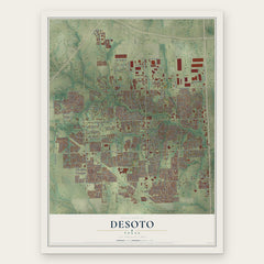
- DeSoto 12" x 18" / Archival Matte Print $39.99
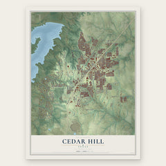
- Cedar Hill 12" x 18" / Archival Matte Print $39.99
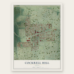
- Cockrell Hill 12" x 18" / Archival Matte Print $39.99
More maps nearby: Grand Prairie, Glenn Heights, Ovilla, Bishop Arts District and Lancaster.
The art of mapping a place
How This Map Was Made
Real places. Remarkable detail. Discover the layers that turn geographic data into a map of home.

The view from above
Aerial imagery reveals the character of the land: woodland, open fields, and the patterns of a place.

The shape of the land
Elevation data brings hills, valleys, and subtle changes in the landscape into view.

The details of home
Roads, waterways, and building footprints come together to make the map feel unmistakably local.

Geography becomes art
Considered color, shading, and typography bring the layers together in a map made for your wall.


Process illustrated with Mendon, Massachusetts. Aerial imagery: USDA NAIP. Terrain: USGS 3D Elevation Program. Map details and finished artwork: KNOWOL.
The Details
About This Print
Choose an archival matte print, or a black or white Ayous wood frame. The archival matte print is unframed.
Select your size and finish above to see the matching product image and price.
Materials & Craftsmanship
A contemporary map with the character of a classic atlas, printed on archival matte paper. Optional frames are made from Ayous wood.
Your printed map does not include the watermark shown in the full-map preview.
Shipping & Delivery
Free shipping within the United States. Every print is made to order in the USA.
Buying a gift? Add a note in your cart and we'll include it. We never put prices in the package.
Prints ship within 2 to 3 business days. Allow 7 to 10 days total from ordering for delivery. Timing may vary during holidays or periods of high order volume.
Read our shipping policy.
Returns and damaged prints
Each print is made to order. Change-of-mind refunds are not available after production.
If your print arrives damaged, misprinted or incorrect, contact support@knowol.com within 30 days of receiving it. Include your order number, photos and a description of the issue.
Read our full refund and replacement policy. For questions about your order, email support@knowol.com.