
Search for another town

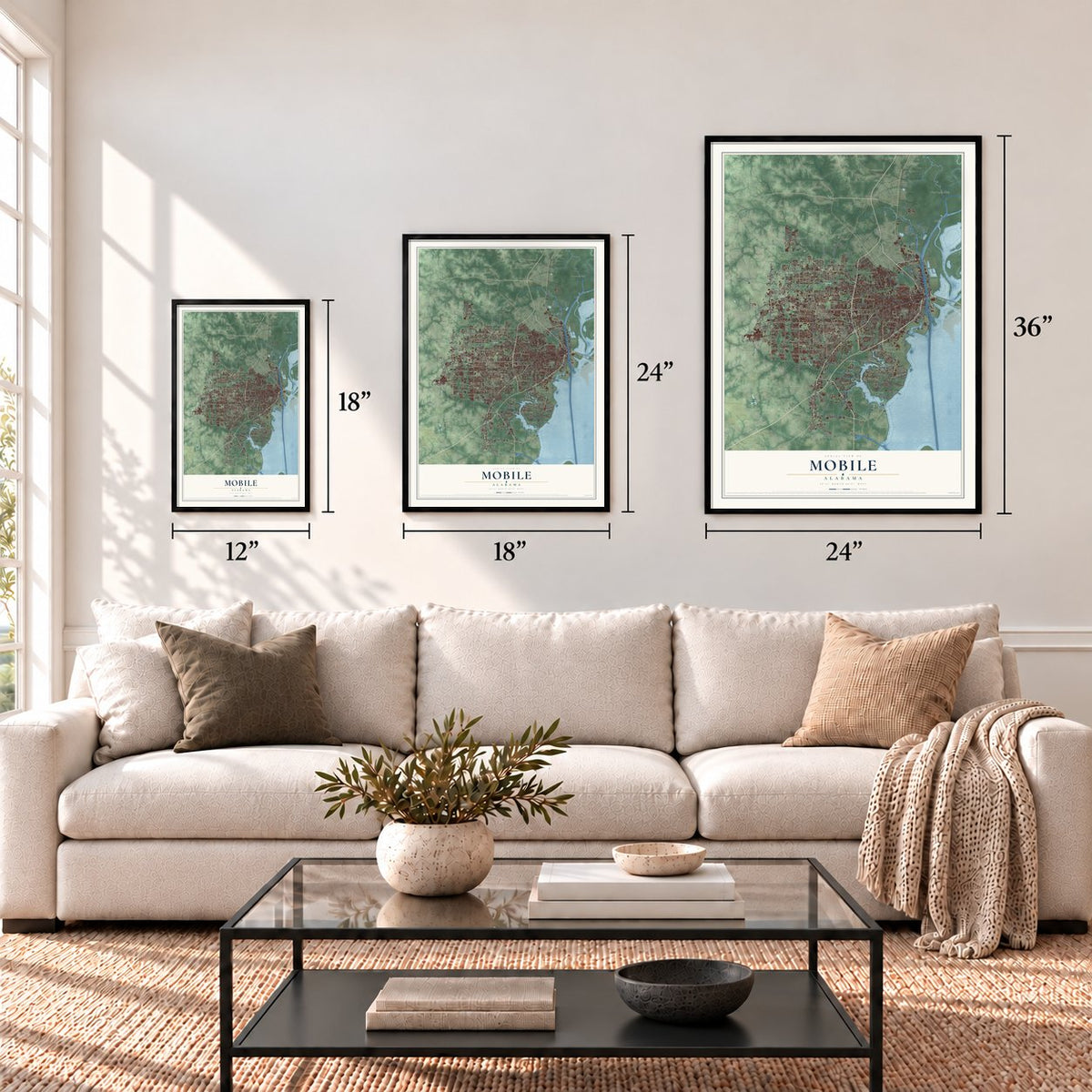
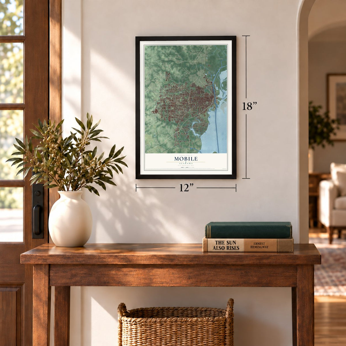
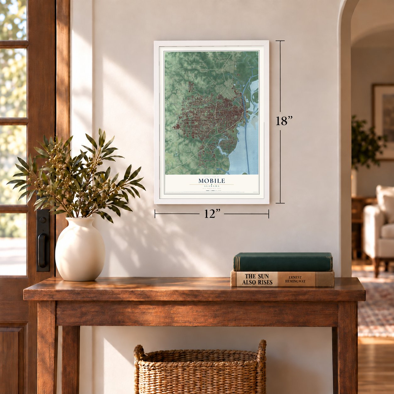

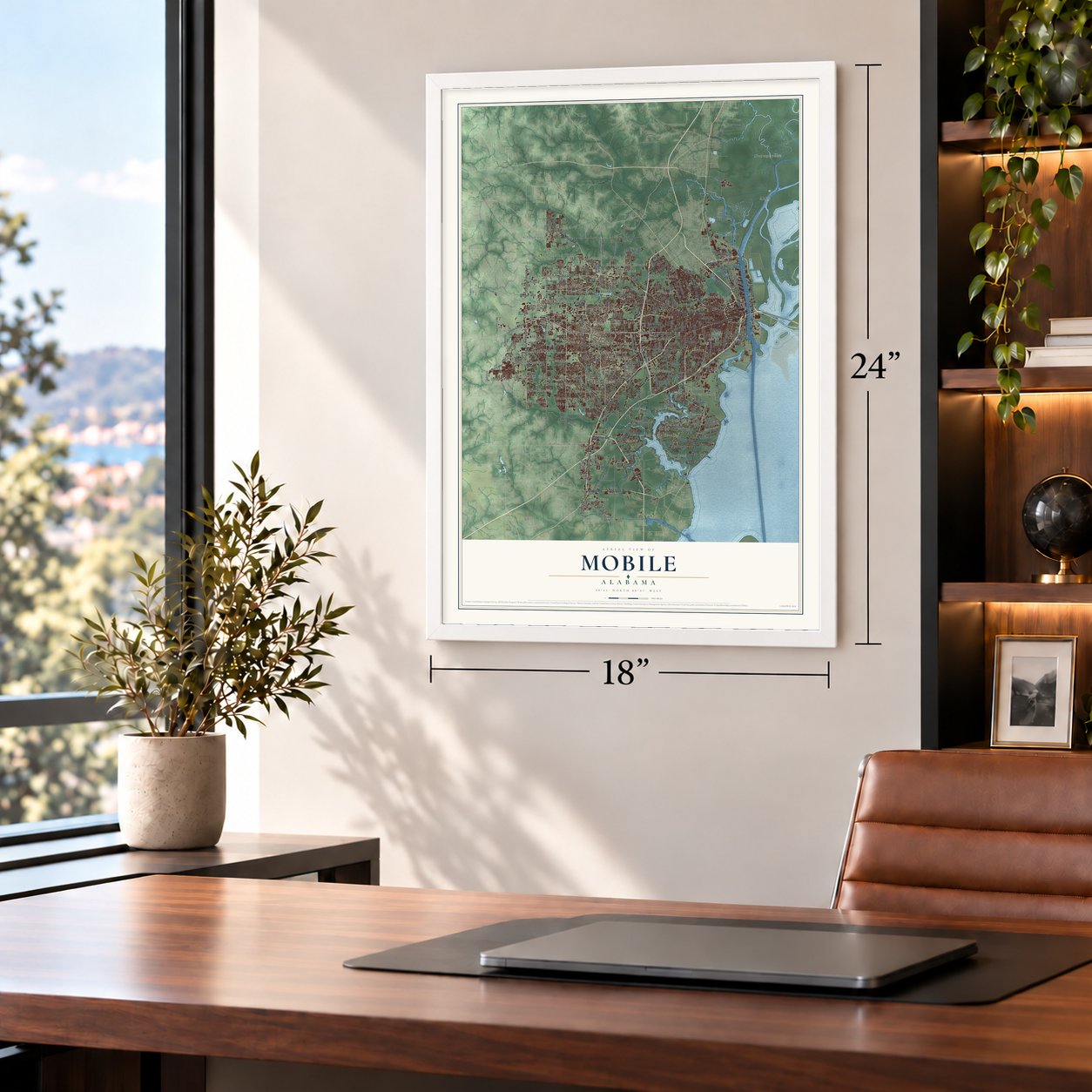


Free U.S. delivery 7 to 10 days after you order
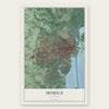
Mobile, Alabama Map Art
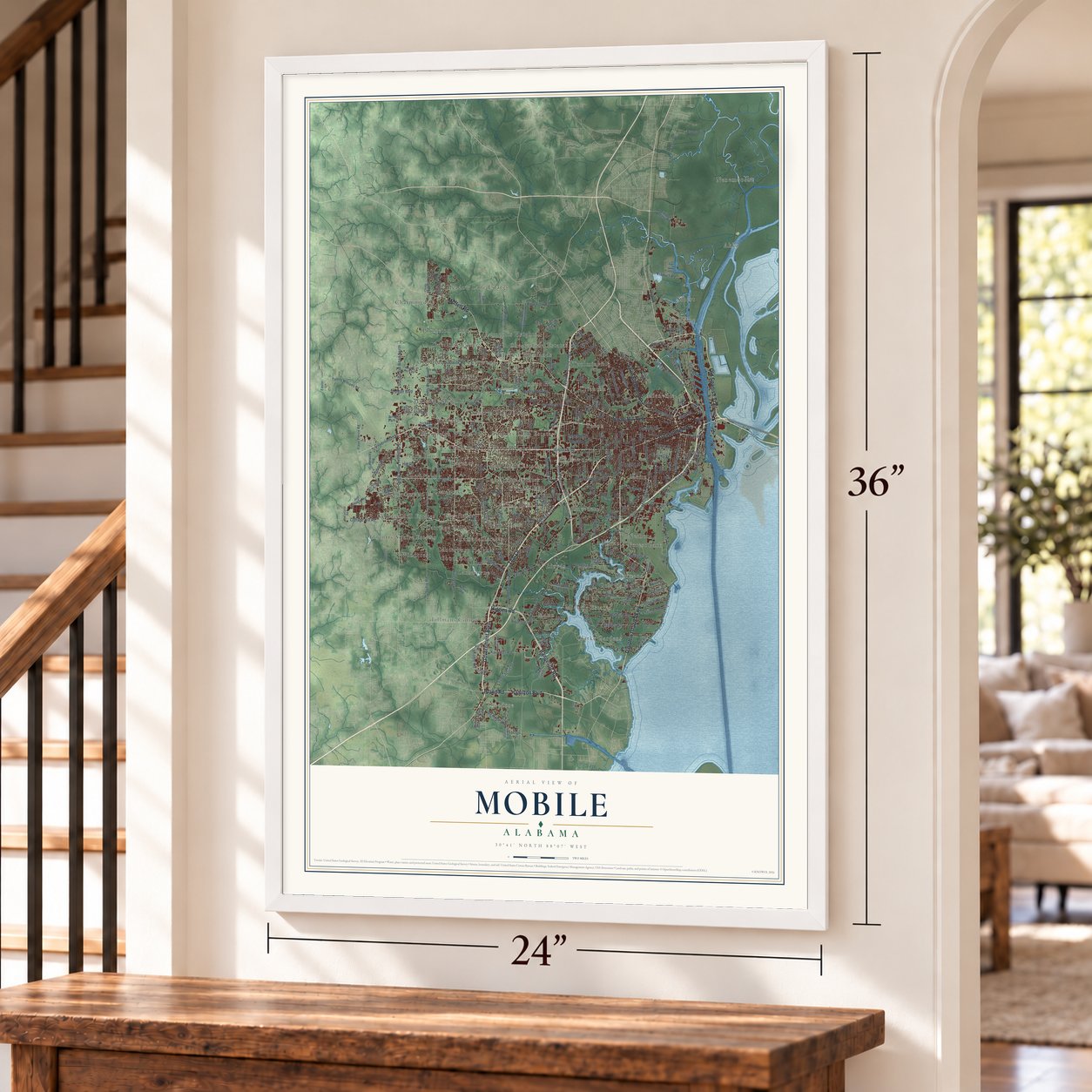
A new map of Mobile, Alabama, made in 2026 and printed to order on thick archival matte paper.
12" x 18" Archival Matte Print
A Map of Home. A Work of Art.
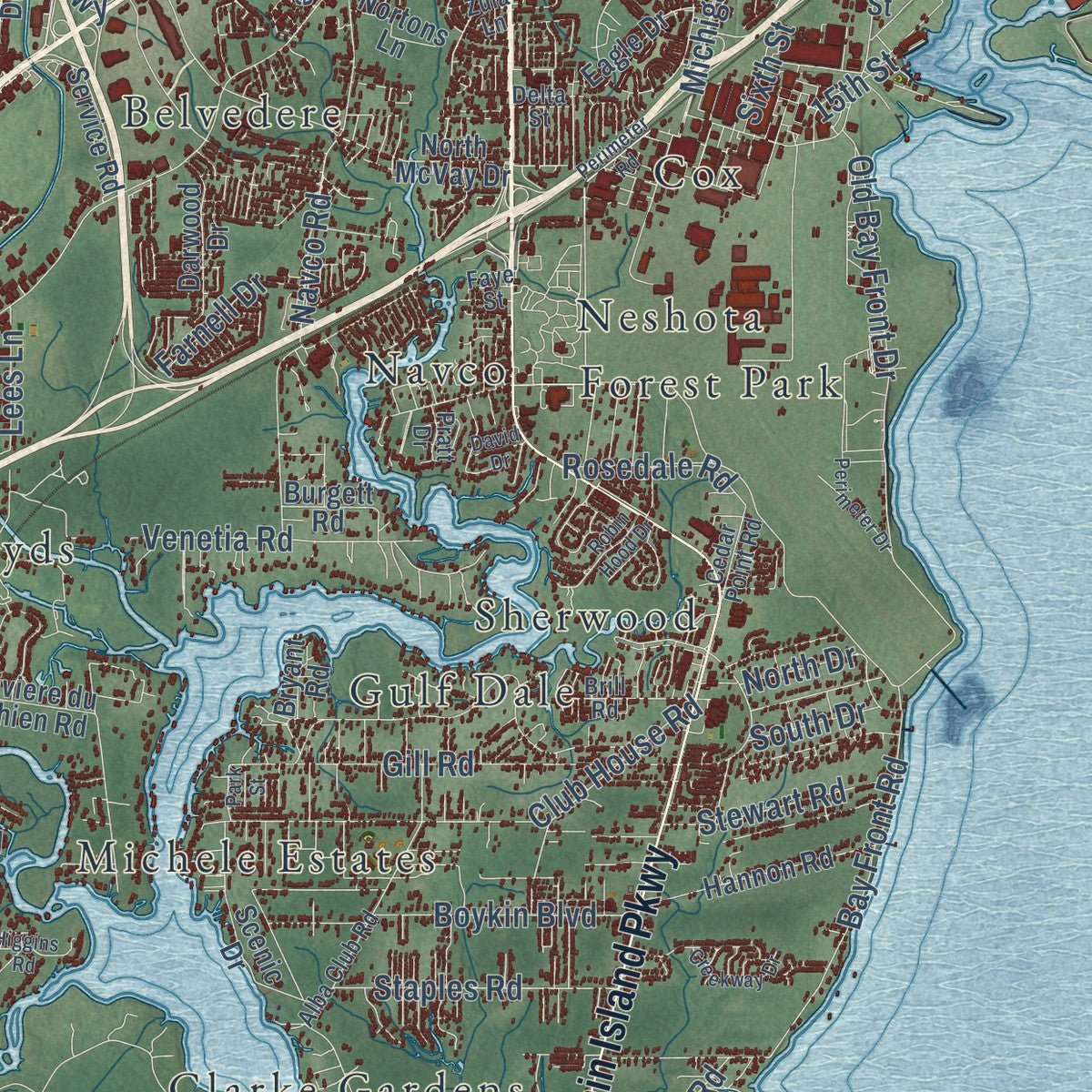
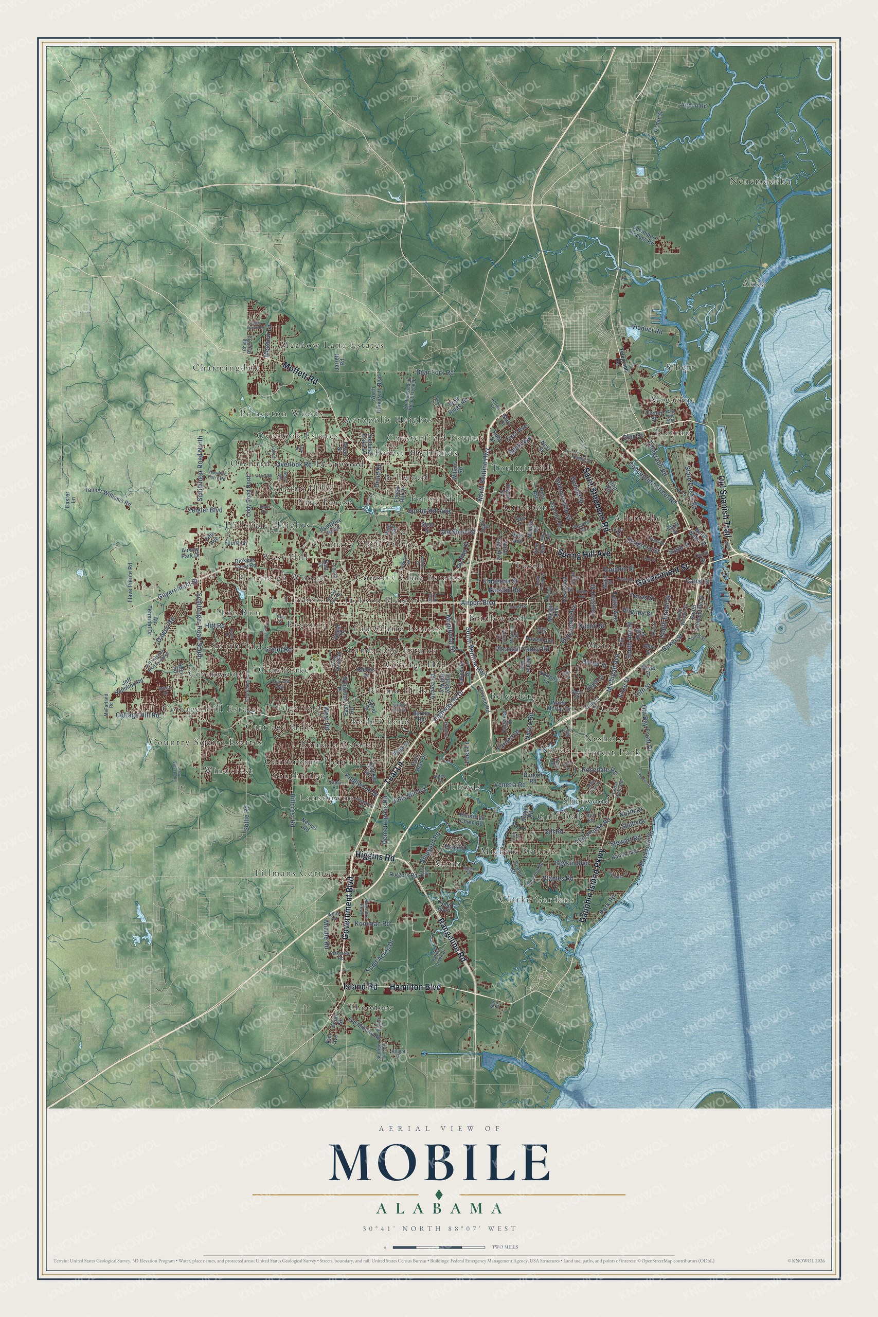
Explore Mobile, Alabama from a whole new perspective. Created using aerial imagery and detailed geographic data, this map captures Mobile building by building, with labeled streets, familiar landmarks, and shaded topographical relief that highlights the natural contours of the landscape.
Combining modern data with the timeless character of a vintage atlas, this map is just as interesting up close as it is beautiful on the wall. Whether you grew up in Mobile, spent memorable years there, or call it home today, this unique map is a great way to celebrate a place that means something to you. Zoom in on the preview to look for your street, and then order a print to put your memories on the wall.
Three ways to hang it
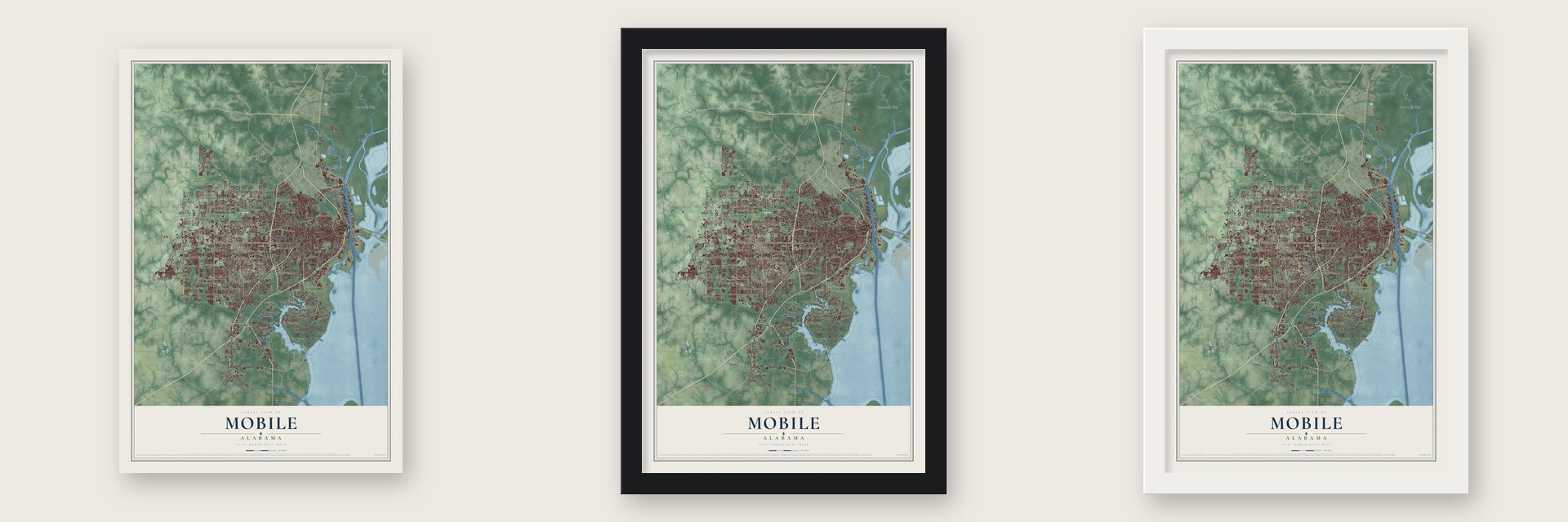
Unframed archival matte, a black wood frame or a white wood frame.
Up close
Geography Worth Displaying
This map was created using accurate cartographic data and authoritative geographic sources, including the U.S. Geological Survey and the Census Bureau. The map brings together terrain, waterways, roads, and building detail. The majority of the streets are labeled, houses are accurately depicted, and the topography is derived from government sources. Combining local data with carefully composed color and shading leads to this beautifully detailed Mobile artwork for your wall.
Rather than simply showing street outlines, we’ve included as many of the street names as we could reasonably fit on the map while keeping their names legible. Zoom in on the high resolution preview to see exactly what’s on the map. We truly set out to create a statement piece for anyone who loves Mobile. So whether it’s for you, or a gift for someone you love, we hope this map of Mobile brings back fond memories.
Read the story behind this map of Mobile, Alabama from 2026.
About Mobile, Alabama
Mobile is a city of 187,041 people and the seat of Mobile County, set where the Mobile River meets the head of Mobile Bay. Pierre Le Moyne d'Iberville and his brother Bienville founded it in 1702 well upriver, near Twenty-Seven Mile Bluff, to hold France's claim to Louisiana. Floods, disease and raids by Alabama Indians wore the colony down. It reached 279 people in 1708 and fell to 178 two years later, so in 1711 Bienville moved the town downriver to the site it holds today.
Britain took Mobile under the 1763 Treaty of Paris and renamed Fort Condé as Fort Charlotte, for Queen Charlotte. Louisiana's Spanish governor, Bernardo de Galvez, captured it in 1780, and Spain kept it until General James Wilkinson seized it for the United States in 1813, when only about 300 people remained. Steamboats and cotton built the city from there, and much of that wealth rested on enslaved labor and the slave trade. Mobile had 2,800 people by 1822, trailed only New Orleans in cotton exports by 1840 and counted 29,258 people in 1860.
“Encircled and taking heavy fire, Tennessee's crew inflicted losses until, rudder chains and smokestack shot away, she was rammed at will and drifted helplessly but with guns and armor intact.”
- America's oldest CarnivalMobile's French Creoles kept Mardi Gras in the colony's first years, and in 1830 the city became home to the country's first organized mystic society to parade. In 1921, members of the Knights of Columbus founded the Krewe of Columbus at the Battle-Ross House, 602 Government Street, and rolled twelve floats on Columbus's life in 1922. Opened to outsiders in 1937, it became the Crewe so its initials no longer matched the Knights'. It reached its centennial in 2021.
- The last fortified port to fallAdm. Farragut's 17 Union ships, with 199 heavy guns, broke into Mobile Bay on August 5, 1864, past four Confederate ships led by the ironclad Tennessee. Fort Morgan fell after a 19-day siege. After Union wins at Spanish Fort and Fort Blakeley, Mobile yielded on April 12, 1865, to spare itself, three days after Lee's surrender at Appomattox. On May 25 a federal ammunition depot on Beauregard Street exploded, killing some three hundred and burning the north end.
- Emerson Institute, 1865The Freedmen's Bureau founded Emerson Institute in 1865 as the city's first school built to formally educate African Americans. It began in the "Blue College" on Government Street and moved to 266 Scott Street in 1877 after a bad fire. The American Missionary Association ran it from 1866 until 1927, when it joined the Mobile County public schools. Many of its students went on to notable careers, but Emerson closed in 1970 and urban renewal cleared its buildings.
- Oakleigh and its oaksJames Roper began Oakleigh in 1833 on a Spanish land grant and named it for the great oaks around it. The T-shaped house, with a curved stairway rising from a brick terrace to its front gallery, suited the Gulf heat, and President James Garfield was among its guests. The City of Mobile bought it in 1955, and the Historic Mobile Preservation Society now runs it as a museum of antebellum life.
- From Bates Field to BrookleyLegion Field opened in 1917 as Mobile's first flying field, and the city dedicated Bates Field, its first municipal airport, in November 1929. In July 1939 the War Department took 1,362 acres including Bates Field for a military aviation depot, later named Brookley Field for aviator Wendell Holsworth Brookley. More than 16,000 people worked there during World War II.
Find your street
Names on the Mobile map
Every name below is printed on this map. Look for your street, your school, the park where you played, or the pond down the road.
Places and landmarks64
- Langan Park
- Acropolis Heights
- Akka
- Allenville
- Alpine Hills
- Belle Chene
- Bellwood
- Belvedere
- Bridlewood
- Burma Hills
- Cambridge Estates
- Canebrake
Show all 64 places
- Canterbury Heights
- Carriage Hills
- Charmingdale
- Chesterfield Estates
- Clarke Gardens
- Cottage Hill
- Cottage Hill Estates
- Country Club Estates
- Country Club Village
- Country Squire Estates
- Cox
- Creekwood
- Crichton
- Deerwood
- Eau Claire Estates
- Edgefield
- Forest Highlands
- Forest Hill
- Forest Park
- Gulf Dale
- Hillsdale Heights
- Huntleigh Woods
- Jackson Heights
- Lansdowne
- Lloyds
- Magazine
- Mann
- Meadow Lane Estates
- Mertz
- Michele Estates
- Navco
- Nenemoosha
- Neshota
- Orchard
- Overlook Estates
- Park Forest
- Pine Run
- Plateau
- Princeton Woods
- Ramada Estates
- Regency
- Sherwood
- Sibert
- Smithfield
- Southridge
- Tacon
- Theodore
- Tillmans Corner
- Timbers
- Toulminville
- West Hill
- Windcrest
Streets and roads239
- Government Boulevard
- Rangeline Road
- Dauphin Island Parkway
- Moffett Road
- Old Spanish Trail
- Spring Hill Avenue
- Hamilton Boulevard
- Island Road
- Government Street
- Saint Stephens Road
- Higgins Road
- Teal Lane
- Cottage Hill Road
- South Beltline Highway
- Highway 90 Drive
- Montlimar Drive
- Demetropolis Road
- Airport Boulevard
- Old Shell Road
- Dauphin Street
- Hillcrest Road
- Halls Mill Road
- Grelot Road
- Zeigler Boulevard
- North Beltline Highway
- Michigan Avenue
- Schillinger Road South
- Knollwood Drive
- Todd Acres Drive
- Bear Fork Road
Show all 239 streets
- South Broad Street
- Dawes Road
- Schillinger Road North
- Pleasant Valley Road
- Overlook Road
- Virginia Street
- Conception Street Road
- Navco Road
- Sollie Road
- Congress Street
- Emogene Street
- Club House Road
- Old Bay Front Drive
- South Ann Street
- Houston Street
- Canal Street
- Texas Street
- Gill Road
- Bay Front Road
- Summerville Street
- Donald Street
- Telegraph Road
- Sixth Street
- First Avenue
- State Docks Road
- Venetia Road
- Ralston Road
- Staples Road
- State Street
- Boykin Boulevard
- Chin Street
- Lees Lane
- Viaduct Road
- Stewart Road
- Kooiman Road
- Hitt Road
- Holcombe Avenue
- Baker Street
- Hurtel Street
- Shipyard Road
- Park Road
- Farnell Drive
- Rosedale Road
- Middle Road
- Meadow Lane
- Du Rhu Drive
- West Road
- Bank Avenue
- Tuttle Avenue
- Dublin Street
- South Drive
- 15th Street
- Druid Drive
- North Drive
- Lakeside Drive
- Kelly Street
- North University Boulevard
- Azalea Road
- Duval Street
- Cody Road North
- Service Road
- Stanton Road
- Mobile Street
- Wolf Ridge Road
- North McVay Drive
- Conti Street
- Tanner Williams Road
- Old Military Road
- Riviere du Chien Road
- South Conception Street
- Glenwood Street
- Center Street
- East Road
- Dickens Ferry Road
- North Water Street
- Hannon Road
- Todd Boulevard
- Jaciniport Access Road
- Scenic Drive
- Air Terminal Drive
- Main Street
- Eagle Drive
- Stein Street
- Fourth Street
- Flave Pierce Road
- Burma Road
- Nevius Road
- Raines Drive
- Forest Hill Drive
- Colonial Oaks Drive
- McRae Avenue
- Usa Drive North
- North Sage Avenue
- Jeff Hamilton Road
- Rutgers Road
- Ruby Street
- Darwood Drive
- Morgan Avenue
- East Shan Drive
- Wilkins Road
- Airport Road
- Jarrett Road
- Howell Avenue
- Wildwood Place
- Vega Drive
- Smith Street
- Cottage Hill Avenue
- Alba Street
- Cedar Street
- Macy Place
- East Drive
- Haas Avenue
- Point Road
- Nortons Lane
- Airway Park Drive
- Next Street
- Emelye Drive
- Dover Street
- Easter Lane
- Burgett Road
- Fisher Street
- Sybel Drive
- Bryant Road
- Regal Drive
- Holt Road
- Earle Street
- Pine Court
- Aden Road
- Petit Avenue
- Fifth Avenue
- Item Avenue
- Kim Avenue
- Howells Ferry Road
- Shelton Beach Road Extended
- Girby Road
- Rabbit Creek Drive
- Alba Club Road
- Park Avenue
- South Warren Street
- Paper Mill Road
- Osage Street
- Basil Street
- Willis Road
- Grant Street
- Farnell Lane
- Anton Street
- Lyons Street
- Yeend Street
- Brill Road
- Pleasant Avenue
- Business Parkway
- McFarland Road
- Plantation Road
- Long Wood Road
- Cedar Point Road
- Lubarrett Way
- South Street
- Long Court
- Section Line Road
- Ching Dairy Road
- Tufts Road
- Knight Drive
- Ingate Street
- Iris Avenue
- Alden Drive
- Delta Street
- Zula Lane
- Pratt Drive
- Faye Street
- Mac Drive
- Hillwood Road
- Perimeter Road
- Cody Road South
- Leroy Stevens Road
- Perimeter Drive
- Bit and Spur Road
- Gayle Street
- Hunter Avenue
- Bay Avenue
- Somerby Drive
- Gaillard Drive
- South Florida Street
- Jeff Hamilton Road Extended
- Athey Road
- Magnolia Road
- Pinehill Drive
- Wall Street
- Skywood Drive
- Dixon Lane
- Bowers Lane
- Creekway Drive
- Robin Hood Drive
- Victor Road
- West Avenue
- Burma Hills Drive
- Lansdowne Drive
- Ashley Drive
- Brown Street
- Pages Lane
- Ching Lynch Road
- Erdman Lane
- Park Street
- Essex Drive
- Oak Street
- Milton Road
- Biloxi Avenue
- David Drive
- Lleyn Avenue
- Tew Drive
Names are listed as they appear on the printed map. Zoom into the product photos to find them.
The art of mapping a place
How This Map Was Made
Real places. Remarkable detail. Discover the layers that turn geographic data into a map of home.

The view from above
Aerial imagery reveals the character of the land: woodland, open fields, and the patterns of a place.

The shape of the land
Elevation data brings hills, valleys, and subtle changes in the landscape into view.

The details of home
Roads, waterways, and building footprints come together to make the map feel unmistakably local.

Geography becomes art
Considered color, shading, and typography bring the layers together in a map made for your wall.


Process illustrated with Mendon, Massachusetts. Aerial imagery: USDA NAIP. Terrain: USGS 3D Elevation Program. Map details and finished artwork: KNOWOL.
The Details
About This Print
Choose an archival matte print, or a black or white Ayous wood frame. The archival matte print is unframed.
Select your size and finish above to see the matching product image and price.
Materials & Craftsmanship
A contemporary map with the character of a classic atlas, printed on archival matte paper. Optional frames are made from Ayous wood.
Your printed map does not include the watermark shown in the full-map preview.
Shipping & Delivery
Free shipping within the United States. Every print is made to order in the USA.
Buying a gift? Add a note in your cart and we'll include it. We never put prices in the package.
Prints ship within 2 to 3 business days. Allow 7 to 10 days total from ordering for delivery. Timing may vary during holidays or periods of high order volume.
Read our shipping policy.
Returns and damaged prints
Each print is made to order. Change-of-mind refunds are not available after production.
If your print arrives damaged, misprinted or incorrect, contact support@knowol.com within 30 days of receiving it. Include your order number, photos and a description of the issue.
Read our full refund and replacement policy. For questions about your order, email support@knowol.com.
Find your town
Looking for another city?
Find a map of home in our Alabama collection, or any town in the country.
Nearby
Maps of towns near Mobile
Know someone from one of these towns? Their map makes a great gift.
 Toulminville
, Alabama
From $39.99See the map
 Africatown
, Alabama
From $39.99See the map
 Chickasaw
, Alabama
From $39.99See the map
More maps nearby: Prichard, Tillmans Corner, Theodore, Semmes and Belle Fontaine.