Search for another town


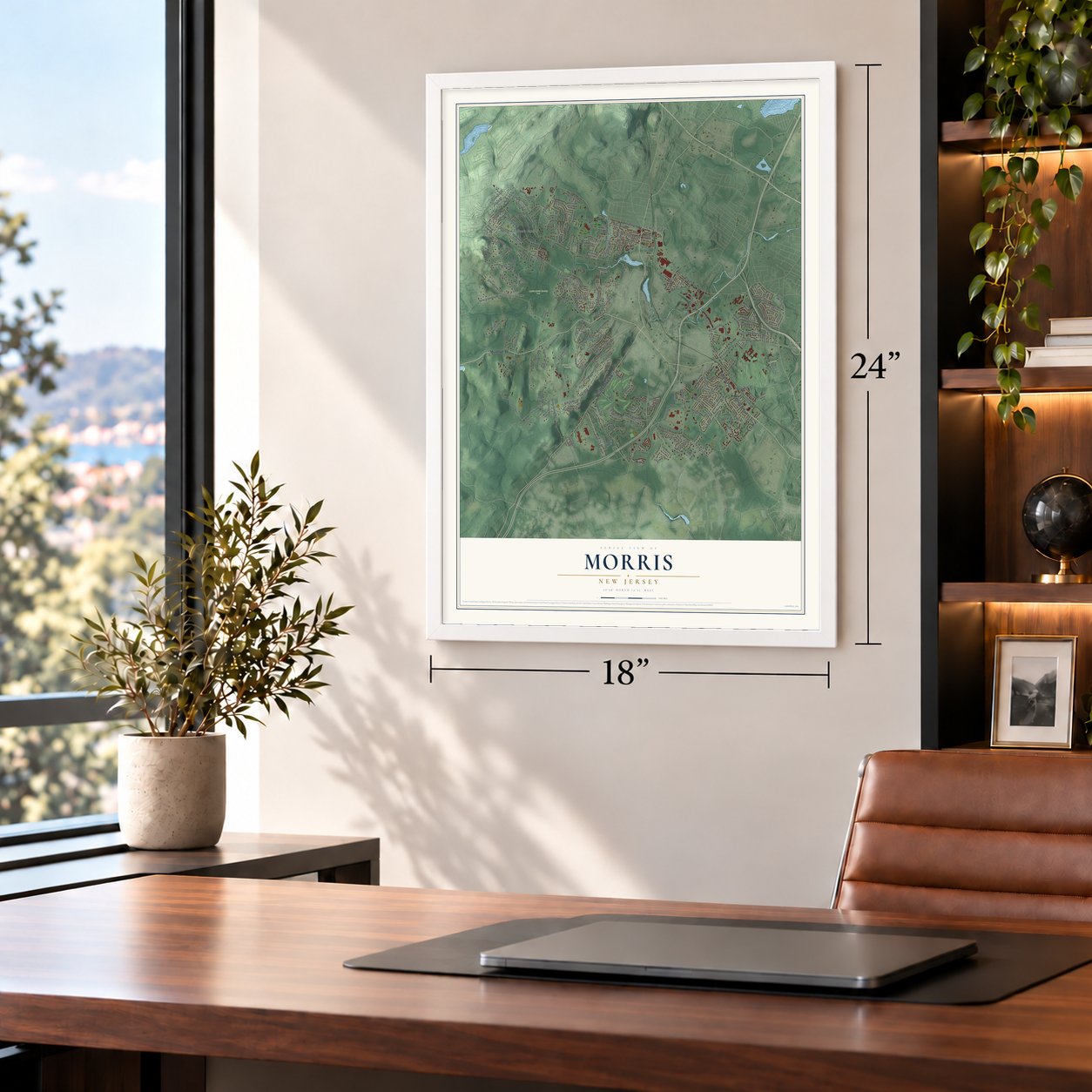

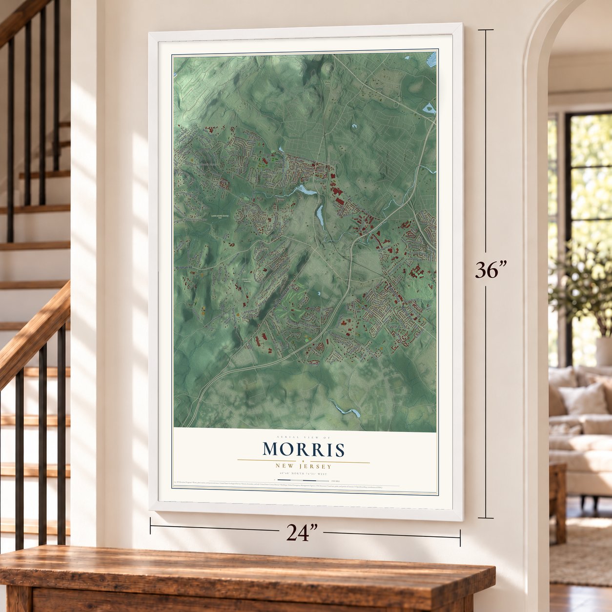

Free U.S. delivery 7 to 10 days after you order
Morris, New Jersey Map Art
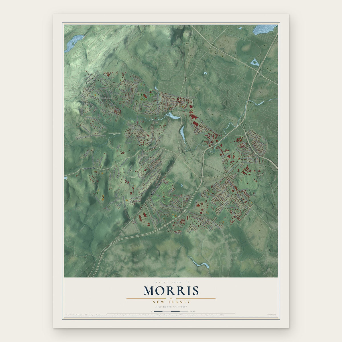
A new map of Morris, New Jersey, made in 2026 and printed to order on thick archival matte paper.
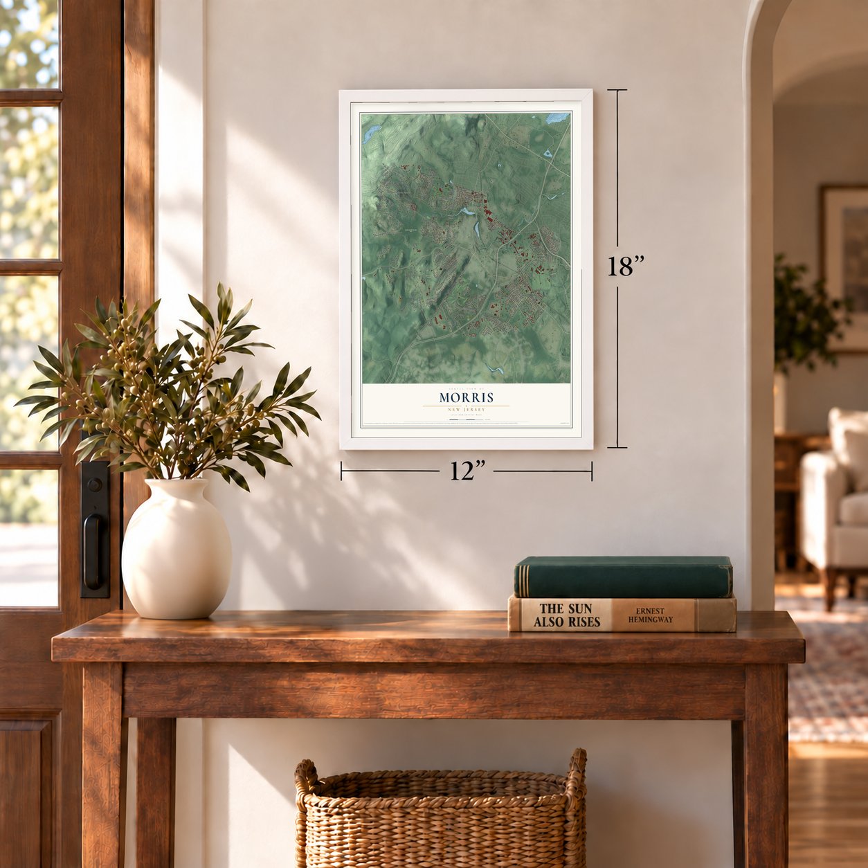
12" x 18" Archival Matte Print
A Map of Home. A Work of Art.
Bring a piece of Morris home. Whether it’s where you grew up, your current home, or simply a moment in your life, this Morris, New Jersey map print brings those memories to your wall. Antique-inspired styling and modern geographic detail combine to create artwork that’s beautiful from across the room, with plenty to study and explore when you get up close.
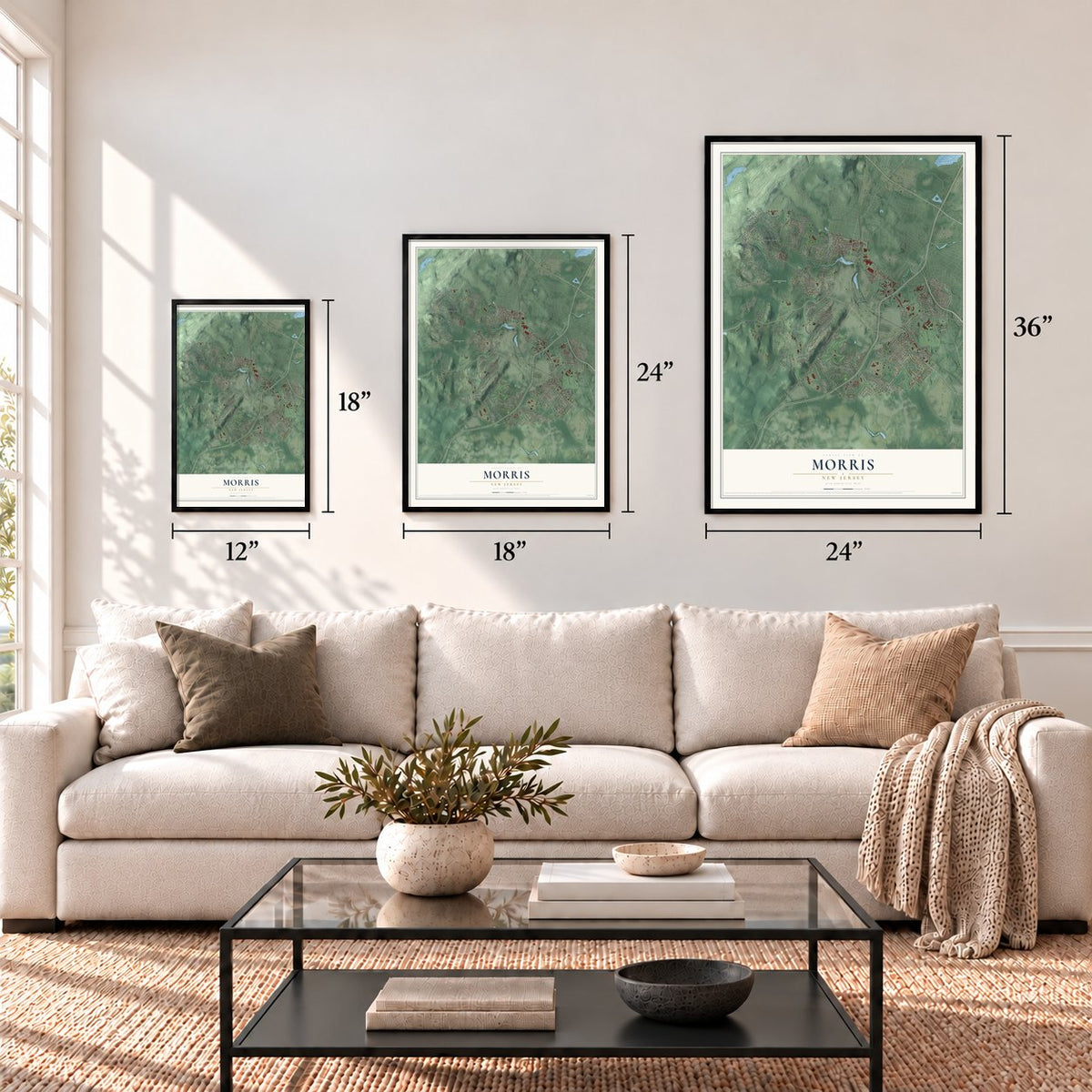
Three ways to hang it
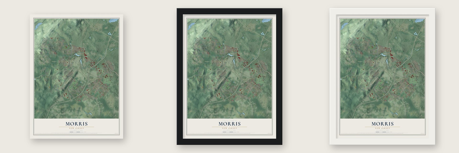
Unframed archival matte, a black wood frame or a white wood frame.
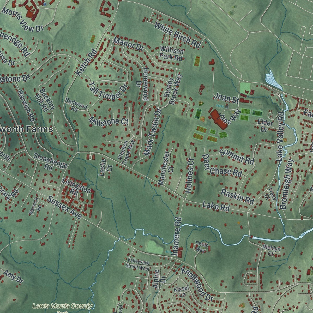
Up close
Real geography. Art worth displaying.
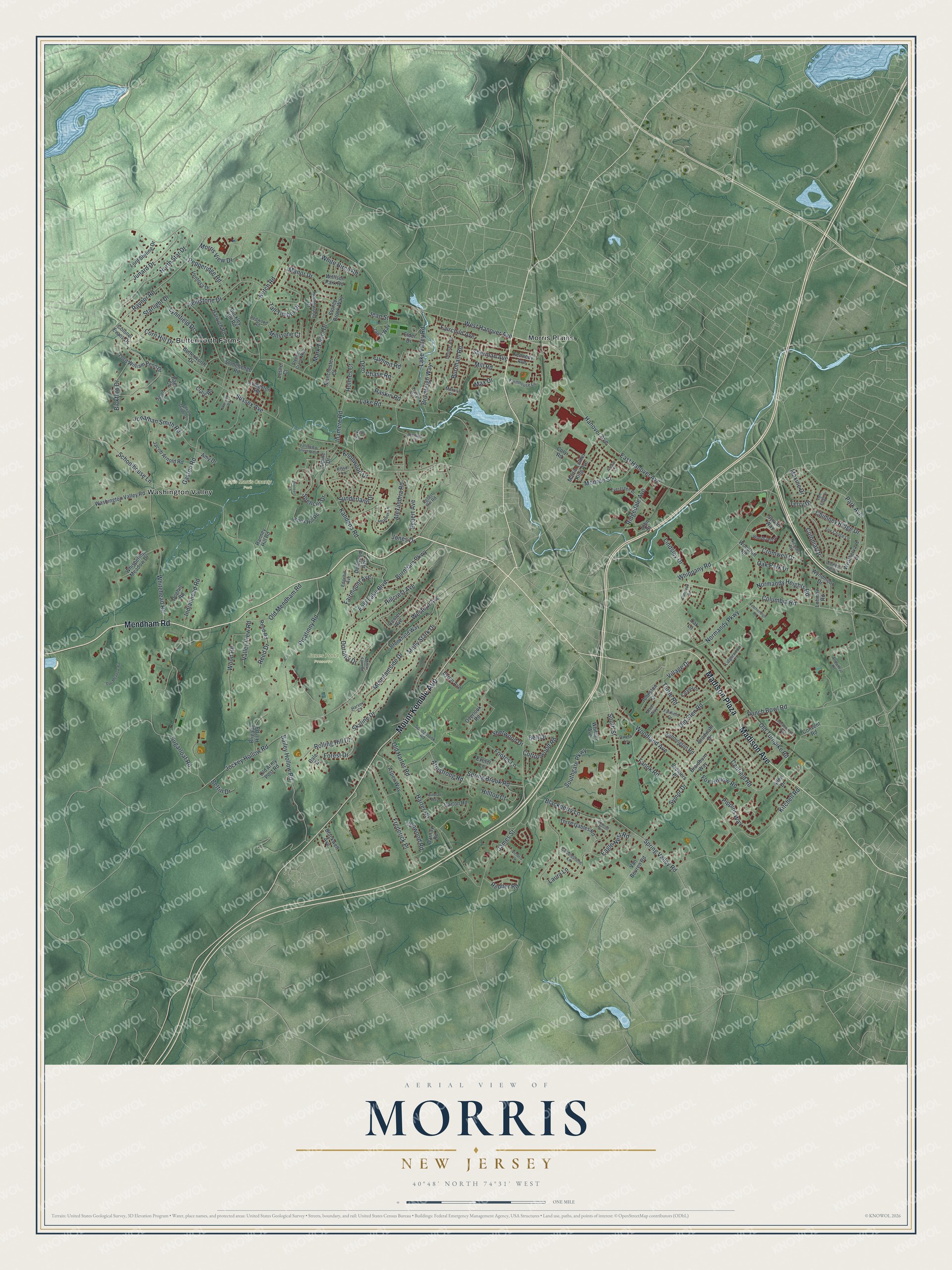
This map was created using accurate cartographic data and authoritative geographic sources, including the U.S. Geological Survey (USGS) and FEMA. The map brings together terrain, waterways, roads, and building detail. The majority of the streets are labeled, houses are accurately depicted, and the topography is derived from government sources. Combining local data with carefully composed color and shading leads to this beautifully detailed Morris artwork for your wall.
Rather than simply showing street outlines, we’ve included as many of the street names as we could reasonably fit on the map while keeping their names legible. Zoom in on the high resolution preview to see exactly what’s on the map. We truly set out to create a statement piece for anyone who loves Morris. So whether it’s for you, or a gift for someone you love, we hope this map of Morris brings back fond memories.
Explore the full map of Morris, New Jersey and read about the local places it shows.

About Morris, New Jersey
Morris is documented as a township in Morris County, and the 2020 census recorded 22,974 residents there. Its civic record reaches to February 21, 1798, when it was incorporated or formally organized, a date that remains part of the community's established local identity.
- 22,974 peopleThe United States census recorded this population in 2020.
- Morris CountyMorris is identified as a township in this New Jersey county.
- Organized in 1798The community was incorporated or formally organized on February 21, 1798.
Find your street
Names on the Morris map
Every name below is printed on this map. Look for your street, your school, the park where you played, or the pond down the road.
Places and landmarks5
- Jones Pond Preserve
- Lewis Morris County Park
- Butterworth Farms
- Morris Plains
- Washington Valley
Streets and roads216
- Mendham Road
- Mount Kemble Avenue
- Madison Avenue
- Madison Plaza
- West Hanover Avenue
- Columbia Road
- South Street
- Park Avenue
- Armstrong Road
- East Hanover Avenue
- Hanover Avenue
- Sussex Avenue
- Western Avenue
- Lake Road
- Burnham Road
- Spring Brook Road
- Lake Valley Road
- Skyline Drive
- Whippany Road
- Woodland Avenue
- Harter Road
- James Street
- Southgate Parkway
- Kitchell Road
- Picatinny Road
- Laura Lane
- Ketch Road
- Whitehead Road
- Raynor Road
- Canfield Road
Show all 216 streets
- Gaston Road
- Kahdena Road
- Chimney Ridge Drive
- North Star Drive
- Eagle Nest Road
- Frederick Place
- Bailey Hollow Road
- Old Turnpike Road
- Hillcrest Avenue
- Alexandria Road
- Sugarloaf Road
- Fieldstone Drive
- Rolling Hill Drive
- Pippins Way
- Jockey Hollow Road
- Old Harter Road
- Burnham Parkway
- Fanok Road
- Punch Bowl Road
- Old Glen Road
- Spencer Drive
- Egbert Avenue
- Mill Road
- Wood Road
- Tall Timber Drive
- Old Mendham Road
- Normandy Parkway
- Fairchild Avenue
- Spring Valley Road
- Blackberry Lane
- Lynnfield Drive
- Dorothy Drive
- Normandy Heights Road
- Symor Drive
- Schoolhouse Lane
- Molly Stark Drive
- Jonathan Smith Road
- Mountainside Drive
- Mark Twain Drive
- Junard Drive
- Manor Drive
- Monroe Street
- Morris View Drive
- Sunderland Drive
- Knollwood Drive
- Corn Hill Drive
- Starlight Drive
- Fairmount Avenue
- Ridgedale Avenue
- White Birch Road
- Ironwood Road
- Colonial Drive
- Cromwell Drive
- Pepperidge Road
- Lindsley Drive
- Bickford Drive
- Fox Hollow Road
- Bromleigh Way
- Footes Lane
- Indianhead Road
- East Lake Boulevard
- Reed Drive
- Deer Chase Road
- Inamere Road
- Sherman Avenue
- Forest Drive
- Valley View Road
- Turtle Road
- Terry Drive
- Cottonwood Road
- Redner Road
- Jean Street
- Holmes Court
- Summit Road
- Sherwood Drive
- Village Drive
- Maxine Drive
- Millstone Court
- Hilltop Court
- Oak Park Drive
- Raskin Road
- Bell Drive
- Max Drive
- Bettin Drive
- Jones Drive
- Van Beuren Road
- Convent Road
- Washington Valley Road
- Lord William Penn Drive
- Buckley Hill Road
- Stonehenge Road
- Harwich Road
- Brookfield Way
- Old Army Post Road
- Jacob Arnold Road
- Bradwahl Drive
- Center Avenue
- Knox Hill Road
- Jane Way
- Wyndmoor Drive
- Martin Luther King Avenue
- Homewood Drive
- Colonel Evans Drive
- Woodruff Road
- Reed Road
- Whispering Meadow Drive
- Bennington Road
- Ventosa Drive
- Brigade Hill Road
- Aspen Way
- Carton Road
- Three Gables Road
- Whitney Avenue
- Weathervane Drive
- Butterworth Drive
- Overlook Road
- Stoney Brook Way
- Cory Road
- Lord Stirling Drive
- Johnston Drive
- Manchester Court
- Kennedy Avenue
- Ranney Hill Road
- Dale Drive
- Alpine Drive
- Exeter Lane
- John Street
- Doehill Road
- Darnay Road
- Byron Avenue
- Lohman Road
- Braidburn Way
- Willison Park Road
- Craig Road
- Livingston Road
- Sylvan Way
- Brothers Place
- Blackwell Avenue
- Oak Lane
- Dellwood Avenue
- Amy Drive
- Baer Court
- Elder Drive
- Leslie Court
- Allen Drive
- Lidgerwood Place
- Egbert Hill Road
- Springbrook Road
- Farmhouse Lane
- Cobblestone Lane
- Fairfield Drive
- Woodcrest Drive
- Redwood Road
- Fox Chase Lane
- Evergreen Place
- Arbor Way
- Dwyer Lane
- Stephen Crane Way
- Nichols Road
- Delmar Avenue
- Edgehill Avenue
- Heather Lane
- Catalpa Drive
- Jason Lane
- Cedar Lane
- Kissel Lane
- Tracy Court
- Richlyn Court
- Harvey Court
- Morris Place
- Vom Eigen Drive
- Arrowhead Road
- Squirrel Run
- Tikvah Way
- Edward Shippen Lane
- Independence Way
- Pioneers Lane
- Windsor Way
- Valleyview Street West
- Doe Meadow Road
- Powder Horn Drive
- Victoria Lane
- Featherleigh Road
- Olmstead Road
- Millers Farm Road
- Warwick Road
Names are listed as they appear on the printed map. Zoom into the product photos to find them.
The art of mapping a place
How This Map Was Made
Real places. Remarkable detail. Discover the layers that turn geographic data into a map of home.

The view from above
Aerial imagery reveals the character of the land: woodland, open fields, and the patterns of a place.

The shape of the land
Elevation data brings hills, valleys, and subtle changes in the landscape into view.

The details of home
Roads, waterways, and building footprints come together to make the map feel unmistakably local.

Geography becomes art
Considered color, shading, and typography bring the layers together in a map made for your wall.


Process illustrated with Mendon, Massachusetts. Aerial imagery: USDA NAIP. Terrain: USGS 3D Elevation Program. Map details and finished artwork: KNOWOL.
The Details
About This Print
Choose an archival matte print, or a black or white Ayous wood frame. The archival matte print is unframed.
Select your size and finish above to see the matching product image and price.
Materials & Craftsmanship
A contemporary map with the character of a classic atlas, printed on archival matte paper. Optional frames are made from Ayous wood.
Your printed map does not include the watermark shown in the full-map preview.
Shipping & Delivery
Free shipping within the United States. Every print is made to order in the USA.
Buying a gift? Add a note in your cart and we'll include it. We never put prices in the package.
Prints ship within 2 to 3 business days. Allow 7 to 10 days total from ordering for delivery. Timing may vary during holidays or periods of high order volume.
Read our shipping policy.
Returns and damaged prints
Each print is made to order. Change-of-mind refunds are not available after production.
If your print arrives damaged, misprinted or incorrect, contact support@knowol.com within 30 days of receiving it. Include your order number, photos and a description of the issue.
Read our full refund and replacement policy. For questions about your order, email support@knowol.com.
Find your town
Looking for another city?
Find a map of home in our New Jersey collection.
Nearby
Maps of towns near Morris
Know someone from one of these towns? Their map makes a great gift.