
Search for another town



Free U.S. delivery 7 to 10 days after you order
New Albany, Ohio Map Art
A new map of New Albany, Ohio, made in 2026 and printed to order on thick archival matte paper.
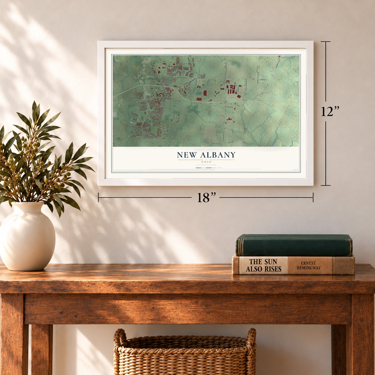
12" x 18" Archival Matte Print
A Map of Home. A Work of Art.
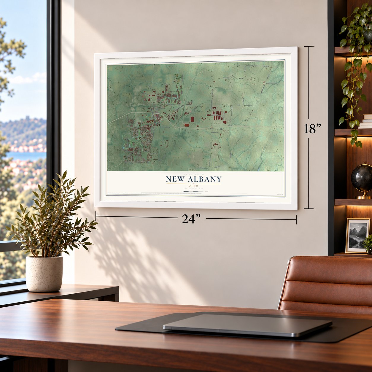
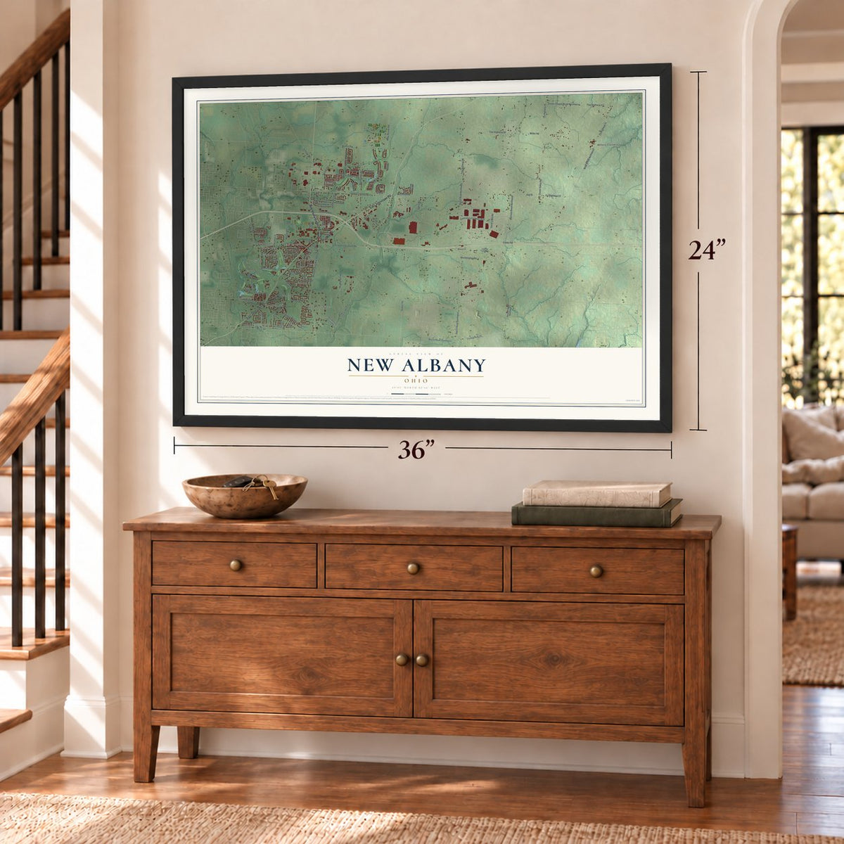
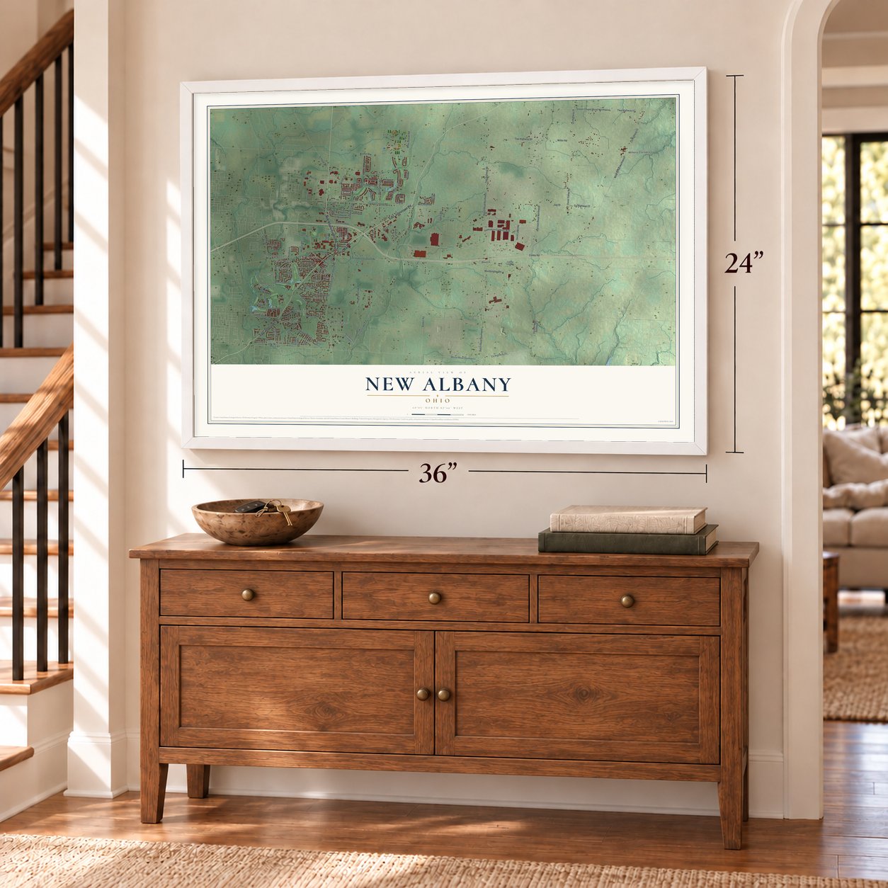
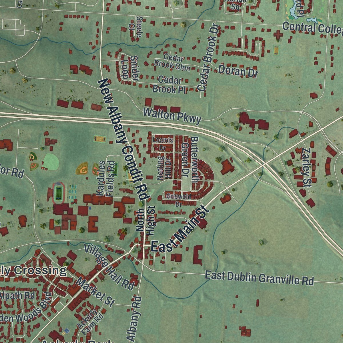
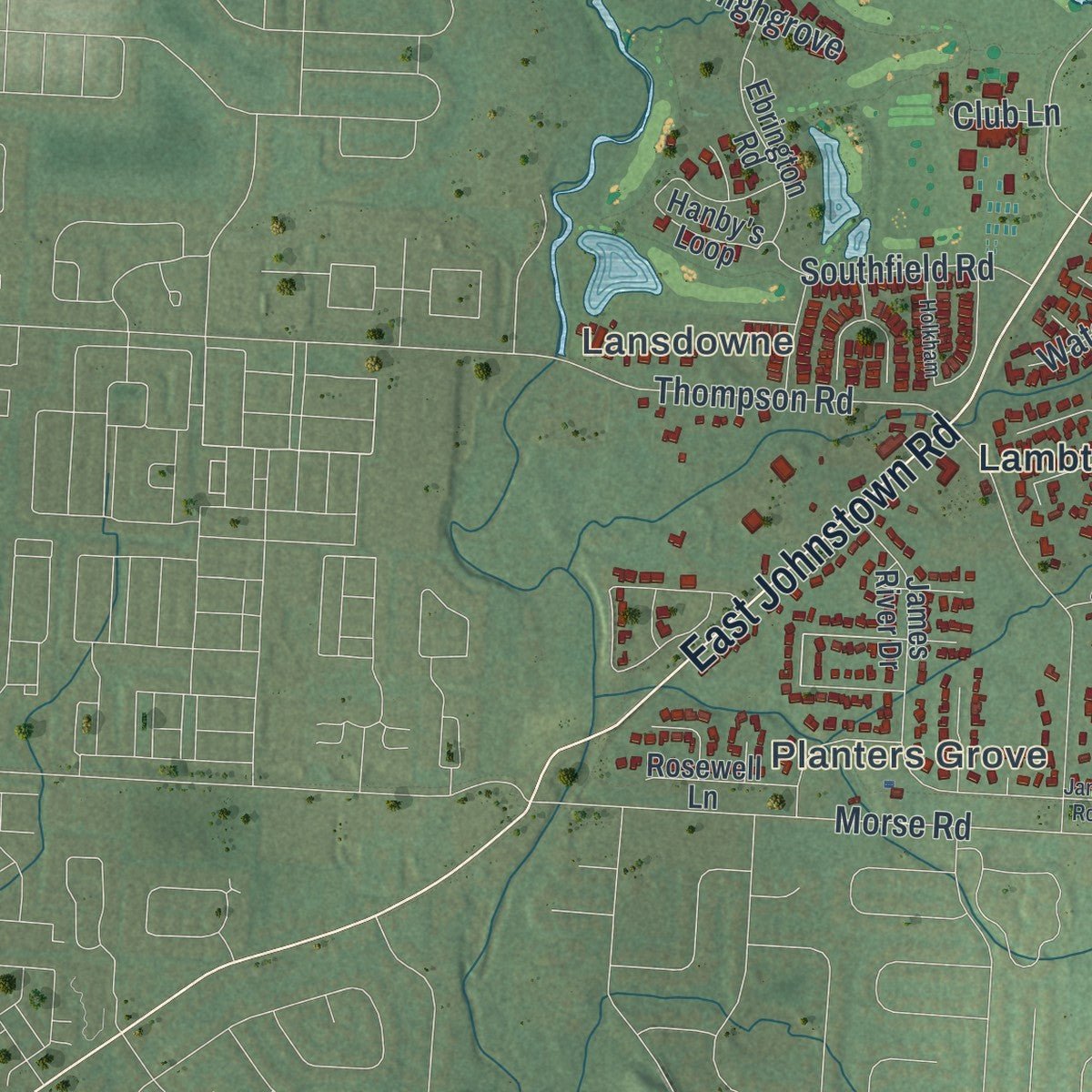
Explore New Albany, Ohio from a whole new perspective. Created using aerial imagery and detailed geographic data, this map captures New Albany building by building, with labeled streets, familiar landmarks, and shaded topographical relief that highlights the natural contours of the landscape.
Combining modern data with the timeless character of a vintage atlas, this map is just as interesting up close as it is beautiful on the wall. Whether you grew up in New Albany, spent memorable years there, or call it home today, this unique map is a great way to celebrate a place that means something to you. Zoom in on the preview to look for your street, and then order a print to put your memories on the wall.

Three ways to hang it
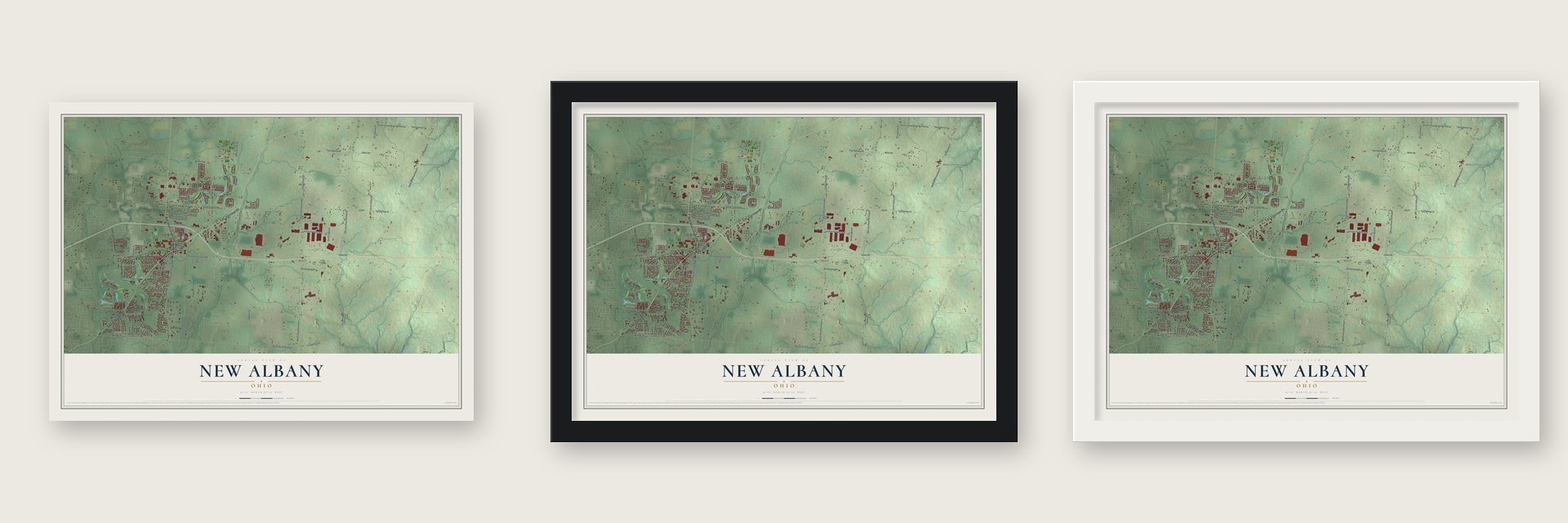
Unframed archival matte, a black wood frame or a white wood frame.
Up close
Geography Worth Displaying
This map was created using accurate cartographic data and authoritative geographic sources, including the U.S. Geological Survey and the Census Bureau. The map brings together terrain, waterways, roads, and building detail. The majority of the streets are labeled, houses are accurately depicted, and the topography is derived from government sources. Combining local data with carefully composed color and shading leads to this beautifully detailed New Albany artwork for your wall.
Rather than simply showing street outlines, we’ve included as many of the street names as we could reasonably fit on the map while keeping their names legible. Zoom in on the high resolution preview to see exactly what’s on the map. We truly set out to create a statement piece for anyone who loves New Albany. So whether it’s for you, or a gift for someone you love, we hope this map of New Albany brings back fond memories.
Read the story behind this map of New Albany, Ohio from 2026.

About New Albany, Ohio
New Albany is a city of 10,825 people, mostly in Franklin County, with a small part reaching into Licking County, about 15 miles northeast of Columbus. Nobel Landon and William Yantis founded it in 1837 in the middle of Plain Township. They divided the ground into lots 50 by 100 feet and sold them to newcomers. The name may come from early settlers who had moved west from around Albany, New York, and for a time the place was also called Hope.
The village was incorporated in 1856 with just 50 residents and chose S. Ogden as its first mayor. It stayed small for more than a century, and the 1980 census found only 414 people. That changed in the 1990s, when Les Wexner's clothing business expanded here and he built his mansion in the village. Around the same time, State Route 161 and its link to I-270 were rebuilt, giving the town freeway access.
- Archibald Smith's sawmillIn 1833 Archibald Smith started building a sawmill near the spot where a small stream runs into Blacklick Creek. A July flood wiped out his work that same year, but he started over and had the mill running the following year. As he cleared his land for farming, the mill sawed the felled timber into boards. Dr. Isaac Newton Smith, his son, remembered it as Blacklick Creek's first mill and recalled area mills sawing oak, butternut, chestnut and walnut.
- A downtown mill from 1881The Wilkins Lumber Mill opened in 1881 and later became the New Albany Mill. Over time the old sawmill was turned into a hardware store, and it became part of daily life for many residents. It finally closed in 2008.
- A woman mayor in 1922In 1922 the village elected Mrs. Edward Babbitt, the first woman to serve as New Albany's mayor.
- Founders Day since 1976New Albany held its first Founders Day Celebration in 1976. Every May since then, residents have marked the town's beginnings with a parade, a festival, rides, vendors and street performers.
- America's largest walk-only raceThe New Albany Walking Classic, a 10K for walkers only, began in 2005 and is held each year in early September. Walk magazine named it the country's best walking event in 2008, and the 2009 race had more than 2,600 finishers. Its success led local leaders to form the nonprofit Healthy New Albany and open the Philip Heit Center for Healthy New Albany.
Find your street
Names on the New Albany map
Every name below is printed on this map. Look for your street, your school, the park where you played, or the pond down the road.
Places and landmarks16
- Planters Grove
- Millers Corners
- Lansdowne
- Bevelhymer Park
- Ackerly Park
- Beech
- Clivdon
- Clivdon Mews
- Ealy Crossing
- Fenway
- Hampstead Heath
- Lambton Park
Show all 16 places
- New Albany Farms
- Pickett Place
- Waterston
- Wiveliscombe
Streets and roads111
- East Johnstown Road
- East Main Street
- New Albany Condit Road
- Smith's Mill Road
- East Dublin Granville Road
- Worthington Road
- Walton Parkway
- Twp Highway 88
- Morse Road Southwest
- County Highway 25
- Twp Highway 63
- Dean Farm Road
- County Highway 26
- Kitzmiller Road
- Central College Road
- Beech Road Northwest
- Miller Road
- Twp Highway 89
- County Highway 41
- Mink Street Northwest
- County Highway 22
- Jug Street
- Green Chapel Road Northwest
- Morse Road
- Bevelhymer Road
- Beech Road Southwest
- Clover Valley Road
- Harlem Road
- Reynoldsburg New Albany Road
- Lambton Park Road
Show all 111 streets
- New Albany Road East
- Walnut Street
- Whitebarn Road
- New Albany Links Drive
- Harrison Road Northwest
- Yantis Drive
- Babbitt Road
- Greensward Road
- Innovation Campus Way
- Fenway Road
- Thompson Road
- Forest Drive
- Fodor Road
- Olmsted Road
- Market Street
- Southfield Road
- Jersey Drive
- Peter Hoover Road
- Cedar Brook Drive
- Village Hall Road
- Evans Road
- Souder Road
- Cobbs Road
- Highgrove
- McClellan Drive
- Schleppi Road
- Club Lane
- Morgan Road
- Zarley Street
- Doran Drive
- Gilg Street
- New Albany Farms Road
- Baughman Grant
- James River Drive
- Ogden Woods Boulevard
- Brandon Road
- Snider Loop
- Harrison Road Southwest
- Alpath Road
- Butterworth Green Drive
- Hanby's Loop
- Margarum Bend
- Head of Pond Road
- Lucille Lynd Road
- Ebrington Road
- West Campus Road
- Maynard Place
- Fernridge Drive
- Camden Drive
- Kardules Fields Road
- Stone Gate Drive
- Cedar Brook Place
- Willow Grove
- Harper Lane
- Meadway Drive
- Eyre Hall Pass
- Aldie Mill Drive
- Rosewell Lane
- Landon Lane
- Straits Linnk
- Jason Court
- North High Street
- Aspinwall South
- Ackerly Farm Road
- Wolcott Loop
- Harlan Square
- Cunningham Drive
- Plainview Drive
- Cedar Brook Glen
- Vaux Link
- Notting Hill Drive
- Milton Court
- Steele Court
- Griswold Drive
- Tumblebrook Drive
- Farber Court
- James River Road East
- West Campus Oval
- Holkham
- Fort Ward Drive
- Loomis Drive
Names are listed as they appear on the printed map. Zoom into the product photos to find them.
The art of mapping a place
How This Map Was Made
Real places. Remarkable detail. Discover the layers that turn geographic data into a map of home.

The view from above
Aerial imagery reveals the character of the land: woodland, open fields, and the patterns of a place.

The shape of the land
Elevation data brings hills, valleys, and subtle changes in the landscape into view.

The details of home
Roads, waterways, and building footprints come together to make the map feel unmistakably local.

Geography becomes art
Considered color, shading, and typography bring the layers together in a map made for your wall.


Process illustrated with Mendon, Massachusetts. Aerial imagery: USDA NAIP. Terrain: USGS 3D Elevation Program. Map details and finished artwork: KNOWOL.
The Details
About This Print
Choose an archival matte print, or a black or white Ayous wood frame. The archival matte print is unframed.
Select your size and finish above to see the matching product image and price.
Materials & Craftsmanship
A contemporary map with the character of a classic atlas, printed on archival matte paper. Optional frames are made from Ayous wood.
Your printed map does not include the watermark shown in the full-map preview.
Shipping & Delivery
Free shipping within the United States. Every print is made to order in the USA.
Buying a gift? Add a note in your cart and we'll include it. We never put prices in the package.
Prints ship within 2 to 3 business days. Allow 7 to 10 days total from ordering for delivery. Timing may vary during holidays or periods of high order volume.
Read our shipping policy.
Returns and damaged prints
Each print is made to order. Change-of-mind refunds are not available after production.
If your print arrives damaged, misprinted or incorrect, contact support@knowol.com within 30 days of receiving it. Include your order number, photos and a description of the issue.
Read our full refund and replacement policy. For questions about your order, email support@knowol.com.
Find your town
Looking for another city?
Find a map of home in our Ohio collection, or any town in the country.
Nearby
Maps of towns near New Albany
Know someone from one of these towns? Their map makes a great gift.
 Jersey
, Ohio
From $39.99See the map
 Pataskala
, Ohio
From $39.99See the map
 Johnstown
, Ohio
From $39.99See the map
More maps nearby: Gahanna, Huber Ridge, Beechwood Trails, Westerville and Alexandria.