
Search for another town




Free U.S. delivery 7 to 10 days after you order
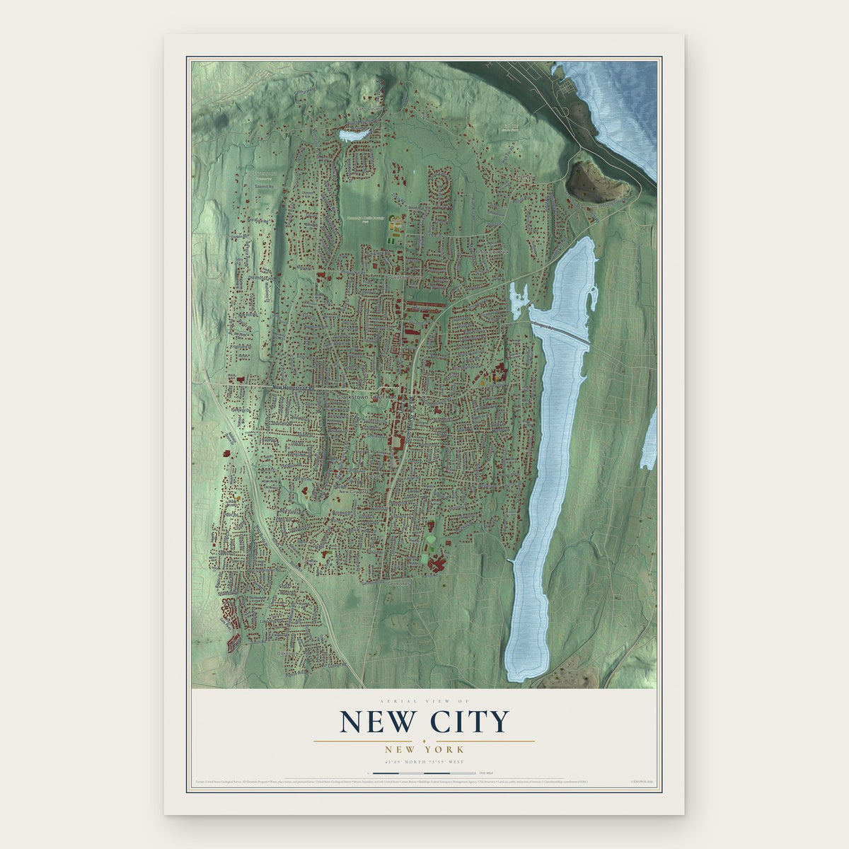
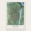
New City, New York Map Art
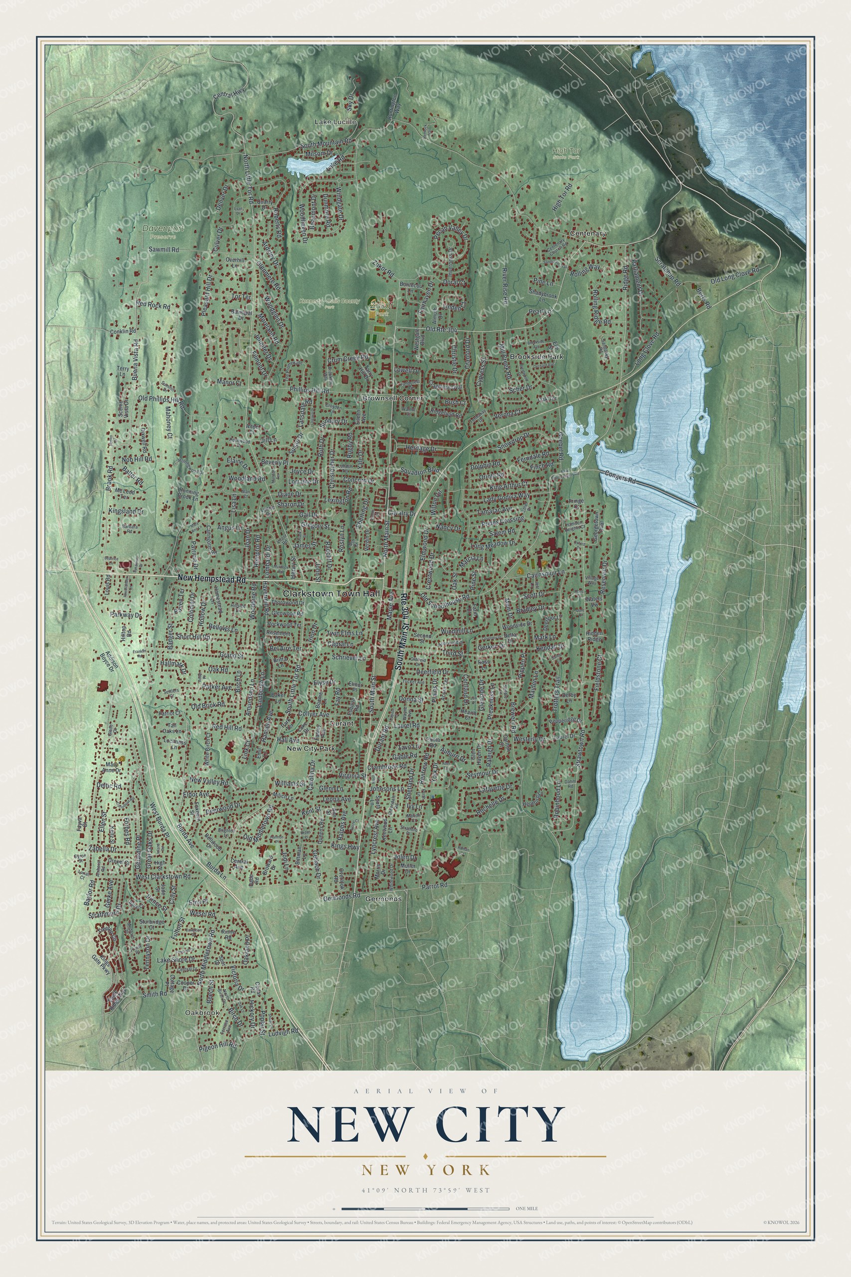
A new map of New City, New York, made in 2026 and printed to order on thick archival matte paper.
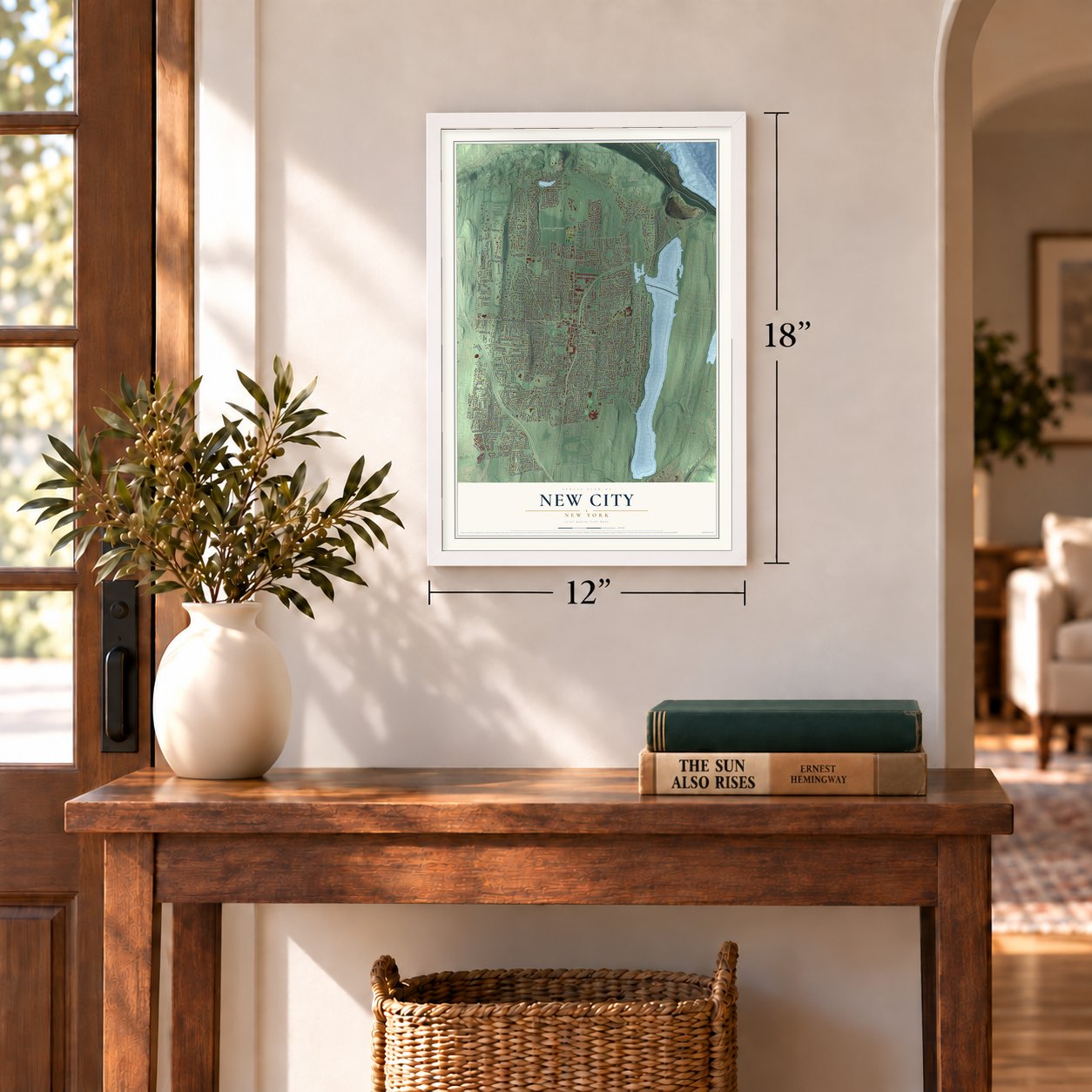
12" x 18" Archival Matte Print
A Map of Home. A Work of Art.
Bring a piece of New City home. Whether it’s where you grew up, your current home, or simply a moment in your life, this New City, New York map print brings those memories to your wall. Antique-inspired styling and modern geographic detail combine to create artwork that’s beautiful from across the room, with plenty to study and explore when you get up close.
Three ways to hang it
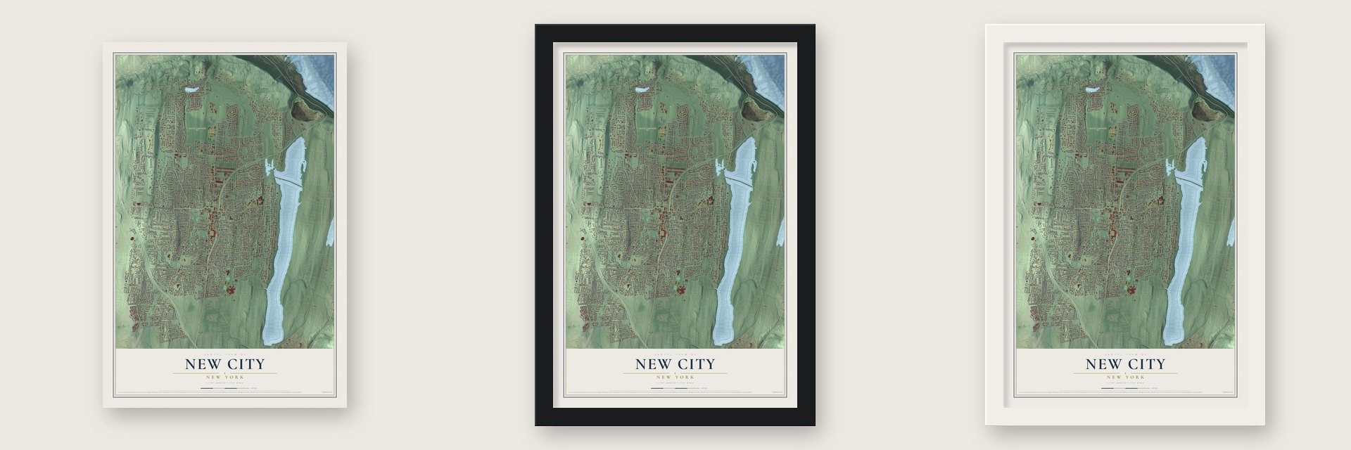
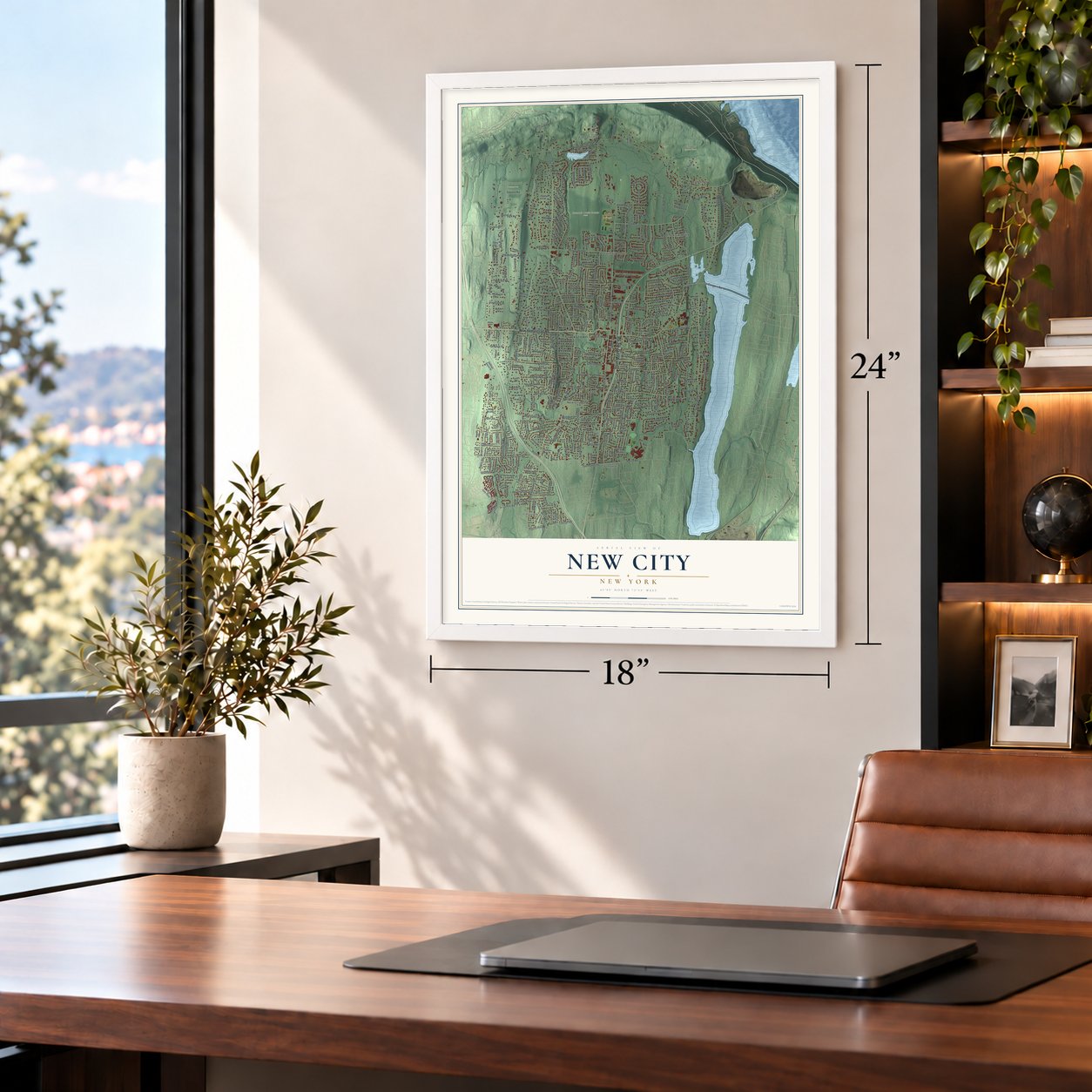
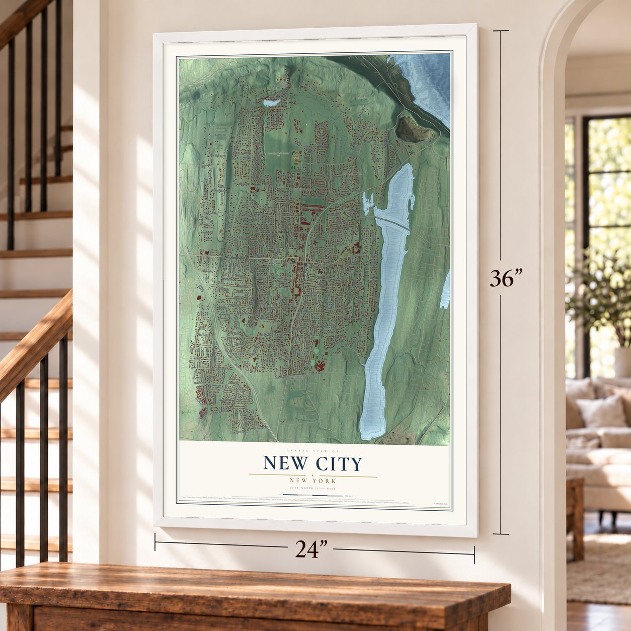
Unframed archival matte, a black wood frame or a white wood frame.
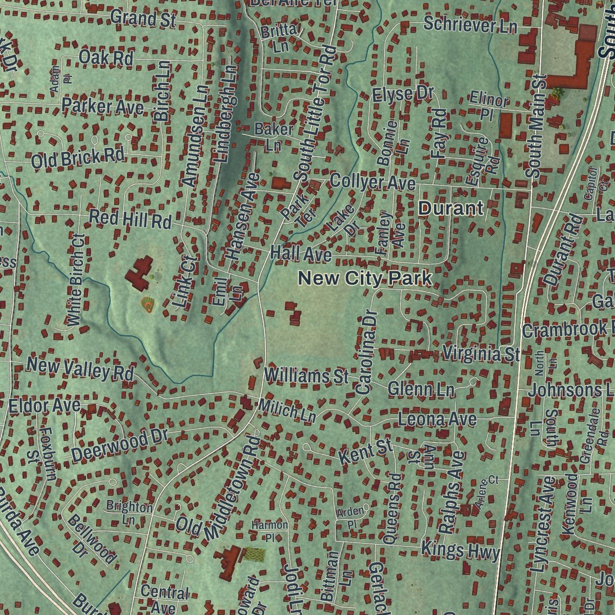
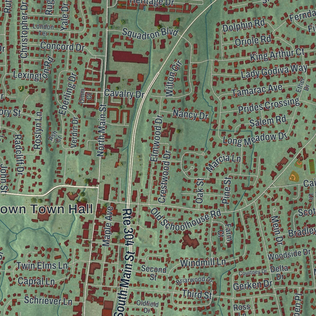
Up close
Real geography. Art worth displaying.
This map was created using accurate cartographic data and authoritative geographic sources, including the U.S. Geological Survey (USGS) and FEMA. The map brings together terrain, waterways, roads, and building detail. The majority of the streets are labeled, houses are accurately depicted, and the topography is derived from government sources. Combining local data with carefully composed color and shading leads to this beautifully detailed New City artwork for your wall.
Rather than simply showing street outlines, we’ve included as many of the street names as we could reasonably fit on the map while keeping their names legible. Zoom in on the high resolution preview to see exactly what’s on the map. We truly set out to create a statement piece for anyone who loves New City. So whether it’s for you, or a gift for someone you love, we hope this map of New City brings back fond memories.
Explore the full map of New City, New York and read about the local places it shows.
About New City, New York
New City, a city, lies in Rockland County. The 2020 census counted 35,101 residents. Its local story is tied to the communities and institutions of Rockland County. Those details remain part of the place residents know today.
- Rockland CountyNew City is located in Rockland County.
- 35,101 peopleCounted in the 2020 census.
- River and lakeA suburb of New York City, the hamlet is located 18 miles (29 km) north of the city at its closest point, Riverdale, Bronx.
- Local landmarkWithin Rockland County, New City is located north of Bardonia, northeast of Nanuet, east of New Square and New Hempstead, south of West Haverstraw and the village of Haverstraw, and.
- The nameZukor Park, located just south of the country club, is also named after the producer.
Find your street
Names on the New City map
Every name below is printed on this map. Look for your street, your school, the park where you played, or the pond down the road.
Places and landmarks13
- Clarkstown Town Hall
- Oakbrook
- Lake Lucille
- Davenport Preserve
- High Tor State Park
- Kennedy - Dells County Park
- Zukor Park
- Brookside Park
- Brownsell Corner
- Centenary
- Durant
- Germonds
Show all 13 places
- New City Park
Streets and roads412
- New Hempstead Road
- South Main Street
- Route 304
- Brook Road
- North Main Street
- Buena Vista Road
- North Little Tor Road
- South Little Tor Road
- Woodhaven Drive
- Milsom Drive
- South Mountain Road
- West Clarkstown Road
- Strawtown Road
- Phillips Hill Road
- Congers Road
- Old Route 304
- Brewery Road
- Ridge Road
- Zukor Road
- Germonds Road
- Tennyson Drive
- Burda Avenue
- Burda Lane
- Red Hill Road
- Parrot Road
- West Burda Place
- North Middletown Road
- Goebel Road
- Susan Drive
- Heritage Drive
Show all 412 streets
- Laurel Road
- Havermill Road
- Third Street
- Long Meadow Drive
- Red Rock Road
- Carolina Drive
- Grand Street
- Woodglen Drive
- Pleasant Hill Drive
- Poplar Street
- Central Highway
- Kings Highway
- Gerardine Place
- Deerfield Drive
- New Valley Road
- Long Clove Road
- Sawmill Road
- Old Long Clove Road
- Smith Road
- Pecan Valley Drive
- Joan Drive
- Cranford Drive
- Old Phillips Hill Road
- Roberts Road
- Shetland Drive
- Rolling Ridge Road
- Hall Avenue
- Snowdrop Drive
- Windmill Lane
- Mark Lane
- River Rise Road
- Lady Godiva Way
- Eberling Drive
- Ardsley Drive
- Ruth Drive
- Badger Street
- Cairnsmuir Lane
- Collyer Avenue
- Windgate Drive
- Parliament Drive
- York Drive
- Lafayette Drive
- Sky Drive
- Culver Drive
- King Arthur Court
- High Tor Road
- Schriever Lane
- Elmwood Drive
- Squadron Boulevard
- Lyncrest Avenue
- Leona Avenue
- Reservoir Drive
- Prides Crossing
- Glenside Drive
- Scher Drive
- Woodland Road
- Cypress Street
- Lowell Drive
- Amundsen Lane
- Renfrew Road
- Pine Street
- Yale Drive
- Doral Court
- Westerly Drive
- Oakland Place
- Twin Elms Lane
- Christopher Drive
- Bellows Lane
- Trotters Trail
- Woodbine Road
- Capral Lane
- Rolling Way
- Birch Lane
- Old Middletown Road
- Short Hill Road
- Kendall Drive
- Lindbergh Lane
- Ferndale Road
- Strathmore Drive
- Fieldstone Court
- Deerwood Drive
- Seymour Drive
- Beaumont Drive
- Verona Court
- Mill Creek Road
- Ludvigh Road
- Nob Hill Road
- Dolphin Road
- Linden Court
- Tamarac Avenue
- Scratchup Road
- Parker Avenue
- Gregory Street
- Rochelle Drive
- Concord Drive
- Colonial Drive
- Robinhood Lane
- Old Schoolhouse Road
- Maple Avenue
- Denver Drive
- Maiden Lane
- Gable Road
- Old Brick Road
- Radcliff Drive
- Jodi Lane
- Fairhaven Drive
- Oriole Road
- Virginia Street
- Crum Creek Road
- Ellen Street
- Hollow Drive
- Plains Drive
- Scott Drive
- Williams Street
- Tavo Lane
- Beech Street
- Oak Road
- Bradley Drive
- Elyse Drive
- Eldor Avenue
- Patricia Drive
- Salem Road
- Kent Street
- Zabella Drive
- Great Oaks Drive
- Lexington Road
- Lake Shore Drive
- Diane Drive
- Preakness Lane
- Gail Drive
- Hemptor Road
- Moreland Road
- Pippen Place
- Tor Terrace
- Durant Road
- Finch Road
- John Street
- Crambrook Road
- Baylor Road
- Prince Street
- Lombardi Drive
- Christie Drive
- Pigeon Hill Road
- Gerlach Drive
- Jolen Drive
- Hansen Avenue
- Parkway Drive
- Johnsons Lane
- Hickory Drive
- James Street
- Raleigh Drive
- Etna Place
- Glenmere Road
- Birch Drive
- Balter Road
- Crestwood Drive
- Jennifer Drive
- Cortland Drive
- Auburn Drive
- Roslyn Lane
- Irion Drive
- Victoria Drive
- Glenn Lane
- Pearl Lane
- Dunmore Road
- Angus Lane
- Ralphs Avenue
- Lansdale Road
- Mahoney Court
- Manor Court
- Mein Drive
- Clay Street
- Kingsland Drive
- Gerke Avenue
- Donna Street
- Wesel Road
- Deltic Road
- Elaine Drive
- Filmont Drive
- Lisa Lane
- Nancy Drive
- Bel Aire Terrace
- Hallmark Drive
- Raven Terrace
- Forbes Road
- Pine Lane
- Link Court
- Fulton Street
- Beverly Place
- Marcia Lane
- Fay Road
- Sharon Drive
- Sunbury Drive
- Lorraine Drive
- Joyce Drive
- Cavalry Drive
- Wilton Circle
- Gerken Drive
- Rugby Road
- Henry Street
- Lake Road
- Berts Road
- Jill Lane
- Oak Street
- Bush Court
- Ivy Lane
- Treetop Circle
- Kings Gate Parkway
- Elm Street
- Eagle Ridge Way
- Cragmere Oval
- Huntington Way
- Cairngorm Road
- Verdin Drive
- Georgetown Oval
- Addison Boyce Drive
- Woodside Drive
- Second Street
- Bellwood Drive
- Inverness Drive
- Pepperidge Drive
- Homestead Lane
- Louis Road
- White Birch Court
- Foxburn Street
- Glen Haven Drive
- Dixwell Road
- Drexel Court
- Broward Drive
- Tarry Hill Drive
- Kenwood Lane
- Scenic Vista Drive
- Rinne Road
- Acorn Terrace
- Thornwood Drive
- Glenwood Road
- Morris Drive
- Rockwood Terrace
- Queens Road
- Mc Leod Terrace
- Rosemont Drive
- Ridgefield Road
- Westgate Boulevard
- Mary Anne Drive
- Deerfoot Lane
- Bonnie Lane
- Lake Drive
- Spur Drive
- Ann Street
- Cottage Place
- Eileen Avenue
- Esquire Road
- Bontecou Lane
- Keltz Street
- Laurel Drive
- Shadybrook Lane
- Sturbridge Court
- Overlook Road
- Cooper Drive
- Hereford Lane
- Tall Oaks Lane
- Hearth Court
- Lochness Lane
- Farm Court
- Dade Road
- Fanley Avenue
- Overhill Lane
- Fringe Court
- Running Brook Lane
- Almuth Drive
- South Lane
- Hilltop Road
- Derby Lane
- Conklin Road
- Britta Lane
- Jade Street
- Carlton Court
- Patriot Court
- Baker Lane
- Elinor Place
- Quarry Drive
- Delta Drive
- Park Terrace
- Balmoral Drive
- Bittman Lane
- Punta Road
- Hidden Ridge
- Milich Lane
- Central Avenue
- Oak Terrace
- High Street
- Lynne Drive
- Waters Vw
- Terry Lane
- Cedar Road
- Emil Lane
- Muller Drive
- Fayva Court
- Ross Lane
- Alton Court
- Omni Court
- The Promenade
- Sandusky Road
- Tucker Avenue
- Hillside Drive
- Stratford Place
- Brookline Way
- London Terrace
- Rollingwood Drive
- Briarwood Drive
- Walnut Court
- Whitewood Drive
- Ethel Drive
- Terrace Avenue
- Central Drive
- Croyden Lane
- Greendale Road
- Amherst Road
- Hamden Heights Court
- Termakay Drive
- Alan Court
- North Birch Drive
- Centenary Church Road
- Saddle Lane
- Wayne Avenue
- Summit Drive
- Baltic Court
- Oldfield Drive
- Fieldcrest Drive
- Lariat Court
- Rosewood Drive
- Jeff Lane
- Village Way
- Trinity Place
- Barbara Road
- Medford Place
- Brighton Lane
- Settlers Court
- Dahm Road
- Marion Court
- Perth Lane
- Byron Street
- Glade Court
- Victor Road
- Ash Court
- Sandstone Trail
- Courtney Drive
- Hemlock Trail
- Corinthian Road
- Shady Lane
- Brentwood Drive
- Ungava Drive
- Foxcroft Drive
- Mandon Terrace
- New City-Congers Road
- Mary Ann Lane
- Arlene Court
- Carnation Drive
- Murdock Road
- Brookside Avenue
- Roman Court
- Rheinlander Lane
- Orchard Avenue
- Oak Lane
- Oxford Court
- Beatrice Lane
- Gallop Court
- Frank Street
- Arden Place
- Rone Court
- Sycamore Drive
- Capitol Court
- Adam Place
- Dore Court
- Evan Drive
- Lori Place
- Harmon Place
- Aber Terrace
- North Lane
- Franklin Road
- Inland Road
- Rodeo Drive
Names are listed as they appear on the printed map. Zoom into the product photos to find them.
The art of mapping a place
How This Map Was Made
Real places. Remarkable detail. Discover the layers that turn geographic data into a map of home.

The view from above
Aerial imagery reveals the character of the land: woodland, open fields, and the patterns of a place.

The shape of the land
Elevation data brings hills, valleys, and subtle changes in the landscape into view.

The details of home
Roads, waterways, and building footprints come together to make the map feel unmistakably local.

Geography becomes art
Considered color, shading, and typography bring the layers together in a map made for your wall.


Process illustrated with Mendon, Massachusetts. Aerial imagery: USDA NAIP. Terrain: USGS 3D Elevation Program. Map details and finished artwork: KNOWOL.
The Details
About This Print
Choose an archival matte print, or a black or white Ayous wood frame. The archival matte print is unframed.
Select your size and finish above to see the matching product image and price.
Materials & Craftsmanship
A contemporary map with the character of a classic atlas, printed on archival matte paper. Optional frames are made from Ayous wood.
Your printed map does not include the watermark shown in the full-map preview.
Shipping & Delivery
Free shipping within the United States. Every print is made to order in the USA.
Buying a gift? Add a note in your cart and we'll include it. We never put prices in the package.
Prints ship within 2 to 3 business days. Allow 7 to 10 days total from ordering for delivery. Timing may vary during holidays or periods of high order volume.
Read our shipping policy.
Returns and damaged prints
Each print is made to order. Change-of-mind refunds are not available after production.
If your print arrives damaged, misprinted or incorrect, contact support@knowol.com within 30 days of receiving it. Include your order number, photos and a description of the issue.
Read our full refund and replacement policy. For questions about your order, email support@knowol.com.
Find your town
Looking for another city?
Find a map of home in our New York collection.
Nearby
Maps of towns near New City
Know someone from one of these towns? Their map makes a great gift.
 Clarkstown
, New York
From $39.99See the map
 New Square
, New York
From $39.99See the map
 Congers
, New York
From $39.99See the map
More maps nearby: Bardonia, Hillcrest, Village of Haverstraw, New Hempstead and Mount Ivy.