
Search for another town

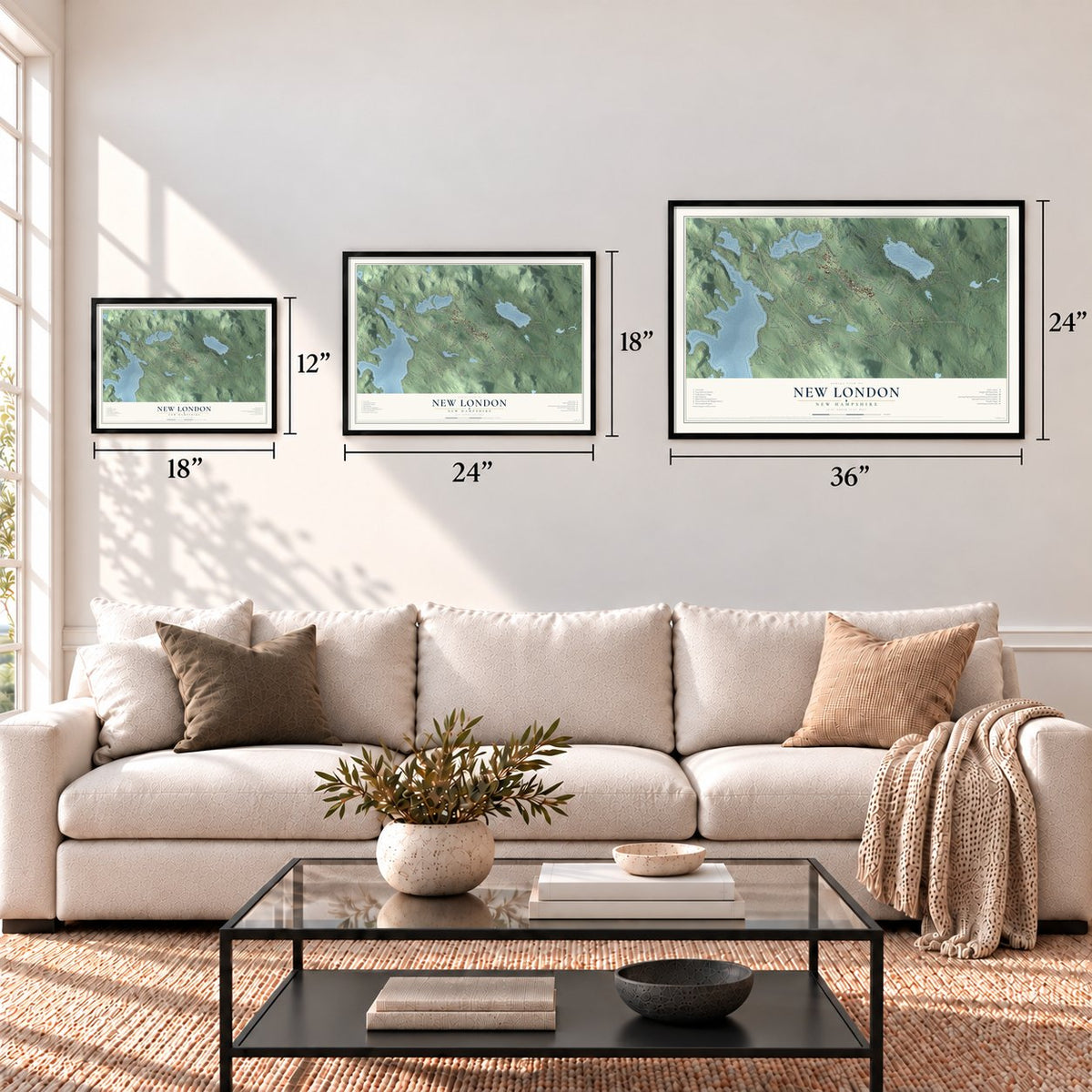
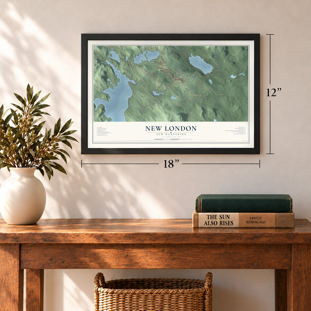
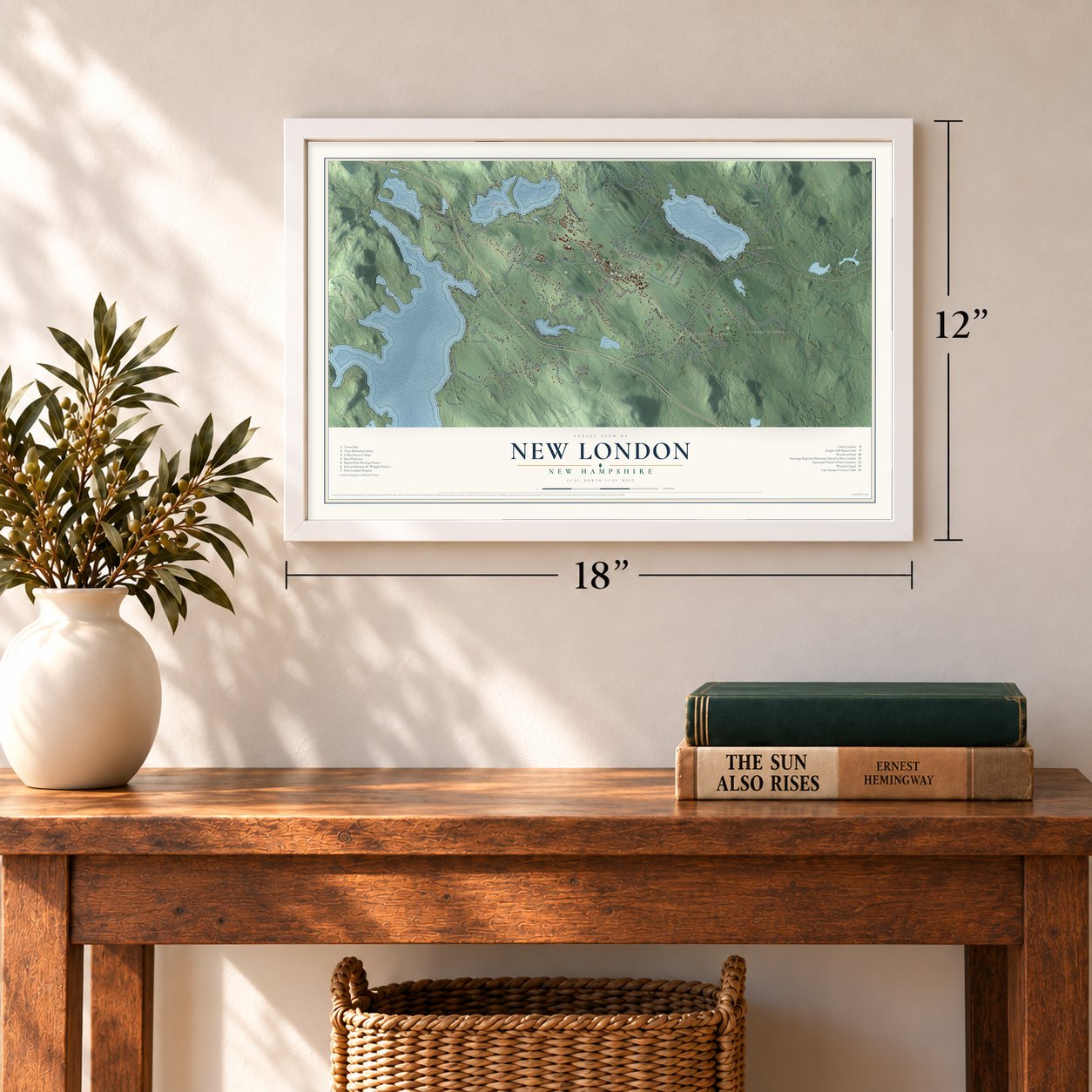
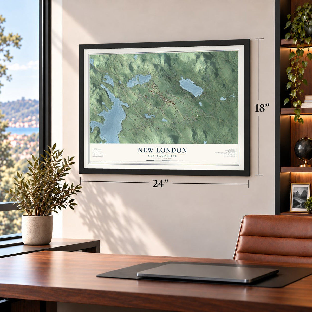
Free U.S. delivery 7 to 10 days after you order
New London, New Hampshire Map Art
Building by building, with labeled streets and shaded relief.
12" x 18" Archival Matte Print
A Map of Home. A Work of Art.
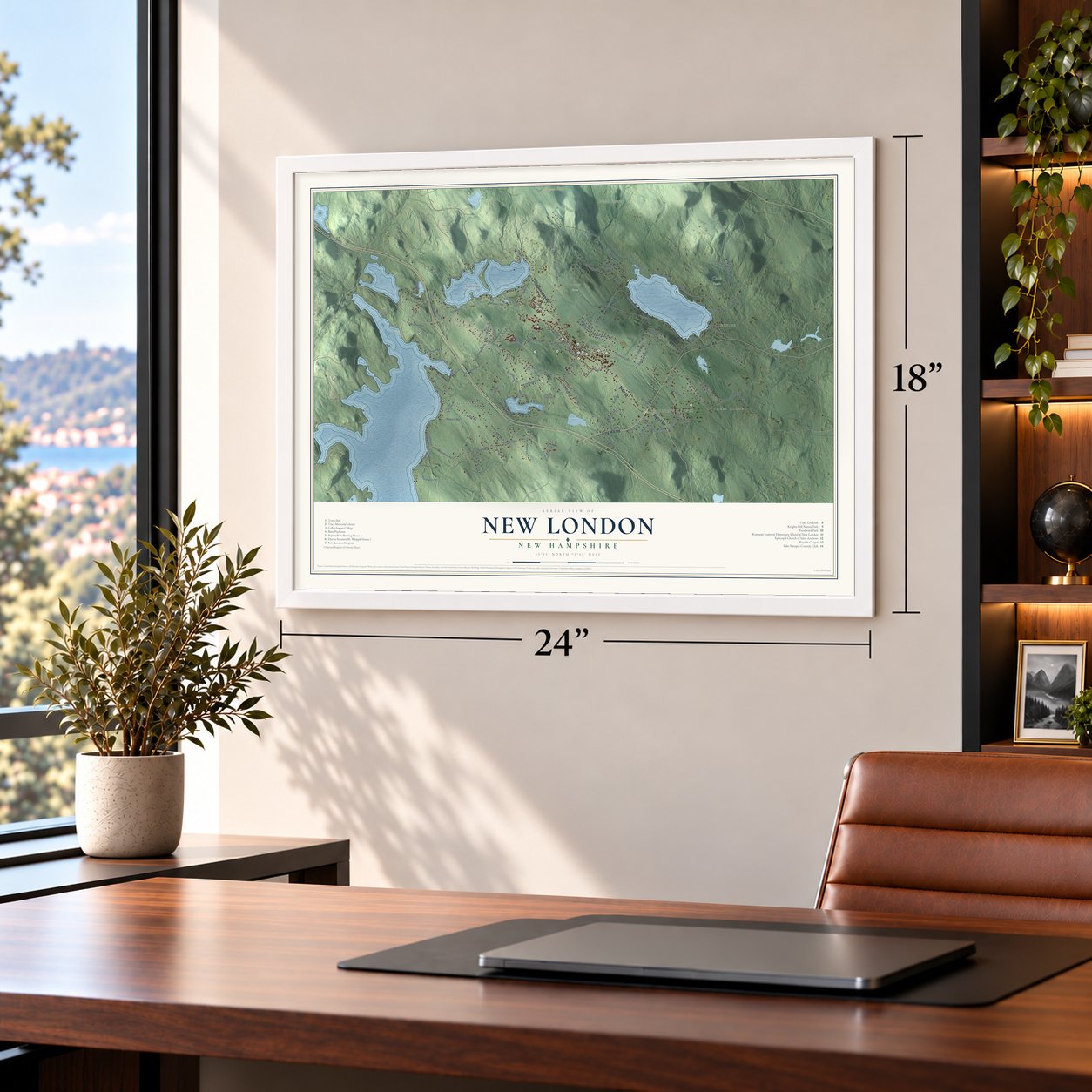
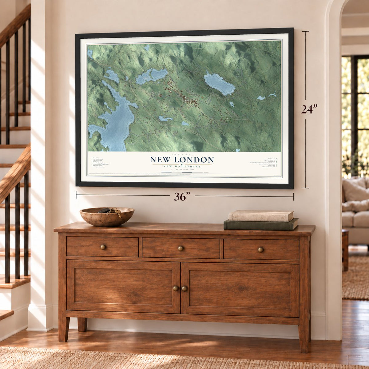
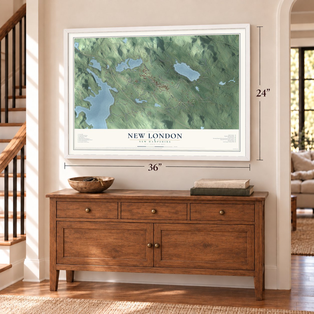
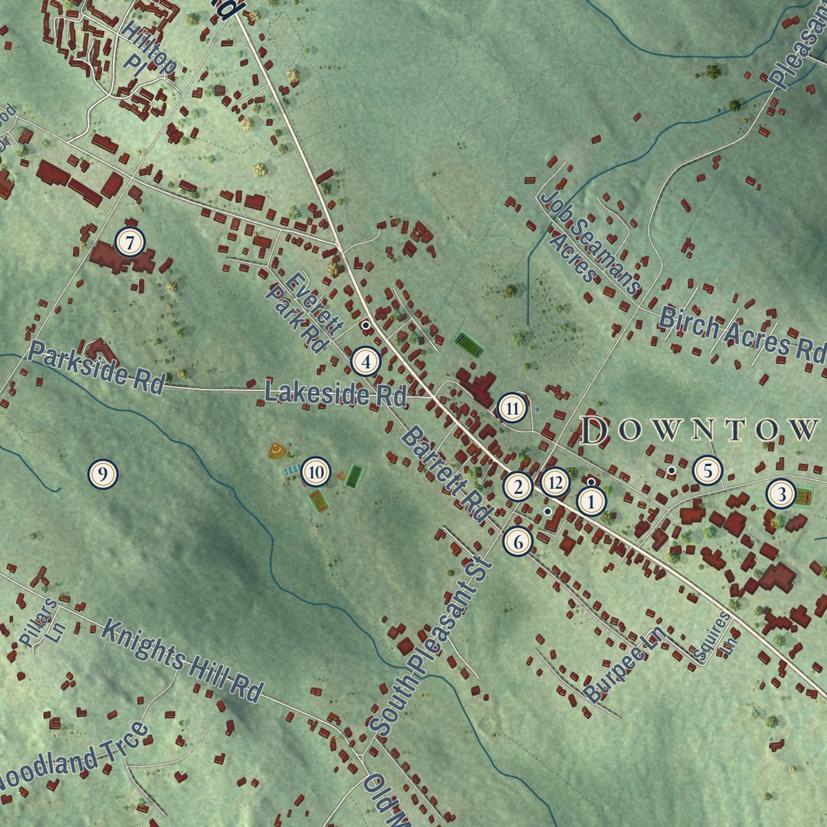
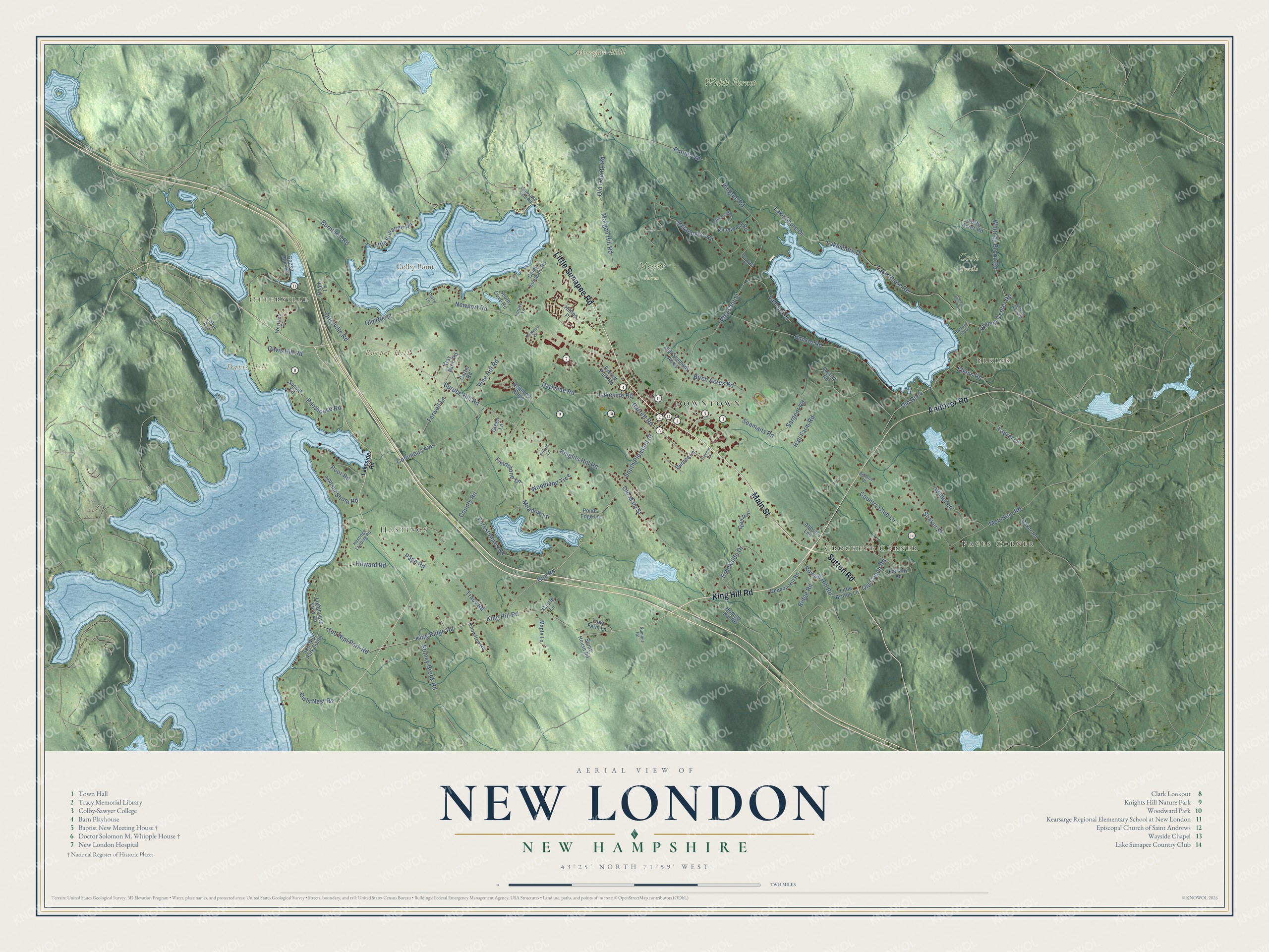
Explore New London, New Hampshire from a whole new perspective. Created using aerial imagery and detailed geographic data, this map captures New London building by building, with labeled streets, familiar landmarks, and shaded topographical relief that highlights the natural contours of the landscape.
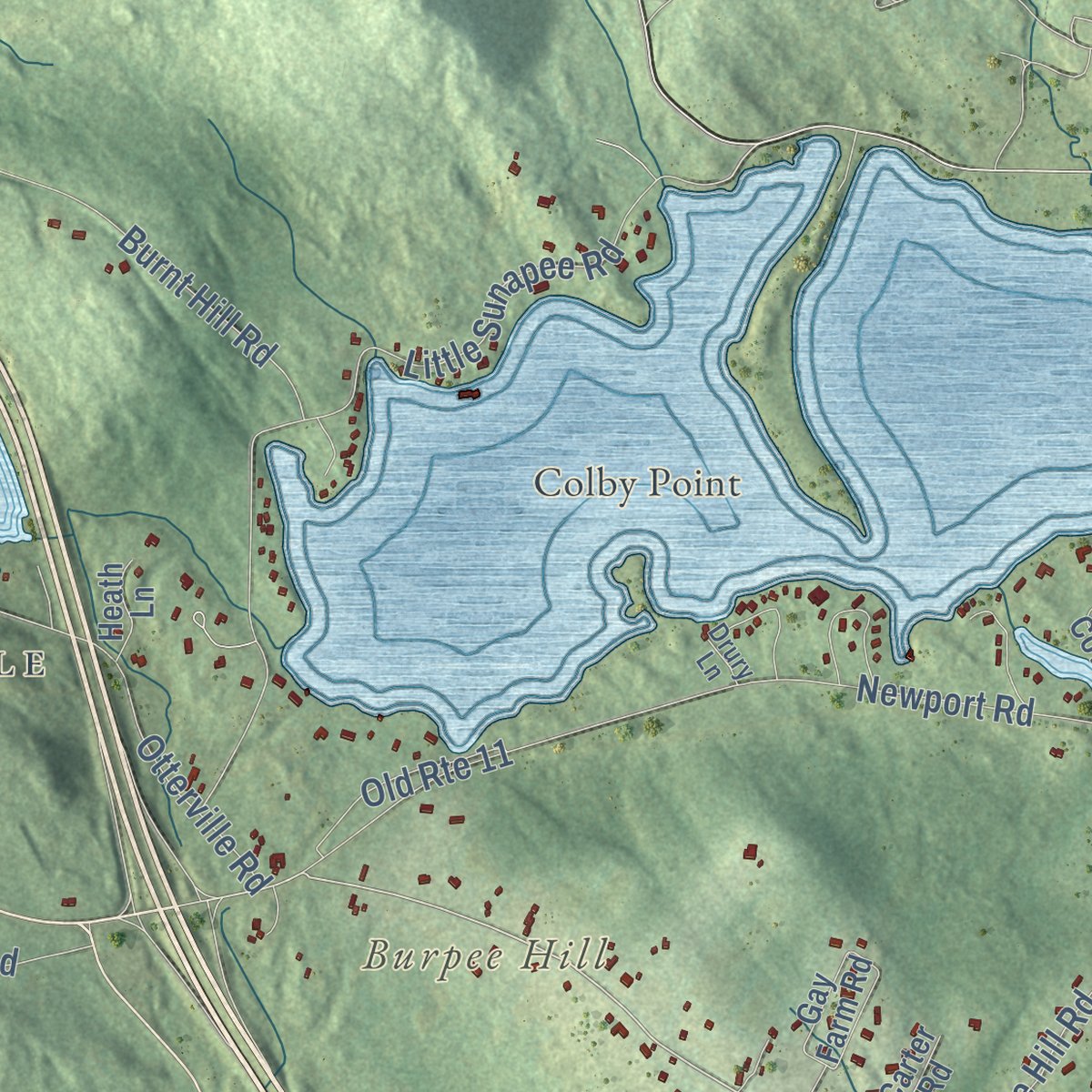
Combining modern data with the timeless character of a vintage atlas, this map is just as interesting up close as it is beautiful on the wall. Whether you grew up in New London, spent memorable years there, or call it home today, this unique map is a great way to celebrate a place that means something to you. Zoom in on the preview to look for your street, and then order a print to put your memories on the wall.
Three ways to hang it
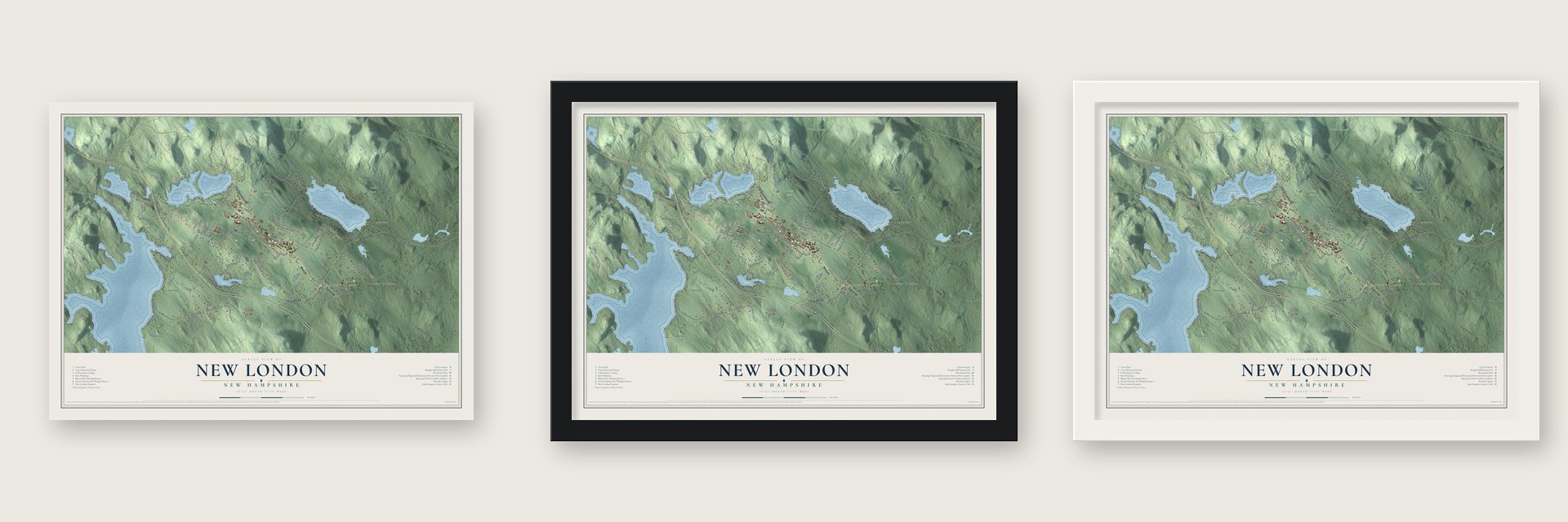
Unframed archival matte, a black wood frame or a white wood frame.
Up close
Geography Worth Displaying
This map was created using accurate cartographic data and authoritative geographic sources, including the U.S. Geological Survey (USGS) and FEMA. The map brings together terrain, waterways, roads, and building detail. The majority of the streets are labeled, houses are accurately depicted, and the topography is derived from government sources. Combining local data with carefully composed color and shading leads to this beautifully detailed New London artwork for your wall.
Rather than simply showing street outlines, we’ve included as many of the street names as we could reasonably fit on the map while keeping their names legible. Zoom in on the high resolution preview to see exactly what’s on the map. We truly set out to create a statement piece for anyone who loves New London. So whether it’s for you, or a gift for someone you love, we hope this map of New London brings back fond memories.
Explore the full map of New London, New Hampshire and read about the local places it shows.
Find your street
Names on the New London map
Every name below is printed on this map. Look for your street, your school, the park where you played, or the pond down the road.
Places and landmarks13
- Downtown
- Pages Corner
- Elkins
- Otterville
- Hastings
- Crockett Corner
- Burpee Hill
- Colby Point
- Davis Hill
- Morgan Hill
- Cook Trails
- Messer Farm
Show all 13 places
- Webb Forest
Streets and roads111
- Main Street
- Andover Road
- Little Sunapee Road
- Sutton Road
- King Hill Road
- Newport Road
- Bog Road
- King Ridge Road
- Knights Hill Road
- Burpee Hill Road
- Old Main Street
- Otterville Road
- Old County Road
- Shaker Street
- Pilothouse Road
- County Road
- Poor Road
- Pleasant Street
- Bunker Road
- Morgan Hill Road
- Sugarhouse Road
- Seamans Road
- Wilmot Center Road
- Lakeshore Drive
- Mountain Road
- Hall Farm Road
- Lake Shore Road
- Elkins Road
- Old Route 4
- Forest Acres Road
Show all 111 streets
- Columbus Avenue
- Brookside Drive
- Davis Hill Road
- Lake Shore Drive
- Putney Road
- Burnt Hill Road
- Lakeside Road
- Parkside Road
- Whitney Brook Road
- Owls Nest Road
- Fieldstone Lane
- Meadow Lane
- Stoney Brook Road
- Wilder Lane
- South Pleasant Street
- Barrett Road
- Pingree Road
- Tracy Road
- Soo Nipi Park Road
- Lamson Lane
- Howard Road
- Page Road
- Laurel Lane
- Woodland Trce
- Country Club Lane
- Sargent Road
- Birch Acres Road
- Farwell Lane
- Pine Hill Road
- Old Route 11
- Sunset Shore Road
- Rowell Hill Road
- Old Coach Road
- Ridge Road
- Hilltop Place
- Lighthouse View Road
- Fairway Lane
- Knollwood Road
- Sunset Road
- Gay Farm Road
- Maple Lane
- South Cove Road
- Burpee Lane
- Camp Sunapee Road
- Quail Run
- Job Seamans Acres
- Deacon Hill Road
- Baker Road
- Soo-Nipi Park South
- Hominy Pot Road
- Goose Hole Road
- Forty Acres Road
- Knowlton Road
- Everett Park Road
- Todd Farm Lane
- Little Britton Lane
- Carter Road
- Highland Ridge
- Quarry Road
- Stone House Road
- Ponds Edge Lane
- Castle Lane
- Abbott Lne
- Heath Lane
- Green Lane
- Lake Avenue
- Twin Lake Ville Road
- Hastings Landing Road
- Westside Drive
- Summit Road
- Barton's Row
- Bellvue Drive
- Spruce Lane
- Pillars Lane
- Drury Lane
- Squires Lane
- Little Brook Road
- Deerpath Road
- Sparrow Hawk Road
- Fenwood Drive
- Turkey Hill Run
Names are listed as they appear on the printed map. Zoom into the product photos to find them.
About New London, New Hampshire
New London is a town of 4,400 people in Merrimack County, with Lake Sunapee along its western border. The Masonian Proprietors granted this land in 1753 under the name Heidelberg, but no one ever settled there, so the grant lapsed. In 1773 a new group of speculators, led by Jonas Minot of Concord, Massachusetts, and otherwise made up of Scotch-Irish settlers from Londonderry, received roughly the same ground as the Alexandria Addition. They never lived on it. Instead they paid newcomers, mostly from Amesbury and Attleboro in Massachusetts, to clear roads and put up mills, schools and a church, then sold their land in parcels at a large profit.
Sixteen families were living in the Addition by 1779, and they petitioned the General Court to become a town called New London. Its voters held their first town meeting on August 3, 1779. When Wilmot was created in 1807, New London gave up its northern half to help form it, and the village of Otterville became part of New London in 1817.
- The Baptists build in 1826Many of New London's early families were Baptists from Massachusetts, and town taxes long supported their church. Once the state outlawed that in 1819, the congregation could no longer worship in the town meetinghouse, so in 1826 they built their own on Main Street. Its builders worked from The Country Builder's Assistant, Asher Benjamin's 1797 pattern book, and added a Palladian window and a Revere bell. The Baptist New Meeting House joined the National Register in 2005.
- An academy that became a collegeNew London Academy received its state charter in 1837, with Susan Colby as its first teacher and principal. It opened with 26 girls and one boy, was renamed Colby Academy in 1878, and in 1933 turned into Colby Junior College for Women. Eleanor Roosevelt came to visit on October 18, 1941.
- Why it's Colby-SawyerColby College in Maine took the school to court twice over its name, so it settled on Colby-Sawyer, after H. Leslie Sawyer, who led it from 1922 to 1955. Men were admitted again in 1990, and the Gordon Research Conferences have gathered there since 1947.
- Scytheville becomes ElkinsIn 1835 Richard Messer, Joseph Phillips and Anthony Colby opened a scythe works at the east end of Pleasant Lake, where three dams on the outlet drove its hammers and grindstones. It employed almost a hundred people for more than fifty years, and in 1880 the company sent out more than 120,000 blades. After it closed, the village of Scytheville was renamed Elkins in 1896 for Dr. John P. Elkins, who served as its doctor from 1875 to 1888.
- Tomie dePaola's homeTomie dePaola, who wrote and illustrated Strega Nona, came to Colby-Sawyer in 1973 to teach and design for its theater department. He stayed on the faculty until 1976 and made New London his home.
Keep exploring New Hampshire
New London is one of 279 New Hampshire towns we've mapped. Every dot on the map is a print of its own.
The search covers every state, New Hampshire first.
Near New London
Order 2 or more town maps and save 10%. Shown in the size and finish you picked above, so they hang as a set.
- Blodgett Landing 12" x 18" / Archival Matte Print $39.99
- Wilmot 12" x 18" / Archival Matte Print $39.99
- Sunapee 12" x 18" / Archival Matte Print $39.99
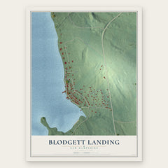
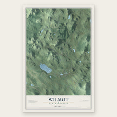
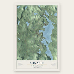
More maps nearby: Springfield, Sutton, Newbury, Croydon and Danbury.
The art of mapping a place
How This Map Was Made
Real places. Remarkable detail. Discover the layers that turn geographic data into a map of home.

The view from above
Aerial imagery reveals the character of the land: woodland, open fields, and the patterns of a place.

The shape of the land
Elevation data brings hills, valleys, and subtle changes in the landscape into view.

The details of home
Roads, waterways, and building footprints come together to make the map feel unmistakably local.

Geography becomes art
Considered color, shading, and typography bring the layers together in a map made for your wall.


Process illustrated with Mendon, Massachusetts. Aerial imagery: USDA NAIP. Terrain: USGS 3D Elevation Program. Map details and finished artwork: KNOWOL.
The Details
About This Print
Choose an archival matte print, or a black or white Ayous wood frame. The archival matte print is unframed.
Select your size and finish above to see the matching product image and price.
Materials & Craftsmanship
A contemporary map with the character of a classic atlas, printed on archival matte paper. Optional frames are made from Ayous wood.
Your printed map does not include the watermark shown in the full-map preview.
Shipping & Delivery
Free shipping within the United States. Every print is made to order in the USA.
Buying a gift? Add a note in your cart and we'll include it. We never put prices in the package.
Prints ship within 2 to 3 business days. Allow 7 to 10 days total from ordering for delivery. Timing may vary during holidays or periods of high order volume.
Read our shipping policy.
Returns and damaged prints
Each print is made to order. Change-of-mind refunds are not available after production.
If your print arrives damaged, misprinted or incorrect, contact support@knowol.com within 30 days of receiving it. Include your order number, photos and a description of the issue.
Read our full refund and replacement policy. For questions about your order, email support@knowol.com.