
Search for another town




Free U.S. delivery 7 to 10 days after you order
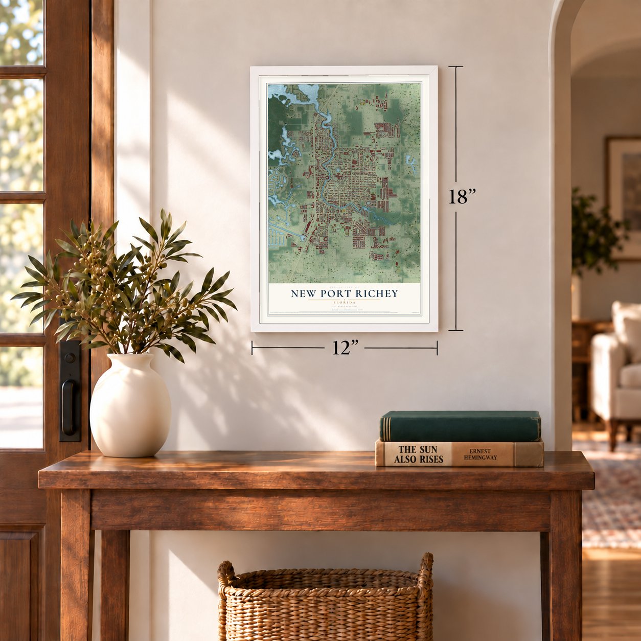
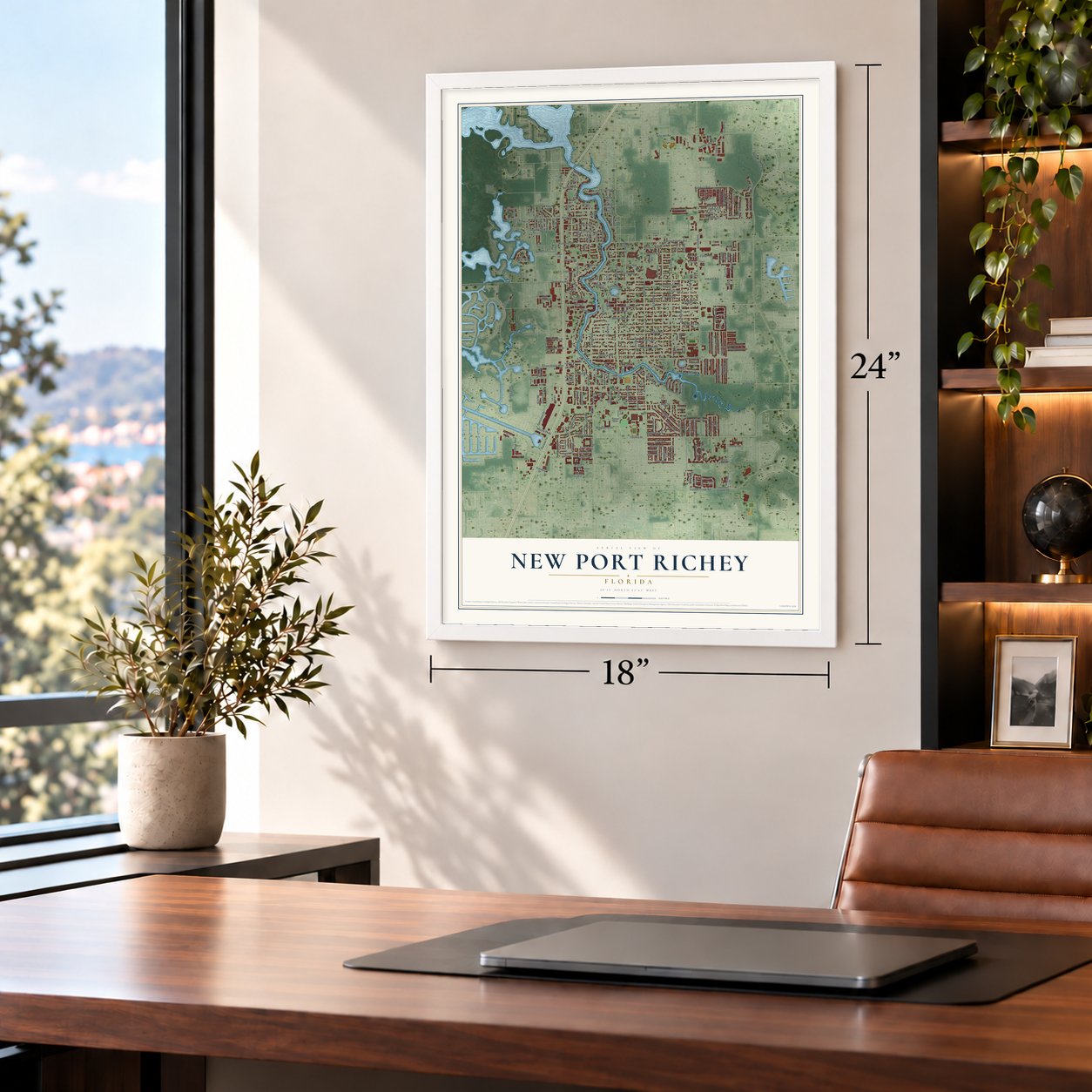
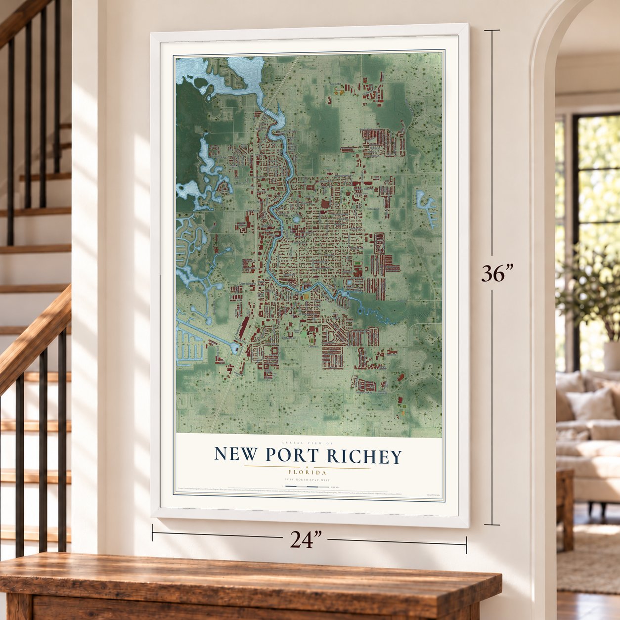
New Port Richey, Florida Map Art
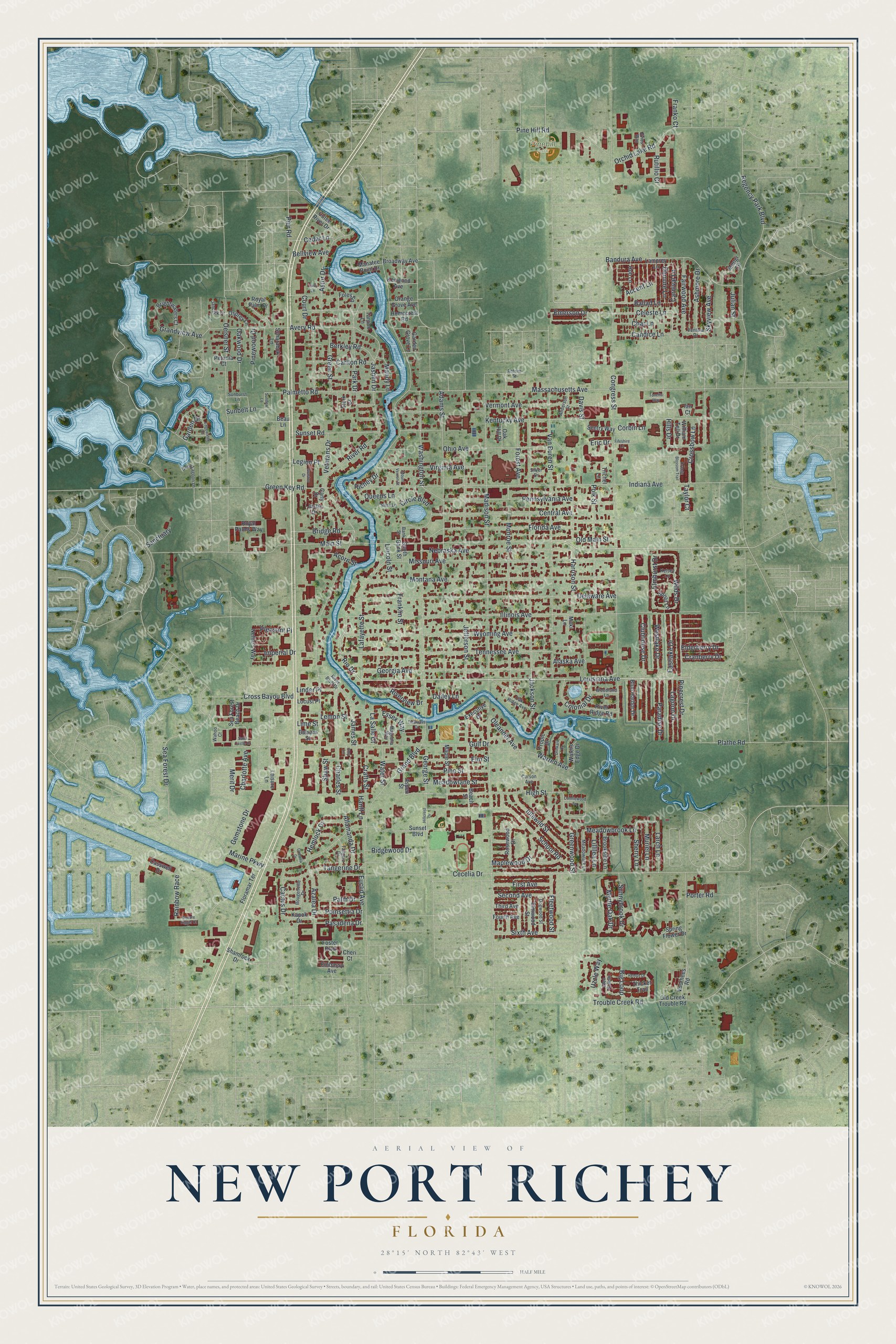
A new map of New Port Richey, Florida, made in 2026 and printed to order on thick archival matte paper.
12" x 18" Archival Matte Print
A Map of Home. A Work of Art.
Bring a piece of New Port Richey home. Whether it’s where you grew up, your current home, or simply a moment in your life, this New Port Richey, Florida map print brings those memories to your wall. Antique-inspired styling and modern geographic detail combine to create artwork that’s beautiful from across the room, with plenty to study and explore when you get up close.
Three ways to hang it
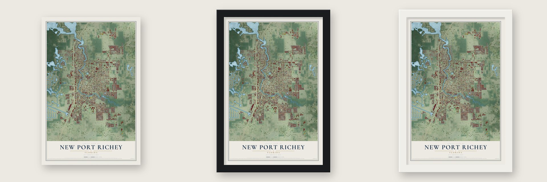
Unframed archival matte, a black wood frame or a white wood frame.
Up close
Real geography. Art worth displaying.
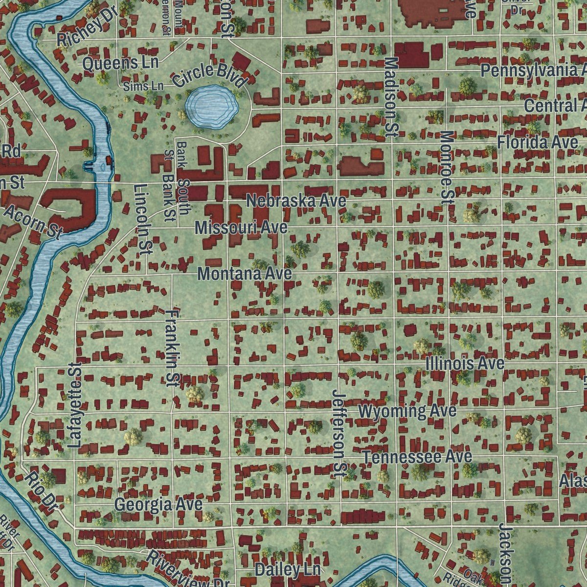
This map was created using accurate cartographic data and authoritative geographic sources, including the U.S. Geological Survey (USGS) and FEMA. The map brings together terrain, waterways, roads, and building detail. The majority of the streets are labeled, houses are accurately depicted, and the topography is derived from government sources. Combining local data with carefully composed color and shading leads to this beautifully detailed New Port Richey artwork for your wall.
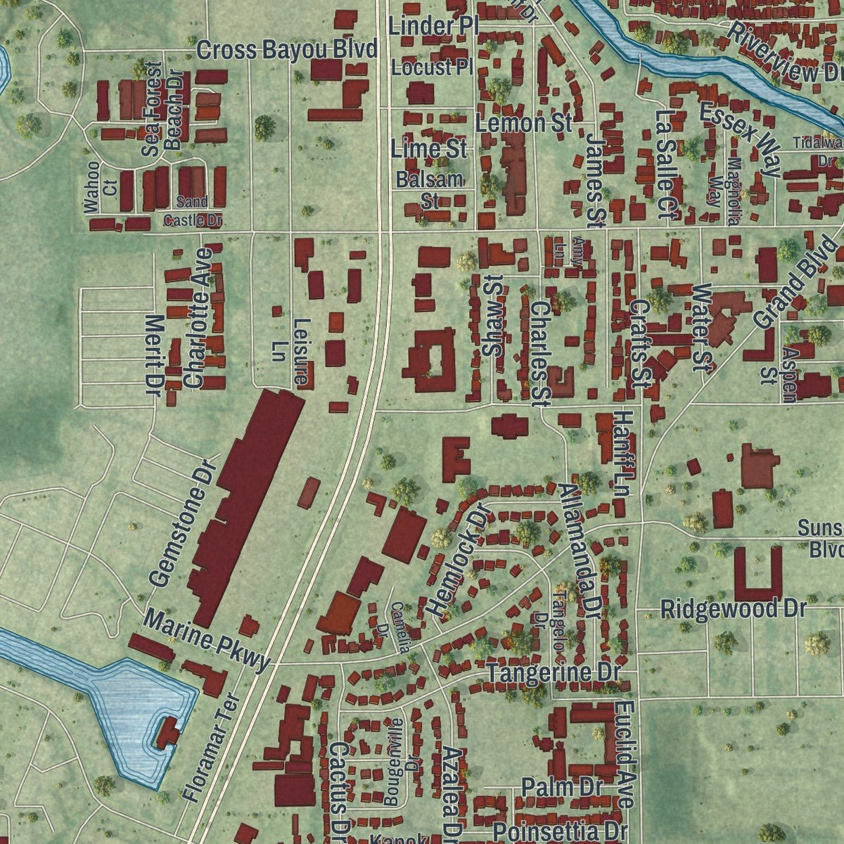
Rather than simply showing street outlines, we’ve included as many of the street names as we could reasonably fit on the map while keeping their names legible. Zoom in on the high resolution preview to see exactly what’s on the map. We truly set out to create a statement piece for anyone who loves New Port Richey. So whether it’s for you, or a gift for someone you love, we hope this map of New Port Richey brings back fond memories.
Explore the full map of New Port Richey, Florida and read about the local places it shows.
About New Port Richey, Florida
New Port Richey is a Florida community in Pasco County. The 2020 census recorded 16,728 residents.
- Pasco CountyNew Port Richey is located in this Florida county.
- 16,728 residentsThe community reached this population in the 2020 census.
- Incorporated in 1924New Port Richey was incorporated in 1924.
- 4.6 square milesThis is the total area reported for the community.
Find your street
Names on the New Port Richey map
Every name below is printed on this map. Look for your street, your school, the park where you played, or the pond down the road.
Places and landmarks1
- Pinehill Park
Streets and roads262
- Main Street
- Louisiana Avenue
- Trouble Creek Road
- Meadowbrook Lane
- Rio Drive
- Celeste Lane
- Wilds Drive
- Grand Boulevard
- Madison Street
- Congress Street
- River Road
- Illinois Avenue
- Indiana Avenue
- Sea Forest Drive
- Adams Street
- Van Buren Street
- Jackson Street
- Cecelia Drive
- Massachusetts Avenue
- High Street
- Florida Avenue
- Delaware Avenue
- Jefferson Street
- Kentucky Avenue
- Montana Avenue
- Tennessee Avenue
- Missouri Avenue
- Wyoming Avenue
- Gulf Drive
- Monroe Street
Show all 262 streets
- Pennsylvania Avenue
- Georgia Avenue
- Marine Parkway
- Harrison Street
- Vermont Avenue
- Nebraska Avenue
- School Road
- Avery Road
- Lafayette Street
- Washington Street
- Bandura Avenue
- Oelsner Street
- Central Avenue
- Astor Drive
- Polk Street
- Jasmin Drive
- Ohio Avenue
- Pinecrest Drive
- Palmetto Road
- Green Key Road
- Hills Drive
- Maplewood Drive
- Charles Street
- James Street
- Emerson Drive
- Virginia Avenue
- George Street
- Pine Hill Road
- Clubhouse Drive
- Azalea Drive
- Franklin Street
- Forest Avenue
- Sunset Road
- Meadowlane Street
- Pine Street
- Greenwood Street
- Tangerine Drive
- Idlewild Street
- Cross Bayou Boulevard
- Allamanda Drive
- Orchid Lake Road
- Fairwood Avenue
- Colonial Drive
- Crafts Street
- Plathe Road
- Candice Lane
- Ashmore Drive
- Carlton Road
- Berkley Road
- Crossbow Lane
- Pier Road
- Green Street
- Park Drive
- Sixth Avenue
- Second Avenue
- Eastlake Drive
- Westlake Drive
- Elm Street
- Bridge Road
- Hemlock Drive
- Ridgewood Drive
- Circle Boulevard
- Myrtle Oak Drive
- Bellview Avenue
- Oakwood Drive
- Pinewood Drive
- Char Lane
- Lemon Street
- First Avenue
- Sunnybrook Drive
- Fleetwood Street
- Regency Park Boulevard
- Accent Lane
- Paradise Drive
- Elmhurst Drive
- Lagoon Drive
- Rutillio Court
- La Salle Court
- Rainbow Race
- Skyview Avenue
- Cactus Drive
- Muriel Lane
- Pasadena Drive
- Grandview Avenue
- Larch Lane
- Gemstone Drive
- Shaw Street
- Acorn Street
- Poinsettia Drive
- Big Loop
- Queens Lane
- Euclid Avenue
- Warren Avenue
- Oleander Avenue
- Charlotte Avenue
- Ballad Lane
- Sunbelt Lane
- Linder Place
- Essex Way
- Uzzle Way
- Cedar Lane
- Veterans Drive
- Merit Drive
- Water Street
- Riverview Drive
- Old Main Street
- Sherry Lane
- Lillilea Lane
- Imperial Drive
- Mandy Lane
- Elderberry Drive
- Cranberry Drive
- Pleasant Place
- Palm Drive
- Demure Lane
- Carnival Lane
- Lincoln Street
- Legion Place
- Dailey Lane
- Alaska Avenue
- Julian Street
- Richey Drive
- Court Drive
- Corbin Lane
- Sanctuary
- Porter Road
- Garden Drive
- Davis Street
- Franko Court
- Hanff Lane
- Taylor Court
- Eric Drive
- Lime Street
- Sunset Boulevard
- Justin Drive
- Spring Flower Drive
- Floramar Terrace
- Voorhees Road
- Royal Palm Drive
- Beach Street
- Maple Street
- Cotee River Drive
- Sea Forest Beach Drive
- Mengi Circle
- Lamprey Lane
- Rosewood Drive
- Old Creek Trouble Road
- Executive Drive
- Casswell Drive
- Foley Square
- Thicket Trail
- Brightwaters Court
- Brookside Lane
- Garden Grove Lane
- Blue Harbor Drive
- Elmwood Street
- River Ridge Road
- Leisure Lane
- Sentry Way
- Broadway Avenue
- Royal Palms Way
- Nellie's Way
- Shamrock Drive
- Kenwood Avenue
- Manatee Point Drive
- Waters Edge Drive
- Osprey Lane
- Kapok Drive
- Orange Grove Avenue
- Homecrest Road
- Aspen Street
- Oak Hill Drive
- Fourth Avenue
- Third Avenue
- William Tell Drive
- Scharabok Lane
- Hob Lane
- Petunia Court
- Ian Court
- Embassy Avenue
- Sunlit Lane
- Tropic Drive
- Balsam Street
- Locust Place
- Foster Boulevard
- Tarpon Lane
- South Bank Street
- Trichel Lane
- Stork Court
- Carly Drive
- Cheri Court
- Beau Lane
- Maki Lane
- Oak Ridge Avenue
- Tangelo Drive
- Bougenville Drive
- Meadowlark Lane
- Dogwood Street
- Deep Lagoon Lane
- Anderson Street
- Magnolia Way
- Woodland Lane
- River Bluff Drive
- Ventura Drive
- Janczlik Drive
- Glen Hollow
- Kelsey Lane
- Sims Lane
- Sunburst Lane
- Evies Way
- Corson Avenue
- Antrim Street
- Wahoo Court
- Bank Street
- Silver Drive
- Hillcrest Drive
- Conniewood Square
- Edgewater Drive
- Graston Drive
- Remus Drive
- Square Rigger Court
- Orange Blossom Trail
- Tarry Lane
- Tidalwave Drive
- Drinkard Drive
- Amy Lane
- Camelia Drive
- Mount Vernon Street
- Sand Castle Drive
- Sundew Lane
- Tonetta Way
- Fifeshire Lane
Names are listed as they appear on the printed map. Zoom into the product photos to find them.
The art of mapping a place
How This Map Was Made
Real places. Remarkable detail. Discover the layers that turn geographic data into a map of home.

The view from above
Aerial imagery reveals the character of the land: woodland, open fields, and the patterns of a place.

The shape of the land
Elevation data brings hills, valleys, and subtle changes in the landscape into view.

The details of home
Roads, waterways, and building footprints come together to make the map feel unmistakably local.

Geography becomes art
Considered color, shading, and typography bring the layers together in a map made for your wall.


Process illustrated with Mendon, Massachusetts. Aerial imagery: USDA NAIP. Terrain: USGS 3D Elevation Program. Map details and finished artwork: KNOWOL.
The Details
About This Print
Choose an archival matte print, or a black or white Ayous wood frame. The archival matte print is unframed.
Select your size and finish above to see the matching product image and price.
Materials & Craftsmanship
A contemporary map with the character of a classic atlas, printed on archival matte paper. Optional frames are made from Ayous wood.
Your printed map does not include the watermark shown in the full-map preview.
Shipping & Delivery
Free shipping within the United States. Every print is made to order in the USA.
Buying a gift? Add a note in your cart and we'll include it. We never put prices in the package.
Prints ship within 2 to 3 business days. Allow 7 to 10 days total from ordering for delivery. Timing may vary during holidays or periods of high order volume.
Read our shipping policy.
Returns and damaged prints
Each print is made to order. Change-of-mind refunds are not available after production.
If your print arrives damaged, misprinted or incorrect, contact support@knowol.com within 30 days of receiving it. Include your order number, photos and a description of the issue.
Read our full refund and replacement policy. For questions about your order, email support@knowol.com.
Find your town
Looking for another city?
Find a map of home in our Florida collection, or any town in the country.
Nearby
Maps of towns near New Port Richey
Know someone from one of these towns? Their map makes a great gift.
 New Port Richey East
, Florida
From $39.99See the map
 Port Richey
, Florida
From $39.99See the map
 Elfers
, Florida
From $39.99See the map
More maps nearby: Beacon Square, Jasmine Estates, Holiday, Key Vista and River Ridge.