
Search for another town





Free U.S. delivery 7 to 10 days after you order
Newbury, Massachusetts Map Art
Building by building, with labeled streets and shaded relief.
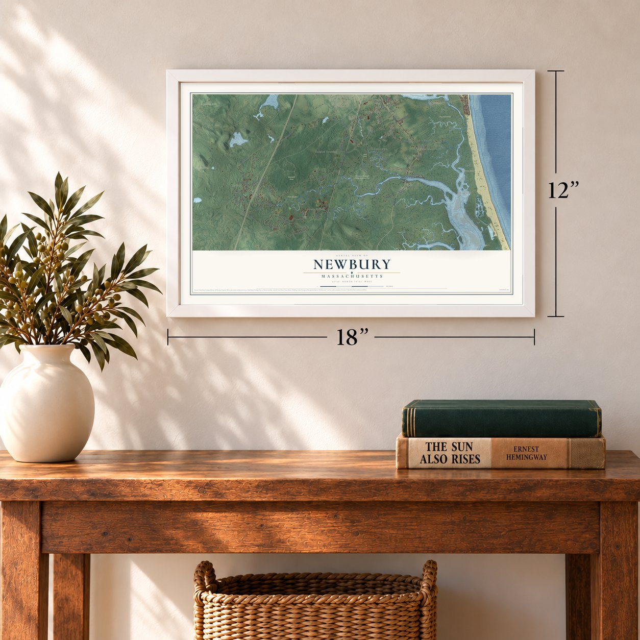
12" x 18" Archival Matte Print
A Map of Home. A Work of Art.
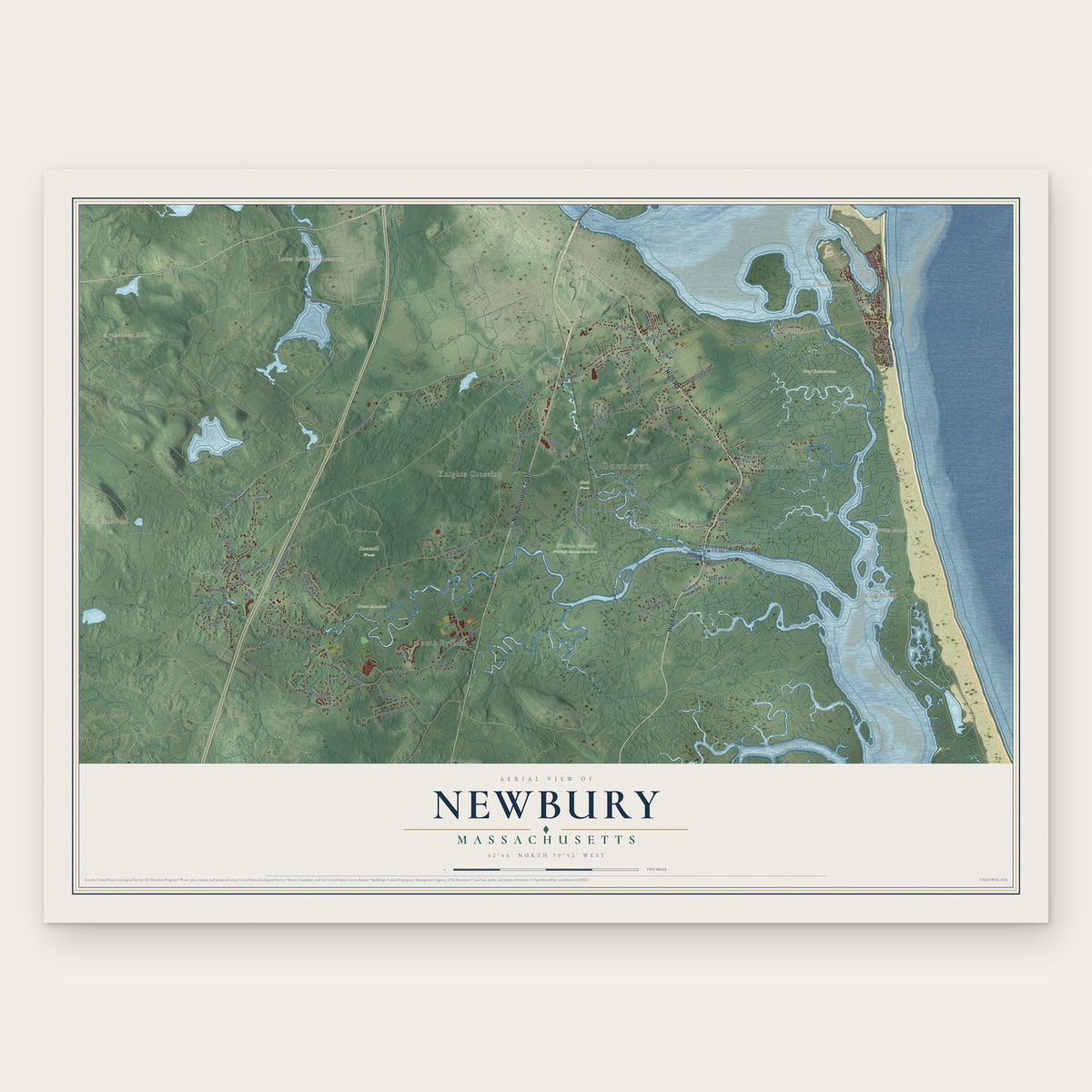
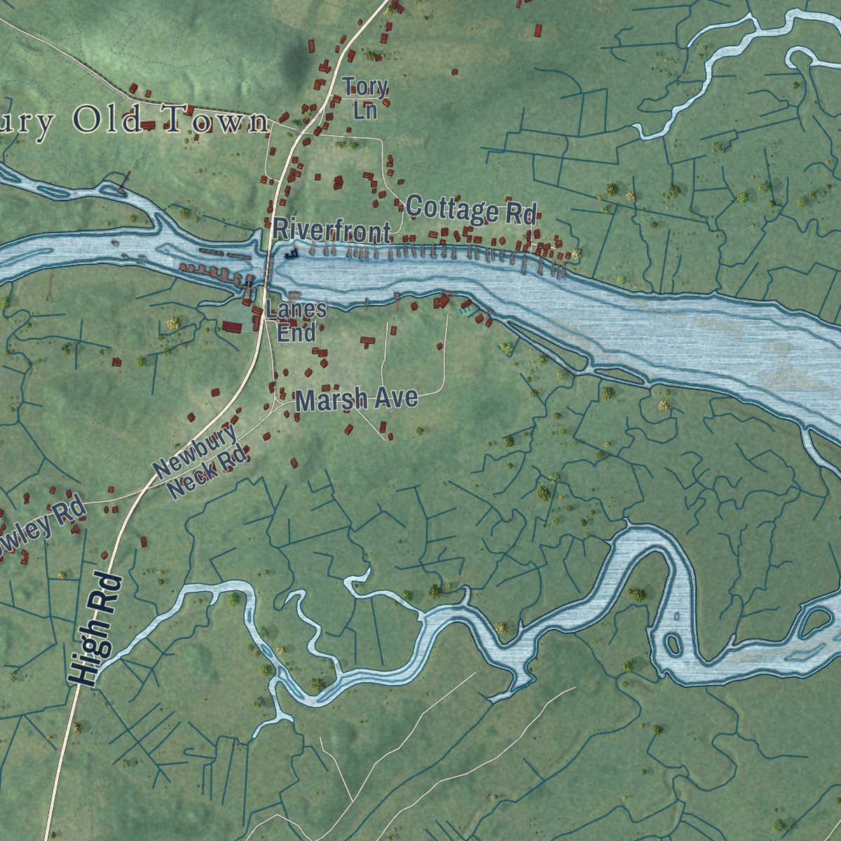
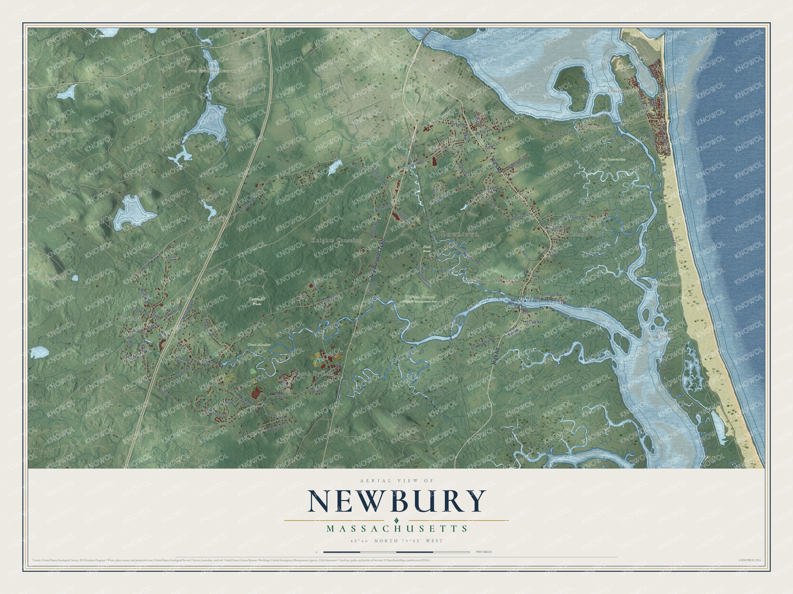
Explore Newbury, Massachusetts from a whole new perspective. Created using aerial imagery and detailed geographic data, this map captures Newbury building by building, with labeled streets, familiar landmarks, and shaded topographical relief that highlights the natural contours of the landscape.
Combining modern data with the timeless character of a vintage atlas, this map is just as interesting up close as it is beautiful on the wall. Whether you grew up in Newbury, spent memorable years there, or call it home today, this unique map is a great way to celebrate a place that means something to you. Zoom in on the preview to look for your street, and then order a print to put your memories on the wall.
Three ways to hang it
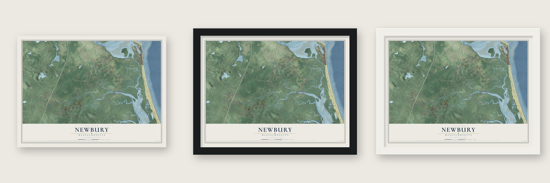
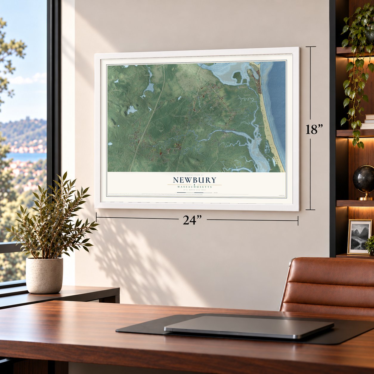
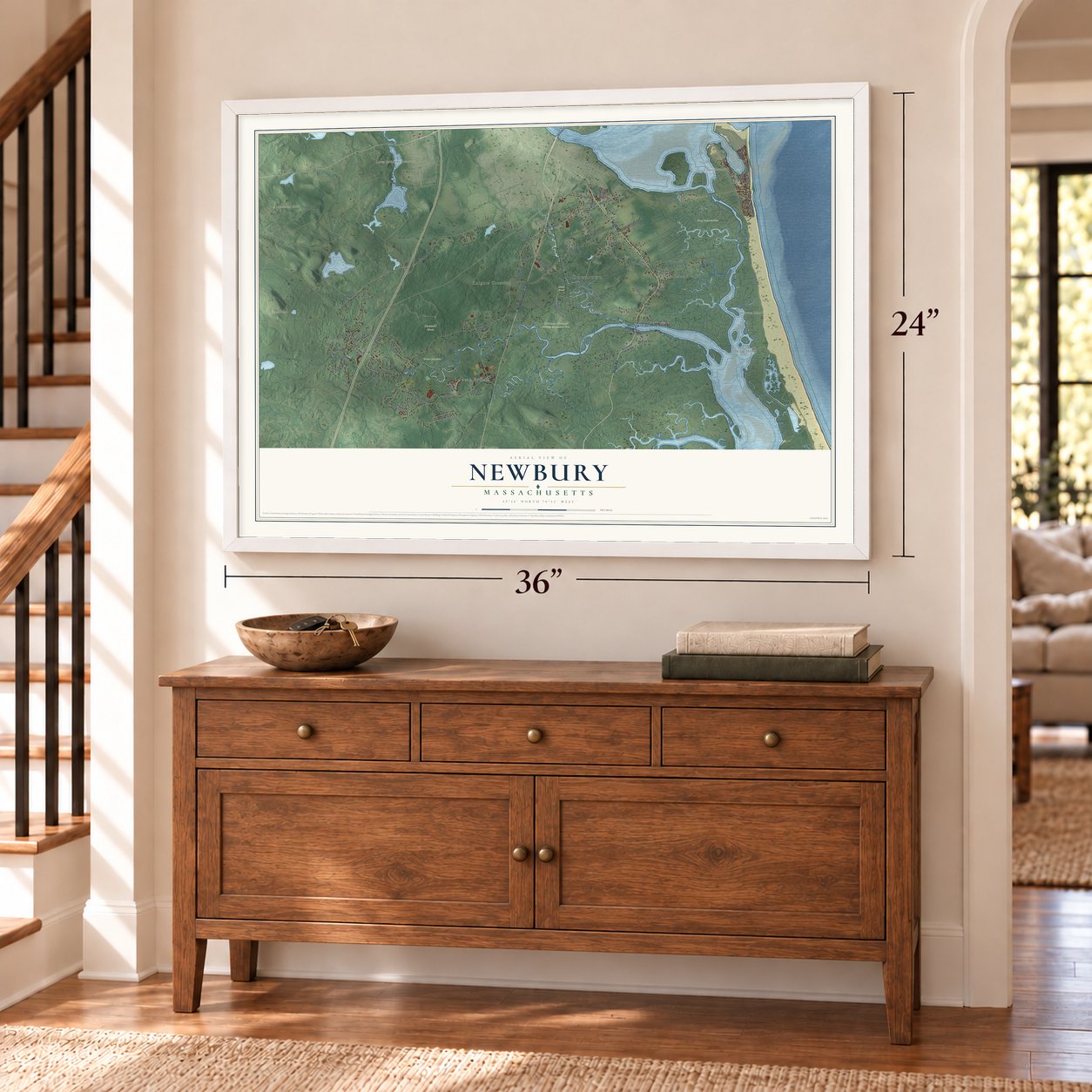
Unframed archival matte, a black wood frame or a white wood frame.
Up close
Geography Worth Displaying
This map was created using accurate cartographic data and authoritative geographic sources, including the U.S. Geological Survey (USGS) and FEMA. The map brings together terrain, waterways, roads, and building detail. The majority of the streets are labeled, houses are accurately depicted, and the topography is derived from government sources. Combining local data with carefully composed color and shading leads to this beautifully detailed Newbury artwork for your wall.
Rather than simply showing street outlines, we’ve included as many of the street names as we could reasonably fit on the map while keeping their names legible. Zoom in on the high resolution preview to see exactly what’s on the map. We truly set out to create a statement piece for anyone who loves Newbury. So whether it’s for you, or a gift for someone you love, we hope this map of Newbury brings back fond memories.
Explore the full map of Newbury, Massachusetts and read about the local places it shows.

Find your street
Names on the Newbury map
Every name below is printed on this map. Look for your street, your school, the park where you played, or the pond down the road.
Places and landmarks19
- Downtown
- Byfield
- Plumbush
- Archelaus Hill
- Browns Island
- Cape Merrill
- Chaces Island
- Little Crane Pond
- Lower Artichoke Reservoir
- Graf Reservation
- Great Meadow
- Neck Woods
Show all 19 places
- Sawmill Woods
- William Forward Wildlife Management Area
- Upper Green
- Newbury Old Town
- Pine Island
- Knights Crossing
- South Byfield
Streets and roads81
- High Road
- Newburyport Turnpike
- Plum Island Turnpike
- Highfield Road
- Hay Street
- Scotland Road
- Elm Street
- Green Street
- Northern Boulevard
- Rolfes Lane
- Forest Street
- Hanover Street
- Lunt Street
- Middle Road
- Island Road
- Central Street
- Orchard Street
- Main Street
- Boston Road
- Newman Road
- Fatherland Drive
- Pine Island Road
- Pearson Drive
- Larkin Road
- Old Rowley Road
- Wayside Avenue
- Greentree Lane
- Cottage Road
- Old Point Road
- Parker Street
Show all 81 streets
- Moody Street
- Low Street
- Sunset Drive
- Marsh Avenue
- School Street
- Fordham Way
- Riverview Drive
- Sled Road
- Downfall Road
- Emery Street
- Riverfront
- Old Road
- Littles Lane
- Knobb Hill
- Grove Street
- Adams Lane
- Keat Island Road
- South Street
- Fruit Street
- Newbury Neck Road
- Coleman Road
- River Street
- High Tail Lane
- Plummers Lane
- Church Street
- Birch Lane
- South Pond Street
- Millstone Lane
- Parish Road
- Basin Front Drive
- Kent Way
- Lanes End
- Tory Lane
- 16th Tee
- Kents Island Road
- Spring Hill Road
- Southern Boulevard
- Old Elm Street
- Caldwell Farm Road
- Old Pine Island Road
- Livingston Lane
- Austin Lane
- Price Way
- Cedar Hills
- 49th Street
- Marsh Meadow Lane
- Black Duck Circle
- Maple Street
- Courtney Drive
- Central Court
- Chute Street
Names are listed as they appear on the printed map. Zoom into the product photos to find them.
About Newbury, Massachusetts
Newbury is a town of 6,716 people in Essex County, where the Parker and Little rivers wind through salt marsh into Plum Island Sound. Two ministers, the Rev. Thomas Parker and his cousin James Noyes, brought roughly 100 people from Wiltshire, England, across the ocean on the Mary and John. They landed first at Ipswich in 1634 and moved on the next spring to the Quascacunquen River, which now bears Parker's name. Nicholas Noyes was the first to leap ashore, and a stone marks where he landed.
The settlers named their town for Newbury in Berkshire, England, and it was incorporated in 1635. Its claim to Plum Island brought years of petitions until 1649, when the General Court split the island, granting two-fifths each to Newbury and Ipswich and one-fifth to Rowley. The town was once much larger, but Newburyport became a separate town in 1764, and West Newbury did the same in 1819.
- Byfield's falls at workIn 1636 settlers put the town's first water-powered mill at the Byfield falls on the Parker River, at today's Central Street crossing. Gristmills and sawmills came next, and in 1794 Byfield opened the first textile mill in Massachusetts. The village grew into a mill town with six mills running on water power, turning out everything from woolens to snuff.
- A school for 28 boysThe Dummer Charity School opened at Byfield in 1763 on the Dummer family farm, set up in memory of William Dummer, who had served as acting governor. It started with 28 boys. Later known as Dummer Academy and then Governor Dummer Academy, it is now The Governor's Academy, the oldest boarding school in New England.
- Buying land already settledNewbury's settlers made no formal deals with the Native people for more than a generation. In 1650 the town paid a man named Great Tom three pounds for 30 acres called Indian Hill, now in West Newbury. In 1681 the descendants of Old Will sold the town one hundred and sixty acres, and in 1700 a grandson of the Agawam sachem Masconomet gave up his title to any Newbury land for ten pounds.
- Cattle, silver and eggsBy 1791 the town's pastures and salt marsh hay fed 3,000 head of cattle, while tanners and shipbuilders also made a living here. Silver turned up in a big field in 1878, and the Chipman Silver Mine worked it until 1925. Farming had already taken over again by 1905, when Newbury was selling eggs, milk and poultry, and some residents dug clams or cut marsh hay.
- Plum Island by trainThe railroad came to Newbury in 1850. Besides freight, it carried tourists, and their visits helped turn Plum Island into a Victorian seaside resort. Newbury's part of the island is now one of its three villages and voting precincts, alongside Old Town and Byfield.
Keep exploring Massachusetts
Newbury is one of 468 Massachusetts towns we've mapped. Every dot on the map is a print of its own.
The search covers every state, Massachusetts first.
Near Newbury
Order 2 or more town maps and save 10%. Shown in the size and finish you picked above, so they hang as a set.
- Newburyport 12" x 18" / Archival Matte Print $39.99
- Rowley 12" x 18" / Archival Matte Print $39.99
- West Newbury 12" x 18" / Archival Matte Print $39.99


More maps nearby: Salisbury, Ipswich, Georgetown, Amesbury and Groveland.
The art of mapping a place
How This Map Was Made
Real places. Remarkable detail. Discover the layers that turn geographic data into a map of home.

The view from above
Aerial imagery reveals the character of the land: woodland, open fields, and the patterns of a place.

The shape of the land
Elevation data brings hills, valleys, and subtle changes in the landscape into view.

The details of home
Roads, waterways, and building footprints come together to make the map feel unmistakably local.

Geography becomes art
Considered color, shading, and typography bring the layers together in a map made for your wall.


Process illustrated with Mendon, Massachusetts. Aerial imagery: USDA NAIP. Terrain: USGS 3D Elevation Program. Map details and finished artwork: KNOWOL.
The Details
About This Print
Choose an archival matte print, or a black or white Ayous wood frame. The archival matte print is unframed.
Select your size and finish above to see the matching product image and price.
Materials & Craftsmanship
A contemporary map with the character of a classic atlas, printed on archival matte paper. Optional frames are made from Ayous wood.
Your printed map does not include the watermark shown in the full-map preview.
Shipping & Delivery
Free shipping within the United States. Every print is made to order in the USA.
Buying a gift? Add a note in your cart and we'll include it. We never put prices in the package.
Prints ship within 2 to 3 business days. Allow 7 to 10 days total from ordering for delivery. Timing may vary during holidays or periods of high order volume.
Read our shipping policy.
Returns and damaged prints
Each print is made to order. Change-of-mind refunds are not available after production.
If your print arrives damaged, misprinted or incorrect, contact support@knowol.com within 30 days of receiving it. Include your order number, photos and a description of the issue.
Read our full refund and replacement policy. For questions about your order, email support@knowol.com.