
Search for another town




Free U.S. delivery 7 to 10 days after you order
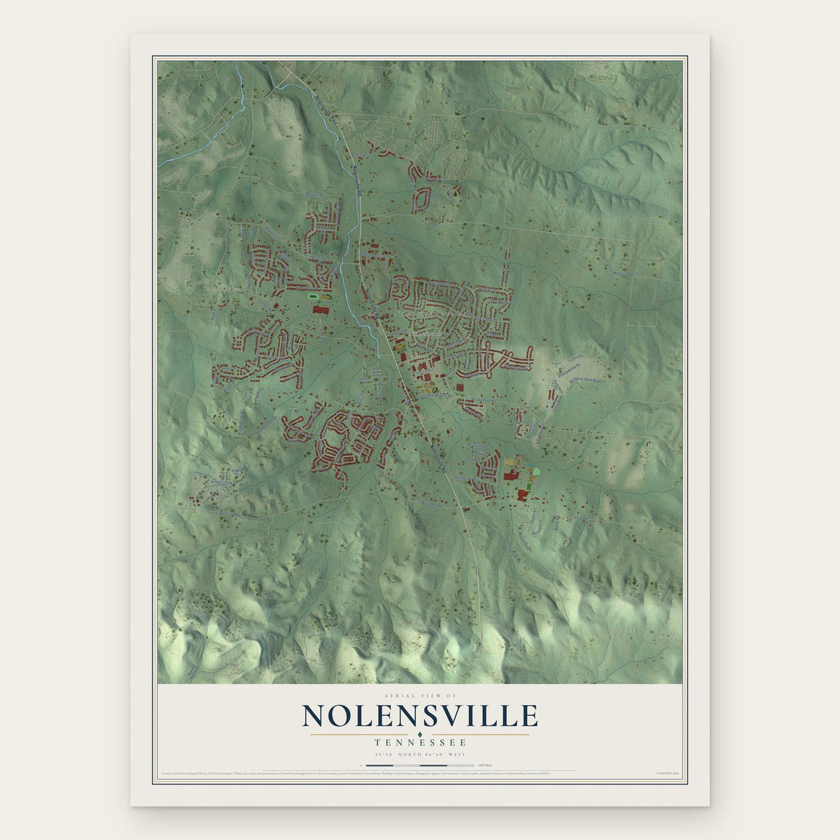
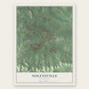
Nolensville, Tennessee Map Art
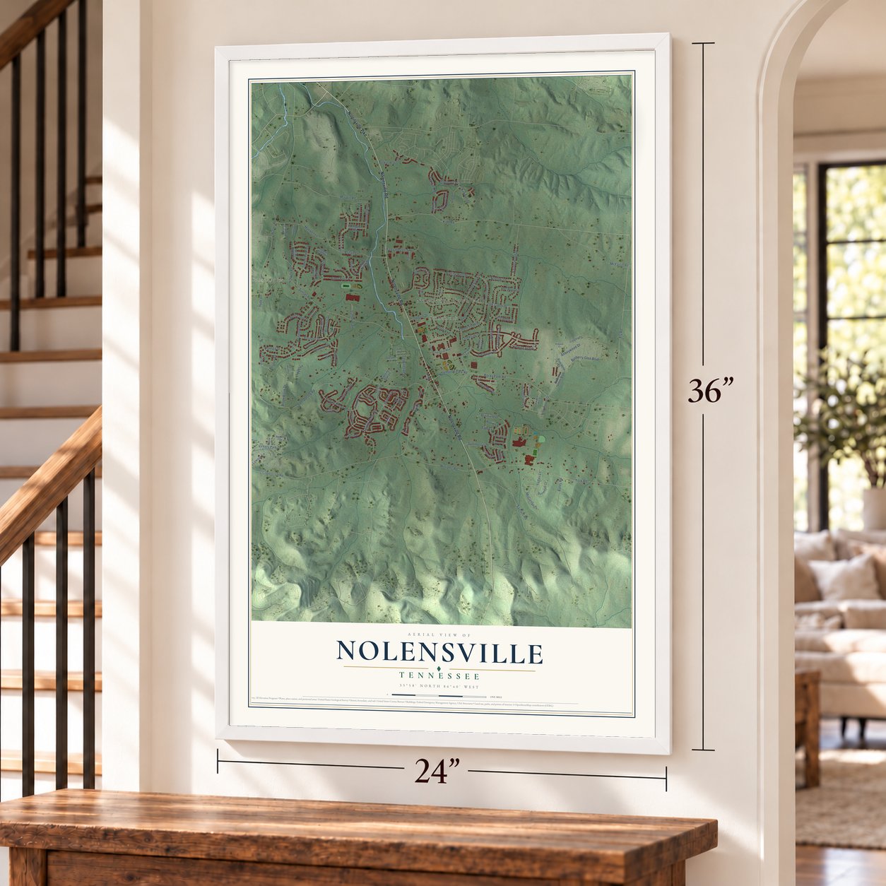
A new map of Nolensville, Tennessee, made in 2026 and printed to order on thick archival matte paper.
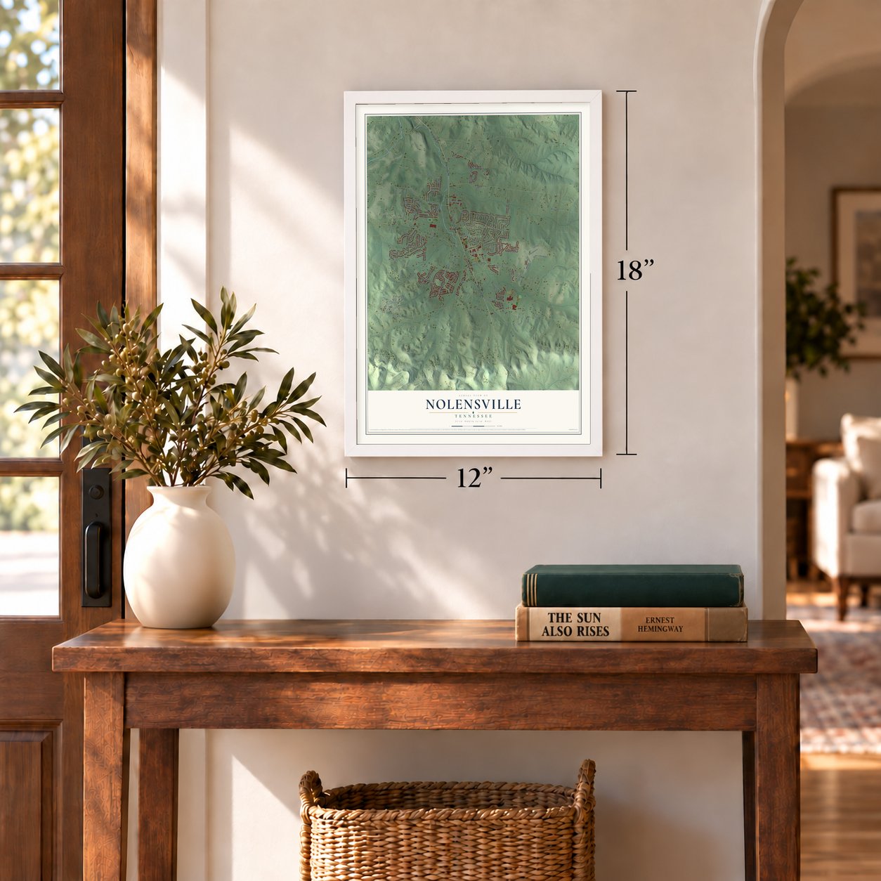
12" x 18" Archival Matte Print
A Map of Home. A Work of Art.
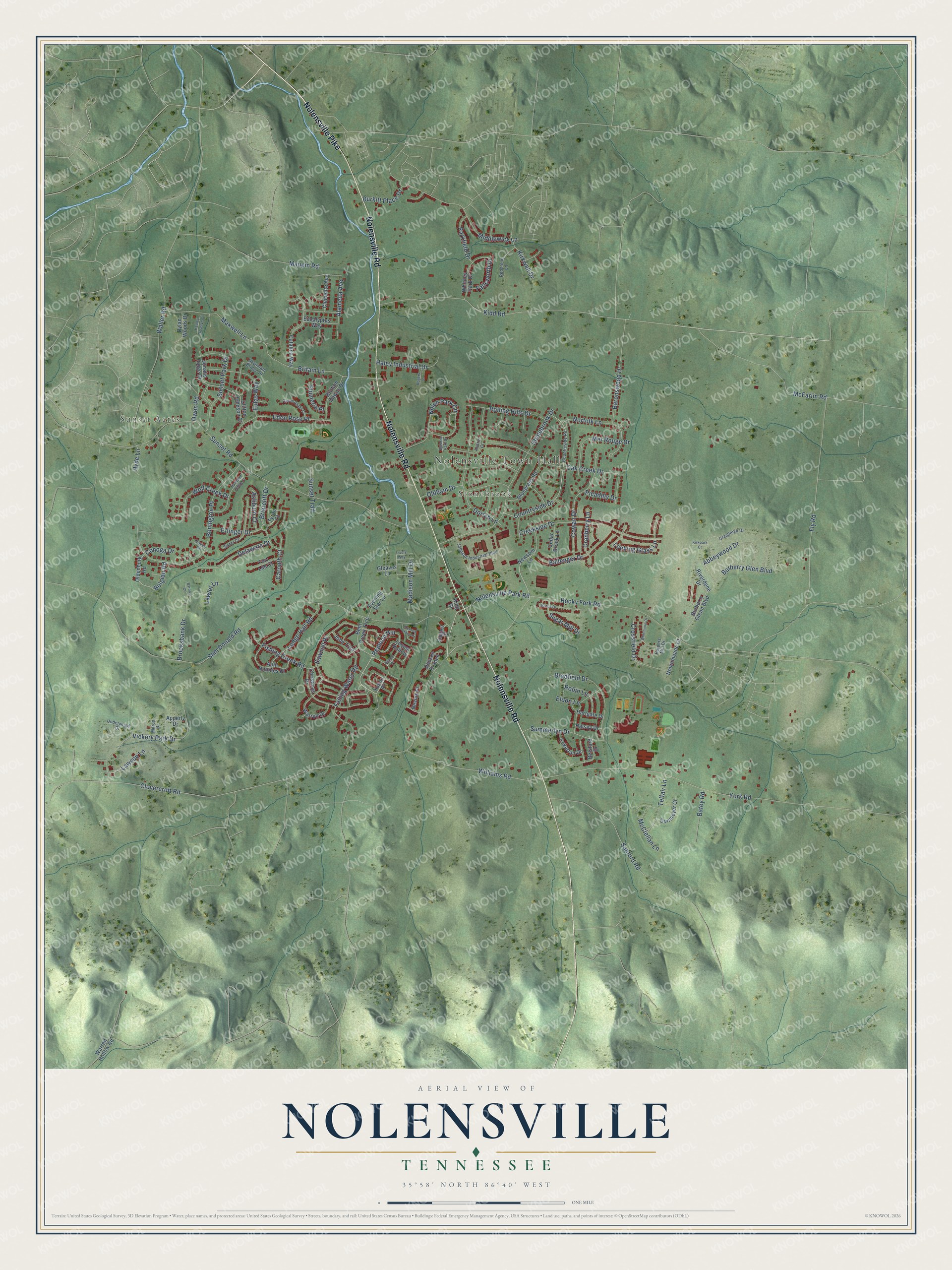
Explore Nolensville, Tennessee from a whole new perspective. Created using aerial imagery and detailed geographic data, this map captures Nolensville building by building, with labeled streets, familiar landmarks, and shaded topographical relief that highlights the natural contours of the landscape.
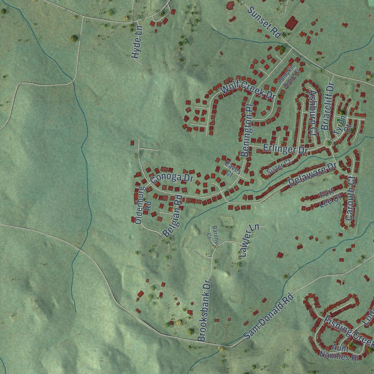
Combining modern data with the timeless character of a vintage atlas, this map is just as interesting up close as it is beautiful on the wall. Whether you grew up in Nolensville, spent memorable years there, or call it home today, this unique map is a great way to celebrate a place that means something to you. Zoom in on the preview to look for your street, and then order a print to put your memories on the wall.
Three ways to hang it
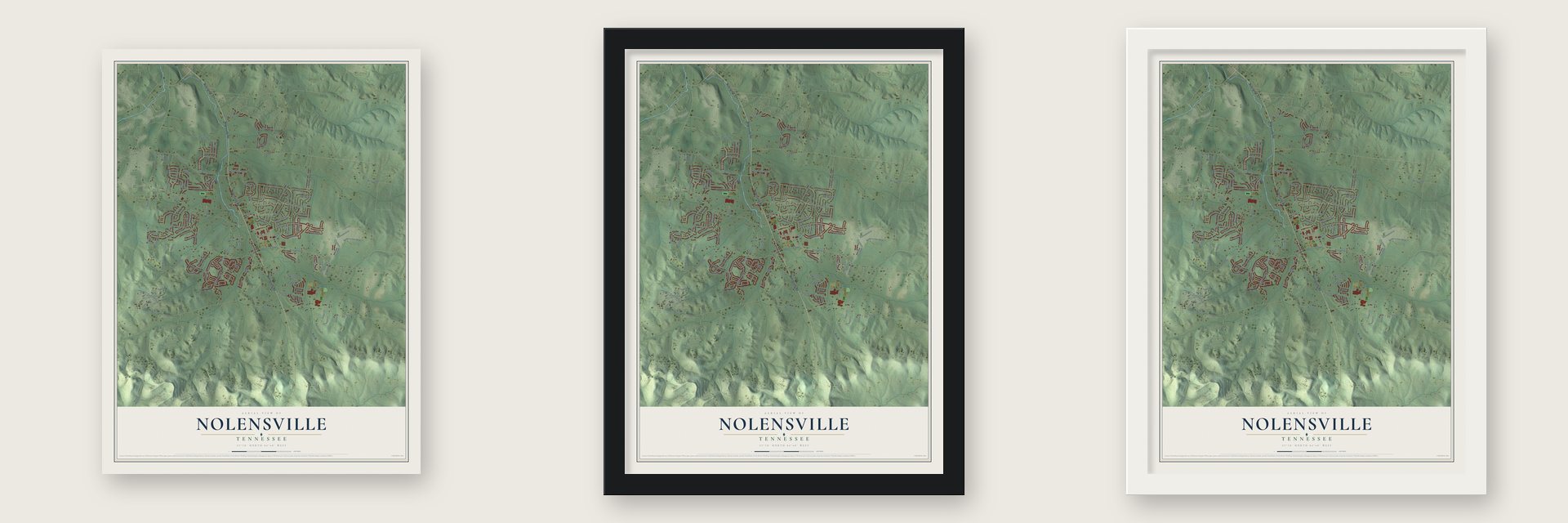
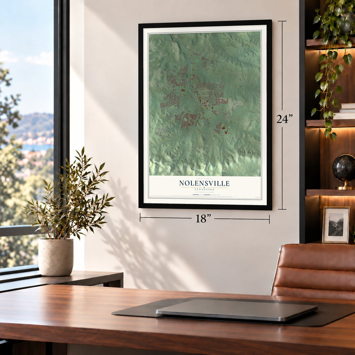
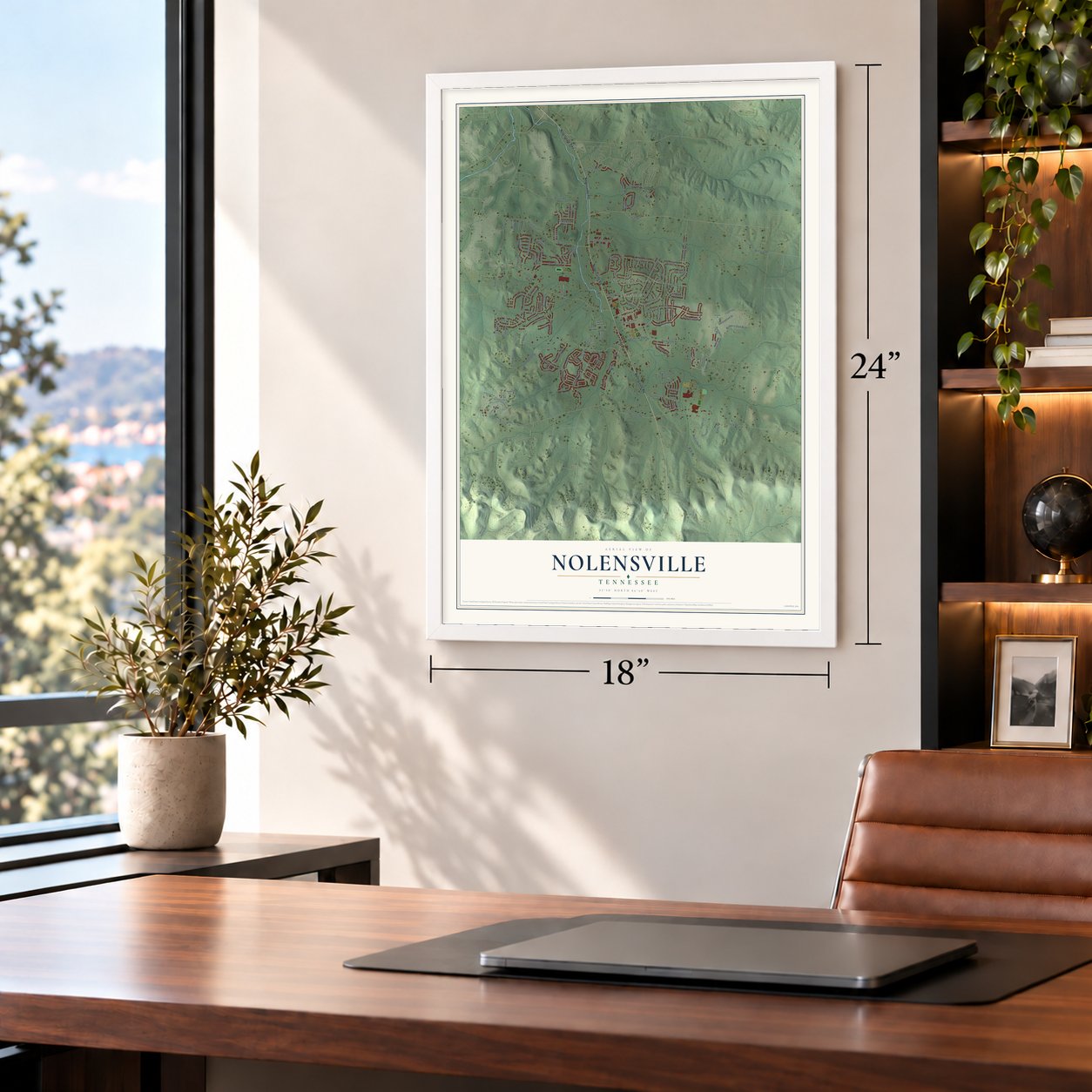
Unframed archival matte, a black wood frame or a white wood frame.
Up close
Geography Worth Displaying
This map was created using accurate cartographic data and authoritative geographic sources, including the U.S. Geological Survey and the Census Bureau. The map brings together terrain, waterways, roads, and building detail. The majority of the streets are labeled, houses are accurately depicted, and the topography is derived from government sources. Combining local data with carefully composed color and shading leads to this beautifully detailed Nolensville artwork for your wall.
Rather than simply showing street outlines, we’ve included as many of the street names as we could reasonably fit on the map while keeping their names legible. Zoom in on the high resolution preview to see exactly what’s on the map. We truly set out to create a statement piece for anyone who loves Nolensville. So whether it’s for you, or a gift for someone you love, we hope this map of Nolensville brings back fond memories.
Read the story behind this map of Nolensville, Tennessee from 2026.
About Nolensville, Tennessee
Nolensville is a town of 13,829 people in Williamson County, about 22 miles southeast of Nashville. In 1797 William Nolen, a veteran of the Revolutionary War, was traveling through with his wife, Sarah, and their five children when a wagon wheel broke. Nolen liked the rich soil and plentiful natural resources he found, so he stayed and bought part of Jason Thompson's land grant, and the town that grew there took his name.
Families from Rockingham, North Carolina, followed early in the 19th century, among them the Adams, Allen, Peay, Scales and Wisener families. The town grew up along Mill Creek and was incorporated in 1839. Voters chose to incorporate it again in August 1996, and that October they elected Charles F. Knapper as the first mayor, with Thomas Dugger III and Parman Henry as aldermen. In the fall of 2020, residents voted 1,910 to 731 to switch to a manager-commissioner charter.
- Broken Wheel TownNolensville still carries the nickname "Broken wheel town" because of the wagon wheel that cracked here and kept the Nolen family from going any farther. William Nolen's house survived into modern times, and in 2009 it was moved to a new location.
- Holding the wagon train, 1863Both armies foraged and skirmished around Nolensville in the Civil War. For a short time the Confederate horsemen of Gen. John Wharton made camp in town, and on December 30, 1862, troopers under Gen. Joseph Wheeler captured a Union supply train at Nolensville. In February 1863 a handful of soldiers from the 2nd Minnesota Volunteer Infantry held off a far larger Confederate cavalry force and saved a Union wagon train, and several of them received the Medal of Honor.
- Butter, flour and antiquesThe old center of town sits along Nolensville Road, where many 19th century buildings are still used as homes and stores. The Home Place went up in 1820 as a private house and now takes overnight guests. The Waller Funeral Home dates from 1876. The Nolensville Mill Company ran from 1890 to 1986 and now sells Amish goods, and the Co-Op Creamery, whose butter was praised across the area from 1921 to 1957, is now an antique store.
- A Rosenwald plan schoolThe Nolensville School joined the National Register in 2012. It is the only well-documented case in Tennessee of a school for white students built from a Rosenwald plan, one of the designs best known for schools built for Black children.
- Three trips to WilliamsportLittle League teams from Nolensville reached the Little League World Series in 2021, 2022 and 2023. The 2022 team placed fourth out of 20 teams.
Find your street
Names on the Nolensville map
Every name below is printed on this map. Look for your street, your school, the park where you played, or the pond down the road.
Places and landmarks3
- Nolensville Town Hall
- Sunset Acres
- Stonebrook
Streets and roads137
- Nolensville Pike
- Nolensville Road
- Redmon Hill
- Clovercroft Road
- Nolensville Park Road
- Erlinger Drive
- Cranberry Lane
- Sam Donald Road
- Sunset Road
- Rocky Fork Road
- York Road
- Benington Place
- Stonebrook Drive
- Nolen Park Circle
- Fly Road
- Waller Road
- Countryside Drive
- Creekside Drive
- Kidd Road
- Oak Creek Drive
- Vickery Park Drive
- Williams Road
- Dortch Lane
- McFarlin Road
- Maxwell Lane
- Falling Water Road
- Bradfield Drive
- Sawmill Place
- Eden Rose Place
- Sunset Park Drive
Show all 137 streets
- Britain Lane
- Madison Mill Drive
- Cowan Drive
- Ballenger Drive
- Eulas Way
- Alameda Avenue
- Norfolk Lane
- Delaware Drive
- Brooksbank Drive
- Summerlyn Drive
- Rolling Hills Drive
- Lodge Hall Road
- Abbeywood Drive
- Burberry Glen Boulevard
- Crossfield Drive
- Fishing Creek Road
- Mer Rouge Drive
- Baronswood Drive
- Wolf Creek Drive
- Briarcliff Drive
- Telfair Lane
- Haley Industrial Drive
- Middlewick Lane
- Sanford Road
- Owen Road
- Burkitt Place Drive
- Eldon Lane
- Lawson Lane
- Parkfield Drive
- Sugar Mill Drive
- Sunset Trail
- Kirkwall Drive
- Looking Glass Lane
- Robin Lane
- Fallsworth Drive
- Carouth Court
- Oldham Drive
- Ashburn Court
- Batey Road
- McClellan Lane
- Plumeria Place
- Picadilly Drive
- Maupin Road
- Lawler Lane
- Belgian Road
- Conoga Drive
- Hyde Lane
- Yukon Place
- Newsom Lane
- Oldenburg Road
- Christmas Drive
- Locust Hollow
- Aunt Nannies Place
- Catalina Way
- Bent Creek Trce
- Riverdene Drive
- Jobe Trail
- Warren Drive
- Whitney Park Drive
- Bluegrass Road
- Burberry Glenn Boulevard
- Brittain Downs Drive
- Clifton Johnson Court
- Jonahs Ridge Drive
- Hartgate Drive
- Nolenmeade Court
- Dunmeyer Court
- Evening Star Lane
- Clemente Avenue
- Eckerton Drive
- Belsford Drive
- Eucalyptus Way
- Warren Hollow Road
- Dylan Woods Drive
- Fort Lee Court
- Dobson Branch
- Cedar Brook Lane
- Halsey Drive
- Nevins Place
- Apperly Drive
- Gleaves Lane
- Siegert Place
- Tyron Court
- King Street
- Countryside Road
- Johnson Industrial Boulevard
- Newnham Bridge Drive
- Redstone Lane
- Underwood Drive
- Sister Court
- Craigleigh Drive
- Austin Court
- Marco Drive
- Harpers Mill Drive
- Eaves Court
- Pumpkin Ridge Court
- Burris Drive
- Whittmore Drive
- Queen Annes Court
- Hebron Trace Drive
- Pulley Place
- Hadley Reserve Court
- Rogers Lane
- Lively Way
- Sheldon Park Drive
- Kirkpark Court
- Barony Court
Names are listed as they appear on the printed map. Zoom into the product photos to find them.
The art of mapping a place
How This Map Was Made
Real places. Remarkable detail. Discover the layers that turn geographic data into a map of home.

The view from above
Aerial imagery reveals the character of the land: woodland, open fields, and the patterns of a place.

The shape of the land
Elevation data brings hills, valleys, and subtle changes in the landscape into view.

The details of home
Roads, waterways, and building footprints come together to make the map feel unmistakably local.

Geography becomes art
Considered color, shading, and typography bring the layers together in a map made for your wall.


Process illustrated with Mendon, Massachusetts. Aerial imagery: USDA NAIP. Terrain: USGS 3D Elevation Program. Map details and finished artwork: KNOWOL.
The Details
About This Print
Choose an archival matte print, or a black or white Ayous wood frame. The archival matte print is unframed.
Select your size and finish above to see the matching product image and price.
Materials & Craftsmanship
A contemporary map with the character of a classic atlas, printed on archival matte paper. Optional frames are made from Ayous wood.
Your printed map does not include the watermark shown in the full-map preview.
Shipping & Delivery
Free shipping within the United States. Every print is made to order in the USA.
Buying a gift? Add a note in your cart and we'll include it. We never put prices in the package.
Prints ship within 2 to 3 business days. Allow 7 to 10 days total from ordering for delivery. Timing may vary during holidays or periods of high order volume.
Read our shipping policy.
Returns and damaged prints
Each print is made to order. Change-of-mind refunds are not available after production.
If your print arrives damaged, misprinted or incorrect, contact support@knowol.com within 30 days of receiving it. Include your order number, photos and a description of the issue.
Read our full refund and replacement policy. For questions about your order, email support@knowol.com.
Find your town
Looking for another city?
Find a map of home in our Tennessee collection, or any town in the country.
Nearby
Maps of towns near Nolensville
Know someone from one of these towns? Their map makes a great gift.
 Brentwood
, Tennessee
From $39.99See the map
 La Vergne
, Tennessee
From $39.99See the map
 Smyrna
, Tennessee
From $39.99See the map
More maps nearby: Oak Hill, Franklin, Forest Hills, Berry Hill and Rural Hill.