
Search for another town


Free U.S. delivery 7 to 10 days after you order
North Hampton, New Hampshire Map Art
Building by building, with labeled streets and shaded relief.
12" x 18" Archival Matte Print
A Map of Home. A Work of Art.
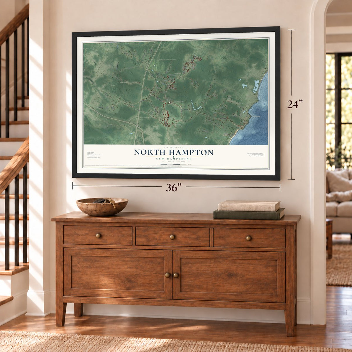
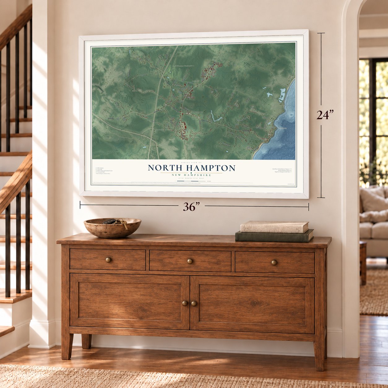
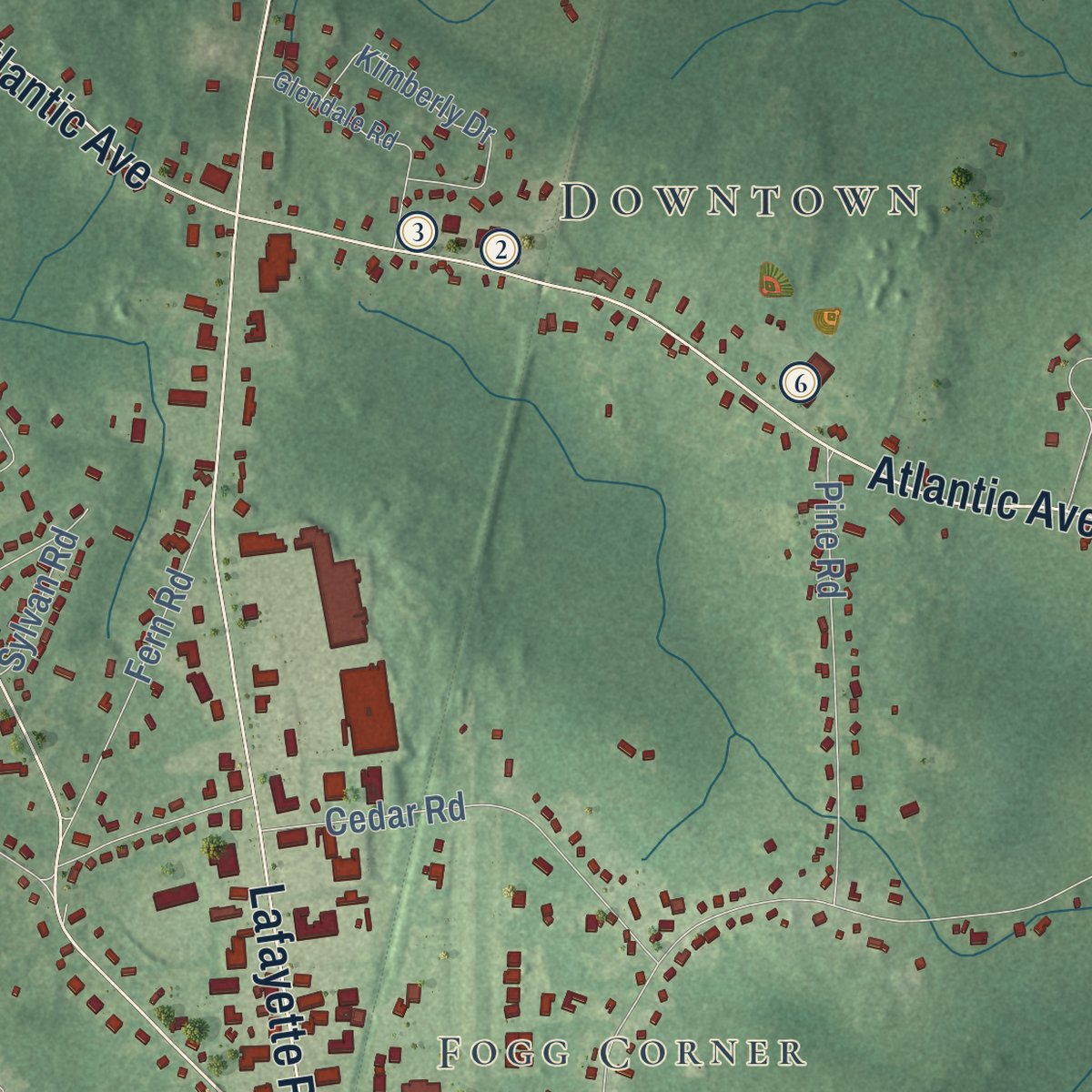
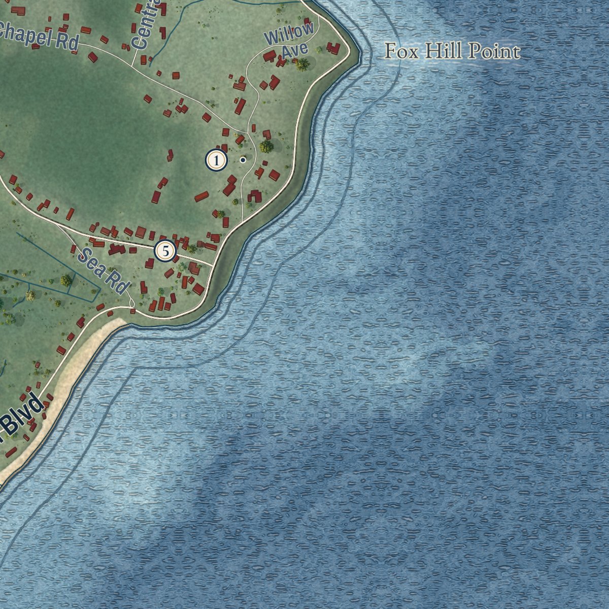
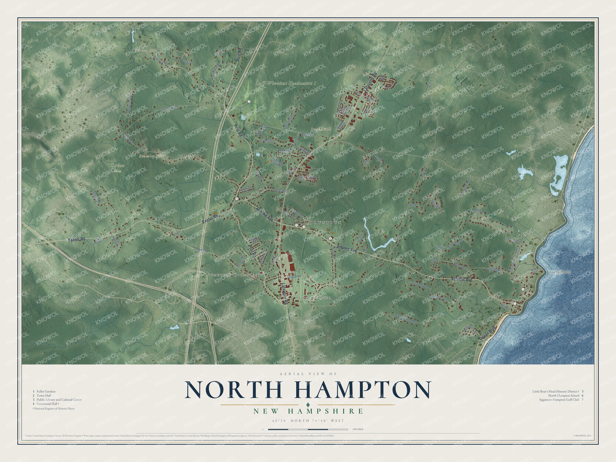
Explore North Hampton, New Hampshire from a whole new perspective. Created using aerial imagery and detailed geographic data, this map captures North Hampton building by building, with labeled streets, familiar landmarks, and shaded topographical relief that highlights the natural contours of the landscape.
Combining modern data with the timeless character of a vintage atlas, this map is just as interesting up close as it is beautiful on the wall. Whether you grew up in North Hampton, spent memorable years there, or call it home today, this unique map is a great way to celebrate a place that means something to you. Zoom in on the preview to look for your street, and then order a print to put your memories on the wall.
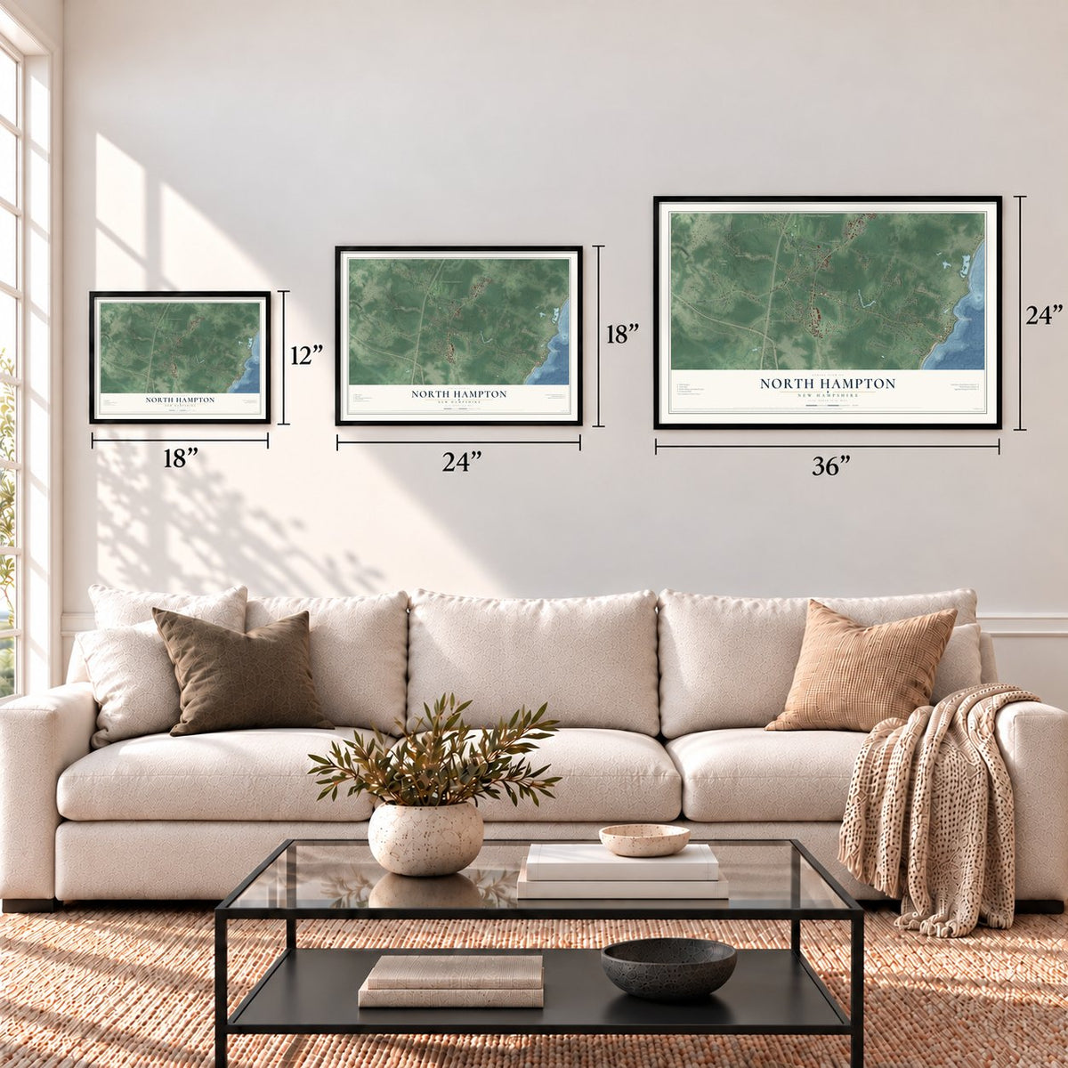
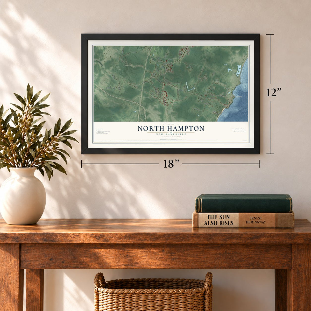
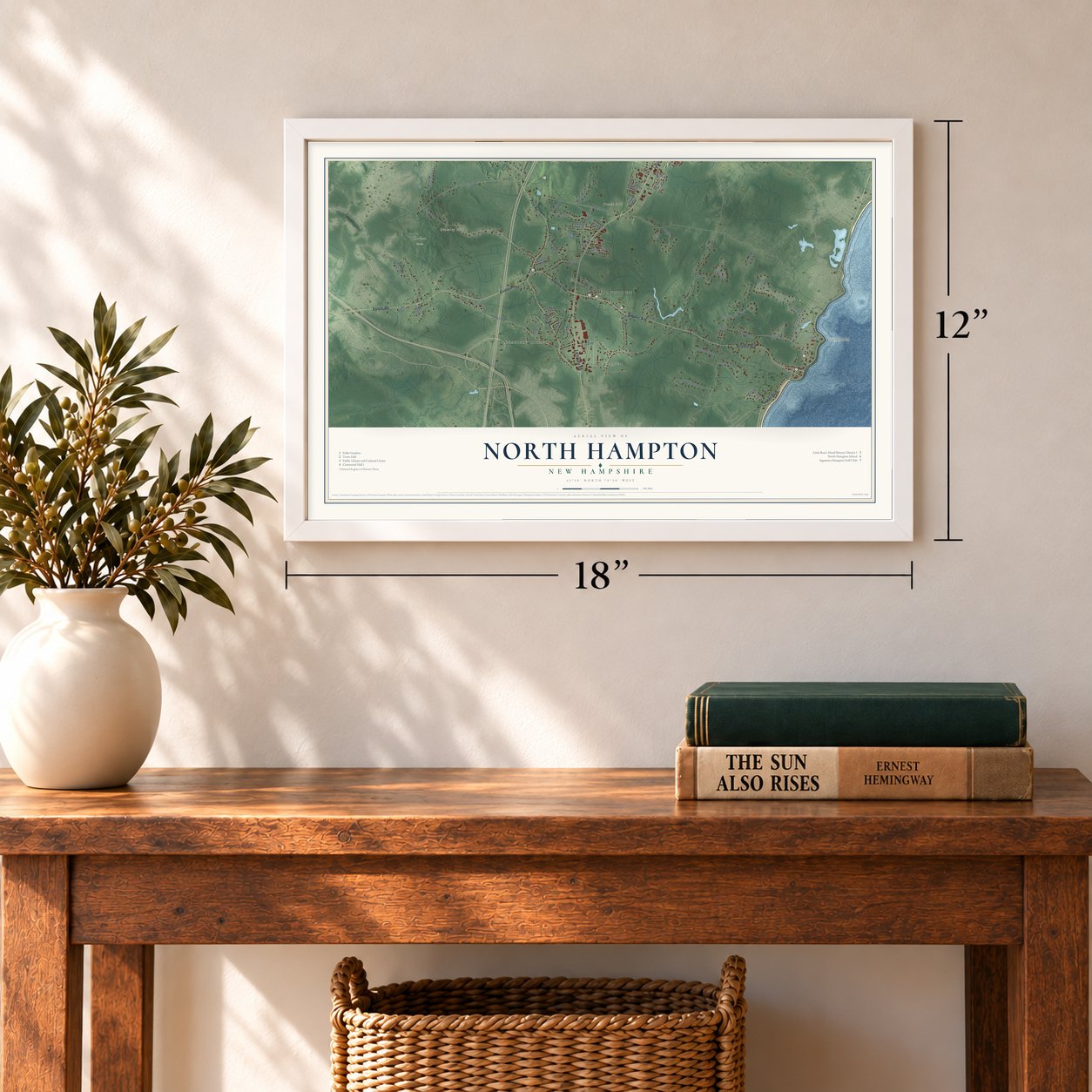
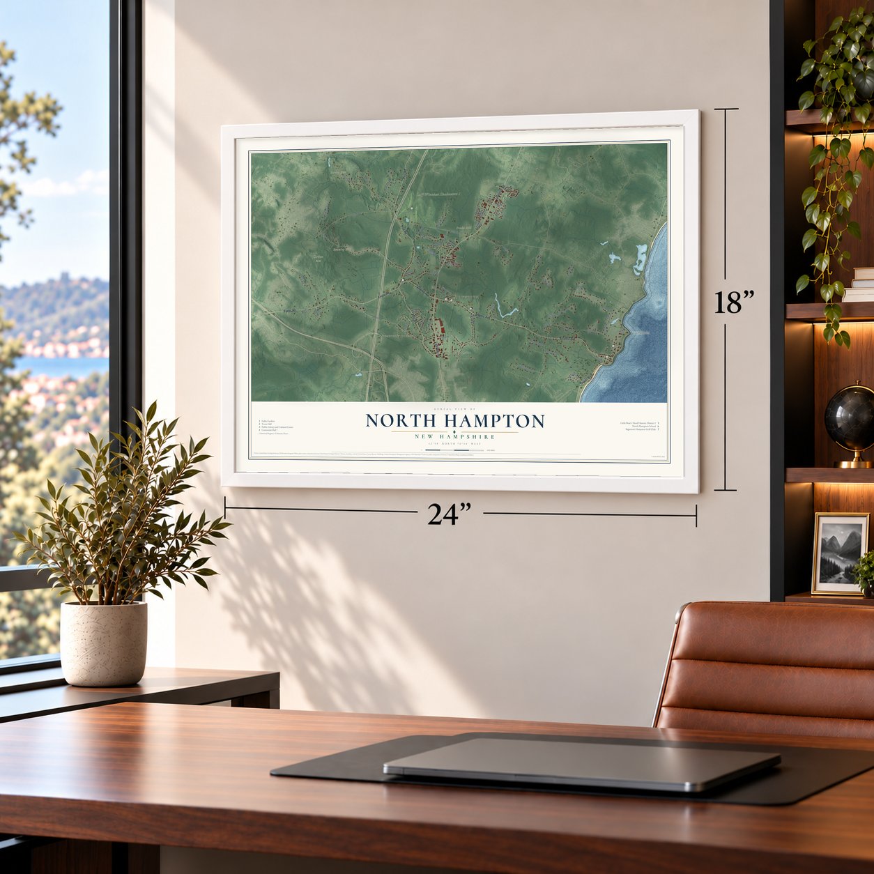
Three ways to hang it
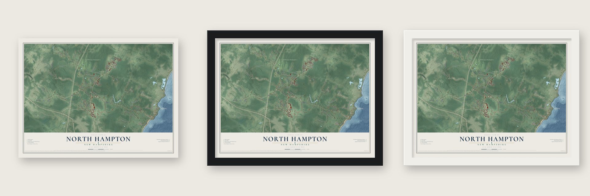
Unframed archival matte, a black wood frame or a white wood frame.
Up close
Geography Worth Displaying
This map was created using accurate cartographic data and authoritative geographic sources, including the U.S. Geological Survey (USGS) and FEMA. The map brings together terrain, waterways, roads, and building detail. The majority of the streets are labeled, houses are accurately depicted, and the topography is derived from government sources. Combining local data with carefully composed color and shading leads to this beautifully detailed North Hampton artwork for your wall.
Rather than simply showing street outlines, we’ve included as many of the street names as we could reasonably fit on the map while keeping their names legible. Zoom in on the high resolution preview to see exactly what’s on the map. We truly set out to create a statement piece for anyone who loves North Hampton. So whether it’s for you, or a gift for someone you love, we hope this map of North Hampton brings back fond memories.
Explore the full map of North Hampton, New Hampshire and read about the local places it shows.

Find your street
Names on the North Hampton map
Every name below is printed on this map. Look for your street, your school, the park where you played, or the pond down the road.
Places and landmarks9
- Downtown
- Fogg Corner
- Cemetery Corners
- Barton Hill
- Brumley Hill
- Drake Hill
- Fox Hill Point
- Luff-Winnicut Headwaters 1
- Corbett Farm
Streets and roads71
- Exeter Road
- Atlantic Avenue
- Post Road
- Lafayette Road
- Ocean Boulevard
- Winterberry Lane
- New Road
- Lovering Road
- Winnicut Road
- Mill Road
- Woodland Road
- Walnut Avenue
- South Road
- North Road
- Goss Road
- Squier Drive
- Chapel Road
- Shiprock Road
- Rockrimmon Road
- Pond Path
- Highlander Drive
- Deer Run Road
- Hobbs Road
- Birch Road
- Central Road
- Maple Road
- Cedar Road
- Evergreen
- Pine Road
- Granite Drive
Show all 71 streets
- Garrett Road
- Mill Place
- Fern Road
- Oak Drive
- Elm Road
- Appledore Avenue
- Cherry Road
- Cotton Farm Lane
- Juniper Road
- Sea Road
- River Road
- Sylvan Road
- Chestnut Road
- Buckskin Lane
- Willow Avenue
- Boutilier Lane
- Runnymede Drive
- Bradley Lane
- Beau Monde Drive
- Woodknoll Drive
- Park Circle
- Kimberly Drive
- Unnamed Access Road
- Stone Ledge Road
- Grandview Terrace
- Bashby Road
- Hillside Road
- Foot Trail
- Slippery Rock Drive
- Holly Circle
- Old Locke Road
- Red Fox Road
- Glendale Road
- Aspen Way
- West Road
- Shel Al Mobile Ests
- Lafayette Terrace
- Spruce Meadow Drive
- Goldenrod Way
- Dearborne Road
- Morgan Lane
Names are listed as they appear on the printed map. Zoom into the product photos to find them.
About North Hampton, New Hampshire
North Hampton is a town of 4,538 people in Rockingham County, on the Atlantic coast. Settlers arrived in 1639, when this land was the northern end of Hampton, called North Hill or North Parish. Its residents first asked to break away from Hampton in 1719, but they had to wait until New Hampshire separated from Massachusetts. In 1742 Governor Benning Wentworth finally granted them a township of their own.
For another century the coast at Little Boar's Head, a low glacial hill above the Gulf of Maine, held only fishermen and farms. That changed in 1845, when Senator James Bell bought land there from a farmer. In 1862 the senator put up Bell's Cottage as a home for his daughter, and it was the first of the summer houses. Franklin Pierce, by then a former president, also bought land in the 1860s, and Bachelder's Hotel welcomed guests from 1868. Little Boar's Head grew into a fashionable summer resort.
- A schoolhouse from 1876John W. F. Hobbs grew up in North Hampton and made his fortune in Boston. In 1875 and 1876 he paid for a new school to relieve two crowded school districts, on land the Congregational church gave beside the triangular town green. Classes met downstairs, and a meeting hall filled the upper floor. Children studied in the building until 1949, and in 1998 a local nonprofit purchased it to keep it standing. Centennial Hall joined the National Register in 2016.
- Born here in 1751Henry Dearborn was born in North Hampton in 1751. He fought at Saratoga during the Revolution and kept journals of the war that historians still use, and he later served as the 5th US Secretary of War.
- The governor's rose gardensAlvan T. Fuller, the Boston car dealer who became governor of Massachusetts, built his summer estate, Runnymede-by-the-Sea, in 1927. Arthur Shurcliff laid out its first garden, and the Olmsted Brothers redesigned it in 1931 with formal rose gardens. Fuller wanted visitors to see the ocean, so the house was torn down in 1962. Fuller Gardens, with its roses, Japanese garden and conservatory, now opens daily from mid-May to mid-October.
- A Filly Triple Crown in 1985Mom's Command was bred at Runnymede Farm in North Hampton by Peter D. Fuller, son of the governor. With his daughter Abigail Fuller riding, the filly won the Filly Triple Crown in 1985, and Abigail became the first woman jockey to sweep all three races. Mom's Command is buried on the farm, and a billboard along Route 111 shows her with Dancer's Image, another Fuller horse.
Keep exploring New Hampshire
North Hampton is one of 276 New Hampshire towns we've mapped. Every dot on the map is a print of its own.
The search covers every state, New Hampshire first.
Near North Hampton
Order 2 or more town maps and save 10%. Shown in the size and finish you picked above, so they hang as a set.
- Hampton 12" x 18" / Archival Matte Print $39.99
- Greenland 12" x 18" / Archival Matte Print $39.99
- Stratham 12" x 18" / Archival Matte Print $39.99


More maps nearby: Hampton Beach, Hampton Falls, Portsmouth, Rye and Exeter.
The art of mapping a place
How This Map Was Made
Real places. Remarkable detail. Discover the layers that turn geographic data into a map of home.

The view from above
Aerial imagery reveals the character of the land: woodland, open fields, and the patterns of a place.

The shape of the land
Elevation data brings hills, valleys, and subtle changes in the landscape into view.

The details of home
Roads, waterways, and building footprints come together to make the map feel unmistakably local.

Geography becomes art
Considered color, shading, and typography bring the layers together in a map made for your wall.


Process illustrated with Mendon, Massachusetts. Aerial imagery: USDA NAIP. Terrain: USGS 3D Elevation Program. Map details and finished artwork: KNOWOL.
The Details
About This Print
Choose an archival matte print, or a black or white Ayous wood frame. The archival matte print is unframed.
Select your size and finish above to see the matching product image and price.
Materials & Craftsmanship
A contemporary map with the character of a classic atlas, printed on archival matte paper. Optional frames are made from Ayous wood.
Your printed map does not include the watermark shown in the full-map preview.
Shipping & Delivery
Free shipping within the United States. Every print is made to order in the USA.
Buying a gift? Add a note in your cart and we'll include it. We never put prices in the package.
Prints ship within 2 to 3 business days. Allow 7 to 10 days total from ordering for delivery. Timing may vary during holidays or periods of high order volume.
Read our shipping policy.
Returns and damaged prints
Each print is made to order. Change-of-mind refunds are not available after production.
If your print arrives damaged, misprinted or incorrect, contact support@knowol.com within 30 days of receiving it. Include your order number, photos and a description of the issue.
Read our full refund and replacement policy. For questions about your order, email support@knowol.com.