
Search for another town



Free U.S. delivery 7 to 10 days after you order
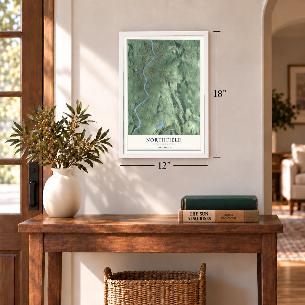
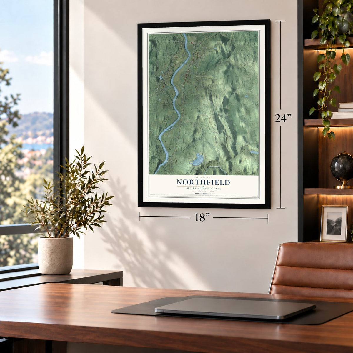
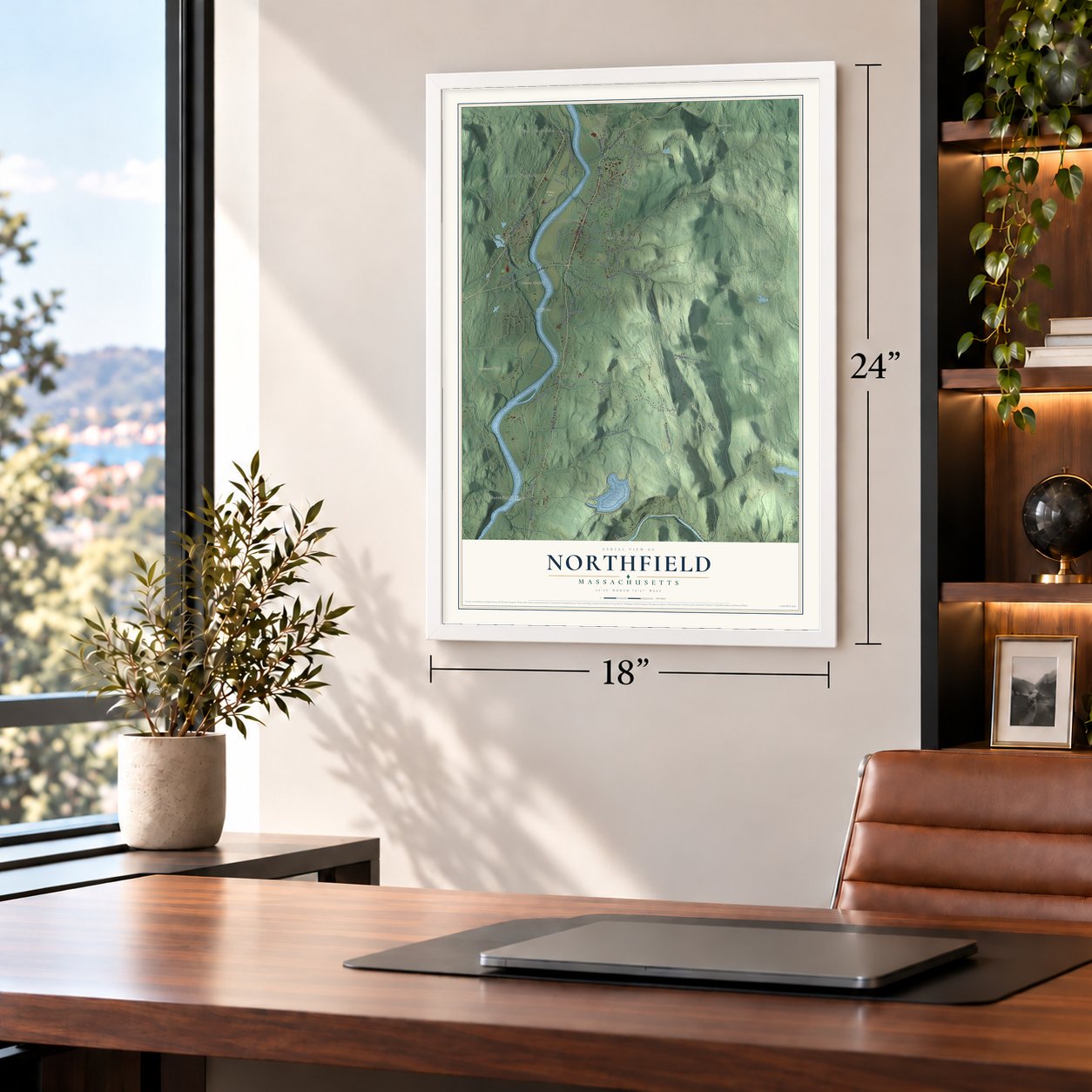
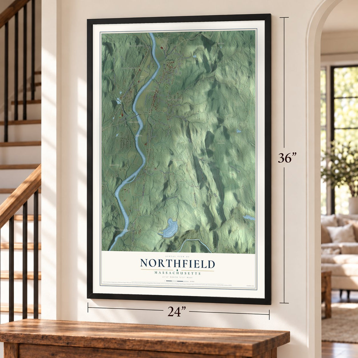
Northfield, Massachusetts Map Art
Building by building, with labeled streets and shaded relief.
12" x 18" Archival Matte Print
A Map of Home. A Work of Art.
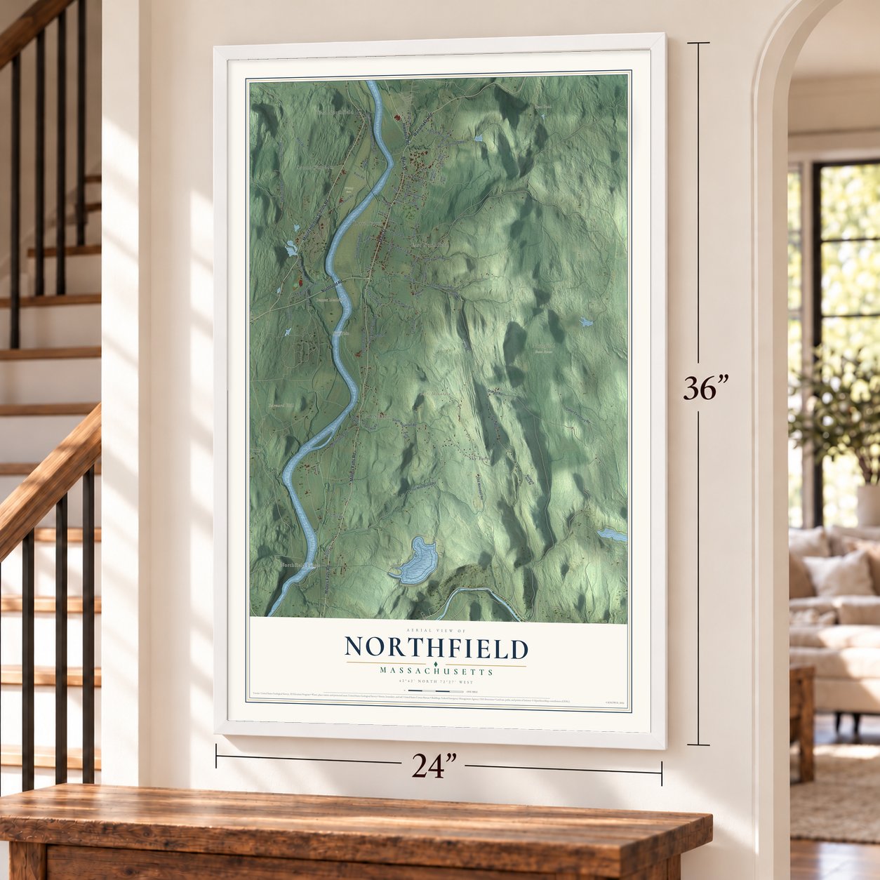
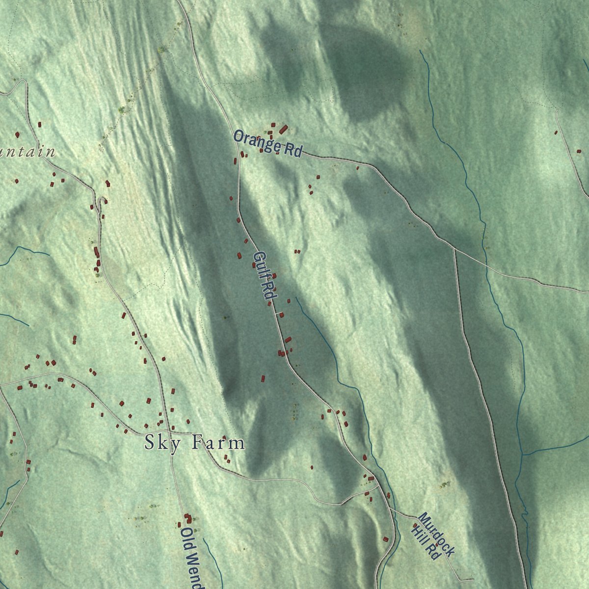
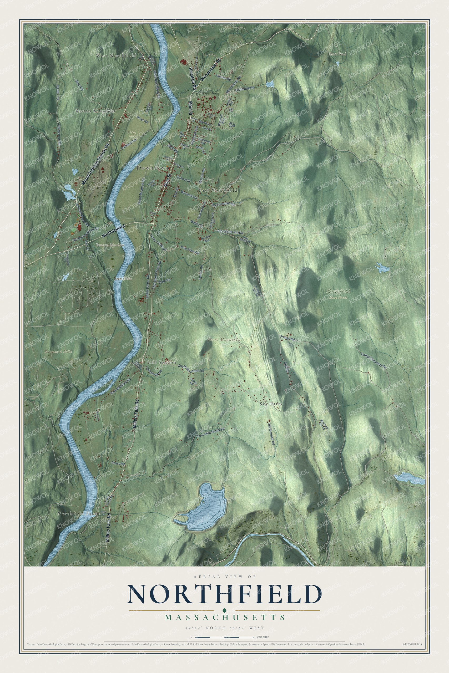
Explore Northfield, Massachusetts from a whole new perspective. Created using aerial imagery and detailed geographic data, this map captures Northfield building by building, with labeled streets, familiar landmarks, and shaded topographical relief that highlights the natural contours of the landscape.
Combining modern data with the timeless character of a vintage atlas, this map is just as interesting up close as it is beautiful on the wall. Whether you grew up in Northfield, spent memorable years there, or call it home today, this unique map is a great way to celebrate a place that means something to you. Zoom in on the preview to look for your street, and then order a print to put your memories on the wall.
Three ways to hang it
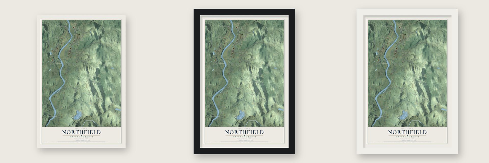
Unframed archival matte, a black wood frame or a white wood frame.
Up close
Geography Worth Displaying
This map was created using accurate cartographic data and authoritative geographic sources, including the U.S. Geological Survey (USGS) and FEMA. The map brings together terrain, waterways, roads, and building detail. The majority of the streets are labeled, houses are accurately depicted, and the topography is derived from government sources. Combining local data with carefully composed color and shading leads to this beautifully detailed Northfield artwork for your wall.
Rather than simply showing street outlines, we’ve included as many of the street names as we could reasonably fit on the map while keeping their names legible. Zoom in on the high resolution preview to see exactly what’s on the map. We truly set out to create a statement piece for anyone who loves Northfield. So whether it’s for you, or a gift for someone you love, we hope this map of Northfield brings back fond memories.
Explore the full map of Northfield, Massachusetts and read about the local places it shows.

Find your street
Names on the Northfield map
Every name below is printed on this map. Look for your street, your school, the park where you played, or the pond down the road.
Places and landmarks14
- Downtown
- West Northfield
- Northfield Farms
- Barnard Hill
- Beers Mountain
- Beers Plain
- Bennett Meadow
- Bent Pond
- Northfield State Forest
- Wickey Farm
- Sky Farm
- East Northfield
Show all 14 places
- Satans Kingdom
- Gill Station
Streets and roads74
- Millers Falls Road
- Main Street
- Wanamaker Road
- Hinsdale Road
- Mount Hermon Station Road
- Northfield Road
- Highland Avenue
- North Lane
- Gulf Road
- Pine Meadow Road
- Warwick Road
- Winchester Road
- West Road
- Great Meadow Road
- Old Wendell Road
- South Mountain Road
- Four Mile Brook Road
- Old Vernon Road
- Orange Road
- Alexander Hill Road
- Vernon Road
- Caldwell Road
- School Street
- Birnam Road
- Capt Beers Plain Road
- Coller Cemetary Road
- West Northfield Road
- Maple Street
- Upper Farms Road
- Old Bernardston Road
Show all 74 streets
- Old Turnpike Road
- Bennett Brook Road
- River Road
- East Street
- Cross Road
- Lyman Hill Road
- New Plain Road
- Pierson Road
- Louisiana Road
- Lucky Clapp Road
- Lyman Road
- Hotel Road
- Slate Road
- Glen Road
- Parker Avenue
- Pine Street
- Saint Marys Street
- Randall Road
- Lower Farms Road
- Glenwood Avenue
- Linden Avenue
- Murdock Hill Road
- Main Road
- Fisher Road
- Woodruff Way
- Prospect Hill Road
- Holton Street
- Old Elm Way
- Cliff Road
- Commonwealth Avenue
- Ashuelot Road
- Dickinson Street
- Lamplighter Way
- Munns Ferry Road
- Oak Terrace
- Pratt Hollow Road
- Lorita Lane
- Railroad Station Road
- Pentecost Road
- Riverview Drive
- Moody Street
- Ferry Road
- Adams Road
- Bolton Road
Names are listed as they appear on the printed map. Zoom into the product photos to find them.
About Northfield, Massachusetts
Northfield is a town of 2,866 people in Franklin County, where Massachusetts meets New Hampshire and Vermont. Before English settlers came, the Nipmuc and Sokoki Abenaki lived here in a village called Squakheag, or Skakeat. Colonists arrived in 1673, but the Battle on Beer's Plain was fought here in 1675, during King Philip's War, and the wars that followed drove the settlers away more than once. Permanent settlement began in 1714, and Northfield was incorporated in 1723. That same year, on August 13, Gray Lock led a raid in which four warriors killed two townspeople.
The settlers laid out Main Street on a terrace above the Connecticut River, and it still keeps many of its first lot lines between Pauchaug Brook and Millers Brook, a stretch of more than 2 miles. In 1799 the builders Calvin and Samuel Stearns, who had worked for Charles Bulfinch in Boston, moved to Northfield, and many of the Federal and Greek Revival houses along the street are their work.
- Moody's schoolsDwight L. Moody was born in Northfield in 1837, became a famous evangelist and returned to a farm near his birthplace. He opened the Northfield Seminary for Girls on an East Northfield hillside in 1879, then in 1881 a boys' school, Mount Hermon, across the river in Gill. The schools merged in 1971, and in 2005 everything moved to Gill. Moody's birthplace and grave remain a historic site on the old campus, home to Thomas Aquinas College since 2019.
- A summer resort from 1887Moody's summer religious conferences drew thousands yearly and made Northfield a summer resort, especially once the Northfield Hotel opened in 1887. Across the street, New York capitalist Francis Schell had architect Bruce Price design a turreted 99-room chateau, finished in 1903, that later became the hotel's guest house. In the 1960s Northfield Mount Hermon School bought both and razed them without warning guests, some still arriving as the hotel fell.
- Schell's $45,000 bridgeTrains reached Northfield by 1850 on the Vermont and Massachusetts Railroad, but East Northfield Station stood in West Northfield, so passengers had to cross back over the Connecticut on the lower deck of the railroad bridge. Francis Schell gave $45,000 for a safer way across, and from 1901 to 1903 the Schell Bridge went up, a steel Pennsylvania truss that clears the river in a single 515-foot span. It has been closed to traffic since 1985.
- Indoor plumbing in 1904Opened in 1904 a short way east of Main Street, the Pine Street School was the town's first with indoor plumbing and central heating. Since 1943 it has been home to the town museum.
- Power from a mountain since 1972In 1972 a pumped-storage power plant began running inside the rock beneath Northfield and Erving. Its man-made upper pool, Northfield Mountain Reservoir, spreads over 300 acres, about 800 feet higher than the Connecticut River.
Keep exploring Massachusetts
Northfield is one of 468 Massachusetts towns we've mapped. Every dot on the map is a print of its own.
The search covers every state, Massachusetts first.
Near Northfield
Order 2 or more town maps and save 10%. Shown in the size and finish you picked above, so they hang as a set.
- Gill 12" x 18" / Archival Matte Print $39.99
- Erving 12" x 18" / Archival Matte Print $39.99
- Bernardston 12" x 18" / Archival Matte Print $39.99
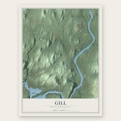


More maps nearby: Warwick, Millers Falls, Turners Falls, Greenfield and Wendell.
The art of mapping a place
How This Map Was Made
Real places. Remarkable detail. Discover the layers that turn geographic data into a map of home.

The view from above
Aerial imagery reveals the character of the land: woodland, open fields, and the patterns of a place.

The shape of the land
Elevation data brings hills, valleys, and subtle changes in the landscape into view.

The details of home
Roads, waterways, and building footprints come together to make the map feel unmistakably local.

Geography becomes art
Considered color, shading, and typography bring the layers together in a map made for your wall.


Process illustrated with Mendon, Massachusetts. Aerial imagery: USDA NAIP. Terrain: USGS 3D Elevation Program. Map details and finished artwork: KNOWOL.
The Details
About This Print
Choose an archival matte print, or a black or white Ayous wood frame. The archival matte print is unframed.
Select your size and finish above to see the matching product image and price.
Materials & Craftsmanship
A contemporary map with the character of a classic atlas, printed on archival matte paper. Optional frames are made from Ayous wood.
Your printed map does not include the watermark shown in the full-map preview.
Shipping & Delivery
Free shipping within the United States. Every print is made to order in the USA.
Buying a gift? Add a note in your cart and we'll include it. We never put prices in the package.
Prints ship within 2 to 3 business days. Allow 7 to 10 days total from ordering for delivery. Timing may vary during holidays or periods of high order volume.
Read our shipping policy.
Returns and damaged prints
Each print is made to order. Change-of-mind refunds are not available after production.
If your print arrives damaged, misprinted or incorrect, contact support@knowol.com within 30 days of receiving it. Include your order number, photos and a description of the issue.
Read our full refund and replacement policy. For questions about your order, email support@knowol.com.