
Search for another town
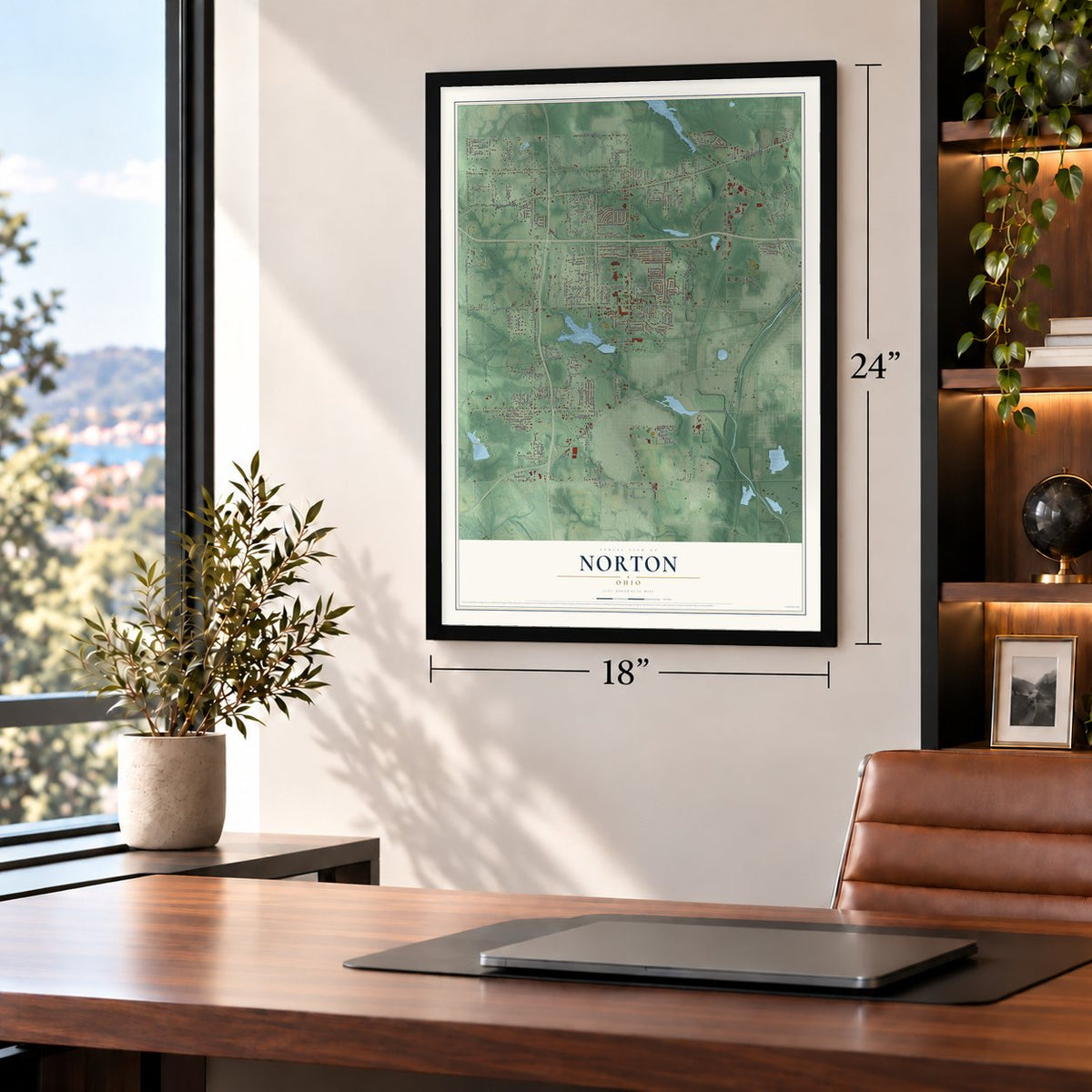
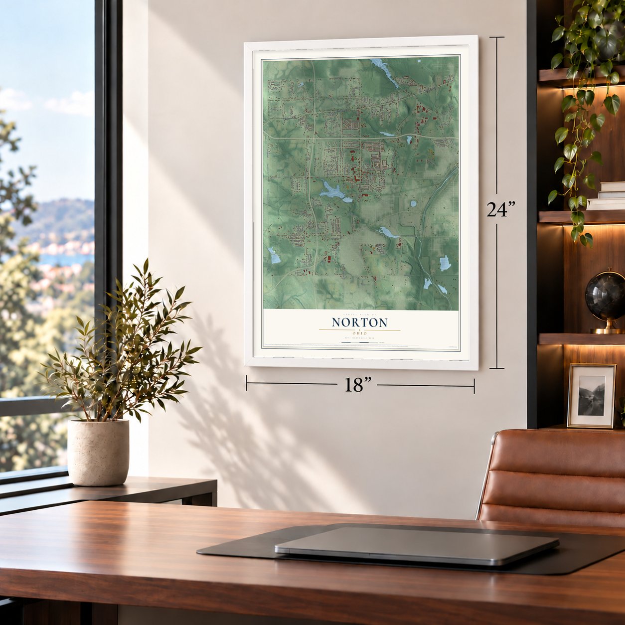
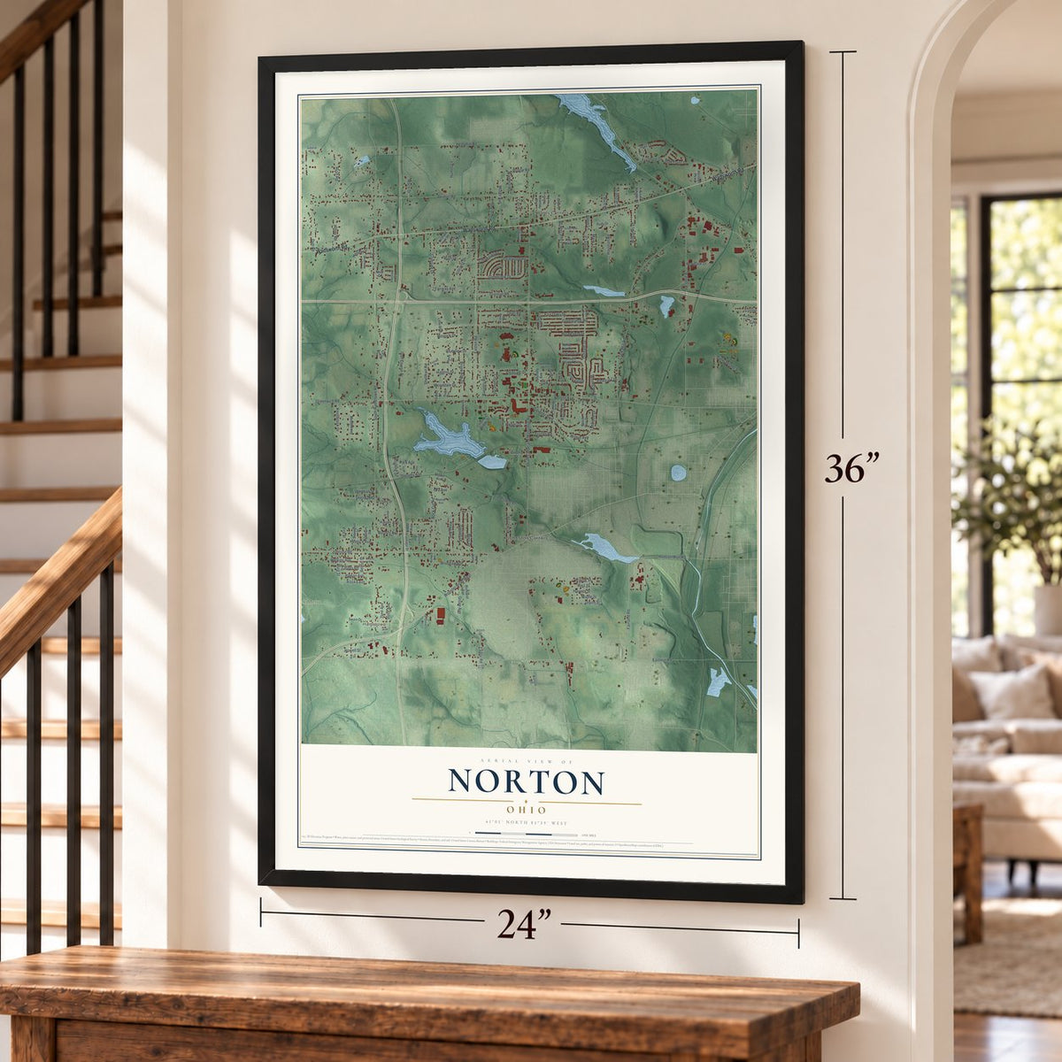
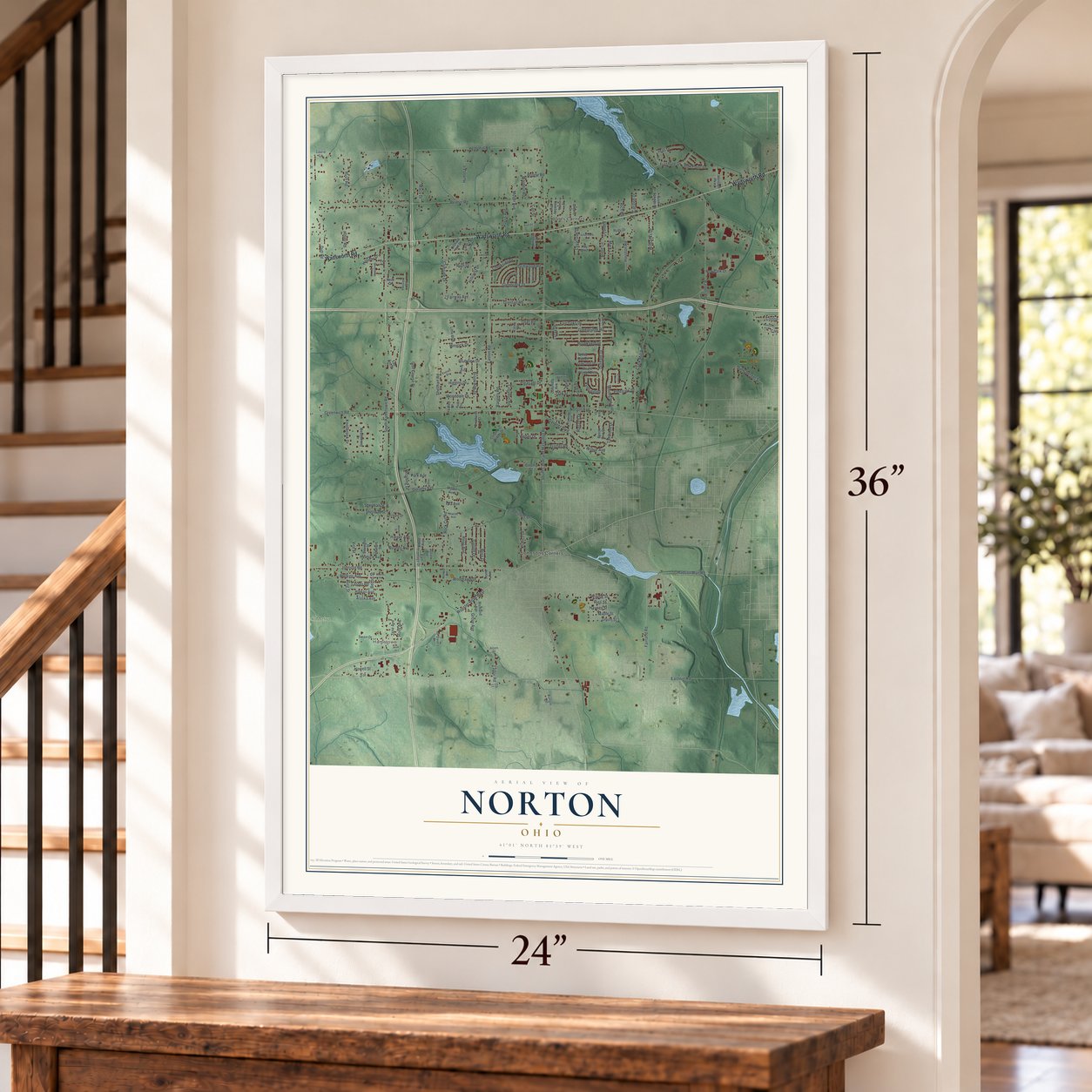
Free U.S. delivery 7 to 10 days after you order
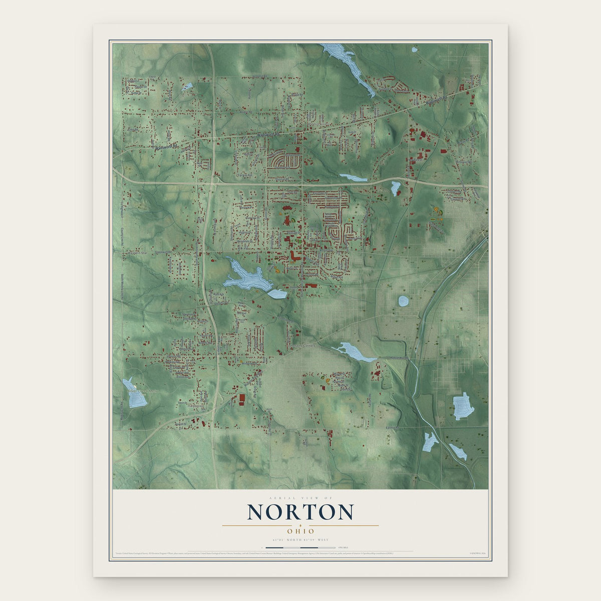
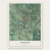
Norton, Ohio Map Art
Building by building, with labeled streets and shaded relief.
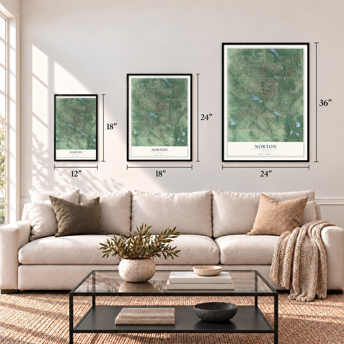
12" x 18" Archival Matte Print
A Map of Home. A Work of Art.
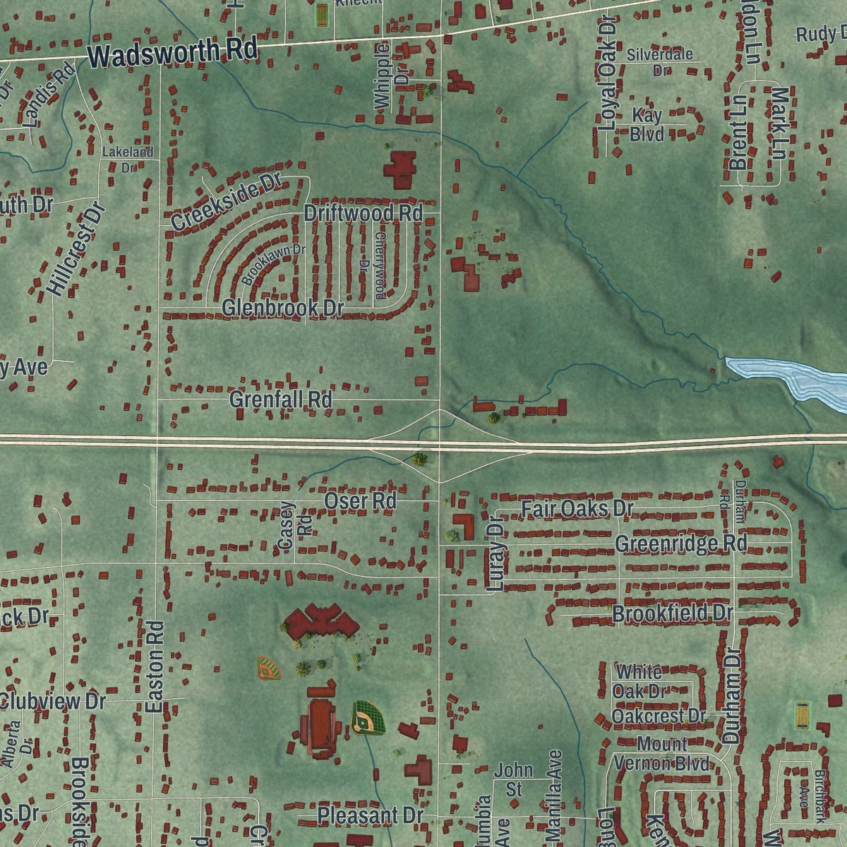
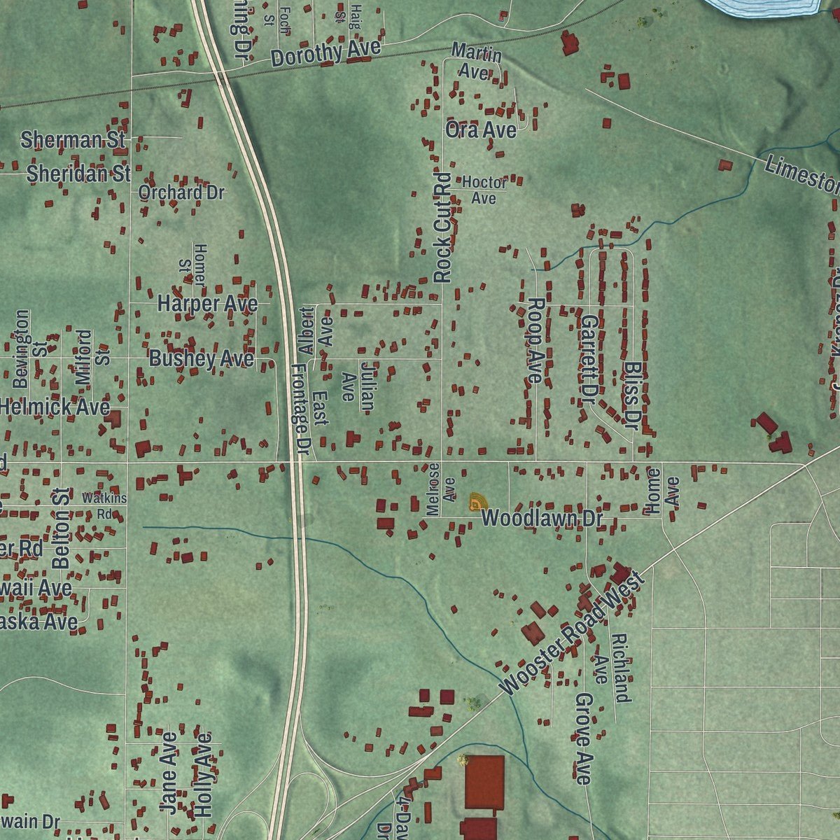
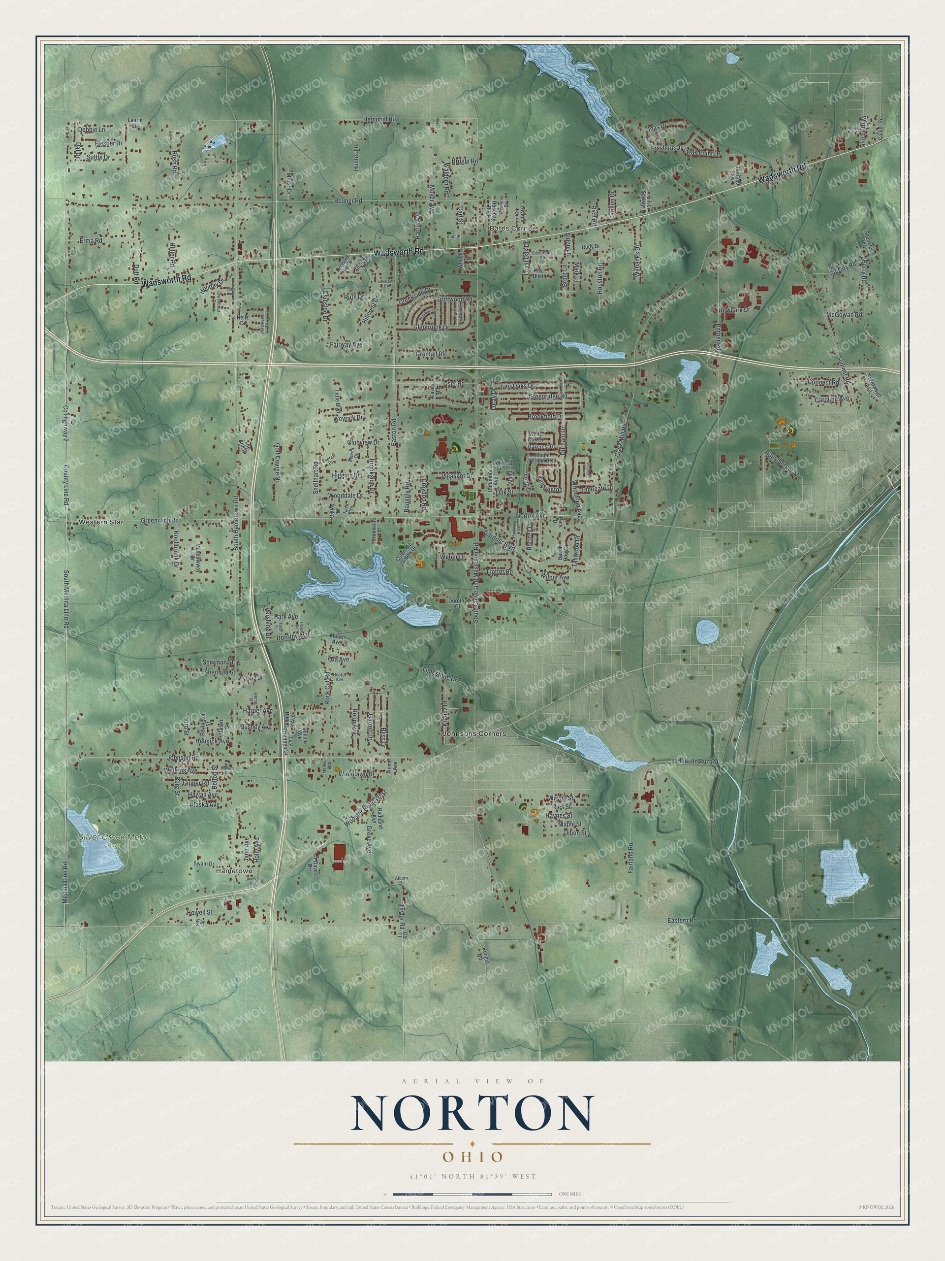
Explore Norton, Ohio from a whole new perspective. Created using aerial imagery and detailed geographic data, this map captures Norton building by building, with labeled streets, familiar landmarks, and shaded topographical relief that highlights the natural contours of the landscape.
Combining modern data with the timeless character of a vintage atlas, this map is just as interesting up close as it is beautiful on the wall. Whether you grew up in Norton, spent memorable years there, or call it home today, this unique map is a great way to celebrate a place that means something to you. Zoom in on the preview to look for your street, and then order a print to put your memories on the wall.
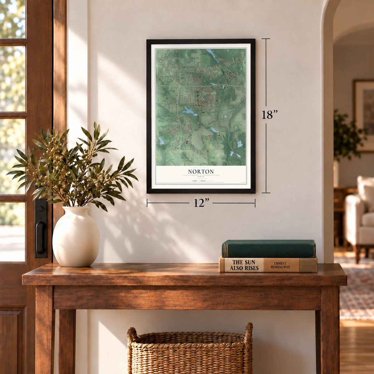
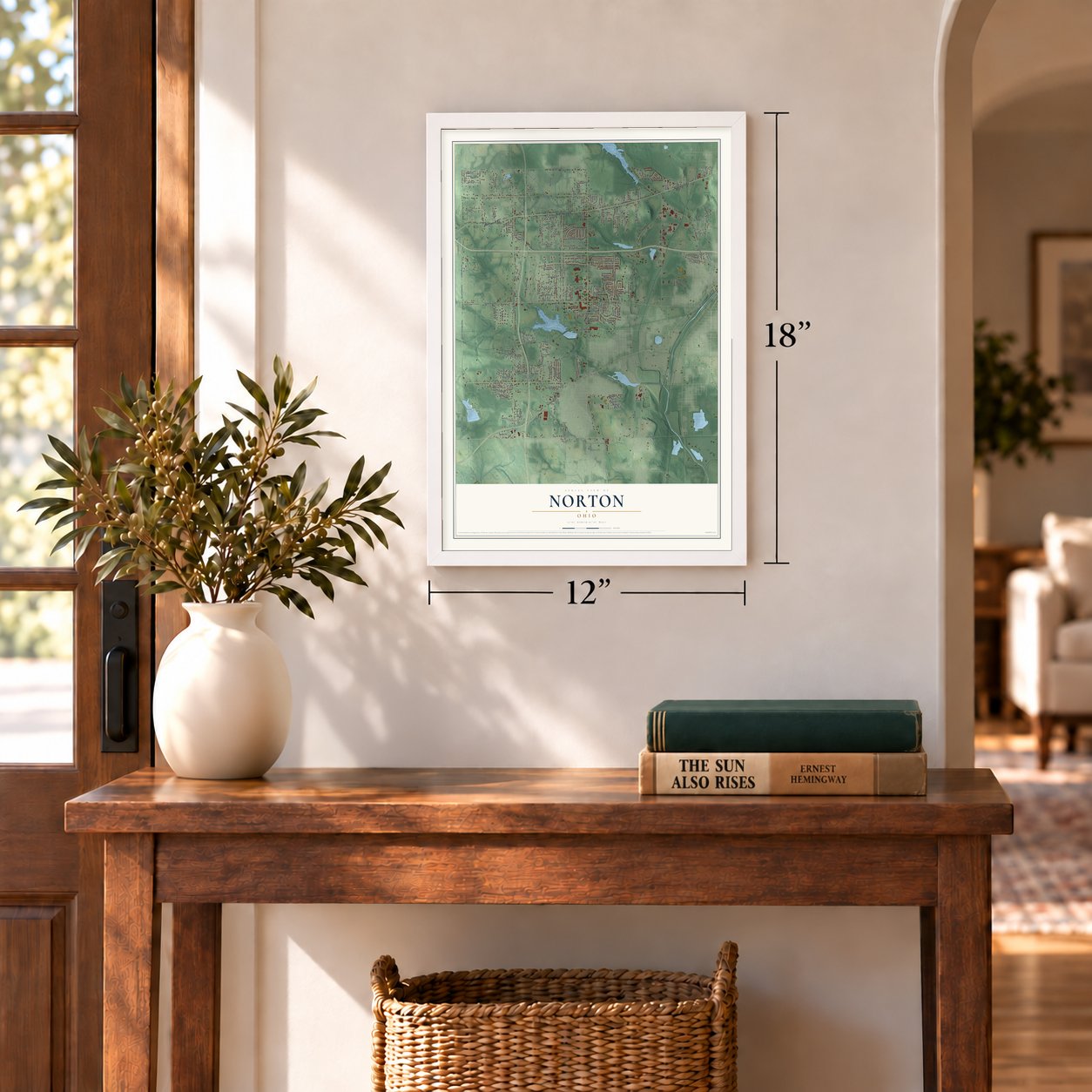
Three ways to hang it
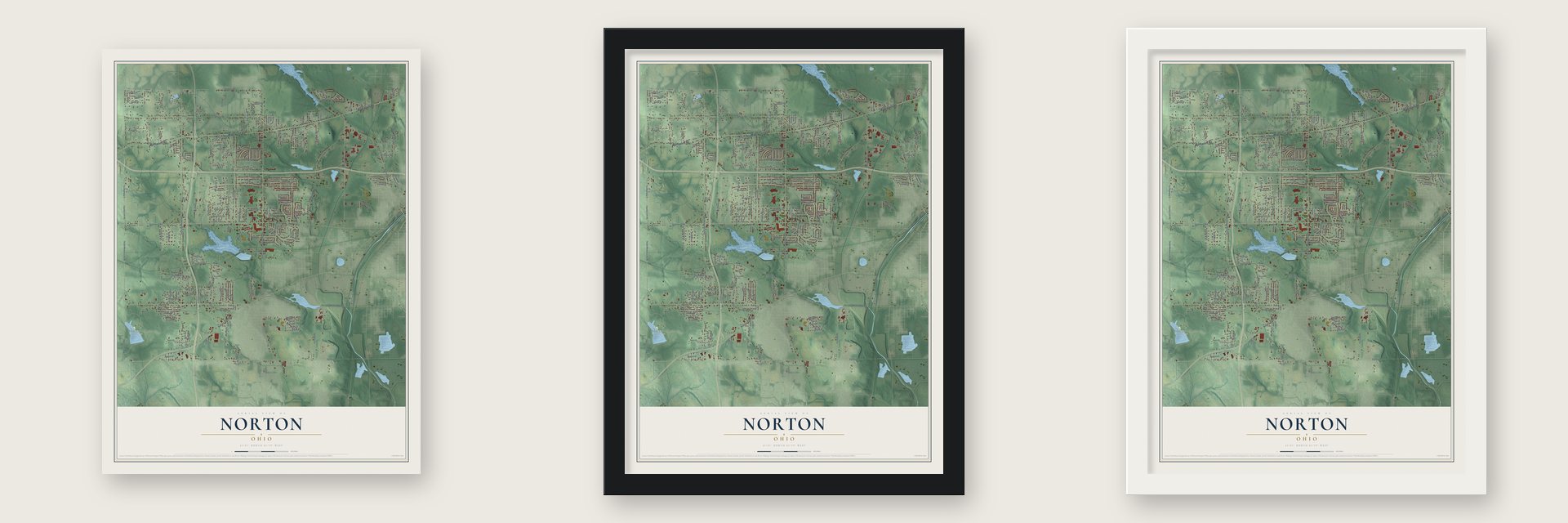
Unframed archival matte, a black wood frame or a white wood frame.
Up close
Geography Worth Displaying
This map was created using accurate cartographic data and authoritative geographic sources, including the U.S. Geological Survey and the Census Bureau. The map brings together terrain, waterways, roads, and building detail. The majority of the streets are labeled, houses are accurately depicted, and the topography is derived from government sources. Combining local data with carefully composed color and shading leads to this beautifully detailed Norton artwork for your wall.
Rather than simply showing street outlines, we’ve included as many of the street names as we could reasonably fit on the map while keeping their names legible. Zoom in on the high resolution preview to see exactly what’s on the map. We truly set out to create a statement piece for anyone who loves Norton. So whether it’s for you, or a gift for someone you love, we hope this map of Norton brings back fond memories.
Find your street
Names on the Norton map
Every name below is printed on this map. Look for your street, your school, the park where you played, or the pond down the road.
Places and landmarks5
- Bates Corners
- Hametown
- Silver Creek Metro Park
- Johnsons Corners
- Western Star
Streets and roads193
- Wadsworth Road
- South Medina Line Road
- County Highway 2
- Greenwich Road
- Wooster Road West
- County Line Road
- Norton Avenue
- Eastern Road
- Johnson Road
- Medina Line Road
- Luray Drive
- South Hametown Road
- South Cleveland Massillon Road
- Reimer Road
- Summit Road
- Shellhart Road
- Clark Mill Road
- Barber Road
- Easton Road
- Hemphill Road
- Fairland Road
- Dorothy Avenue
- Bushey Avenue
- Brookside Drive
- Gardner Boulevard
- Rock Cut Road
- Harper Avenue
- Hillcrest Drive
- Higgins Drive
- Limestone Drive
Show all 193 streets
- Fair Oaks Drive
- Greenridge Road
- Long Drive
- Glenbrook Drive
- Wooddale Drive
- Knollbrook Drive
- Berry Road
- Pleasant Drive
- Clubview Drive
- Clubside Drive
- Driftwood Road
- Maco Drive
- Houston Road
- Dutt Road
- Durham Drive
- Oser Road
- Grenfall Road
- Rush Road
- McCoy Road
- Flesher Drive
- Burg Street
- Golf Course Drive
- Roop Avenue
- Belton Street
- Weber Drive
- Erma Road
- Woodlawn Drive
- Watkins Avenue
- Garrett Drive
- Taylor Road
- Tapper Road
- Inas Drive
- Hunter Lane
- Tallwood Drive
- Bliss Drive
- Frashure Drive
- Grove Avenue
- Brookfield Drive
- Hudson Run Road
- Connect Road
- Wilbanks Drive
- Krancz Drive
- Helmick Avenue
- Woodglen Avenue
- Holiday Drive
- Moyer Avenue
- Hawaii Avenue
- Caroline Avenue
- Oak Point Drive
- Ruth Drive
- Newpark Drive
- Wayne Street
- Sheridan Street
- Weyrick Drive
- Harris Avenue
- Oak Street
- Park Avenue
- Carl Street
- Hillier Road
- Rangely Road
- Howell Street
- Jane Avenue
- Ries Street
- Croydon Road
- Holly Avenue
- Fairway Avenue
- Suttle Drive
- Debbie Lane
- Brogle Road
- Creekside Drive
- Hartzell Drive
- Union Street
- Loyal Oak Drive
- Dal Drive
- Kensington
- Maple Street
- Huntsberger Street
- Pinegate Drive
- McGowan Road
- Waldern Road
- Alaska Avenue
- Sherman Street
- Trotter Road
- Mark Lane
- Wilbur Avenue
- Brent Lane
- Pershing Drive
- Carillon Drive
- Warren Avenue
- Haynes Street
- Virn Street
- Aldon Lane
- Ora Avenue
- Rich Road
- Columbia Woods Drive
- Mount Vernon Boulevard
- Valley Drive
- Richland Avenue
- Swain Drive
- Laurie Lane
- Meadowway Drive
- Rosebay Boulevard
- Dorothy Court
- Manilla Avenue
- Givens Drive
- Beech Row Drive
- Kungle Road
- Oakcrest Drive
- White Oak Drive
- Silver Springs Drive
- Little Boulevard
- East Frontage Drive
- Bevington Street
- Hazelwood Avenue
- Orchard Drive
- Spangler Drive
- Columbia Avenue
- Landis Road
- John Street
- Orchard Hill Drive
- Collier Road
- Brookside Court
- 4-Dave's Drive
- Kay Boulevard
- Milford Street
- Whipple Drive
- Heritage Parkway
- Martin Avenue
- Albert Avenue
- Rudy Drive
- Casey Road
- Lee Ann Drive
- Home Avenue
- Julian Avenue
- Park Drive
- Neitz Drive
- Parkway Boulevard
- Nash Boulevard
- Monteray Drive
- Pikeview Drive
- Silverdale Drive
- Greenbriar Drive
- Alberta Drive
- Ray Street
- Everett Drive
- Hoctor Avenue
- Homer Street
- Melrose Avenue
- Knecht
- Alcorn Drive
- Jones Street
- Durham Road
- Watkins Road
- Foch Street
- Brooklawn Drive
- Cherrywood Drive
- Haig Street
- Newton Street
- Sue Lane
- Clara Avenue
- Lakeland Drive
- Birchbark Avenue
- Anton Street
Names are listed as they appear on the printed map. Zoom into the product photos to find them.
About Norton, Ohio
Most of Norton lies in Summit County, while a 4.4-acre district reaches into Wayne County. Home to 11,673 people in 2020, it developed from a township organized in 1818 into a village in 1961 and a city in 1969. Loyal Oak, Western Star, Johnson's Corners, and Hametown were among the township's seven villages.
- Township OriginsOrganized in 1818 and surveyed by Joseph Darrow, Norton Township was named for Birdseye Norton, one of its original owners.
- Early SettlersJames Robinson and John Cahow became the first settlers in 1810, purchasing neighboring lots 19 and 20.
- Canal and TrolleyThe Ohio and Erie Canal crossed southeastern Norton Township from 1827 to 1913, and electric trolley service arrived in 1905.
- Deep Limestone MineDuring the 1900s, the local chemical plant operated a limestone mine reaching 2,200 feet, described as the world's deepest.
- Apple Cider FestivalFirst held in 1989, Norton's annual September festival includes a parade, fireworks, crafts, and other attractions.
Keep exploring Ohio
Norton is one of 1,389 Ohio towns we've mapped. Every dot on the map is a print of its own.
The search covers every state, Ohio first.
Near Norton
Order 2 or more town maps and save 10%. Shown in the size and finish you picked above, so they hang as a set.
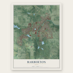
- Barberton 12" x 18" / Archival Matte Print $39.99
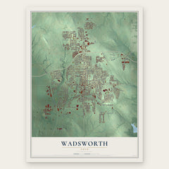
- Wadsworth 12" x 18" / Archival Matte Print $39.99
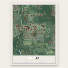
- Copley 12" x 18" / Archival Matte Print $39.99
More maps nearby: Doylestown, Portage Lakes, Pigeon Creek, New Franklin and Sharon Center.
The art of mapping a place
How This Map Was Made
Real places. Remarkable detail. Discover the layers that turn geographic data into a map of home.

The view from above
Aerial imagery reveals the character of the land: woodland, open fields, and the patterns of a place.

The shape of the land
Elevation data brings hills, valleys, and subtle changes in the landscape into view.

The details of home
Roads, waterways, and building footprints come together to make the map feel unmistakably local.

Geography becomes art
Considered color, shading, and typography bring the layers together in a map made for your wall.


Process illustrated with Mendon, Massachusetts. Aerial imagery: USDA NAIP. Terrain: USGS 3D Elevation Program. Map details and finished artwork: KNOWOL.
The Details
About This Print
Choose an archival matte print, or a black or white Ayous wood frame. The archival matte print is unframed.
Select your size and finish above to see the matching product image and price.
Materials & Craftsmanship
A contemporary map with the character of a classic atlas, printed on archival matte paper. Optional frames are made from Ayous wood.
Your printed map does not include the watermark shown in the full-map preview.
Shipping & Delivery
Free shipping within the United States. Every print is made to order in the USA.
Buying a gift? Add a note in your cart and we'll include it. We never put prices in the package.
Prints ship within 2 to 3 business days. Allow 7 to 10 days total from ordering for delivery. Timing may vary during holidays or periods of high order volume.
Read our shipping policy.
Returns and damaged prints
Each print is made to order. Change-of-mind refunds are not available after production.
If your print arrives damaged, misprinted or incorrect, contact support@knowol.com within 30 days of receiving it. Include your order number, photos and a description of the issue.
Read our full refund and replacement policy. For questions about your order, email support@knowol.com.