
Search for another town



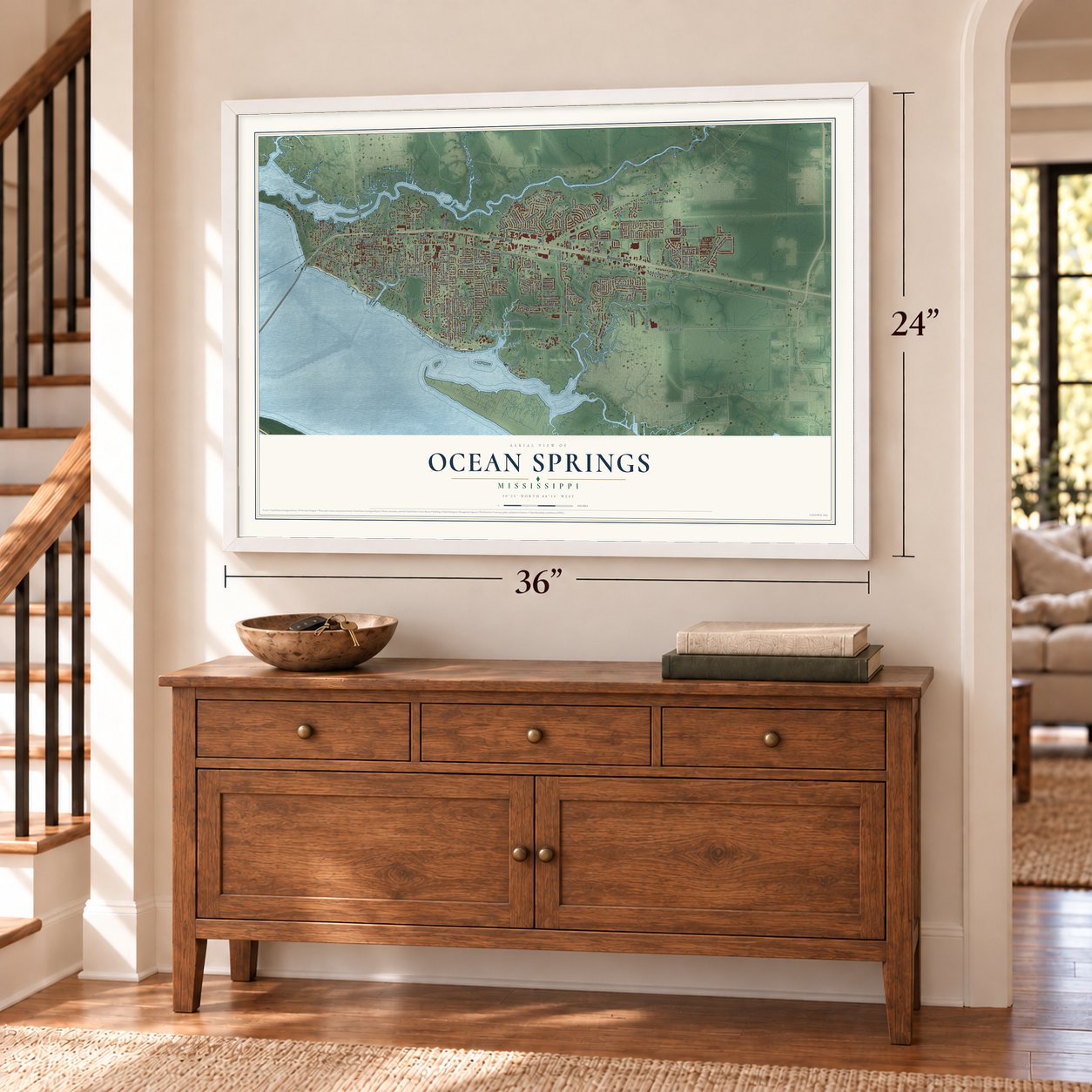

Free U.S. delivery 7 to 10 days after you order
Ocean Springs, Mississippi Map Art
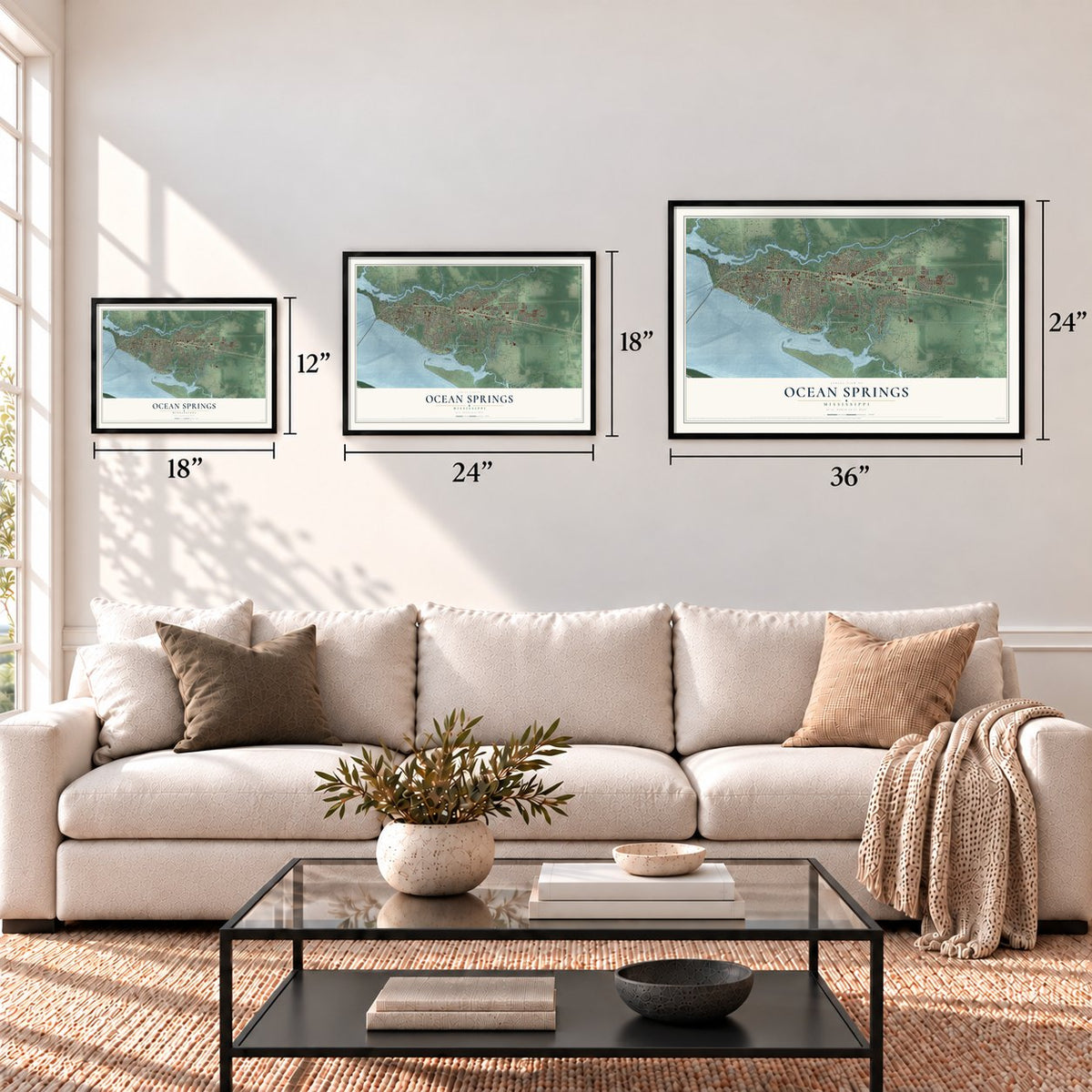
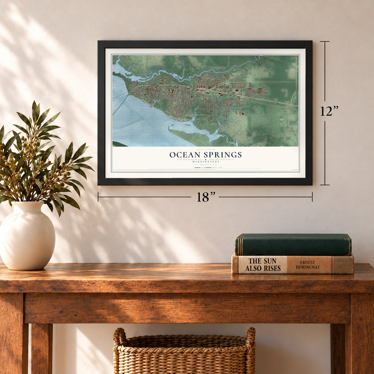
A new map of Ocean Springs, Mississippi, made in 2026 and printed to order on thick archival matte paper.
12" x 18" Archival Matte Print
A Map of Home. A Work of Art.
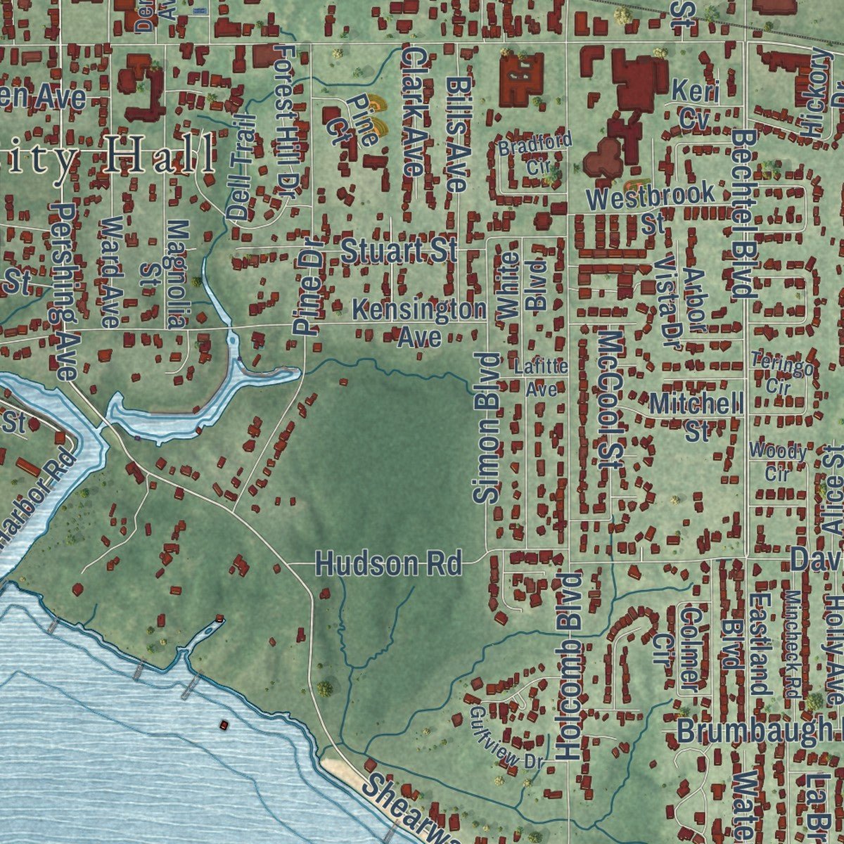
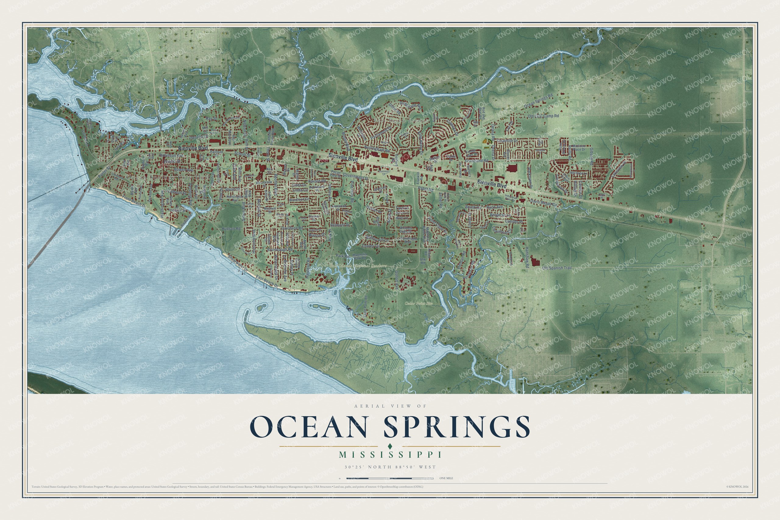
Explore Ocean Springs, Mississippi from a whole new perspective. Created using aerial imagery and detailed geographic data, this map captures Ocean Springs building by building, with labeled streets, familiar landmarks, and shaded topographical relief that highlights the natural contours of the landscape.
Combining modern data with the timeless character of a vintage atlas, this map is just as interesting up close as it is beautiful on the wall. Whether you grew up in Ocean Springs, spent memorable years there, or call it home today, this unique map is a great way to celebrate a place that means something to you. Zoom in on the preview to look for your street, and then order a print to put your memories on the wall.
Three ways to hang it
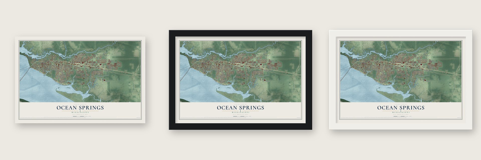
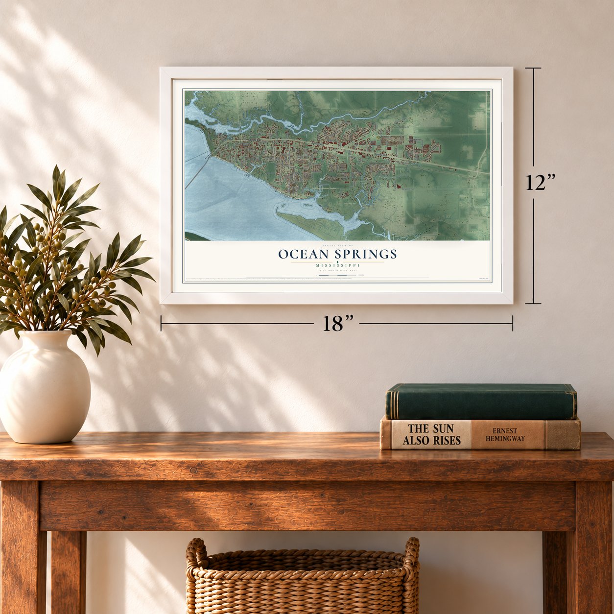
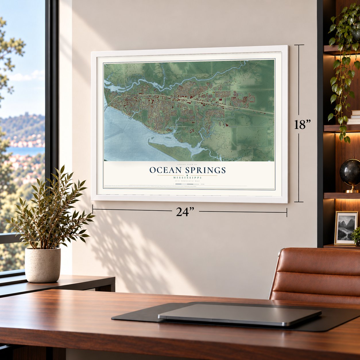
Unframed archival matte, a black wood frame or a white wood frame.
Up close
Geography Worth Displaying
This map was created using accurate cartographic data and authoritative geographic sources, including the U.S. Geological Survey and the Census Bureau. The map brings together terrain, waterways, roads, and building detail. The majority of the streets are labeled, houses are accurately depicted, and the topography is derived from government sources. Combining local data with carefully composed color and shading leads to this beautifully detailed Ocean Springs artwork for your wall.
Rather than simply showing street outlines, we’ve included as many of the street names as we could reasonably fit on the map while keeping their names legible. Zoom in on the high resolution preview to see exactly what’s on the map. We truly set out to create a statement piece for anyone who loves Ocean Springs. So whether it’s for you, or a gift for someone you love, we hope this map of Ocean Springs brings back fond memories.
Read the story behind this map of Ocean Springs, Mississippi from 2026.

About Ocean Springs, Mississippi
Ocean Springs is a city of 18,429 people in Jackson County, on the Bay of Biloxi and the Gulf of Mexico. In April 1699 Pierre Le Moyne d'Iberville began Fort Maurepas here under King Louis XIV, giving France its first lasting outpost in Louisiana and a foothold against Spain. His commandant, Jean de Sauvole, built the fort and formed ties with the Biloxi and other tribes.
When the first post office opened in 1853, the place was briefly called Lynchburg Springs. In 1854 Dr. William Glover Austin named it Ocean Springs because he believed its springs could heal. By 1900 the town had 1,255 people and a station on the Louisville & Nashville Railroad, 84 miles from New Orleans, and visitors came in both winter and summer for its mineral springs and sea bathing.
- Walter Anderson's hometownWalter Anderson, born in 1903, became the great creative force of Ocean Springs. His family started Shearwater Pottery here in the 1920s, and he often rowed a skiff a dozen miles out to empty Horn Island to paint its landscapes and wildlife. The Walter Anderson Museum, opened in 1991, holds many of his works, among them wall murals from the 1950s.
- Peter Anderson Festival since 1978Local artist Klara Koock took the idea for a festival to the Chamber of Commerce, and the first one was held in 1978. It still comes every year on the first weekend of November, honoring the potter Peter Anderson and the town's whole arts community.
- Bridges across Biloxi BayThe War Memorial Bridge first linked Biloxi and Ocean Springs on June 3, 1930. Its 1962 replacement survived damage from Hurricane Camille in 1969, but on August 29, 2005, Hurricane Katrina's 28-foot storm surge knocked it down, along with the yacht club and the wooden copy of Fort Maurepas. Two lanes of a six-lane bridge, 95 feet high at its main span, opened on November 1, 2007, and work finished in April 2008.
- Wool, turpentine and a weekly paperAround 1900 the farms near town grew truck crops and raised sheep, and Ocean Springs became a large wool market with a big turpentine business. A. E. Lee edited and published the town's Democratic weekly, The Ocean Springs, which was founded in 1897.
Find your street
Names on the Ocean Springs map
Every name below is printed on this map. Look for your street, your school, the park where you played, or the pond down the road.
Places and landmarks4
- Ocean Springs City Hall
- Fort Bayou Estates
- Cedar Point Site
- Gulf Islands National Seashore
Streets and roads190
- Bienville Boulevard
- Front Beach Drive
- Dunsinane Avenue
- Park Road
- Government Street
- Shearwater Drive
- Pershing Avenue
- Bechtel Boulevard
- Lakeview Drive
- Lovers Lane
- Gollott Avenue
- Ocean Springs Road
- Groveland Road
- Holcomb Boulevard
- East Beach Drive
- Porter Street
- Halstead Road
- Reilly Road
- Hanley Road
- Old Spanish Trail
- Pabst Road
- Nottingham Road
- Hanshaw Road
- Washington Avenue
- Iberville Drive
- Brumbaugh Road
- Old CCC Camp Road
- Deena Drive
- Pine Drive
- Parktown Drive
Show all 190 streets
- Diller Road
- Davidson Road
- Yosemite Drive
- Gibson Road
- Hunter Drive
- Conley Circle
- Perryman Road
- School Street
- Linda Circle
- Davis Bayou Circle
- Booth Circle
- Linnet Drive
- Dijon Avenue
- Bergerac Lane
- Calhoun Street
- Simon Boulevard
- Cabildo Place
- Hudson Road
- Bristol Boulevard
- Stuart Street
- Desoto Street
- Bills Avenue
- La Branche Avenue
- Bowen Avenue
- Watersedge Drive
- Breezy Hill Lane
- Nelson Drive
- King Henry Drive
- Pine Hills Road
- Ashley Place
- Point Clear Drive
- Chaumont Circle
- Trentwood Drive
- Parliament Drive
- Culeoka Drive
- Robinson Avenue
- McCool Street
- Zettel Road
- Pittman Road
- Havard Road
- Belmont Drive
- Iola Road
- Deana Road
- Walton Drive
- Clark Avenue
- Lori Drive
- Carolyn Drive
- Linda Drive
- Hilltop Drive
- Thorn Street
- North Street
- Park Place
- Tara Lane
- Ray Street
- Harbor Road
- Ward Avenue
- Madison Place Drive
- Magnolia Bayou Boulevard
- Kensington Avenue
- Magnolia Park Road
- Jackson Avenue
- Woodland Circle
- Forest Hill Drive
- White Boulevard
- Palm Breeze Drive
- Magnolia Street
- La Fontaine Street
- Dewey Avenue
- Rayburn Avenue
- Martin Avenue
- Station Drive
- Heritage Lane
- Eagle Point Road
- Bryant Street
- Wellington Lane
- Timber Lake Drive
- Westbrook Street
- Parkwood Place
- Rue Maurepas
- Hickory Drive
- Eastland Boulevard
- Rod and Reel Road
- Holly Avenue
- Promenade Boulevard
- Arbor Vista Drive
- Camellia Pointe Boulevard
- Colmer Circle
- Doctor's Drive
- Glacier Avenue
- Lawnwood Drive
- Johnson Drive
- Whitney Oaks Drive
- Pevey Street
- Cox Avenue
- Mitchell Street
- Byrd Drive
- Alice Street
- Railroad Street
- Dell Trail
- Walnut Drive
- Pine Court
- Connor Drive
- Miles Lane
- Sandy Drive
- Guilford Road
- Pecan Park Street
- Knapp Road
- Sunset Avenue
- Franklin Road
- Myrtle Avenue
- Cove Avenue
- East Drive
- Keri Cv
- Sioux Drive
- First Avenue
- Vfw Road
- Mill Circle
- Ute Court
- Cleveland Avenue
- Seaside Drive
- Reynolds Circle
- Whispering Pines Drive
- Industrial Park Circle
- Spanish Point Court
- Rue Maupesant
- English Drive
- Oakleigh Road
- Shiloh Circle
- Heron Park Place
- Canebreak Drive
- Ruskin Avenue
- Timothy Lane
- Reeves Lane
- Pimlico Drive
- Denny Avenue
- Fort Street
- Penny Court
- Ames Avenue
- Capri Place
- Shadow Wood Drive
- Whisperwood Lane
- Halstead Bayou Drive
- Blue Heron Boulevard
- Woody Circle
- Chicopee Trce
- Bradford Circle
- Mincheck Road
- Seymour Avenue
- Gulfview Drive
- Teringo Circle
- Sussex Drive
- Twin Oaks Drive
- Carlsbad Place
- Steelman Lane
- Lafitte Avenue
- De la Rose Place
- Chaney Street
- Lacroux Court
- Royal Drive
- Bluff Cv
Names are listed as they appear on the printed map. Zoom into the product photos to find them.
The art of mapping a place
How This Map Was Made
Real places. Remarkable detail. Discover the layers that turn geographic data into a map of home.

The view from above
Aerial imagery reveals the character of the land: woodland, open fields, and the patterns of a place.

The shape of the land
Elevation data brings hills, valleys, and subtle changes in the landscape into view.

The details of home
Roads, waterways, and building footprints come together to make the map feel unmistakably local.

Geography becomes art
Considered color, shading, and typography bring the layers together in a map made for your wall.


Process illustrated with Mendon, Massachusetts. Aerial imagery: USDA NAIP. Terrain: USGS 3D Elevation Program. Map details and finished artwork: KNOWOL.
The Details
About This Print
Choose an archival matte print, or a black or white Ayous wood frame. The archival matte print is unframed.
Select your size and finish above to see the matching product image and price.
Materials & Craftsmanship
A contemporary map with the character of a classic atlas, printed on archival matte paper. Optional frames are made from Ayous wood.
Your printed map does not include the watermark shown in the full-map preview.
Shipping & Delivery
Free shipping within the United States. Every print is made to order in the USA.
Buying a gift? Add a note in your cart and we'll include it. We never put prices in the package.
Prints ship within 2 to 3 business days. Allow 7 to 10 days total from ordering for delivery. Timing may vary during holidays or periods of high order volume.
Read our shipping policy.
Returns and damaged prints
Each print is made to order. Change-of-mind refunds are not available after production.
If your print arrives damaged, misprinted or incorrect, contact support@knowol.com within 30 days of receiving it. Include your order number, photos and a description of the issue.
Read our full refund and replacement policy. For questions about your order, email support@knowol.com.
Find your town
Looking for another city?
Find a map of home in our Mississippi collection, or any town in the country.
Nearby
Maps of towns near Ocean Springs
Know someone from one of these towns? Their map makes a great gift.
 Gulf Hills
, Mississippi
From $39.99See the map
 Gulf Park Estates
, Mississippi
From $39.99See the map
 St. Martin
, Mississippi
From $39.99See the map
More maps nearby: Latimer, D'Iberville, Gautier, Biloxi and Vancleave.