
Search for another town


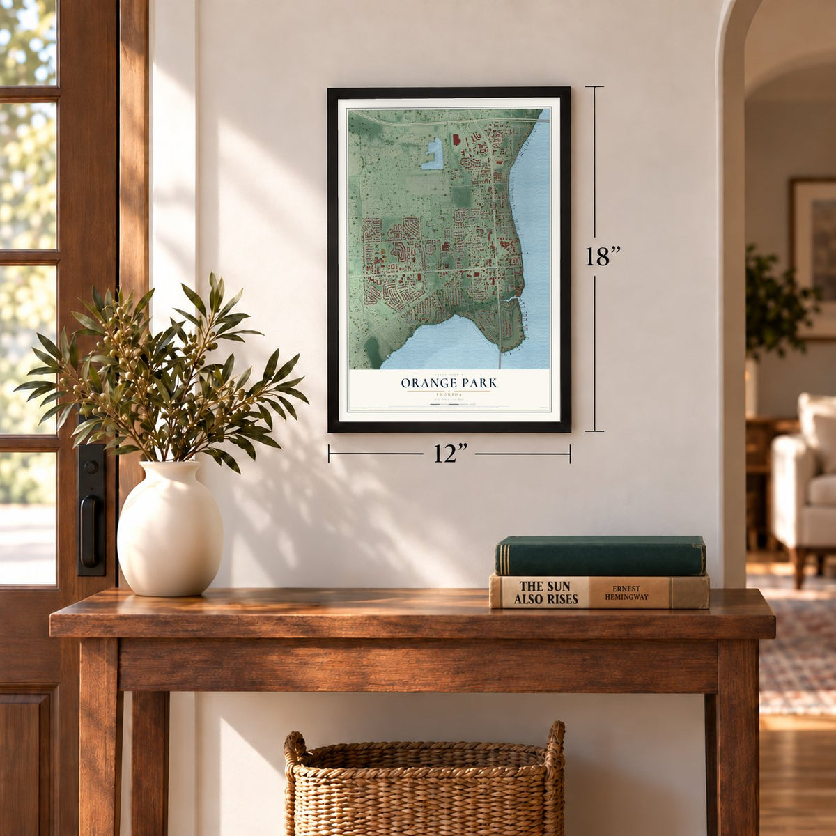
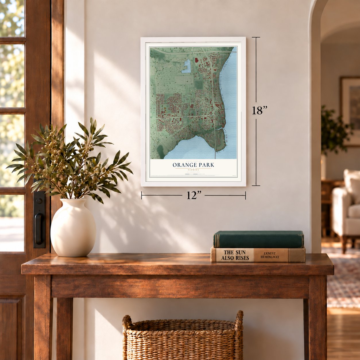

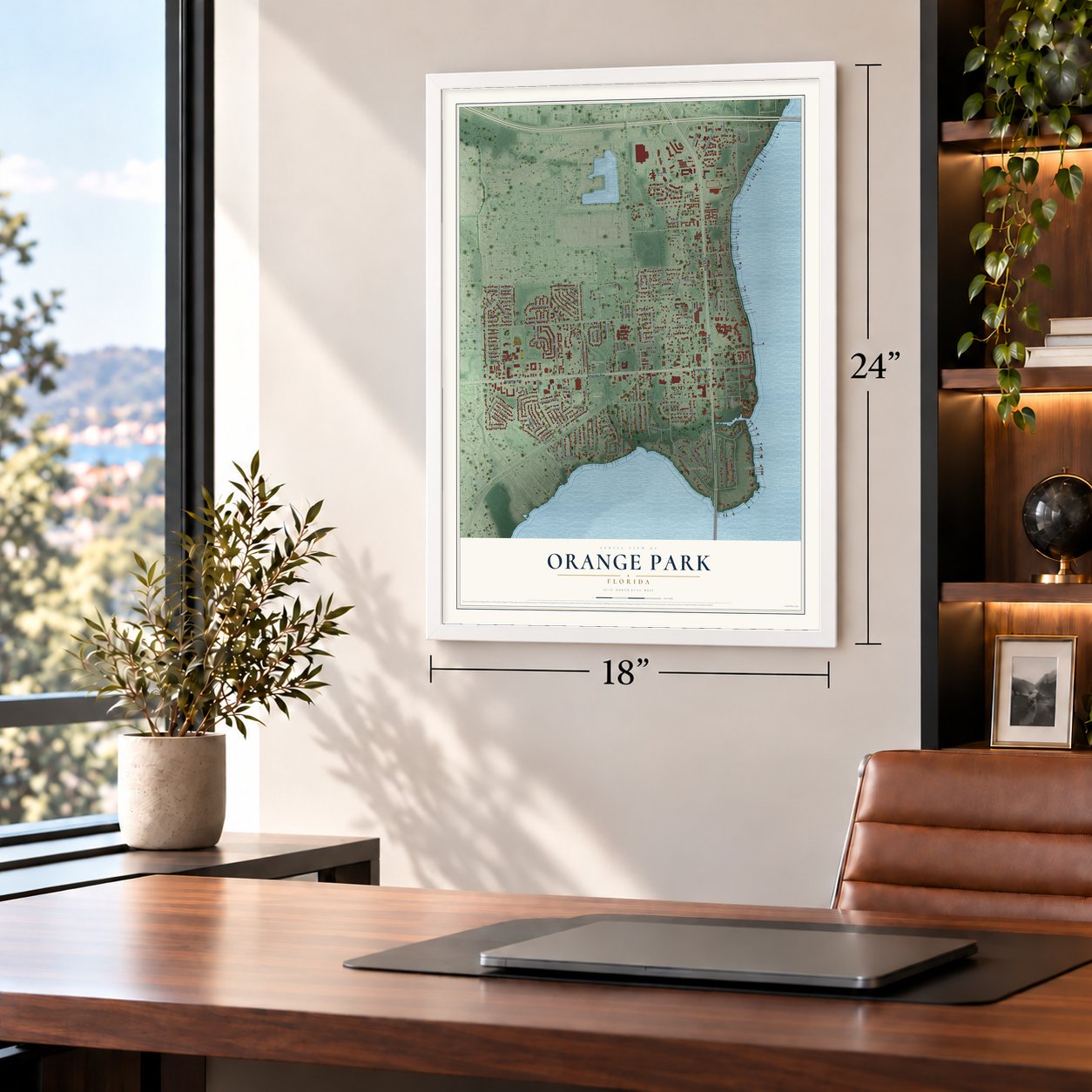

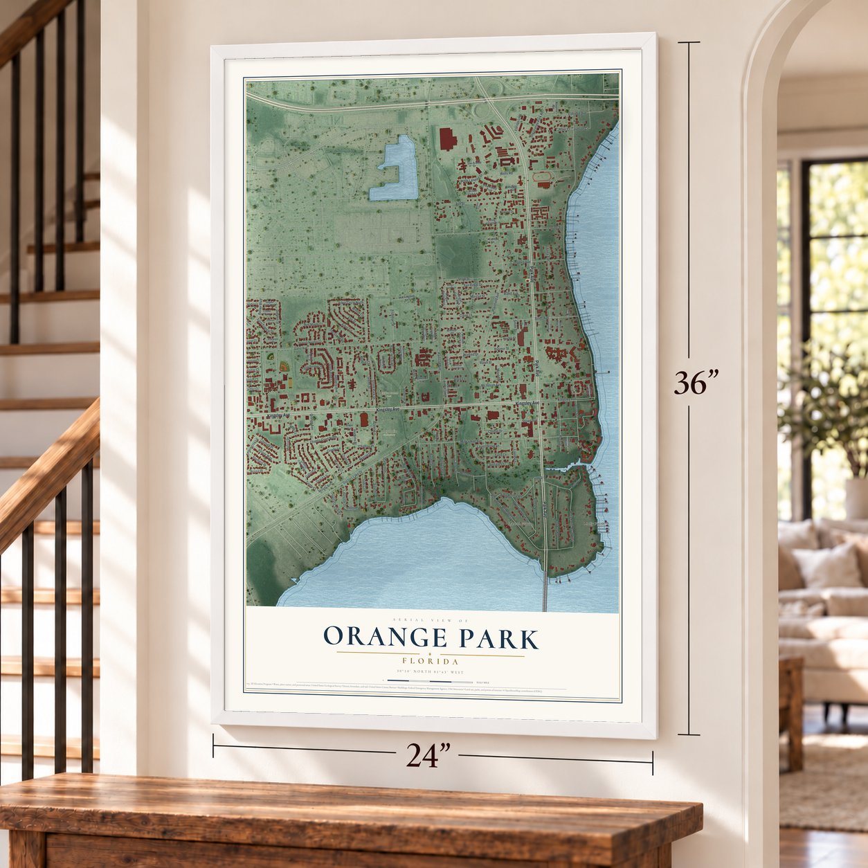

Free U.S. delivery 7 to 10 days after you order
Orange Park, Florida Map Art
A new map of Orange Park, Florida, made in 2026 and printed to order on thick archival matte paper.
12" x 18" Archival Matte Print
A Map of Home. A Work of Art.
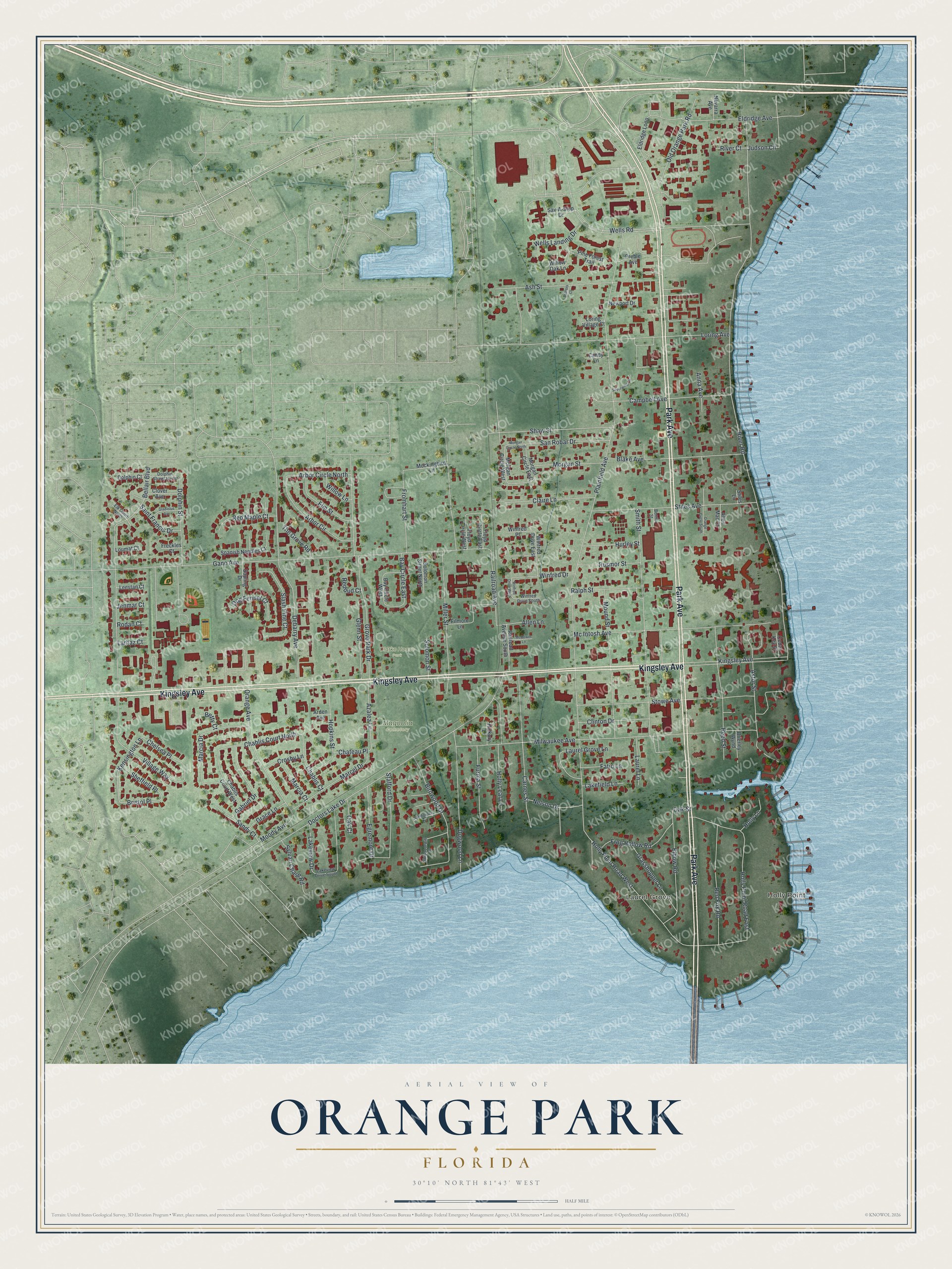
Explore Orange Park, Florida from a whole new perspective. Created using aerial imagery and detailed geographic data, this map captures Orange Park building by building, with labeled streets, familiar landmarks, and shaded topographical relief that highlights the natural contours of the landscape.
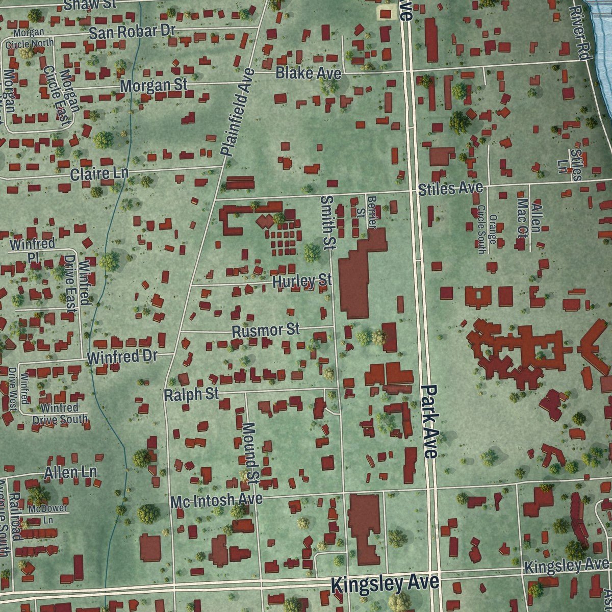
Combining modern data with the timeless character of a vintage atlas, this map is just as interesting up close as it is beautiful on the wall. Whether you grew up in Orange Park, spent memorable years there, or call it home today, this unique map is a great way to celebrate a place that means something to you. Zoom in on the preview to look for your street, and then order a print to put your memories on the wall.
Three ways to hang it
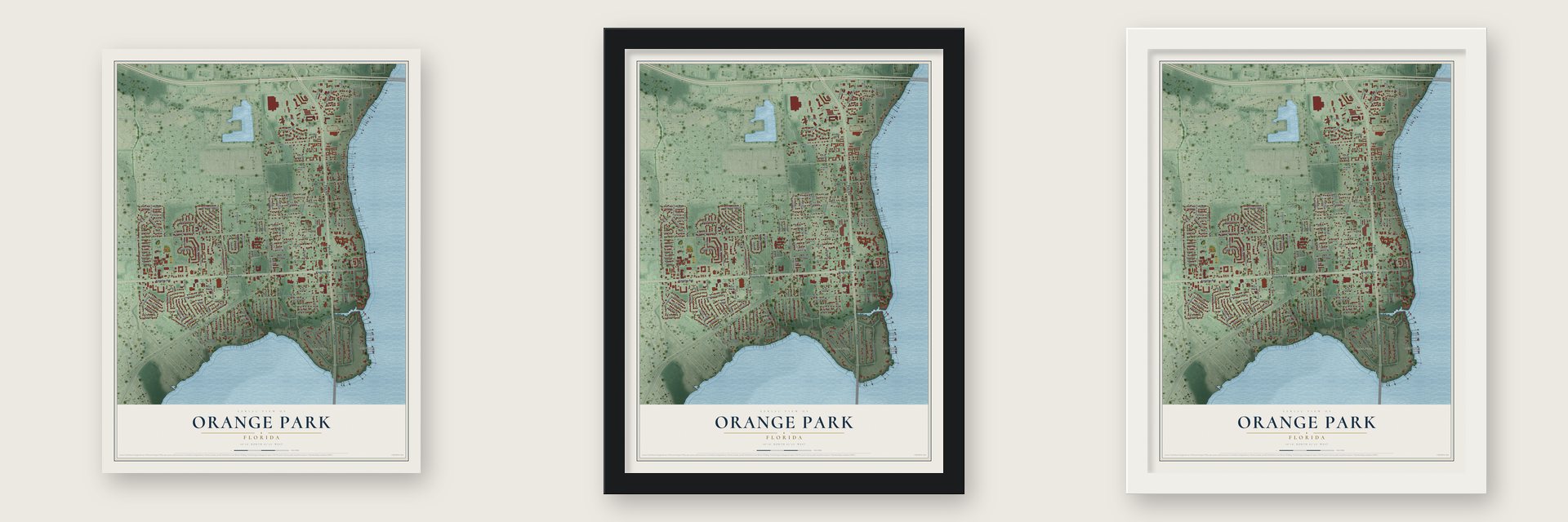
Unframed archival matte, a black wood frame or a white wood frame.
Up close
Geography Worth Displaying
This map was created using accurate cartographic data and authoritative geographic sources, including the U.S. Geological Survey (USGS) and FEMA. The map brings together terrain, waterways, roads, and building detail. The majority of the streets are labeled, houses are accurately depicted, and the topography is derived from government sources. Combining local data with carefully composed color and shading leads to this beautifully detailed Orange Park artwork for your wall.
Rather than simply showing street outlines, we’ve included as many of the street names as we could reasonably fit on the map while keeping their names legible. Zoom in on the high resolution preview to see exactly what’s on the map. We truly set out to create a statement piece for anyone who loves Orange Park. So whether it’s for you, or a gift for someone you love, we hope this map of Orange Park brings back fond memories.
Explore the full map of Orange Park, Florida and read about the local places it shows.

About Orange Park, Florida
Orange Park is a town of 9,089 people on the St. Johns River, just south of Jacksonville, at the northeast edge of Clay County. In the late 18th century the land was called Laurel Grove, after Sarah and William Pengree, who held a grant from the Spanish governor. When William died, Zephaniah Kingsley bought it and ran it as a farming plantation worked by more than a hundred enslaved people.
After the Civil War, the Florida Winter Home and Improvement Company bought several thousand acres of the old McIntosh plantation at Laurel Grove and founded Orange Park in 1877 as a southern retreat with small farms. It cut the land into house lots and farm tracts, laying out streets such as Kingsley and Plainfield Avenues, and a special act of the Florida Legislature incorporated the town in 1879. The founders chose the name because they hoped to grow fruit, but a hard freeze in the winter of 1894 and 1895 ruined the crops, and they never came back to Orange Park.
- Anna Kingsley's fire, 1813General Mathews invaded East Florida in 1813, starting the Patriots' Rebellion. Once Mathews had gone, Zephaniah Kingsley's wife burned Laurel Grove so the Patriots could not take it. She was Anna Madgigine Jai Kingsley, a West African woman he had freed in 1811.
- Grant and Sheridan in 1880Ulysses S. Grant and Philip Sheridan came to see the young winter town in January 1880. A large hotel went up on Kingsley Avenue, with a 1,200-foot pier on the river.
- One school for all, 1891The American Missionary Association started the Orange Park Normal and Industrial School in October 1891. It taught Black and white students side by side, the only school in Florida doing so at the time. A state law in 1895 banned teaching the two races together, and the school appealed and won, yet it closed in 1913. The town hall and police station now stand on its grounds, and a historical marker went up there in 2017.
- Moosehaven since 1922The Loyal Order of Moose, a fraternal group, purchased the old Hotel Marion in downtown Orange Park in 1922 and turned it into Moosehaven, a 63-acre retirement community open only to its senior members. A few blocks away, Orange Park Elementary School has held classes since it was built in 1927, in the River Road Historic District along the St. Johns River, where century-old trees line the road.
- A primate lab, 1930 to 1965Robert Yerkes set up a research station here in 1930 to study the biology and behavior of primates, with backing from the Carnegie Foundation, the Rockefeller Foundation and Yale University. First named the Yale Laboratories for Primate Biology, it took Yerkes's name after he retired in 1941. Emory University took ownership in 1956 and moved the laboratory to its Georgia campus in 1965, where it became the Yerkes National Primate Research Center.
Find your street
Names on the Orange Park map
Every name below is printed on this map. Look for your street, your school, the park where you played, or the pond down the road.
Places and landmarks4
- Holly Point
- Laurel Grove
- Clarke House Park
- Magnolia Cemetery
Streets and roads149
- Park Avenue
- Kingsley Avenue
- Village Way
- Bellair Boulevard
- Kensington Lane
- Chelsea Place
- Doctors Lake Drive
- Bristol Place
- Railroad Avenue
- Stafford Drive
- Chablis Court North
- Plainfield Avenue
- River Road
- Gano Avenue
- Wells Road
- Milwaukee Avenue
- Loring Avenue
- Smith Street
- Debarry Avenue
- Holly Point Road East
- Grove Park Drive
- Miller Street
- Mc Intosh Avenue
- Eldridge Avenue
- Stowe Avenue
- Astor Street
- Stiles Avenue
- Hopkins Street
- Holly Point Road West
- Carnes Street
Show all 149 streets
- Mound Street
- Orange Avenue
- Dogwood Lane
- Blake Avenue
- Birdwood Drive
- Reed Street
- Shaw Street
- Marcia Drive
- Elbow Road
- Red Fox Road
- Campbell Avenue
- Ash Street
- Holly Leaf Lane
- Old Orange Park Road
- Arbor Circle
- Marcel Drive
- Slash Pine Court
- Fromhart Street
- Dolphin Street
- Gabriel Drive
- Claire Lane
- Furma Street
- Frog Hollow Road
- Laurel Grove Lane
- Nelson Drive
- San Robar Drive
- Grasshopper Lane
- Morgan Street
- Elm Street
- Egremont Drive
- Ralph Street
- Clinton Drive
- Azalea Lane
- Glenn Street
- Wells Landing Drive
- Arbor Circle North
- Sylvan Chase Road
- Red Maple Court
- Chablis Court
- Winfred Drive
- Rusmor Street
- Judson Circle
- Sheffield Place
- Hurley Street
- Sandy Court
- Dog Fennel Court
- Bay Circle East
- Saint Francis Drive
- Lakeview Drive
- Laurel Lane
- Marcia Court
- Grace Lane
- The Grove Road
- Moody Avenue
- Crosby Lane
- Lakefield Lane
- Fatio Lane
- Solomon Street
- Holly Lane
- Willow Lane
- Anna Avenue
- Chateau Place
- Allen Lane
- Oak Court
- River Court
- Redbud Court
- Rodan Court
- Larhaz Court
- Jenmar Court
- Betty Court
- Oak Street
- Bay Circle West
- Eldridge Loop
- Filmore Lane
- Chablis Court West
- Spanish Needles Court
- Railroad Avenue South
- Sapling Drive
- Pine Forest Trail
- Winfred Drive East
- Solomon Street North
- Morgan Circle East
- Morgan Circle West
- Floyd Circle East
- Floyd Circle West
- Clover Avenue
- Brierley Wynd
- Mockingbird Lane
- Willow Oak Lane
- Dolphin Court
- Sav-A-Stop Drive
- Newport Drive
- Leestan Court
- Allen Mac Court
- Winfred Place
- Navarra Avenue
- Cedar Key Court
- Loumat Court
- Preble Avenue
- Loring Village Court
- Hickory Lane
- Candy Lane
- Freckles Court
- Arden Avenue
- Stiles Lane
- Lakeview Drive South
- Whippoorwill Lane
- Dolphin Street North
- Sandpiper Lane
- Winfred Drive South
- Elk Court North
- Berrier Street
- Winfred Drive West
- Orange Circle South
- Gladiolus Avenue
- Silverwing Circle
- McDower Lane
- Morgan Circle North
- Settlers Court
Names are listed as they appear on the printed map. Zoom into the product photos to find them.
The art of mapping a place
How This Map Was Made
Real places. Remarkable detail. Discover the layers that turn geographic data into a map of home.

The view from above
Aerial imagery reveals the character of the land: woodland, open fields, and the patterns of a place.

The shape of the land
Elevation data brings hills, valleys, and subtle changes in the landscape into view.

The details of home
Roads, waterways, and building footprints come together to make the map feel unmistakably local.

Geography becomes art
Considered color, shading, and typography bring the layers together in a map made for your wall.


Process illustrated with Mendon, Massachusetts. Aerial imagery: USDA NAIP. Terrain: USGS 3D Elevation Program. Map details and finished artwork: KNOWOL.
The Details
About This Print
Choose an archival matte print, or a black or white Ayous wood frame. The archival matte print is unframed.
Select your size and finish above to see the matching product image and price.
Materials & Craftsmanship
A contemporary map with the character of a classic atlas, printed on archival matte paper. Optional frames are made from Ayous wood.
Your printed map does not include the watermark shown in the full-map preview.
Shipping & Delivery
Free shipping within the United States. Every print is made to order in the USA.
Buying a gift? Add a note in your cart and we'll include it. We never put prices in the package.
Prints ship within 2 to 3 business days. Allow 7 to 10 days total from ordering for delivery. Timing may vary during holidays or periods of high order volume.
Read our shipping policy.
Returns and damaged prints
Each print is made to order. Change-of-mind refunds are not available after production.
If your print arrives damaged, misprinted or incorrect, contact support@knowol.com within 30 days of receiving it. Include your order number, photos and a description of the issue.
Read our full refund and replacement policy. For questions about your order, email support@knowol.com.
Find your town
Looking for another city?
Find a map of home in our Florida collection, or any town in the country.
Nearby
Maps of towns near Orange Park
Know someone from one of these towns? Their map makes a great gift.
 Bellair-Meadowbrook Terrace
, Florida
From $39.99See the map
 Mandarin
, Florida
From $39.99See the map
 Lakeside
, Florida
From $39.99See the map
More maps nearby: Fleming Island, Fruit Cove, Rideout, Oakleaf Plantation and Asbury Lake.