
Search for another town



Free U.S. delivery 7 to 10 days after you order
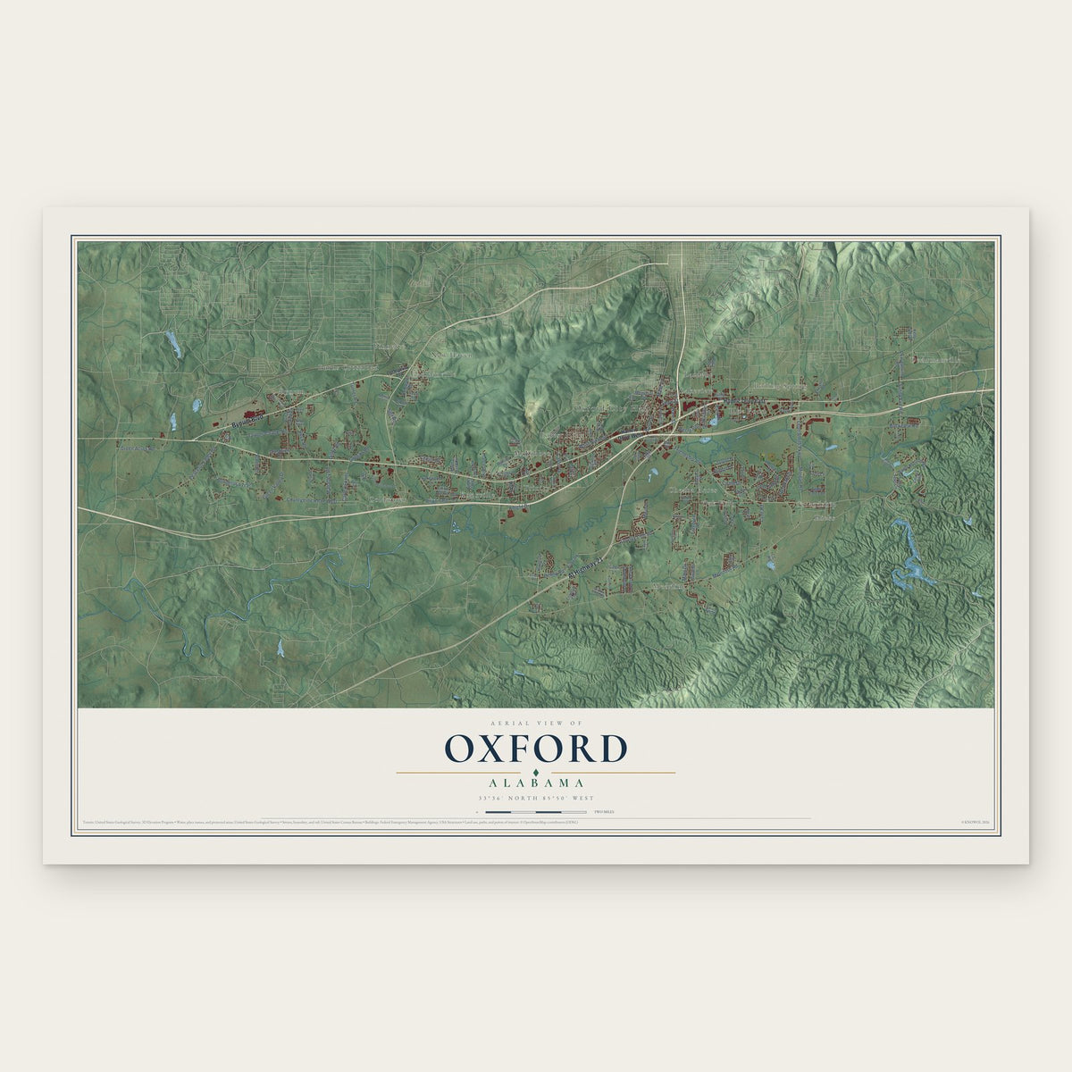
Oxford, Alabama Map Art
A new map of Oxford, Alabama, made in 2026 and printed to order on thick archival matte paper.
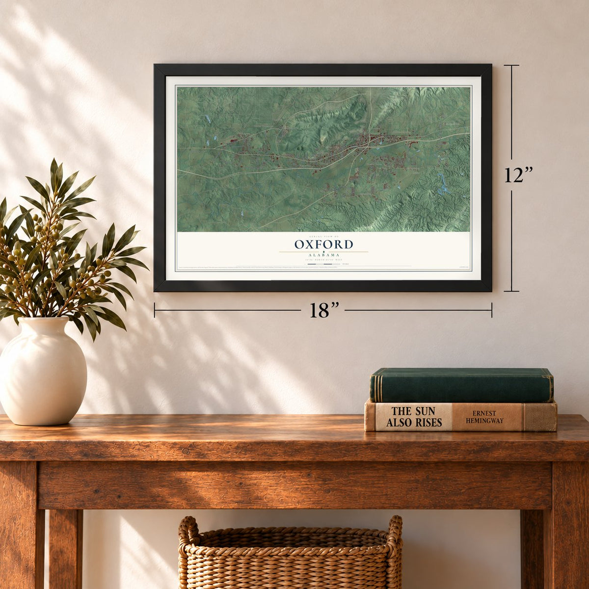
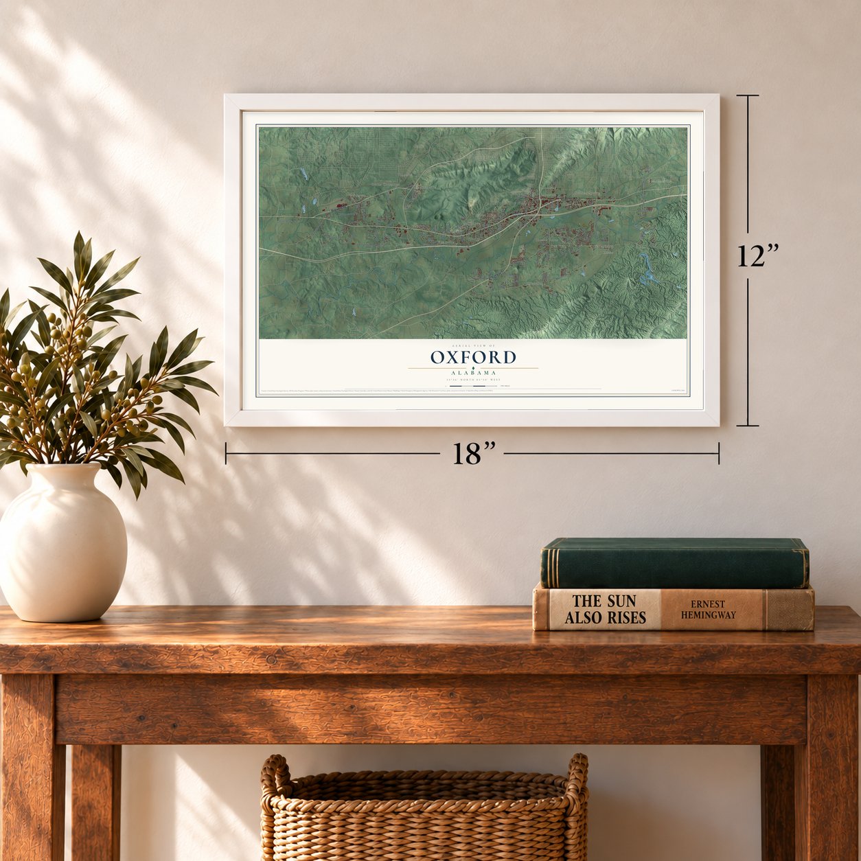
12" x 18" Archival Matte Print
A Map of Home. A Work of Art.
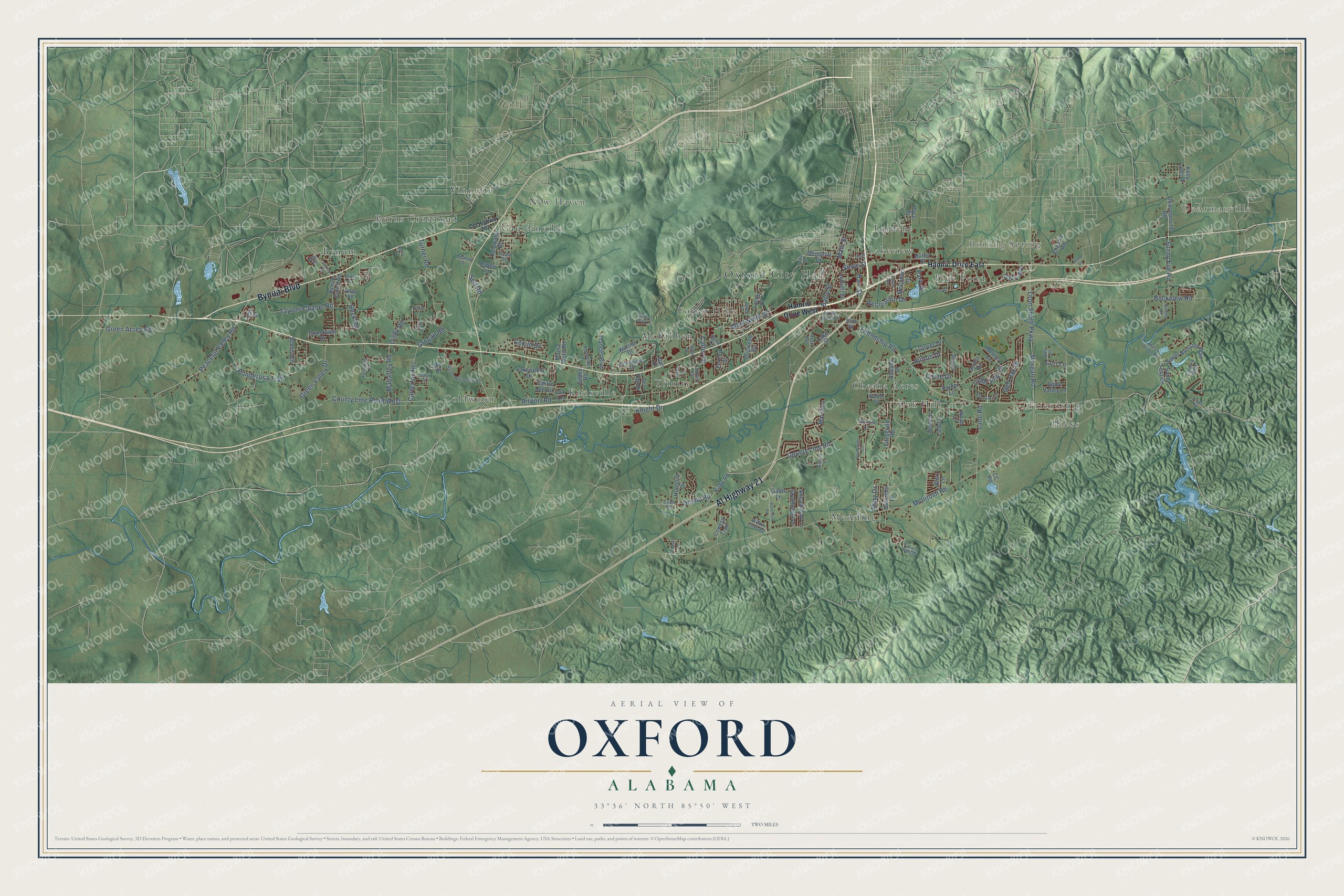
Explore Oxford, Alabama from a whole new perspective. Created using aerial imagery and detailed geographic data, this map captures Oxford building by building, with labeled streets, familiar landmarks, and shaded topographical relief that highlights the natural contours of the landscape.
Combining modern data with the timeless character of a vintage atlas, this map is just as interesting up close as it is beautiful on the wall. Whether you grew up in Oxford, spent memorable years there, or call it home today, this unique map is a great way to celebrate a place that means something to you. Zoom in on the preview to look for your street, and then order a print to put your memories on the wall.
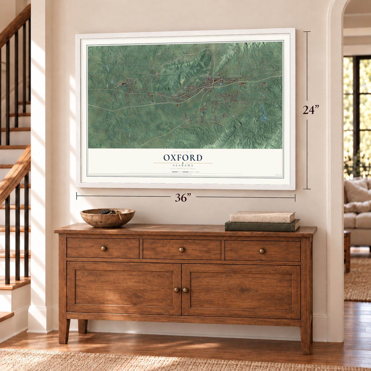
Three ways to hang it
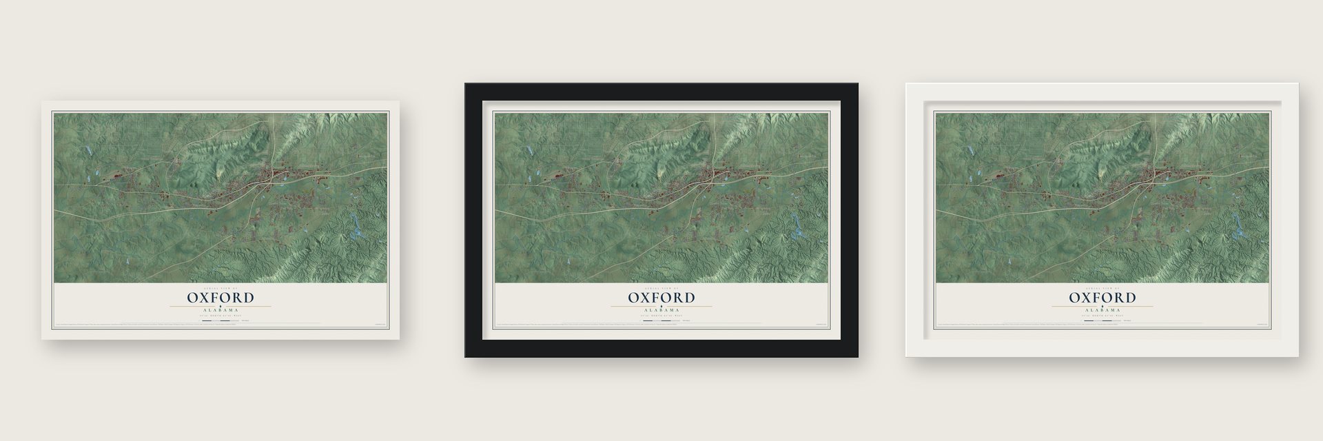
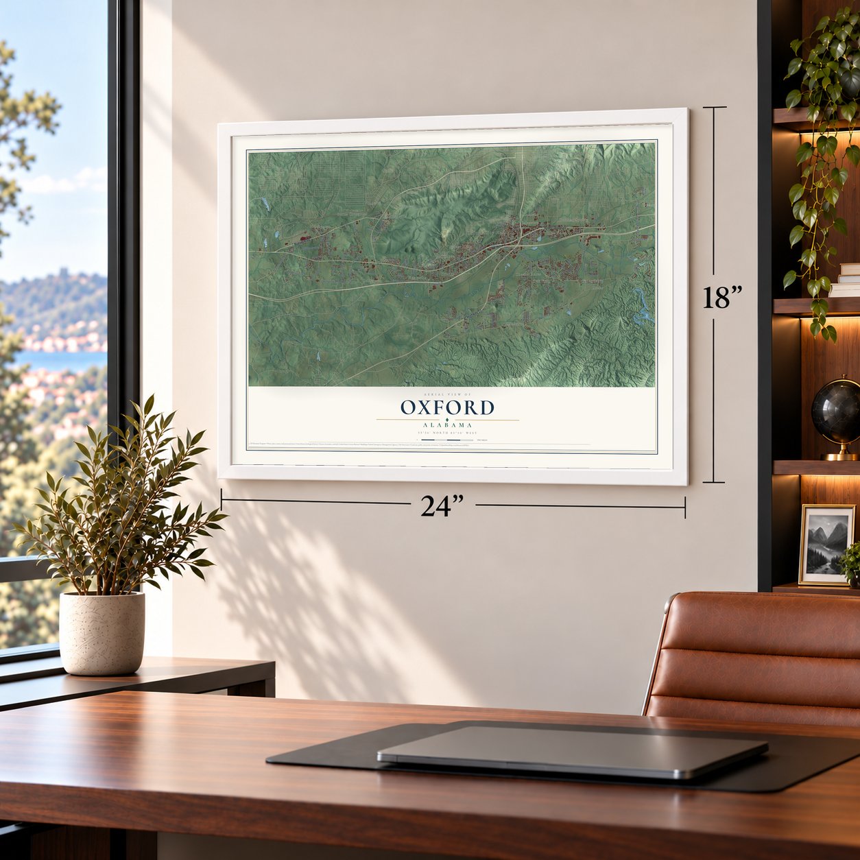
Unframed archival matte, a black wood frame or a white wood frame.
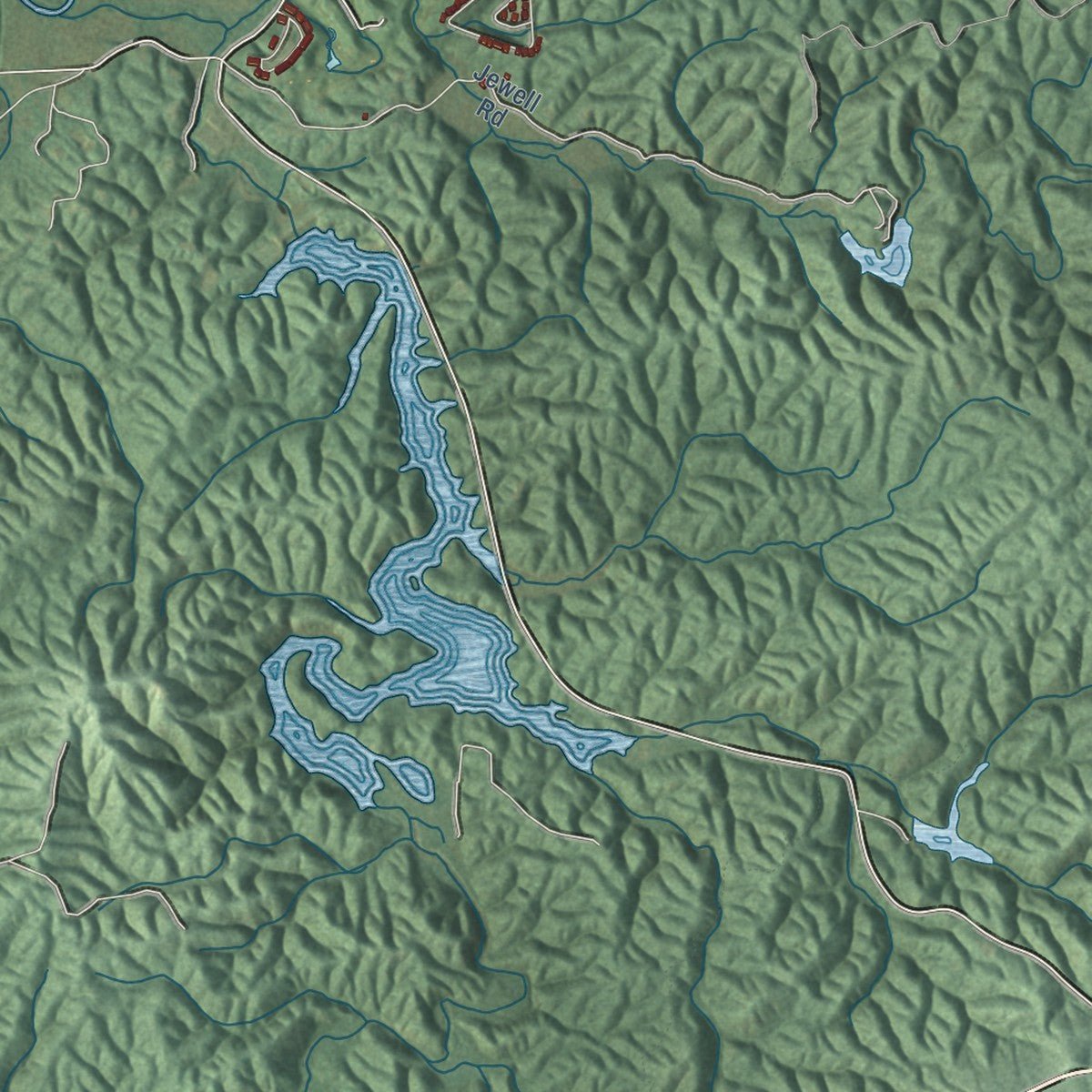
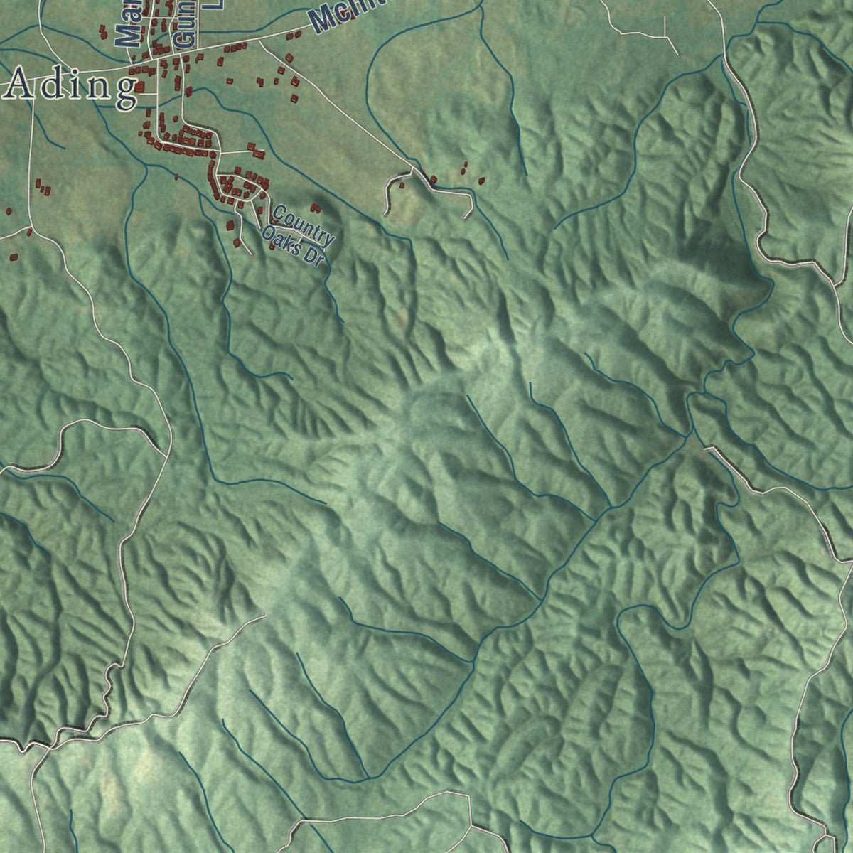
Up close
Geography Worth Displaying
This map was created using accurate cartographic data and authoritative geographic sources, including the U.S. Geological Survey and the Census Bureau. The map brings together terrain, waterways, roads, and building detail. The majority of the streets are labeled, houses are accurately depicted, and the topography is derived from government sources. Combining local data with carefully composed color and shading leads to this beautifully detailed Oxford artwork for your wall.
Rather than simply showing street outlines, we’ve included as many of the street names as we could reasonably fit on the map while keeping their names legible. Zoom in on the high resolution preview to see exactly what’s on the map. We truly set out to create a statement piece for anyone who loves Oxford. So whether it’s for you, or a gift for someone you love, we hope this map of Oxford brings back fond memories.
Read the story behind this map of Oxford, Alabama from 2026.
About Oxford, Alabama
Oxford is a city of 22,069 people, mostly in Calhoun County, in northeast Alabama just south of Anniston. Creeks of the Abeika towns lived here before settlers came. The first settlement was a cluster of log cabins called Lick Skillet, and it grew into a trading town for cotton farmers. Residents later renamed it for the English university city, and on February 7, 1852, Oxford became the first town in Calhoun County to incorporate.
The Alabama and Tennessee River Railroad had run its tracks through town by 1862. In 1899 Black residents of a segregated section called Mooree Quarter asked the county to let them form a town of their own. The county agreed, and they incorporated as Hobson City, named for a naval hero of the Spanish-American War. At the time it was only the second town in the country governed entirely by African Americans.
- Oxford College, 1867 to 1900Local citizens donated the land and a two-story brick building for Oxford College, which taught the area's boys and girls. The city bought the building in 1909 and ran it as Oxford's high school until a new one replaced it on the same site in 1950.
- Oxford Lake at Marble SpringsIn the late 1880s a lake was built around Marble Springs, southeast of town, and Oxford Lake became a favorite place to gather. An electric streetcar carried people out from Anniston and Oxford. Crowds thinned in the Great Depression of the 1930s and returned in World War II, when rides, roller skating and ball fields were added. The town bought the lake in 1955, and the Coldwater Covered Bridge, built in 1850, now stands in Oxford Lake Park.
- A depot from 1884The railroad reached Oxford by 1862, and the town's depot dates from 1884. In the 1910s Oxford sat on both the Southern Railway and the Louisville & Nashville, with a cottonseed oil mill, a cotton gin, a fertilizer plant, a firebrick plant and a cotton-cord and twine mill, plus iron ore and coal mines nearby. The Oxford Railway Depot joined the National Register in 2025.
- Mounds older than the CreeksArchaeologists have found several mounds here that predate the Creeks. They belonged to a ceremonial center important to the whole region, and Native Americans lived there without a break until they were forced out in the 1830s. When a developer damaged one of the largest mounds in the late 2000s, the story made local and national news, and the city, archaeologists and the Muscogee (Creek) Nation began working together on what to do with its remains.
Find your street
Names on the Oxford map
Every name below is printed on this map. Look for your street, your school, the park where you played, or the pond down the road.
Places and landmarks21
- Oxford City Hall
- DeArmanville
- Friendship
- Boiling Spring
- Blue Pond
- Burns Crossroad
- Bynum
- Cheaha Acres
- Coldwater
- Forest Hills
- Gauldinville
- Hicks
Show all 21 places
- Knoxville
- Lakeview
- Lardent
- McAding
- McKibben
- New Haven
- Oak Hill
- Trinity
- Vinnette
Streets and roads139
- Bynum Boulevard
- Al Highway 21
- Barry Street
- Snow Street
- Green Acres Road
- Red Oak Drive
- Main Street
- McIntosh Road
- Airport Road
- Friendship Road
- Taylors Chapel Road
- County Line Road
- Leon Smith Parkway
- Morgan Road
- West Ninth Street
- Ponderosa Trail
- Beck Road
- County Line Road West
- Peaceful Valley Road
- Buckelew Road
- Turner Road
- Cecile Drive
- Little John Drive
- Hinton Drive
- Circle Drive
- Green Valley Drive
- Sunny Eve Road
- Lane Road
- Mahaffey Road
- Carterton Heights
Show all 139 streets
- Caffey Drive
- Denny Road
- Hale Street
- Recreation Drive
- Self Road
- Mary Drive
- Knight Drive
- Grogan Road
- Park Place
- Digby Road
- Lori Lane
- Hamric Drive East
- Hamric Drive West
- Coldwater Road
- Watson Drive
- Bynum Cutoff Road
- Marsh Lane
- Gunnells Lane
- Pace Street
- Apple Blossom Way
- Davis Avenue
- Cheaha Drive
- Dearmanville Road
- Kirby Road
- Ina Lane
- Parker Lane
- Locke Drive
- Southwood Drive
- Scenic Circle
- Sand Trap Circle
- Anna Brook Lane
- Frances Boulevard
- McCullars Lane
- Memorial Drive
- Donna Drive
- Huntcliff Drive
- Chevron Road
- Grandview Drive
- Dogwood Drive
- Luttrell Street
- Irby Drive
- Peek Drive
- Elm Street
- Lakewood Drive
- Gidley Road
- Fitzgerald Road
- Mellon Lane
- Monta Vista Road
- Coweta Trail
- Lark Lane
- Butler Street
- Forney Street
- Noah Lane
- Lake Street
- Glover Drive
- Apple Valley Lane
- Sue Drive
- Del Ray Drive
- Carrie Lee Circle
- My Drive
- Kelly Lynn Drive
- Aspen Lane
- Alex Lane
- Gable Lane
- Alan Drive
- CC Road
- Cobb Road
- Caldard Pass
- Brentwood Drive
- Evans Lane
- Alan Street
- Patricia Lane
- Willow Cove Road
- Bama Drive
- Knoxville Lane
- Amy Lane
- Dorris Drive
- Lena Lane
- Walker Street
- Mamie Drive
- Rose Avenue
- Rilda Road
- Dixie Drive
- Old Highway 202
- Southmoor Circle
- Mellon Bridge Road
- Wilson Willingham Road
- Glen Davis Lane
- Buckhorn Road
- Country Oaks Drive
- Jewell Road
- Hilldale Road
- Forestdale Drive
- Victory Road
- Stone Street
- Forever Wild Lane
- Coffee Lane
- Spring Branch Street
- Lester Avenue
- Mavin Street
- O'Rear Lane
- Penny Lane
- Joe Street
- Allred Drive
- Burns Street
- Bobo Lane
- Scott Lane
- Alice Street
- Hill Street
Names are listed as they appear on the printed map. Zoom into the product photos to find them.
The art of mapping a place
How This Map Was Made
Real places. Remarkable detail. Discover the layers that turn geographic data into a map of home.

The view from above
Aerial imagery reveals the character of the land: woodland, open fields, and the patterns of a place.

The shape of the land
Elevation data brings hills, valleys, and subtle changes in the landscape into view.

The details of home
Roads, waterways, and building footprints come together to make the map feel unmistakably local.

Geography becomes art
Considered color, shading, and typography bring the layers together in a map made for your wall.


Process illustrated with Mendon, Massachusetts. Aerial imagery: USDA NAIP. Terrain: USGS 3D Elevation Program. Map details and finished artwork: KNOWOL.
The Details
About This Print
Choose an archival matte print, or a black or white Ayous wood frame. The archival matte print is unframed.
Select your size and finish above to see the matching product image and price.
Materials & Craftsmanship
A contemporary map with the character of a classic atlas, printed on archival matte paper. Optional frames are made from Ayous wood.
Your printed map does not include the watermark shown in the full-map preview.
Shipping & Delivery
Free shipping within the United States. Every print is made to order in the USA.
Buying a gift? Add a note in your cart and we'll include it. We never put prices in the package.
Prints ship within 2 to 3 business days. Allow 7 to 10 days total from ordering for delivery. Timing may vary during holidays or periods of high order volume.
Read our shipping policy.
Returns and damaged prints
Each print is made to order. Change-of-mind refunds are not available after production.
If your print arrives damaged, misprinted or incorrect, contact support@knowol.com within 30 days of receiving it. Include your order number, photos and a description of the issue.
Read our full refund and replacement policy. For questions about your order, email support@knowol.com.
Find your town
Looking for another city?
Find a map of home in our Alabama collection, or any town in the country.
Nearby
Maps of towns near Oxford
Know someone from one of these towns? Their map makes a great gift.
 Hobson City
, Alabama
From $39.99See the map
 West End-Cobb Town
, Alabama
From $39.99See the map
 Anniston
, Alabama
From $39.99See the map
More maps nearby: Munford, Saks, Choccolocco, Alexandria and Weaver.