
Search for another town



Free U.S. delivery 7 to 10 days after you order
Palmetto Bay, Florida Map Art
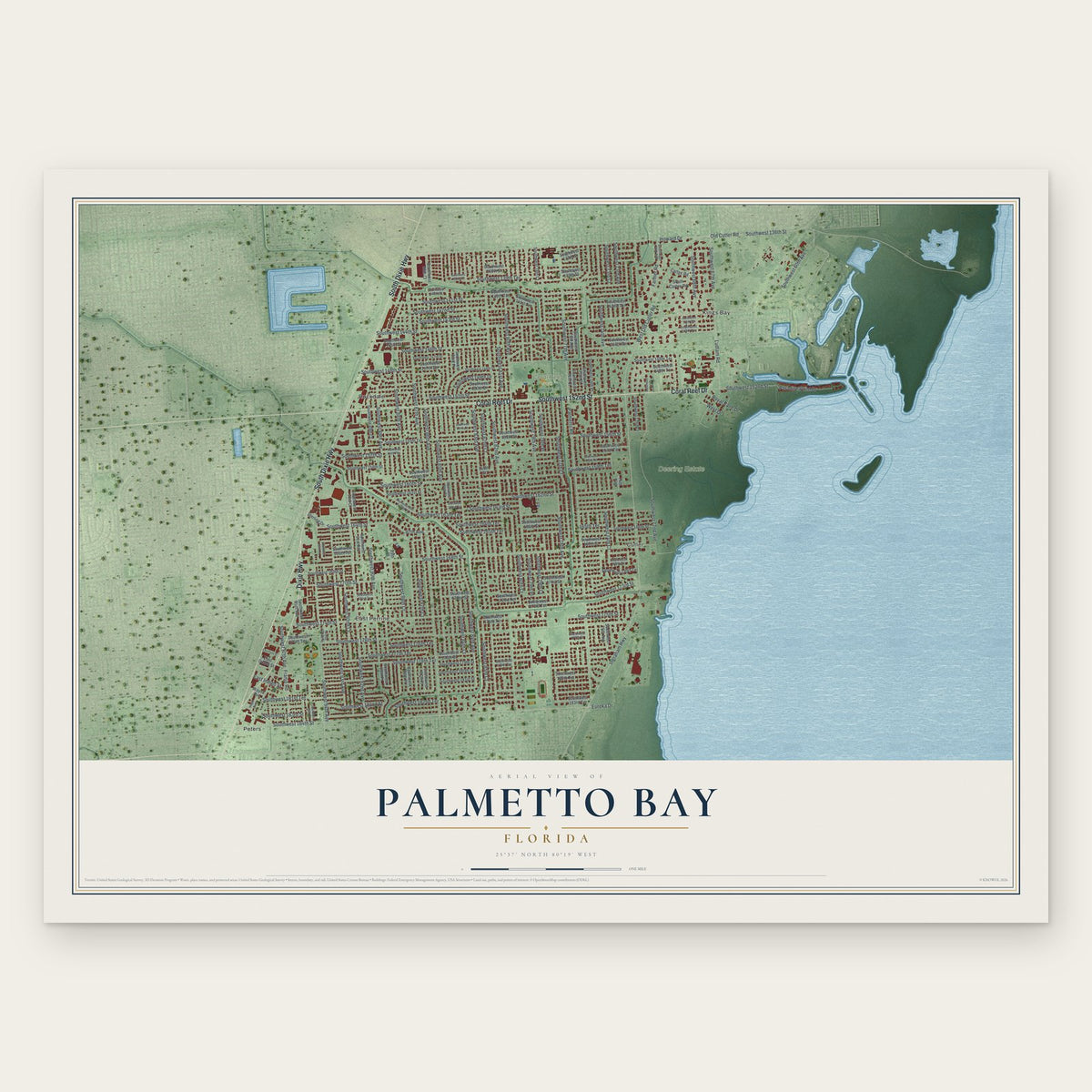
A new map of Palmetto Bay, Florida, made in 2026 and printed to order on thick archival matte paper.
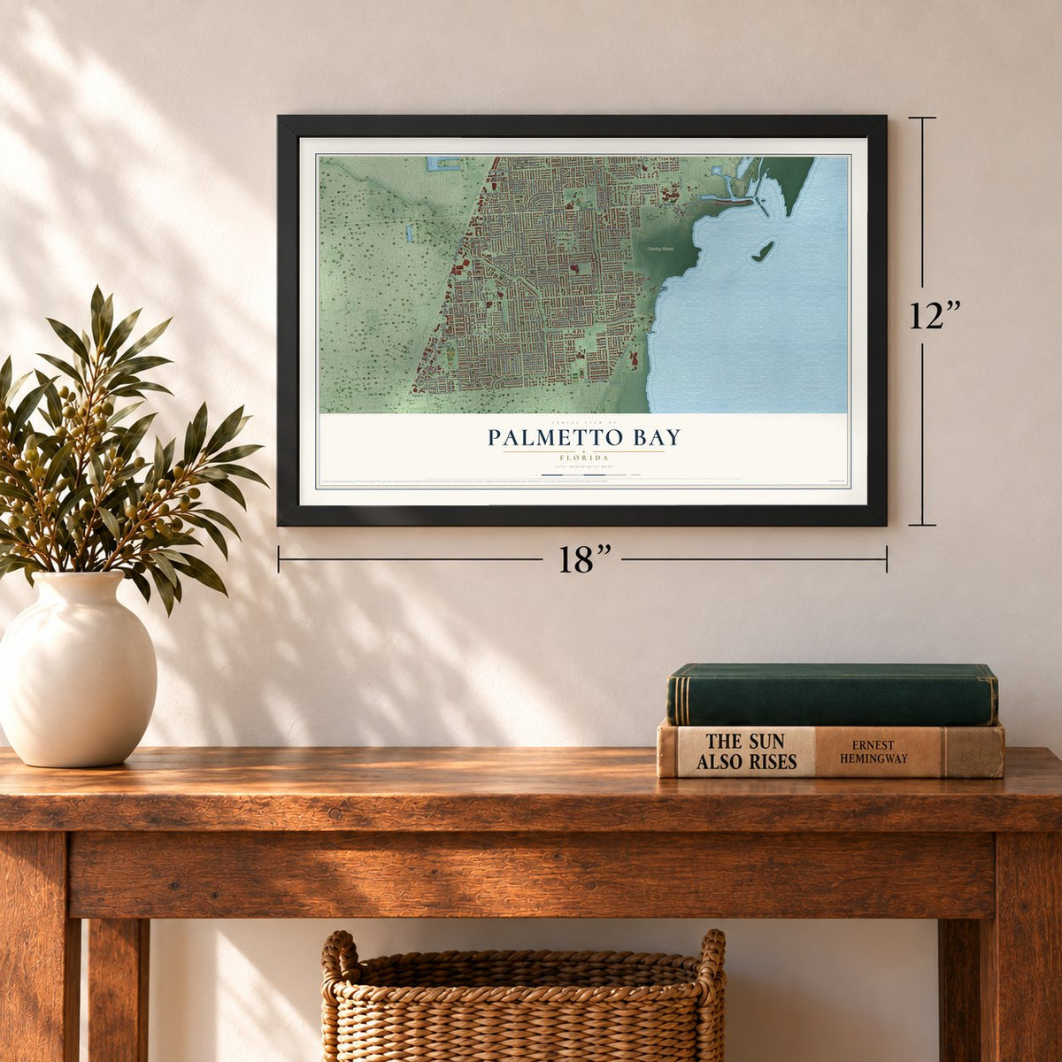
12" x 18" Archival Matte Print
A Map of Home. A Work of Art.
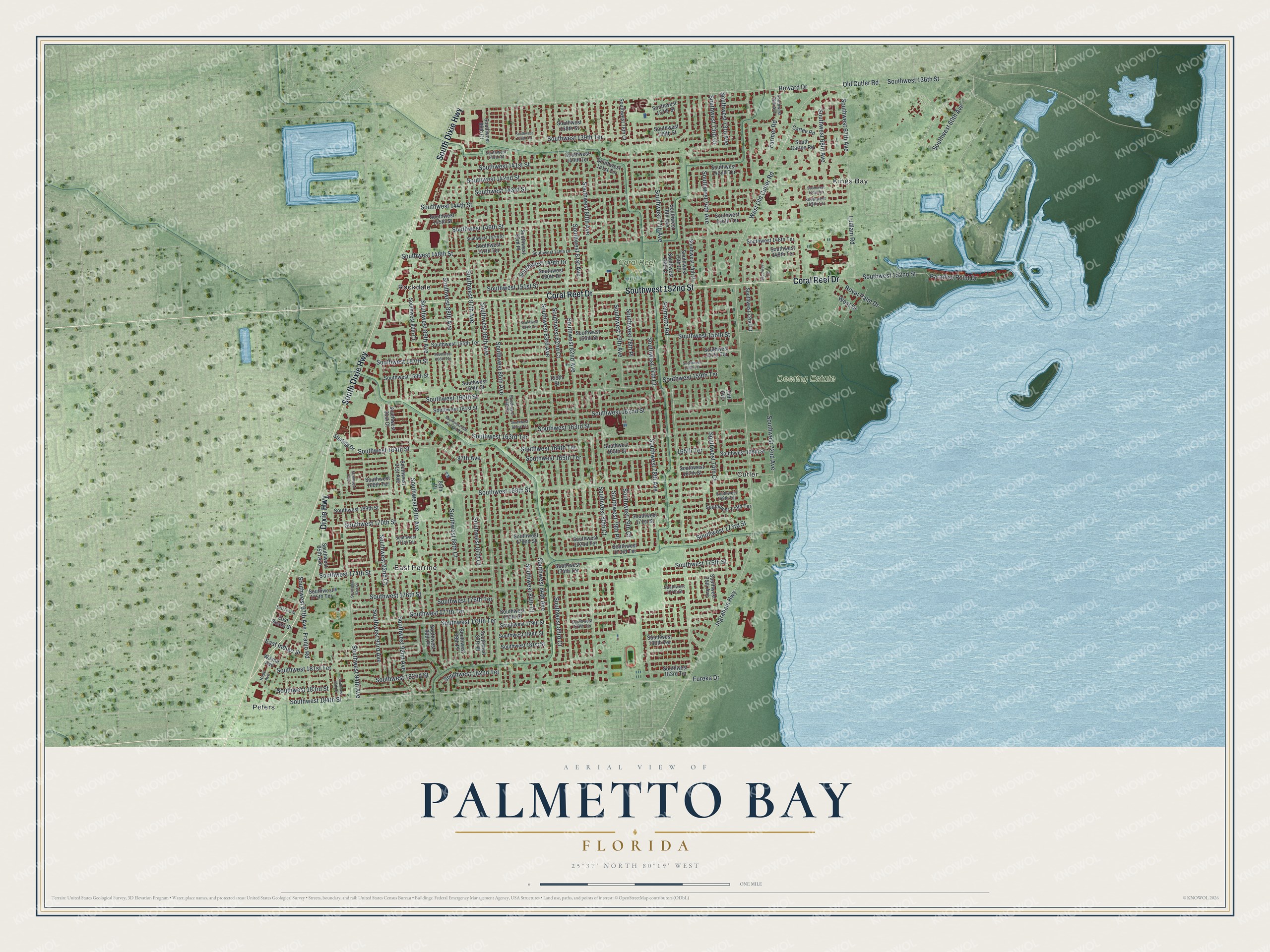
Explore Palmetto Bay, Florida from a whole new perspective. Created using aerial imagery and detailed geographic data, this map captures Palmetto Bay building by building, with labeled streets, familiar landmarks, and shaded topographical relief that highlights the natural contours of the landscape.
Combining modern data with the timeless character of a vintage atlas, this map is just as interesting up close as it is beautiful on the wall. Whether you grew up in Palmetto Bay, spent memorable years there, or call it home today, this unique map is a great way to celebrate a place that means something to you. Zoom in on the preview to look for your street, and then order a print to put your memories on the wall.
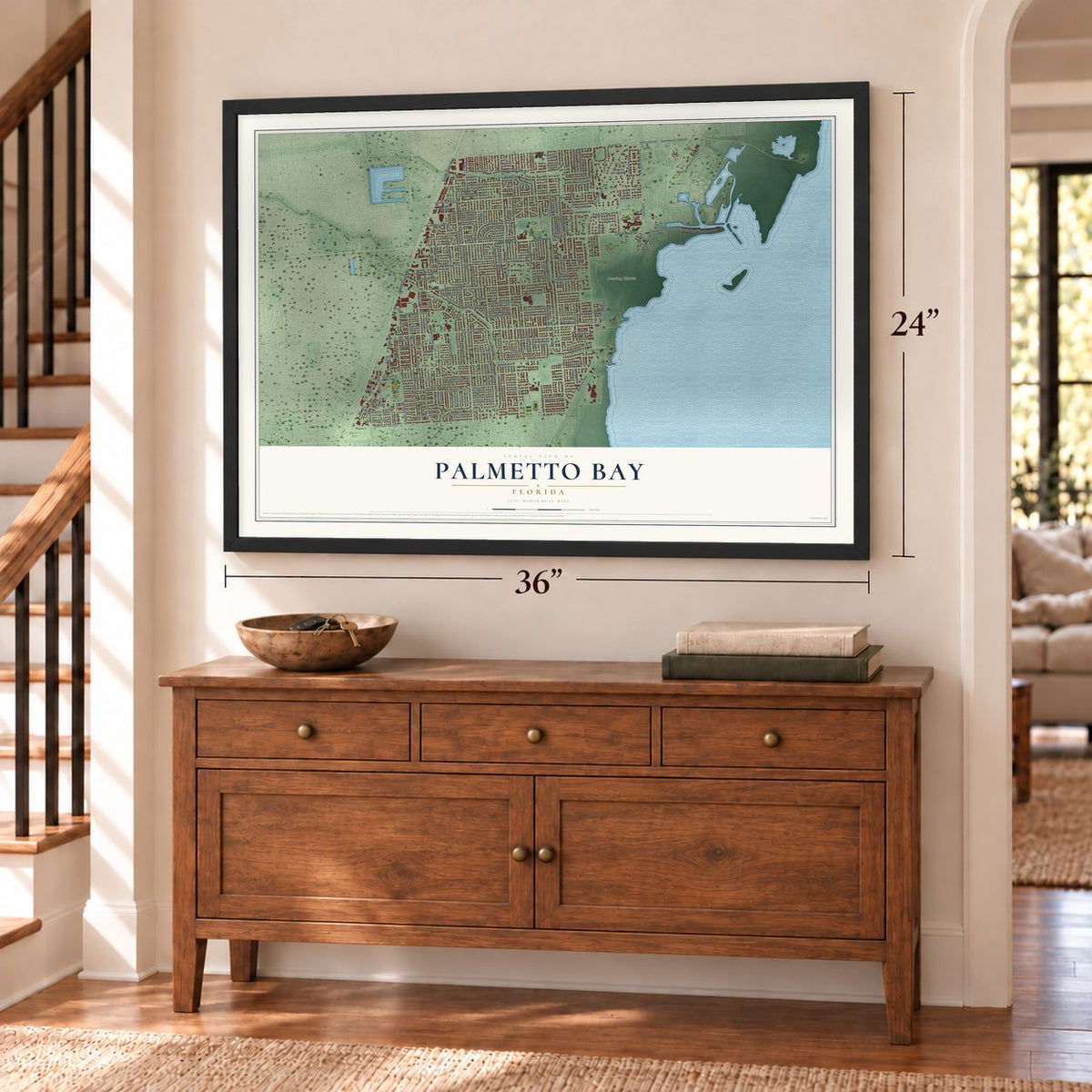
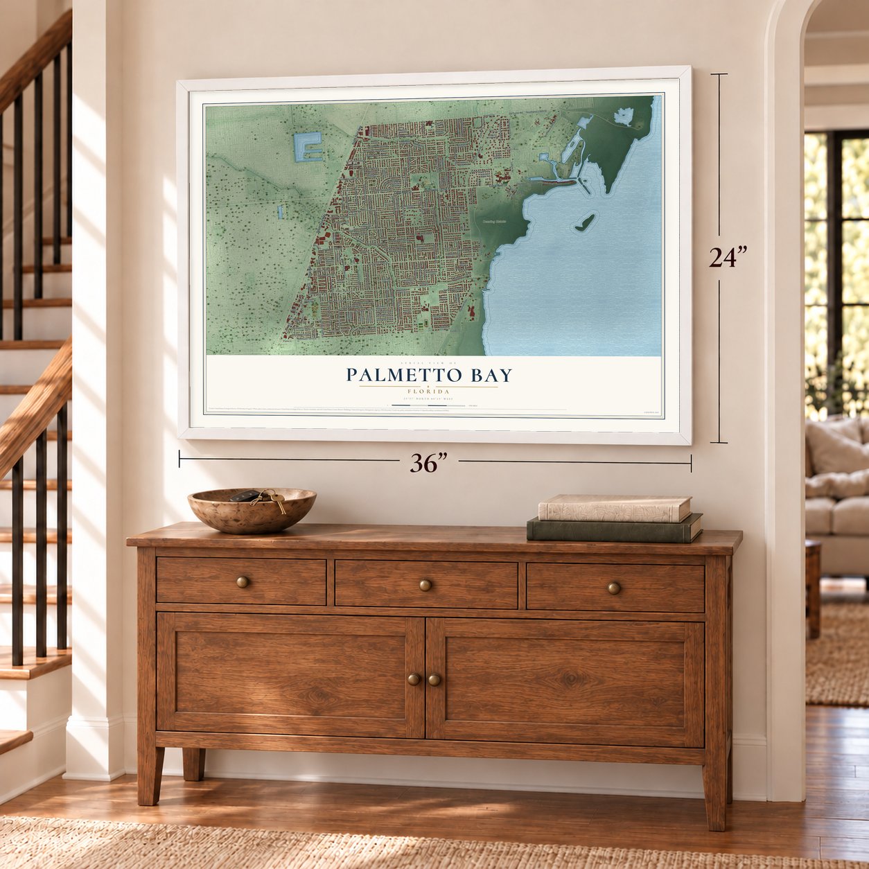
Three ways to hang it
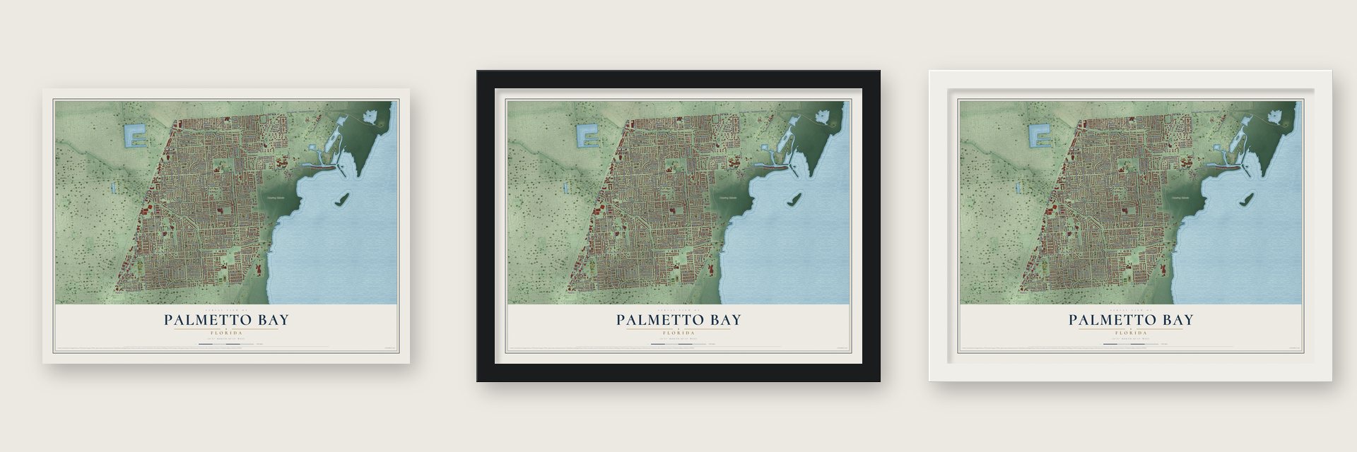
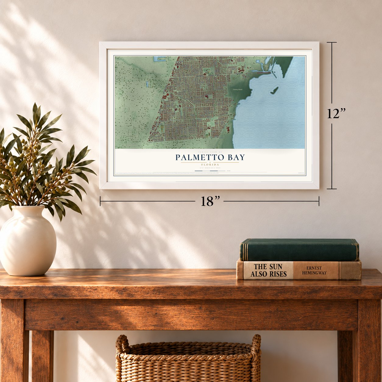
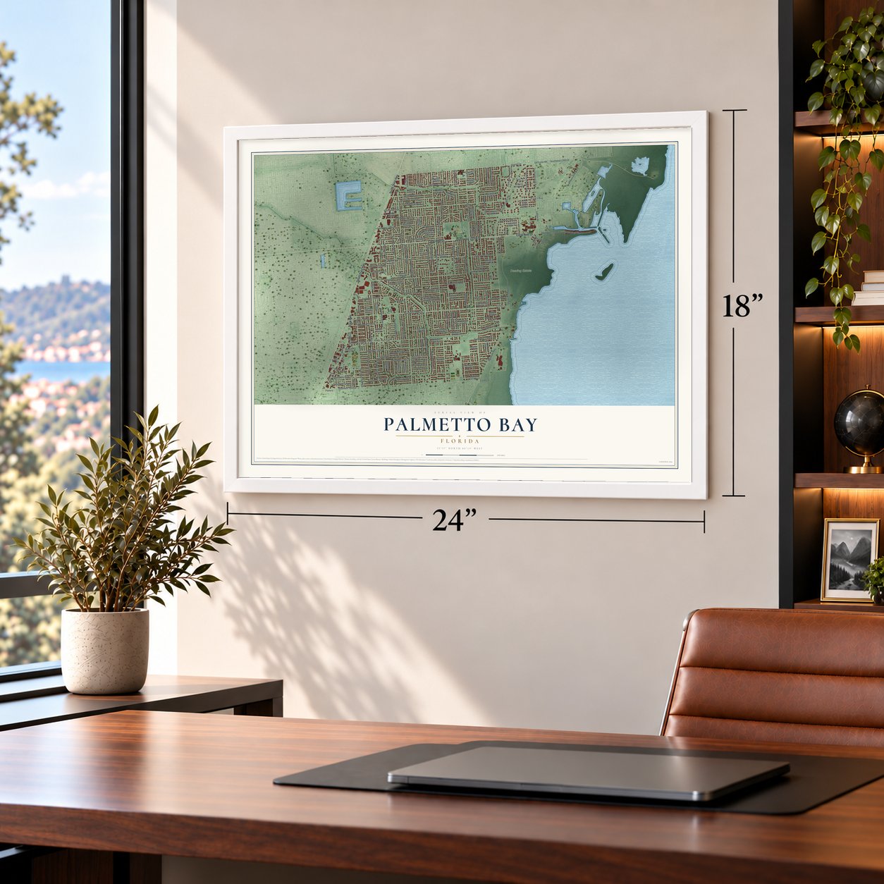
Unframed archival matte, a black wood frame or a white wood frame.
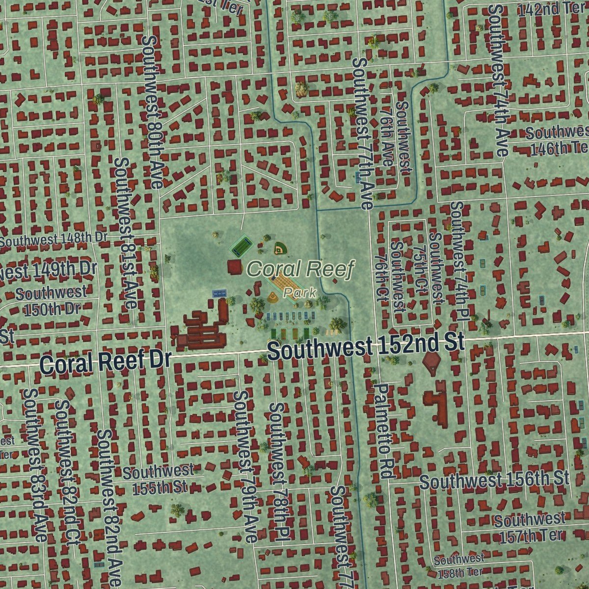
Up close
Geography Worth Displaying
This map was created using accurate cartographic data and authoritative geographic sources, including the U.S. Geological Survey (USGS) and FEMA. The map brings together terrain, waterways, roads, and building detail. The majority of the streets are labeled, houses are accurately depicted, and the topography is derived from government sources. Combining local data with carefully composed color and shading leads to this beautifully detailed Palmetto Bay artwork for your wall.
Rather than simply showing street outlines, we’ve included as many of the street names as we could reasonably fit on the map while keeping their names legible. Zoom in on the high resolution preview to see exactly what’s on the map. We truly set out to create a statement piece for anyone who loves Palmetto Bay. So whether it’s for you, or a gift for someone you love, we hope this map of Palmetto Bay brings back fond memories.
Explore the full map of Palmetto Bay, Florida and read about the local places it shows.

About Palmetto Bay, Florida
Palmetto Bay is a village of 24,439 people in Miami-Dade County, on the western side of Biscayne Bay. Its earliest name, the Hunting Ground, came from the Native American tribes who hunted here over a long stretch of time. Congress handed the land to Henry Perrine in 1838, inside a township covering 36 square miles. John and Mary Addison moved here from Manatee County in 1864, and by the 1870s their home had given the spot the name Addison's Landing.
Dr. William C. Cutler came in the early 1880s and purchased 600 acres. A friend of his, William Fuzzard, built a two-story house in 1883. The next year Fuzzard and his neighbors cleared a trail through the woods to Coconut Grove, and that trail became Old Cutler Road. By late 1884, 75 people lived here, and their post office took the name Cutler. The Florida East Coast Railway chose Perrine for its line in 1903, and Cutler faded. On September 10, 2002, Cutler, Rockdale and East Perrine joined to form the Village of Palmetto Bay, with Eugene Flinn Jr. as its first mayor.
- Charles Deering's Stone HouseCharles Deering, who chaired International Harvester, bought most of the land around old Cutler from 1914 to 1917. His three-story Mediterranean Stone House, completed in 1922, had brass doors and concrete walls 18 inches thick. Fear of fire kept any stove out of it, so the cooking was done in the Richmond Cottage. The state bought the 444-acre estate in the 1980s, and after Hurricane Andrew in 1992 its repair took seven years and $7.2 million.
- The southernmost mainland hotelAt about the turn of the century, the Richmonds made their big frame house into a 22-room hotel called the Richmond Cottage. One account called it the hotel farthest south on the U.S. mainland. When Charles Deering bought the land, he kept the cottage, and it became the kitchen for his Stone House.
- Ice Age bones in a sinkholeIn 1979 a sinkhole on the Deering Estate turned out to hold the bones of Pleistocene animals along with signs of early people. It is known as the Cutler Fossil Site. The grounds also keep the Cutler Burial Mound, among the last prehistoric mounds left in Miami-Dade County.
- Burger King's old campusBurger King once kept its headquarters in Cutler, on a large campus the Miami Herald's Elaine Walker called "virtually hidden away." The company moved out in July and August 2002, shortly before Palmetto Bay became a village, and by 2007 the old buildings held offices rented by several companies.
Find your street
Names on the Palmetto Bay map
Every name below is printed on this map. Look for your street, your school, the park where you played, or the pond down the road.
Places and landmarks7
- Coral Reef Park
- Deering Estate
- Cutler
- East Perrine
- Kings Bay
- Peters
- Rockdale
Streets and roads173
- Dixie Highway
- Coral Reef Drive
- Southwest 152nd Street
- South Dixie Highway
- Southwest 164th Street
- Southwest 97th Avenue
- 87th Avenue
- Southwest 146th Street
- Southwest 81st Avenue
- Southwest 159th Terrace
- Southwest 92nd Avenue
- Southwest 88th Avenue
- Southwest 74th Court
- Southwest 68th Avenue
- Southwest 163rd Terrace
- Ingraham Highway
- West Old Cutler Road
- Southwest 77th Avenue
- Southwest 82nd Avenue
- Southwest 136th Street
- Eureka Drive
- Southwest 144th Street
- Southwest 87th Avenue
- Southwest 184th Street
- Southwest 168th Street
- Southwest 83rd Avenue
- Southwest 84th Court
- Southwest 84th Avenue
- Howard Drive
- Southwest 176th Street
Show all 173 streets
- Palmetto Road
- Southwest 80th Avenue
- Southwest 86th Avenue
- Southwest 72nd Avenue
- Southwest 174th Street
- Southwest 87th Court
- Southwest 78th Avenue
- Southwest 89th Avenue
- Southwest 83rd Court
- Southwest 82nd Court
- Southwest 170th Street
- Southwest 74th Avenue
- Southwest 156th Street
- Southwest 85th Avenue
- Southwest 160th Street
- Southwest 77th Court
- Southwest 181st Terrace
- Southwest 162nd Street
- Southwest 90th Avenue
- Southwest 78th Place
- Southwest 93rd Avenue
- Southwest 141st Street
- Southwest 79th Court
- Southwest 178th Terrace
- Southwest 67th Avenue
- Southwest 148th Street
- Ludlam Road
- Southwest 94th Avenue
- Southwest 88th Court
- Southwest 92nd Court
- Southwest 142nd Street
- Southwest 79th Avenue
- Southwest 143rd Street
- Southwest 139th Terrace
- Southwest 182nd Terrace
- Southwest 73rd Court
- Southwest 151st Street
- Southwest 182nd Street
- Southwest 157th Street
- Southwest 175th Street
- Southwest 163rd Street
- Southwest 183rd Street
- Southwest 177th Terrace
- Southwest 173rd Street
- Franjo Road
- Old Cutler Road
- Southwest 73rd Avenue
- Southwest 80th Court
- Southwest 164th Terrace
- Southwest 176th Terrace
- Farmer Road
- Paradise Point Drive
- Southwest 165th Terrace
- Southwest 60th Avenue
- Southwest 149th Drive
- Southwest 79th Place
- Royal Palm Drive
- East Indigo Street
- 165th Terrace
- West Drive
- Sterling Drive
- Southwest 83rd Place
- Southwest 159th Street
- Southwest 181st Street
- Southwest 180th Street
- Southwest 89th Court
- Southwest 166th Street
- Southwest 183rd Terrace
- Southwest 76th Avenue
- Southwest 78th Court
- Southwest 75th Avenue
- Southwest 178th Street
- Southwest 145th Street
- Southwest 72nd Court
- Southwest 74th Place
- Southwest 165th Street
- Southwest 161st Street
- Southwest 172nd Terrace
- Southwest 170th Terrace
- Southwest 169th Street
- Southwest 172nd Street
- Southwest 155th Terrace
- Southwest 91st Avenue
- Southwest 171st Street
- Southwest 158th Street
- Southwest 149th Terrace
- Southwest 142nd Terrace
- Southwest 167th Street
- Southwest 140th Terrace
- Southwest 138th Street
- Southwest 173rd Terrace
- Southwest 179th Street
- Southwest 148th Terrace
- Southwest 86th Court
- Southwest 87th Place
- Southwest 137th Street
- Southwest 155th Street
- Southwest 157th Terrace
- Southwest 141st Terrace
- Southwest 166th Terrace
- Southwest 75th Court
- Southwest 139th Street
- Southwest 147th Terrace
- Southwest 88th Place
- Southwest 180th Terrace
- Southwest 146th Terrace
- Southwest 89th Place
- Wayne Avenue
- Southwest 150th Drive
- Southwest 91st Court
- South Cartee Road
- Southwest 175th Terrace
- Southwest 76th Court
- Cartee Road
- East Guava Street
- Southwest 174th Terrace
- Southwest 95th Avenue
- 74th Avenue
- 159th Street
- 89th Place
- Southwest 147th Street
- Southwest 179th Terrace
- Southwest 148th Drive
- Southwest 70th Avenue
- Southwest 171st Terrace
- Southwest 145th Terrace
- Southwest 169th Terrace
- Southwest 140th Street
- Southwest 84th Place
- Southwest 177th Street
- Hope Avenue
- Southwest 154th Terrace
- Southwest 158th Terrace
- Southwest 94th Court
- Southwest 138th Terrace
- Southwest 93rd Court
- Southwest 88th Avenue Road
- Southwest 144th Terrace
- Southwest 162nd Terrace
- Southwest 93rd Place
- Southwest 156th Terrace
- East Fern Street
- Southwest 71st Court
Names are listed as they appear on the printed map. Zoom into the product photos to find them.
The art of mapping a place
How This Map Was Made
Real places. Remarkable detail. Discover the layers that turn geographic data into a map of home.

The view from above
Aerial imagery reveals the character of the land: woodland, open fields, and the patterns of a place.

The shape of the land
Elevation data brings hills, valleys, and subtle changes in the landscape into view.

The details of home
Roads, waterways, and building footprints come together to make the map feel unmistakably local.

Geography becomes art
Considered color, shading, and typography bring the layers together in a map made for your wall.


Process illustrated with Mendon, Massachusetts. Aerial imagery: USDA NAIP. Terrain: USGS 3D Elevation Program. Map details and finished artwork: KNOWOL.
The Details
About This Print
Choose an archival matte print, or a black or white Ayous wood frame. The archival matte print is unframed.
Select your size and finish above to see the matching product image and price.
Materials & Craftsmanship
A contemporary map with the character of a classic atlas, printed on archival matte paper. Optional frames are made from Ayous wood.
Your printed map does not include the watermark shown in the full-map preview.
Shipping & Delivery
Free shipping within the United States. Every print is made to order in the USA.
Buying a gift? Add a note in your cart and we'll include it. We never put prices in the package.
Prints ship within 2 to 3 business days. Allow 7 to 10 days total from ordering for delivery. Timing may vary during holidays or periods of high order volume.
Read our shipping policy.
Returns and damaged prints
Each print is made to order. Change-of-mind refunds are not available after production.
If your print arrives damaged, misprinted or incorrect, contact support@knowol.com within 30 days of receiving it. Include your order number, photos and a description of the issue.
Read our full refund and replacement policy. For questions about your order, email support@knowol.com.
Find your town
Looking for another city?
Find a map of home in our Florida collection, or any town in the country.
Nearby
Maps of towns near Palmetto Bay
Know someone from one of these towns? Their map makes a great gift.
 Palmetto Estates
, Florida
From $39.99See the map
 West Perrine
, Florida
From $39.99See the map
 Pinecrest
, Florida
From $39.99See the map
More maps nearby: Cutler Bay, Richmond Heights, Kendall, South Miami Heights and Three Lakes.