
Search for another town




Free U.S. delivery 7 to 10 days after you order
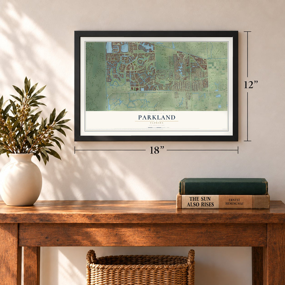
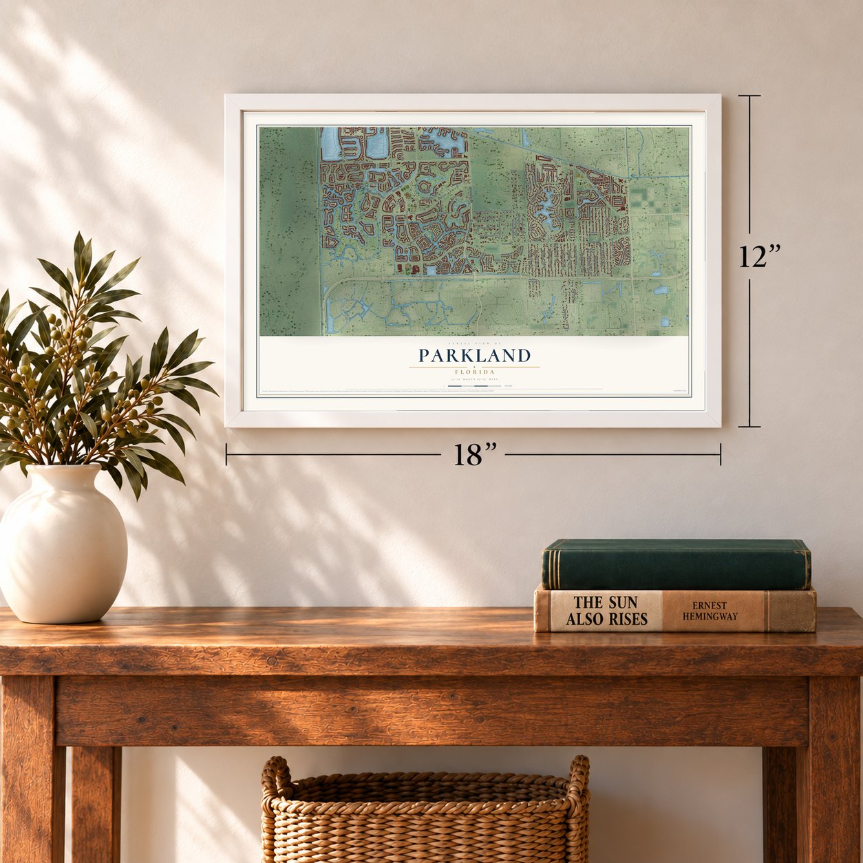
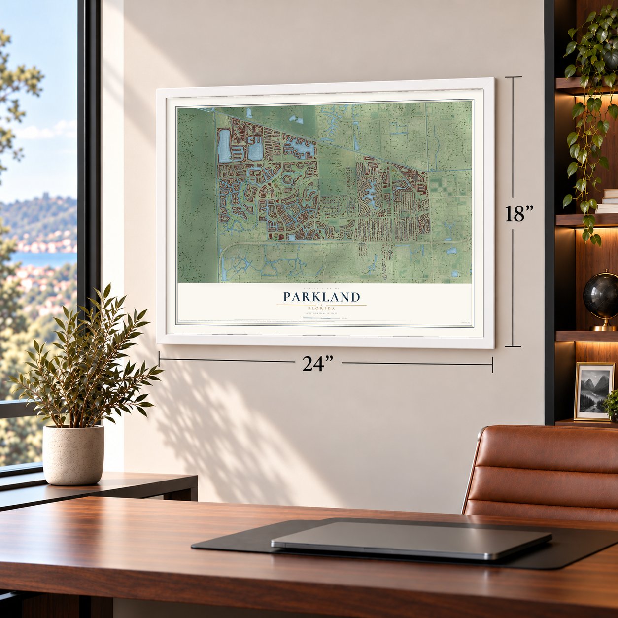
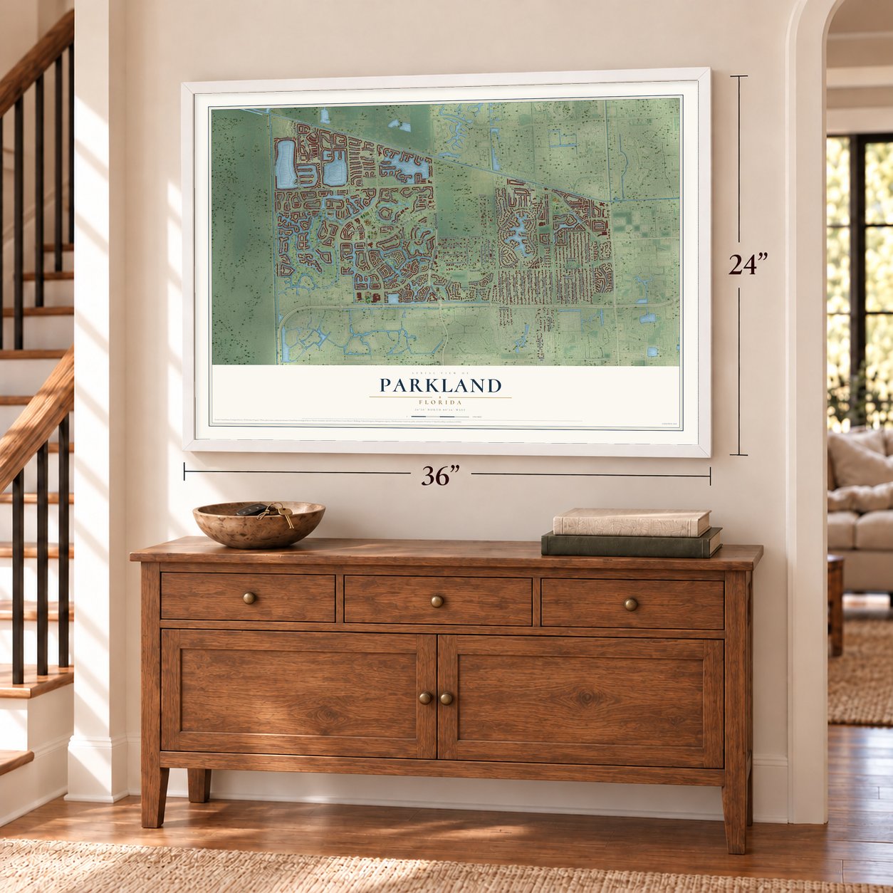
Parkland, Florida Map Art
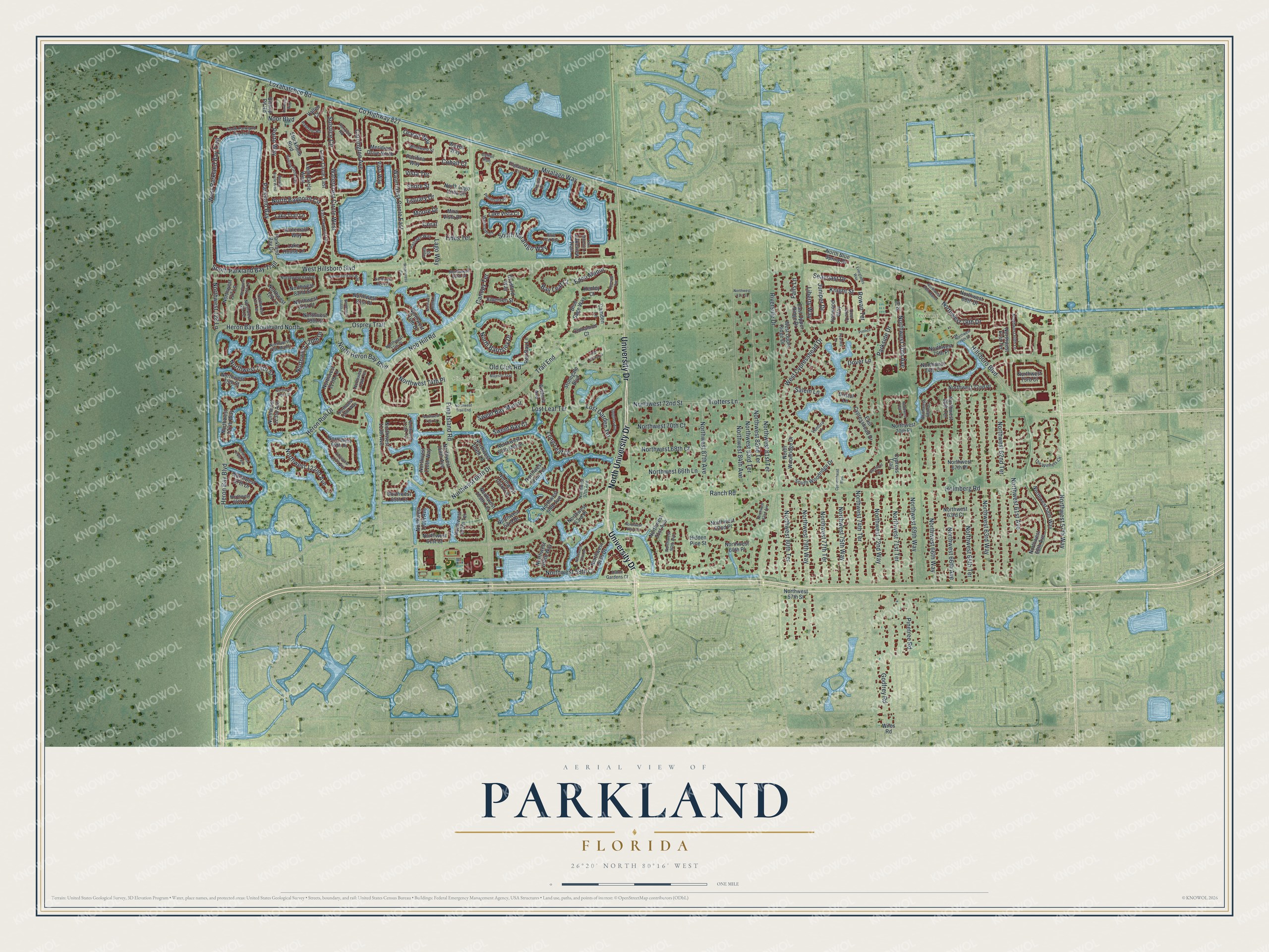
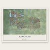
A new map of Parkland, Florida, made in 2026 and printed to order on thick archival matte paper.
12" x 18" Archival Matte Print
A Map of Home. A Work of Art.
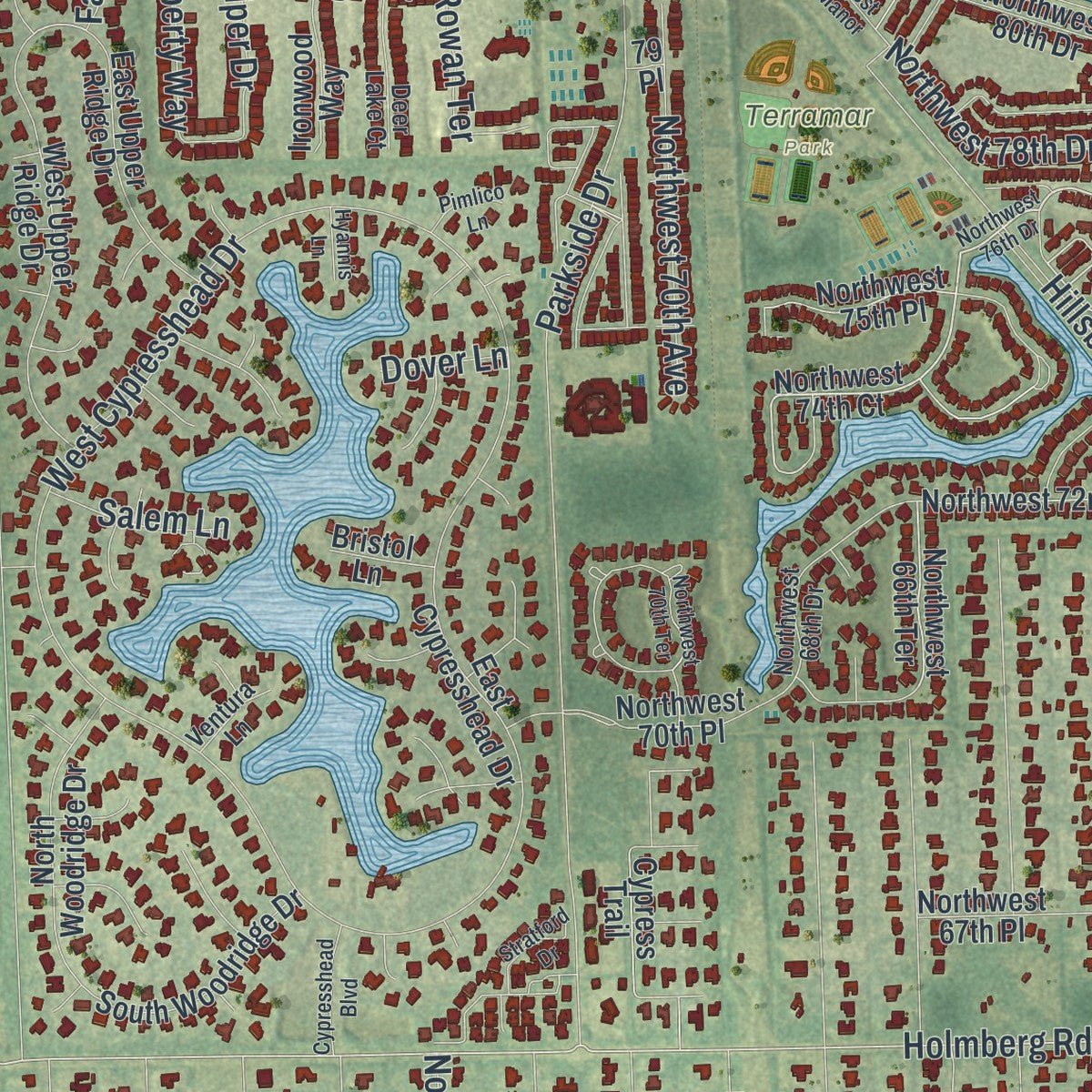
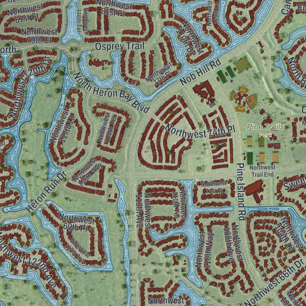
Explore Parkland, Florida from a whole new perspective. Created using aerial imagery and detailed geographic data, this map captures Parkland building by building, with labeled streets, familiar landmarks, and shaded topographical relief that highlights the natural contours of the landscape.
Combining modern data with the timeless character of a vintage atlas, this map is just as interesting up close as it is beautiful on the wall. Whether you grew up in Parkland, spent memorable years there, or call it home today, this unique map is a great way to celebrate a place that means something to you. Zoom in on the preview to look for your street, and then order a print to put your memories on the wall.
Three ways to hang it
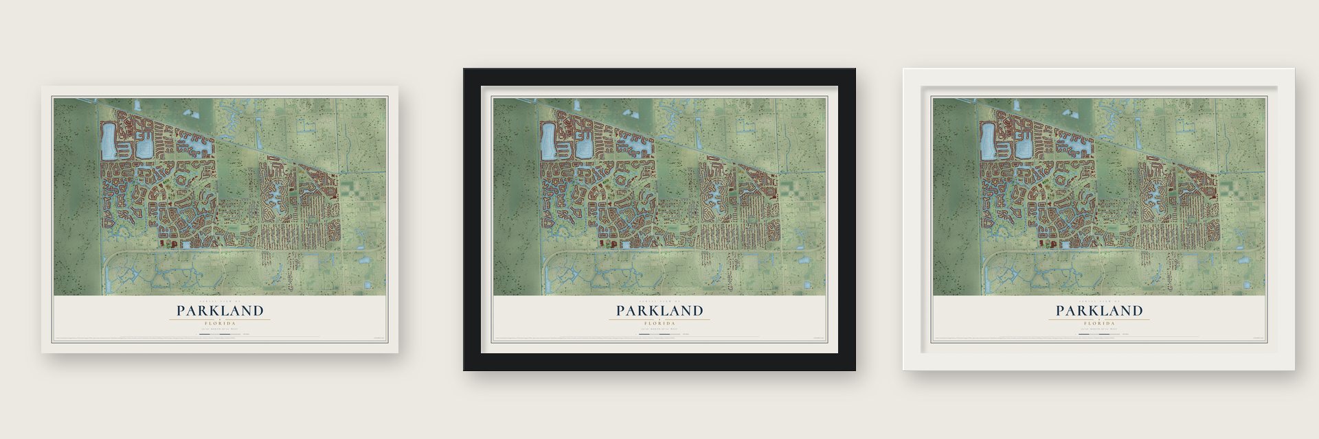
Unframed archival matte, a black wood frame or a white wood frame.
Up close
Geography Worth Displaying
This map was created using accurate cartographic data and authoritative geographic sources, including the U.S. Geological Survey (USGS) and FEMA. The map brings together terrain, waterways, roads, and building detail. The majority of the streets are labeled, houses are accurately depicted, and the topography is derived from government sources. Combining local data with carefully composed color and shading leads to this beautifully detailed Parkland artwork for your wall.
Rather than simply showing street outlines, we’ve included as many of the street names as we could reasonably fit on the map while keeping their names legible. Zoom in on the high resolution preview to see exactly what’s on the map. We truly set out to create a statement piece for anyone who loves Parkland. So whether it’s for you, or a gift for someone you love, we hope this map of Parkland brings back fond memories.
Explore the full map of Parkland, Florida and read about the local places it shows.
About Parkland, Florida
Parkland is a city of 34,670 people in northern Broward County, about 30 miles north of Fort Lauderdale. Its northern edge follows the Palm Beach County line, Coral Springs lies to its south, and the Everglades mark its western side.
The city began with Bruce Blount, a local farmer, rancher and veteran who wanted a rural town of open ranch land. He first offered tracts of his own property under the name BBB Ranches to win official recognition. The Florida Legislature approved a charter on July 10, 1963, and on August 12 of that year Governor C. Farris Bryant made Parkland an official city, with Blount as its first mayor.
- House Bill 2079State Representative Emerson Alsworth took up Blount's charter in the Florida House, where it was filed as House Bill 2079. He picked the name Parkland for the bill because it fit the quiet, undeveloped town Blount had in mind, far from the building boom spreading across Broward County.
- More horses than peopleRiding was so popular in early Parkland that horses outnumbered residents for the city's whole first decade. From its early days the city also became known for its many parks and for keeping its natural land.
- No traffic lights until the 1990sParkland's zoning rules were written to guard its park-like character. The city went without stores or traffic lights until two large neighborhoods, Heron Bay and Parkland Isles, were built in the mid-1990s and early 2000s.
- A mayor from Pompano BeachBefore he led Parkland, Bruce Blount had already served Pompano Beach as its mayor and as a city commissioner. He brought that experience to the new city as its first mayor in 1963, and Parkland today elects a five-member City Commission.
Find your street
Names on the Parkland map
Every name below is printed on this map. Look for your street, your school, the park where you played, or the pond down the road.
Places and landmarks2
- Pine Trails Park
- Terramar Park
Streets and roads240
- University Drive
- North University Drive
- Heron Bay Boulevard
- Old Club Road
- Heron Bay Boulevard North
- Northwest 74th Place
- South Parkland Bay Trail
- West Parkland Bay Trail
- Holmberg Road
- Northwest 62nd Terrace
- Northwest 81st Terrace
- Parkland Bay
- Northwest 72nd Street
- Trotters Lane
- Northwest 58th Court
- North Barnsley Drive
- Eden Manor
- Loxahatchee Road
- Nob Hill Road
- Trail End
- Pine Island Road
- Hillsboro Boulevard
- County Highway 827
- West Hillsboro Boulevard
- Riverside Drive
- Miralago Way
- Parkside Drive
- Northwest 84th Avenue
- Northwest 82nd Terrace
- Northwest 63rd Way
Show all 240 streets
- Northwest 66th Drive
- Osprey Trail
- Watercrest Circle West
- Northwest 65th Terrace
- Godfrey Road
- Heron Run Drive
- Northwest 66th Way
- Northwest 122nd Avenue
- West Cypresshead Drive
- Watercrest Circle East
- Northwest 61st Avenue
- Northwest 83rd Terrace
- Northwest 87th Avenue
- Northwest 79th Way
- Lost Garden Terrace
- Ranch Road
- Northwest 80th Terrace
- Northwest 66th Avenue
- Northwest 71st Terrace
- Lago Way
- Northwest 70th Court
- Northwest 68th Court
- Carrington Avenue
- Northwest 57th Way
- Northwest 75th Way
- Northwest 69th Way
- Northwest 72nd Way
- Northwest 77th Terrace
- Northwest 74th Terrace
- Lost Leaf Terrace
- Canopy Terrace
- Northwest 70th Avenue
- Long Leaf Drive
- Solstice Circle
- South Miralago Way
- Northwest 66th Lane
- Sweet Bay Court
- North Heron Bay Boulevard
- Northwest 76th Street
- Porto Way
- Bay Leaf Court
- Pinetree Road
- Sweet Bay Manor
- Northwest 78th Drive
- North Baypoint Circle
- Northwest 128 Lane
- Northwest 120th Drive
- Seacoast Drive
- Juniper Drive
- Liberty Way
- Knight Street
- Rowan Terrace
- Ocean Way
- Salem Lane
- Tides Terrace
- Cobalt Court
- Coral
- Moore Drive
- Estuary Drive
- Noor Boulevard
- Vista Terrace
- Shore Street
- Dover Lane
- Falls Lane
- Northwest 61st Terrace
- Northwest 74th Court
- Northwest 72nd Place
- Northwest 122 Lane
- Northwest 113th Avenue
- Blue Sage Way
- Northwest 75th Place
- Northwest 66th Terrace
- Northwest 61st Court
- Northwest 104th Lane
- North Lago Vista Circle
- Northwest 117th Lane
- East Cypresshead Drive
- Meridian Drive North
- Northwest 60th Place
- Northwest 69th Place
- Northwest 99th Avenue
- West Upper Ridge Drive
- Northwest 70th Place
- Northwest 107th Terrace
- Northwest 62nd Place
- Northwest 63rd Place
- Northwest 108th Avenue
- Northwest 58th Way
- Northwest 110th Drive
- Stockholm Boulevard
- Northwest 67th Place
- Northwest 81st Court
- Northwest 75th Street
- Northwest 127 Lane
- Northwest 91st Avenue
- North Woodridge Drive
- Northwest 63rd Court
- Northwest 60th Avenue
- Northwest 101st Terrace
- Parkland Bay Drive
- Northwest 110th Avenue
- Northwest 127th Way
- East Upper Ridge Drive
- South Woodridge Drive
- North Blue Spring Drive
- Northwest 123rd Avenue
- Leon Circle West
- Northwest 73rd Court
- Northwest 103rd Lane
- Emerson Street
- Northwest 63rd Drive
- Northwest 65th Court
- Leon Circle East
- Bishop Pit Road
- Northwest 69th Manor
- Northwest 81st Place
- Stonegate Boulevard
- Northwest 110th Way
- Northwest 79th Court
- Lake Trail Lane
- Cypress Trail
- Northwest 80th Drive
- Northwest 96th Drive
- Watemark Way
- Ironwood Way
- Hidden Pine Street
- Lake House Lane
- Lake Vista Court
- Waves Way
- Red Bay Lane
- Mira Vista Drive
- Cinnamon Court
- Pacifica Way
- Wisteria Avenue
- Northwest 57th Street
- Northwest 82nd Street
- Northwest 100th Way
- Northwest 67th Drive
- Northwest 105th Terrace
- Camden Lane
- Vista Way
- Bradford Way
- Lakeview Trail
- Vallen Court
- Bristol Lane
- Kenley Court
- Wiles Road
- 79 Place
- Northwest 77th Place
- Northwest 125 Terrace
- North Parkland Bay Trail
- East Baypoint Circle
- Northwest 124 Terrace
- The Winners Circle
- Aston Gardens Court
- Northwest 68th Drive
- Northwest 60th Lane
- Northwest 65th Drive
- Passage Way
- Waterside Court
- Northwest 83rd Place
- Horizon Road
- Northwest 111th Terrace
- Deer Lake Court
- Northwest 77th Manor
- Aqua Street
- Windward Street
- Northwest 90th Avenue
- Peninsula Place
- Blue Isle Bay
- Palermo Road
- Cattail Run
- Edgewater Court
- Ventura Lane
- Northwest 115th Terrace
- Northwest 97th Avenue
- Northwest 83rd Court
- Northwest 116th Way
- Northwest 76th Drive
- Northwest 73rd Street
- Northwest 125 Lane
- Northwest 62nd Court
- Bastille Circle East
- Northwest 97th Drive
- Old Thyme Court
- Northwest 70th Terrace
- Watercress Circle
- Majestic Trail
- Northwest 71st Court
- Northwest 117th Avenue
- Northwest 83rd Way
- Everglades Way
- Northwest 80th Manor
- Emerald Avenue
- Spyglass Avenue
- Northwest 109th Lane
- Northwest 82nd Place
- Cypresshead Boulevard
- Northwest Trail End
- Lakeview Drive
- Bastille Circle West
- Stratford Drive
- Northwest 82nd Avenue
- Northwest 116th Terrace
- Lake Majesty Lane
- Northwest 126th Avenue
- Northwest 81st Street
- Karlberg Way
- Pimlico Lane
- Hyannis Lane
Names are listed as they appear on the printed map. Zoom into the product photos to find them.
The art of mapping a place
How This Map Was Made
Real places. Remarkable detail. Discover the layers that turn geographic data into a map of home.

The view from above
Aerial imagery reveals the character of the land: woodland, open fields, and the patterns of a place.

The shape of the land
Elevation data brings hills, valleys, and subtle changes in the landscape into view.

The details of home
Roads, waterways, and building footprints come together to make the map feel unmistakably local.

Geography becomes art
Considered color, shading, and typography bring the layers together in a map made for your wall.


Process illustrated with Mendon, Massachusetts. Aerial imagery: USDA NAIP. Terrain: USGS 3D Elevation Program. Map details and finished artwork: KNOWOL.
The Details
About This Print
Choose an archival matte print, or a black or white Ayous wood frame. The archival matte print is unframed.
Select your size and finish above to see the matching product image and price.
Materials & Craftsmanship
A contemporary map with the character of a classic atlas, printed on archival matte paper. Optional frames are made from Ayous wood.
Your printed map does not include the watermark shown in the full-map preview.
Shipping & Delivery
Free shipping within the United States. Every print is made to order in the USA.
Buying a gift? Add a note in your cart and we'll include it. We never put prices in the package.
Prints ship within 2 to 3 business days. Allow 7 to 10 days total from ordering for delivery. Timing may vary during holidays or periods of high order volume.
Read our shipping policy.
Returns and damaged prints
Each print is made to order. Change-of-mind refunds are not available after production.
If your print arrives damaged, misprinted or incorrect, contact support@knowol.com within 30 days of receiving it. Include your order number, photos and a description of the issue.
Read our full refund and replacement policy. For questions about your order, email support@knowol.com.
Find your town
Looking for another city?
Find a map of home in our Florida collection, or any town in the country.
Nearby
Maps of towns near Parkland
Know someone from one of these towns? Their map makes a great gift.
 Watergate
, Florida
From $39.99See the map
 Coral Springs
, Florida
From $39.99See the map
 Hillsboro Pines
, Florida
From $39.99See the map
More maps nearby: Coconut Creek, Margate, North Lauderdale, Deerfield Beach and Tamarac.