
Search for another town



Free U.S. delivery 7 to 10 days after you order
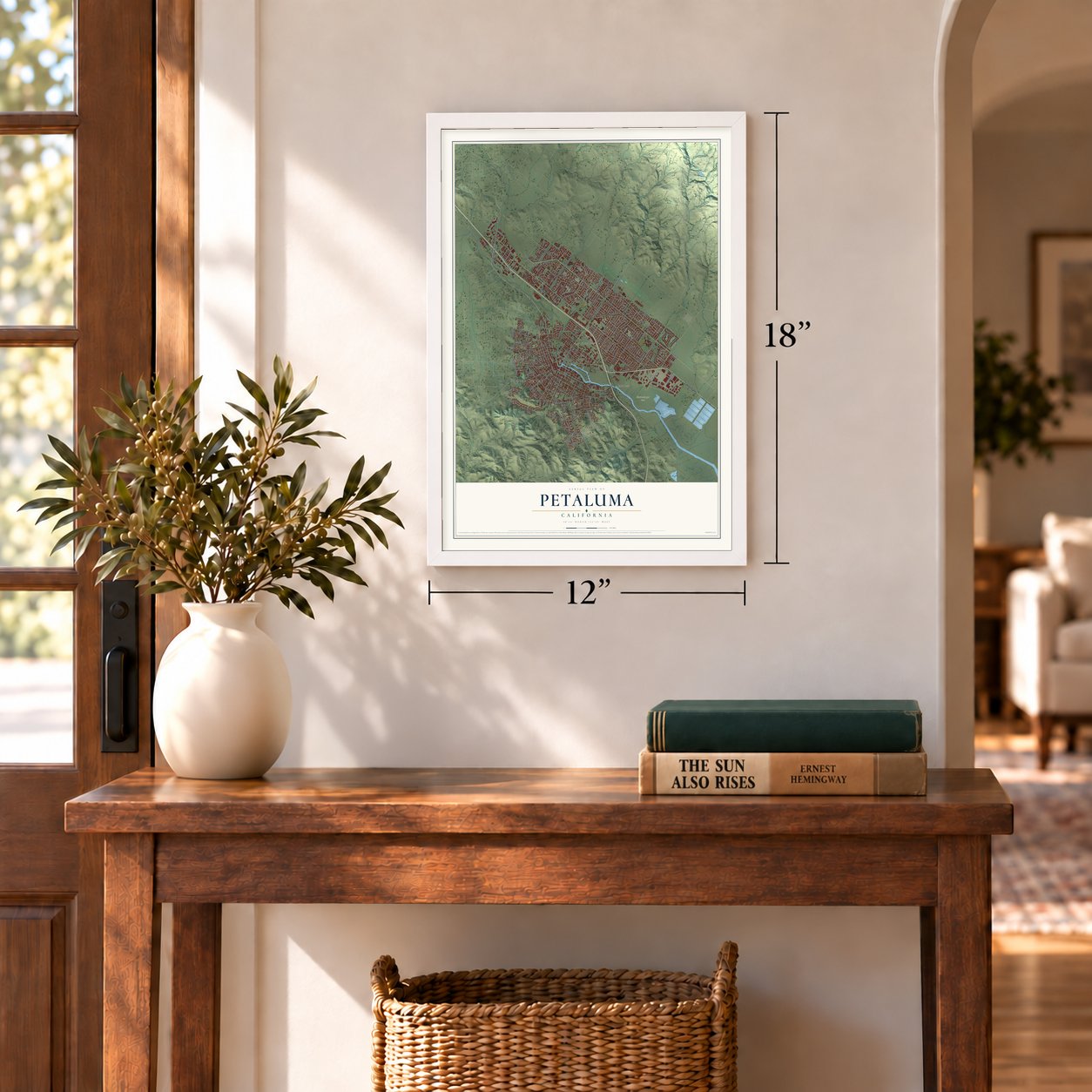
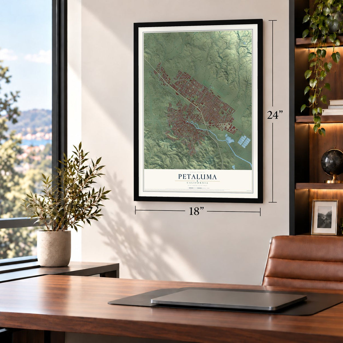
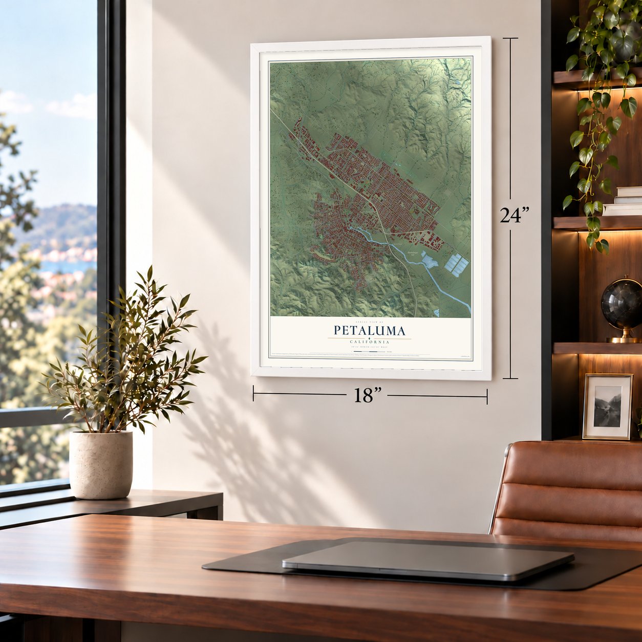
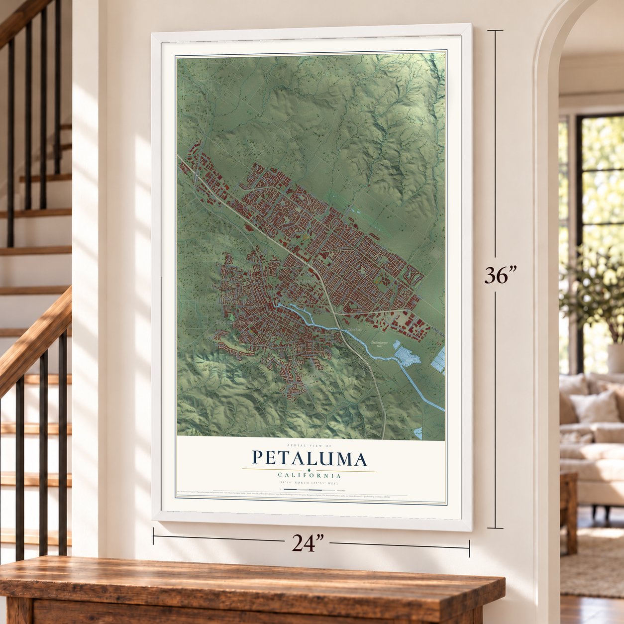
Petaluma, California Map Art
A new map of Petaluma, California, made in 2026 and printed to order on thick archival matte paper.
12" x 18" Archival Matte Print
A Map of Home. A Work of Art.
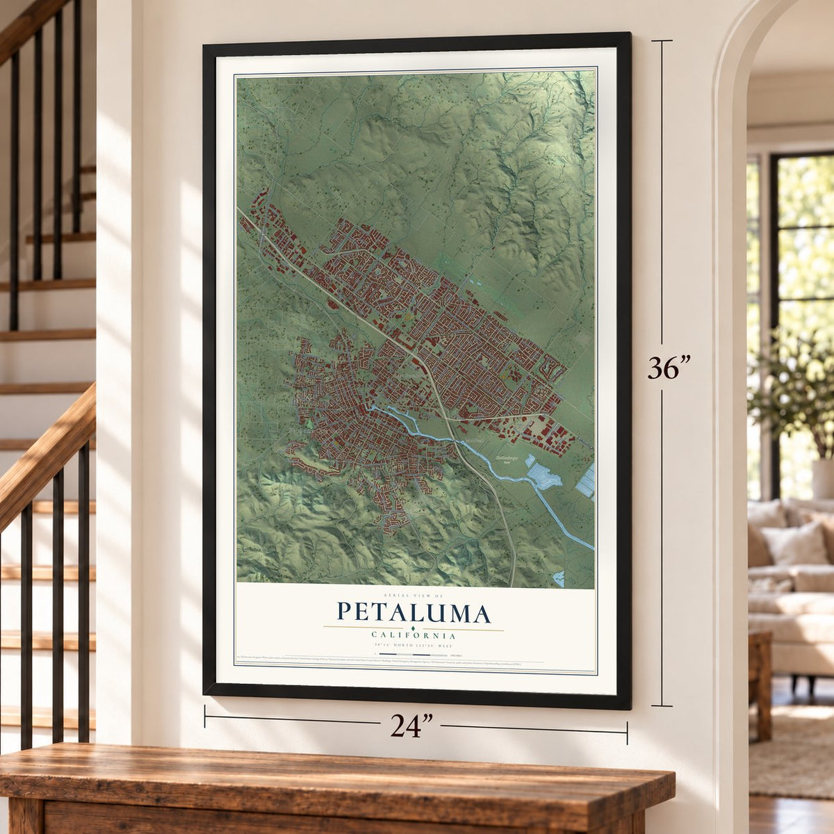
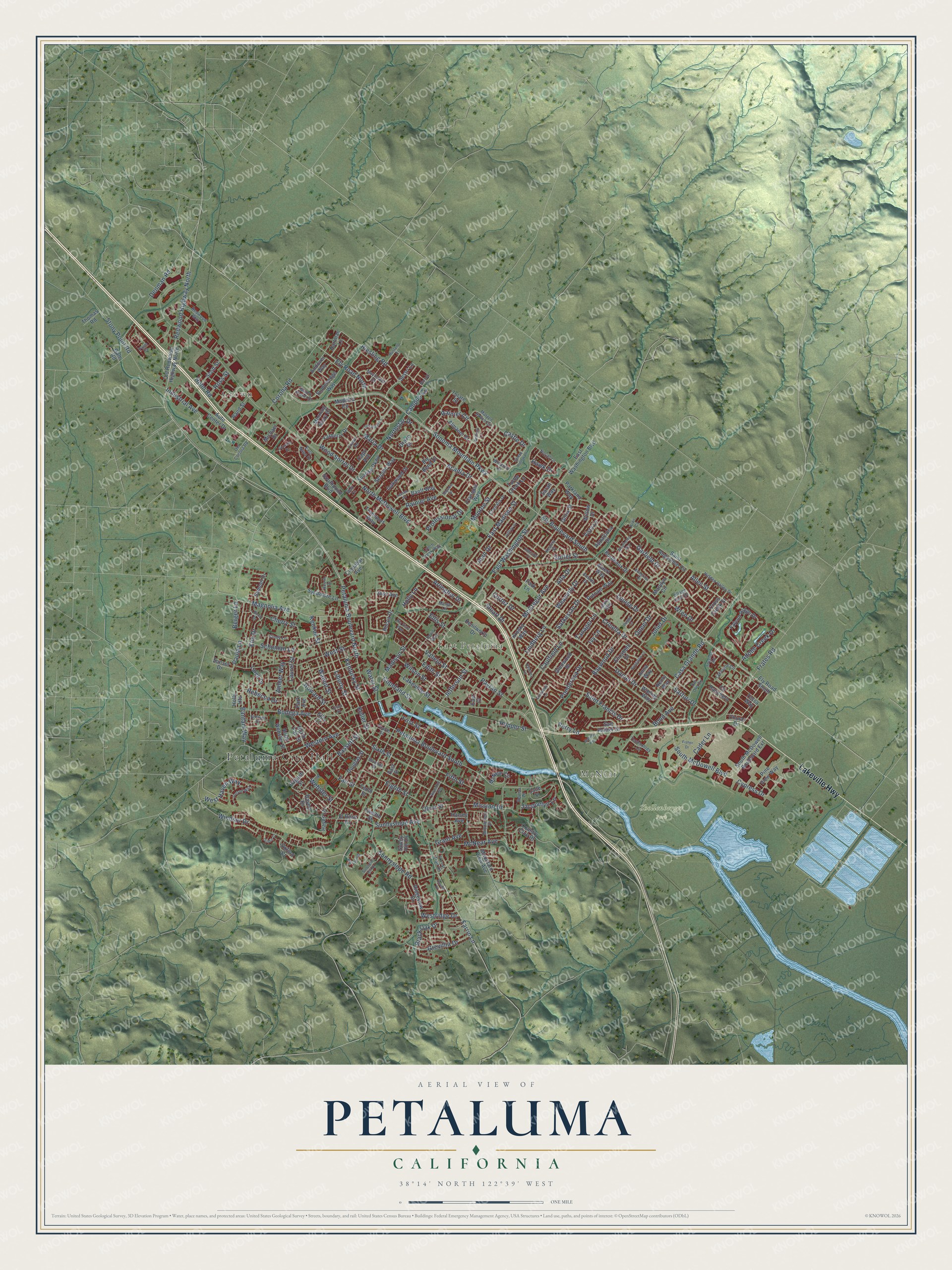
Explore Petaluma, California from a whole new perspective. Created using aerial imagery and detailed geographic data, this map captures Petaluma building by building, with labeled streets, familiar landmarks, and shaded topographical relief that highlights the natural contours of the landscape.
Combining modern data with the timeless character of a vintage atlas, this map is just as interesting up close as it is beautiful on the wall. Whether you grew up in Petaluma, spent memorable years there, or call it home today, this unique map is a great way to celebrate a place that means something to you. Zoom in on the preview to look for your street, and then order a print to put your memories on the wall.
Three ways to hang it
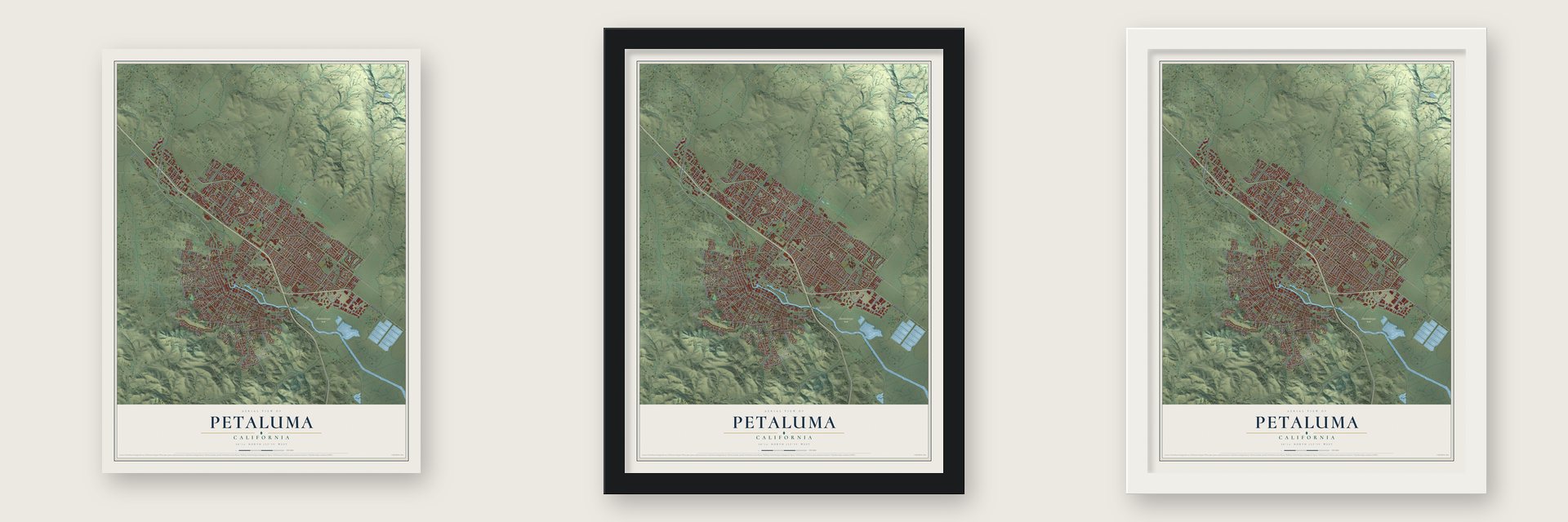
Unframed archival matte, a black wood frame or a white wood frame.
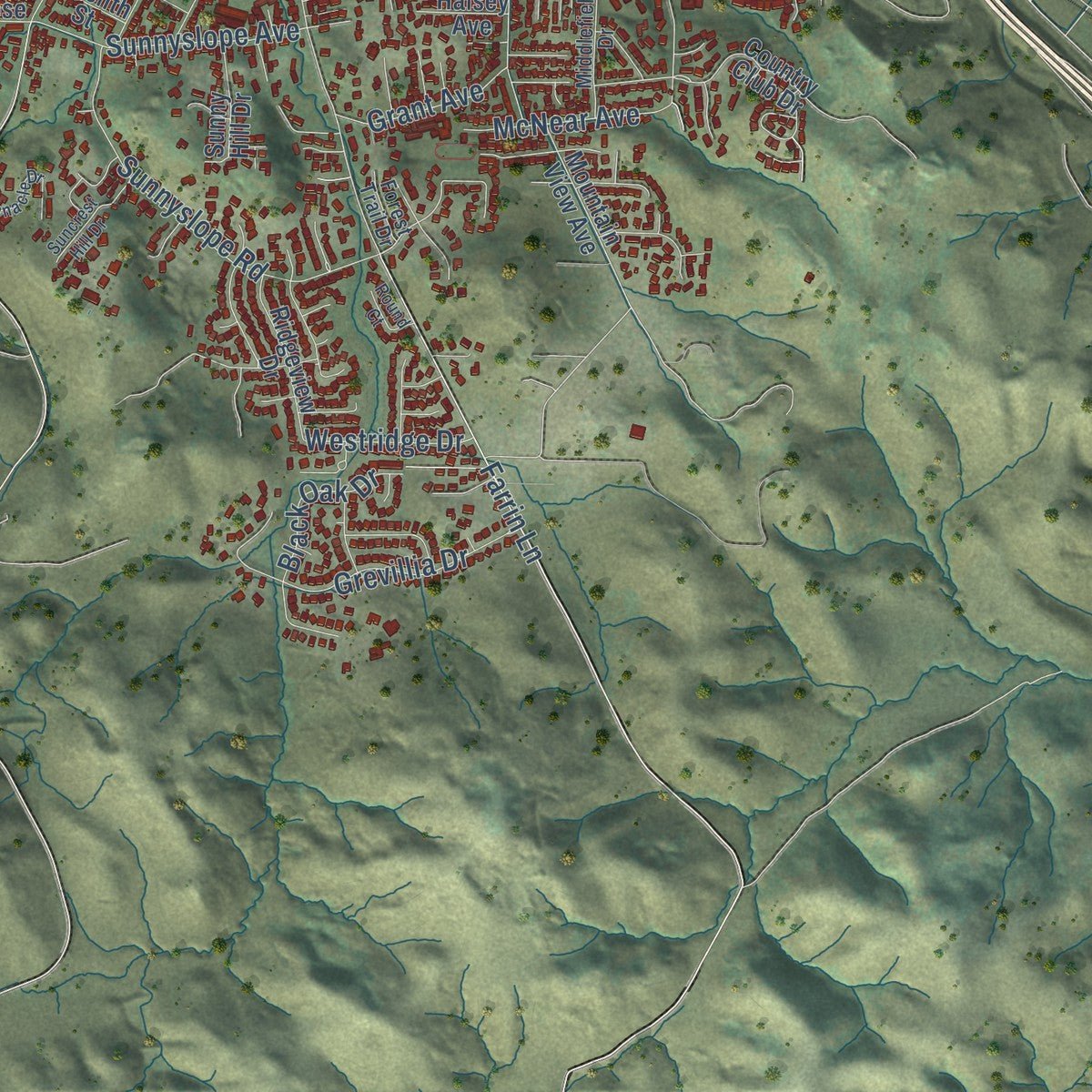
Up close
Geography Worth Displaying
This map was created using accurate cartographic data and authoritative geographic sources, including the U.S. Geological Survey and the Census Bureau. The map brings together terrain, waterways, roads, and building detail. The majority of the streets are labeled, houses are accurately depicted, and the topography is derived from government sources. Combining local data with carefully composed color and shading leads to this beautifully detailed Petaluma artwork for your wall.
Rather than simply showing street outlines, we’ve included as many of the street names as we could reasonably fit on the map while keeping their names legible. Zoom in on the high resolution preview to see exactly what’s on the map. We truly set out to create a statement piece for anyone who loves Petaluma. So whether it’s for you, or a gift for someone you love, we hope this map of Petaluma brings back fond memories.
Read the story behind this map of Petaluma, California from 2026.

About Petaluma, California
Petaluma is a city of 59,776 people in Sonoma County, at the head of navigation on the Petaluma River. Its name comes from Péta Lúuma, a Coast Miwok village east of the river whose name meant "backside of the hill" or "sloping ridge." In 1834 Governor Jose Figueroa granted the 66,000 acres of Rancho Petaluma to Mariano Guadalupe Vallejo, now counted as the city's founder, and in 1836 Vallejo had his adobe ranch house built here.
Vallejo's hold on the region weakened after his arrest in the Bear Flag Revolt of 1846. Once James Marshall found gold in 1848, pioneers from the eastern states began arriving, and the town grew on its river and its farmland. Scow schooners and steamers carried grain, produce and raw materials downriver to San Francisco, which was booming with the Gold Rush.
“The Petaluma Opera House was an imposing, well built edifice of which the town was very proud.”
- Egg Capital of the WorldLyman Byce invented the coal lamp egg incubator in Petaluma in 1879, and the town built its trade on chicken raising and grain milling. It came to be called the Egg Capital of the World, or Chickaluma, and it had the only known drugstore for poultry. The yearly Butter and Eggs Day Festival celebrates that heritage.
- Spared in 1906Solid bedrock kept Petaluma mostly safe in the San Francisco earthquake of April 18, 1906. Because so few nearby towns were still standing, Petaluma became the base for most of the rescue and relief work in Sonoma County. Many buildings from before the quake survive, including Victorian homes west of the river and iron-front stores downtown.
- Airmail on February 18, 1911Fred J. Wiseman made the first official airmail flight that day, carrying a few pieces of mail from Petaluma to Santa Rosa. Among them were letters from the mayor and from the town's postmaster, John E. Olmstead. Wiseman's plane is now in the National Air and Space Museum.
- The Petaluma Plan of 1971After Highway 101 became a freeway, housing permits jumped from 300 in 1969 to 900 in 1971. That year the city capped new building permits at 500 a year for five years starting in 1972 and drew a boundary for growth. The Construction Industry Association sued, but the 9th Circuit upheld the limit in 1975, and in 1976 the Supreme Court declined to hear the case. Most local growth rules in California still rest on that ruling.
Find your street
Names on the Petaluma map
Every name below is printed on this map. Look for your street, your school, the park where you played, or the pond down the road.
Places and landmarks5
- Petaluma City Hall
- Crown
- McNear
- East Petaluma
- Shollenberger Park
Streets and roads257
- Lakeville Highway
- Sonoma Mountain Parkway
- Petaluma Boulevard North
- Ely Boulevard South
- Casa Grande Road
- Garfield Drive
- Riesling Road
- Redwood Highway North
- Ely Road North
- East Washington Street
- Magnolia Avenue
- Bodega Avenue
- Lakeville Street
- Jefferson Street
- Petaluma Boulevard South
- Corona Road
- Ellis Street
- Holly Lane
- Farrin Lane
- Caulfield Lane
- Liberty Street
- Sutter Street
- Howard Street
- Keller Street
- Oneel Drive
- North McDowell Boulevard
- South McDowell Boulevard
- Maria Drive
- Windsor Drive
- Payran Street
Show all 257 streets
- Baywood Drive
- Crinella Drive
- Saint Francis Drive
- Western Avenue
- West Street
- Castle Drive
- Hopper Street
- Sixth Street
- Cherry Street
- Northstar Drive
- Fifth Street
- Daniel Drive
- Frates Road
- Keokuk Street
- Madison Street
- Vallejo Street
- Industrial Avenue
- Rainier Circle
- McNear Avenue
- Sunnyslope Road
- Kentucky Street
- Rainier Avenue
- Lindberg Lane
- Elm Drive
- McGregor Avenue
- Cypress Drive
- Weaverly Drive
- East Madison Street
- Stony Point Road
- Edith Street
- Wilson Street
- Sarkesian Drive
- Wood Sorrel Drive
- Webster Street
- Mission Drive
- Denman Road
- Sunnyslope Avenue
- Acadia Drive
- Campus Circle
- Alta Drive
- Bantam Way
- Bassett Street
- West Haven Way
- Eighth Street
- Black Oak Drive
- Grevillia Drive
- Jacquelyn Lane
- Holm Road
- Fair Street
- Ponderosa Drive
- Paula Lane
- Arlington Drive
- Water Street
- Walnut Street
- First Street
- Schuman Lane
- Adobe Creek Drive
- Sartori Drive
- Bond Avenue
- Joan Drive
- Allen Street
- Copeland Street
- Professional Drive
- Louise Drive
- Olive Street
- Monroe Street
- Stuart Drive
- Wren Drive
- Cader Lane
- Grant Avenue
- Laurel Street
- Rebecca Drive
- Amber Way
- Juliet Drive
- Westridge Drive
- Cortez Drive
- Hawk Drive
- Tanager Lane
- Berger Lane
- Ross Street
- Perry Lane
- Ivy Lane
- Madeira Circle
- Cross Creek Street
- Hartman Lane
- Old Redwood Highway North
- Kenilworth Drive
- Ely Road South
- East Washington Boulevard
- Chinar Drive
- Country Club Drive
- El Rose Drive
- South McDowell Boulevard Extension
- Falcon Ridge Drive
- Mountain View Avenue
- Auto Center Drive
- English Street
- Hayes Lane
- Marylyn Circle
- Saint Augustine Circle
- Park Lane
- San Rafael Drive
- Turtle Creek Lane
- Banff Way
- Willow Drive
- Albert Way
- Southpoint Boulevard
- Bordeaux Drive
- North Webster Street
- Pine View Way
- Gilrix Street
- Transport Way
- Draco Drive
- Rocca Drive
- Kresky Way
- Andover Way
- East Street
- Glenwood Drive
- Yarberry Drive
- Douglas Street
- Jade Street
- Samuel Drive
- Sunrise Parkway
- Tulare Street
- Oakwood Drive
- Sycamore Lane
- Almanor Street
- Ridgeview Drive
- Morning Glory Drive
- Jess Avenue
- McNear Circle
- Stonehenge Way
- Appaloosa Drive
- Larch Drive
- Flanigan Way
- Serpilio Way
- Anna Way
- Capri Avenue
- Vista Lane
- Putnam Way
- Sunny Hill Drive
- Elizabeth Drive
- Parkland Way
- Wieling Way
- Cinnabar Avenue
- Scott Street
- Sunset Drive
- Cll Ranchero
- Rand Street
- Oxford Court
- Tenth Street
- North Fair Street
- Sestri Lane
- Michael Drive
- Thomas Road
- Henry Way
- Halsey Avenue
- Sarah Way
- Big Bend Drive
- Twelfth Street
- Tessa Way
- Gale Road
- Haven Drive
- Holly Heights
- Park Avenue
- East Court
- Ellis Court
- Mauro Pietro Drive
- Lakeville Circle
- Kearny Street
- Fourth Street
- Matzen Ranch Circle
- Seventh Street
- Del Oro Circle
- Redwood Way
- Hidden Valley Drive
- Rovina Lane
- Middlefield Drive
- Cindy Lane
- Chehalis Drive
- Technology Lane
- Village East Drive
- Lynch Creek Way
- East Napa Drive
- Mayflower Street
- Acorn Drive
- Old Corona Road
- Noriel Lane
- Crown Road
- Albin Way
- Doris Way
- Margo Lane
- Windmill Lane
- Forest Trail Drive
- Armida Drive
- Palm Court
- Kiwi Court
- Gumwood Lane
- Ramona Lane
- Jeffrey Drive
- Zinfandel Drive
- Eastside Circle
- Weatherby Way
- Sequoia Drive
- Raymond Heights
- El Paseo Drive
- Bungalow Lane
- Sleepy Hollow Lane
- Selmart Lane
- Iverson Way
- Suncrest Hill Drive
- Pinnacle Drive
- Mustang Court
- Fisher Drive
- Peggy Lane
- Rio Vista Way
- Spyglass Road
- Dublin Court
- Sonoma Drive
- Bluegrass Drive
- Birch Drive
- Lassen Place
- Marina Avenue
- Round Court
- Norfolk Drive
- Union Street
- Walk Circle
Names are listed as they appear on the printed map. Zoom into the product photos to find them.
The art of mapping a place
How This Map Was Made
Real places. Remarkable detail. Discover the layers that turn geographic data into a map of home.

The view from above
Aerial imagery reveals the character of the land: woodland, open fields, and the patterns of a place.

The shape of the land
Elevation data brings hills, valleys, and subtle changes in the landscape into view.

The details of home
Roads, waterways, and building footprints come together to make the map feel unmistakably local.

Geography becomes art
Considered color, shading, and typography bring the layers together in a map made for your wall.


Process illustrated with Mendon, Massachusetts. Aerial imagery: USDA NAIP. Terrain: USGS 3D Elevation Program. Map details and finished artwork: KNOWOL.
The Details
About This Print
Choose an archival matte print, or a black or white Ayous wood frame. The archival matte print is unframed.
Select your size and finish above to see the matching product image and price.
Materials & Craftsmanship
A contemporary map with the character of a classic atlas, printed on archival matte paper. Optional frames are made from Ayous wood.
Your printed map does not include the watermark shown in the full-map preview.
Shipping & Delivery
Free shipping within the United States. Every print is made to order in the USA.
Buying a gift? Add a note in your cart and we'll include it. We never put prices in the package.
Prints ship within 2 to 3 business days. Allow 7 to 10 days total from ordering for delivery. Timing may vary during holidays or periods of high order volume.
Read our shipping policy.
Returns and damaged prints
Each print is made to order. Change-of-mind refunds are not available after production.
If your print arrives damaged, misprinted or incorrect, contact support@knowol.com within 30 days of receiving it. Include your order number, photos and a description of the issue.
Read our full refund and replacement policy. For questions about your order, email support@knowol.com.
Find your town
Looking for another city?
Find a map of home in our California collection, or any town in the country.
Nearby
Maps of towns near Petaluma
Know someone from one of these towns? Their map makes a great gift.
 Penngrove
, California
From $39.99See the map
 Temelec
, California
From $39.99See the map
 Sonoma State University
, California
From $39.99See the map
More maps nearby: Cotati, Rohnert Park, El Verano, Petaluma Center and Boyes Hot Springs.