
Search for another town

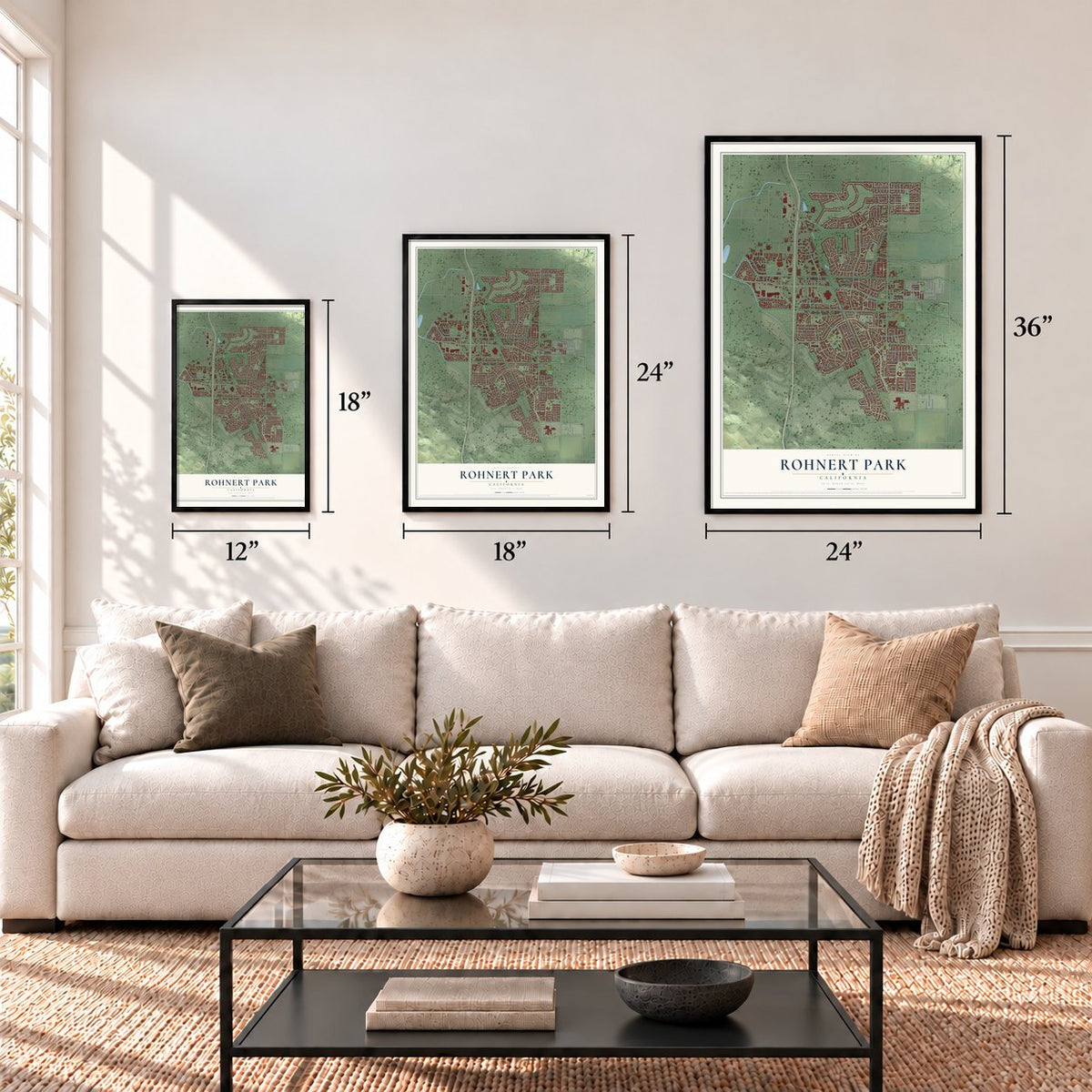
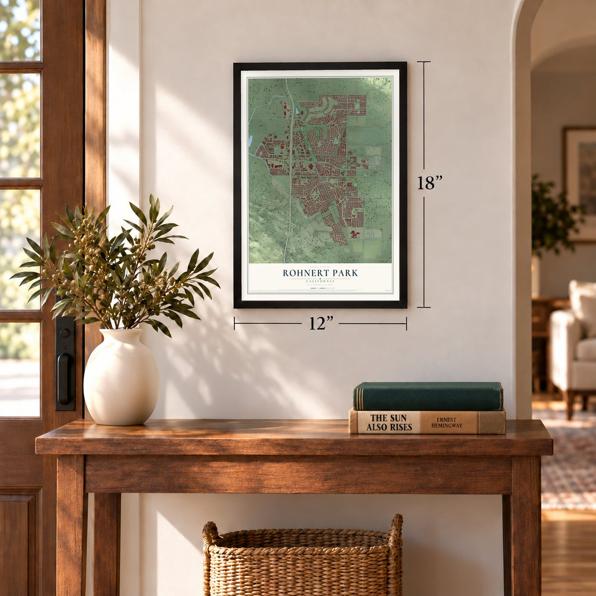
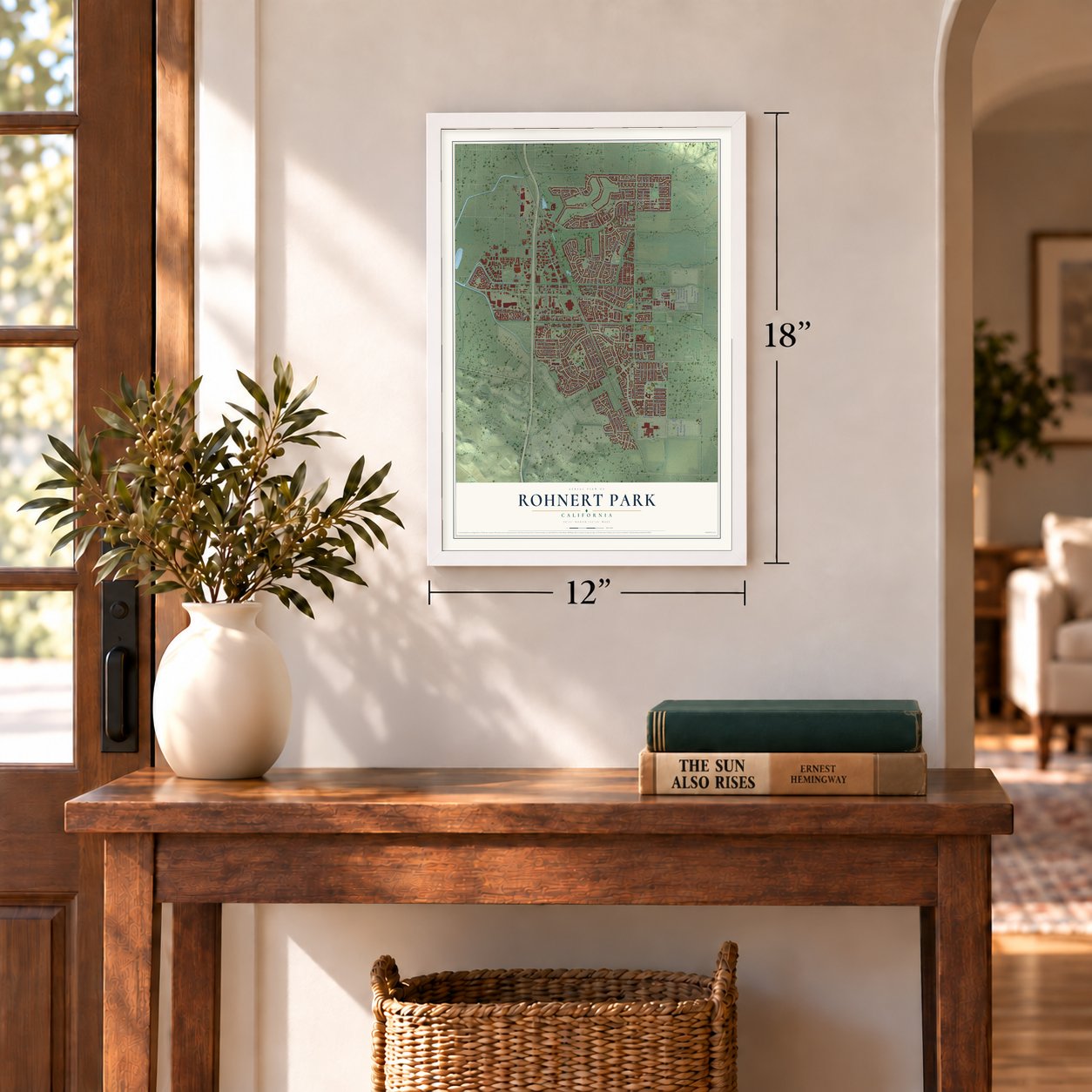
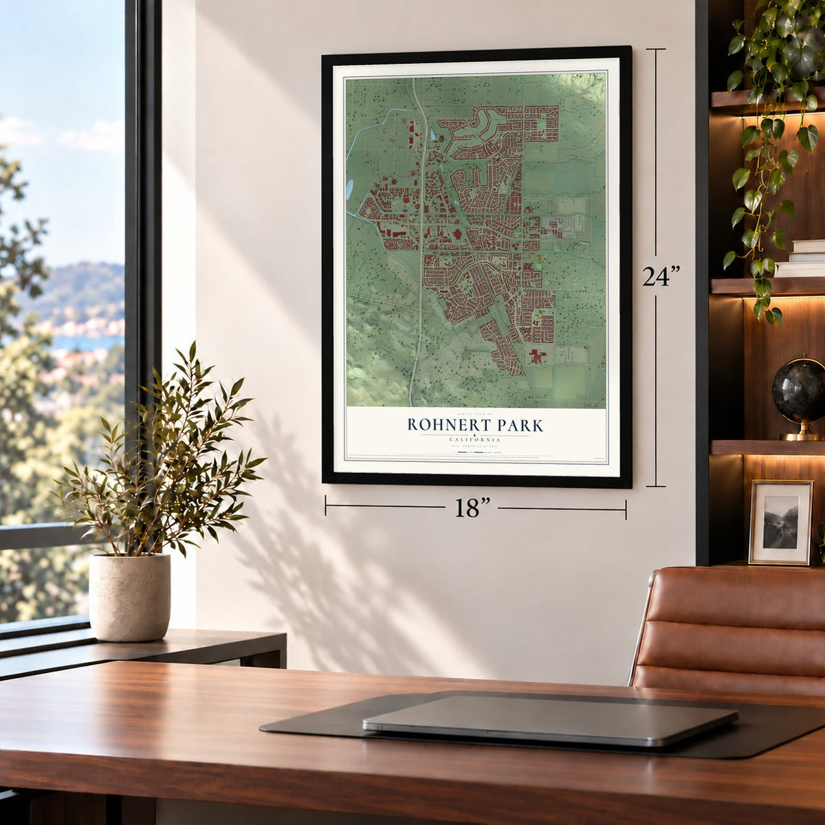


Free U.S. delivery 7 to 10 days after you order
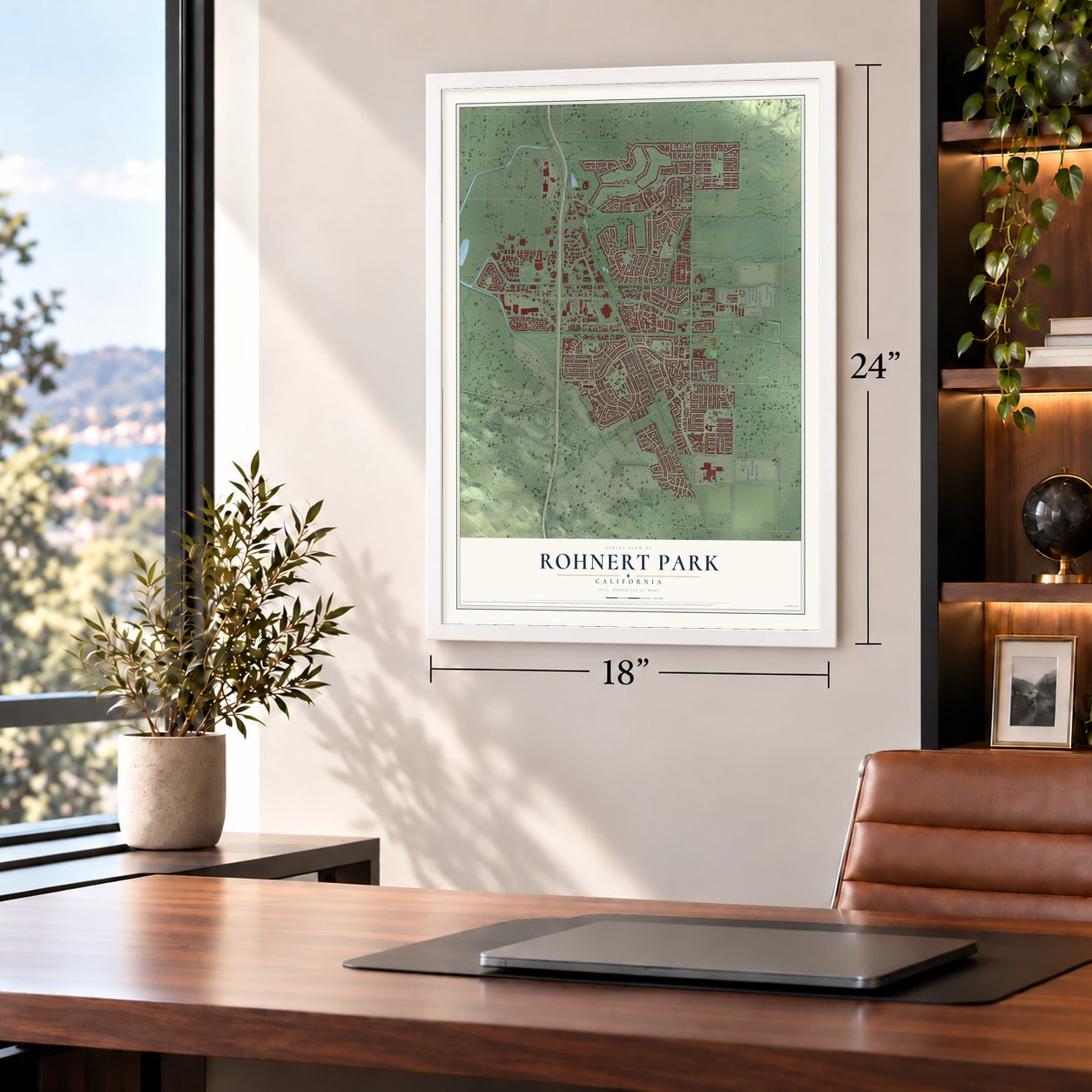
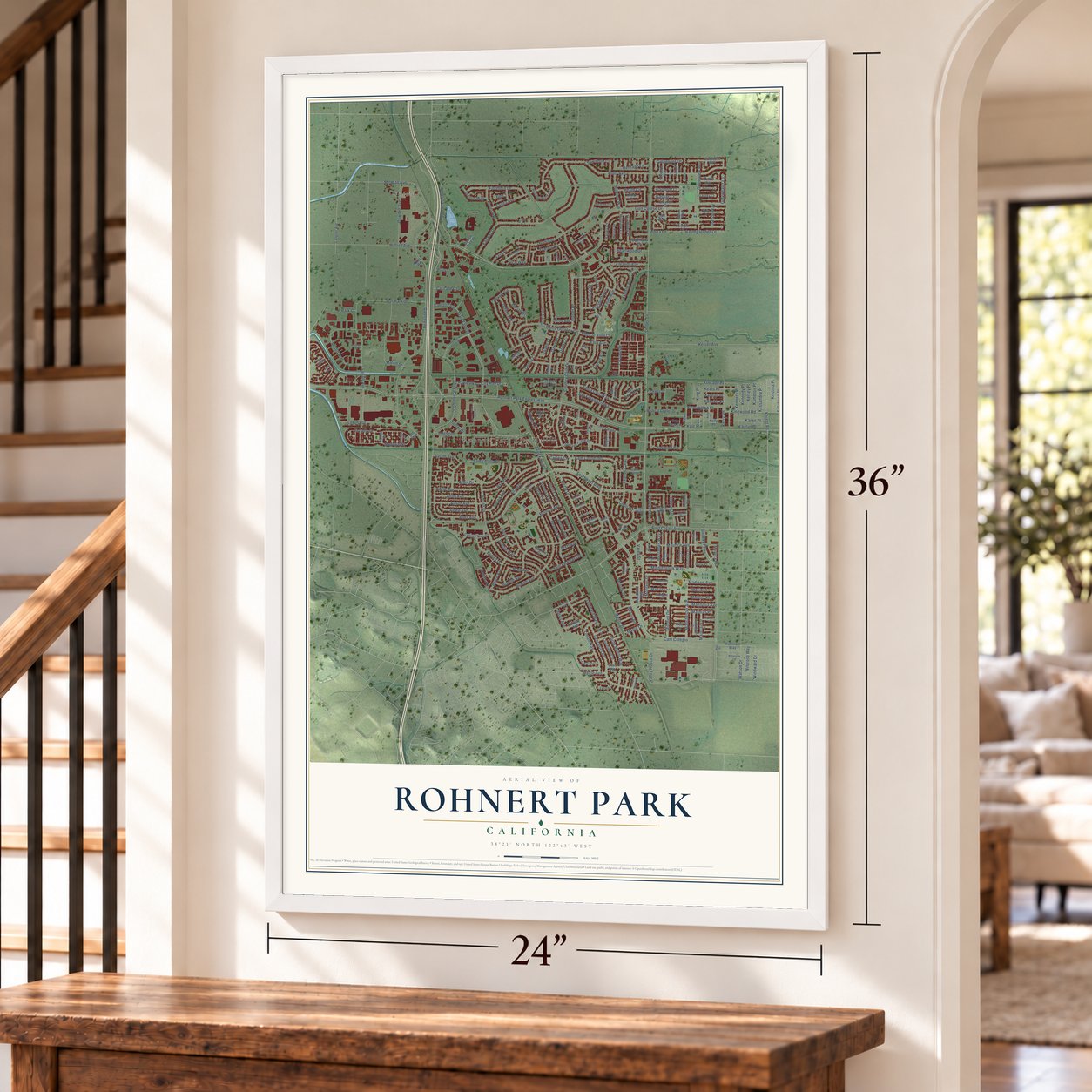
Rohnert Park, California Map Art
A new map of Rohnert Park, California, made in 2026 and printed to order on thick archival matte paper.
12" x 18" Archival Matte Print
A Map of Home. A Work of Art.
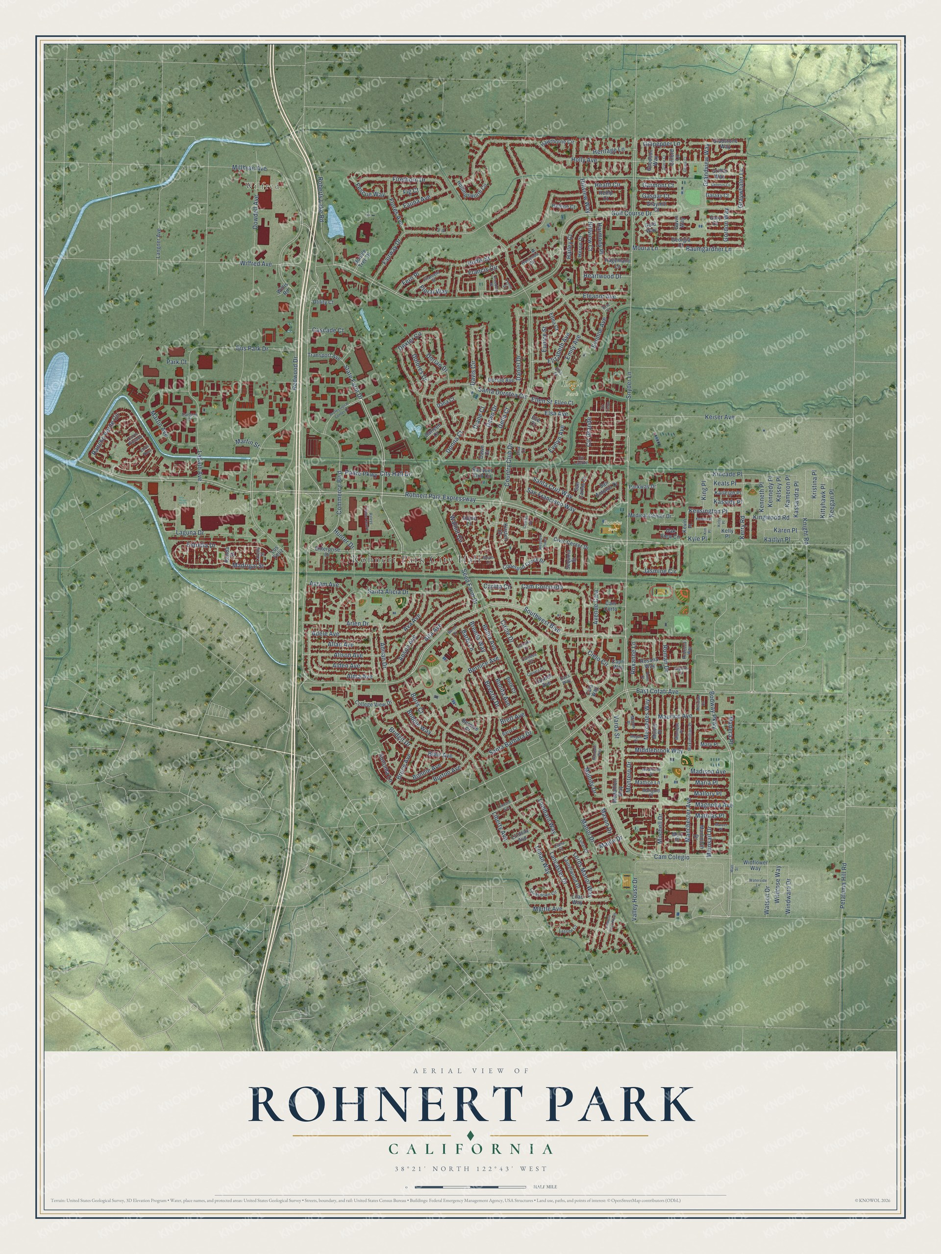
Explore Rohnert Park, California from a whole new perspective. Created using aerial imagery and detailed geographic data, this map captures Rohnert Park building by building, with labeled streets, familiar landmarks, and shaded topographical relief that highlights the natural contours of the landscape.
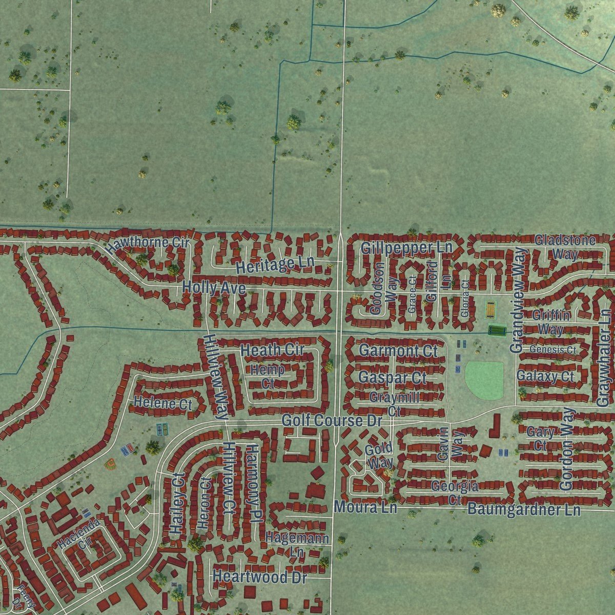
Combining modern data with the timeless character of a vintage atlas, this map is just as interesting up close as it is beautiful on the wall. Whether you grew up in Rohnert Park, spent memorable years there, or call it home today, this unique map is a great way to celebrate a place that means something to you. Zoom in on the preview to look for your street, and then order a print to put your memories on the wall.
Three ways to hang it
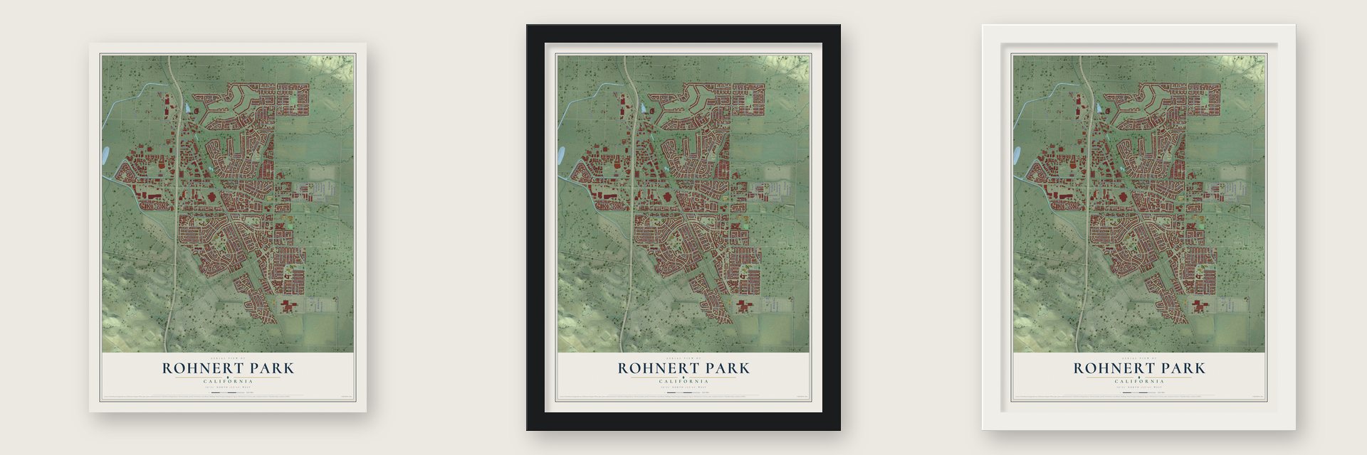
Unframed archival matte, a black wood frame or a white wood frame.
Up close
Geography Worth Displaying
This map was created using accurate cartographic data and authoritative geographic sources, including the U.S. Geological Survey and the Census Bureau. The map brings together terrain, waterways, roads, and building detail. The majority of the streets are labeled, houses are accurately depicted, and the topography is derived from government sources. Combining local data with carefully composed color and shading leads to this beautifully detailed Rohnert Park artwork for your wall.
Rather than simply showing street outlines, we’ve included as many of the street names as we could reasonably fit on the map while keeping their names legible. Zoom in on the high resolution preview to see exactly what’s on the map. We truly set out to create a statement piece for anyone who loves Rohnert Park. So whether it’s for you, or a gift for someone you love, we hope this map of Rohnert Park brings back fond memories.
Read the story behind this map of Rohnert Park, California from 2026.

About Rohnert Park, California
Rohnert Park is a city of 44,390 people in Sonoma County, about 50 miles north of San Francisco. The Coast Miwok lived here first. In July 1844 the Mexican government gave Rancho Cotate to Captain Juan Castaneda as a reward for his army service, and the grant covered what is now Penngrove, Cotati and Rohnert Park. Dr. Thomas S. Page of Cotati bought the rancho in 1849, and over the years it was split up and sold to settlers in pieces.
Only four adults lived inside the district in 1956. The new U.S. Route 101 freeway had just been finished at the Cotati bypass, so builders began laying out Rohnert Park as a planned city in 1956 and 1957. The first homes were done by 1958, and as more families moved in, residents pushed to form a city. They voted to incorporate in a summer election in 1962. The new city covered 1,325 acres and held an estimated 2,775 people, and it was the first Sonoma County town to incorporate since 1905.
- Named for a seed farmWaldo Emerson Rohnert, a businessman from Detroit, bought a large ranch here in 1929 and dug a rough drainage system to keep floods off the fields. He died in 1933. His son Fred, a Stanford Law School graduate, took over and turned the ranch into the Rohnert Seed Farm, one of the county's great growing successes. The city carries the family's name.
- Streets by the letterThe neighborhoods east of Highway 101 are grouped into lettered sections, and most streets and parks take a name that starts with their section's letter. K Section is also called the University District, and W Section is known as Willowglen.
- Fire and police in oneThe Rohnert Park Department of Public Safety, founded in 1962, the year the city formed, runs fire and police service as one department. Only one other city in California works this way.
Find your street
Names on the Rohnert Park map
Every name below is printed on this map. Look for your street, your school, the park where you played, or the pond down the road.
Places and landmarks4
- Rohnert Park City Hall
- Wilfred
- Eagle Park
- Sunrise Park
Streets and roads276
- Snyder Lane
- Southwest Boulevard
- State Farm Drive
- Cír Grande
- Valley House Drive
- Bodway Parkway
- Seed Farm Drive
- Rohnert Park Expressway
- Kyle Place
- East Cotati Avenue
- Knight Road
- Golf Course Drive
- Maurice Avenue
- Commerce Boulevard
- Kensington Place
- Jasmine Circle
- Roberts Lake Road
- Cam Colegio
- Walnut Circle
- Manchester Avenue
- Kincade Place
- Redwood Drive
- Country Club Drive
- Holly Avenue
- Labath Avenue
- Circle Drive
- Fairway Drive
- Burton Avenue
- Dowdell Avenue
- Keiser Avenue
Show all 276 streets
- Lancaster Drive
- Adrian Drive
- Emily Avenue
- Santa Dorotea Circle
- Rancho Verde Circle
- Hudis Street
- Santa Alicia Drive
- Santa Barbara Drive
- Bonnie Avenue
- Mitchell Drive
- Magnolia Avenue
- Santa Cruz Way
- Dexter Circle
- Davis Circle
- Alta Avenue
- Bus Park Drive
- Arlen Drive
- Francis Circle
- Wilfred Avenue
- Martin Avenue
- Cam Coronado
- Baumgardner Lane
- Moura Lane
- Anson Avenue
- Madrigal Street
- Heath Circle
- San Francisco Way
- Beverly Drive
- Eleanor Avenue
- Alma Avenue
- Adele Avenue
- Estrella Drive
- Middlebrook Way
- Dolores Drive
- Firethorn Drive
- City Hall Drive
- Liman Way
- Laguna Drive
- Daniel Drive
- Kingwood Road
- Millbrae Avenue
- Avenue Cala
- Donna Court
- Roman Drive
- Bernice Avenue
- Alison Avenue
- Carlita Circle
- Kaitlyn Place
- Elsa Avenue
- Blair Avenue
- Evonne Avenue
- Lords Manor Way
- Eunice Street
- Kerry Road
- Cielo Circle
- Evelyn Avenue
- Ava Avenue
- Lombard Way
- Floral Way
- Montero Drive
- Grandview Way
- Dorian Drive
- Bridgit Drive
- Alden Avenue
- Allan Avenue
- Heritage Lane
- Hailey Court
- Hunter Drive
- Diane Court
- Roxanne Lane
- Fauna Avenue
- Flores Avenue
- Petaluma Hill Road
- Elizabeth Avenue
- Hillview Way
- Watson Drive
- Boris Court
- Belita Avenue
- Melody Drive
- Dawn Drive
- Wildrose Way
- Mathias Place
- Mercedes Way
- Karen Place
- Bruce Avenue
- Harmony Place
- Windward Drive
- Heartwood Drive
- Bobbie Way
- Keats Place
- Kristina Place
- Avram Avenue
- Gillpepper Lane
- Madison Avenue
- Mason Drive
- Brett Avenue
- Brenda Way
- Padre Parkway
- Barbi Lane
- Fescue Way
- Sonoma Lane
- Kassandra Place
- Kameron Place
- Hillview Court
- Graywhaler Lane
- Kenneth Place
- Mainsail Drive
- Madera Place
- Kelsey Place
- Kennedy Place
- Keegan Place
- Kittyhawk Place
- Myrtle Avenue
- Fern Place
- Bonita Avenue
- King Place
- Cascade Court
- Maria Place
- Manor Drive
- Mallory Place
- Gordon Way
- Varda Street
- Liberty Avenue
- Gaspar Court
- Garmont Court
- Kassidy Place
- Maple Drive
- Martin Street
- Della Court
- Ellen Street
- Park Court
- Fig Court
- Kirsten Court
- Civic Center Drive
- Enterprise Drive
- Kevin Place
- Gold Way
- Oak View Circle
- Transport Avenue
- Kelly Place
- Racquet Club Circle
- Copeland Creek Drive
- Parkway Drive
- Rosana Way
- Hollingsworth Circle
- Gladstone Way
- College View Drive
- Hawthorne Circle
- Medical Center Drive
- Laurelwood Drive
- Mammoth Drive
- Cam Corto
- Monet Place
- Goodson Way
- Georgia Court
- Bernice Court
- Lilac Way
- Beth Court
- Griffin Way
- San Antonio Drive
- Widflower Way
- Langner Avenue
- Lindsay Avenue
- Graymill Court
- Heron Court
- Mattice Lane
- Dorine Avenue
- Gary Court
- Karleigh Place
- Medallion Way
- Gilford Lane
- Sequoia Street
- Gavin Way
- Cornell Avenue
- Hagemann Lane
- Helene Court
- Double Tree Drive
- San Carlos Court
- Galaxy Court
- Edna Court
- Utility Court
- Darleen Court
- Cala Way
- Ellen Court
- Mary Place
- Dana Court
- Hemp Court
- Ronda Street
- Apple Lane
- Capri Way
- Muir Place
- Willis Road
- Dawn Court
- Los Feliz
- Eve Court
- Elsa Court
- Hacienda Circle
- Landsdown Circle
- Maximillian Place
- Filament Street
- Monique Place
- Lunar Court
- Milton Place
- Lassen Court
- Marigold Place
- Laredo Street
- Cír Lacruz
- Rebecca Way
- Ellis Street
- Liana Court
- Carioca Court
- Corte Pintado
- Barry Court
- Carlson Court
- Casa Way
- Eric Court
- Kim Place
- Professional Center Drive
- Regents Circle
- Wall Street
- Raleys Towne Centre
- Meridian Circle
- Baron Drive
- Freedom Place
- Mandolin Way
- Lincoln Avenue
- Rustic Lane
- Genesis Court
- Kirby Place
- Miramonte Place
- Lamont Court North
- Corsica Court
- Feeny Drive
- Waterside Lane
- Calcutta Court
- Meadow Pines
- Ruby Court
- Marcel Place
- Gloria Court
- Grace Court
- Kenton Place
- Megan Place
- Conifer Square
- Corte Rosa
- Cír Tierra
- Fir Court
Names are listed as they appear on the printed map. Zoom into the product photos to find them.
The art of mapping a place
How This Map Was Made
Real places. Remarkable detail. Discover the layers that turn geographic data into a map of home.

The view from above
Aerial imagery reveals the character of the land: woodland, open fields, and the patterns of a place.

The shape of the land
Elevation data brings hills, valleys, and subtle changes in the landscape into view.

The details of home
Roads, waterways, and building footprints come together to make the map feel unmistakably local.

Geography becomes art
Considered color, shading, and typography bring the layers together in a map made for your wall.


Process illustrated with Mendon, Massachusetts. Aerial imagery: USDA NAIP. Terrain: USGS 3D Elevation Program. Map details and finished artwork: KNOWOL.
The Details
About This Print
Choose an archival matte print, or a black or white Ayous wood frame. The archival matte print is unframed.
Select your size and finish above to see the matching product image and price.
Materials & Craftsmanship
A contemporary map with the character of a classic atlas, printed on archival matte paper. Optional frames are made from Ayous wood.
Your printed map does not include the watermark shown in the full-map preview.
Shipping & Delivery
Free shipping within the United States. Every print is made to order in the USA.
Buying a gift? Add a note in your cart and we'll include it. We never put prices in the package.
Prints ship within 2 to 3 business days. Allow 7 to 10 days total from ordering for delivery. Timing may vary during holidays or periods of high order volume.
Read our shipping policy.
Returns and damaged prints
Each print is made to order. Change-of-mind refunds are not available after production.
If your print arrives damaged, misprinted or incorrect, contact support@knowol.com within 30 days of receiving it. Include your order number, photos and a description of the issue.
Read our full refund and replacement policy. For questions about your order, email support@knowol.com.
Find your town
Looking for another city?
Find a map of home in our California collection, or any town in the country.
Nearby
Maps of towns near Rohnert Park
Know someone from one of these towns? Their map makes a great gift.
 Cotati
, California
From $39.99See the map
 Sonoma State University
, California
From $39.99See the map
 Penngrove
, California
From $39.99See the map
More maps nearby: Santa Rosa, Bloomfield, Sebastopol, Petaluma Center and Petaluma.