
Search for another town





Free U.S. delivery 7 to 10 days after you order
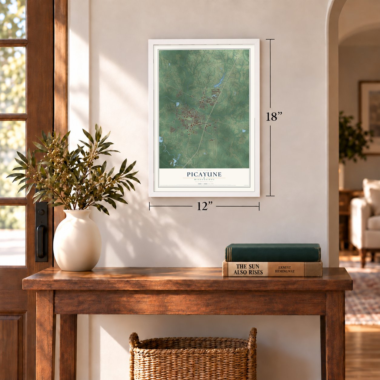
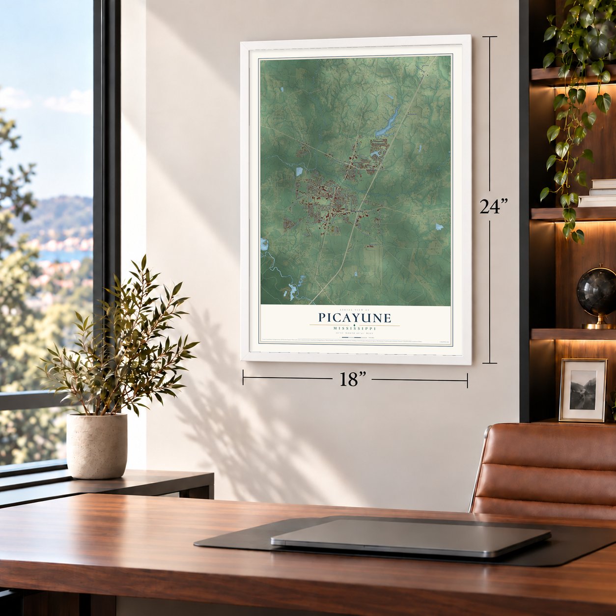
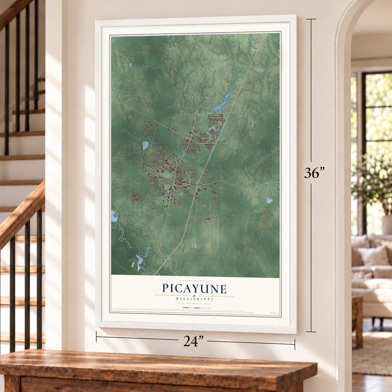
Picayune, Mississippi Map Art
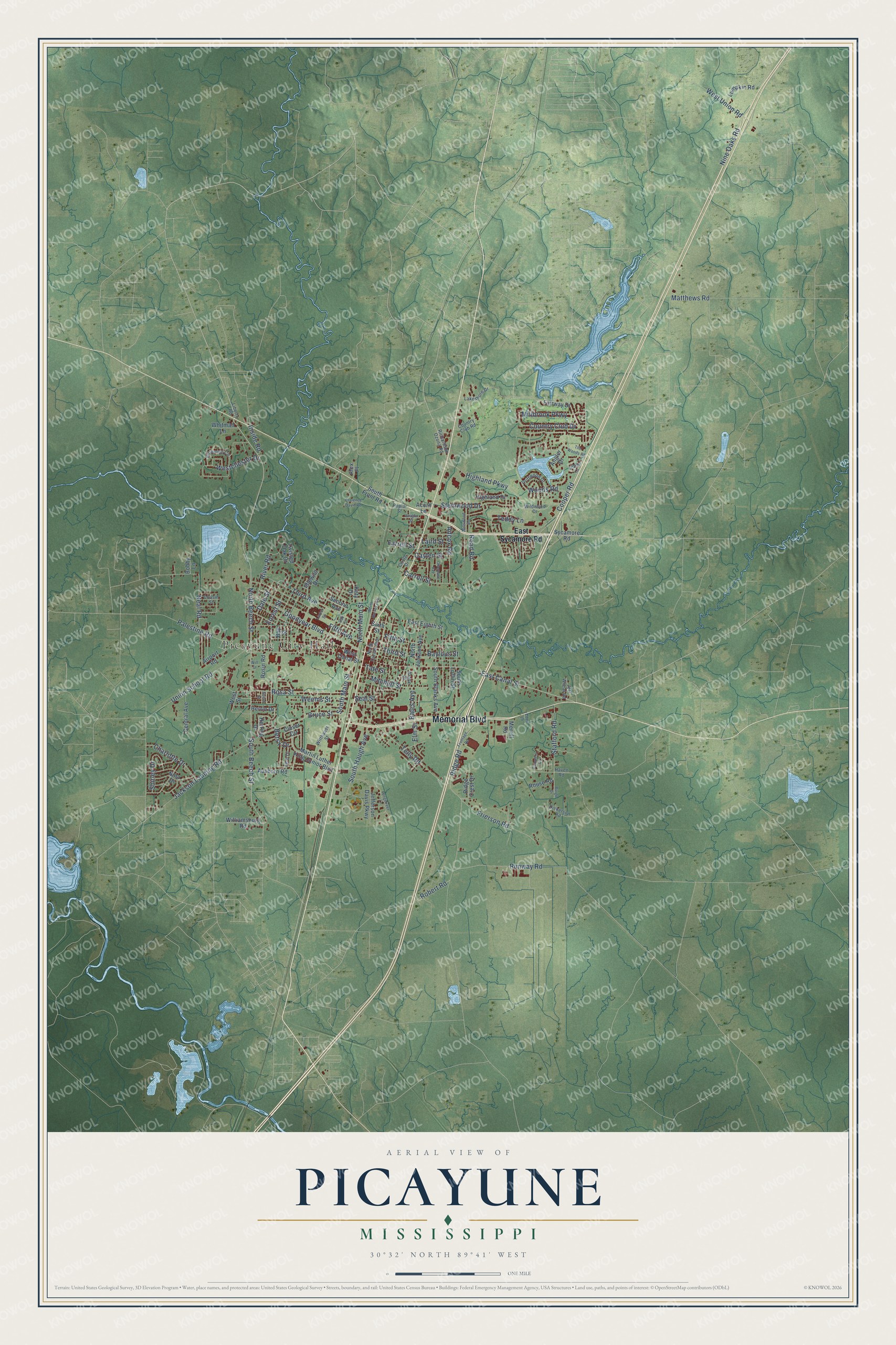
A new map of Picayune, Mississippi, made in 2026 and printed to order on thick archival matte paper.
12" x 18" Archival Matte Print
A Map of Home. A Work of Art.
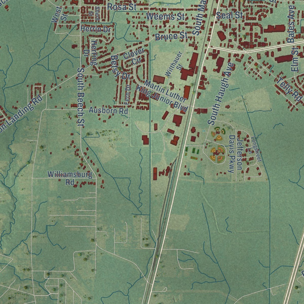
Explore Picayune, Mississippi from a whole new perspective. Created using aerial imagery and detailed geographic data, this map captures Picayune building by building, with labeled streets, familiar landmarks, and shaded topographical relief that highlights the natural contours of the landscape.
Combining modern data with the timeless character of a vintage atlas, this map is just as interesting up close as it is beautiful on the wall. Whether you grew up in Picayune, spent memorable years there, or call it home today, this unique map is a great way to celebrate a place that means something to you. Zoom in on the preview to look for your street, and then order a print to put your memories on the wall.
Three ways to hang it
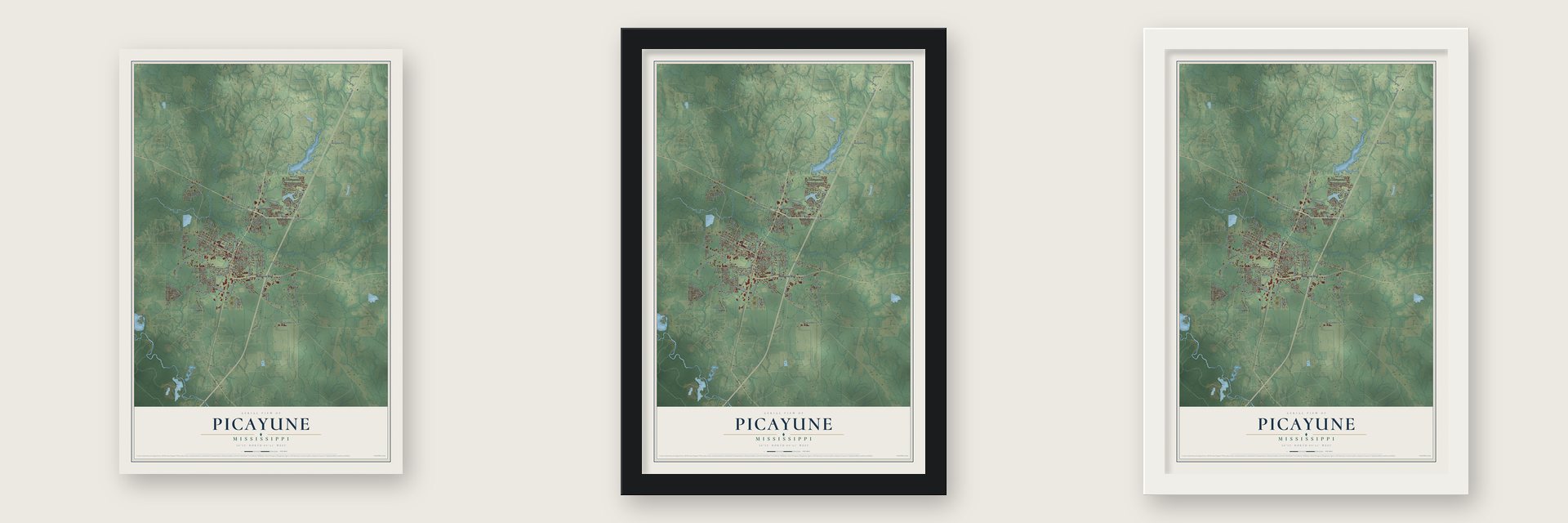
Unframed archival matte, a black wood frame or a white wood frame.
Up close
Geography Worth Displaying
This map was created using accurate cartographic data and authoritative geographic sources, including the U.S. Geological Survey and the Census Bureau. The map brings together terrain, waterways, roads, and building detail. The majority of the streets are labeled, houses are accurately depicted, and the topography is derived from government sources. Combining local data with carefully composed color and shading leads to this beautifully detailed Picayune artwork for your wall.
Rather than simply showing street outlines, we’ve included as many of the street names as we could reasonably fit on the map while keeping their names legible. Zoom in on the high resolution preview to see exactly what’s on the map. We truly set out to create a statement piece for anyone who loves Picayune. So whether it’s for you, or a gift for someone you love, we hope this map of Picayune brings back fond memories.
Read the story behind this map of Picayune, Mississippi from 2026.

About Picayune, Mississippi
Picayune is a city of 11,885 people in Pearl River County, and it is the largest community in the county. Its name comes from the picayune, a small Spanish coin worth 6.25 cents. Eliza Jane Poitevent Nicholson owned and published The Daily Picayune, a newspaper named for that coin, and she gave the town its name in late 1883 or early 1884.
The town grew with the timber trade of South Mississippi's Piney Woods. By 1900 Picayune was the county's biggest community and a railroad hub for the region's lumber business, and it was incorporated in 1904. By 1930 almost 5,000 people lived here. Trains still stop in town, where Amtrak's Crescent makes daily runs in each direction between New Orleans and New York.
- The Crosby timber companyIn 1916 L. O. Crosby Sr. and several partners founded the Goodyear Yellow Pine Company, which made the small Rosa timber mill a major employer. It later became Crosby Forest Products, and Pearl River wood ended up in buildings across the country. The family went on into other businesses and local leadership. Their name is on the Margaret Reed Crosby Memorial Library and the Crosby Arboretum, whose Pinecote Pavilion, by architect E. Fay Jones, opened in the 1980s.
- A post office mural from 1940In 1940 Donald H. Robertson painted a mural called Lumber Region of Mississippi for the Picayune post office. It was one of the federal murals that the Treasury Department commissioned from 1934 to 1943. Later renovations covered the mural with new paint.
- A storekeeper who wroteIn the 1910s S. G. Thigpen Jr. began keeping a store in Picayune. He also wrote stories of country life in Mississippi, later collected in books including Work and Play in Grandpa's Day.
- Noel Polk, born in 1943Noel Polk was born in Picayune in 1943 and became a leading scholar of Eudora Welty and William Faulkner, editing their writing and explaining it to readers. He taught at Mississippi State University and the University of Southern Mississippi. His memoir, Outside the Southern Myth, looks back on his boyhood in Pearl River County.
- A refuge after KatrinaWhen Hurricane Katrina struck, its eye wall passed right over Picayune. The wind tore at roofs, windows and fences, brought down hundreds of trees and left some homes without power for as long as a few weeks. The city still fared better than its neighbors, so many people from the New Orleans area and the Mississippi Gulf Coast moved here for a time, looking for safer homes within an easy drive of work.
Find your street
Names on the Picayune map
Every name below is printed on this map. Look for your street, your school, the park where you played, or the pond down the road.
Places and landmarks1
- Picayune City Hall
Streets and roads125
- Memorial Boulevard
- North Beech Street
- East Canal Street
- South Beech Street
- Fifth Street
- Goodyear Boulevard
- Ridge Road
- Runway Road
- Union School Road
- Jackson Landing Road
- South Haugh Avenue
- Cooper Road
- Palestine Road
- Woods Road
- South Main Street
- Rosa Street
- Telly Road
- Highland Parkway
- Fifth Avenue
- Third Avenue
- Matthews Road
- Neal Road
- Frierson Road
- Stemwood Drive
- Country Club Drive
- Adcox Road
- West Union Road
- Stafford Road
- Mitchell Street
- Read Road
Show all 125 streets
- Millbrook Parkway
- Charlotte Drive
- North Main Street
- Shirley Drive
- Westchester Drive
- Third Street
- Nine Oaks Road
- River Road
- Carroll Street
- Weems Street
- Bruce Street
- Forest Street
- Cayten Street
- Dale Street
- Teddy Lane
- Inside Road
- Robert Road
- Bales Avenue
- Baylous Street
- Farrell Street
- Laird Street
- Seal Street
- Tate Street
- Betsy Drive
- Elm Street
- East Sycamore Road
- West Canal Street
- Sycamore Road
- Herrin Drive
- Martin Luther King Junior Boulevard
- Ausborn Road
- Herring Drive
- Angler Drive
- Jefferson Davis Parkway
- Fairway Drive
- Twisted Oak Drive
- South Blanks Avenue
- North Jackson Avenue
- Nina Drive
- Central Avenue
- Airport Road
- East Eighth Street
- Second Avenue
- South Front Road
- Clover Circle
- Highland Drive
- Lumpkin Road
- Williamsburg Road
- Idlewild Drive
- Ridge Crest Drive
- South Loftin Street
- Whitman Lane
- Rouse Road
- Rosin Road
- Bay Street
- Kety Drive
- Bobby Lane
- Merrill Road
- Acorn Lane
- Alex Place
- Sixth Street
- West Street
- Liberty Road
- Richardson Ozona Road
- Browning Circle
- North Curran Avenue
- Wildwood Drive
- Driftwood Drive
- Circle Drive
- Witthauer Street
- Lakeshore Drive
- Country Club Road
- Dickerson Road
- Jeff Wheat Road
- Fern Drive
- Cousin Street
- Grace Drive
- Poplar Street
- Haven Road
- Campers Cv
- North Harvey Avenue
- Frontage Road
- Longstreet Lane
- Millswood Road
- Oak Street
- Gilcrease Avenue
- Clarence Davis Road
- The Woods Road
- Burge Drive
- Vaughn Street
- Laurel Street
- Scarlet Drive
- Will Street
- Sherd Street
- Eden Lane
Names are listed as they appear on the printed map. Zoom into the product photos to find them.
The art of mapping a place
How This Map Was Made
Real places. Remarkable detail. Discover the layers that turn geographic data into a map of home.

The view from above
Aerial imagery reveals the character of the land: woodland, open fields, and the patterns of a place.

The shape of the land
Elevation data brings hills, valleys, and subtle changes in the landscape into view.

The details of home
Roads, waterways, and building footprints come together to make the map feel unmistakably local.

Geography becomes art
Considered color, shading, and typography bring the layers together in a map made for your wall.


Process illustrated with Mendon, Massachusetts. Aerial imagery: USDA NAIP. Terrain: USGS 3D Elevation Program. Map details and finished artwork: KNOWOL.
The Details
About This Print
Choose an archival matte print, or a black or white Ayous wood frame. The archival matte print is unframed.
Select your size and finish above to see the matching product image and price.
Materials & Craftsmanship
A contemporary map with the character of a classic atlas, printed on archival matte paper. Optional frames are made from Ayous wood.
Your printed map does not include the watermark shown in the full-map preview.
Shipping & Delivery
Free shipping within the United States. Every print is made to order in the USA.
Buying a gift? Add a note in your cart and we'll include it. We never put prices in the package.
Prints ship within 2 to 3 business days. Allow 7 to 10 days total from ordering for delivery. Timing may vary during holidays or periods of high order volume.
Read our shipping policy.
Returns and damaged prints
Each print is made to order. Change-of-mind refunds are not available after production.
If your print arrives damaged, misprinted or incorrect, contact support@knowol.com within 30 days of receiving it. Include your order number, photos and a description of the issue.
Read our full refund and replacement policy. For questions about your order, email support@knowol.com.
Find your town
Looking for another city?
Find a map of home in our Mississippi collection, or any town in the country.
Nearby
Maps of towns near Picayune
Know someone from one of these towns? Their map makes a great gift.
 Nicholson
, Mississippi
From $39.99See the map
 Hide-A-Way Lake
, Mississippi
From $39.99See the map
 Kiln
Kiln, Mississippi
From $39.99See the map
More maps nearby: Pearlington, Diamondhead, Poplarville, Waveland and Bay St. Louis.