
Search for another town




Free U.S. delivery 7 to 10 days after you order
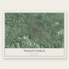
Pigeon Forge, Tennessee Map Art
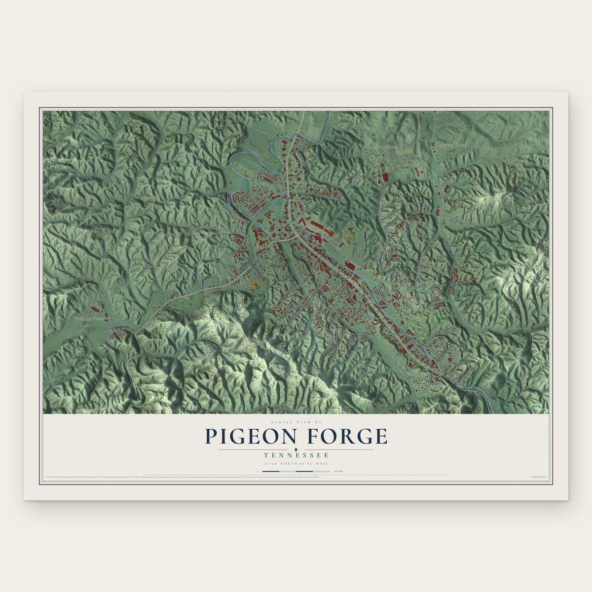
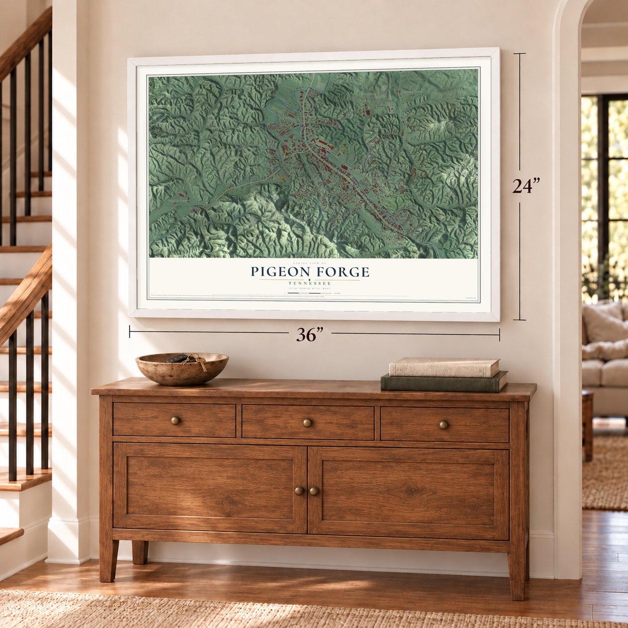
A new map of Pigeon Forge, Tennessee, made in 2026 and printed to order on thick archival matte paper.
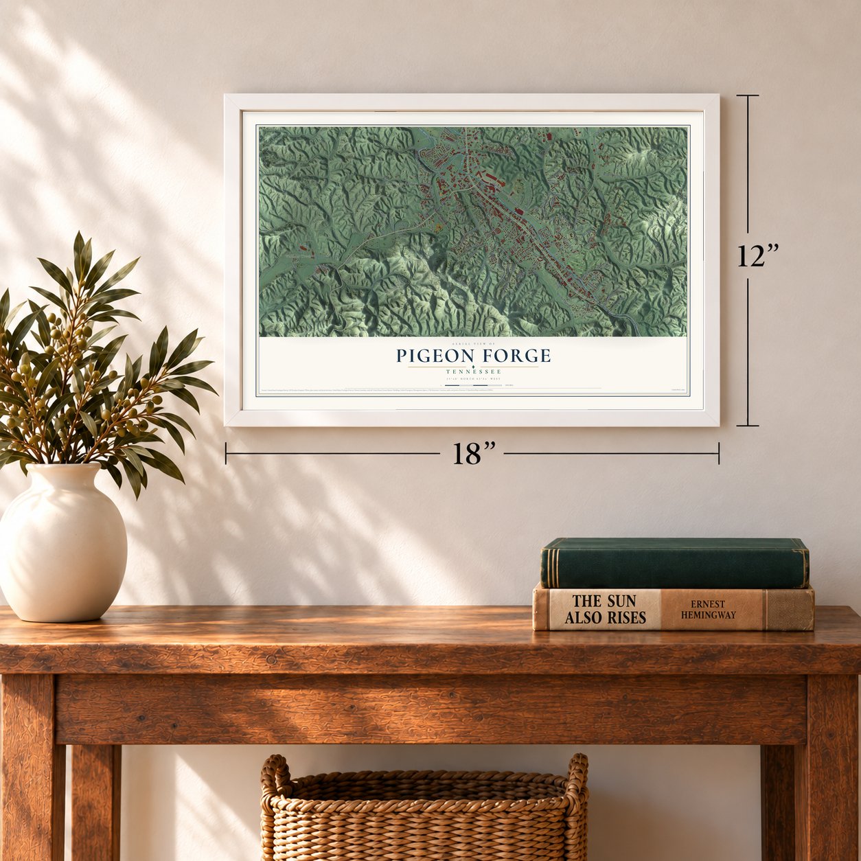
12" x 18" Archival Matte Print
A Map of Home. A Work of Art.
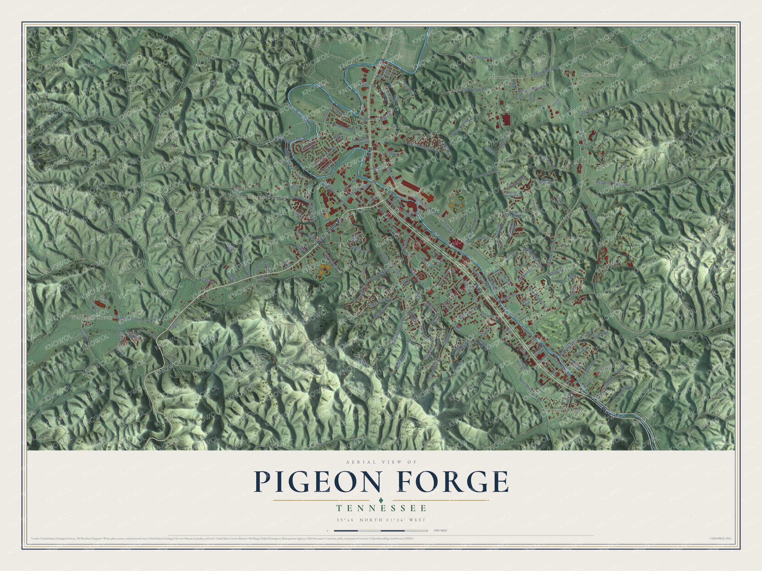
Explore Pigeon Forge, Tennessee from a whole new perspective. Created using aerial imagery and detailed geographic data, this map captures Pigeon Forge building by building, with labeled streets, familiar landmarks, and shaded topographical relief that highlights the natural contours of the landscape.
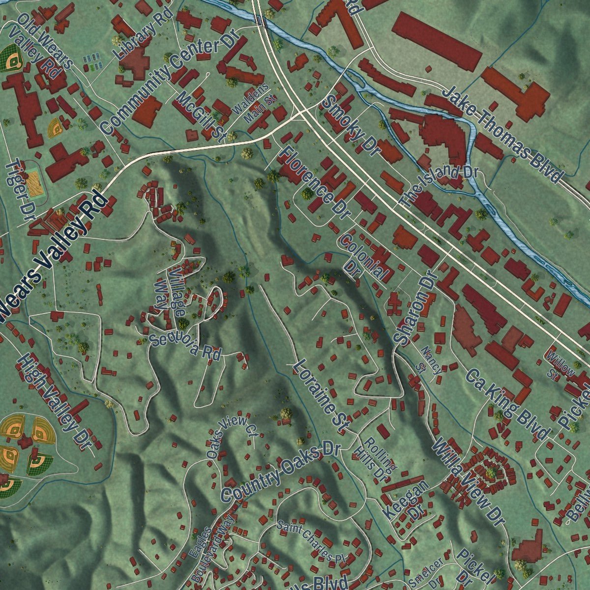
Combining modern data with the timeless character of a vintage atlas, this map is just as interesting up close as it is beautiful on the wall. Whether you grew up in Pigeon Forge, spent memorable years there, or call it home today, this unique map is a great way to celebrate a place that means something to you. Zoom in on the preview to look for your street, and then order a print to put your memories on the wall.
Three ways to hang it
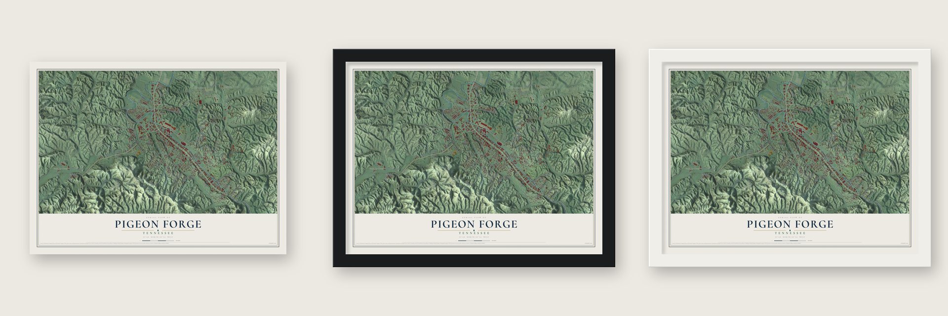
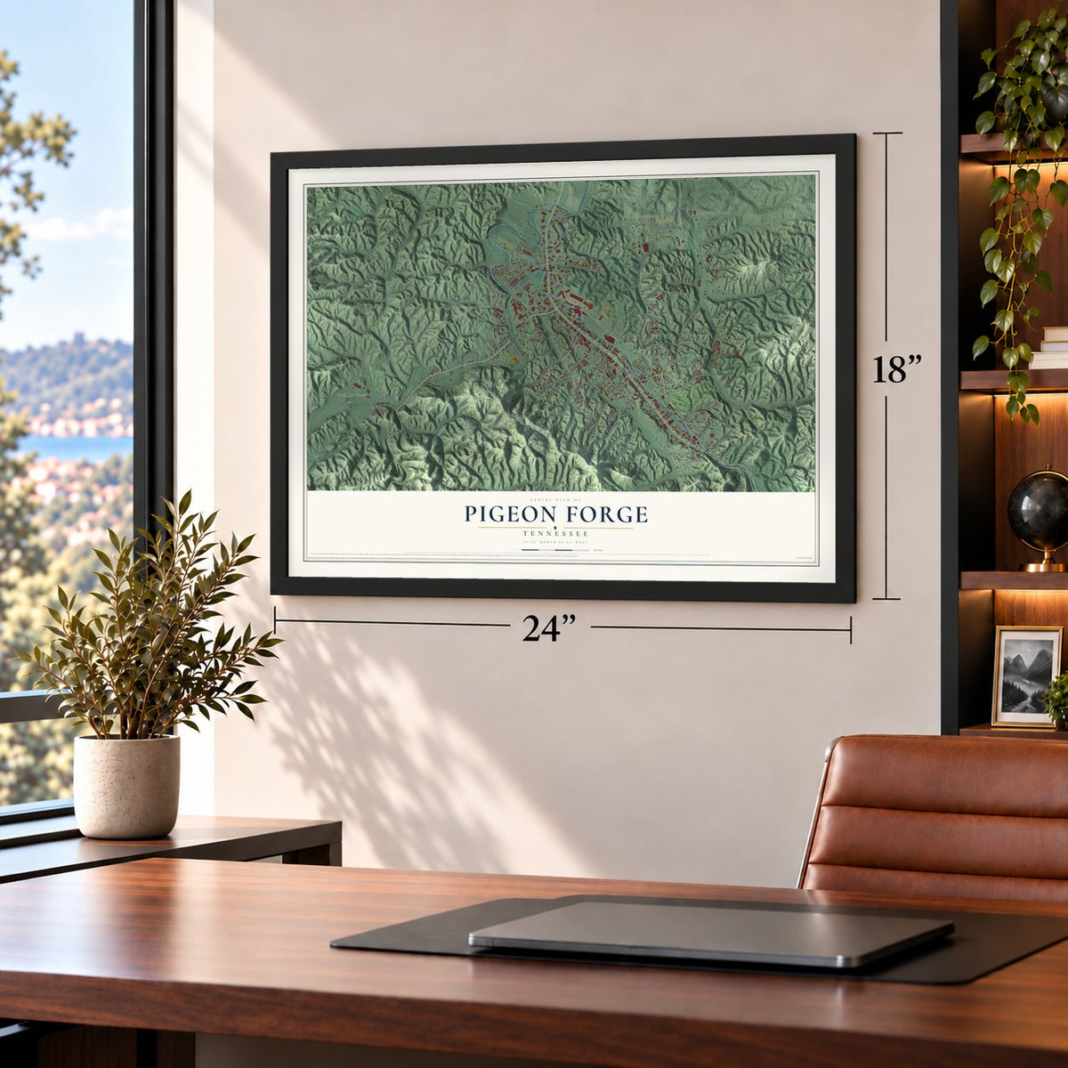
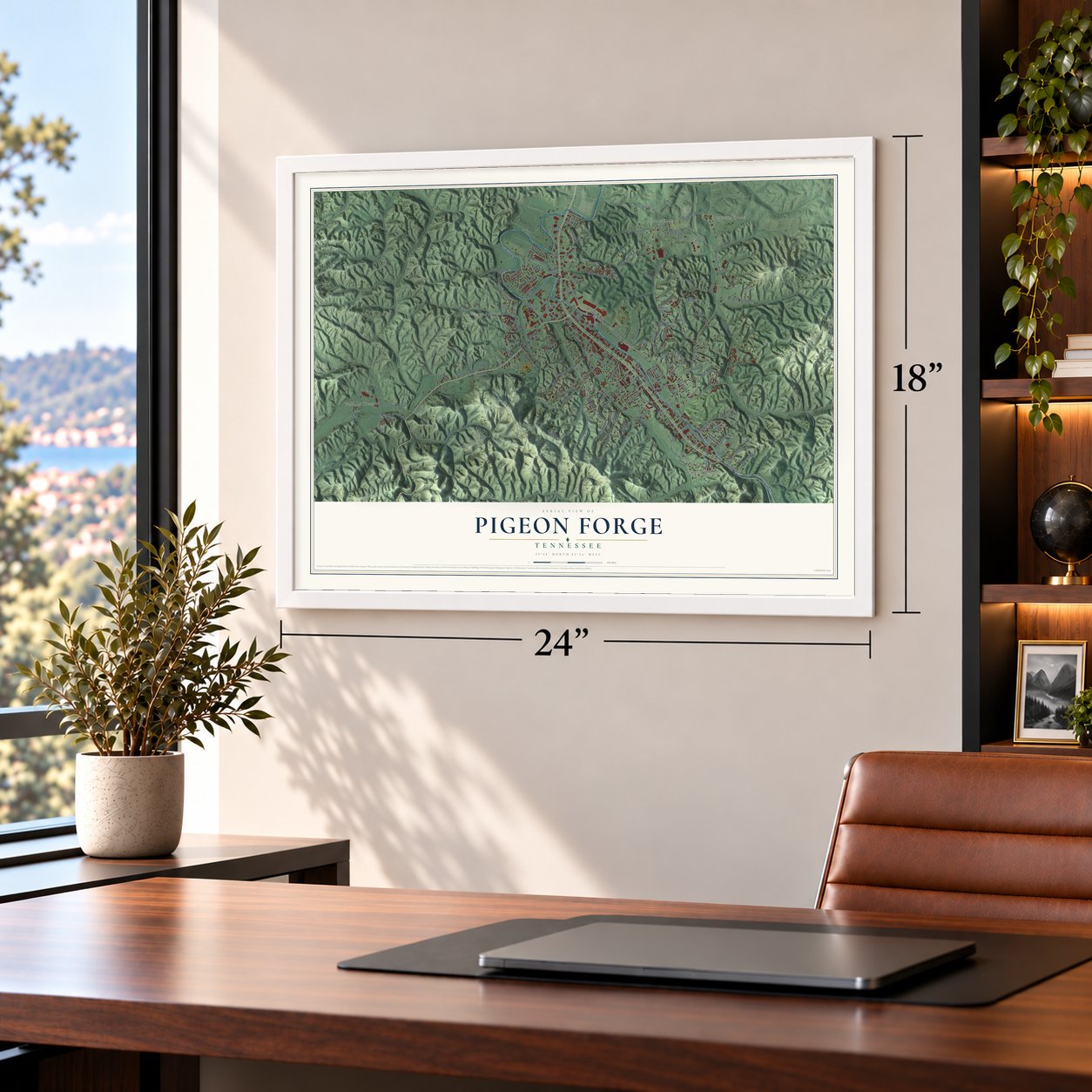
Unframed archival matte, a black wood frame or a white wood frame.
Up close
Geography Worth Displaying
This map was created using accurate cartographic data and authoritative geographic sources, including the U.S. Geological Survey and the Census Bureau. The map brings together terrain, waterways, roads, and building detail. The majority of the streets are labeled, houses are accurately depicted, and the topography is derived from government sources. Combining local data with carefully composed color and shading leads to this beautifully detailed Pigeon Forge artwork for your wall.
Rather than simply showing street outlines, we’ve included as many of the street names as we could reasonably fit on the map while keeping their names legible. Zoom in on the high resolution preview to see exactly what’s on the map. We truly set out to create a statement piece for anyone who loves Pigeon Forge. So whether it’s for you, or a gift for someone you love, we hope this map of Pigeon Forge brings back fond memories.
Read the story behind this map of Pigeon Forge, Tennessee from 2026.
About Pigeon Forge, Tennessee
Pigeon Forge is a city of 6,343 people in Sevier County, in a narrow valley of the West Fork of the Little Pigeon River. The river was named for the passenger pigeons that crowded its banks when settlers came, and the Cherokee had hunted in this valley for centuries. The Wear, Fancher and Lovelady families settled here in the 1780s, when the place was known as the Fanshiers community.
In 1810 Mordecai Lewis, a Revolutionary War veteran, received a 151-acre grant along the river. His son-in-law Isaac Love built an iron forge there in 1817, using a bloomery furnace and a trip hammer driven by water to turn ore into iron bars. Love added a mill in 1830, and on May 29, 1841, his son William opened a post office and called it Pigeon Forge. John Sevier Trotter bought the mill and furnace in 1849 and added a sawmill. The furnace was sold and moved away in the 1880s, but the Old Mill still stands, and it joined the National Register in 1975.
“brought to Goldrush Junction from the New York World's Fair, where it was one of the most successful attractions.”
- Fort Wear in 1792Colonel Samuel Wear, who had fought in the Revolution, built a stockade in 1792 where Walden Creek meets the Little Pigeon, on ground that is now Pigeon Forge City Park. It sat right on the Indian Gap Trail and gave pioneers a safe place to stop. After Cherokee warriors attacked it in 1793, Wear led 60 frontiersmen over the Smokies and destroyed the Cherokee town of Tallassee. He later helped draft Tennessee's state constitution.
- A fort for six familiesRobert Shields, another Revolutionary veteran, got a survey for land here in 1786 and built a fort on Middle Creek, near where Dollywood stands now. His son recalled it as 100 feet long and 16 feet wide, with 12-foot walls of heavy logs. Six families lived inside, sharing a kitchen at one end and a living room at the other. It lay too far from the main trails to ever face a serious attack.
- Bishop Asbury in 1808Circuit riders built a large Methodist following in the valley. Bishop Francis Asbury preached on October 20, 1808, at the spot that became Shiloh Memorial Cemetery, where settlers raised a rough log church. From as early as 1822, revivals held where Middle Creek Methodist Church later stood drew crowds for weeks on end, and those worshippers were the town's first tourists.
- From Rebel Railroad to DollywoodBrothers Grover and Harry Robbins opened Rebel Railroad, a Civil War train ride, in 1961, the year Pigeon Forge incorporated. As interest in the war's centennial faded, they made it Goldrush Junction, a Wild West park, in 1964 and added a log flume in 1967. Cleveland Browns owner Art Modell bought it in 1969 and sold it in 1976 to the Herschend brothers, who renamed it Silver Dollar City. In 1985 Dolly Parton became majority partner, and it became Dollywood.
- Outlet malls from 1982In 1982, hoping to draw visitors from the Knoxville World's Fair, the city launched a plan built on theme parks, outlet malls and live music. Factory Merchants, the first outlet mall, opened that year. Pigeon Forge had four outlet malls by 1987, and by the early 1990s they brought in 44% of the town's gross revenue.
Find your street
Names on the Pigeon Forge map
Every name below is printed on this map. Look for your street, your school, the park where you played, or the pond down the road.
Places and landmarks6
- Waldens Creek
- Middle Creek
- Henderson Springs
- Conner Heights
- Mount Zion
- Pine Grove
Streets and roads178
- Wears Valley Road
- Parkway
- Veterans Boulevard
- Teaster Lane
- Pine Mountain Road
- Henderson Road
- Cole Drive
- Plaza Way
- Two View Road
- Ridge Road
- Dollywood Lane
- Middle Creek Road
- Sugar Hollow Road
- Ogle Drive
- Kings Hills Boulevard
- South River Road
- Henderson Springs Road
- Waldens Creek Road
- Goldrush Road
- Monte Wood Circle
- Jake Thomas Boulevard
- Sharon Drive
- Ranmoor Way
- West Mill Creek Road
- Rena Street
- Sharp Hollow Road
- Rainbow Road
- Iron Mountain Road
- Country Oaks Drive
- Hickory Drive
Show all 178 streets
- Davis Road
- McMahan Road
- Cain Hollow Road
- Center View Road
- Alpine Village Way
- McCarter Hollow Road
- Jake Thomas Road
- Florence Drive
- Battle Hill Road
- Willa View Drive
- Tiger Drive
- Spring Valley Road
- Loraine Street
- North River Road
- Whaley Drive
- McMahan Hollow Road
- Old Gate Road
- Community Center Drive
- Householder Street
- Glenn Huskey Road
- High Valley Drive
- South Asbury Road
- Old Mill Avenue
- Mountain View Street
- Fenway Drive
- Troy Drive
- Plaza Drive
- Cates Lane
- Smoky Drive
- Oldham Street
- Pickel Street
- Gold Dust Drive
- Ca King Boulevard
- Jayell Road
- Music Road
- Old Mill Street
- Trotter Way
- Lazy Lane
- Evans Road
- Estate Street
- Hillis Drive
- Easy Street
- Mill Street
- Conner Drive
- Mountain Lodge Way
- Clintwood Way
- Sequoia Road
- Old Wears Valley Road
- Forge Hideaway Road
- Pinyon Circle
- Henderson Chapel Road
- Sunrise Ridge Road
- Riverbend Loop
- Highland Park Drive
- Plantation Drive
- Pine Peak Way
- Center Road
- Arrow Wood Way
- Rolen Hollow Road
- Scenic Loop Road
- Forest Drive
- Keegan Drive
- Lost Branch Road
- Chapel Way
- Hitching Post Road
- Conrad Way
- West Gold Dust Drive
- Golden Circle Drive
- Old Valley Road
- Scenic Hills Road
- Little Valley Road
- Forge Street
- Asbury Road
- Emert Street
- River Divide Road
- Red Oak Drive
- Library Road
- Mr Marshall Drive
- The Island Drive
- Bellwood Avenue
- Tinker Hollow Road
- Foothills Road
- Laurel Crest Drive
- Brook Stone Way
- Colonial Drive
- McGill Street
- Heritage Hills Drive
- Dixie Avenue
- Day Spring Road
- Pickel Drive
- Hill Avenue
- Village Way
- Duggan Street
- Priscilla Lane
- Choctaw Hill Way
- Conner Lane
- Golf Drive
- Walker Way
- Golf Road
- Wear Lane
- Sunset Drive
- Merlin Way
- Smith Lane
- Russie Gap Road
- Lona Drive
- Progress Hill Boulevard
- Alpine Mountain Way
- Butler Street
- Round Top Road
- Oaks View Court
- Bohanan Drive
- Glen Eden Way
- Music Mountain Drive
- McMakin Lane
- Christmas Tree Lane
- Ashley Avenue
- East Mill Creek Road
- Rolling Hills Drive
- White Cap Lane
- Jehu Street
- Clabo Way
- Eagles Boulevard Way
- Forge Hideaway Loop
- Iron Circle Drive
- Applewood Road
- Dogwood Circle
- Valley Drive
- Indiana Avenue
- Battle Ground Drive
- Lloyd Huskey Road
- Parlin Drive
- Charlottes Court
- Mary Ridge Farm Road
- Mullendore Lane
- Saint Charles Place
- Willow Street
- Laurel Crest Lane
- Silver Pine Way
- Peggy Lane
- Honeymoon Garden Way
- Waldens Main Street
- Mount Zion Street
- Shirley Avenue
- Nancy Street
- Smelcer Drive
- Myers Street
- Joshua Lane
- Autumn Lane
Names are listed as they appear on the printed map. Zoom into the product photos to find them.
The art of mapping a place
How This Map Was Made
Real places. Remarkable detail. Discover the layers that turn geographic data into a map of home.

The view from above
Aerial imagery reveals the character of the land: woodland, open fields, and the patterns of a place.

The shape of the land
Elevation data brings hills, valleys, and subtle changes in the landscape into view.

The details of home
Roads, waterways, and building footprints come together to make the map feel unmistakably local.

Geography becomes art
Considered color, shading, and typography bring the layers together in a map made for your wall.


Process illustrated with Mendon, Massachusetts. Aerial imagery: USDA NAIP. Terrain: USGS 3D Elevation Program. Map details and finished artwork: KNOWOL.
The Details
About This Print
Choose an archival matte print, or a black or white Ayous wood frame. The archival matte print is unframed.
Select your size and finish above to see the matching product image and price.
Materials & Craftsmanship
A contemporary map with the character of a classic atlas, printed on archival matte paper. Optional frames are made from Ayous wood.
Your printed map does not include the watermark shown in the full-map preview.
Shipping & Delivery
Free shipping within the United States. Every print is made to order in the USA.
Buying a gift? Add a note in your cart and we'll include it. We never put prices in the package.
Prints ship within 2 to 3 business days. Allow 7 to 10 days total from ordering for delivery. Timing may vary during holidays or periods of high order volume.
Read our shipping policy.
Returns and damaged prints
Each print is made to order. Change-of-mind refunds are not available after production.
If your print arrives damaged, misprinted or incorrect, contact support@knowol.com within 30 days of receiving it. Include your order number, photos and a description of the issue.
Read our full refund and replacement policy. For questions about your order, email support@knowol.com.
Find your town
Looking for another city?
Find a map of home in our Tennessee collection, or any town in the country.
Nearby
Maps of towns near Pigeon Forge
Know someone from one of these towns? Their map makes a great gift.
 Gatlinburg
, Tennessee
From $39.99See the map
 Sevierville
, Tennessee
From $39.99See the map
 Pittman Center
, Tennessee
From $39.99See the map
More maps nearby: Fairgarden, Seymour, Townsend, Walland and Wildwood.