
Search for another town




Free U.S. delivery 7 to 10 days after you order
Pine Bluff, Arkansas Map Art
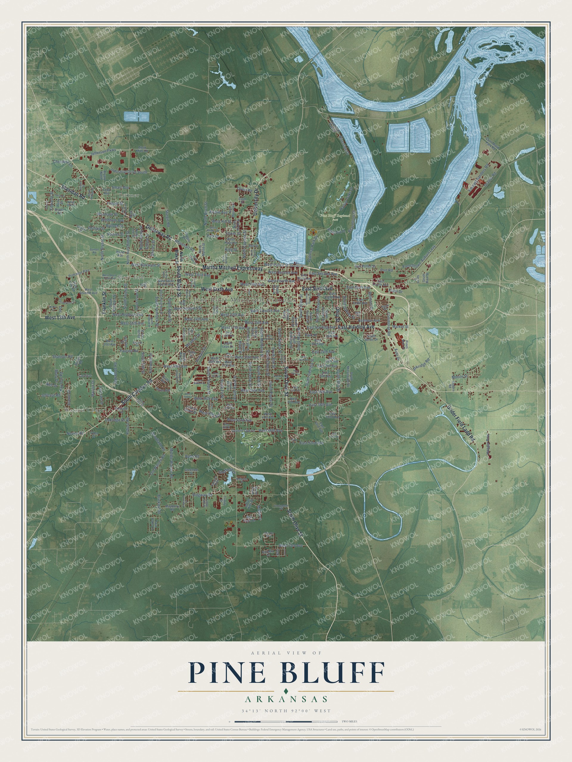
A new map of Pine Bluff, Arkansas, made in 2026 and printed to order on thick archival matte paper.
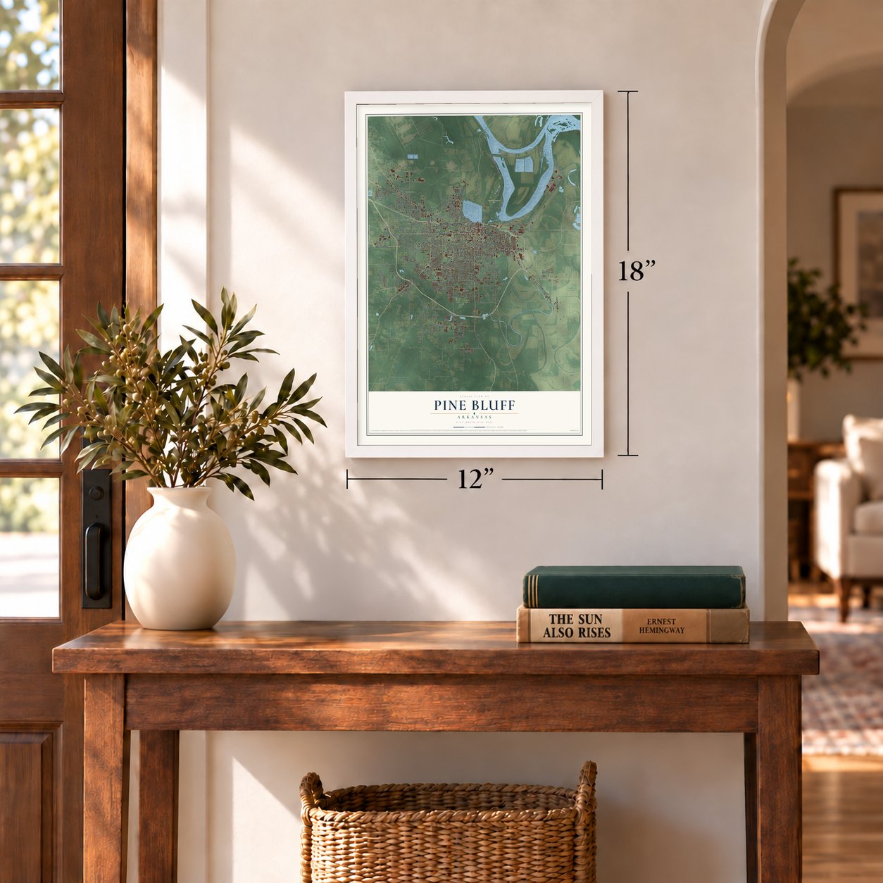
12" x 18" Archival Matte Print
A Map of Home. A Work of Art.
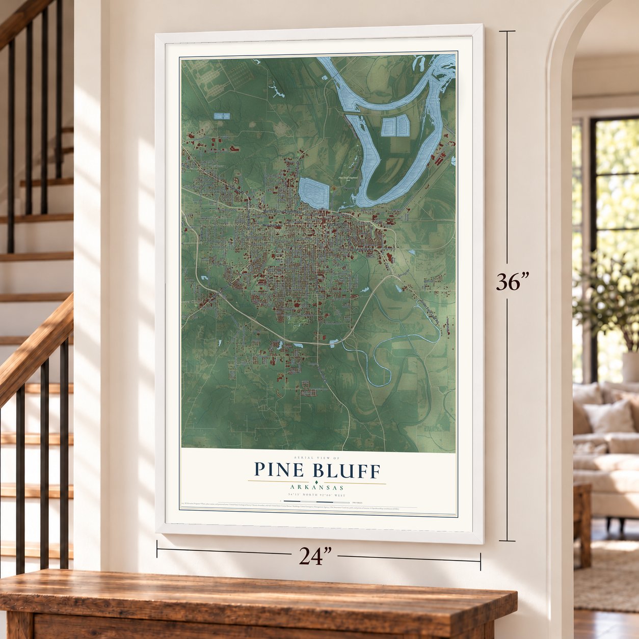
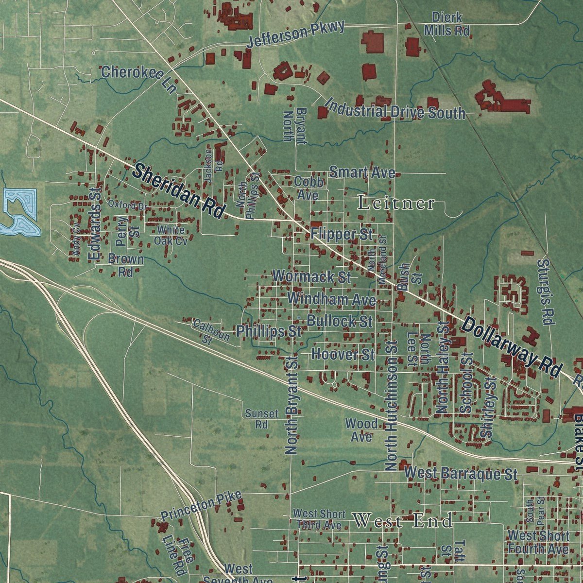
Explore Pine Bluff, Arkansas from a whole new perspective. Created using aerial imagery and detailed geographic data, this map captures Pine Bluff building by building, with labeled streets, familiar landmarks, and shaded topographical relief that highlights the natural contours of the landscape.
Combining modern data with the timeless character of a vintage atlas, this map is just as interesting up close as it is beautiful on the wall. Whether you grew up in Pine Bluff, spent memorable years there, or call it home today, this unique map is a great way to celebrate a place that means something to you. Zoom in on the preview to look for your street, and then order a print to put your memories on the wall.
Three ways to hang it
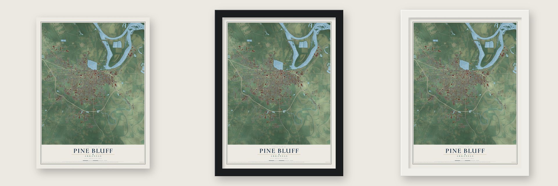
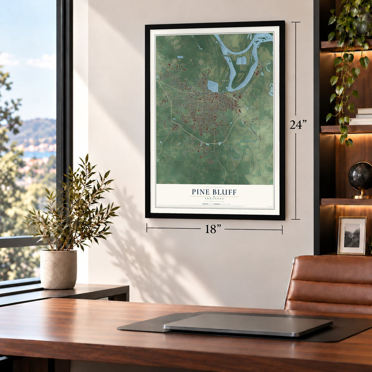
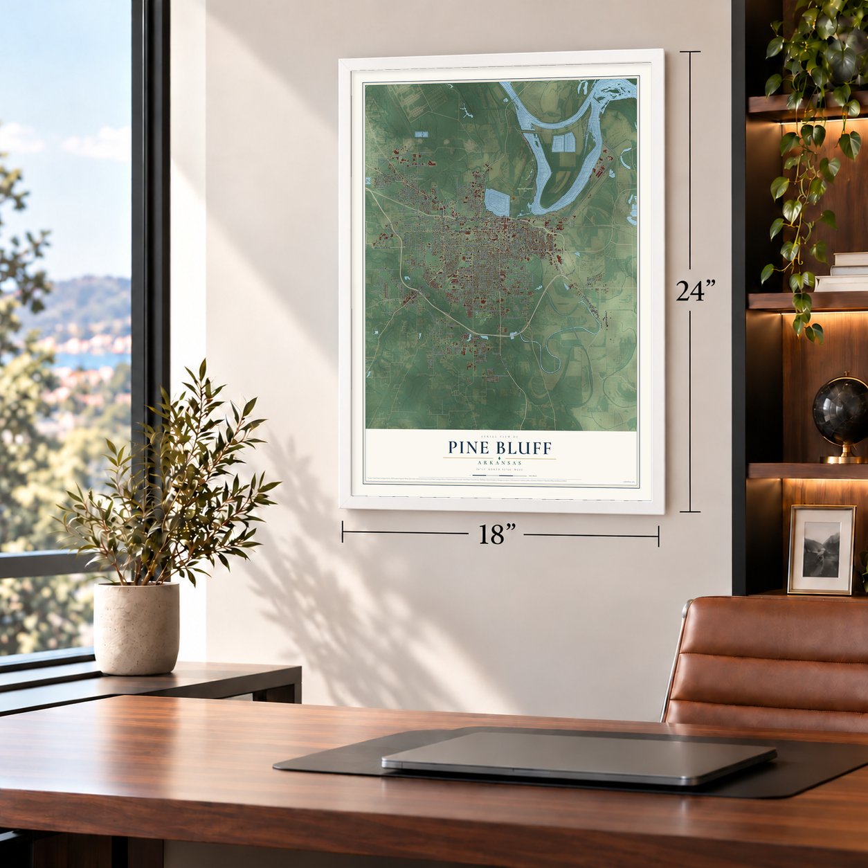
Unframed archival matte, a black wood frame or a white wood frame.
Up close
Geography Worth Displaying
This map was created using accurate cartographic data and authoritative geographic sources, including the U.S. Geological Survey and the Census Bureau. The map brings together terrain, waterways, roads, and building detail. The majority of the streets are labeled, houses are accurately depicted, and the topography is derived from government sources. Combining local data with carefully composed color and shading leads to this beautifully detailed Pine Bluff artwork for your wall.
Rather than simply showing street outlines, we’ve included as many of the street names as we could reasonably fit on the map while keeping their names legible. Zoom in on the high resolution preview to see exactly what’s on the map. We truly set out to create a statement piece for anyone who loves Pine Bluff. So whether it’s for you, or a gift for someone you love, we hope this map of Pine Bluff brings back fond memories.
Read the story behind this map of Pine Bluff, Arkansas from 2026.
About Pine Bluff, Arkansas
From the Encyclopedia of Arkansas: "Steamboat travel soon opened the hamlet to expanding settlement, bringing to the area such men as French-born Napoleonic soldier Antoine Barraque (Pine Bluff’s principal east-west street was named for him) and brothers James T. and John Pullen (main thoroughfares were named for them)."
From the Encyclopedia of Arkansas: "A few years later, James Scull, also from Arkansas Post, arrived and set up an encampment on the north bank across from the future site of Pine Bluff. The encampment soon became a tavern and small inn."
Find your street
Names on the Pine Bluff map
Every name below is printed on this map. Look for your street, your school, the park where you played, or the pond down the road.
Places and landmarks5
- Pine Bluff Municipal Complex
- Pine Bluff Regional Park
- Leitner
- Watson Chapel
- West End
Streets and roads265
- South Olive Street
- West Sixth Avenue
- South Blake Street
- West 13th Avenue
- East Sixth Avenue
- Ohio Street
- Franklin Street
- South Camden Road
- Sheridan Road
- Martha Mitchell Expressway
- Dollarway Road
- University Drive
- East Harding Avenue
- Grider Field Ladd Road
- South Main Street
- South Ohio Street
- West 16th Avenue
- South Fir Street
- West 46th Avenue
- Rhinehart Road
- West Barraque Street
- Frenchtown-Auburn Levy
- North Bryant Street
- South Hemlock Street
- Edwards Street
- South Hazel Street
- West 15th Avenue
- West Fourth Avenue
- West 17th Avenue
- South Mulberry Street
Show all 265 streets
- Jefferson Parkway
- West Second Avenue
- South Cherry Street
- West 14th Avenue
- West 28th Avenue
- West Twelfth Avenue
- Port Road
- Old Warren Road
- South Poplar Street
- South Beech Street
- South Elm Street
- West Fifth Avenue
- West 34th Avenue
- Oakwood Road
- Ridgway Road
- East 38th Avenue
- West Third Avenue
- North Hutchinson Street
- South Georgia Street
- South Missouri Street
- South Ash Street
- West 25th Avenue
- South Cedar Street
- West Pullen Street
- West 36th Avenue
- South Apple Street
- South Catalpa Street
- East Second Avenue
- West 40th Avenue
- Emmett Sanders Road
- Harbor Oaks Drive
- Middle Warren Road
- South Taft Street
- West 73rd Avenue
- West Hepburn Avenue
- West Hepburn Street
- Brinkley Road
- South State Street
- Gravity Road
- South Dakota Street
- Beachfront Drive
- Shannon Road
- Industrial Drive South
- Faucett Road
- Bobo Road
- Riverside Drive
- Commerce Road
- Belmoor Avenue
- Goodfaith Road
- South Young Street
- North Haley Street
- Bullock Street
- West 42nd Avenue
- Eskridge Road
- Phillips Street
- North Birch Street
- Miramar Drive
- Hoover Street
- East 52nd Avenue
- North Cypress Street
- Belmont Drive
- Ryburn Road
- Jeffcoat Road
- Regional Park Drive
- Smart Avenue
- East 34th Avenue
- Howard Drive
- Flipper Street
- Windham Avenue
- Fluker Street
- Doc
- King Street
- Mary Drive
- West Hill Street
- Scenic Drive
- Sturgis Road
- Wormack Street
- Mobile Street
- School Street
- Mulberry
- Cherokee Lane
- Roane Avenue
- Market Street
- Nevins Road
- Kay Don Road
- East 24th Avenue
- Park Place
- Oakridge Drive
- Sheffield Drive
- Hangar Row
- Kenwood Drive
- Nell Drive
- Oliver Road
- Flash Drive
- Shirley Street
- Marjon Drive
- Park Drive
- Auto Drive
- Oak
- North Blake Street
- Country Club Lane
- South Maple Street
- West 21st Avenue
- East Pullen Street
- West Seventh Avenue
- South Hickory Street
- South Plum Street
- South Oak Street
- West 27th Avenue
- South Indiana Street
- West 26th Avenue
- South Pine Street
- South Chestnut Street
- East Tenth Avenue
- Pines Mall Drive
- South Bay Street
- West 37th Avenue
- East Eighth Avenue
- West Short Fourth Avenue
- East Fourth Avenue
- South Texas Street
- South Lee Street
- South Grant Street
- Riverside Park Drive
- East Third Avenue
- Saint Marie Park Road
- East 30th Avenue
- Bay Street
- North Hazel Street
- Bell Street
- East 28th Avenue
- East 43rd Avenue
- South Mississippi Street
- West 41st Avenue
- South Dearborn Street
- Black Dog Drive
- East 42nd Avenue
- East 26th Avenue
- Osborn Road
- War Eagle Drive
- Jaycee Drive
- Free Line Road
- Princeton Pike
- Union Avenue
- West Havis Street
- East 21st Avenue
- East Lake Drive
- Mayberry Road
- Cobb Avenue
- Dierk Mills Road
- Taft Street
- North Myrtle Street
- East 18th Avenue
- Tulip Street
- Fairway Drive
- South Belair Drive
- South Plum
- Bryant North
- Starlite Drive
- Indian Hills Drive
- Greenlee Street
- Scott Avenue
- Lincoln Green Drive
- Twin Oaks Lane
- North Lee Street
- Cardinal
- Briney Road
- Pinnacle Lane
- Leslie Leas Drive
- Brown Road
- Oden Drive
- Wood Avenue
- South Bain Street
- Trinity Drive
- Cash Street
- Perry Street
- Bush Street
- West Short Third Avenue
- West 18th Avenue
- South Persimmon Street
- South Gum Street
- North Magnolia Street
- Correction Circle
- South Palm Street
- Calhoun Street
- West 39th Avenue
- Utah Street
- Hampton Parkway
- South Redbud Street
- Short Reeker Street
- Lake Saracen Drive
- Arlington Street
- South Orlando Drive
- Sunset Road
- Vontungeln Road
- Dusty Lake Drive
- North Phillips Street
- Pine Hill Drive
- Timber Lake Drive
- Scull
- White Oak Cv
- Skylark Drive
- Argyle Avenue
- Spring Street
- North Willow Street
- South Laurel Street
- West 29th Avenue
- West 30th Avenue
- West 19th Avenue
- West 24th Avenue
- South Holly Street
- West 33rd Avenue
- West 35th Avenue
- South Juniper Street
- South Pear Street
- South Peach Street
- North Moreland Street
- Oxford Drive
- East 25th Avenue
- McRae Circle
- Convention Center Drive
- South Midland Drive
- Jackson Road
- North Plum Street
- Cedar
- Ridgewood Drive
- Hudson Avenue
- South Fox Street
- Wellington Drive
- Deer Run North
- North Juniper Street
- East 47th Avenue
- Laurel
- Steve Drive
- Andy Cv
Names are listed as they appear on the printed map. Zoom into the product photos to find them.
The art of mapping a place
How This Map Was Made
Real places. Remarkable detail. Discover the layers that turn geographic data into a map of home.

The view from above
Aerial imagery reveals the character of the land: woodland, open fields, and the patterns of a place.

The shape of the land
Elevation data brings hills, valleys, and subtle changes in the landscape into view.

The details of home
Roads, waterways, and building footprints come together to make the map feel unmistakably local.

Geography becomes art
Considered color, shading, and typography bring the layers together in a map made for your wall.


Process illustrated with Mendon, Massachusetts. Aerial imagery: USDA NAIP. Terrain: USGS 3D Elevation Program. Map details and finished artwork: KNOWOL.
The Details
About This Print
Choose an archival matte print, or a black or white Ayous wood frame. The archival matte print is unframed.
Select your size and finish above to see the matching product image and price.
Materials & Craftsmanship
A contemporary map with the character of a classic atlas, printed on archival matte paper. Optional frames are made from Ayous wood.
Your printed map does not include the watermark shown in the full-map preview.
Shipping & Delivery
Free shipping within the United States. Every print is made to order in the USA.
Buying a gift? Add a note in your cart and we'll include it. We never put prices in the package.
Prints ship within 2 to 3 business days. Allow 7 to 10 days total from ordering for delivery. Timing may vary during holidays or periods of high order volume.
Read our shipping policy.
Returns and damaged prints
Each print is made to order. Change-of-mind refunds are not available after production.
If your print arrives damaged, misprinted or incorrect, contact support@knowol.com within 30 days of receiving it. Include your order number, photos and a description of the issue.
Read our full refund and replacement policy. For questions about your order, email support@knowol.com.
Find your town
Looking for another city?
Find a map of home in our Arkansas collection, or any town in the country.
Nearby
Maps of towns near Pine Bluff
Know someone from one of these towns? Their map makes a great gift.
 White Hall
, Arkansas
From $39.99See the map
 Sherrill
, Arkansas
From $39.99See the map
 Altheimer
, Arkansas
From $39.99See the map
More maps nearby: Tucker, Wabbaseka, Woodlawn, Redfield and Staves.