
Search for another town


Free U.S. delivery 7 to 10 days after you order
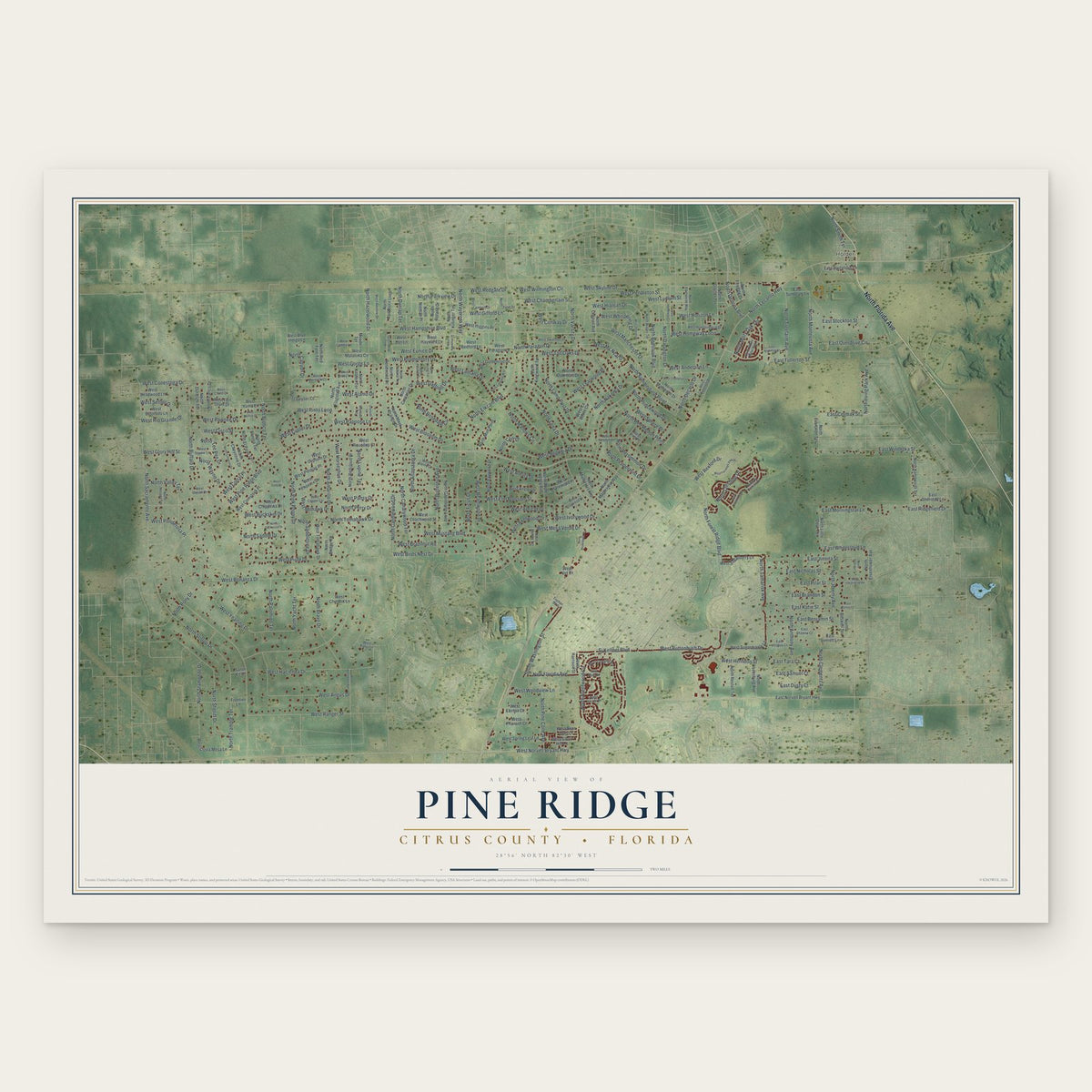
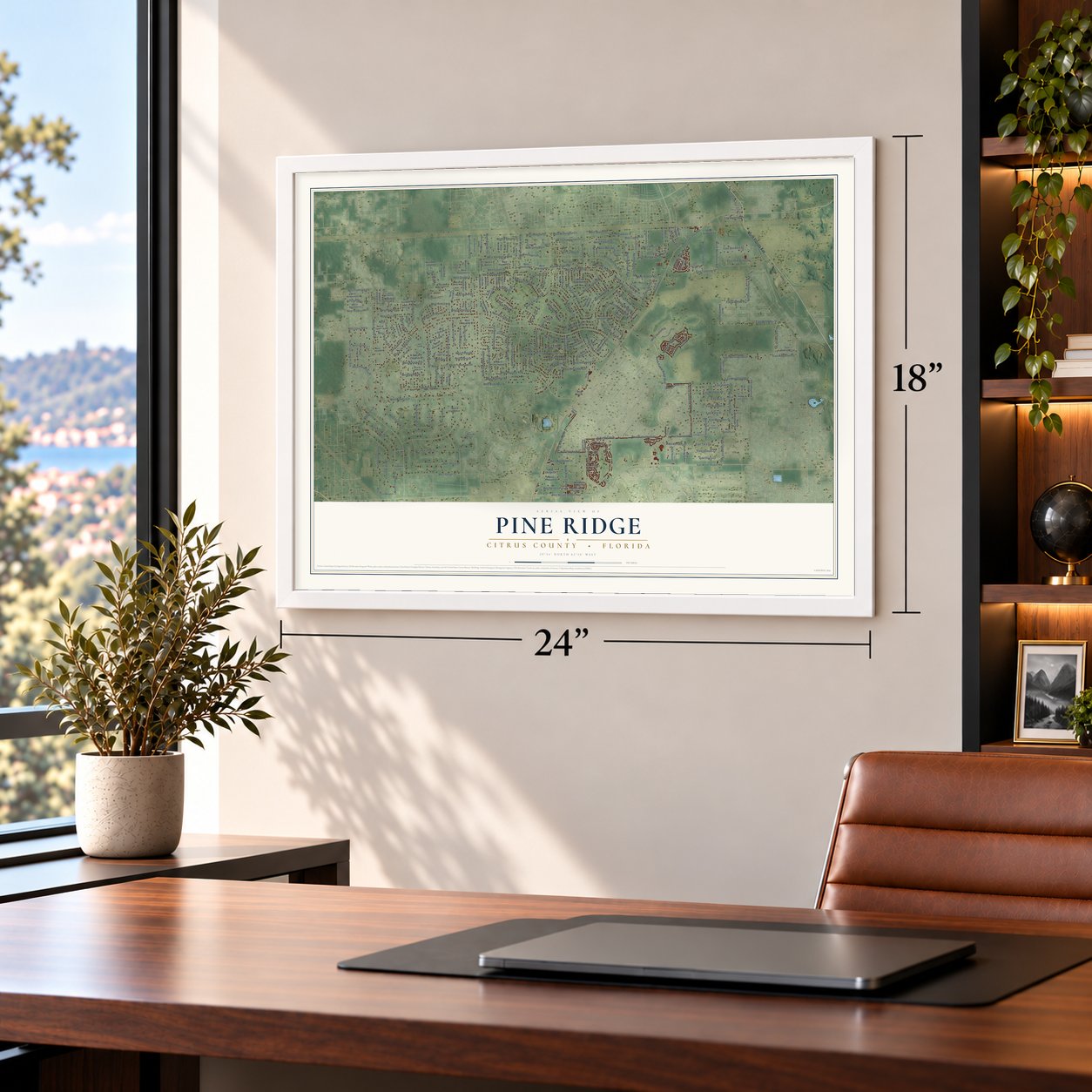
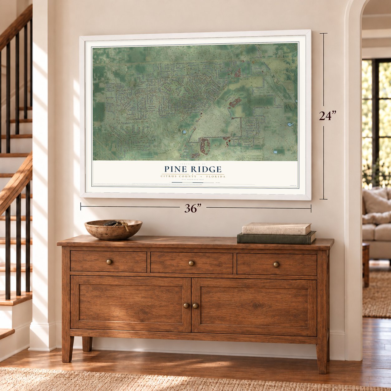
Pine Ridge, Citrus County, Florida Map Art
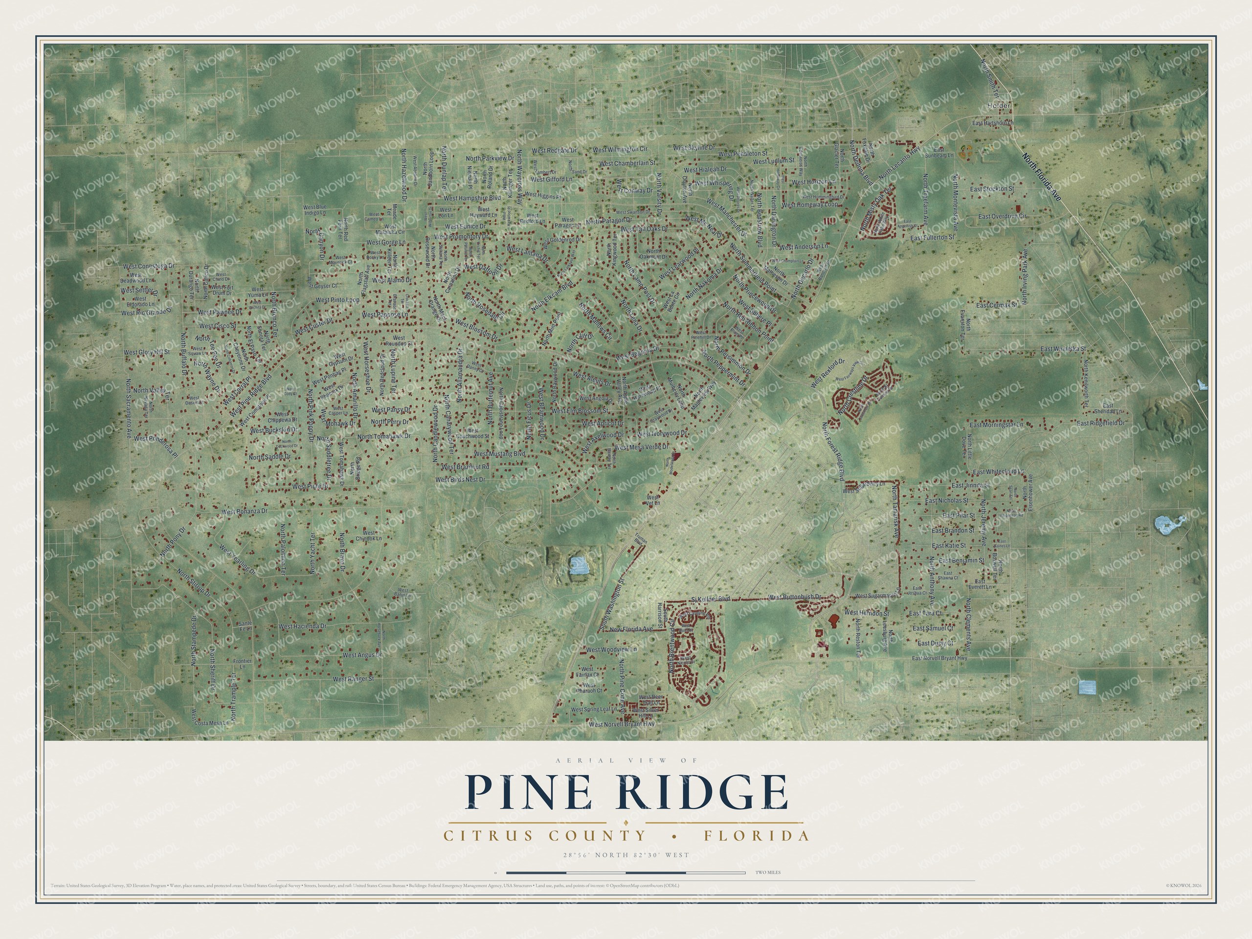
Building by building, with labeled streets and shaded relief.
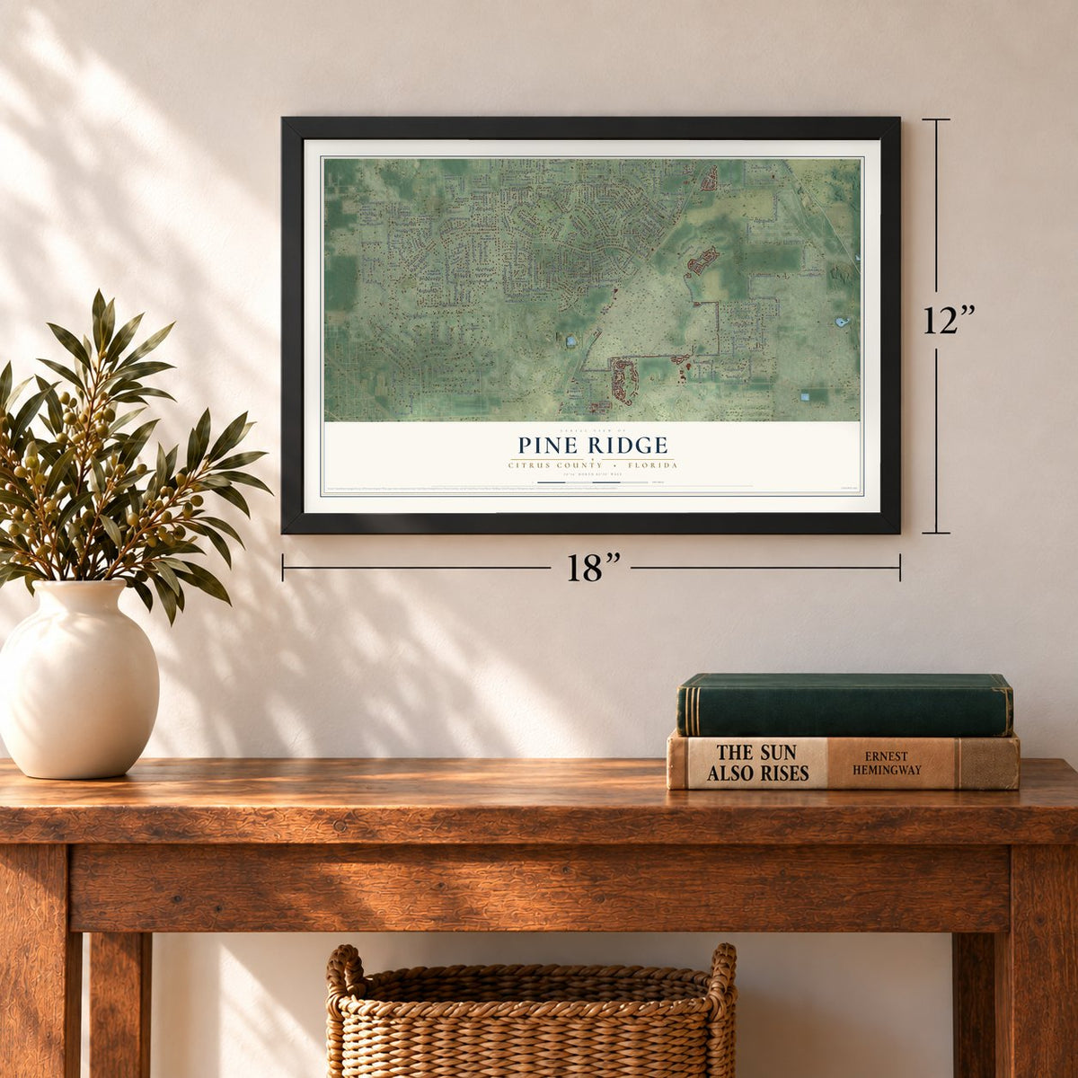
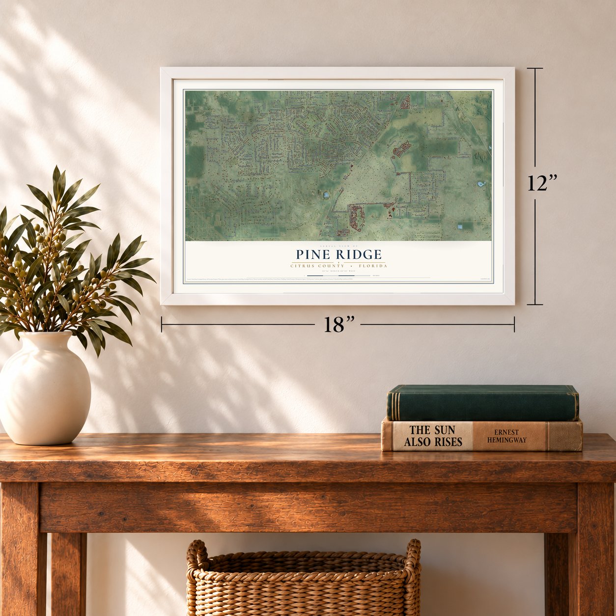
12" x 18" Archival Matte Print
A Map of Home. A Work of Art.
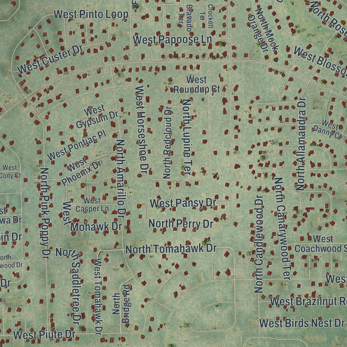
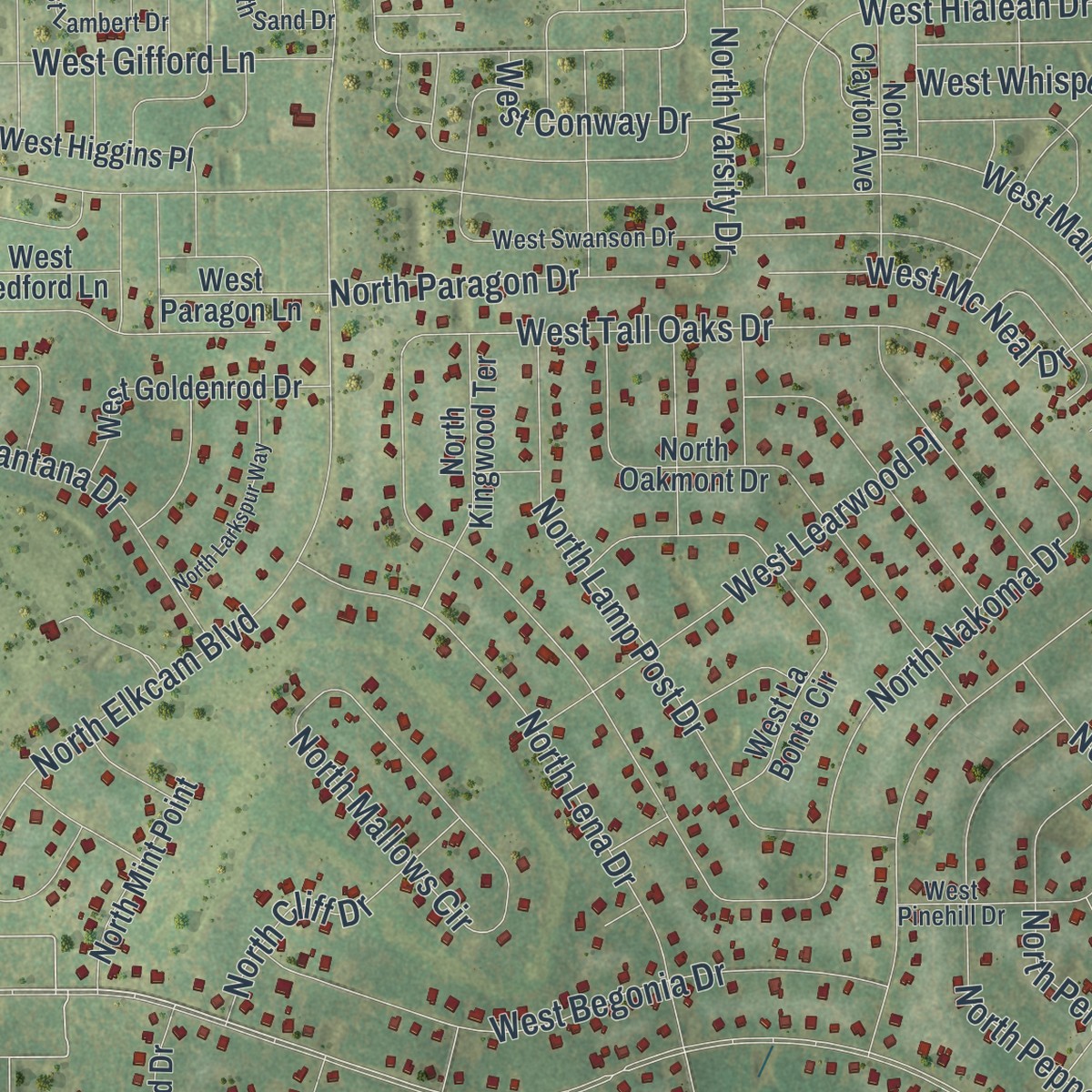
Explore Pine Ridge, Florida from a whole new perspective. Created using aerial imagery and detailed geographic data, this map captures Pine Ridge building by building, with labeled streets, familiar landmarks, and shaded topographical relief that highlights the natural contours of the landscape.
Combining modern data with the timeless character of a vintage atlas, this map is just as interesting up close as it is beautiful on the wall. Whether you grew up in Pine Ridge, spent memorable years there, or call it home today, this unique map is a great way to celebrate a place that means something to you. Zoom in on the preview to look for your street, and then order a print to put your memories on the wall.
Three ways to hang it
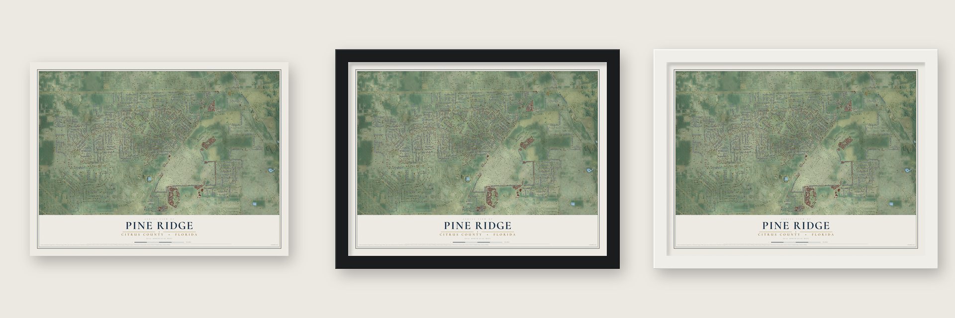
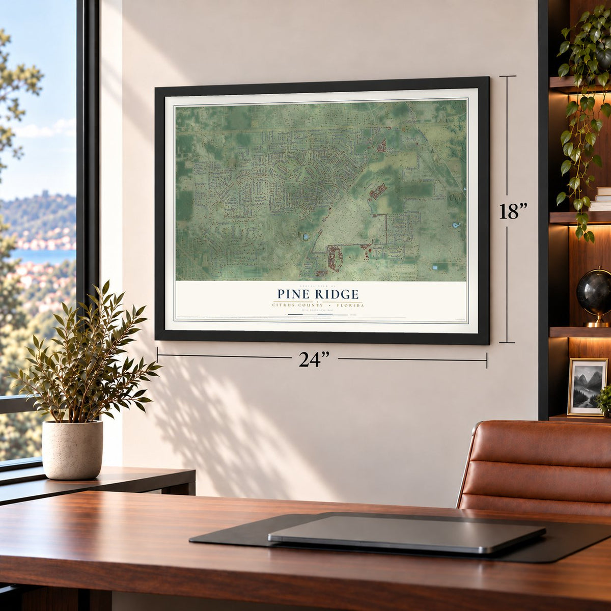
Unframed archival matte, a black wood frame or a white wood frame.
Up close
Geography Worth Displaying
This map was created using accurate cartographic data and authoritative geographic sources, including the U.S. Geological Survey and the Census Bureau. The map brings together terrain, waterways, roads, and building detail. The majority of the streets are labeled, houses are accurately depicted, and the topography is derived from government sources. Combining local data with carefully composed color and shading leads to this beautifully detailed Pine Ridge artwork for your wall.
Rather than simply showing street outlines, we’ve included as many of the street names as we could reasonably fit on the map while keeping their names legible. Zoom in on the high resolution preview to see exactly what’s on the map. We truly set out to create a statement piece for anyone who loves Pine Ridge. So whether it’s for you, or a gift for someone you love, we hope this map of Pine Ridge brings back fond memories.
Read the story behind this map of Pine Ridge, Citrus County, Florida from 2026.

Find your street
Names on the Pine Ridge map
Every name below is printed on this map. Look for your street, your school, the park where you played, or the pond down the road.
Places and landmarks1
- Holder
Streets and roads279
- North Florida Avenue
- West Alamo Drive
- North Varsity Drive
- North Persimmon Drive
- North Paragon Drive
- North Lecanto Highway
- West Pine Ridge Boulevard
- West Mustang Boulevard
- West Hampshire Boulevard
- West Norvell Bryant Highway
- North Bedstrow Boulevard
- North Elkcam Boulevard
- West Bonanza Drive
- North Forest Ridge Boulevard
- North Brentwood Circle
- West Tall Oaks Drive
- West Piute Drive
- North Sheriff Drive
- North Lena Drive
- North Buffalo Drive
- West Horseshoe Drive
- West Pinto Loop
- North Stirrup Drive
- West Homeway Loop
- West Corral Place
- North Anthony Avenue
- West Mesa Verde Drive
- East Overdrive Circle
- West Eunice Drive
- West Wilmington Circle
Show all 279 streets
- West Hacienda Drive
- North Pony Drive
- West Angus Drive
- North Darlington Drive
- North Amarillo Drive
- North Perry Drive
- West Beamwood Drive
- North Tomahawk Drive
- North Saddle Drive
- West Yearling Drive
- North Pink Poppy Drive
- North Hazelwood Drive
- West Hialeah Drive
- West Elm Blossom Street
- West Birds Nest Drive
- North Nakoma Drive
- North Lamp Post Drive
- West Aleuts Drive
- West Ranger Street
- West Daffodil Drive
- North Mallows Circle
- North Bravo Drive
- West Begonia Drive
- North Allamandra Drive
- East Winnetka Street
- North Princewood Drive
- East Jinnita Street
- West Brazilnut Road
- North Peppermint Drive
- North Tamarisk Avenue
- West Buttonbush Drive
- West Pendleton Street
- North Butternut Avenue
- East Nicholas Street
- North Parkview Drive
- West Axelwood Drive
- West Mc Neal Drive
- North Rosedale Circle
- North Red Ribbon Point
- West Buckskin Drive
- West Rexford Drive
- West Blossom Drive
- South Washington Street
- North Stampede Drive
- West Redgate Drive
- North Valley Terrace
- North Decarlo Drive
- West Ivorywood Drive
- West Promontory Drive
- West Rio Grande Drive
- North Treefarm Avenue
- West Cisco Street
- West Learwood Place
- West Glory Hill Street
- North Summerfield Point
- East Stockton Street
- North Sacramento Avenue
- West Skyline Drive
- West Conestoga Drive
- West Manchester Drive
- North Candlewood Drive
- North Clements Avenue
- North Waycross Way
- East Ridgefield Drive
- North Montevista Avenue
- East Katie Street
- East Benjamin Street
- West Woodview Lane
- West Anderson Lane
- East Pilar Street
- West Custer Drive
- North Jeremy Avenue
- West Lantana Drive
- East Brandon Street
- North Pine Cone Avenue
- Sj Kellner Boulevard
- West Chamberlain Street
- West Gorge Lane
- West Pawnee Drive
- North Tee Pee Drive
- North Bronco Terrace
- West Apricot Drive
- West Whispering Drive
- North Smith Terrace
- North Yacht Terrace
- North Palomino Terrace
- North Ficus Drive
- East Morningstar Lane
- West Gifford Lane
- North Crestline Drive
- New Florida Avenue
- North Canarywood Terrace
- North Cliff Drive
- North Saddletree Drive
- North Irving Park Avenue
- West Sphere Place
- West Mohawk Drive
- East Cermak Street
- North Trample Terrace
- West Papoose Lane
- North Dunlap Terrace
- East Whitecloud Lane
- West Settler Drive
- West Ponderosa Place
- North Lupine Terrace
- North Misty Oak Terrace
- North Deltona Boulevard
- East Fullerton Street
- West Horizon Lane
- West Conway Drive
- North Wayne Drive
- West Pansy Drive
- West Ludlum Street
- East Tara Court
- East Samuel Court
- East Dusty Court
- West Herndon Street
- North Canyon Drive
- North Calico Drive
- North Leesburg Avenue
- North Evanston Terrace
- West Tomahawk Drive
- North Matheson Drive
- North Carnation Drive
- North Baywood Drive
- North Cheyenne Drive
- North Oakmont Drive
- West Malaluka Circle
- North Sandborn Loop
- West La Bonte Circle
- North Flagstaff Avenue
- West Higgins Place
- North Capistrano Loop
- North Mulberry Loop
- North Apple Valley Avenue
- North Mock Orange Drive
- West Yuma Lane
- North Kenilworth Terrace
- East Norvell Bryant Highway
- North Foxdale Drive
- North Nieman Place
- West Goldenrod Drive
- North Rosewood Drive
- West Costa Mesa Lane
- West Sugarberry Lane
- North Redcloud Drive
- West Spring Leaf Lane
- North Kingwood Terrace
- West Sugarmaple Lane
- North Little Dove Terrace
- West Fort Drum Drive
- North Clayton Avenue
- West Phoenix Drive
- West Pontiac Place
- West Chippewa Drive
- North Reston Terrace
- West Deadwood Lane
- North Roland Drive
- West Gypsum Drive
- North Mint Point
- North El Paso Terrace
- West Angola Drive
- North Eisenhower Avenue
- West Comstock Place
- East Hartshorn Lane
- West Coachwood Street
- North Boswell Terrace
- West Geyser Court
- North Killinger Terrace
- West Silver Hill Lane
- West Chinook Lane
- East Sheridan Lane
- West Blue Indigo Lane
- West Harewood Place
- North Killeen Terrace
- North Mapleview Way
- North Bridge Road
- North Glacier Terrace
- North Durango Terrace
- West Roundup Court
- West Eldorado Lane
- North Red Fern Terrace
- North Sonora Terrace
- West Paragon Lane
- East Sunbeam Lane
- East Everett Lane
- West Pharaoh Court
- West Hayward Lane
- South Harrison Street
- West Fairfax Court
- West Bedford Lane
- Meade Terrace
- West Deer Trail Lane
- West Lon Lane
- Sante Fe Lane
- Frontier Lane
- West Vet Lane
- West Swanson Drive
- West Bancroft Drive
- North Walter Terrace
- West Maverick Court
- West Abeline Drive
- East Joshua Court
- East Shawna Court
- West Hummingbird Drive
- West Danny Court
- North El Camino Drive
- West Graywood Drive
- West Nicole Drive
- West Caroline Pth
- North Edelweiss Way
- West Chino Drive
- West Pinehill Drive
- West Lambert Drive
- North Sultana Terrace
- West Casper Lane
- North Sand Drive
- North Nevada Terrace
- West Cameo Lane
- West Rocky Lane
- North White Palm Way
- West Desert Court
- West Banjo Lane
- North Bartley Terrace
- Bravado Terrace
- West Plum Place
- Truman Boulevard
- West Wilburton Drive
- North Indianhead Road
- West Delores Drive
- North Modelwood Drive
- North Cimarron Drive
- North Deckwood Drive
- West Kirkwood Place
- West Wichita Drive
- North Horseback Avenue
- West Homeway Circle
- West Fairways View Drive
- North Larkspur Way
- West Champlain Lane
- North Jademoor Drive
- West Alpha Court
- North Orchis Terrace
- North Petunia Terrace
- East Angelfish Court
- Crockett Terrace
- East Gaines Lane
- North Sean Terrace
- West Cody Court
Names are listed as they appear on the printed map. Zoom into the product photos to find them.
Keep exploring Florida
Pine Ridge is one of 1,047 Florida towns we've mapped. Every dot on the map is a print of its own.
The search covers every state, Florida first.
Near Pine Ridge
Order 2 or more town maps and save 10%. Shown in the size and finish you picked above, so they hang as a set.
- Beverly Hills 12" x 18" / Archival Matte Print $39.99
- Black Diamond 12" x 18" / Archival Matte Print $39.99
- Citrus Hills 12" x 18" / Archival Matte Print $39.99


More maps nearby: Citrus Springs, Hernando, Lecanto, Inverness Highlands North and Crystal River.
The art of mapping a place
How This Map Was Made
Real places. Remarkable detail. Discover the layers that turn geographic data into a map of home.

The view from above
Aerial imagery reveals the character of the land: woodland, open fields, and the patterns of a place.

The shape of the land
Elevation data brings hills, valleys, and subtle changes in the landscape into view.

The details of home
Roads, waterways, and building footprints come together to make the map feel unmistakably local.

Geography becomes art
Considered color, shading, and typography bring the layers together in a map made for your wall.


Process illustrated with Mendon, Massachusetts. Aerial imagery: USDA NAIP. Terrain: USGS 3D Elevation Program. Map details and finished artwork: KNOWOL.
The Details
About This Print
Choose an archival matte print, or a black or white Ayous wood frame. The archival matte print is unframed.
Select your size and finish above to see the matching product image and price.
Materials & Craftsmanship
A contemporary map with the character of a classic atlas, printed on archival matte paper. Optional frames are made from Ayous wood.
Your printed map does not include the watermark shown in the full-map preview.
Shipping & Delivery
Free shipping within the United States. Every print is made to order in the USA.
Buying a gift? Add a note in your cart and we'll include it. We never put prices in the package.
Prints ship within 2 to 3 business days. Allow 7 to 10 days total from ordering for delivery. Timing may vary during holidays or periods of high order volume.
Read our shipping policy.
Returns and damaged prints
Each print is made to order. Change-of-mind refunds are not available after production.
If your print arrives damaged, misprinted or incorrect, contact support@knowol.com within 30 days of receiving it. Include your order number, photos and a description of the issue.
Read our full refund and replacement policy. For questions about your order, email support@knowol.com.