
Search for another town
Free U.S. delivery 7 to 10 days after you order
Plainfield, Indiana Map Art
Building by building, with labeled streets and shaded relief.
12" x 18" Archival Matte Print
A Map of Home. A Work of Art.
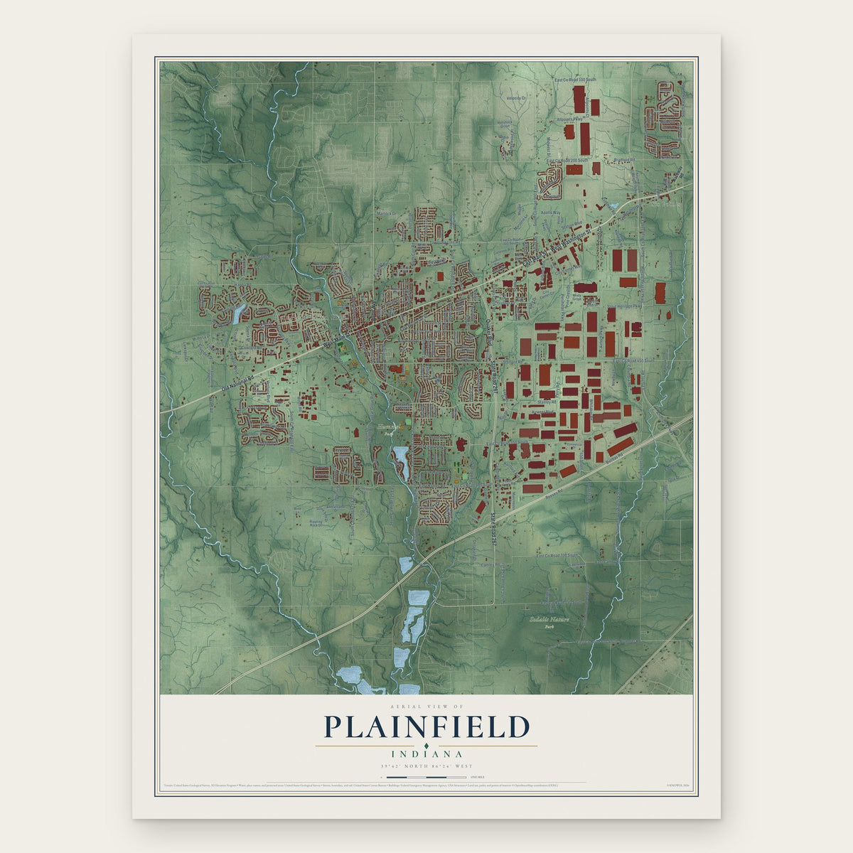
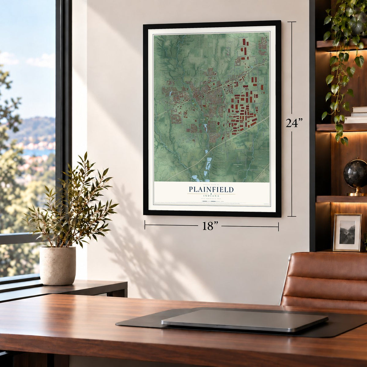
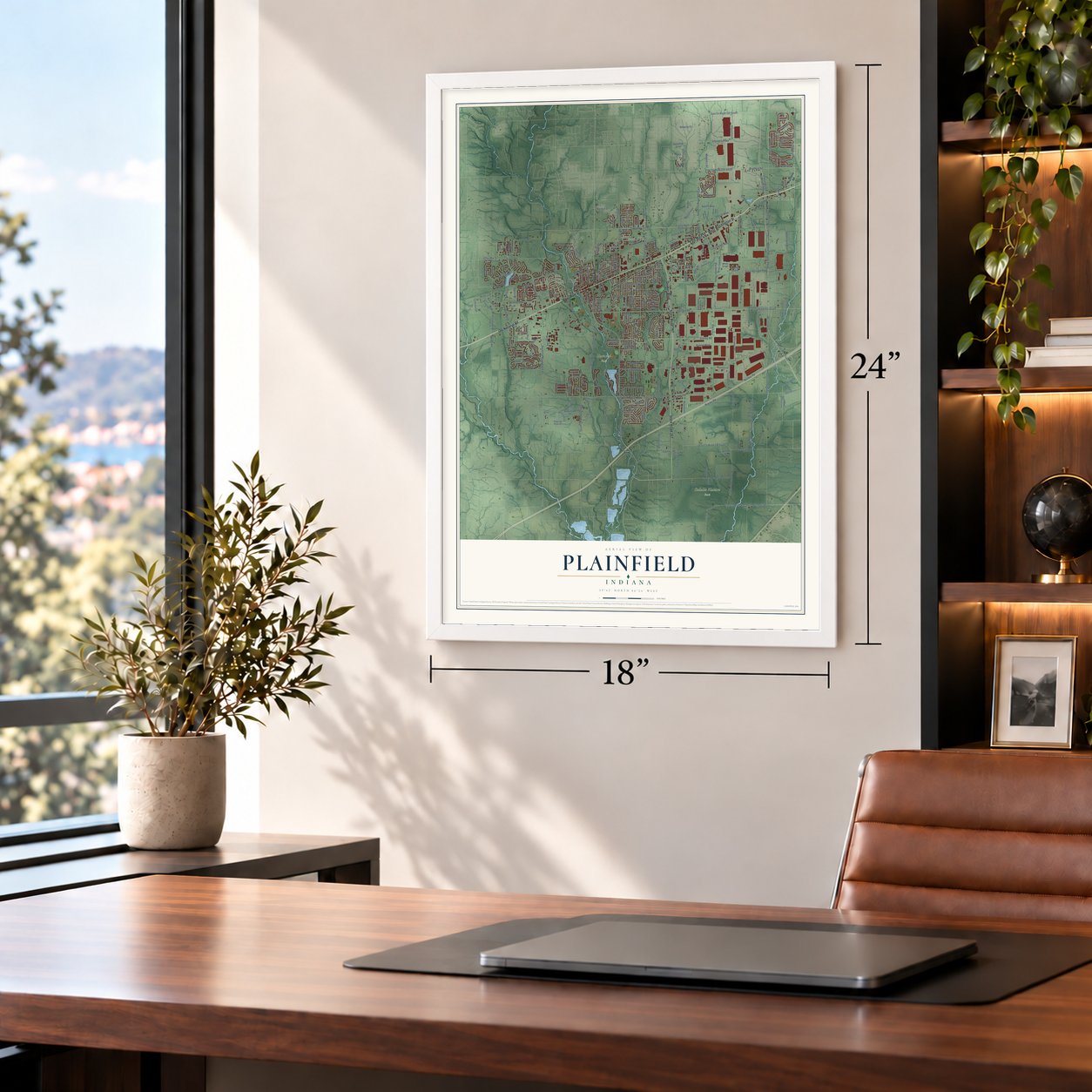
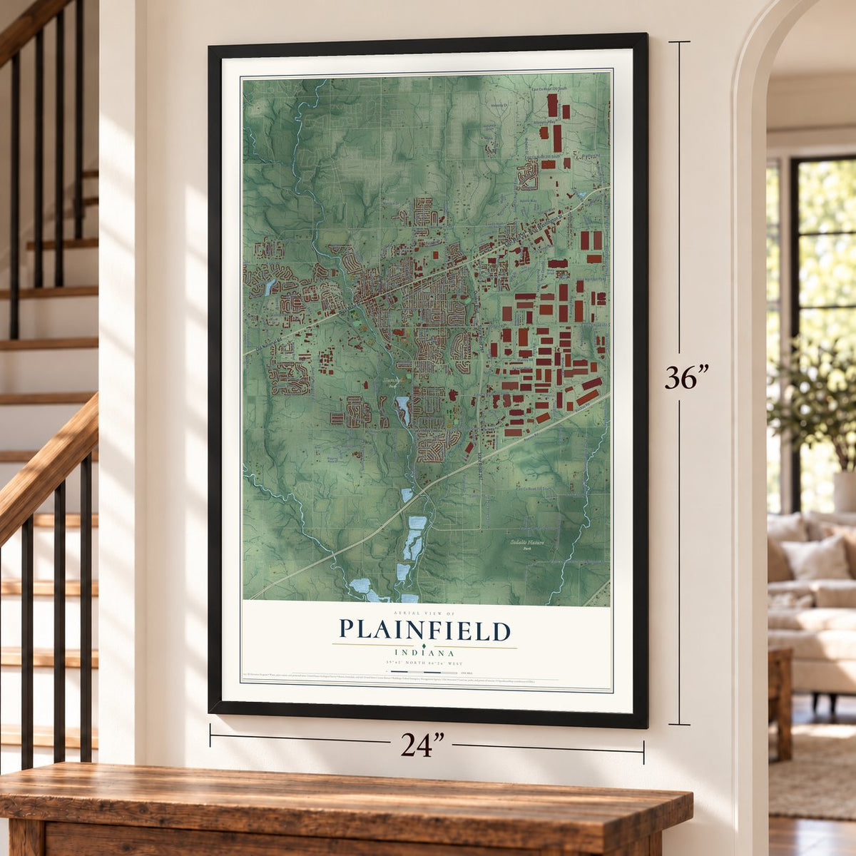
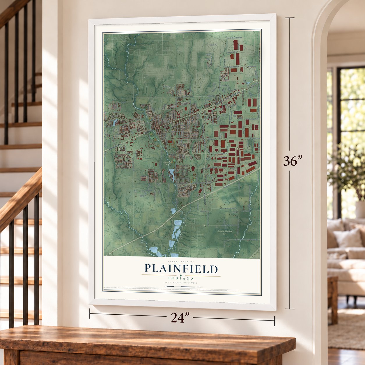
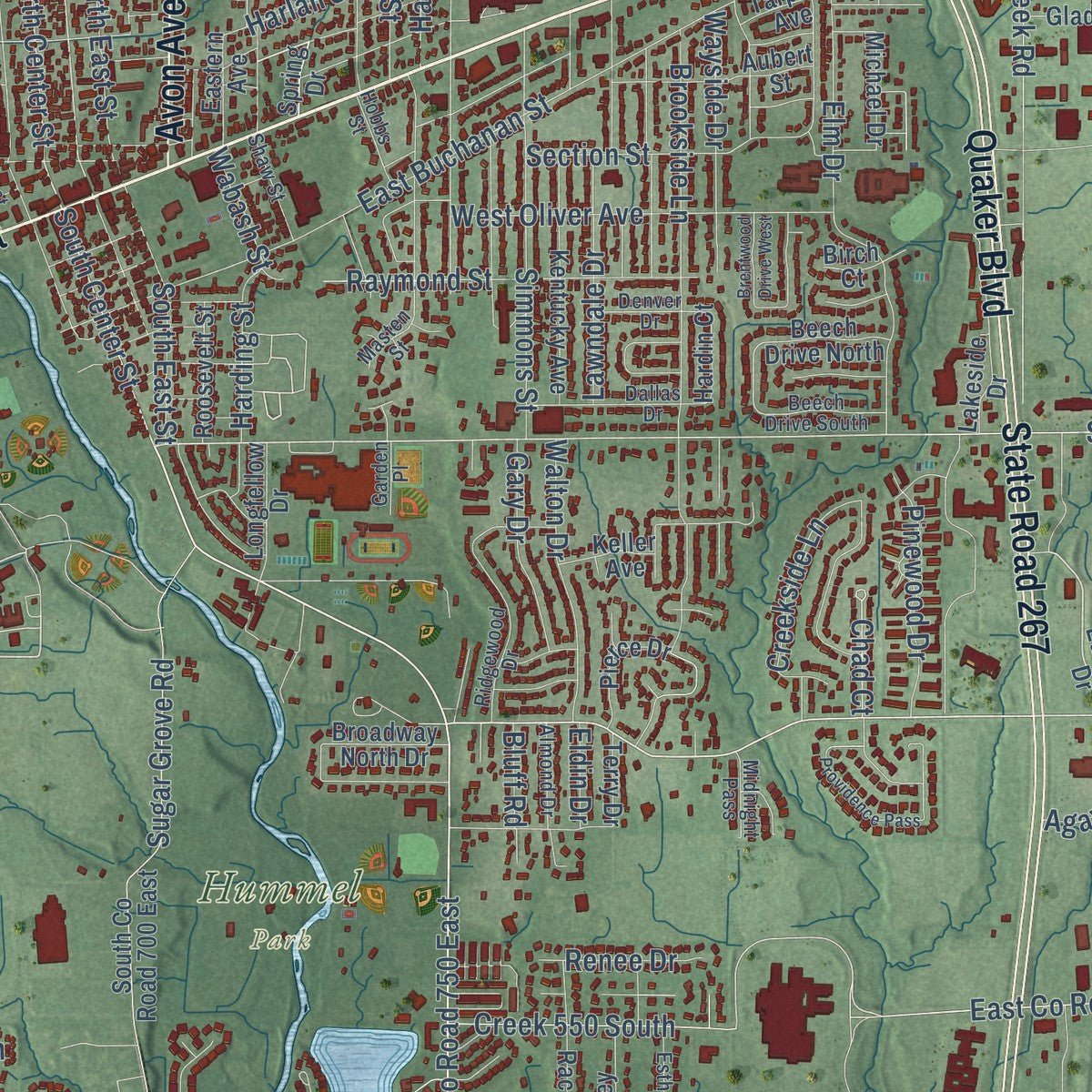
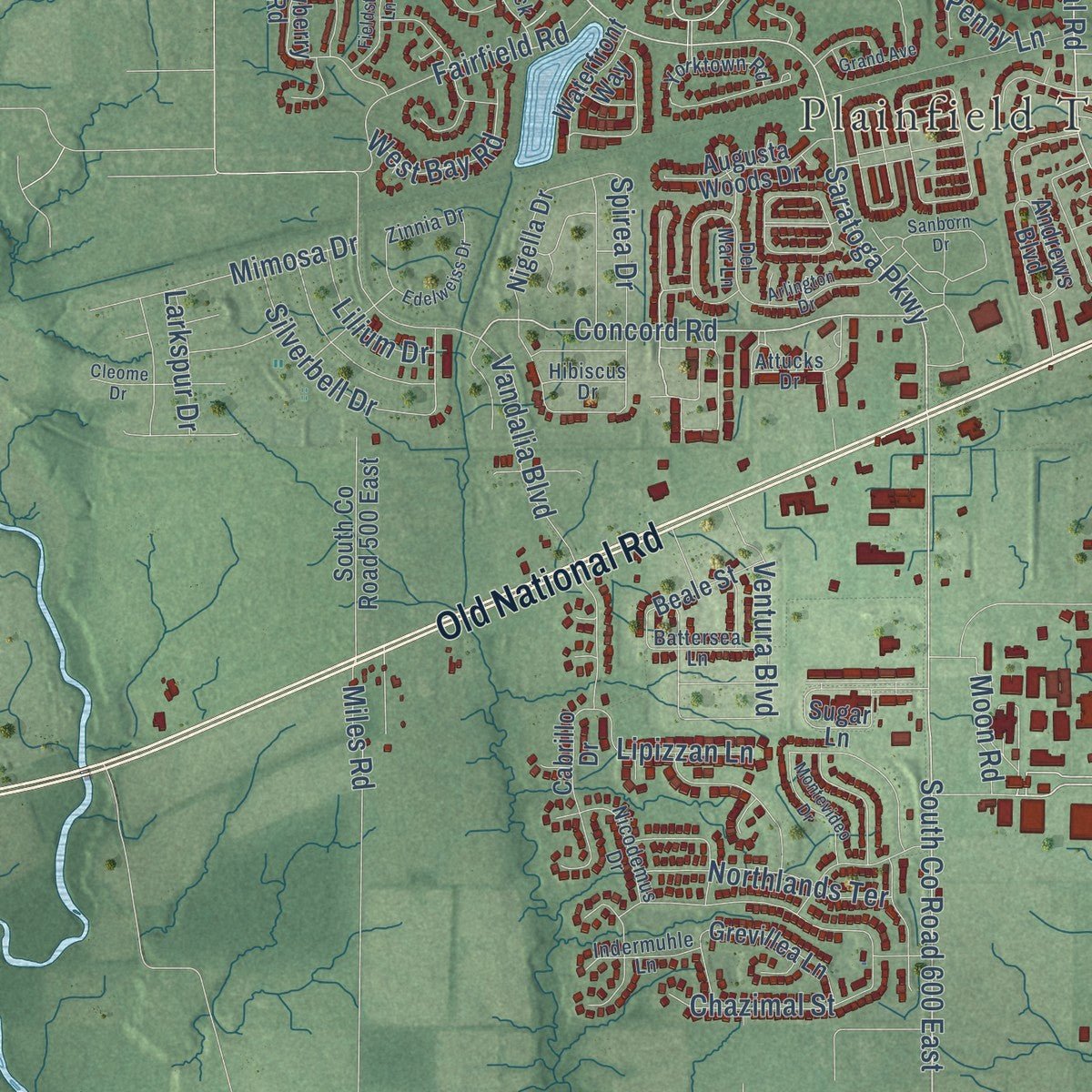
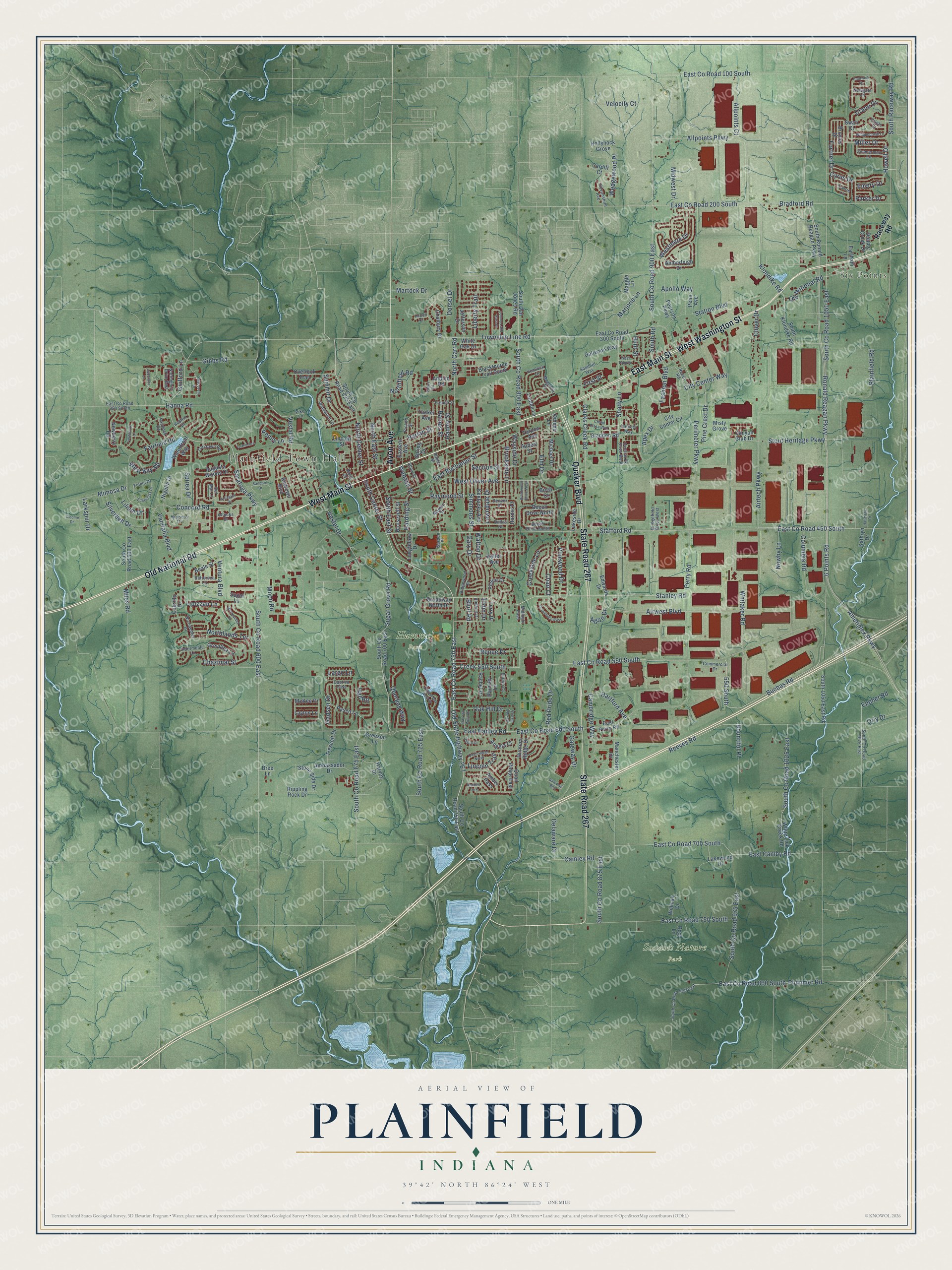
Explore Plainfield, Indiana from a whole new perspective. Created using aerial imagery and detailed geographic data, this map captures Plainfield building by building, with labeled streets, familiar landmarks, and shaded topographical relief that highlights the natural contours of the landscape.
Combining modern data with the timeless character of a vintage atlas, this map is just as interesting up close as it is beautiful on the wall. Whether you grew up in Plainfield, spent memorable years there, or call it home today, this unique map is a great way to celebrate a place that means something to you. Zoom in on the preview to look for your street, and then order a print to put your memories on the wall.
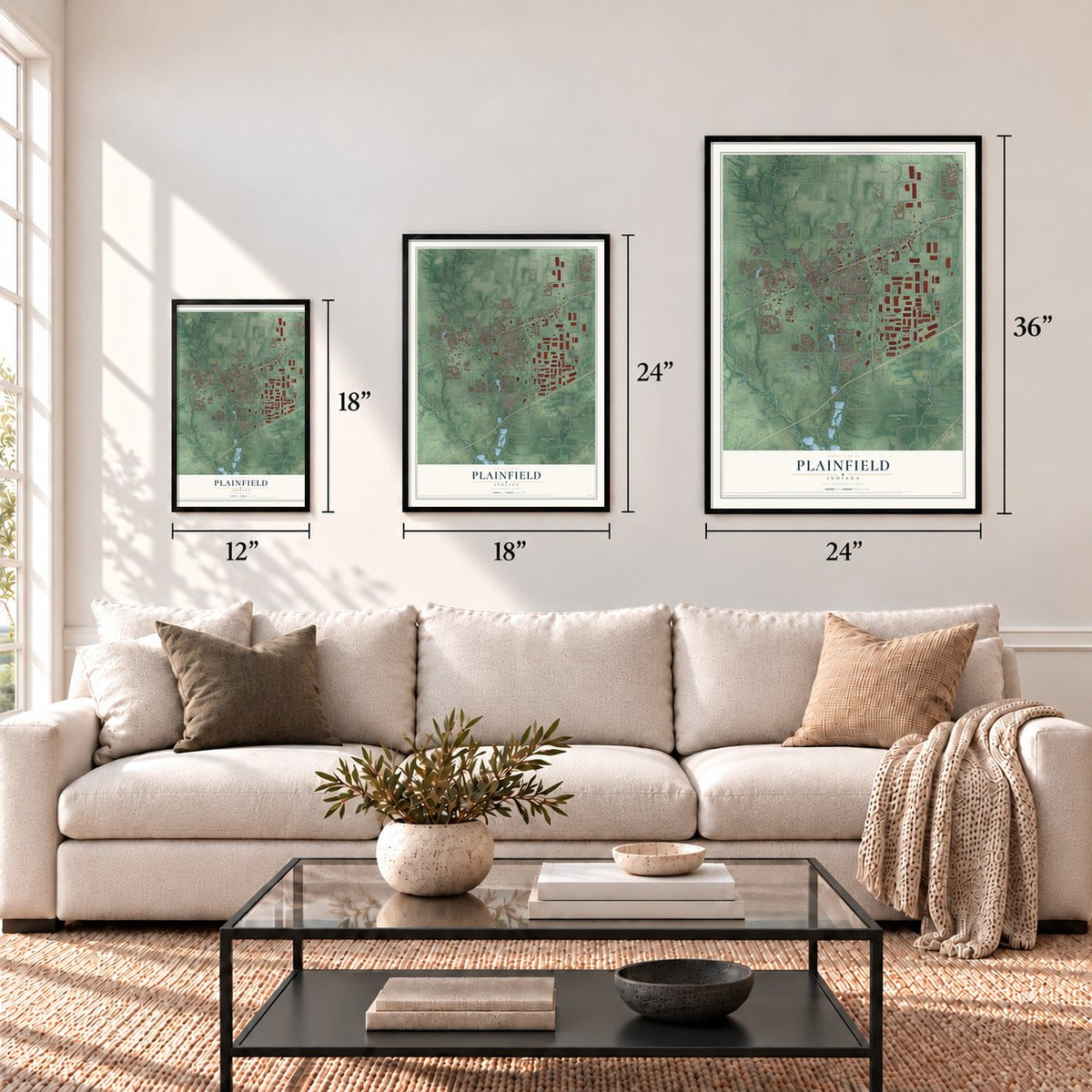
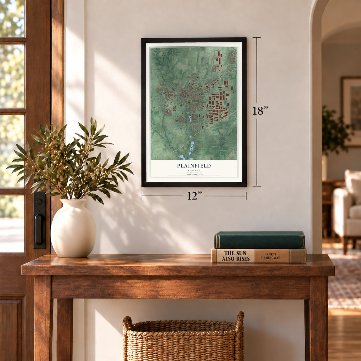
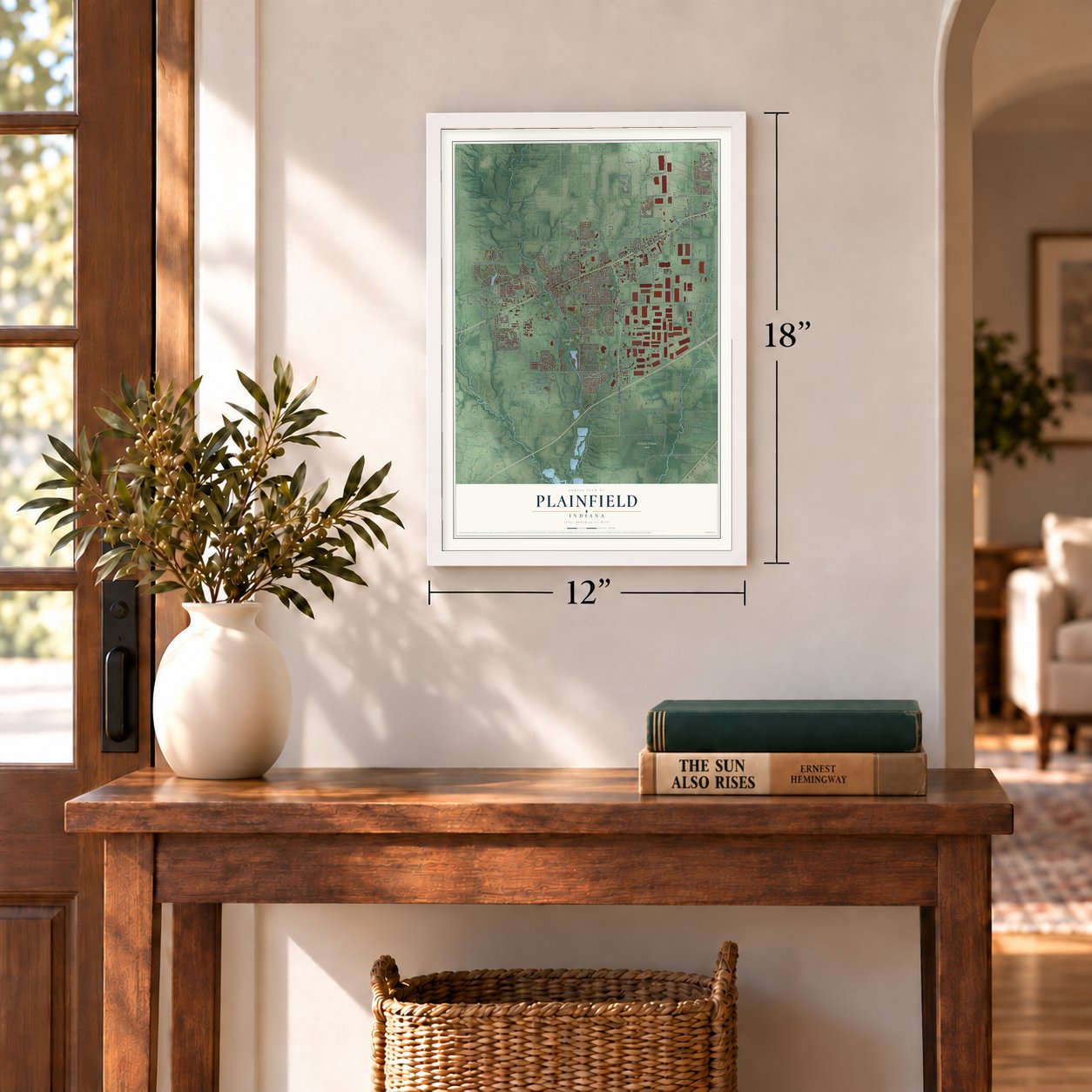
Three ways to hang it
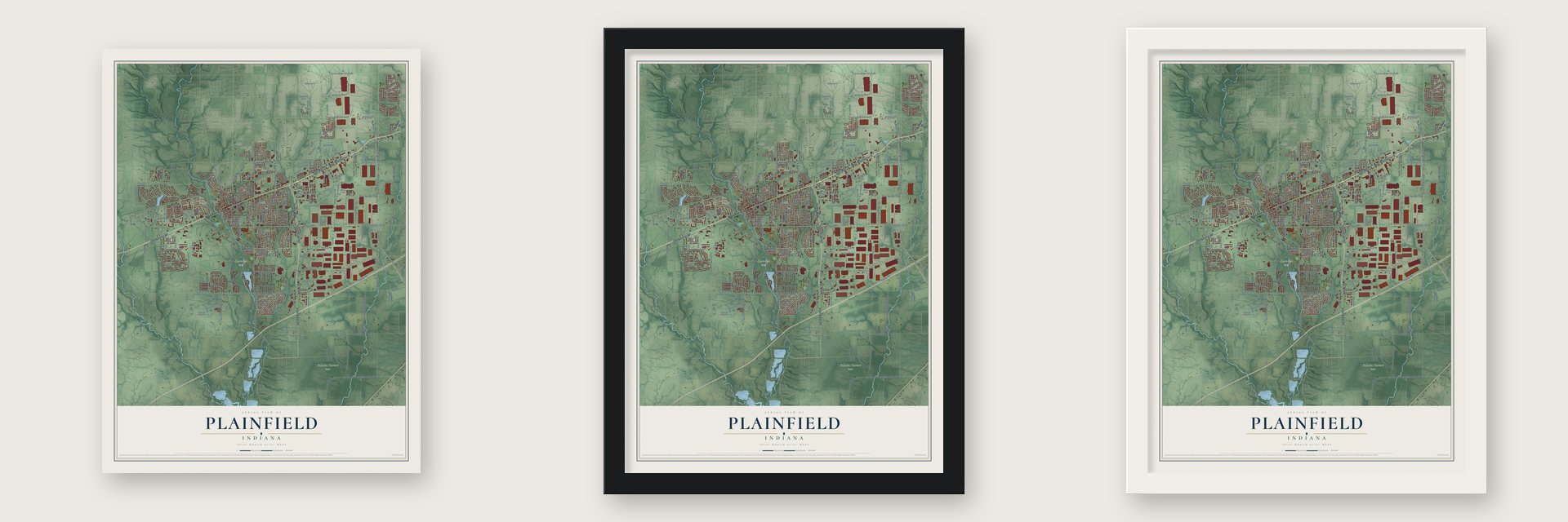
Unframed archival matte, a black wood frame or a white wood frame.
Up close
Geography Worth Displaying
This map was created using accurate cartographic data and authoritative geographic sources, including the U.S. Geological Survey and the Census Bureau. The map brings together terrain, waterways, roads, and building detail. The majority of the streets are labeled, houses are accurately depicted, and the topography is derived from government sources. Combining local data with carefully composed color and shading leads to this beautifully detailed Plainfield artwork for your wall.
Rather than simply showing street outlines, we’ve included as many of the street names as we could reasonably fit on the map while keeping their names legible. Zoom in on the high resolution preview to see exactly what’s on the map. We truly set out to create a statement piece for anyone who loves Plainfield. So whether it’s for you, or a gift for someone you love, we hope this map of Plainfield brings back fond memories.
Read the story behind this map of Plainfield, Indiana from 2026.
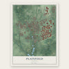
Find your street
Names on the Plainfield map
Every name below is printed on this map. Look for your street, your school, the park where you played, or the pond down the road.
Places and landmarks4
- Plainfield Town Hall
- Six Points
- Hummel Park
- Sodalis Nature Park
Streets and roads302
- East Main Street
- West Washington Street
- West Main Street
- Old National Road
- State Road 267
- Quaker Boulevard
- Avon Avenue
- Ronald Reagan Parkway
- South Center Street
- Saratoga Parkway
- Stanley Road
- Township Line Road
- Airwest Boulevard
- North Center Street
- Ameriplex Parkway
- Reeves Road
- Old State Highway 267
- Stafford Road
- Concord Road
- East County Road 750 East
- South County Road 600 East
- Vestal Road
- South County Road 675 East
- Miller Drive
- Crane Drive
- East County Road 450 South
- Hall Road
- 550 South
- Wedgewood Place
- Howell Drive
Show all 302 streets
- First Street
- Apex Drive
- South County Road 1050 East
- East County Road 600 South
- 6 Points Road
- Perry Road
- South County Road 900 East
- Smith Road
- Stout Heritage Parkway
- East County Road 700 South
- Bradford Road
- Airtech Parkway
- East County Road 550 South
- Perimeter Parkway
- South Raceway Road
- East County Road 100 South
- East County Road 200 South
- Plainfield Road
- East Camby Road
- South County Road 1025 East
- South County Road 875 East
- Brookside Lane
- East Hadley Road
- Allpoints Parkway
- East Buchanan Street
- East County Road 750 South
- Columbia Road
- Sugar Grove Road
- Whitaker Road
- South County Road 975 East
- South County Road 800 East
- Clarks Creek Road
- East County Road 800 South
- Plummer Road
- Elm Drive
- Vestal Drive
- Station Boulevard
- Fairfield Road
- Cambridge Way
- North Carr Road
- Vandalia Boulevard
- Shady Lane
- Klondike Road
- Simmons Street
- Gibbs Road
- Lawndale Drive
- Miles Road
- West Oliver Avenue
- South County Road 725 East
- Westmere Drive
- Red Pride Drive
- Clover Drive
- Creek 550 South
- Hanna Road
- City Center Way
- Bucbas Road
- Section Street
- Walton Drive
- Gateway Drive
- Marjorie Lane
- Mimosa Drive
- Creekside Lane
- Liberty Trail
- Velocity Court
- Northfield Road
- Fortner Drive
- South East Street
- Oberlies Way
- Chazimal Street
- Northlands Terrace
- Wayside Drive
- Bountiful Place
- Cyrus Drive
- Silverbell Drive
- Hartford Avenue
- Gadsen Drive
- Pinewood Drive
- North East Street
- Hanley Street
- Raines Street
- Spirea Drive
- Allpoints Court
- Ventura Boulevard
- Summit Drive
- Harlan Street
- Gary Drive
- Newby Lane
- Fashion Boulevard
- Dorset Drive
- Moon Road
- Raymond Street
- Eppher Road
- Harding Street
- West Bay Road
- Midwest Drive
- Camley Road
- Lipizzan Lane
- Delaware Drive
- Lincoln Trail
- Wabash Street
- Oak Hill Drive
- Lilium Drive
- Pine Crest Drive
- Renee Drive
- Martock Drive
- Apollo Way
- Guilford Lane
- Chad Court
- Larkspur Drive
- Largo Lane
- Parker Drive
- Emery Drive
- Penny Lane
- Agan Drive
- Orly Drive
- Eldin Drive
- Bluff Road
- Hunt Street
- Raceway Road
- Edwards Drive
- Spring Drive
- East County Road 300 South
- South County Road 750 East
- South Klondike Road
- Blackthorne Trail South
- South Ronald Reagan Parkway
- South County Road 700 East
- White Lick Creek Road
- South Dan Jones Road
- City Center Circle
- Andrews Boulevard
- Kentucky Avenue
- Sugar Lane
- Amberleigh Drive
- Nigella Drive
- Newberry Road
- Chalbury Drive
- South 1050 East Road
- South County Road 500 East
- Lakeside Drive
- Ambassador Drive
- South County Road 625 East
- Aubert Street
- Pearson Parkway
- Overlook Trail
- Linden Lane
- Ramsey Lane
- Willman Drive
- Rippling Rock Drive
- Augusta Woods Drive
- Trescott Drive
- Tucker Avenue
- Quail Ridge East
- Grevillea Lane
- Stone Side Drive
- East Perry Road
- Michael Drive
- Galleone Way
- Jefferson Drive
- Penn Avenue
- Lincoln Street
- Hunters Ridge Drive
- Gladden Road
- Angela Court
- Broadway North Drive
- Hardin Court
- Roosevelt Street
- Waterfront Way
- Pierce Drive
- Broyles Drive
- Longfellow Drive
- Greeson Lane
- Manchester Drive
- Eastern Avenue
- Rachel Drive
- Pasco Lane
- McKee Drive
- Beech Drive North
- Beale Street
- Cabrillo Drive
- Hollyhock Grove
- Amber Pass
- Lakewood Drive
- Double Creek Drive
- Layton Lane
- Earlham Lane
- Andico Road
- Kathryn Drive
- Canyon Club Drive
- Omega Lane
- Maggie Lane
- Tarpon Avenue
- White Oak Drive
- Terry Drive
- Misty Grove
- Harvey Drive
- Cardiff Court
- Swan Court
- Keller Avenue
- Rost Lane
- Bree Lane
- Birch Court
- Pickett Street
- Del Mar Lane
- East County Road 350 South
- South County Road 1075 East
- Devonshire Avenue
- Masten Street
- South County Road 925 East
- Ridgewood Drive
- Windward Lane
- Retail Road
- Dallas Drive
- Bridgefield Drive West
- Magnolia Drive
- Zinnia Drive
- Commercial Drive
- Nicodemus Drive
- Yorktown Road
- Zimmerman Lane
- Beech Drive South
- Indermuhle Lane
- Battersea Lane
- Nottinghill Drive East
- Paddock Road
- Esther Court
- Shaw Street
- Almond Drive
- Garden Place
- Central Pk Drive West
- Hobbs Street
- French Street
- Newgate Lane
- Midnight Pass
- Denver Drive
- Hemlock Lane
- Hibiscus Drive
- Sandhill Way
- Carrie Lane
- Oriole Court
- Captiva Pass
- West Street
- Attucks Drive
- Reston Drive
- Harvest Way
- Pike Lane
- Huntwick Drive
- Crystal Bay West Drive
- Quail Ridge North
- Crown Plaza Boulevard
- Arlington Drive
- Discovery Drive
- Whippoorwill Lane
- Providence Pass
- Cleome Drive
- Edelweiss Drive
- Montevideo Drive
- Colony Lake East Drive
- Grand Avenue
- West Tulip Drive
- Oak Hill East Drive
- Fieldstone Lane
- Oak Hill West Drive
- Debra Court
- Andrew Turn
- Brentwood Drive West
- Hallmark Drive
- Juparana Lane
- Gateway Boulevard
- Sanborn Drive
- Horton Court
- Tower Road
Names are listed as they appear on the printed map. Zoom into the product photos to find them.
About Plainfield, Indiana
Plainfield is a town of 34,625 people in Hendricks County, with White Lick Creek running through its western side. In 1822 Jeremiah Hadley of Preble County, Ohio, acquired a tract that took in the future town. A decade later his son Elias bought the land from him. Elias Hadley and Levi Jessup laid out the town in 1839, and it was incorporated that same year. The name came from the Quakers who settled the area. Friends were known as plain people, and they built meetinghouses across the county, including the Western Yearly Meeting of Friends in Plainfield.
The town grew up on the National Road, now U.S. Route 40, which runs through it as Main Street. Former President Martin Van Buren had angered western settlers by vetoing a bill to improve that road. In 1842 he traveled through Plainfield to win back support before the 1844 election, and pranksters arranged for his stagecoach to spill him into the deep mud. The roots of an elm tipped the coach, and the tree became known as the Van Buren Elm. Van Buren Elementary School, near the spot, carries his name today.
- The Plainfield ProgressGeorge V. Mechler started the Plainfield Progress. He was a Democrat, but he ran it as an independent paper in a strongly Republican town, and it did well for two or three years. After he left, Horace G. Douglass and J. A. Fullen started a new paper under the same name only two weeks later. Two papers called the Progress later moved from Plainfield to Danville.
- A conservationist and an actorWilliam Temple Hornaday, a conservationist of the nineteenth century, and the actor Forrest Tucker were both born in Plainfield.
Keep exploring Indiana
Plainfield is one of 1,023 Indiana towns we've mapped. Every dot on the map is a print of its own.
The search covers every state, Indiana first.
Near Plainfield
Order 2 or more town maps and save 10%. Shown in the size and finish you picked above, so they hang as a set.
- Avon 12" x 18" / Archival Matte Print $39.99
- Cartersburg 12" x 18" / Archival Matte Print $39.99
- Belleville 12" x 18" / Archival Matte Print $39.99
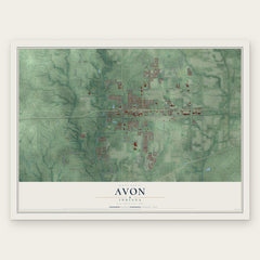
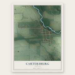
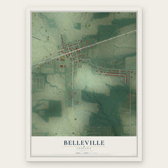
More maps nearby: Mooresville, Clayton, Danville, Clermont and Monrovia.
The art of mapping a place
How This Map Was Made
Real places. Remarkable detail. Discover the layers that turn geographic data into a map of home.

The view from above
Aerial imagery reveals the character of the land: woodland, open fields, and the patterns of a place.

The shape of the land
Elevation data brings hills, valleys, and subtle changes in the landscape into view.

The details of home
Roads, waterways, and building footprints come together to make the map feel unmistakably local.

Geography becomes art
Considered color, shading, and typography bring the layers together in a map made for your wall.


Process illustrated with Mendon, Massachusetts. Aerial imagery: USDA NAIP. Terrain: USGS 3D Elevation Program. Map details and finished artwork: KNOWOL.
The Details
About This Print
Choose an archival matte print, or a black or white Ayous wood frame. The archival matte print is unframed.
Select your size and finish above to see the matching product image and price.
Materials & Craftsmanship
A contemporary map with the character of a classic atlas, printed on archival matte paper. Optional frames are made from Ayous wood.
Your printed map does not include the watermark shown in the full-map preview.
Shipping & Delivery
Free shipping within the United States. Every print is made to order in the USA.
Buying a gift? Add a note in your cart and we'll include it. We never put prices in the package.
Prints ship within 2 to 3 business days. Allow 7 to 10 days total from ordering for delivery. Timing may vary during holidays or periods of high order volume.
Read our shipping policy.
Returns and damaged prints
Each print is made to order. Change-of-mind refunds are not available after production.
If your print arrives damaged, misprinted or incorrect, contact support@knowol.com within 30 days of receiving it. Include your order number, photos and a description of the issue.
Read our full refund and replacement policy. For questions about your order, email support@knowol.com.