
Search for another town




Free U.S. delivery 7 to 10 days after you order
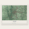
Avon, Indiana Map Art
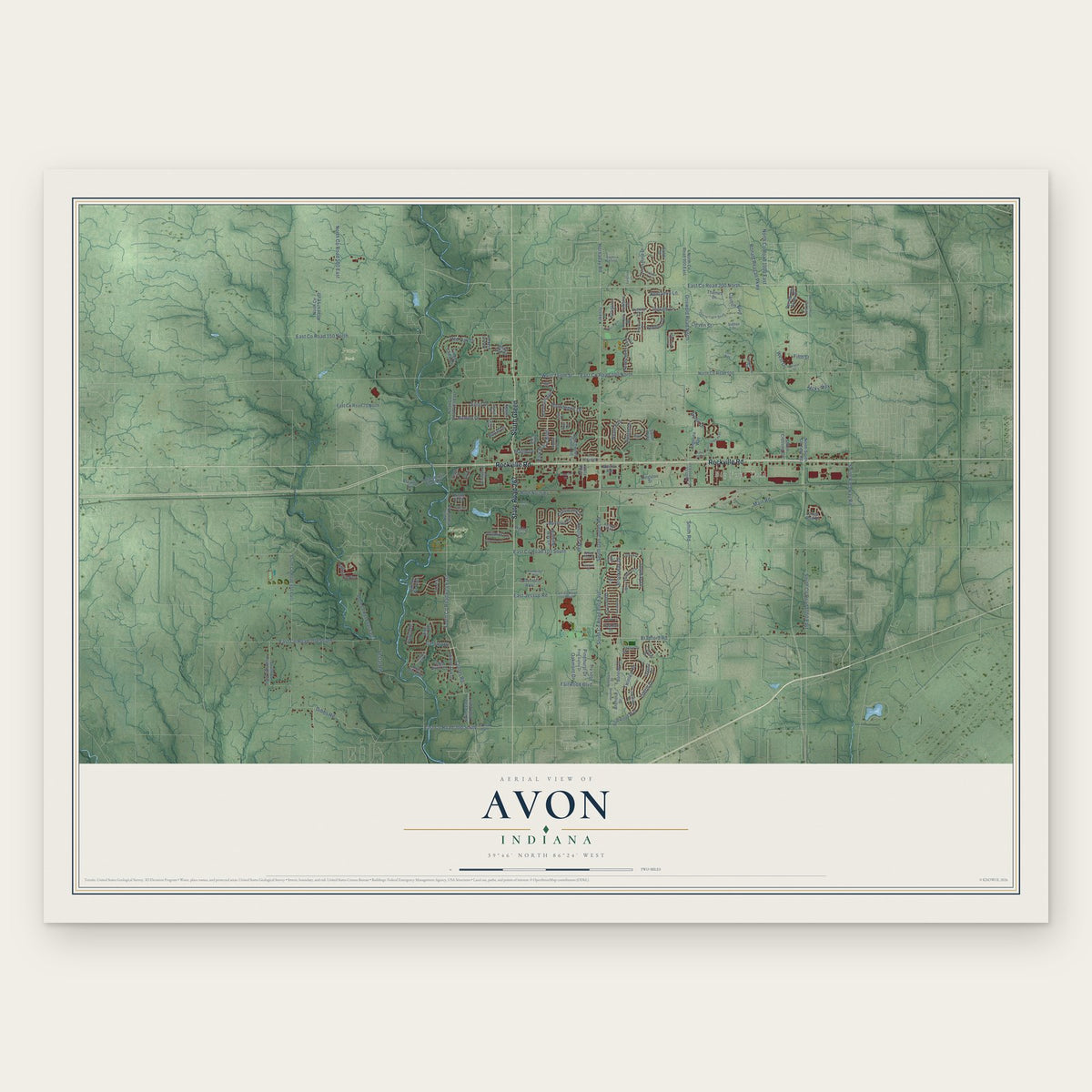
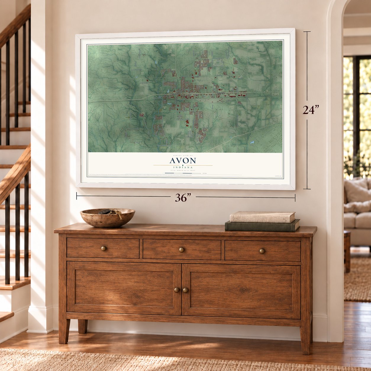
A new map of Avon, Indiana, made in 2026 and printed to order on thick archival matte paper.
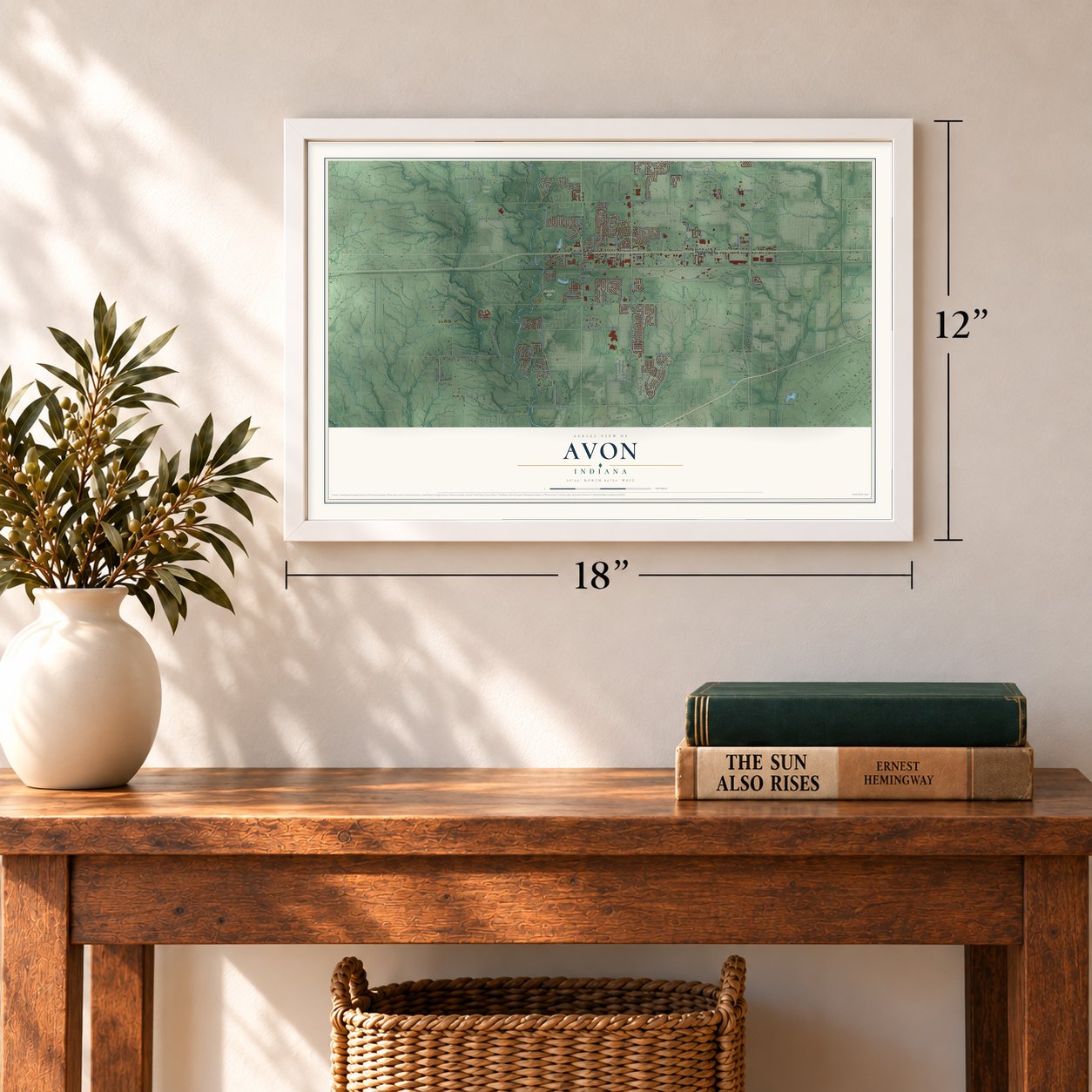
12" x 18" Archival Matte Print
A Map of Home. A Work of Art.
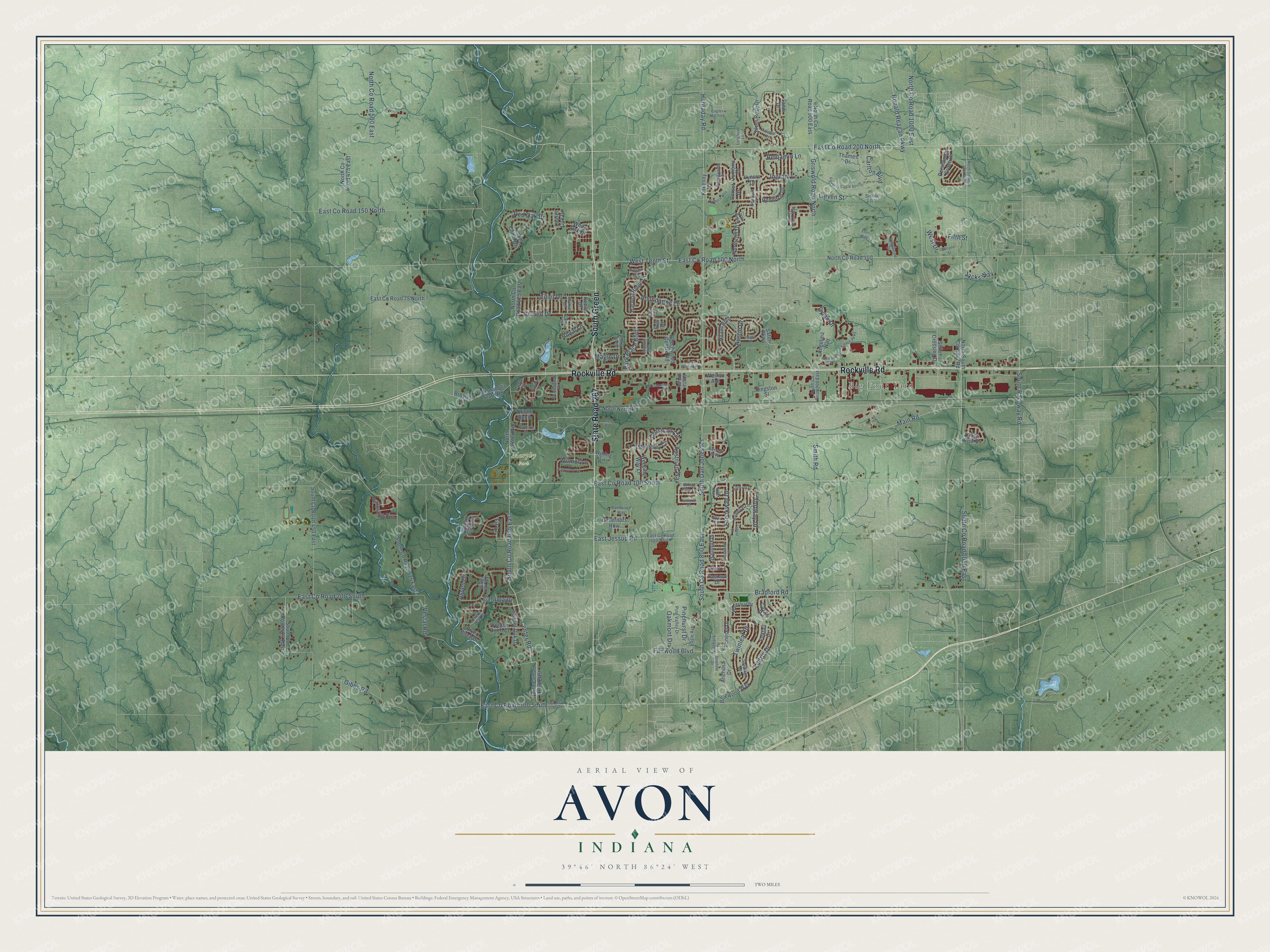
Explore Avon, Indiana from a whole new perspective. Created using aerial imagery and detailed geographic data, this map captures Avon building by building, with labeled streets, familiar landmarks, and shaded topographical relief that highlights the natural contours of the landscape.
Combining modern data with the timeless character of a vintage atlas, this map is just as interesting up close as it is beautiful on the wall. Whether you grew up in Avon, spent memorable years there, or call it home today, this unique map is a great way to celebrate a place that means something to you. Zoom in on the preview to look for your street, and then order a print to put your memories on the wall.
Three ways to hang it
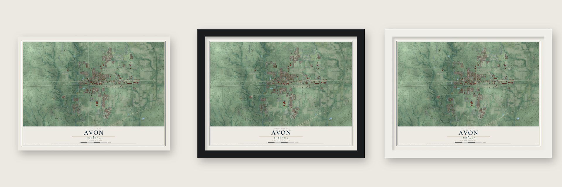
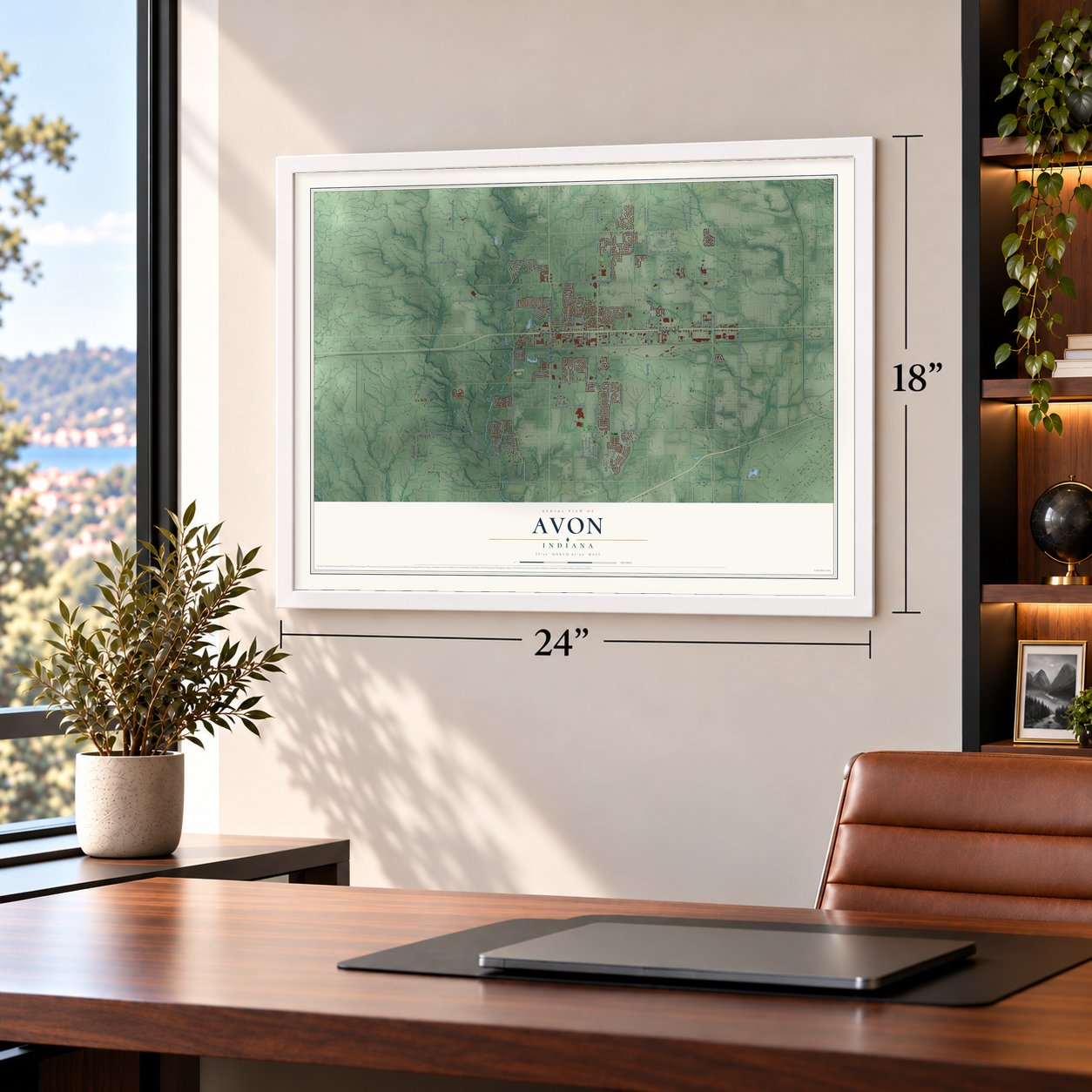
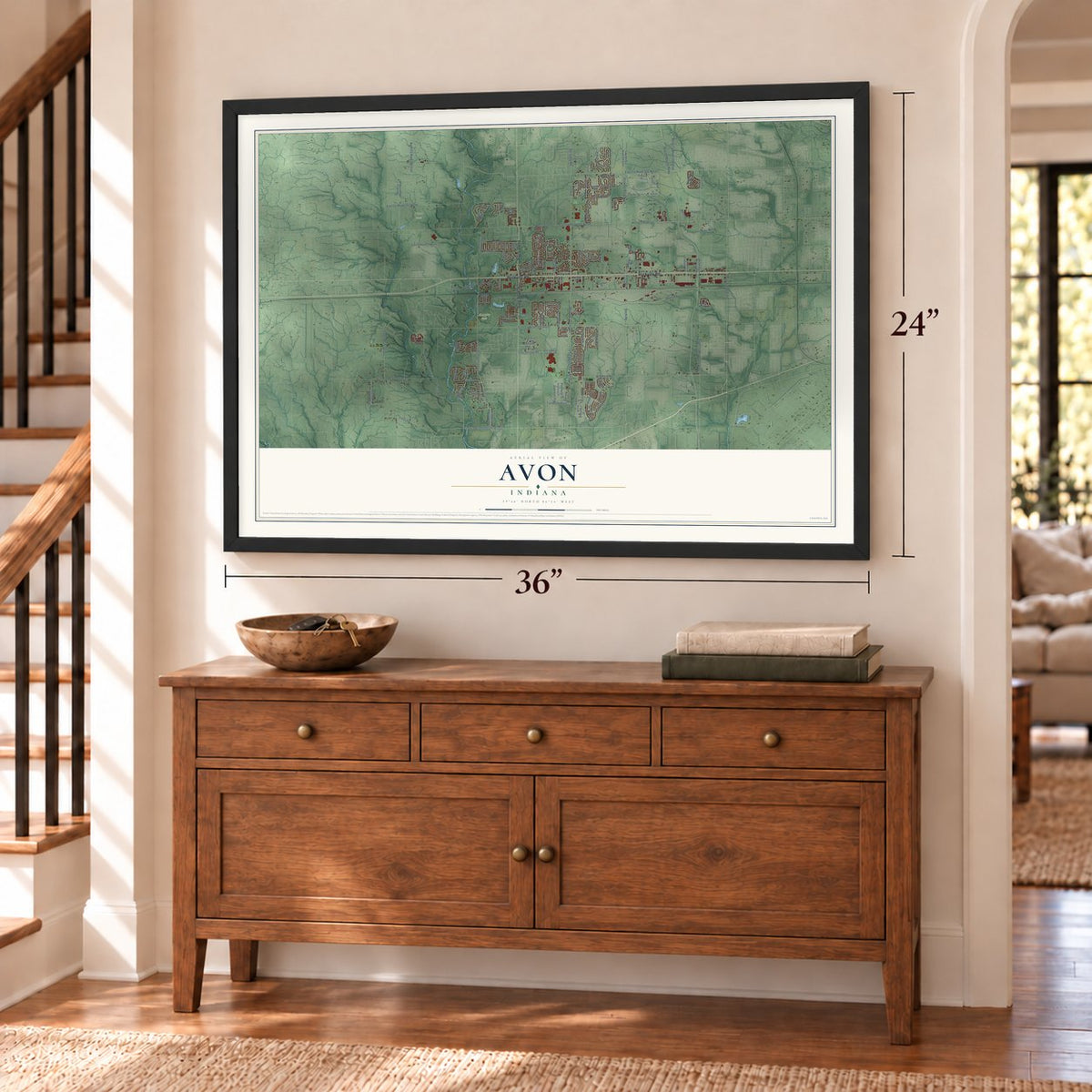
Unframed archival matte, a black wood frame or a white wood frame.
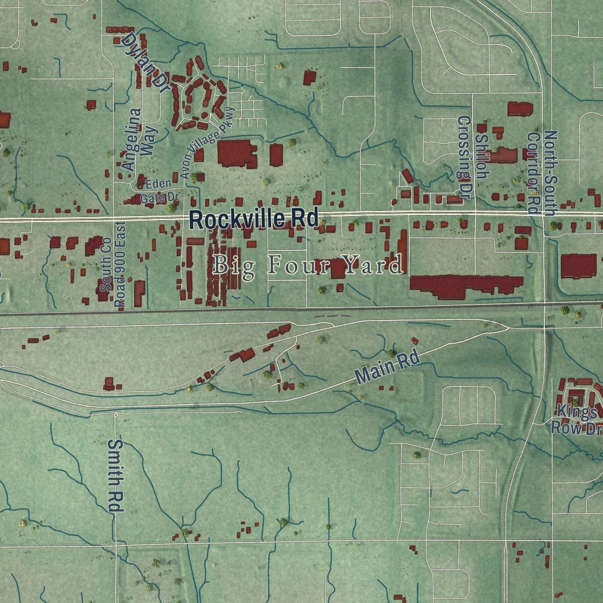
Up close
Geography Worth Displaying
This map was created using accurate cartographic data and authoritative geographic sources, including the U.S. Geological Survey and the Census Bureau. The map brings together terrain, waterways, roads, and building detail. The majority of the streets are labeled, houses are accurately depicted, and the topography is derived from government sources. Combining local data with carefully composed color and shading leads to this beautifully detailed Avon artwork for your wall.
Rather than simply showing street outlines, we’ve included as many of the street names as we could reasonably fit on the map while keeping their names legible. Zoom in on the high resolution preview to see exactly what’s on the map. We truly set out to create a statement piece for anyone who loves Avon. So whether it’s for you, or a gift for someone you love, we hope this map of Avon brings back fond memories.
About Avon, Indiana
Avon is a town of 21,474 people in eastern Hendricks County, just west of Indianapolis. Settlers first came around 1830, and when a post office opened in the area in 1833, the place was called Hampton. Its name changed several times over the years, as postmasters and local merchants came and went.
A post office named Smootsdell opened in 1868, and in 1870 it was renamed Avon, after the River Avon in England. The Indianapolis & St. Louis Railroad ran nearly through the middle of the township, and Avon grew up as a station on that line, with the township's only post office. That office closed in 1902, and Avon was finally incorporated as a town in 1995.
- Eleven voters in 1826The township around Avon held its first general election on Aug. 7, 1826, at the house of Daniel C. Hults. Only eleven people cast ballots that day.
- Best marching band in AmericaThe Avon Marching Black and Gold placed first at the Bands of America Grand Nationals on November 15, 2008, the first time in the school's history. It won again in 2009 and 2010, tying the longest national title streak any school has held. In those same years the band won nine Indiana state championships in ten seasons.
- A bison saver and racersZoologist William T. Hornaday, remembered as the savior of the bison, is counted among Avon's notable people. So are Al Unser Jr., who won the Indianapolis 500 twice, and the NHRA champions Larry Dixon and Andrew Hines.
Find your street
Names on the Avon map
Every name below is printed on this map. Look for your street, your school, the park where you played, or the pond down the road.
Places and landmarks3
- Big Four Yard
- Murphy Park
- Pecar Park
Streets and roads165
- State Road 267
- Rockville Road
- South Green
- Main Road
- East County Road 200 North
- Hornaday Road
- Abundance Lane
- Center Road
- South County Road 800 East
- East County Road 300 South
- Benjamin Lane
- Catalpa Drive
- East County Road 100 South
- Turfway Drive
- East County Road 100 North
- South County Road 625 East
- Ronald Reagan Parkway
- South Dan Jones Road
- East County Road 200 South
- Gibbs Road
- North County Road 500 East
- South County Road 1050 East
- Vestal Road
- Liatris Drive
- Griswold Road North
- West Tenth Street
- Bradford Road
- East County Road 150 North
- Red Oak Drive
- East Jessup Road
Show all 165 streets
- Juliet Drive
- North County Road 1000 East
- Austrian Way
- Fifth Street
- Twinleaf Drive
- Romeo Drive
- Austin Drive
- Park Place Boulevard
- Carlton Boulevard
- South Raceway Road
- Aspen Drive
- Dylan Drive
- Oakmont Drive
- Fairwood Boulevard
- Smith Road
- Wilmot Lane
- Corsican Circle
- Brookway Drive
- Jacks Way
- Ingram Lane
- West Drive
- Pinehurst Drive
- Lieven Street
- Maple Drive
- Royal Lane
- Fir Lane
- Boneset Drive
- North Center Road East
- Scarlet Oak Drive
- Satori Parkway
- Cassia Drive
- Anchusa Drive
- Silver Rose Drive
- Monterey Circle
- Vyners Lane
- North County Road 900 East
- East County Road 75 North
- South County Road 450 East
- South County Road 525 East
- Bluewood Way
- North County Road 100
- Beechwood Centre Road
- North Center Road
- Nicole Boulevard
- North County Road 625 East
- Laurel Oak Drive
- Kingston Street
- Harvest Ridge Drive
- North-South Corridor Road
- South County Road 425 East
- North County Road 475 East
- Weeping Way Lane
- Yellow Birch Court
- Angelina Way
- Timber Climb Drive
- North North Road
- Foxtail Drive
- Indianapolis State Road
- Baltustrol Run
- Shiloh Crossing Drive
- Governors Row
- White Oak Drive
- Persimmon Grove Drive
- Redditch Drive
- Balsam Fir Pass
- Stanford Drive
- Northcliff Drive
- Thames Drive
- Kings Row Drive
- River Birch Drive
- Cumbria Drive
- Thistle Bend
- Kilkenny Drive
- Sandi Drive
- Dorset Drive
- Penn Drive
- Broyles Road
- Weston Avenue
- Tasman Drive
- Wining Lane
- Vista Parkway
- Keeler Drive
- Erin Drive
- Colin Drive
- Siddon Drive
- East County Road 150 South
- South County Road 900 East
- Solidago Drive
- Water Oak Way
- Avon Parkway
- Pine Valley Drive
- Ballyganner Drive
- Balmoral Lane
- Waterleaf Drive
- White Pine Drive
- Bearcub Lane
- Queensway Drive
- Eagle Avenue
- Laurel Leaf Drive
- Kingwood Drive
- Ninebark Drive
- Burnett Boulevard
- Hamlet Drive
- Castle Court
- Deerfern Drive
- Tamarak Place
- County Road South
- North County Road 1050 East
- Production Drive
- Avon Village Parkway
- Foudray Circle South
- Capitol Drive
- Buhrstone Lane
- Belmont Drive
- Creek Way
- Meadow Glen Drive
- Kilborn Way
- Inland Drive
- Barberry Drive
- Avon Crossing Drive
- Rosewood Drive
- Talisker Drive
- Cambridge Way
- Stoney Pointe Way
- Eden Gate Drive
- Sydney Lane
- Cagles Mill Trce
- Avon Road
- David Court
- Locke Bend
- Longford Lane
- Second Street
- Labrot Court
- Autumn Court
- Eton Way
Names are listed as they appear on the printed map. Zoom into the product photos to find them.
The art of mapping a place
How This Map Was Made
Real places. Remarkable detail. Discover the layers that turn geographic data into a map of home.

The view from above
Aerial imagery reveals the character of the land: woodland, open fields, and the patterns of a place.

The shape of the land
Elevation data brings hills, valleys, and subtle changes in the landscape into view.

The details of home
Roads, waterways, and building footprints come together to make the map feel unmistakably local.

Geography becomes art
Considered color, shading, and typography bring the layers together in a map made for your wall.


Process illustrated with Mendon, Massachusetts. Aerial imagery: USDA NAIP. Terrain: USGS 3D Elevation Program. Map details and finished artwork: KNOWOL.
The Details
About This Print
Choose an archival matte print, or a black or white Ayous wood frame. The archival matte print is unframed.
Select your size and finish above to see the matching product image and price.
Materials & Craftsmanship
A contemporary map with the character of a classic atlas, printed on archival matte paper. Optional frames are made from Ayous wood.
Your printed map does not include the watermark shown in the full-map preview.
Shipping & Delivery
Free shipping within the United States. Every print is made to order in the USA.
Buying a gift? Add a note in your cart and we'll include it. We never put prices in the package.
Prints ship within 2 to 3 business days. Allow 7 to 10 days total from ordering for delivery. Timing may vary during holidays or periods of high order volume.
Read our shipping policy.
Returns and damaged prints
Each print is made to order. Change-of-mind refunds are not available after production.
If your print arrives damaged, misprinted or incorrect, contact support@knowol.com within 30 days of receiving it. Include your order number, photos and a description of the issue.
Read our full refund and replacement policy. For questions about your order, email support@knowol.com.
Find your town
Looking for another city?
Find a map of home in our Indiana collection, or any town in the country.
Nearby
Maps of towns near Avon
Know someone from one of these towns? Their map makes a great gift.
 Plainfield
, Indiana
From $39.99See the map
 Brownsburg
, Indiana
From $39.99See the map
 Danville
, Indiana
From $39.99See the map
More maps nearby: Clermont, Cartersburg, Belleville, Speedway and Clayton.