
Search for another town




Free U.S. delivery 7 to 10 days after you order
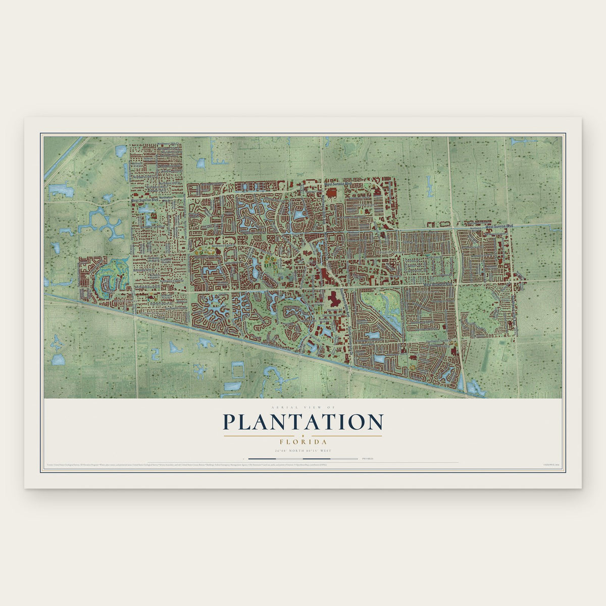
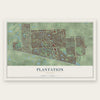
Plantation, Florida Map Art
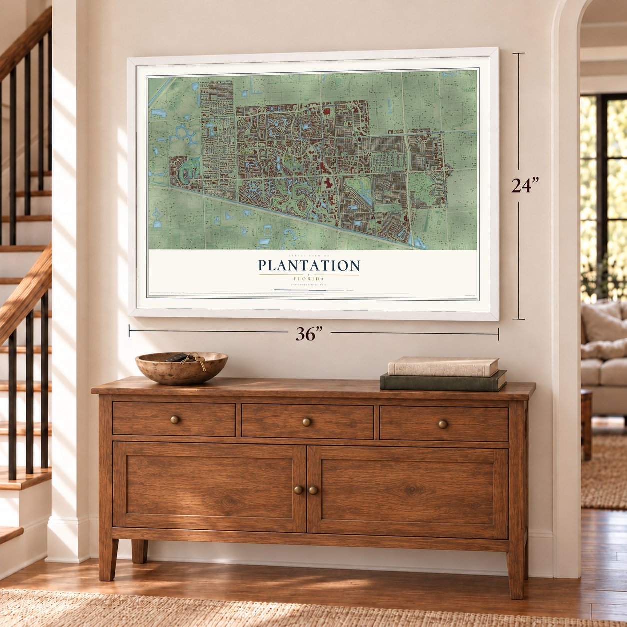
A new map of Plantation, Florida, made in 2026 and printed to order on thick archival matte paper.
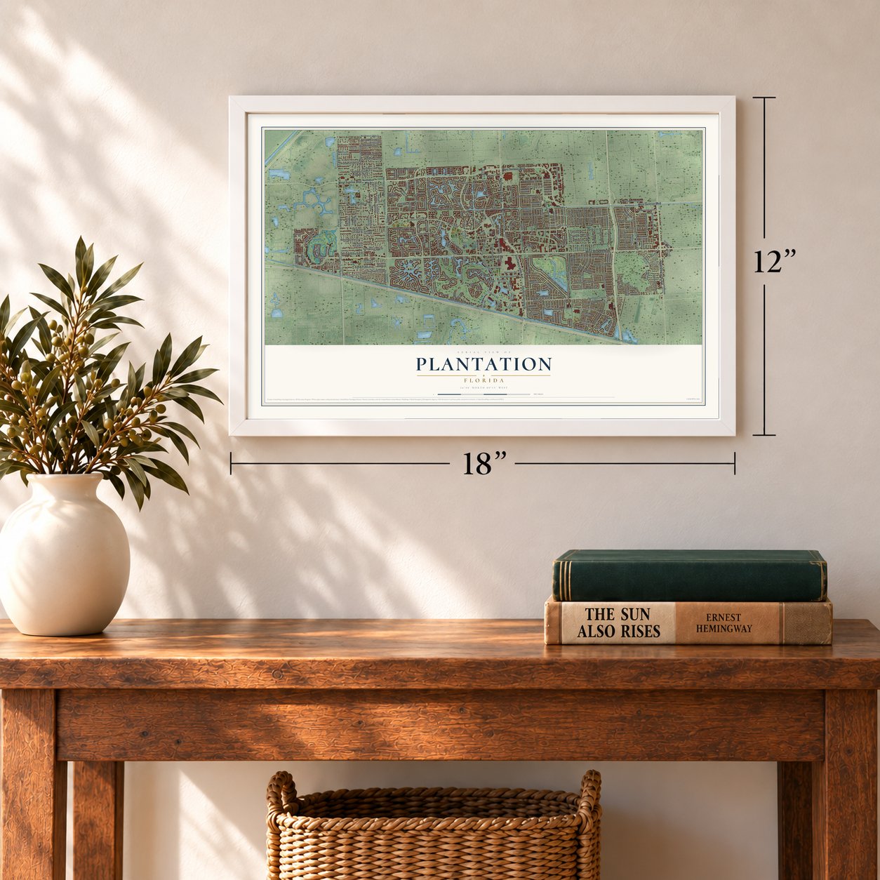
12" x 18" Archival Matte Print
A Map of Home. A Work of Art.
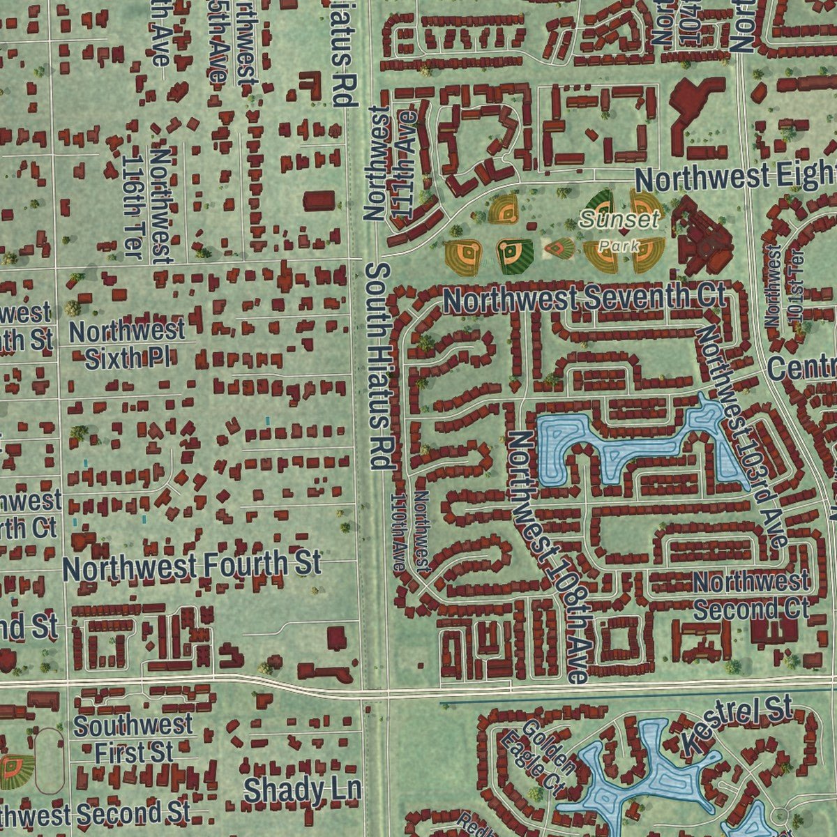
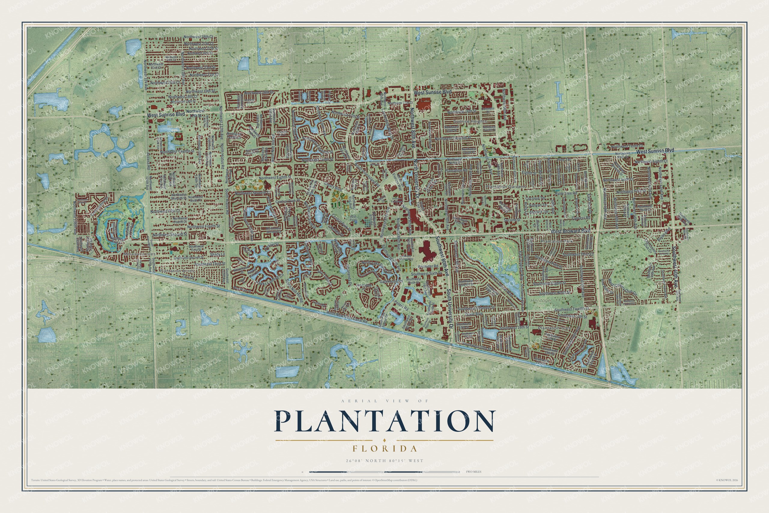
Explore Plantation, Florida from a whole new perspective. Created using aerial imagery and detailed geographic data, this map captures Plantation building by building, with labeled streets, familiar landmarks, and shaded topographical relief that highlights the natural contours of the landscape.
Combining modern data with the timeless character of a vintage atlas, this map is just as interesting up close as it is beautiful on the wall. Whether you grew up in Plantation, spent memorable years there, or call it home today, this unique map is a great way to celebrate a place that means something to you. Zoom in on the preview to look for your street, and then order a print to put your memories on the wall.
Three ways to hang it
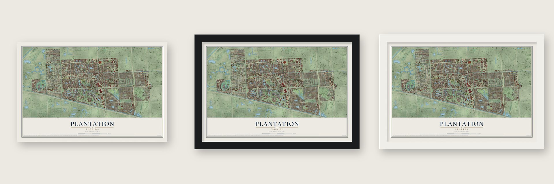
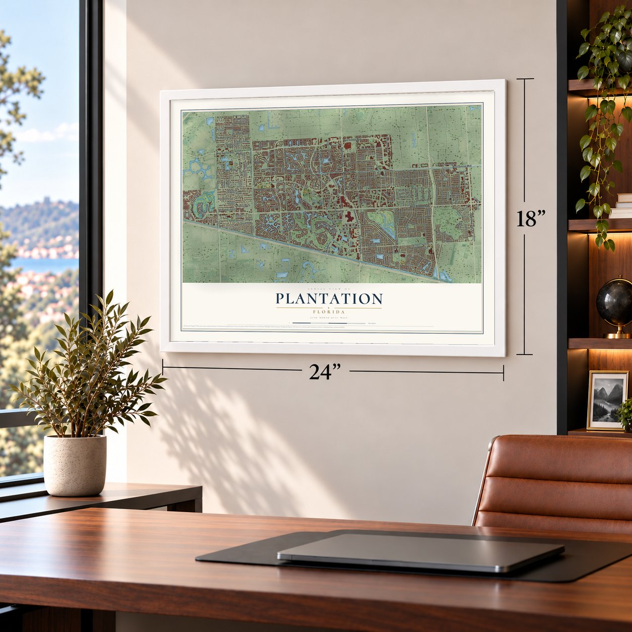
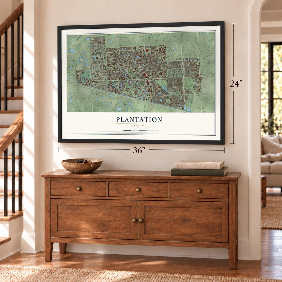
Unframed archival matte, a black wood frame or a white wood frame.
Up close
Geography Worth Displaying
This map was created using accurate cartographic data and authoritative geographic sources, including the U.S. Geological Survey (USGS) and FEMA. The map brings together terrain, waterways, roads, and building detail. The majority of the streets are labeled, houses are accurately depicted, and the topography is derived from government sources. Combining local data with carefully composed color and shading leads to this beautifully detailed Plantation artwork for your wall.
Rather than simply showing street outlines, we’ve included as many of the street names as we could reasonably fit on the map while keeping their names legible. Zoom in on the high resolution preview to see exactly what’s on the map. We truly set out to create a statement piece for anyone who loves Plantation. So whether it’s for you, or a gift for someone you love, we hope this map of Plantation brings back fond memories.
Explore the full map of Plantation, Florida and read about the local places it shows.
About Plantation, Florida
Plantation is a city of 91,750 people in Broward County. Before the 20th century its ground was Everglades wetland, often under two or three feet of water, where Seminole people hunted, fished and camped. In January 1909 Adam A. Boggs and A.B. Sanders formed the Everglades Plantation Company to raise rice beside the North New River Canal, which crews were still digging. The rice failed, and after the company won its long dispute with the state's trustees in 1914, it sold land instead.
Frederick C. Peters, a millionaire whose family fortune came from shoes, came to Goulds, Florida, in 1931 to raise potatoes and cattle. Seeking better pasture, he bought 10,000 acres here with a $350,000 mortgage, partly from the old rice company. He hired the architect Russell Pancoast to draw a master plan, and in 1946 the state chartered a water control district to drain the land. The first houses rose on East Acre Drive in 1947, and the city was incorporated on April 23, 1953, with 300 residents and Ellsworth D. Gage as its first mayor.
- A full acre with every homeChauncey Clark Sr. proposed selling two-bedroom houses on single-acre lots, each with a 20-tree orchard, for $10,241. Early on, 93 straight days of rain and two hurricanes flooded and wrecked many of the new homes, and Clark paid to repair every one himself. His son's house was the first finished, in 1948, and about 120 homes went up that year. Flooding stopped sales in 1949, and Clark's company was dissolved, with its assets passing to Peters.
- A school named for BereniceIn 1959 the city got its first school when Peters Elementary opened on 10 acres given by Frederick Peters. The school honored his wife, Berenice Todd Peters. Four years later, in 1963, the city made its motto official: "From the Wilderness, This City."
- A mall on cow pasturePeters died in 1964, and his heirs then sold 5,400 acres west of University Drive to John H. Cleary's Gulfstream Land Development Company. Gulfstream first planned a community called Jacaranda, then turned to business and made deals with Motorola, American Express and the mall's builders. The Broward Mall opened on former cow pasture in 1978, and it was then the largest mall in the Southern United States.
- Liberty Tree Park, 1976For the nation's bicentennial in 1976, the city planted a 45-foot oak in Fifth Street Park to represent the Liberty Tree, and the park took the tree's name. In 1977 the city joined Broward County in buying a piece of the old Peters farm, and that land opened as Plantation Heritage Park in 1984.
- Caddyshack's poolThe Plantation Golf Course and Country Club was finished in 1950 to draw Broward Boulevard farther west. Three decades later, in 1980, Caddyshack filmed its pool scenes there. In 1998 Plantation City Hall played the high school in There's Something About Mary.
Find your street
Names on the Plantation map
Every name below is printed on this map. Look for your street, your school, the park where you played, or the pond down the road.
Places and landmarks9
- Melalevca Isles
- Plantation Acres
- Heritage Park
- Sunset Park
- Volunteer Park
- Plantation Gardens
- Plantation Isles
- Plantation Park
- Sunrise Heights
Streets and roads280
- Northwest 80th Avenue
- South University Drive
- Southwest 80th Avenue
- West Broward Boulevard
- West Sunrise Boulevard
- North University Drive
- Southwest 40th Avenue
- Northwest Second Street
- Southwest 54th Avenue
- Northwest 108th Avenue
- Access Road
- East Tropical Way
- Northwest 124 Avenue
- Northwest 118th Avenue
- Southwest Ninth Street
- Penmiter Road
- Northwest 82nd Avenue
- Northwest 43rd Avenue
- Gatehouse Road
- Peters Road
- Southwest Twelfth Street
- Cleary Boulevard
- Northwest Eighth Street
- Northwest Fifth Street
- Davie Boulevard
- North Pine Island Road
- North Nob Hill Road
- Northwest 87th Avenue
- Northwest Sixth Street
- Northwest Fourth Street
Show all 280 streets
- Northwest Twelfth Street
- Southwest 87th Avenue
- Central Park Drive
- Northwest 112th Avenue
- Southwest Third Street
- Northwest Tenth Street
- Northwest Tenth Court
- Northwest Eleventh Street
- South Hiatus Road
- South Nob Hill Road
- Northwest Sixth Court
- Northwest Fifth Court
- Southwest Sixth Street
- Northwest 70th Avenue
- Commodore Drive
- Plantation Road
- Northwest 17th Street
- Southwest 75th Avenue
- Eighth Street
- Northwest 16th Street
- Cypress Road
- Second Street
- Southwest Eighth Street
- North Hiatus Road
- Southwest Fifth Street
- Hawks Landing Circle
- Northwest 136th Avenue
- Southwest 16th Street
- Northwest 18th Court
- Northwest 66th Avenue
- Southwest Eleventh Street
- North New River Canal Road
- Northwest Eighth Court
- Northwest Seventh Court
- West Tropical Way
- Southwest 20th Street
- Holly Lane
- Lauderdale West Drive
- Northwest 49th Avenue
- Northwest Eleventh Place
- Northwest 18th Drive
- Central Park Place
- Northwest 76th Avenue
- Northwest 84th Avenue
- Northwest 99th Avenue
- Northwest 94th Avenue
- North Fig Tree Lane
- Northwest 46th Avenue
- East Acre Drive
- Northwest 27th Court
- Northwest 27th Street
- Northwest 21st Court
- Northwest 28th Court
- Northwest 20th Court
- Southwest 55th Avenue
- North Bel Air Drive
- Southwest 13th Street
- Northwest 48th Avenue
- Northwest 19th Street
- Pine Terrace
- Tara Drive
- Northwest 73rd Avenue
- Torchwood Avenue
- 59th Avenue
- Northwest 42nd Avenue
- Jacaranda Drive
- West Country Club Circle
- Southwest Third Court
- Palm Tree Road
- North Lake Dasha Drive
- Northwest 23rd Street
- Bryan Boulevard
- Almond Terrace
- Coconut Terrace
- Banyan Terrace
- Sea Turtle Drive
- Camellia Court
- Chelsea Drive
- Kestrel Street
- Shady Lane
- 93rd Terrace
- Northwest Second Court
- Northwest 78th Avenue
- American Express Way
- Southwest 52nd Avenue
- Southwest 63rd Avenue
- Northwest 14th Street
- Northwest 124th Avenue
- Southwest 21st Street
- Northwest 38th Way
- Southwest First Street
- Northwest Third Street
- Northwest Fourth Court
- Southwest 65th Avenue
- Northwest 103rd Avenue
- Southwest 19th Street
- Northwest 47th Avenue
- Green Tree Lane
- Northwest 102nd Avenue
- South Pine Island Road
- Northwest Seventh Street
- Northwest First Street
- Southwest Second Street
- Southwest 59th Avenue
- Northwest 13th Street
- Northwest 65th Avenue
- Southwest Seventh Street
- Southwest Tenth Street
- Northwest Ninth Street
- East Country Club Circle
- Northwest 85th Avenue
- Northwest 18th Street
- Northwest Ninth Court
- Northwest 74th Avenue
- Southwest 15th Street
- Northwest Third Court
- Northwest 75th Terrace
- Southwest 124th Avenue
- Northwest 26th Street
- Northwest 106th Avenue
- Northwest Tenth Place
- Northwest 17th Court
- Northwest 68th Avenue
- Southwest 112th Avenue
- Southwest 53rd Avenue
- Southwest Sixth Court
- Southwest 78th Avenue
- Southwest 17th Street
- Northwest 101st Avenue
- Blue Palm Street
- Northwest 115th Avenue
- Northwest 116th Avenue
- Northwest 135th Way
- Northwest 114th Avenue
- Northwest 104th Avenue
- Southwest 69th Avenue
- Southwest 67th Terrace
- Southwest 72nd Avenue
- Plantation Circle East
- Northwest 100th Way
- Southwest 42nd Avenue
- Northwest 111th Avenue
- Northwest Sixth Place
- Northwest 121st Avenue
- Southwest 82nd Avenue
- Southwest 44th Avenue
- Jacaranda Lane
- Southwest 52nd Terrace
- Northwest 120th Avenue
- Northwest 91st Avenue
- Wimbledon Lakes Drive
- Northwest Seventh Drive
- Northwest 93rd Avenue
- Northwest First Place
- Pine Ridge Drive
- Northwest 109th Avenue
- Hawks Vista Street
- Central Prk Place North
- Farmington Drive
- Bayberry Drive
- Northwest 87th Road
- Cleary Court
- Northwest Twelfth Drive
- Trellis Road
- 91st Trail
- Northwest 90th Drive
- Northwest 127th Avenue
- Beachwood Lane
- Northwest 23rd Court
- Holloway Drive
- Whitehawk Street
- Northwest 133rd Road
- Southwest 82nd Terrace
- Southwest 69th Terrace
- Northwest 116th Terrace
- Colonels Court
- Zinnia Lane
- Jasmine Court
- Northwest 72nd Avenue
- Northwest Eleventh Court
- Northwest Twelfth Court
- South Flamingo Road
- Southwest 66th Avenue
- Northwest 25th Street
- Southwest 18th Street
- Northwest 95th Avenue
- Renmar Drive
- Northwest 122nd Avenue
- Southwest 63rd Terrace
- Northwest 45th Avenue
- Northwest 81st Terrace
- Golden Eagle Court
- South Lake Dasha Drive
- Orchid Drive
- Garden Court
- Petunia Drive
- Northwest 90th Terrace
- Mockingbird Lane
- Southwest 49th Terrace
- Northwest 100th Terrace
- Northwest 130th Avenue
- West Campanelli Drive
- Ridgewood Lane
- Bayberry Point Drive
- East Coco Plum Circle
- Northwest 114th Terrace
- Key Plum Street
- Southwest 38th Avenue
- Baldwin Palm Avenue
- Heron Lake Terrace
- Hawk Street
- East Plantation Circle
- Northwest 110th Avenue
- Southwest 96th Terrace
- Northwest 97th Avenue
- South Fig Tree Lane
- Southwest 75th Terrace
- Northwest 85th Terrace
- Southwest 14th Street
- American Expressway
- Southwest Fourth Street
- Northwest 86th Avenue
- Northwest 18th Place
- Northwest 89th Avenue
- Northwest 13th Court
- Northwest 96th Avenue
- Southwest 70th Avenue
- Federated West Roadway
- Northwest 101st Terrace
- Vineyard Lake Drive
- Northwest 70th Terrace
- Northwest 87th Lane
- Southwest 125th Avenue
- Gardenia Lane
- Ixora Lane
- Northwest 100th Avenue
- Southwest 20th Court
- Northwest 88th Way
- Southwest 80th Terrace
- Fairway Cove Lane
- Southwest 71st Avenue
- Jacaranda Ctry Club Drive
- Redhawk Street
- Southwest Eleventh Court
- Leigh Palm Avenue
- Royal Palm Court
- North Hibiscus Court
- Northwest Sixth Drive
- Northwest 93rd Way
- Harrier Street
Names are listed as they appear on the printed map. Zoom into the product photos to find them.
The art of mapping a place
How This Map Was Made
Real places. Remarkable detail. Discover the layers that turn geographic data into a map of home.

The view from above
Aerial imagery reveals the character of the land: woodland, open fields, and the patterns of a place.

The shape of the land
Elevation data brings hills, valleys, and subtle changes in the landscape into view.

The details of home
Roads, waterways, and building footprints come together to make the map feel unmistakably local.

Geography becomes art
Considered color, shading, and typography bring the layers together in a map made for your wall.


Process illustrated with Mendon, Massachusetts. Aerial imagery: USDA NAIP. Terrain: USGS 3D Elevation Program. Map details and finished artwork: KNOWOL.
The Details
About This Print
Choose an archival matte print, or a black or white Ayous wood frame. The archival matte print is unframed.
Select your size and finish above to see the matching product image and price.
Materials & Craftsmanship
A contemporary map with the character of a classic atlas, printed on archival matte paper. Optional frames are made from Ayous wood.
Your printed map does not include the watermark shown in the full-map preview.
Shipping & Delivery
Free shipping within the United States. Every print is made to order in the USA.
Buying a gift? Add a note in your cart and we'll include it. We never put prices in the package.
Prints ship within 2 to 3 business days. Allow 7 to 10 days total from ordering for delivery. Timing may vary during holidays or periods of high order volume.
Read our shipping policy.
Returns and damaged prints
Each print is made to order. Change-of-mind refunds are not available after production.
If your print arrives damaged, misprinted or incorrect, contact support@knowol.com within 30 days of receiving it. Include your order number, photos and a description of the issue.
Read our full refund and replacement policy. For questions about your order, email support@knowol.com.
Find your town
Looking for another city?
Find a map of home in our Florida collection, or any town in the country.
Nearby
Maps of towns near Plantation
Know someone from one of these towns? Their map makes a great gift.
 Sunrise
, Florida
From $39.99See the map
 Lauderhill
, Florida
From $39.99See the map
 Davie
Davie, Florida
From $39.99See the map
More maps nearby: Broadview Park, Lauderdale Lakes, Washington Park, Boulevard Gardens and Roosevelt Gardens.