
Search for another town



Free U.S. delivery 7 to 10 days after you order
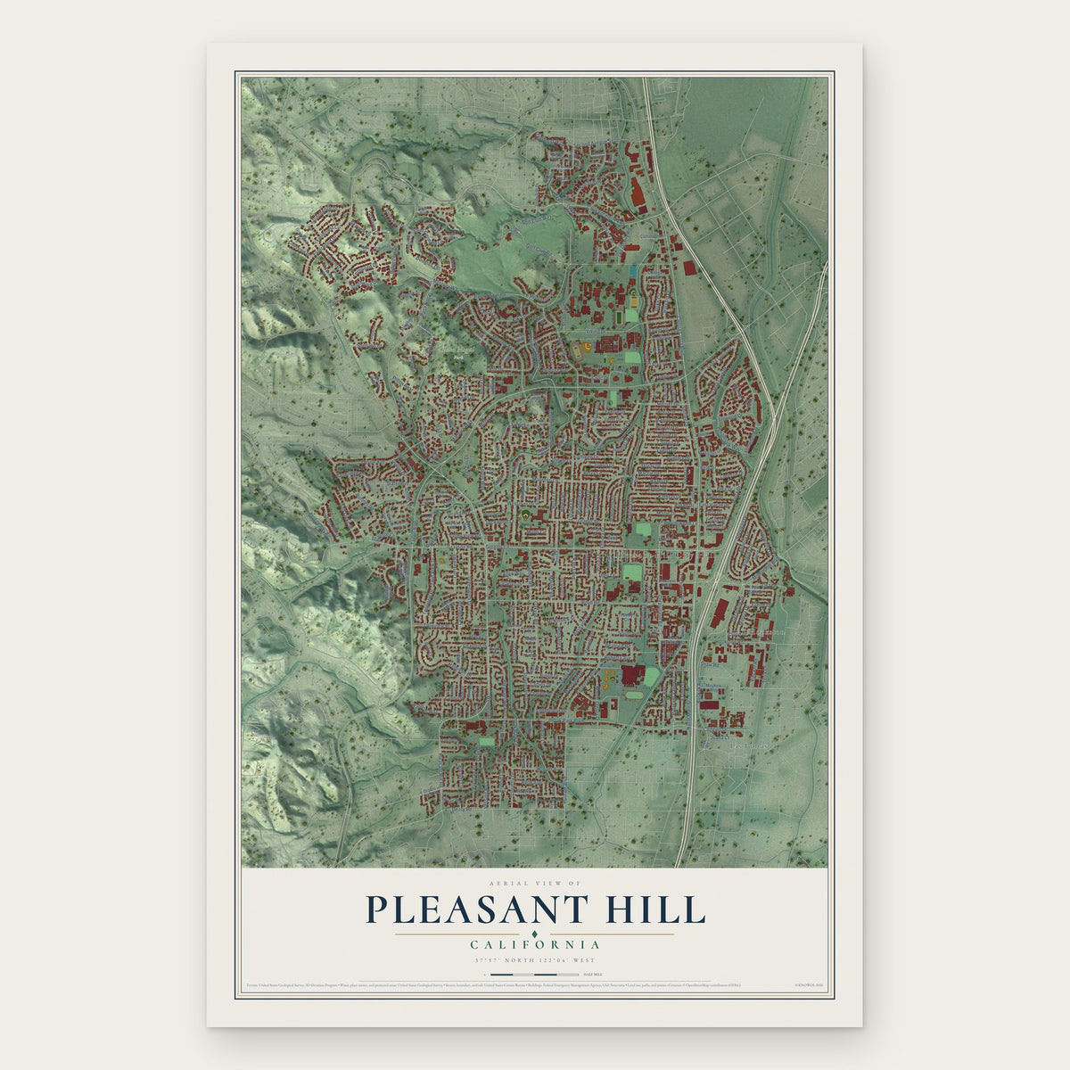
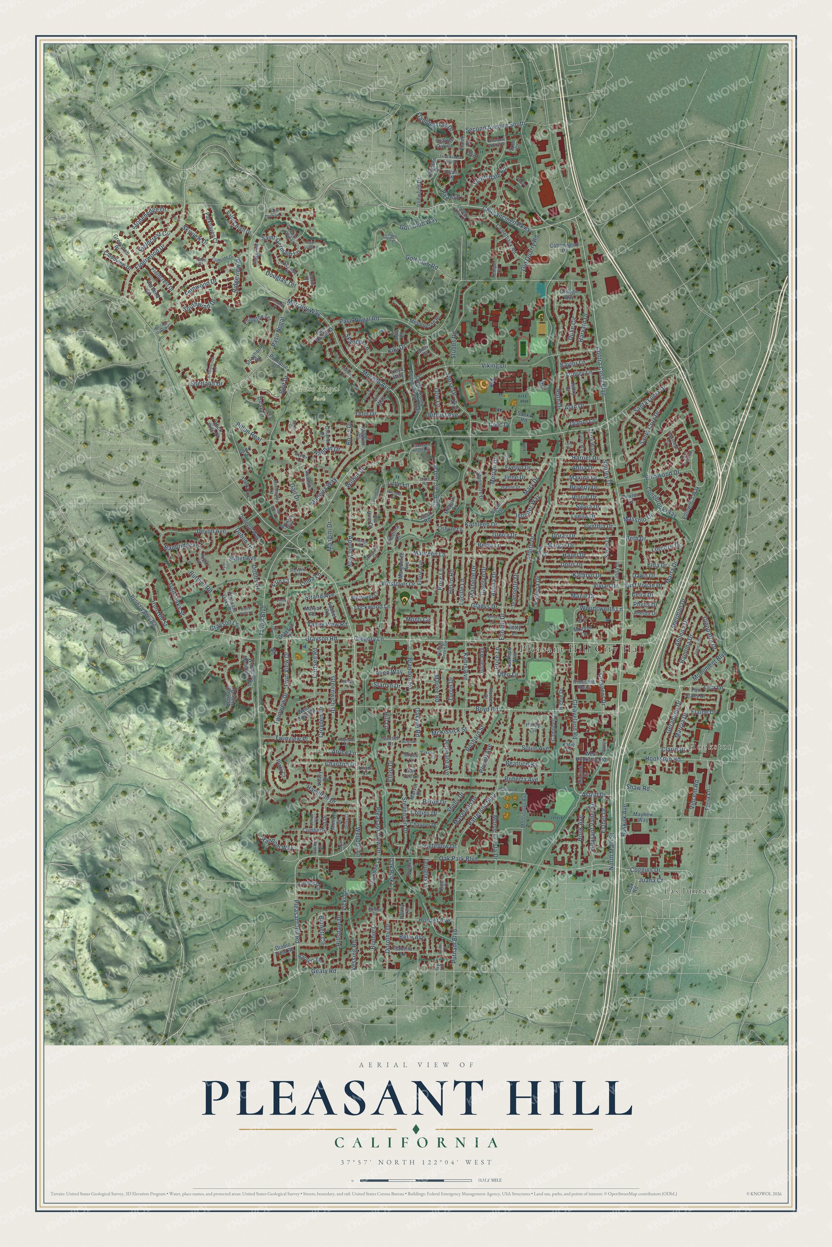
Pleasant Hill, California Map Art
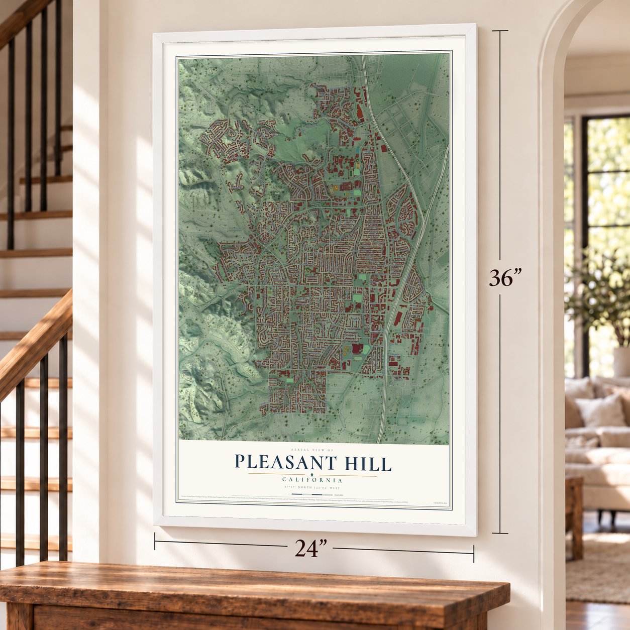
A new map of Pleasant Hill, California, made in 2026 and printed to order on thick archival matte paper.
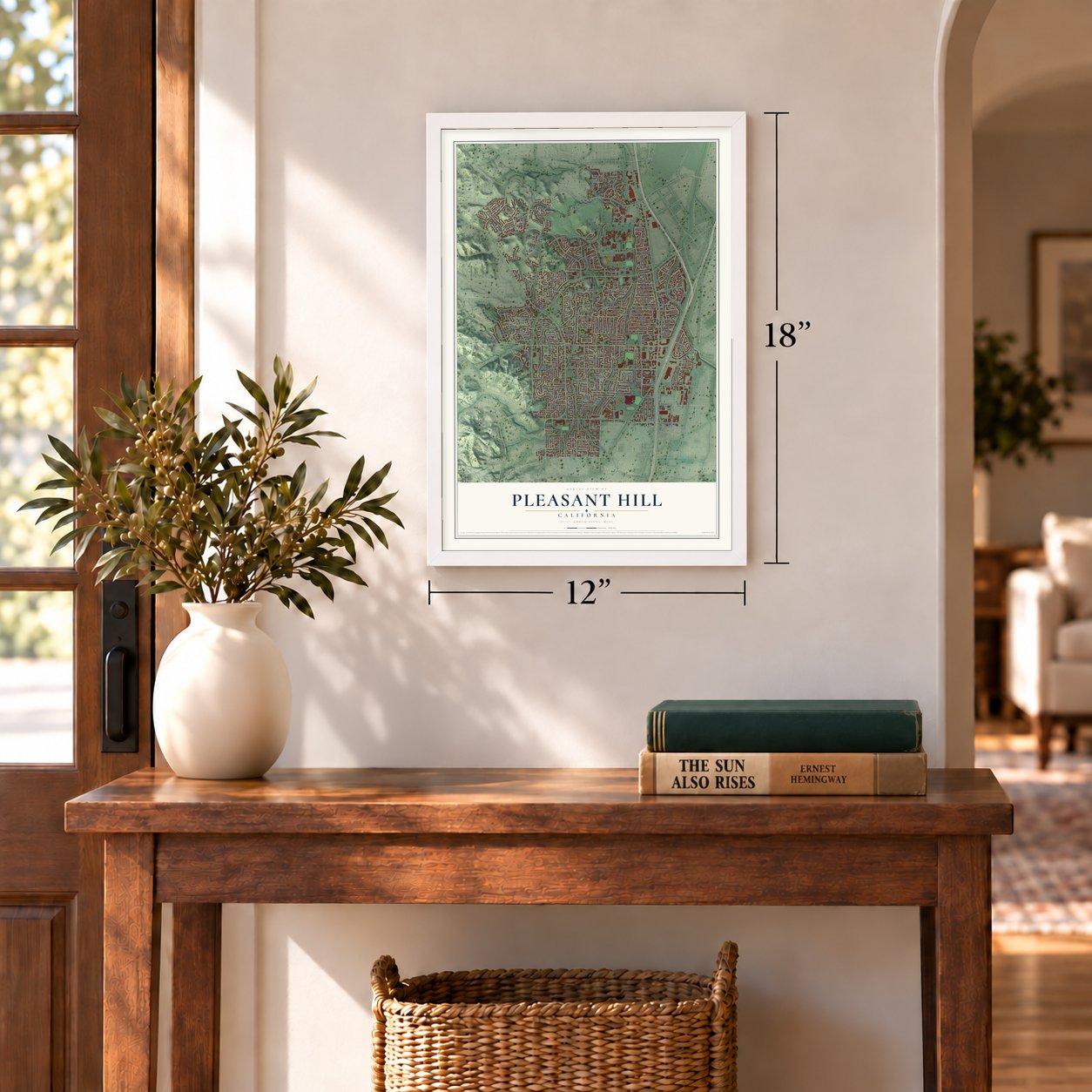
12" x 18" Archival Matte Print
A Map of Home. A Work of Art.
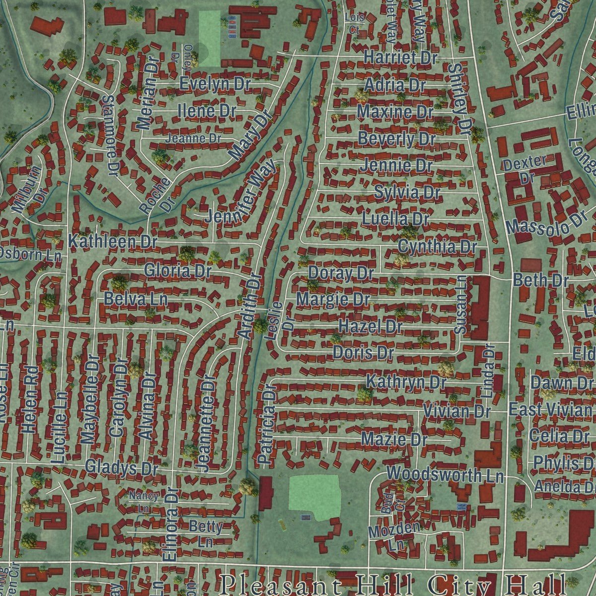
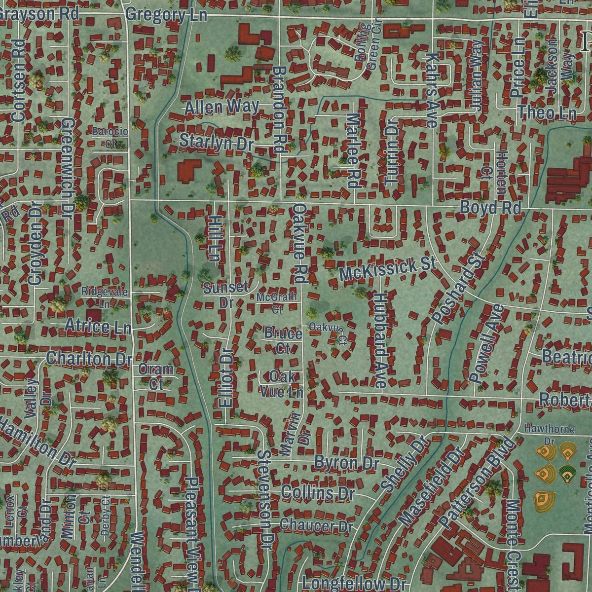
Explore Pleasant Hill, California from a whole new perspective. Created using aerial imagery and detailed geographic data, this map captures Pleasant Hill building by building, with labeled streets, familiar landmarks, and shaded topographical relief that highlights the natural contours of the landscape.
Combining modern data with the timeless character of a vintage atlas, this map is just as interesting up close as it is beautiful on the wall. Whether you grew up in Pleasant Hill, spent memorable years there, or call it home today, this unique map is a great way to celebrate a place that means something to you. Zoom in on the preview to look for your street, and then order a print to put your memories on the wall.
Three ways to hang it
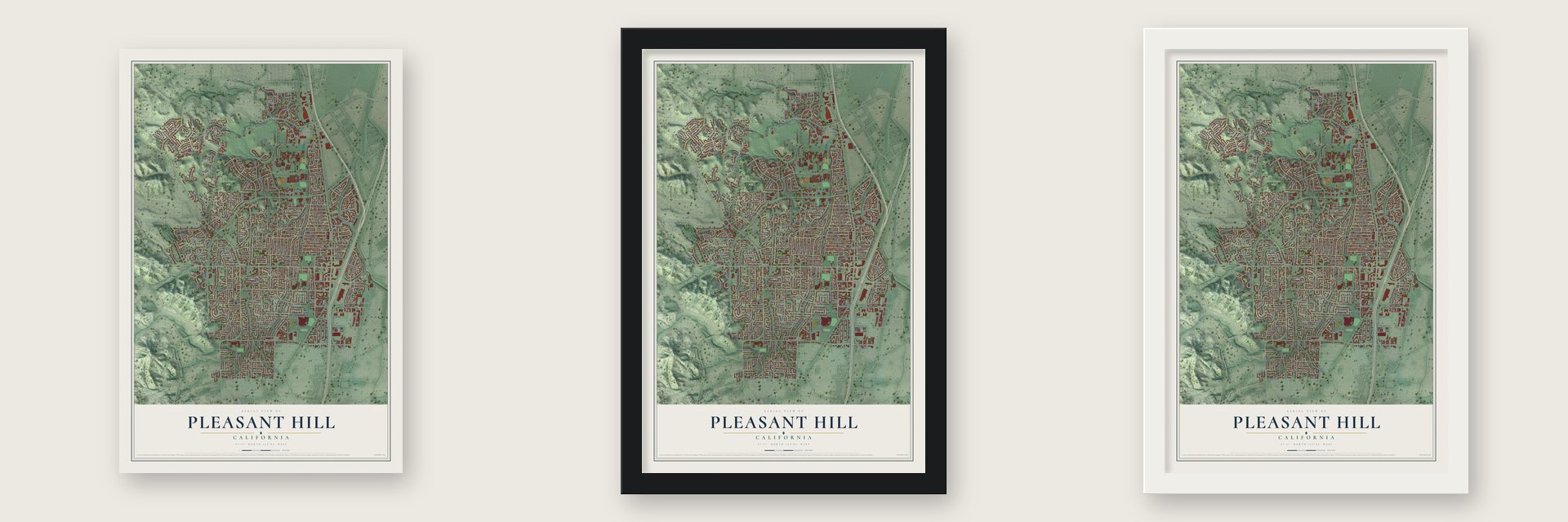
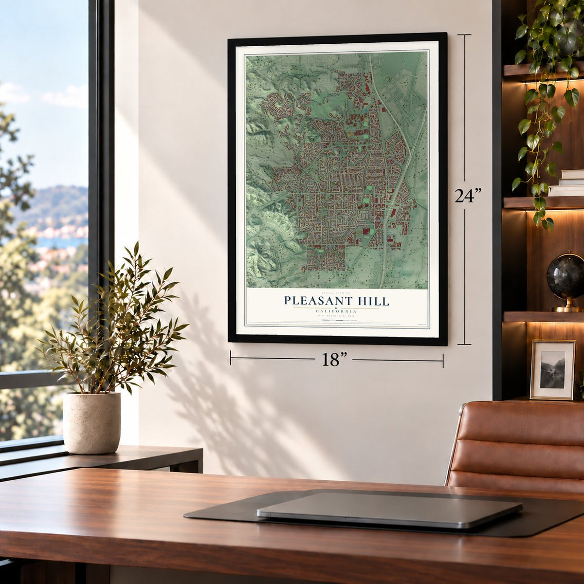
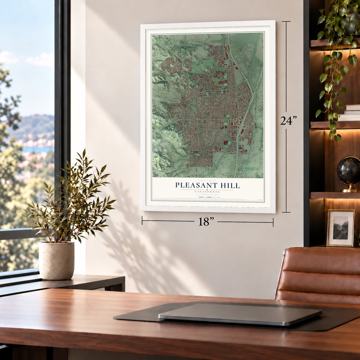
Unframed archival matte, a black wood frame or a white wood frame.
Up close
Geography Worth Displaying
This map was created using accurate cartographic data and authoritative geographic sources, including the U.S. Geological Survey and the Census Bureau. The map brings together terrain, waterways, roads, and building detail. The majority of the streets are labeled, houses are accurately depicted, and the topography is derived from government sources. Combining local data with carefully composed color and shading leads to this beautifully detailed Pleasant Hill artwork for your wall.
Rather than simply showing street outlines, we’ve included as many of the street names as we could reasonably fit on the map while keeping their names legible. Zoom in on the high resolution preview to see exactly what’s on the map. We truly set out to create a statement piece for anyone who loves Pleasant Hill. So whether it’s for you, or a gift for someone you love, we hope this map of Pleasant Hill brings back fond memories.
Read the story behind this map of Pleasant Hill, California from 2026.
About Pleasant Hill, California
Pleasant Hill is a city of 34,613 people in Contra Costa County, in the East Bay. Bay Miwok people lived here before colonization. In 1891 the Southern Pacific opened its San Ramon Valley Branch Line with two flag stops on this ground. One was Hookston, near today's Hookston Road crossing of the Iron Horse Regional Trail. The other was Sparkle, where the line met the Sacramento Northern Railway at the site of today's Pleasant Hill BART station.
Prohibition changed the land in the 1920s. Many of the local vineyards were pulled out, and the old farm fields were cut into lots for houses. Most of the building came after World War II, so the area got its first post office only in 1948, and Pleasant Hill was incorporated as a city in 1961.
- A 150-ton memorialMonument Boulevard takes its name from the Soldiers Memorial Monument, raised on December 11, 1927, to honor Contra Costa County's World War I veterans and war dead. The formed-concrete statue stands 45 feet tall and shows one black and three white soldiers. It first stood where Monument Boulevard met the old Contra Costa Highway. In 1954 it was moved to Boyd Road and Contra Costa Boulevard to clear the way for State Route 21.
- The Dome opens, 1967Century 21 Theaters built a dome theater with 895 seats off I-680, and it first opened its doors on February 21, 1967. Architect Vincent G. Raney gave it a 50-foot domed ceiling and a huge curved screen made for Cinerama. The young city soon treated the domed cinema as a landmark, and four more auditoriums were added in 1973.
- The Dome's last show, 2013Locals kept calling the theater the Dome for decades. Business fell off as people watched movies at home, and it closed on April 21, 2013, after a final showing of 2001: A Space Odyssey. On May 8, 2013, the owner tore the building down to make room for a Dick's Sporting Goods.
- A Main Street at lastFor most of its life the city had no real downtown. Planning began in 1991 to rebuild the area around Monument and Contra Costa boulevards, and Downtown Pleasant Hill opened in July 2000 as a privately run outdoor shopping center laid out like a small Main Street.
- City hall by Charles MooreArchitect Charles Moore designed Pleasant Hill's city hall. The building was finished in the late 20th century and has won several awards for its design.
Find your street
Names on the Pleasant Hill map
Every name below is printed on this map. Look for your street, your school, the park where you played, or the pond down the road.
Places and landmarks4
- Pleasant Hill City Hall
- Paso Nogal Park
- Hookston
- Las Juntas
Streets and roads350
- Contra Costa Boulevard
- Pleasant Hill Road
- Gregory Lane
- Grayson Road
- Chilpancingo Parkway
- North Main Street
- Linda Lane
- Taylor Boulevard
- Lisa Lane
- Astrid Drive
- Oak Park Boulevard
- Cleaveland Road
- Elderwood Drive
- Coggins Drive
- Buskirk Avenue
- Woodsworth Lane
- Mercury Way
- Morello Avenue
- Golf Club Road
- Boyd Road
- Ruth Drive
- Viking Drive
- Paso Nogal
- Maureen Lane
- Lucille Lane
- Patterson Boulevard
- Geary Road
- Devon Avenue
- Hamilton Drive
- Paso Nogal Road
Show all 350 streets
- Longbrook Way
- Saint Germain Lane
- Odin Drive
- Ardith Drive
- Westover Drive
- Monument Boulevard
- Elinora Drive
- Norse Drive
- Roberta Avenue
- Cleopatra Drive
- Helen Road
- Putnam Boulevard
- Shirley Drive
- Sherman Drive
- Southwind Drive
- Soule Avenue
- Apollo Way
- Twin View Drive
- Twinview Drive
- Kahrs Avenue
- Santa Lucia Drive
- Second Avenue South
- Stubbs Road
- Santa Cruz Drive
- Madeira Way
- Greenwich Drive
- Gail Drive
- Monti Circle
- Gladys Drive
- Hookston Road
- Vivian Drive
- Doris Drive
- Stevenson Drive
- Pleasant View Drive
- Pleasant Valley Drive
- Buttner Road
- Belle Avenue
- Geraldine Drive
- Banbridge Place
- Beatrice Road
- Elliot Drive
- Strand Avenue
- Doray Drive
- Ridgeview Drive
- Slater Avenue
- Kiki Drive
- Ahneita Drive
- Kathryn Drive
- Hoover Avenue
- Oakvue Road
- Ellinwood Drive
- Ramona Drive
- Vessing Road
- Cortsen Road
- Scottsdale Road
- Poshard Street
- Bird Drive
- Stonehedge Drive
- Barnett Circle
- Harriet Drive
- Hook Avenue
- Kathleen Drive
- Mary Drive
- Maybelle Drive
- Esther Drive
- Golf Links Street
- Cynthia Drive
- Duke Circle
- Monte Cresta Drive
- Brandon Road
- Golf Club Way
- Mazie Drive
- Hillsdale Drive
- Crescent Drive
- Iron Hill Street
- Marcia Drive
- Hazel Drive
- Masefield Drive
- Cam Las Juntas
- Luella Drive
- Margie Drive
- Shelly Drive
- Marta Drive
- Charlton Drive
- Flaming Oak Drive
- Mangini Drive
- Vincent Road
- Teria Lane
- Pillon Real
- Sylvia Drive
- Bonnie Lane
- Lockwood Lane
- Gloria Drive
- Croyden Drive
- Jennie Drive
- Old Quarry Road
- Hannan Drive
- Harvard Drive
- Jeannette Drive
- Civic Drive
- Ryan Drive
- Dorothy Drive
- Beverly Drive
- Vicki Lane
- Merian Drive
- Beth Drive
- Alvina Drive
- Carolyn Drive
- Rose Lane
- Fieldcrest Circle
- Byron Drive
- Elaine Drive
- Diablo Court
- Twinview Place
- Maxine Drive
- Ilene Drive
- Skander Lane
- Evelyn Drive
- Belva Lane
- Alan Drive
- Fernwood Drive
- Adria Drive
- Grayson Lane
- Oak Park Lane
- Jennifer Way
- Hubbard Avenue
- Random Way
- Valley View Road
- Audrey Lane
- East Vivian Drive
- Shetland Drive
- Baylor Lane
- Massolo Drive
- Skyview Drive
- Longfellow Drive
- Collins Drive
- Little Lane
- Turrin Drive
- Bifrost Avenue
- Dobbs Drive
- Price Lane
- Douglas Lane
- Dawn Drive
- Lorenzo Drive
- Marlee Road
- Starlyn Drive
- McKissick Street
- Allen Way
- Juana Court
- Orin Lane
- Powell Avenue
- Douglas Terrace
- Elda Drive
- Patricia Drive
- Wendell Lane
- Clarie Drive
- Celia Drive
- Dublin Drive
- Atrice Lane
- Boies Drive
- Phylis Drive
- Wilbur Drive
- Shaw Road
- Theo Lane
- Hill Lane
- Erin Court
- Ellinwood Way
- Christen Drive
- Camelback Road
- Contra Costa Reginal Park Trail
- Cumberland Drive
- Woodside Meadows Road
- Primrose Drive
- Heritage Hills Drive
- Diablo View Road
- Pleasant Oaks Drive
- Mayhew Way
- Strayhorn Road
- Mozden Lane
- Stanmore Drive
- Reliez Valley Road
- Julian Way
- Lucinda Lane
- Hardy Circle
- Ellington Terrace
- Crescent Plaza
- Eloise Avenue
- West Boyd Road
- Donegal Way
- Fieldcrest Drive
- Milburn Drive
- Westover Lane
- Cloudview Drive
- Oak Road
- West Hookston Road
- Mesa Verde Place
- Betty Lane
- Dexter Drive
- Rainbow Lane
- Monticello Avenue
- Fair Oaks Drive
- Parkhaven Court
- Greendell Place
- Barnett Terrace
- Jackson Way
- Valley High Drive
- Chaucer Drive
- Cottonwood Drive
- Valley Drive
- Jeffry Drive
- Daisy Place
- Ironwood Drive
- Marguerite Avenue
- Campbell Lane
- College Way
- Rock Rige Drive
- Isabella Lane
- Vili Way
- Topaz Lane
- Osborn Lane
- Terry Way
- Scarlet Oak Court
- Sunset Road
- Janin Place
- Matisse Court
- Leslie Drive
- Sanko Road
- Swansea Lane
- Paso Nogal Court
- Chianti Place
- Flame Drive
- Maryal Road
- Linda Drive
- Anelda Drive
- Richie Drive
- Susan Lane
- Roche Drive
- Grayson Terrace
- Horten Court
- Freya Way
- Chadima Court
- Sunset Drive
- Wiggins Court
- Spar Court
- Verbena Court
- Oak Vue Lane
- Tempe Court
- Bliss Court
- Weller Court
- Plato Court
- Old Vine Court
- Best Road
- Jib Court
- Odin Place
- Marvin Drive
- Minton Court
- Oram Court
- Polley Lane
- Bruce Court
- Katie Court
- Ryan Place
- Capri Lane
- Tyr Court
- Ivy Lane
- Rolling Green Circle
- Netherby Place
- Royston Walk
- Janice Drive
- Jeanne Drive
- Vineyard Court
- Little Road
- Stevens Circle
- Shadow Wood Drive
- Cliffside Drive
- Saint Joan Lane
- Golf Club Circle
- Violet Way
- Ridgeview Place
- Devonshire Court
- Rogers Court
- Country View Lane
- Bud Court
- Bonnie Place
- Kulani Lane
- Lenox Court
- Jewell Lane
- Exeter Lane
- Ackley Court
- Falls Court
- Third Avenue South
- Rock Creek Way
- Hawthorne Drive
- Tananger Heights Lane
- Twinbridge Circle
- Hillcrest Circle
- Brandywine Lane
- Nancy Lane
- Saddlebrook Lane
- Suntree Lane
- Aleta Place
- Alana Court
- Malaga Way
- Buxton Circle
- Oakvue Court
- Black Pine Lane
- Saint Louis Lane
- Ridgevale Lane
- Heritage Oaks Road
- Foothill Place
- Oak Brook Place
- Derby Court
- McGrath Court
- Onley Drive
- Barocio Court
- Halten Court
- Tyler Terrace
- Rouse Court
- Darian Lane
- Linda Court
- Lois Court
Names are listed as they appear on the printed map. Zoom into the product photos to find them.
The art of mapping a place
How This Map Was Made
Real places. Remarkable detail. Discover the layers that turn geographic data into a map of home.

The view from above
Aerial imagery reveals the character of the land: woodland, open fields, and the patterns of a place.

The shape of the land
Elevation data brings hills, valleys, and subtle changes in the landscape into view.

The details of home
Roads, waterways, and building footprints come together to make the map feel unmistakably local.

Geography becomes art
Considered color, shading, and typography bring the layers together in a map made for your wall.


Process illustrated with Mendon, Massachusetts. Aerial imagery: USDA NAIP. Terrain: USGS 3D Elevation Program. Map details and finished artwork: KNOWOL.
The Details
About This Print
Choose an archival matte print, or a black or white Ayous wood frame. The archival matte print is unframed.
Select your size and finish above to see the matching product image and price.
Materials & Craftsmanship
A contemporary map with the character of a classic atlas, printed on archival matte paper. Optional frames are made from Ayous wood.
Your printed map does not include the watermark shown in the full-map preview.
Shipping & Delivery
Free shipping within the United States. Every print is made to order in the USA.
Buying a gift? Add a note in your cart and we'll include it. We never put prices in the package.
Prints ship within 2 to 3 business days. Allow 7 to 10 days total from ordering for delivery. Timing may vary during holidays or periods of high order volume.
Read our shipping policy.
Returns and damaged prints
Each print is made to order. Change-of-mind refunds are not available after production.
If your print arrives damaged, misprinted or incorrect, contact support@knowol.com within 30 days of receiving it. Include your order number, photos and a description of the issue.
Read our full refund and replacement policy. For questions about your order, email support@knowol.com.
Find your town
Looking for another city?
Find a map of home in our California collection, or any town in the country.
Nearby
Maps of towns near Pleasant Hill
Know someone from one of these towns? Their map makes a great gift.
 Reliez Valley
, California
From $39.99See the map
 Contra Costa Centre
, California
From $39.99See the map
 Pacheco
, California
From $39.99See the map
More maps nearby: Alhambra Valley, Acalanes Ridge, Martinez, Vine Hill and Shell Ridge.