
Search for another town



Free U.S. delivery 7 to 10 days after you order
Pompton, New Jersey Map Art
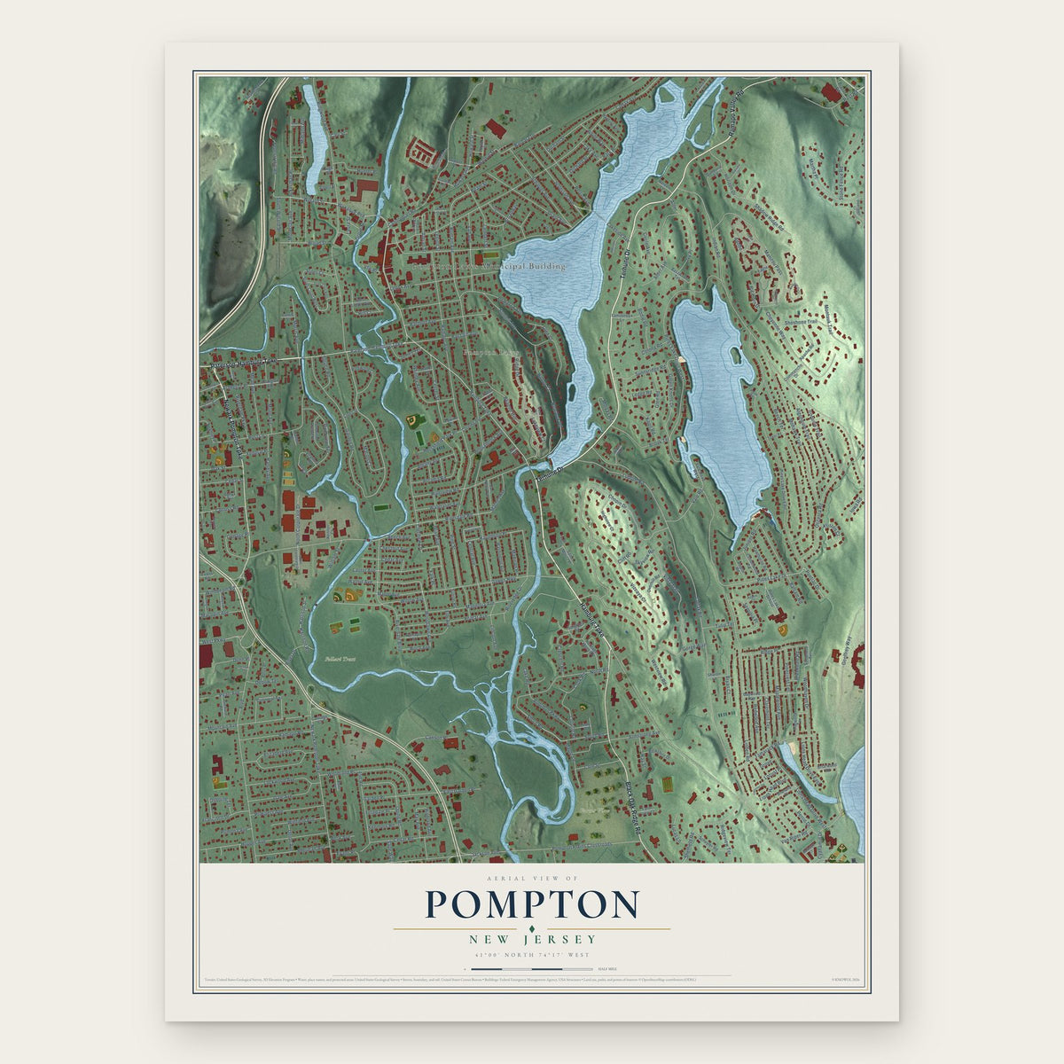
A new map of Pompton, New Jersey, made in 2026 and printed to order on thick archival matte paper.
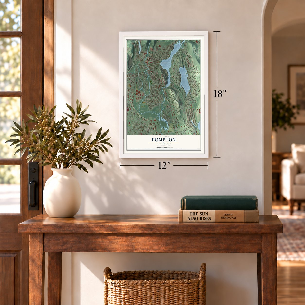
12" x 18" Archival Matte Print
A Map of Home. A Work of Art.
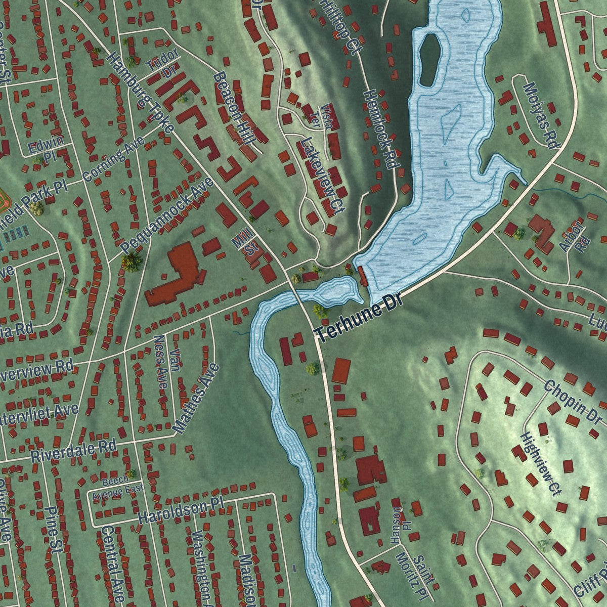
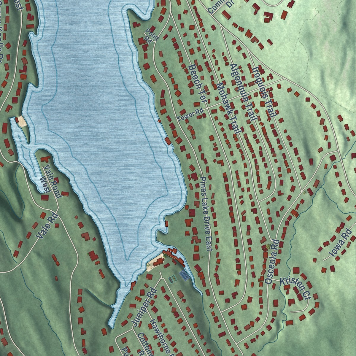
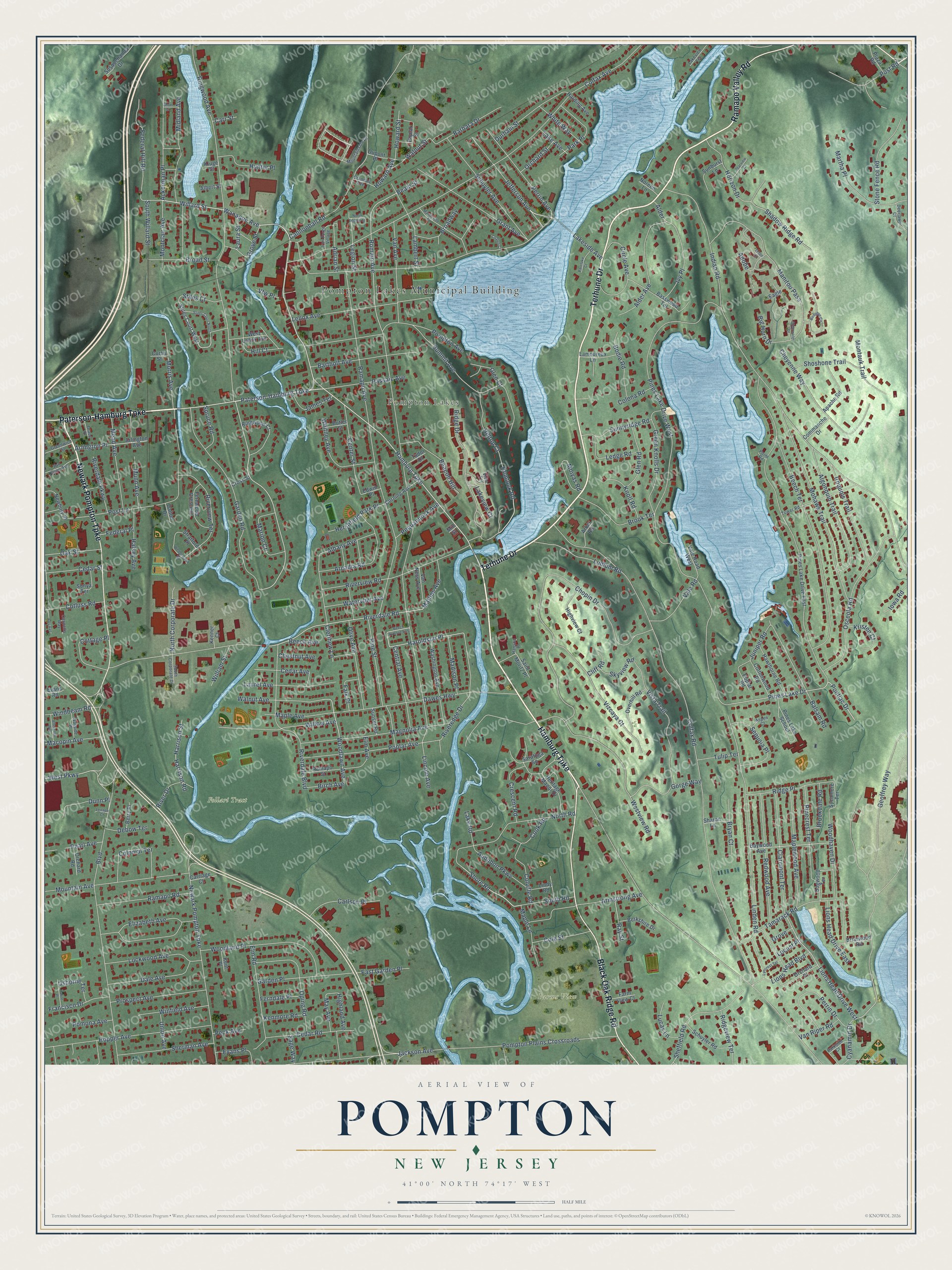
Explore Pompton, New Jersey from a whole new perspective. Created using aerial imagery and detailed geographic data, this map captures Pompton building by building, with labeled streets, familiar landmarks, and shaded topographical relief that highlights the natural contours of the landscape.
Combining modern data with the timeless character of a vintage atlas, this map is just as interesting up close as it is beautiful on the wall. Whether you grew up in Pompton, spent memorable years there, or call it home today, this unique map is a great way to celebrate a place that means something to you. Zoom in on the preview to look for your street, and then order a print to put your memories on the wall.
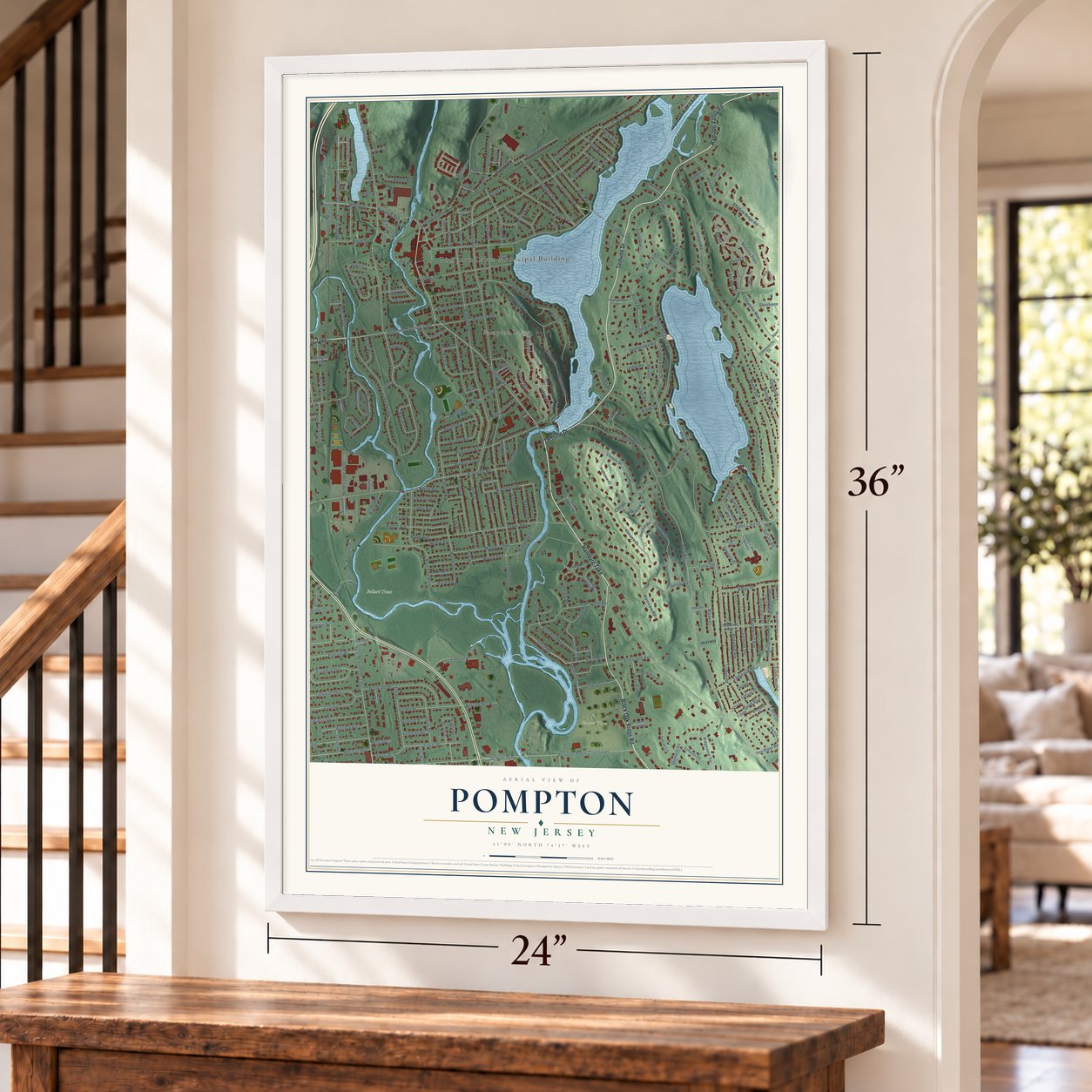
Three ways to hang it
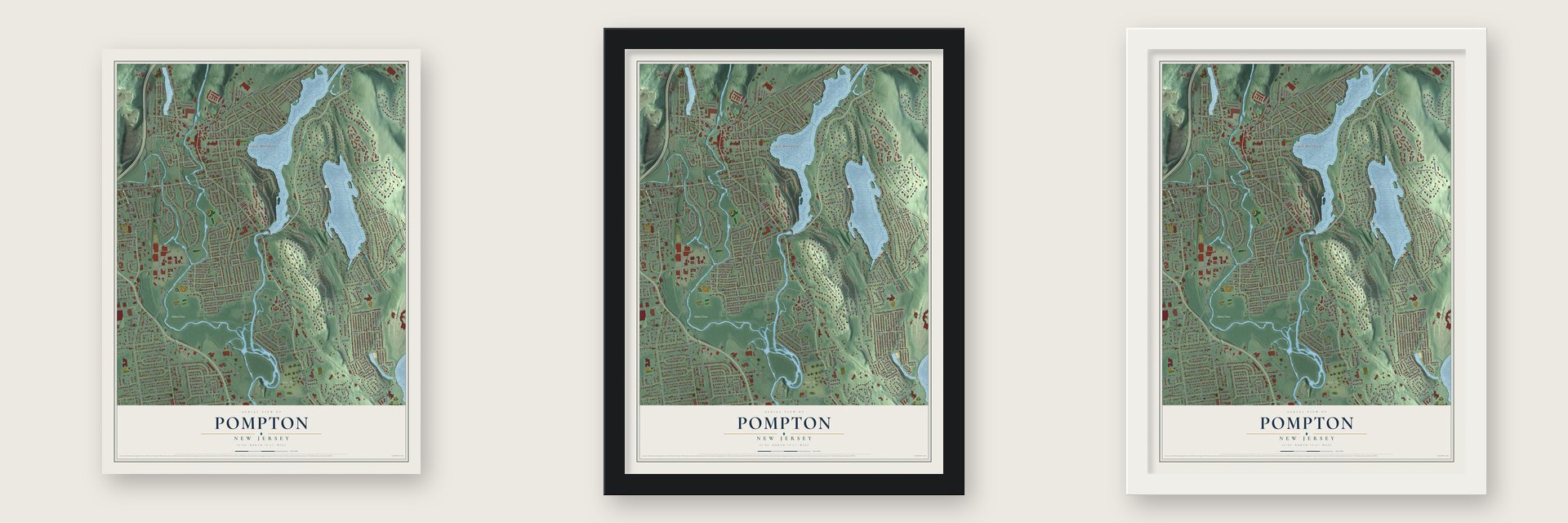
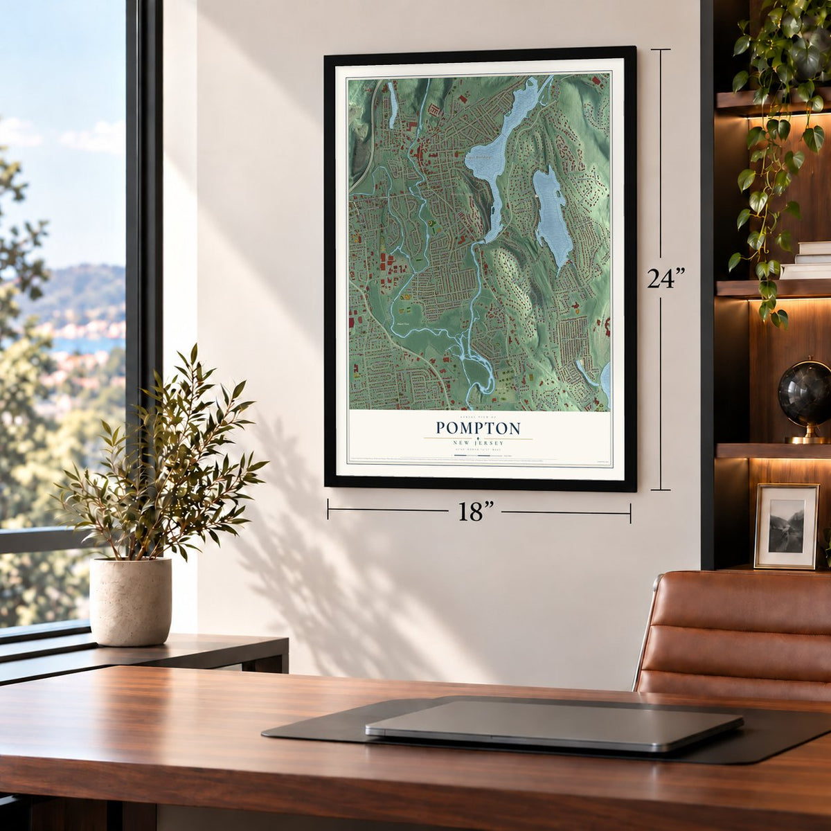
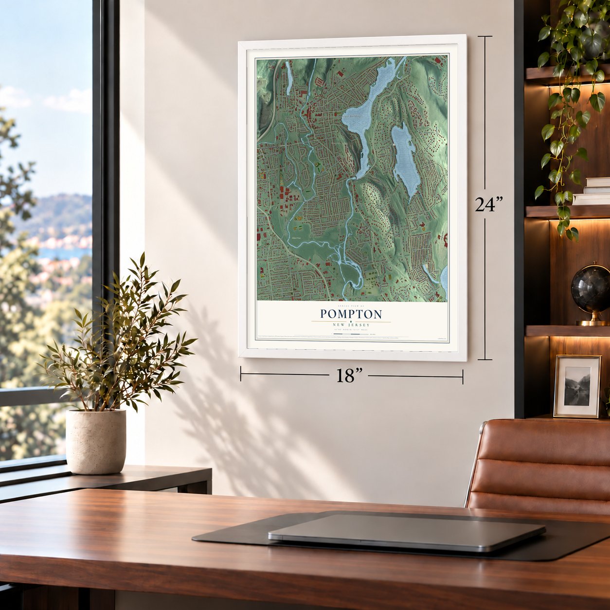
Unframed archival matte, a black wood frame or a white wood frame.
Up close
Geography Worth Displaying
This map was created using accurate cartographic data and authoritative geographic sources, including the U.S. Geological Survey and the Census Bureau. The map brings together terrain, waterways, roads, and building detail. The majority of the streets are labeled, houses are accurately depicted, and the topography is derived from government sources. Combining local data with carefully composed color and shading leads to this beautifully detailed Pompton artwork for your wall.
Rather than simply showing street outlines, we’ve included as many of the street names as we could reasonably fit on the map while keeping their names legible. Zoom in on the high resolution preview to see exactly what’s on the map. We truly set out to create a statement piece for anyone who loves Pompton. So whether it’s for you, or a gift for someone you love, we hope this map of Pompton brings back fond memories.
Read the story behind this map: Detailed Map of Pompton, New Jersey.
Find your street
Names on the Pompton map
Every name below is printed on this map. Look for your street, your school, the park where you played, or the pond down the road.
Places and landmarks4
- Pompton Lakes Municipal Building
- Pompton Lakes
- Farms View
- Follari Tract
Streets and roads328
- Hamburg Turnpike
- Terhune Drive
- Black Oak Ridge Road
- Newark Pompton Turnpike
- Ramapo Valley Road
- Paterson-Hamburg Turnpike
- Wanaque Avenue
- Willard Street
- Jefferson Avenue
- Shore Road
- Hemlock Road
- Ringwood Avenue
- Riverdale Road
- Lions Head Drive West
- Pines Lake Drive
- Woodlawn Avenue
- Haroldson Place
- Pontiac Drive
- Romain Avenue
- Van Riper Road
- Lincoln Avenue
- Colfax Road
- Pines Lake Drive West
- Indian Road
- Colfax Avenue
- Lakeside Avenue
- Ramapo Avenue
- Chopin Drive
- Geoffrey Way
- Boulevard
Show all 328 streets
- Westview Road
- Linden Road
- Cannonball Road
- Mountain Avenue
- Garden Road
- Beech Terrace
- Mohawk Trail
- Midland Avenue
- Dawes Highway
- Manitou Pass
- Summit Avenue
- Post Lane
- Pompton Plains Crossroads
- Pompton Avenue
- Hopper Avenue
- Osceola Road
- Jackson Avenue
- Riverdale Boulevard
- Riverview Road
- Magnolia Avenue
- North Road
- Cheyenne Way
- Vizcaya Court
- Lenox Avenue
- Poplar Avenue
- Woodland Place
- Algonquin Trail
- Vista Trail
- Ridge Drive
- Pine Street
- Grant Avenue
- Redwood Avenue
- Albany Avenue
- Schuyler Avenue
- Stone Fence Road
- Woodhaven Drive
- Riveredge Drive
- Federal Hill Road
- Claremont Terrace
- Armstrong Avenue
- Alder Avenue
- Balsam Road
- Maplewood Avenue
- Tamarack Road
- Willow Avenue
- Circle Avenue
- Riverview Terrace
- Sheffield Road
- Oping Road
- Broadway
- Perrin Avenue
- Arcadia Road
- Horizon Drive
- Iroquois Trail
- Bartholf Avenue
- Cedar Road
- Perrin Drive
- Ackerman Place
- Post Road
- Martha Place
- Van Avenue
- Pinecrest Terrace
- Elizabeth Avenue
- Lockwood Avenue
- Green Knolls Drive
- Sherman Avenue
- Garden Place
- Prospect Avenue
- Walnut Avenue
- Mead Avenue
- Ramapo Road
- Ludlum Road
- Elm Road
- Center Street
- Laurel Avenue
- Sunnyridge Road
- Ivy Place
- Dale Avenue
- Colonial Terrace
- Olive Avenue
- Ridge Place
- Whitney Avenue
- Brook Terrace
- Sequoia Place
- Audubon Parkway
- Durham Street
- Central Avenue
- Passaic Avenue
- Gorge Way
- Beech Avenue
- Barbara Drive
- Cedar Street
- Hilltop Court
- Shadow Ridge Road
- Moiyas Road
- Morris Avenue
- Cottage Place
- Carlson Place
- Park Place
- Arlington Place
- Harrison Road
- Harrison Street
- Marion Court
- Lions Head Boulevard
- Winfield Avenue
- Broad Street
- Bodie Road
- Stiles Court
- Shoshone Trail
- Lions Head Drive East
- Glen Road
- North Corporate Drive
- Montclair Avenue
- Walnut Street
- Vale Road
- Montauk Trail
- Howard Street
- Colville Road
- Hershfield Park Place
- Ledge Road
- Maple Avenue
- West Parkway
- Maple Lane
- Hunter Place
- Francisco Drive
- Halsey Avenue
- Juniper Road
- Cotluss Road
- Cole Street
- Watervliet Avenue
- Madison Place
- South Willard Street
- White Way
- Riverdale Parkway
- Glen Court
- Dunn Place
- Macopin Avenue
- Oak Street
- Brookdale Road
- Ridgeview Terrace
- Bryan Court
- Cedar Avenue
- Pequannock Avenue
- South Road
- Knoll Road
- Kristen Court
- East Garden Place
- James Terrace
- Cyanamid Drive
- Mathes Avenue
- Legion Street
- Munn Avenue
- Big Horn Drive
- River Drive
- Lucas Lane
- May Avenue
- Evans Place
- Spruce Road
- Cook Road
- Windbeam Road
- Adrian Street
- Skyview Road
- Orchard Street
- Osborne Terrace
- William Street
- Falk Place
- Lakeview Court
- Debow Terrace
- Ferndale Place
- Kenmore Road
- Ray Street
- Tulip Terrace
- Pomona Avenue
- Crescent Road
- Beacon Hill
- Birch Avenue
- Colona Road
- Howard Avenue
- Highland Avenue
- Pearl Avenue
- Clerihew Lane
- Chestnut Avenue
- Union Avenue
- Lake Avenue
- Federal Place
- Iowa Road
- Laura Street
- Lake Road
- Grove Street
- Peck Avenue
- Hill Court
- Cliff Road
- Lambert Street
- Vfw Place
- Sage Way
- Grove
- Locust Place
- Alder
- Elm Avenue
- Carr Street
- Beam Street
- Adobe
- Stiles Court West
- Pines Lake Drive East
- Pines Lake School
- Washington Avenue
- Heritage Manor Drive
- Baywood Avenue
- Arlington Avenue
- Newbury Place
- Ringwood Court
- Ramapo Street
- Basswood Terrace
- Apache Road
- Fernwood Crescent
- Hawthorne Road
- Schuyler Road
- Overhill Road
- Highview Court
- Orchard Place
- Saint Moritz Place
- Dogwood Terrace
- Cottonwood Road
- Corning Avenue
- Van Ness Avenue
- Susquehanna Drive
- Lamoureux Lane
- Sunburst Lane
- Berkshire Drive
- Dupont Place
- West Lenox Avenue
- Briarwood Road
- Sycamore Terrace
- Vale Road West
- Sonya Terrace
- Commanche Drive
- Harding Avenue
- Plaza Road
- Orchard Road
- Poplar Street
- Kluge Street
- Berry Place
- Farm View Court
- Sunset Road
- Carriage Court
- Arbor Road
- Sharon Lane
- Eagle
- Noreen Lane
- Lindy Road
- Saratoga Square
- Kent Place
- Kenner Court
- Butler Street
- Tudor Drive
- Stratford Place
- Albert Street
- Cross Street
- Dalton Drive
- Poplar Road
- Evans Road
- Edwin Place
- Curtis Street
- Mill Street
- Mountainside Drive
- Tower Road
- Parkside Court
- Van Duyne Avenue
- Deerlawn Court
- Iron Forge Village
- South Corporate Drive
- Greenwich Street
- Wayside Place
- Lakeview Terrace
- Cannella Way
- Vista Terrace
- Drace Place
- Aspen Court
- Crandall Avenue
- Hanson Place
- Point Road
- Loy Avenue
- Mandeville Street
- Birdseye Circle
- Wedgewood Road
- Stiles Court North
- Lyncrest Terrace
- Patire Place
- Afterglow Way
- Parclake Court
- Beech Avenue East
- Starview Court
- Clearwater Drive
- North Legion Street
- Chalen Court
- Short Street
- Lenape Court
- Teton Circle
Names are listed as they appear on the printed map. Zoom into the product photos to find them.
The art of mapping a place
How This Map Was Made
Real places. Remarkable detail. Discover the layers that turn geographic data into a map of home.

The view from above
Aerial imagery reveals the character of the land: woodland, open fields, and the patterns of a place.

The shape of the land
Elevation data brings hills, valleys, and subtle changes in the landscape into view.

The details of home
Roads, waterways, and building footprints come together to make the map feel unmistakably local.

Geography becomes art
Considered color, shading, and typography bring the layers together in a map made for your wall.


Process illustrated with Mendon, Massachusetts. Aerial imagery: USDA NAIP. Terrain: USGS 3D Elevation Program. Map details and finished artwork: KNOWOL.
The Details
About This Print
Choose an archival matte print, or a black or white Ayous wood frame. The archival matte print is unframed.
Select your size and finish above to see the matching product image and price.
Materials & Craftsmanship
A contemporary map with the character of a classic atlas, printed on archival matte paper. Optional frames are made from Ayous wood.
Your printed map does not include the watermark shown in the full-map preview.
Shipping & Delivery
Free shipping within the United States. Every print is made to order in the USA.
Buying a gift? Add a note in your cart and we'll include it. We never put prices in the package.
Prints ship within 2 to 3 business days. Allow 7 to 10 days total from ordering for delivery. Timing may vary during holidays or periods of high order volume.
Read our shipping policy.
Returns and damaged prints
Each print is made to order. Change-of-mind refunds are not available after production.
If your print arrives damaged, misprinted or incorrect, contact support@knowol.com within 30 days of receiving it. Include your order number, photos and a description of the issue.
Read our full refund and replacement policy. For questions about your order, email support@knowol.com.
Find your town
Looking for another city?
Find a map of home in our New Jersey collection, or any town in the country.
Nearby
Maps of towns near Pompton
Know someone from one of these towns? Their map makes a great gift.
 Pompton Lakes
, New Jersey
From $39.99See the map
 Pines Lake
, New Jersey
From $39.99See the map
 Riverdale
, New Jersey
From $39.99See the map
More maps nearby: Pompton Plains, Pequannock, Oakland, Butler and Wanaque.