
Search for another town



Free U.S. delivery 7 to 10 days after you order
Port Charlotte, Florida Map Art
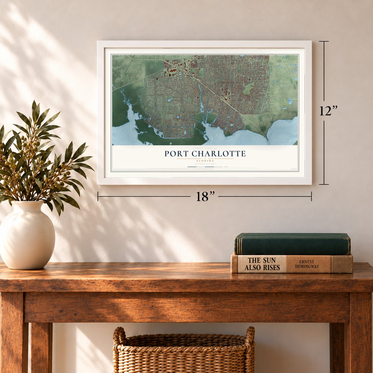
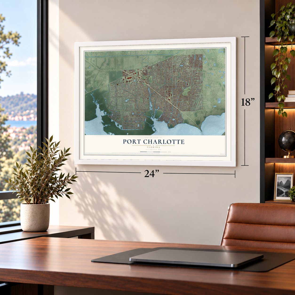
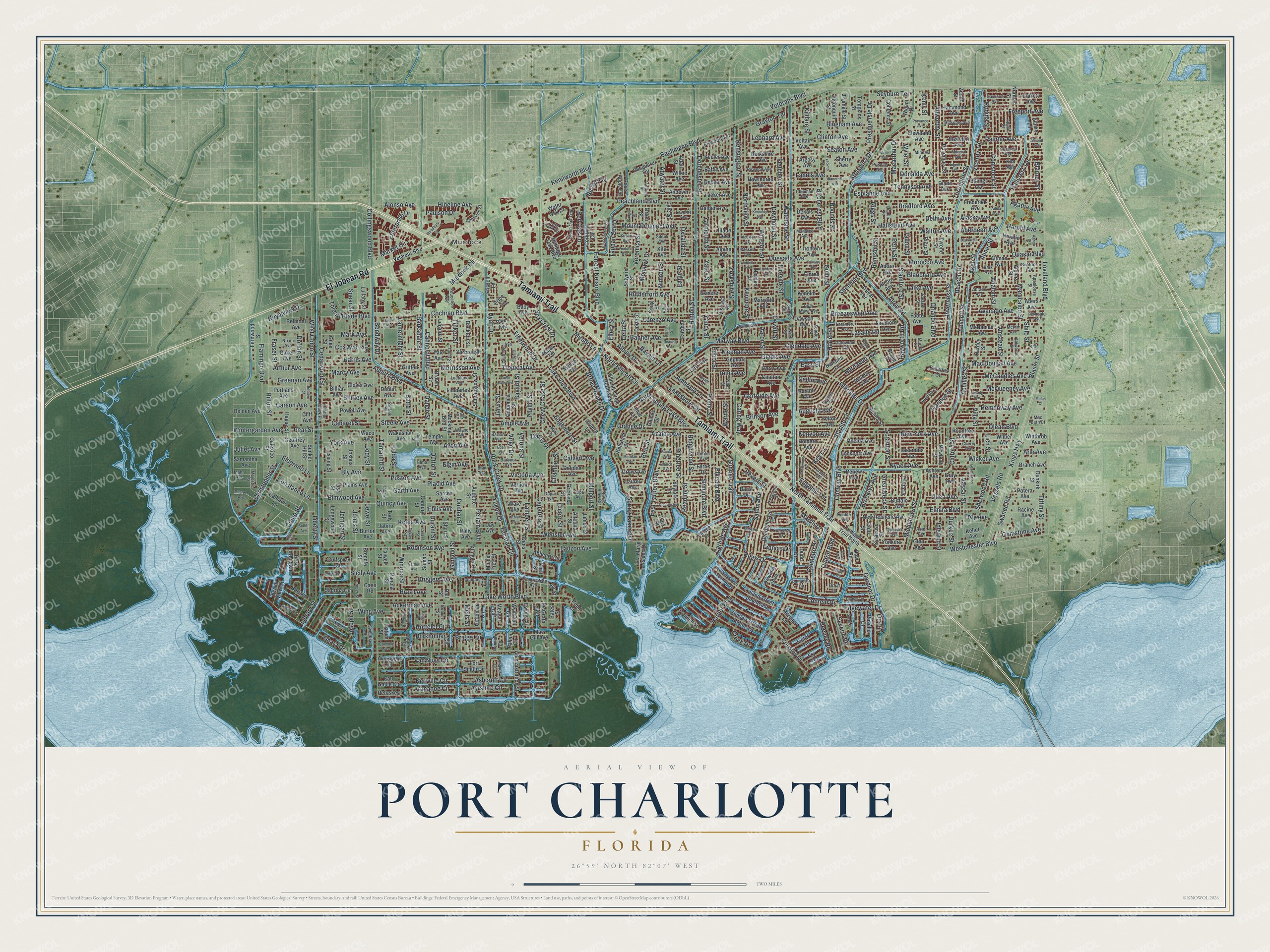
A new map of Port Charlotte, Florida, made in 2026 and printed to order on thick archival matte paper.
12" x 18" Archival Matte Print
A Map of Home. A Work of Art.
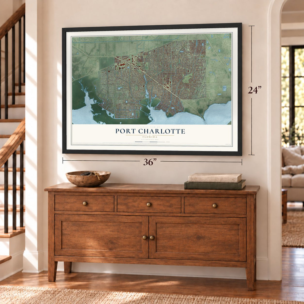
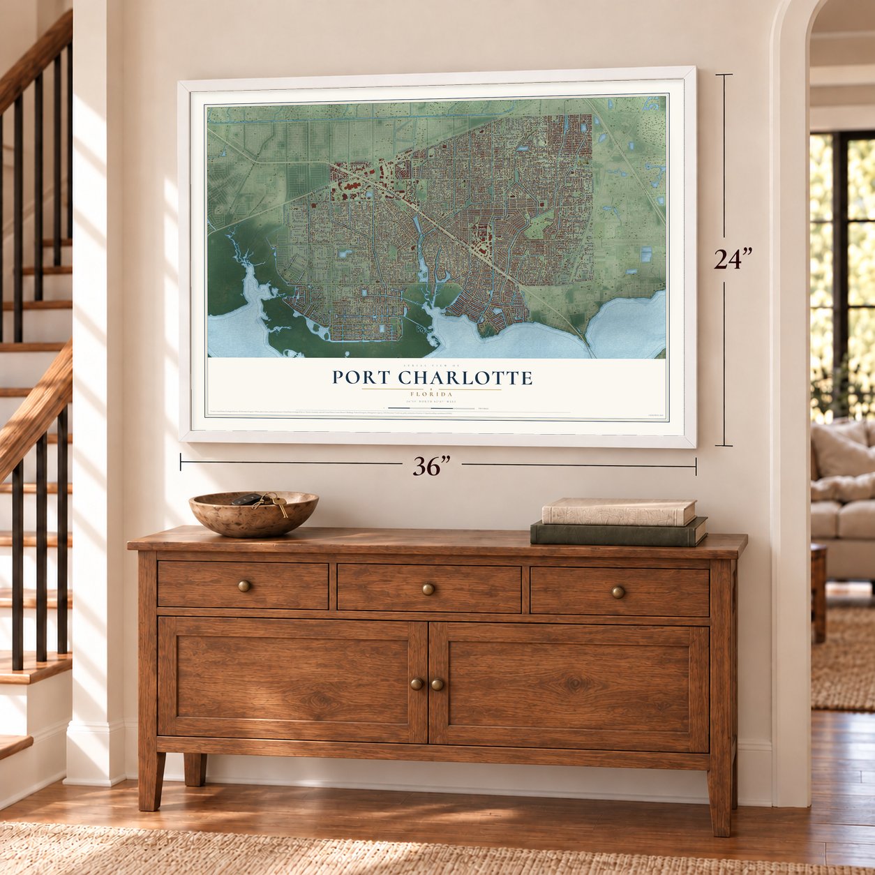
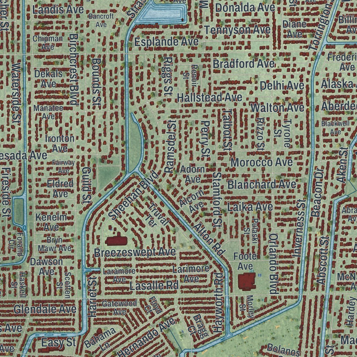
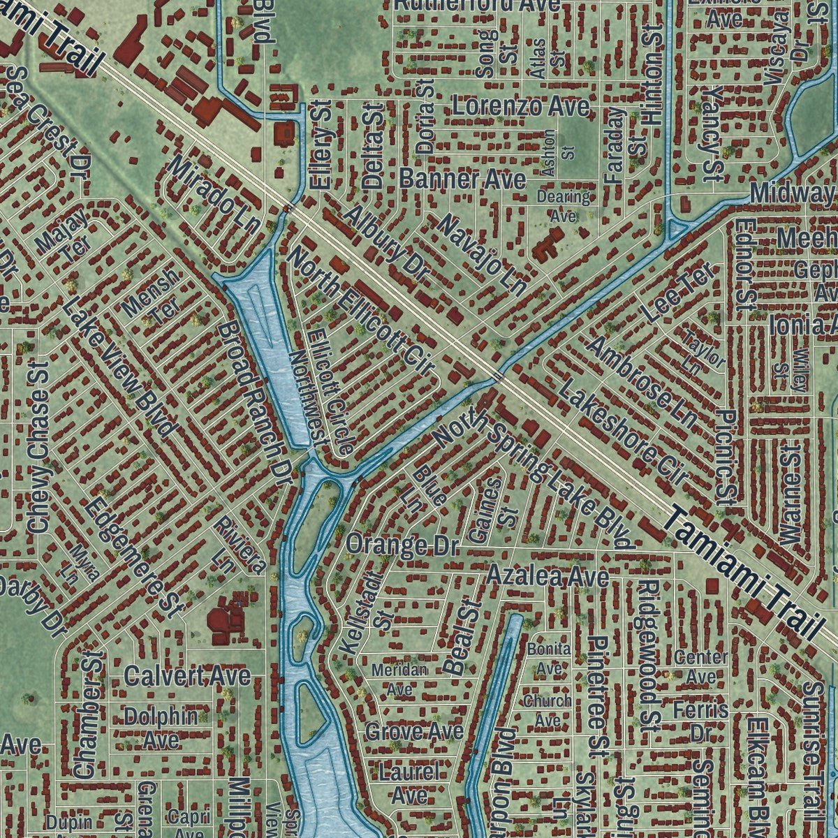
Explore Port Charlotte, Florida from a whole new perspective. Created using aerial imagery and detailed geographic data, this map captures Port Charlotte building by building, with labeled streets, familiar landmarks, and shaded topographical relief that highlights the natural contours of the landscape.
Combining modern data with the timeless character of a vintage atlas, this map is just as interesting up close as it is beautiful on the wall. Whether you grew up in Port Charlotte, spent memorable years there, or call it home today, this unique map is a great way to celebrate a place that means something to you. Zoom in on the preview to look for your street, and then order a print to put your memories on the wall.
Three ways to hang it
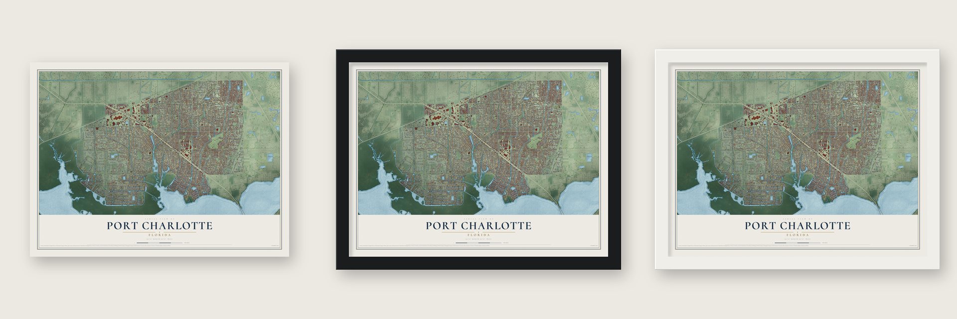
Unframed archival matte, a black wood frame or a white wood frame.
Up close
Geography Worth Displaying
This map was created using accurate cartographic data and authoritative geographic sources, including the U.S. Geological Survey (USGS) and FEMA. The map brings together terrain, waterways, roads, and building detail. The majority of the streets are labeled, houses are accurately depicted, and the topography is derived from government sources. Combining local data with carefully composed color and shading leads to this beautifully detailed Port Charlotte artwork for your wall.
Rather than simply showing street outlines, we’ve included as many of the street names as we could reasonably fit on the map while keeping their names legible. Zoom in on the high resolution preview to see exactly what’s on the map. We truly set out to create a statement piece for anyone who loves Port Charlotte. So whether it’s for you, or a gift for someone you love, we hope this map of Port Charlotte brings back fond memories.
Explore the full map of Port Charlotte, Florida and read about the local places it shows.

About Port Charlotte, Florida
Port Charlotte is an unincorporated community of 60,625 people in Charlotte County, where the Charlotte Harbor Estuary reaches its northern end. The Calusa lived here first, but for a century after Florida became a state in 1845 the land held little more than cattle ranches and small farms, because the roads and rail lines heading into southwest Florida skirted it.
The land boom after World War II changed that. In the 1950s the Mackle brothers' General Development Corporation planned Port Charlotte and built its roads, water and sewer plants, golf courses and marinas on its own. The family firm dated to 1908, when Frank E. Mackle Sr. founded it in Jacksonville, and it became General Development in 1958 by merging with the Florida Canada Corporation. Port Charlotte grew into the largest community in the county, yet it never incorporated, so the Charlotte County commission governs it.
- Hurricane Charley in 2004On August 13, 2004, forecasters expected Hurricane Charley to strike Tampa as a Category 2 storm. Instead it swung right at the last minute, strengthened to Category 4 and came ashore near Charlotte Harbor. Its 145 mph winds destroyed almost half the homes in Charlotte County and badly damaged the area's wetlands.
- Through the eye of IanJust over 18 years after Charley, on September 28, 2022, Hurricane Ian made landfall as a Category 4 storm at Cayo Costa State Park and moved northeast into Charlotte Harbor, passing its eye over southeastern Port Charlotte. A private weather station here recorded sustained winds of 115 miles per hour and a gust of 132. Most of the damage came from the wind.
- Spring training since 1987Charlotte Sports Park opened in 1987 as a spring training ballpark. The Texas Rangers trained there first, and in 1993 Nolan Ryan told the press he was retiring, speaking from the clubhouse there. The Tampa Bay Rays later made it their spring home.
- Kathy Whitworth's 1969 winThe LPGA Tour came to the Port Charlotte Golf and Country Club in 1969 for the Port Charlotte Invitational, and Kathy Whitworth won the tournament.
Find your street
Names on the Port Charlotte map
Every name below is printed on this map. Look for your street, your school, the park where you played, or the pond down the road.
Places and landmarks1
- Murdock
Streets and roads655
- Tamiami Trail
- El Jobean Road
- Kings Highway
- Pear Street
- North Tamiami Trail
- Veterans Boulevard
- North Spring Lake Boulevard
- Clifford Street
- Cochran Boulevard
- Westchester Boulevard
- Achilles Street
- North Ellicott Circle
- Midway Boulevard
- Edgewater Drive
- Harbor Boulevard
- Peachland Boulevard
- Collingswood Boulevard
- Loveland Boulevard
- Beacon Drive
- Flamingo Boulevard
- Ohara Drive
- Conway Boulevard
- Quesada Avenue
- Olean Boulevard
- Rock Creek Drive
- Como Street
- West Como Street
- Birchcrest Boulevard
- Lake Worth Boulevard
- Lake View Boulevard
Show all 655 streets
- Orlando Boulevard
- Wintergarden Avenue
- Easy Street
- Bachmann Boulevard
- Pellam Boulevard
- Elmira Boulevard
- Strasburg Drive
- Alton Road
- Ackerman Avenue
- Dorchester Street
- Kensington Street
- Yorkshire Street
- Hinton Street
- Robinson Avenue
- Presque Isle Drive
- Elkcam Boulevard
- Waterside Street
- Abscott Street
- Cabaret Street
- Auburn Boulevard
- Poston Avenue
- Spring Lake Boulevard
- Sheehan Boulevard
- Cedarwood Street
- Kenilworth Boulevard
- Brooklyn Avenue
- Murdock Circle
- Vessels Road
- Quasar Boulevard
- Starlite Lane
- Forrest Nelson Boulevard
- Inverness Street
- Aaron Street
- Fletcher Street
- East Tarpon Boulevard
- Cannolot Boulevard
- Maracaibo Street
- Yukon Drive
- Hernando Avenue
- Broad Ranch Drive
- Pinetree Street
- Lakeshore Circle
- Swanee Road
- Tappan Zee Drive
- Macarthur Drive
- Seyburn Terrace
- Hayworth Road
- Placid Avenue
- Torrington Street
- Durant Street
- Bly Avenue
- Albury Drive
- Allworthy Street
- Gladis Avenue
- Meehan Avenue
- Glendale Avenue
- Guild Street
- Chevy Chase Street
- Hilton Street
- Higgs Drive
- Joseph Street
- Ayrshire Circle
- Abalom Street
- Gardner Drive
- Van Nuys Circle
- Tamarind Street
- Red Oak Lane
- Arapahoe Circle
- Kerrville Circle
- Edgemere Street
- Bounds Street
- Chamber Street
- Sunrise Trail
- Northview Street
- Quincy Avenue
- Hallstead Avenue
- Dewhurst Street
- Augusta Avenue
- Bendway Drive
- Palmetto Drive
- Ednor Street
- York Avenue
- New York Avenue
- Tennyson Avenue
- Gibralter Drive
- Walton Avenue
- Orange Drive
- Eagle Street
- Yucatan Circle
- Salem Avenue
- Shirley Avenue
- Cousley Drive
- Koala Avenue
- Lorenzo Avenue
- Ashcroft Circle
- Market Circle
- Tropical Avenue
- Hallcrest Terrace
- Esplande Avenue
- Reading Street
- Idlewild Street
- Mount Prospect Avenue
- Hemenway Avenue
- Stamford Street
- Millport Street
- Library Street
- Blanchard Avenue
- Winona Street
- Seaton Avenue
- Dewitt Street
- Hottelet Circle
- Avacado Avenue
- Bingham Avenue
- Clinton Avenue
- Enterprise Drive
- Bradford Avenue
- Middletown Street
- Fleetwood Drive
- Veronica Street
- Mac Dougall Avenue
- Comstock Street
- Verona Street
- Picnic Street
- Francis Drive
- Webster Avenue
- Yarmouth Street
- Villa Street
- Vassar Street
- Morocco Avenue
- Azalea Avenue
- Christopher Street
- Troy Avenue
- Blaser Street
- McCandles Avenue
- Aberdeen Avenue
- Bayard Street
- Laika Avenue
- Lasalle Road
- Ambrose Lane
- Cicero Street
- Driggers Avenue
- Nyack Avenue
- Gertrude Avenue
- Tiffiny Street
- Great Neck Street
- Donalda Avenue
- Toledo Blade Boulevard
- Rutherford Avenue
- Barksdale Street
- Burkholder Circle
- Breezeswept Avenue
- Dorion Street
- McQueeney Avenue
- Lambert Street
- Capatola Street
- Aken Street
- Amstead Street
- Severin Road
- Eldorado Lane
- Conreid Drive
- Liberty Street
- Lauzon Avenue
- Viceroy Terrace
- Dunbar Street
- Phyllis Street
- Lyle Street
- Dalton Boulevard
- Landis Avenue
- Freeport Avenue
- Abner Street
- Utica Avenue
- Caring Way
- Briggs Circle
- Tinker Street
- Hineline Avenue
- Beeney Road
- Royalview Drive
- Kenmore Street
- Hariet Street
- Wicker Avenue
- Morrisson Avenue
- Paulson Drive
- Avon Avenue
- Delhi Avenue
- Martin Drive
- Mohawk Drive
- Elmwood Avenue
- Marcy Avenue
- Sicily Avenue
- Hyatt Drive
- Fraser Street
- Fireside Street
- Grayton Terrace
- Arthur Avenue
- Greenan Avenue
- Carson Avenue
- Brazil Avenue
- Atwater Street
- Ivanhoe Street
- Harris Avenue
- Mark Avenue
- Banner Avenue
- Victoria Avenue
- Spear Street
- Gingold Street
- Steele Avenue
- Sherwood Road
- Gemstone Avenue
- Warne Street
- Virgo Drive
- Dando Street
- Ample Avenue
- Constance Lane
- Baird Street
- Seminole Boulevard
- Jarvis Street
- Wing Avenue
- Robina Street
- Lanternlight Street
- Ridgewood Street
- Key Lane
- Agatha Avenue
- Brinson Avenue
- Alaska Avenue
- Painter Avenue
- Ramsdel Street
- Winston Street
- Sea Crest Drive
- Scranton Street
- Calvert Avenue
- Harold Avenue
- Garth Avenue
- Jernigan Street
- Carlisle Avenue
- Lee Terrace
- Ionia Avenue
- Felda Street
- Edgehill Terrace
- Ricold Terrace
- Leonard Avenue
- Alonso Avenue
- Revere Street
- Shilo Street
- Kenyon Avenue
- Kildare Street
- Oxsalida Street
- Navajo Lane
- Dutton Street
- Ellery Street
- Talbot Street
- Jones Street
- Jewel Street
- Elgin Avenue
- Delta Street
- Jody Street
- Blarney Street
- Nimrod Street
- Cellini Avenue
- Juliet Avenue
- Mirado Lane
- Darby Drive
- Creek Drive
- Durkee Street
- Eblis Avenue
- Beal Street
- Kenly Street
- Yancy Street
- Ott Circle
- Riggs Street
- Lich Street
- Wyler Street
- Arlo Avenue
- Perry Street
- Yates Street
- Cox Avenue
- Melis Street
- Tamiami Trail North
- Ellicott Circle Northwest
- Viscaya Drive
- Kellstadt Street
- Depew Avenue
- Rosemary Street
- Skylark Lane
- Beverly Avenue
- Corktree Circle
- Lenoir Street
- Felton Avenue
- Madelyn Avenue
- Voltair Avenue
- Alcorn Avenue
- Adorn Avenue
- Klingler Circle
- Goodman Circle
- Riviera Lane
- Glen Avenue
- Altoona Street
- Rose Apple Circle
- Larimore Avenue
- McGrath Circle
- Vanguard Terrace
- Altman Avenue
- Grenada Street
- Rountree Avenue
- Dunkirk Street
- Bunker Hill Street
- Newbury Street
- Gulfspray Circle
- Sabrina Circle
- Fernwood Street
- Triangle Street
- Salyers Street
- Coblentz Street
- Heritage Oak Boulevard
- Newton Street
- Barre Drive
- Norman Street
- Waco Avenue
- Avonsdale Circle
- New Rochelle Avenue
- Billiar Avenue
- Buffalo Avenue
- Meager Circle
- Ewing Circle
- Wynkoop Circle
- Eau Gallie Circle
- Petoskey Circle
- Brendle Street
- Audette Street
- Fort Smith Circle
- Water Oak Drive
- Rose Arbor Circle
- Abhenry Circle
- Wylam Drive
- Ferris Drive
- Andover Avenue
- Hawthorne Avenue
- Berkshire Avenue
- Temple Avenue
- Sumac Street
- Holly Avenue
- Doria Street
- Deerfield Avenue
- Columbia Street
- Sinclair Street Southeast
- Administration Street
- Sunninglow Street
- Gray Avenue
- Song Street
- Patera Avenue
- Leland Street Southeast
- Hammond Avenue
- Mocking Bird Street
- Kim Avenue
- Truval Terrace
- Foote Avenue
- Mac Gill Avenue
- Dunn Drive
- Fallon Circle
- Dowling Avenue
- Billings Avenue
- Limberlos Avenue
- Price Circle
- Lockport Avenue
- Calhoun Lane
- Holdern Avenue
- Firwood Terrace
- Mensh Terrace
- Cleveland Avenue
- Baoy Avenue
- Century Street
- Branch Avenue
- Sistina Street
- Belmont Avenue
- Iliade Avenue
- Tucker Avenue
- Delake Avenue
- Baffin Avenue
- Keeler Avenue
- Alpine Avenue
- Halden Avenue
- Horizon Lane
- Gephart Avenue
- Syracuse Street
- Ledgewood Street
- Tompkins Street
- Oneida Avenue
- Frizzell Lane
- Lessing Street
- Joshua Street
- Algonquin Street
- Michel Tree Street
- Leisure Street
- Samantha Avenue
- Belden Avenue
- Colleen Street
- Racine Avenue
- Backton Street
- Powell Avenue
- Wilkie Avenue
- Wakashan Avenue
- Calexico Street
- Lea Marie Island Drive
- Lullaby Street
- Fields Terrace
- Faraday Street
- Percy Avenue
- Roselle Court
- Sarcee Avenue
- Dawson Avenue
- Ashton Avenue
- Coulton Avenue
- Clover Avenue
- Vernon Avenue
- Buxton Avenue
- Plains Avenue
- Grove Avenue
- Frederick Avenue
- Albert Lane
- Yarbrough Avenue
- Abers Avenue
- McNamee Avenue
- Exmore Avenue
- Bahama Lane
- Yonkers Avenue
- Hague Street
- Geoffrey Avenue
- Dolphin Avenue
- Dow Road
- Garrett Avenue
- Lacombe Avenue
- Portland Avenue
- Baker Avenue
- Rizzo Street
- Tyrone Street
- Beach View Court
- Algiers Street
- Wilber Avenue
- Avens Street
- Argosy Avenue
- Kenelm Avenue
- Dekals Avenue
- Eldred Avenue
- Winthrob Avenue
- Ironton Avenue
- Zenith Street
- Jay Avenue
- Pates Street
- Sherry Avenue
- Majay Terrace
- Terita Drive
- Gaines Street
- Blue Lane
- Bolanos Court
- Yale Avenue
- Marigold Avenue
- Diane Avenue
- Ware Avenue
- Dublin Avenue
- Brown Street
- Faith Street
- Hardey Street
- Burton Avenue
- Morgan Lane
- Adair Street
- Fry Terrace
- Griffen Avenue
- Laurel Avenue
- Jabiru Avenue
- Short Street
- Kellet Avenue
- Horatio Avenue
- Lisa Street
- Tody Street
- Talwell Street
- Panola Street
- Giles Street
- Hall Street
- Orton Street
- Park Street
- Pike Avenue
- Bur Street
- Tatum Street
- Xita Avenue
- Bragg Court
- Point Court
- Cage Road
- Cliff Avenue
- Corn Street
- Pebble Creek Place
- Burkhart Drive
- Belinda Avenue
- Laramore Avenue
- Nixon Avenue
- Concord Drive
- Green Oak Trail
- Alphonse Circle
- Juniper Street
- Manatee Avenue
- Countryman Avenue
- Abrade Avenue
- Bassett Avenue
- Priscilla Avenue
- Easton Drive
- Ferndale Avenue
- Chaves Circle
- Bracken Circle
- Chelsea Court
- Andrews Avenue
- Palmetto Circle
- Center Avenue
- Ogden Street
- Lucky Street
- Herman Circle
- Lasayette Drive
- Live Oak Circle
- Spring View Circle
- Vannell Street
- Pulaski Street
- Taylor Lane
- Croton Terrace
- Majestic Street
- Locklane Avenue
- Birwood Avenue
- Education Way
- Gatewood Avenue
- Barbour Avenue
- Leland Street Southwest
- Hillsdale Avenue
- Dupin Avenue
- Susan Avenue
- Taunt Street
- Garrison Avenue
- Forand Circle
- Skipper Lane
- Appaloosa Street
- Prineville Street
- Mineral Avenue
- Bryn Mawr Avenue
- Chipman Avenue
- Cherry Avenue
- Aquilos Court
- Concert Street
- Aster Avenue
- Queens Avenue
- Laverne Avenue
- Superior Avenue
- Appian Street
- Sweetbay Street
- Wayne Avenue
- Aldworth Street
- Floral Lane
- McKim Avenue
- Barton Avenue
- Minerva Avenue
- Renoir Street
- Tabard Street
- Atlas Street
- Beatrice Avenue
- Myra Lane
- Scotten Street
- Suffolk Street
- Wiley Street
- Elmo Avenue
- Mac Beth Court
- Kimble Avenue
- Mahn Avenue
- Haskell Street
- Silent Avenue
- Morley Street
- Floyd Court
- Capri Avenue
- Bark Avenue
- Blair Avenue
- Car Street
- Maureen Avenue
- Wolbrette Circle
- Pheasant Circle
- Sharon Circle
- Wardell Avenue
- Bancroft Avenue
- Garvin Avenue
- Crestwood Drive
- Adela Avenue
- Great Falls Avenue
- Leamington Street
- East Corktree Circle
- Knox Terrace
- Woodbury Drive
- Small Street
- Meridan Avenue
- Lindley Terrace
- Century Avenue
- Hyacinth Street
- Stelling Avenue
- Redfern Street
- Marydale Road
- Dearing Avenue
- Fairway Avenue
- Bayard Terrace
- Boggs Street
- Nugent Avenue
- Hubbard Avenue
- Alderson Avenue
- Kennedy Avenue
- Ventura Avenue
- Eden Avenue
- Cessna Street
- Vardon Avenue
- Blackwell Avenue
- Provance Avenue
- Le Mars Avenue
- Sanger Street
- Agnew Street
- Ashton Street
- Marina Drive
- Gobron Street
- Connolly Avenue
- Dover Avenue
- Church Avenue
- Agra Street
- Omie Avenue
- Almond Avenue
- Sotliff Avenue
- Midas Court
- Bonita Avenue
Names are listed as they appear on the printed map. Zoom into the product photos to find them.
The art of mapping a place
How This Map Was Made
Real places. Remarkable detail. Discover the layers that turn geographic data into a map of home.

The view from above
Aerial imagery reveals the character of the land: woodland, open fields, and the patterns of a place.

The shape of the land
Elevation data brings hills, valleys, and subtle changes in the landscape into view.

The details of home
Roads, waterways, and building footprints come together to make the map feel unmistakably local.

Geography becomes art
Considered color, shading, and typography bring the layers together in a map made for your wall.


Process illustrated with Mendon, Massachusetts. Aerial imagery: USDA NAIP. Terrain: USGS 3D Elevation Program. Map details and finished artwork: KNOWOL.
The Details
About This Print
Choose an archival matte print, or a black or white Ayous wood frame. The archival matte print is unframed.
Select your size and finish above to see the matching product image and price.
Materials & Craftsmanship
A contemporary map with the character of a classic atlas, printed on archival matte paper. Optional frames are made from Ayous wood.
Your printed map does not include the watermark shown in the full-map preview.
Shipping & Delivery
Free shipping within the United States. Every print is made to order in the USA.
Buying a gift? Add a note in your cart and we'll include it. We never put prices in the package.
Prints ship within 2 to 3 business days. Allow 7 to 10 days total from ordering for delivery. Timing may vary during holidays or periods of high order volume.
Read our shipping policy.
Returns and damaged prints
Each print is made to order. Change-of-mind refunds are not available after production.
If your print arrives damaged, misprinted or incorrect, contact support@knowol.com within 30 days of receiving it. Include your order number, photos and a description of the issue.
Read our full refund and replacement policy. For questions about your order, email support@knowol.com.
Find your town
Looking for another city?
Find a map of home in our Florida collection, or any town in the country.
Nearby
Maps of towns near Port Charlotte
Know someone from one of these towns? Their map makes a great gift.
 Charlotte Harbor
, Florida
From $39.99See the map
 Solana
, Florida
From $39.99See the map
 Harbour Heights
, Florida
From $39.99See the map
More maps nearby: Punta Gorda, North Port, Charlotte Park, Cleveland and Warm Mineral Springs.