
Search for another town



Free U.S. delivery 7 to 10 days after you order
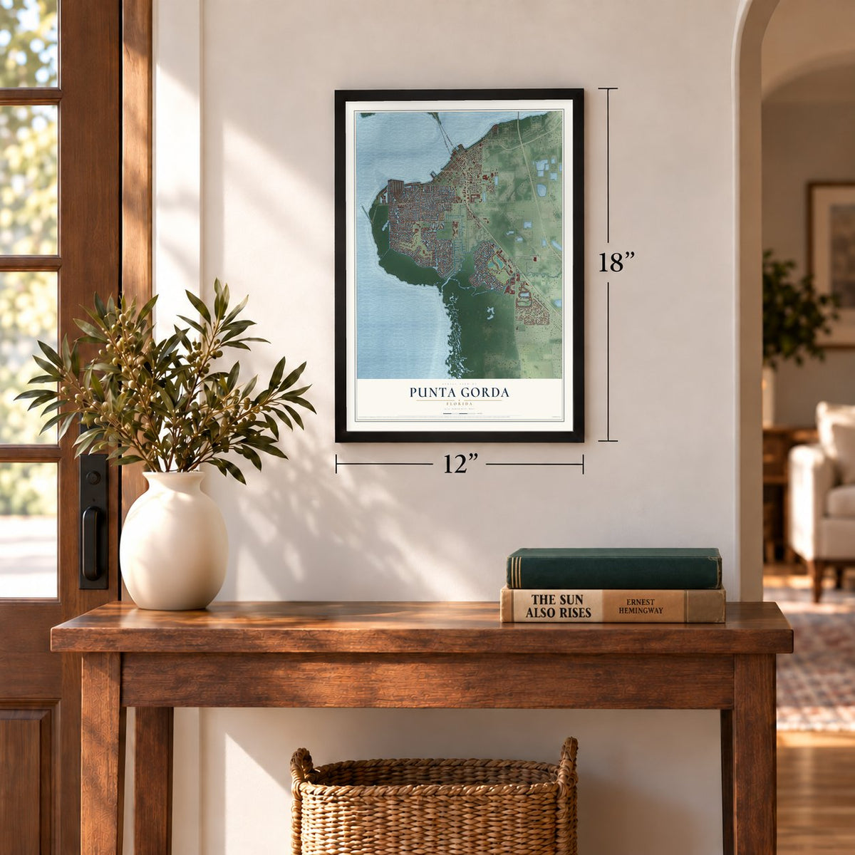
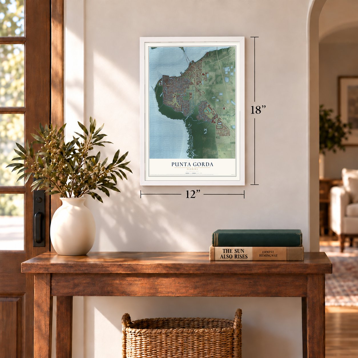
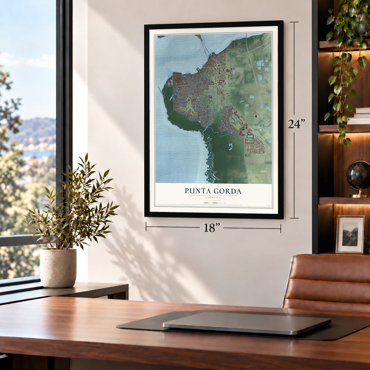
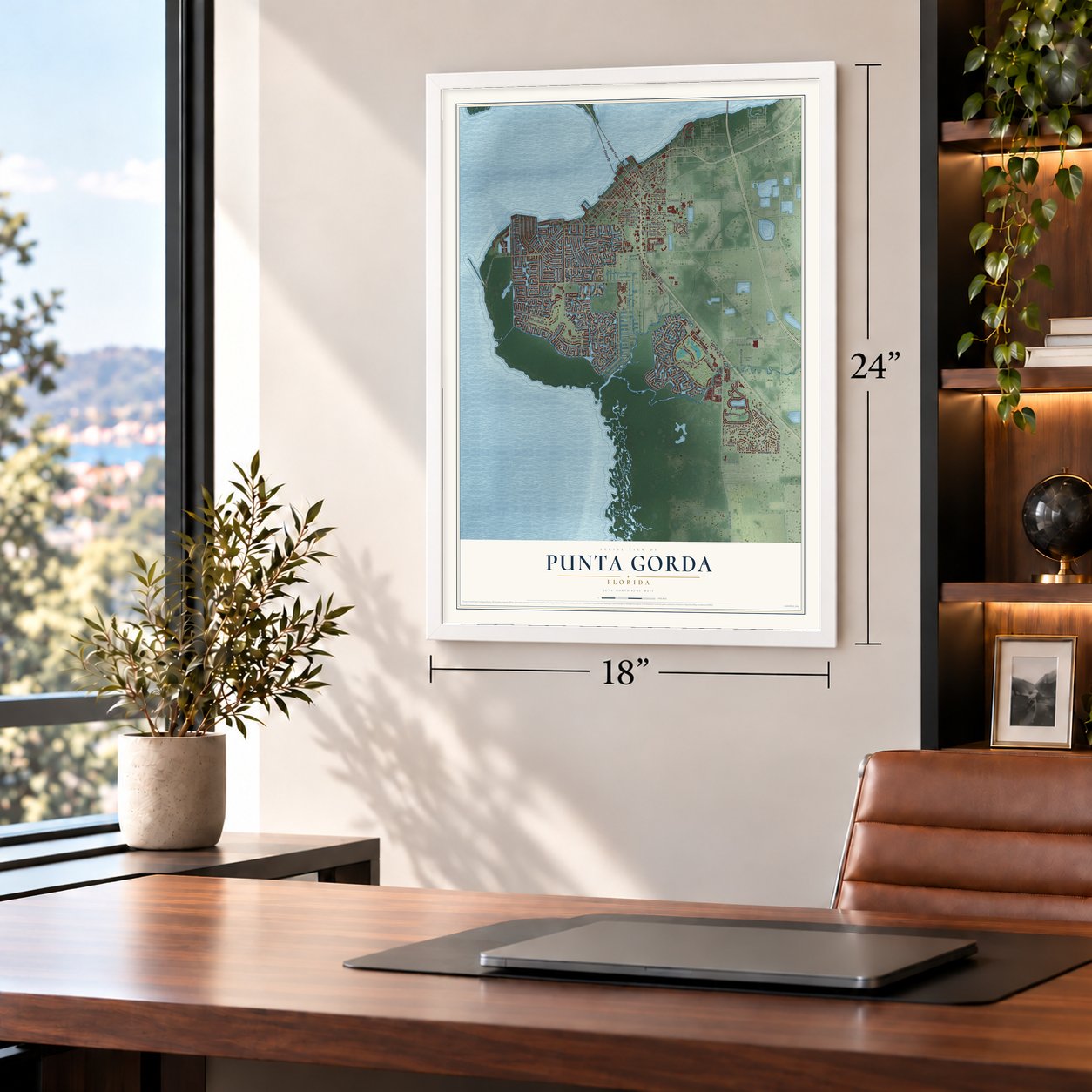
Punta Gorda, Florida Map Art
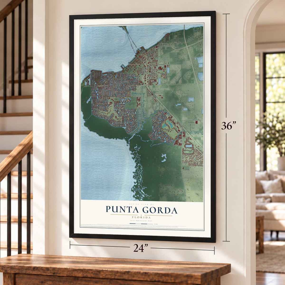
A new map of Punta Gorda, Florida, made in 2026 and printed to order on thick archival matte paper.
12" x 18" Archival Matte Print
A Map of Home. A Work of Art.
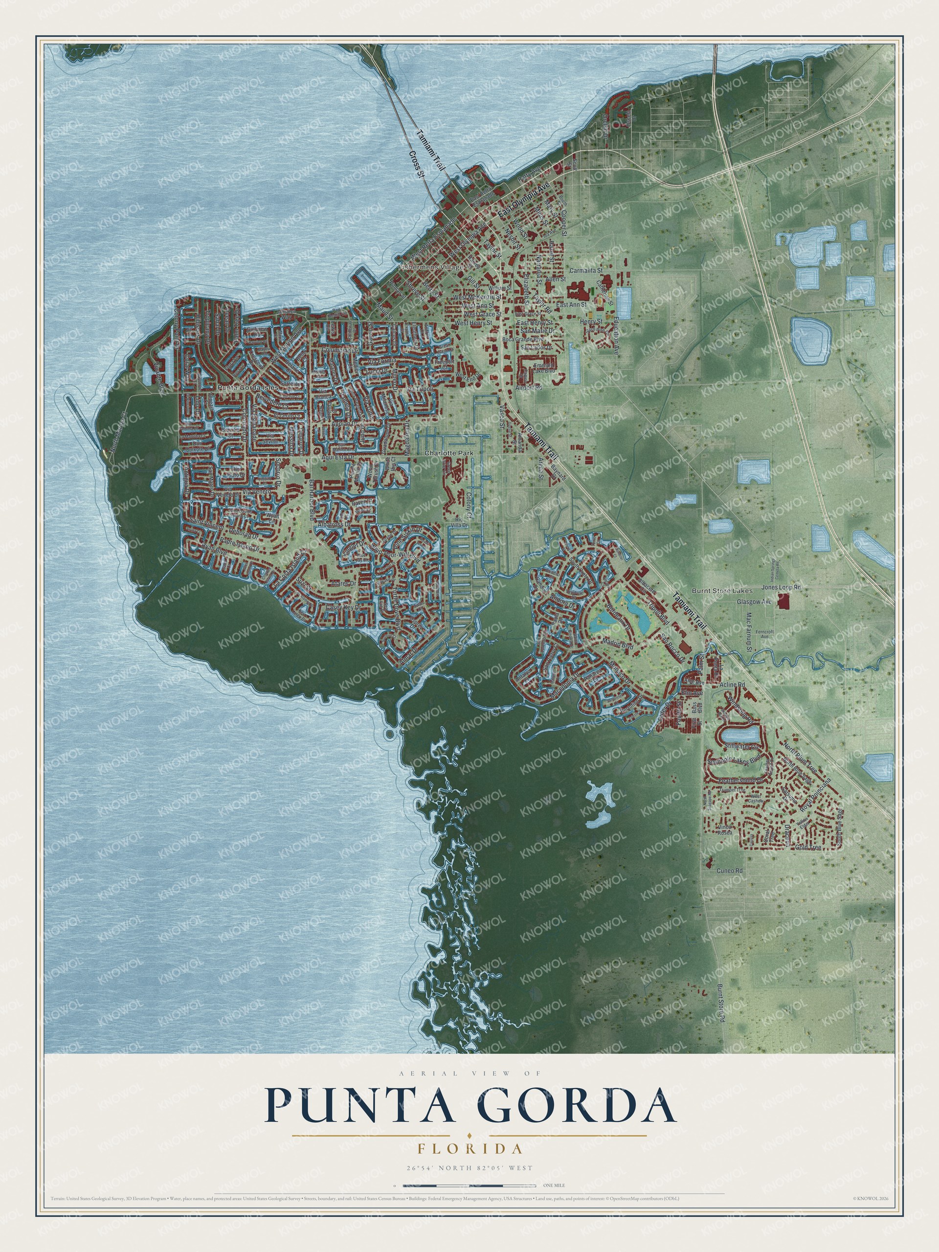
Explore Punta Gorda, Florida from a whole new perspective. Created using aerial imagery and detailed geographic data, this map captures Punta Gorda building by building, with labeled streets, familiar landmarks, and shaded topographical relief that highlights the natural contours of the landscape.
Combining modern data with the timeless character of a vintage atlas, this map is just as interesting up close as it is beautiful on the wall. Whether you grew up in Punta Gorda, spent memorable years there, or call it home today, this unique map is a great way to celebrate a place that means something to you. Zoom in on the preview to look for your street, and then order a print to put your memories on the wall.
Three ways to hang it
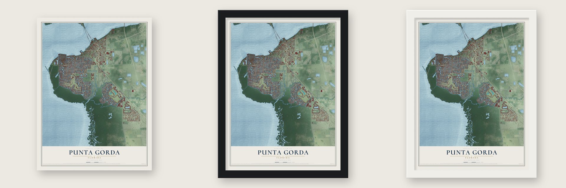
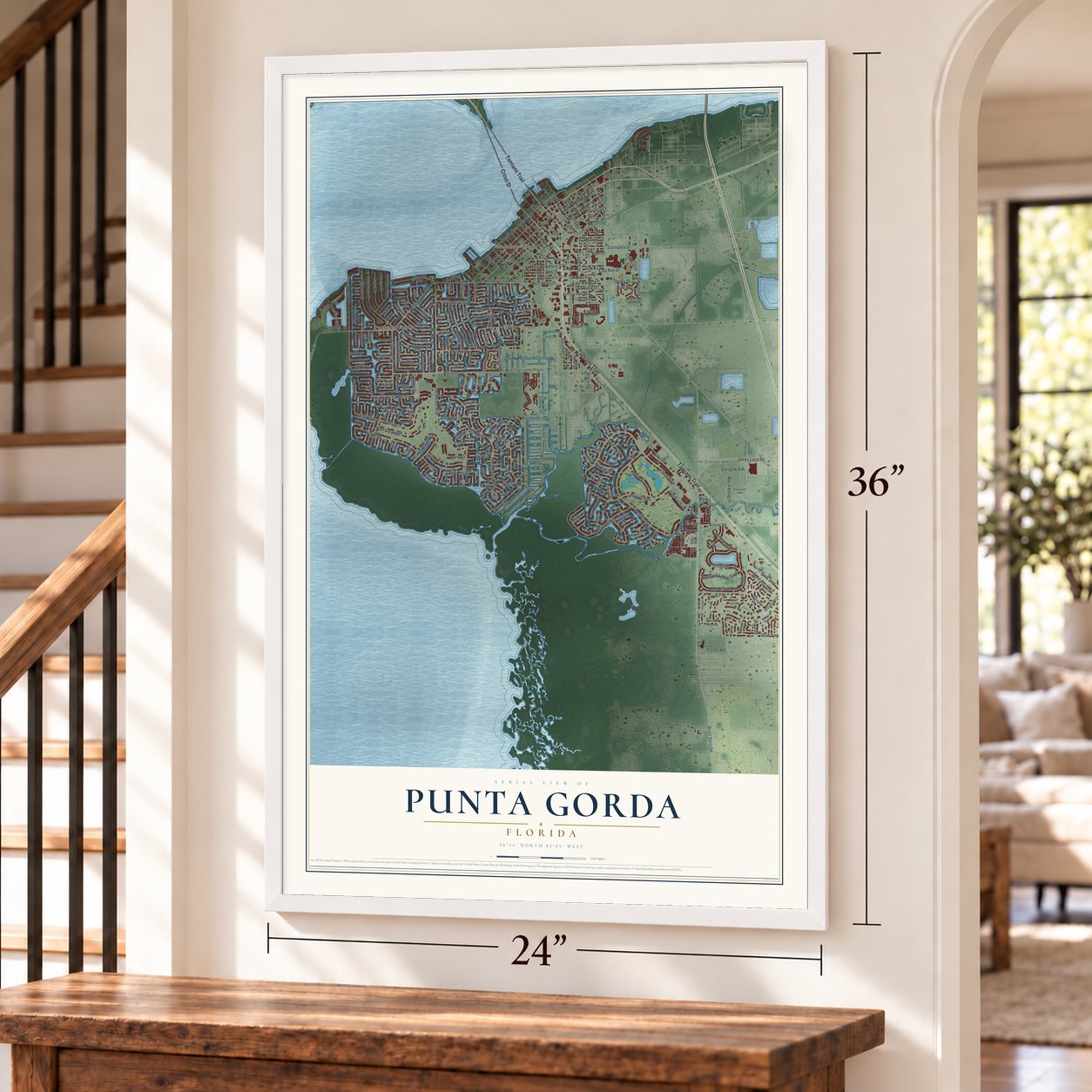
Unframed archival matte, a black wood frame or a white wood frame.
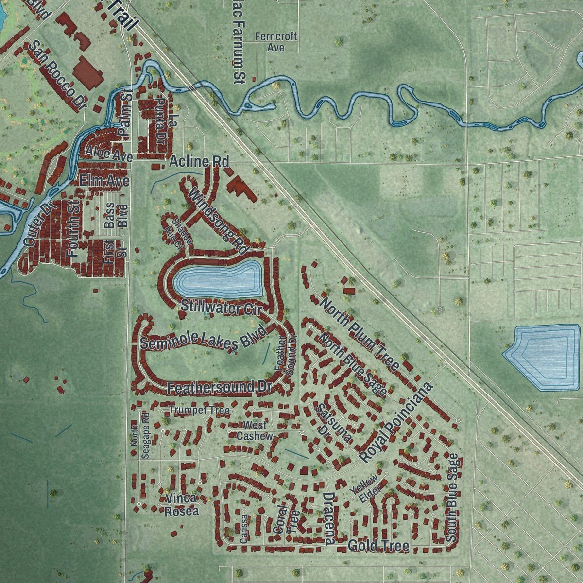
Up close
Geography Worth Displaying
This map was created using accurate cartographic data and authoritative geographic sources, including the U.S. Geological Survey (USGS) and FEMA. The map brings together terrain, waterways, roads, and building detail. The majority of the streets are labeled, houses are accurately depicted, and the topography is derived from government sources. Combining local data with carefully composed color and shading leads to this beautifully detailed Punta Gorda artwork for your wall.
Rather than simply showing street outlines, we’ve included as many of the street names as we could reasonably fit on the map while keeping their names legible. Zoom in on the high resolution preview to see exactly what’s on the map. We truly set out to create a statement piece for anyone who loves Punta Gorda. So whether it’s for you, or a gift for someone you love, we hope this map of Punta Gorda brings back fond memories.
Explore the full map of Punta Gorda, Florida and read about the local places it shows.

About Punta Gorda, Florida
Punta Gorda is the county seat of Charlotte County, a city of 19,471 people on the Peace River and Charlotte Harbor. The Calusa lived around the harbor long before Europeans came, and the Spanish name, meaning Fat Point, was on maps by 1851 for a spit of land reaching into the water. In 1883 Isaac Trabue bought land on the harbor and had a town laid out under his own name. He then talked the Florida Southern Railway into building to it.
The first train arrived in August 1886, carrying land developers and the region's first tourists, and the town stayed at the end of the line until tracks reached Fort Myers in 1904. Townspeople were unhappy that Trabue had built so little, so 34 of them gathered at Hector's Billiard Parlor on December 3, 1887. They voted to incorporate, renamed the town for the point and elected W. H. Simmons the first mayor. Four of the signers were Black. In 1890 Trabue spited the men who had dropped his name by making Robert Meacham, a Black former state senator, the first postmaster.
- World phosphate port, 1896Phosphate was discovered along the Peace River upstream from town in 1888. Miners in the valley loaded it onto barges and floated it down to Punta Gorda, where ships carried it around the world. A report in the Florida Times-Union in 1896 named Punta Gorda the greatest phosphate shipping point anywhere. The boom ended by 1907, when a railroad ran straight to Port Boca Grande.
- A rough railroad townBeing the last stop on the railroad drew trouble, and about 40 people were murdered here from 1890 to 1904. One was City Marshal John H. Bowman, shot dead in his own front parlor, with his family watching, on January 29, 1903. Wealthy visitors stayed at the elegant Punta Gorda Hotel, which Cornelius Vanderbilt once partly owned.
- A captain's bungalow from 1925Joseph Blanchard, a Black sea captain and fisherman, built a bungalow in Punta Gorda in 1925. It is now the Blanchard House Museum, which tells the story of African American life in Charlotte County and Southwest Florida.
- The 1928 depotThe Atlantic Coast Line put up a new depot at 1009 Taylor Road in 1928, designed in the Neo-Spanish style, which the company chose for only six depots. The Punta Gorda Atlantic Coast Line Depot is now on the National Register.
- 55 miles of canalsThree developers, Al Johns, Bud Cole and Sam Burchers, launched Punta Gorda Isles in 1959. They dug 55 miles of canals, each 100 feet wide and 17 feet deep, and spread the dredged sand over the lots to raise them, so every home site could reach the harbor and the Gulf by boat. Afterward Johns built Burnt Store Isles and Seminole Lakes, both with golf courses.
Find your street
Names on the Punta Gorda map
Every name below is printed on this map. Look for your street, your school, the park where you played, or the pond down the road.
Places and landmarks4
- Burnt Store Lakes
- Fishermens Village
- Charlotte Park
- Punta Gorda Isles
Streets and roads235
- Cross Street
- East Olympia Avenue
- Tamiami Trail
- Burnt Store Road
- Bal Harbor Boulevard
- West Retta Esplanade
- Outer Drive
- West Marion Avenue
- Gold Tree
- Stillwater Circle
- Saint Vincent
- Juno Drive
- West Olympia Avenue
- West McKenzie Street
- Atares Drive
- Aqui Esta Drive
- Cooper Street
- Tripoli Boulevard
- Monaco Drive
- Jones Loop Road
- Madrid Boulevard
- Almar Drive
- Deborah Drive
- Royal Poinciana
- Colony Point Drive
- Magdalina Drive
- Shreve Street
- Taylor Road
- Macedonia Drive
- Whip-Poor-Will Boulevard
Show all 235 streets
- West Henry Street
- Ryan Boulevard
- Carmalita Street
- Seminole Lakes Boulevard
- Tropicana Drive
- La Costa Island Court
- Feathersound Drive
- Narranja Street
- North Marion Court
- Education Avenue
- Casey Key Drive
- Hibiscus Drive
- Padre Island Drive
- San Rocco Drive
- Coronado Drive
- Turtle Dove Boulevard
- Via Tripoli
- East Ann Street
- Taylor Street
- Nesbit Street
- Berry Street
- Via Esplanade
- Vivante Boulevard
- Elizabeth Street
- Appian Drive
- North Plum Tree
- Allen Street
- Gill Street
- Via Formia
- Via Veneto
- Palm Tree Drive
- Mary Street
- Bordeaux Drive
- Suzi Street
- Milus Street
- Airport Road
- Glasgow Avenue
- Vasco Street
- Hazel Street
- West Grace Street
- West Ann Street
- Maud Street
- Colony Court
- Henry Street
- Pine Siskin Drive
- Sabal Drive
- Wood Street
- Mineo Drive
- Mac Farnum Street
- Albatross Drive
- Belvedere Court
- Acline Road
- Columbian Drive
- Ocean Drive
- Socorro Drive
- Lucia Drive
- Via Tunis
- East Henry Street
- Coral Way
- Patty Avenue
- Cuneo Road
- Pamela Drive
- Windsong Road
- Orchid Drive
- San Marie Drive
- Antigua Drive
- Andora Drive
- Messina Drive
- Kinglet Drive
- Garvin Street
- Fourth Street
- Dracena
- Lido Drive
- Elm Avenue
- Palm Street
- Areca Street
- Jamaica Way
- East Retta Esplanade
- South Blue Sage
- West End Drive
- Emerald Lake Boulevard
- Baynard Drive
- San Mateo Drive
- Harvey Street
- Via Veneto Drive
- Albacete Circle
- Catherine Street
- North Blue Sage
- Gulfview Road
- El Cerito Court
- Boca Grande Boulevard
- Rio Villa Drive
- William Street
- Sorrento Court
- La Punta Drive
- Lewis Circle
- Aloe Avenue
- Satsuma Drive
- South Crete Drive
- San Pietro Court
- San Carlos Drive
- Portofino Drive
- Don Quixote Drive
- Guadalupe Drive
- Purple Martin Drive
- Matares Drive
- Belaire Court
- Brazilia Court
- Caicos Drive
- Candia Drive
- Cimarron Drive
- Eleuthera Drive
- Crescent Drive
- Medici Court
- Panarea Drive
- Venezia Court
- Via Seville
- Wood Thrush Drive
- Freeport Court
- White Ibis Court
- Osprey Drive
- Brenda Court
- Flora Lane
- Pitman Street
- Vinca Rosea
- Antalya Court
- Amanda Street
- Via Milanese
- Rio Plato Drive
- Oscela Drive
- Raven Court
- Coral Tree
- Via Bianca
- Belle Court
- Bass Boulevard
- Wyatt Circle
- Paola Drive
- Scott Street
- First Street
- Santa Margerita Lane
- Feather Sound Drive
- Slash Pine Circle
- East Grace Street
- Booth Street
- Trumpet Tree
- Park Beach Circle
- Toulouse Drive
- Key Largo Drive
- La Mancha Court
- Grebe Drive
- Green Brier Circle
- San Lorenzo Drive
- Saint Davids Island Court
- San Marino Court
- West Cashew
- Sea Fan Drive
- Yellow Elder
- Ferncroft Avenue
- Kittiwake Drive
- Ida Avenue
- Saint Girons Drive
- Andros Court
- Via Paloma Drive
- Di Vinci Drive
- Napoli Lane
- Maria Court
- Wren Court
- Coldeway Drive
- Exuma Court
- Bayshore Court
- Cameo Drive
- Great Isaac Court
- Licata Court
- Rosa Lane
- Saba Court
- Brindisi Court
- Montia Court
- Blue Jay Court
- Bayou Road
- Swan Court
- Terin Court
- Indian Springs Cemeta Road
- Capri Isle Court
- Los Alamos Drive
- Royal Tern Drive
- Crooked Island Drive
- Thrasher Drive
- Santander Court
- Aruba Court
- Cassino Court
- Gussie Street
- Mondovi Court
- Bayview Road
- Surfbird Court
- Trieste Drive
- North Seagape Road
- Carissa
- Maltese Court
- Shadow Run Court
- Dileuca Street
- Spoonbill Court
- Aves Island Court
- Genoa Court
- Rio Court
- Owl Court
Names are listed as they appear on the printed map. Zoom into the product photos to find them.
The art of mapping a place
How This Map Was Made
Real places. Remarkable detail. Discover the layers that turn geographic data into a map of home.

The view from above
Aerial imagery reveals the character of the land: woodland, open fields, and the patterns of a place.

The shape of the land
Elevation data brings hills, valleys, and subtle changes in the landscape into view.

The details of home
Roads, waterways, and building footprints come together to make the map feel unmistakably local.

Geography becomes art
Considered color, shading, and typography bring the layers together in a map made for your wall.


Process illustrated with Mendon, Massachusetts. Aerial imagery: USDA NAIP. Terrain: USGS 3D Elevation Program. Map details and finished artwork: KNOWOL.
The Details
About This Print
Choose an archival matte print, or a black or white Ayous wood frame. The archival matte print is unframed.
Select your size and finish above to see the matching product image and price.
Materials & Craftsmanship
A contemporary map with the character of a classic atlas, printed on archival matte paper. Optional frames are made from Ayous wood.
Your printed map does not include the watermark shown in the full-map preview.
Shipping & Delivery
Free shipping within the United States. Every print is made to order in the USA.
Buying a gift? Add a note in your cart and we'll include it. We never put prices in the package.
Prints ship within 2 to 3 business days. Allow 7 to 10 days total from ordering for delivery. Timing may vary during holidays or periods of high order volume.
Read our shipping policy.
Returns and damaged prints
Each print is made to order. Change-of-mind refunds are not available after production.
If your print arrives damaged, misprinted or incorrect, contact support@knowol.com within 30 days of receiving it. Include your order number, photos and a description of the issue.
Read our full refund and replacement policy. For questions about your order, email support@knowol.com.
Find your town
Looking for another city?
Find a map of home in our Florida collection, or any town in the country.
Nearby
Maps of towns near Punta Gorda
Know someone from one of these towns? Their map makes a great gift.
 Charlotte Park
, Florida
From $39.99See the map
 Solana
, Florida
From $39.99See the map
 Charlotte Harbor
, Florida
From $39.99See the map
More maps nearby: Cleveland, Port Charlotte, Harbour Heights, Burnt Store Marina and Rotonda.