
Search for another town





Free U.S. delivery 7 to 10 days after you order
Portage, Indiana Map Art
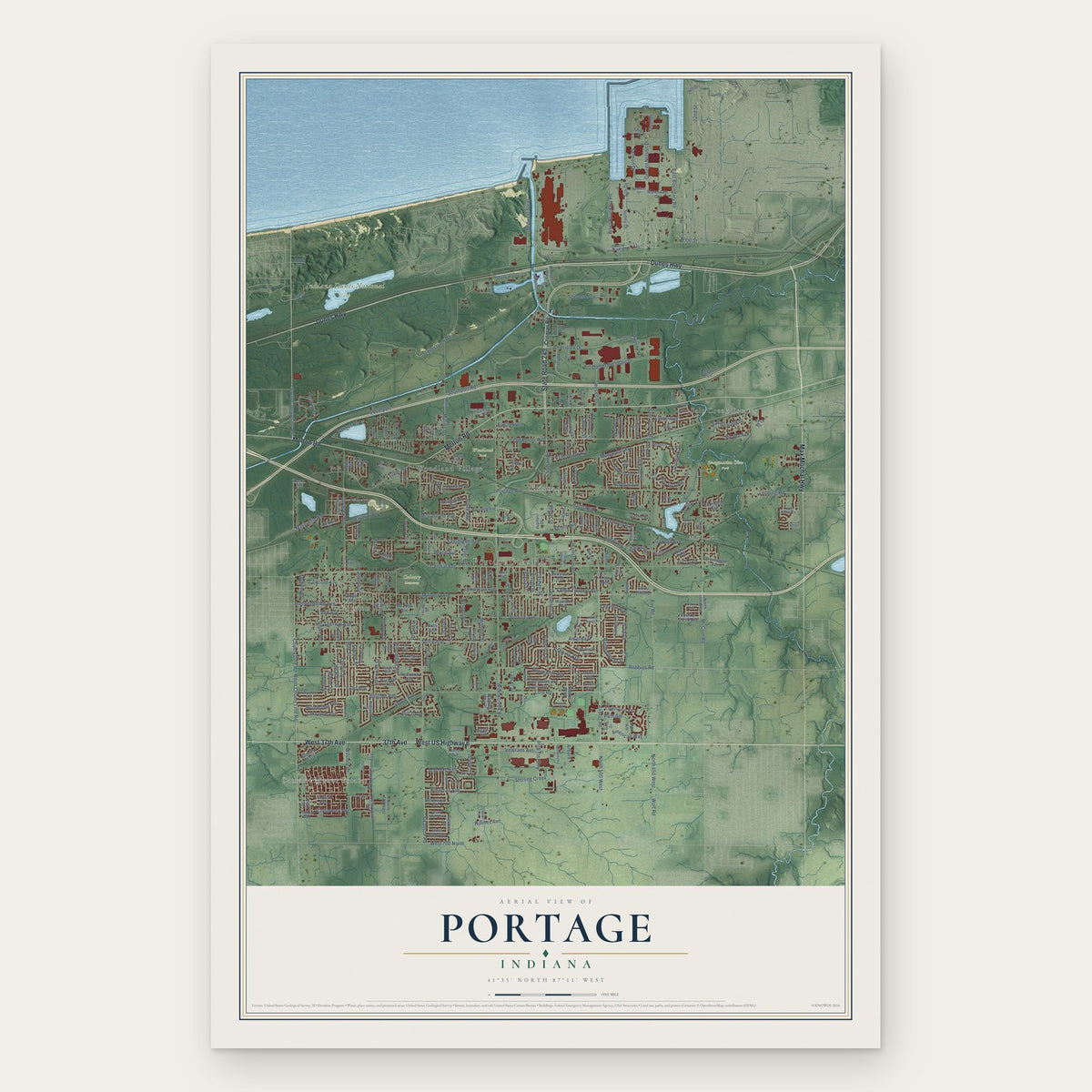
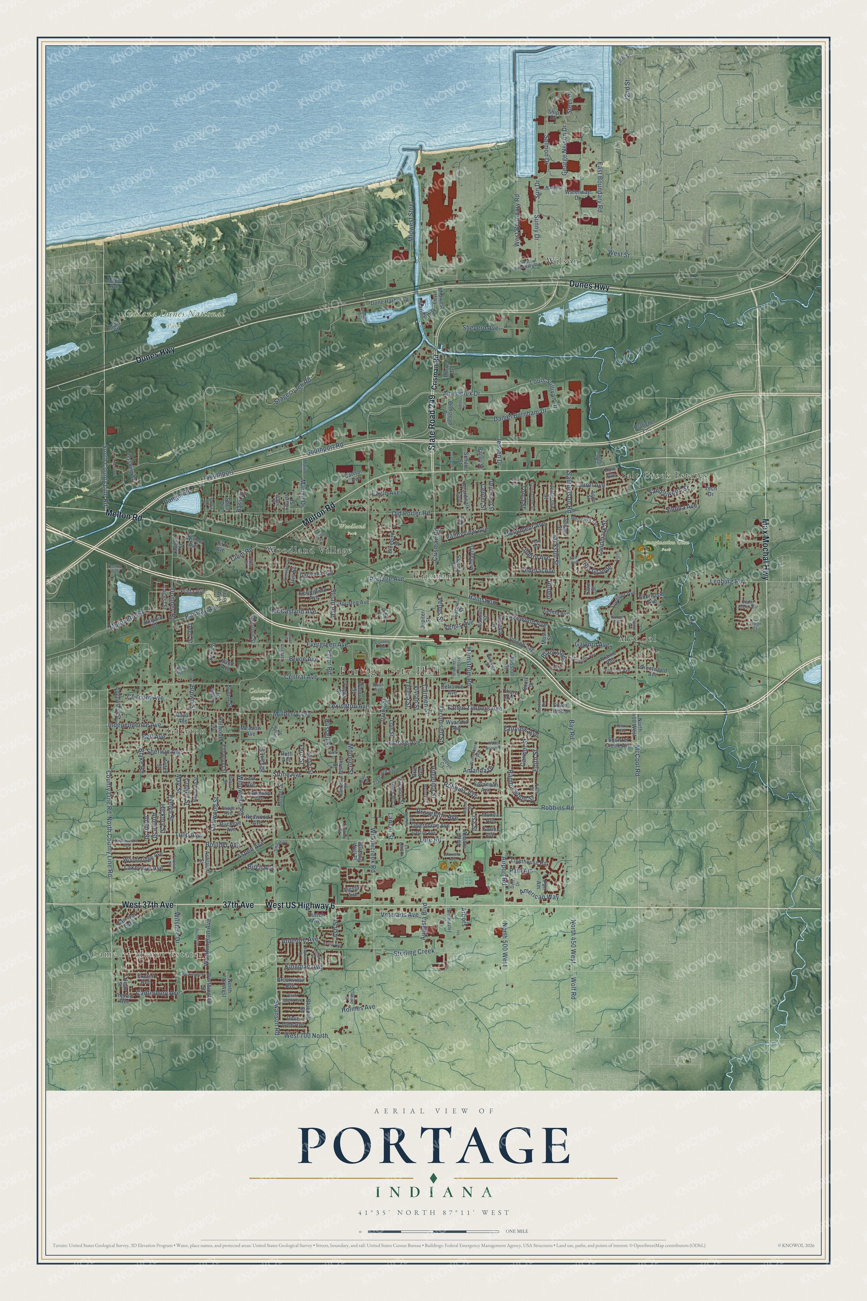
A new map of Portage, Indiana, made in 2026 and printed to order on thick archival matte paper.
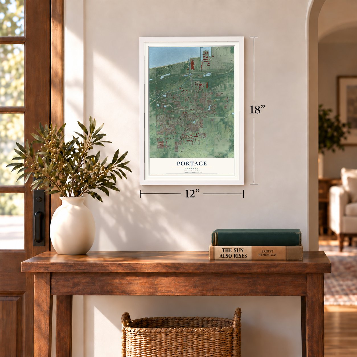
12" x 18" Archival Matte Print
A Map of Home. A Work of Art.
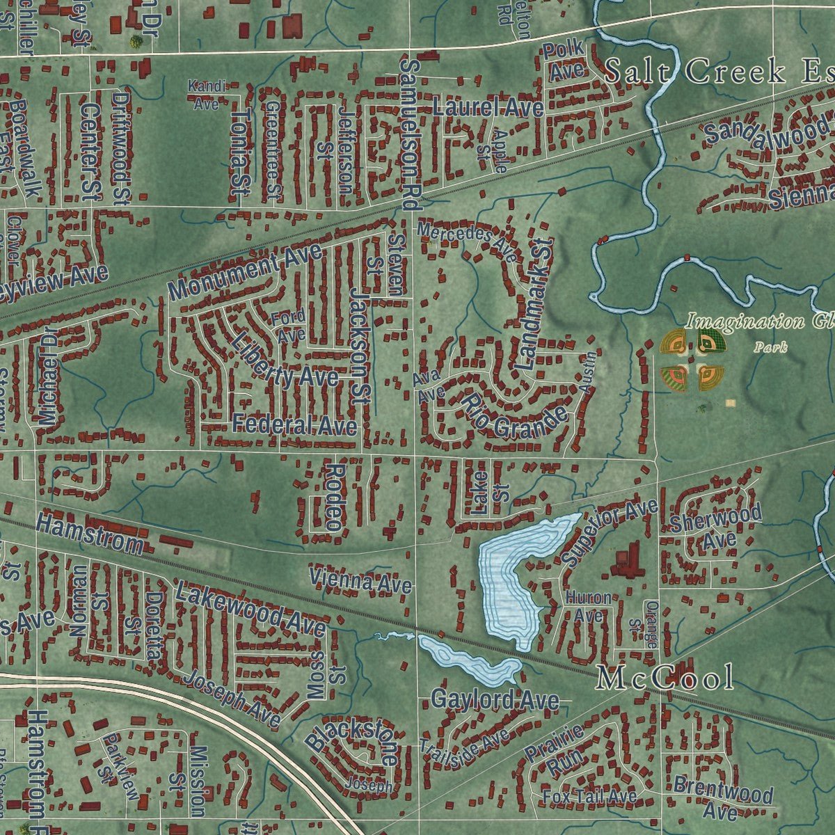
This beautifully detailed map of Portage, Indiana was created in 2026 using aerial imagery combined with modern topographical, census, street and landmark data. It's a modern aerial view of Portage in Porter County, Indiana, that combines modern data with a vintage aesthetic. Zoom in on the preview and look for your block.
Three ways to hang it
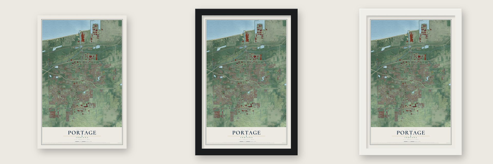
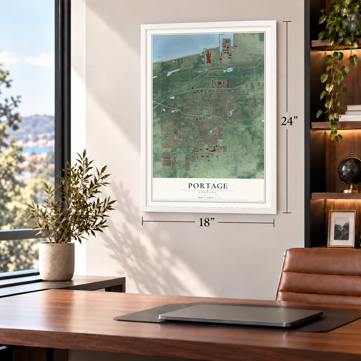
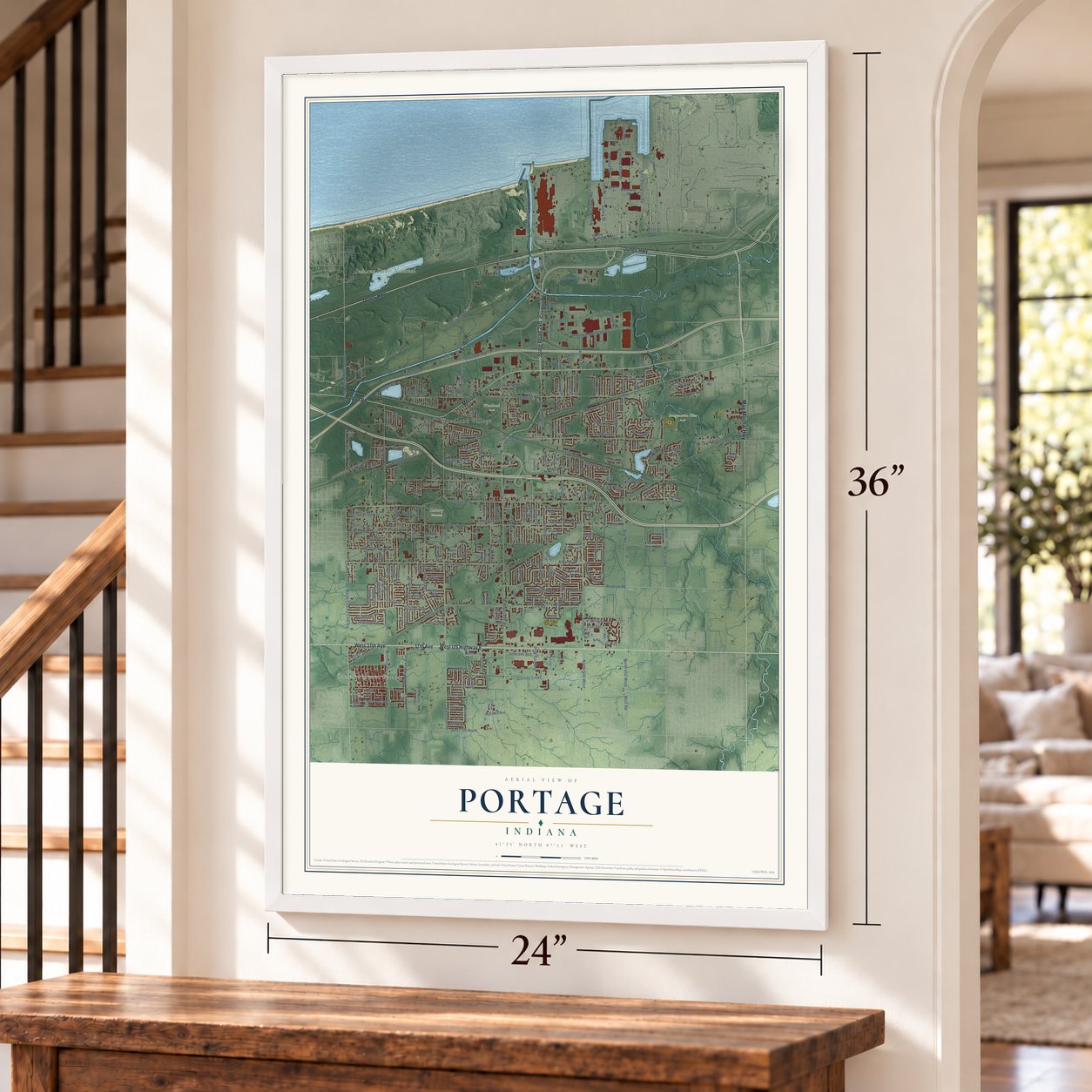
Unframed archival matte, a black wood frame or a white wood frame.
Up close
Real geography. Art worth displaying.
This map was created using accurate cartographic data and authoritative geographic sources, including the U.S. Geological Survey and the Census Bureau. The map brings together terrain, waterways, roads, and building detail. The majority of the streets are labeled, houses are accurately depicted, and the topography is derived from government sources. Combining local data with carefully composed color and shading leads to this beautifully detailed Portage artwork for your wall.
Rather than simply showing street outlines, we’ve included as many of the street names as we could reasonably fit on the map while keeping their names legible. Zoom in on the high resolution preview to see exactly what’s on the map. We truly set out to create a statement piece for anyone who loves Portage. So whether it’s for you, or a gift for someone you love, we hope this map of Portage brings back fond memories.
Read the story behind this map of Portage, Indiana from 2026.

Find your street
Names on the Portage map
Every name below is printed on this map. Look for your street, your school, the park where you played, or the pond down the road.
Places and landmarks12
- Portage City Hall
- Camelot Manor Estates
- Calvary Cemetery
- Imagination Glen Park
- Indiana Dunes National Park
- Woodland Park
- Crisman
- Garyton
- McCool
- Salt Creek Estates
- Wilson
- Woodland Village
Streets and roads309
- West US Highway 6
- Dunes Highway
- West 37th Avenue
- State Road 249
- 37th Avenue
- Melton Road
- Max Mochal Highway
- North County Line Road
- County Line Road
- Airport Road
- Central Avenue
- South County Line Road
- Crisman Road
- Ameriplex Drive
- Louis Sullivan Drive
- George Nelson Drive
- Steel Drive
- Hickory Street
- Mulberry Avenue
- Dombey Road
- Monument Avenue
- Lexington Avenue
- Angelina Street
- Salmon Drive
- Willowcreek Road
- Old Porter Road
- Swanson Road
- Stagecoach Road
- North 500 West
- Portage Avenue
Show all 309 streets
- Stone Avenue
- Midwest Steel
- Samuelson Road
- McCool Road
- Lute Road
- Robbins Road
- Evergreen Avenue
- Willowdale Road
- North 450 West
- Southport Road
- 22nd Street
- Hamstrom Road
- Independence Avenue
- Blake Road
- Lenburg Road
- Marine Drive
- Boulder Avenue
- Clem Road
- East Boundary Road
- Lakewood Avenue
- West 700 North
- Oakwood Street
- May Street
- Augusta Boulevard
- Brown Street
- McCasland Avenue
- Bruce Avenue
- Wolf Road
- Tulip Avenue
- Monnier Street
- Southport
- Daniel Burnham Drive
- Worthington Avenue
- Bay Road
- Sun Drive
- Sunny Drive
- Cooley Street
- Sherwin Avenue
- Robbins Avenue
- Sunrise Avenue
- Jackson Street
- Teresa Street
- West Boundary Road
- Aspen Avenue
- Evelyn Street
- Canterbury Avenue
- Sterling Creek
- Veterans Avenue
- Concord Avenue
- Marquette Road
- Broughton Avenue
- Sheperd Avenue
- Carmen Street
- Kingman Avenue
- Railway Avenue
- Irving Street
- Ramblewood Street
- Vivian Street
- Tecumseh Street
- Holmes Avenue
- Sloan Avenue
- Fern Street
- Federal Avenue
- Fallen Timbers Avenue
- American Way
- Arlene Street
- Center Street
- Ranger Road
- Amanda Drive
- Jensen Drive
- Lakeview Avenue
- Sienna Avenue
- Laurel Avenue
- Bryant Street
- Bell Avenue
- Joann Street
- Liberty Avenue
- Wilshire Drive
- Valleyview Avenue
- Sandalwood Street
- Venus Avenue
- Rio Grande
- Edith Street
- Carmel Street
- Landmark Street
- Gaylord Avenue
- Russell Street
- Ash Street
- Blackstone
- Ardmore Avenue
- Fairview Avenue
- Pam Am
- Bass Drive
- Eagle Avenue
- Pryor Road
- Lancer Street
- Venus Street
- Hamstrom
- Tonia Street
- Birch Avenue
- West Street
- Lisa Street
- Rodeo
- Arbors
- Iris Street
- Fiesta Avenue
- Sunset Street
- Joseph Avenue
- Camelot Ests
- Bluebird Street
- Bluebell Street
- Wishing Well Place
- Redwood Avenue
- Worthington Street
- Edgewood Street
- Eleanor Street
- Locust Street
- Houston Avenue
- Jefferson Street
- Prairie Run
- Dune Harbor Drive
- North 400 West
- Meadow Avenue
- Oglethorpe Avenue
- Brandt Street
- Lois Street
- Plaza Avenue
- Exeter Avenue
- Savannah Avenue
- Woodbridge Avenue
- Olmstead Drive
- Sand Avenue
- Buckeye Avenue
- Belmont Street
- Lighthouse Road
- Burns Drive
- Elmwood Street
- Atlanta Boulevard
- Driftwood Street
- Bender Street
- Marina Way
- Lark Avenue
- Fitz Avenue
- Brie Avenue
- Superior Avenue
- Waterway Drive
- Springfield Avenue
- Doretta Street
- Walnut Street
- Gardenia Avenue
- Saturn Street
- Boardwalk East
- Pan Am
- North 712 West
- Harmony Avenue
- Midwest Highway
- Squirrel Creek Avenue
- Brookview Avenue
- Pershing Street
- Fourth Street
- Ashland Street
- Blanche Lane
- Main Street
- Michael Drive
- Brentwood Avenue
- Willow Avenue
- Shell Drive
- Silver Cloud Drive
- Royal Avenue
- Vienna Avenue
- 26th Street
- Sherwood Avenue
- Chestnut Street
- Poplar Street
- Dove Dale Avenue
- Wyandot Avenue
- Christy Street
- Defiance Avenue
- Stormy Street
- Zurich Avenue
- Ingram Avenue
- Norman Street
- Schiller Street
- Ruth Avenue
- Carlson Avenue
- Sand Street
- Dolphin Drive
- Bailey Street
- Jupiter Street
- Mission Street
- Lapine Street
- Satin Avenue
- Monda Avenue
- Odell Street
- Engle Street
- Helix Street
- Moss Street
- Maple Avenue
- Steven Street
- Ship Drive
- Ohare Avenue
- Scott Street
- Lake Street
- Ardell Street
- Frary Avenue
- Tech Drive
- Polk Avenue
- Fifth Street
- Wade Place
- South Boundary Road
- Marine Street
- Swanson
- Osage Avenue
- Cedar Creek Circle
- Mercedes Avenue
- Trailside Avenue
- Ava Avenue
- Trailcreek Avenue
- Fox Tail Avenue
- Debra Street
- Delta Drive
- Winterberry Road
- Randolph Street
- Greentree Street
- Dutch Mill Street
- Nautical Drive
- Gaston Avenue
- Kimberly Street
- Costello Drive
- Scottsdale Street
- Croft Walk Avenue
- Parkview Street
- Clover Street
- Gina Street
- Apple Street
- Destiny Street
- Huron Avenue
- Contact Street
- Katelyn Cv
- Forrest Street
- Donna Avenue
- Lundy Avenue
- Arbor Court
- Swan Avenue
- Dixie Drive
- Ford Avenue
- Austin
- South Avenue
- Peach Street
- Canden Avenue
- Baldwin Street
- Infield Street
- Joseph
- Allison Street
- Honeysuckle Avenue
- Rochester
- Poinsettia Street
- Keller Avenue
- Buckingham
- Hidden Waters Drive
- Macon Street
- Lincoln Street
- East Bend Drive
- Sylvania Street
- Laporte Street
- Mallory Street
- Pfc Steven Sirko Way
- Medora Avenue
- Parkside Drive
- Adler Circle
- Marietta Avenue
- Bayside Drive
- Kandi Avenue
- Futura Drive
- Brown
- Orange Street
- Rabbit Road
- 26th Place
- Ivy
Names are listed as they appear on the printed map. Zoom into the product photos to find them.
The art of mapping a place
How This Map Was Made
Real places. Remarkable detail. Discover the layers that turn geographic data into a map of home.

The view from above
Aerial imagery reveals the character of the land: woodland, open fields, and the patterns of a place.

The shape of the land
Elevation data brings hills, valleys, and subtle changes in the landscape into view.

The details of home
Roads, waterways, and building footprints come together to make the map feel unmistakably local.

Geography becomes art
Considered color, shading, and typography bring the layers together in a map made for your wall.


Process illustrated with Mendon, Massachusetts. Aerial imagery: USDA NAIP. Terrain: USGS 3D Elevation Program. Map details and finished artwork: KNOWOL.
The Details
About This Print
Choose an archival matte print, or a black or white Ayous wood frame. The archival matte print is unframed.
Select your size and finish above to see the matching product image and price.
Materials & Craftsmanship
A contemporary map with the character of a classic atlas, printed on archival matte paper. Optional frames are made from Ayous wood.
Your printed map does not include the watermark shown in the full-map preview.
Shipping & Delivery
Free shipping within the United States. Every print is made to order in the USA.
Buying a gift? Add a note in your cart and we'll include it. We never put prices in the package.
Prints ship within 2 to 3 business days. Allow 7 to 10 days total from ordering for delivery. Timing may vary during holidays or periods of high order volume.
Read our shipping policy.
Returns and damaged prints
Each print is made to order. Change-of-mind refunds are not available after production.
If your print arrives damaged, misprinted or incorrect, contact support@knowol.com within 30 days of receiving it. Include your order number, photos and a description of the issue.
Read our full refund and replacement policy. For questions about your order, email support@knowol.com.
Find your town
Looking for another city?
Find a map of home in our Indiana collection.
Nearby
Maps of towns near Portage
Know someone from one of these towns? Their map makes a great gift.
 Ogden Dunes
, Indiana
From $39.99See the map
 Burns Harbor
, Indiana
From $39.99See the map
 Lake Station
, Indiana
From $39.99See the map
More maps nearby: South Haven, New Chicago, Wheeler, Porter and Salt Creek Commons.