
Search for another town




Free U.S. delivery 7 to 10 days after you order
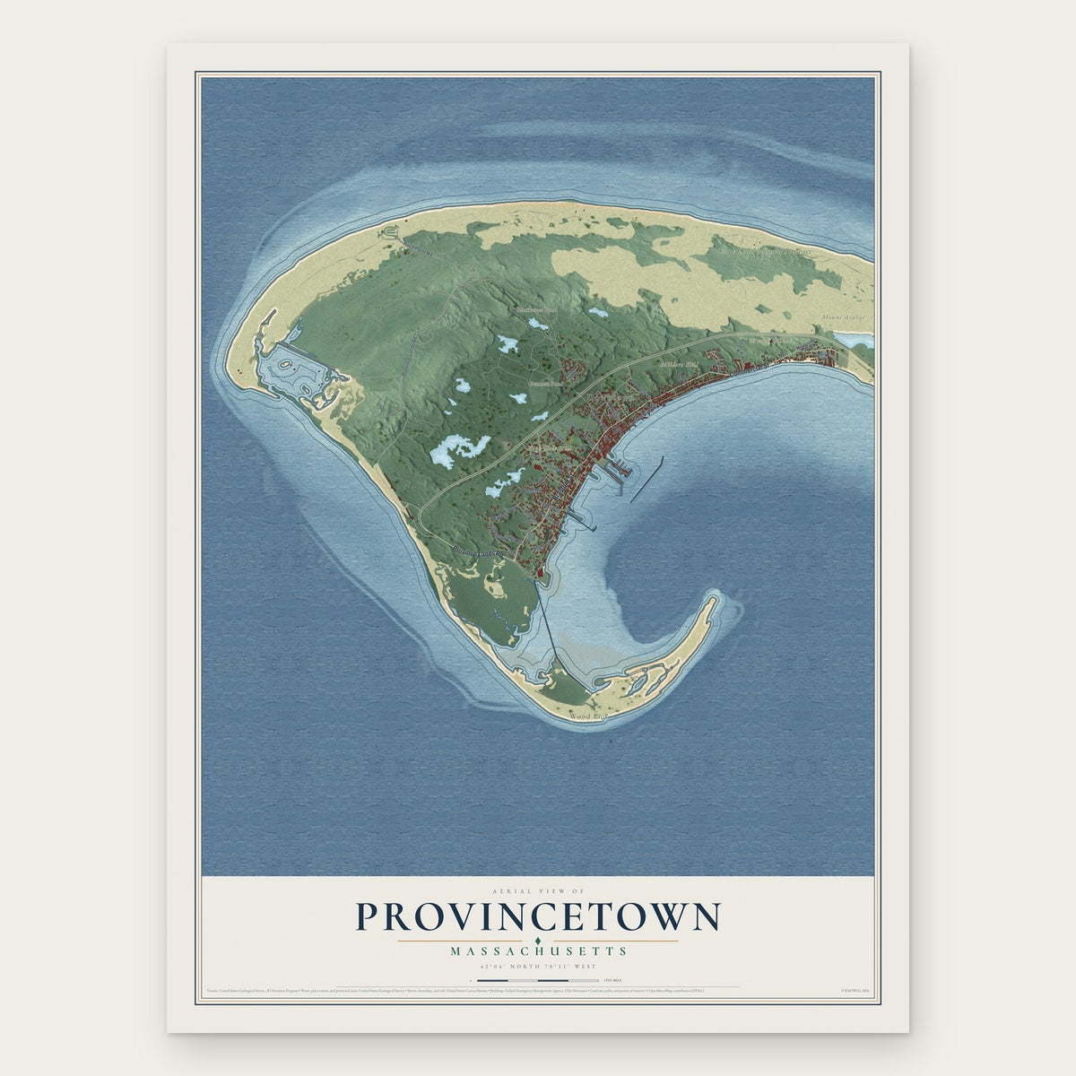
Provincetown, Massachusetts Map Art
Building by building, with labeled streets and shaded relief.
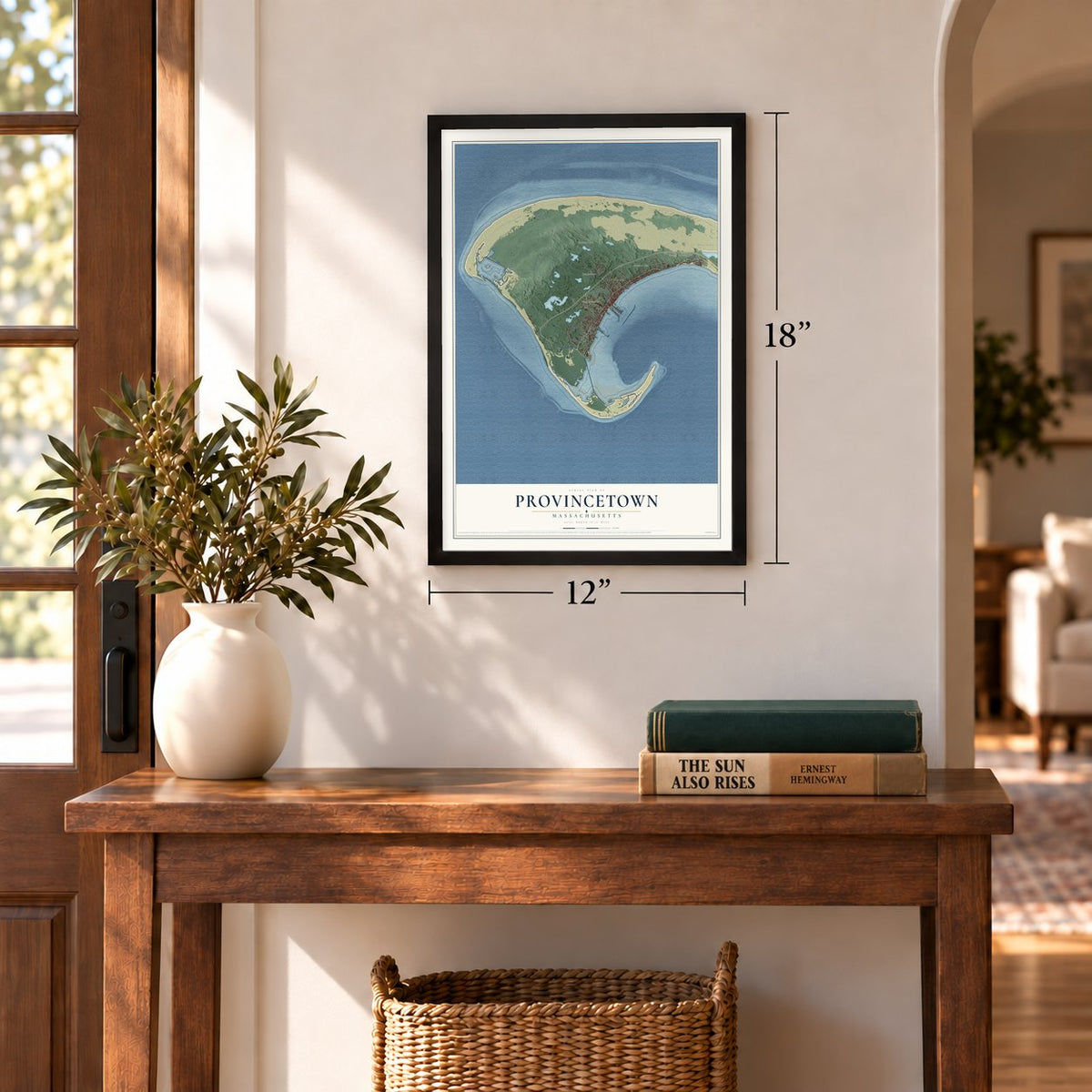
12" x 18" Archival Matte Print
A Map of Home. A Work of Art.
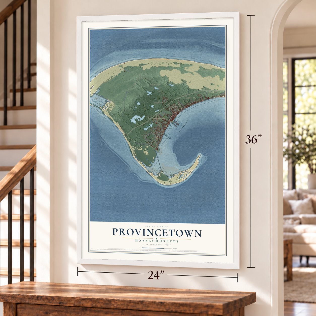
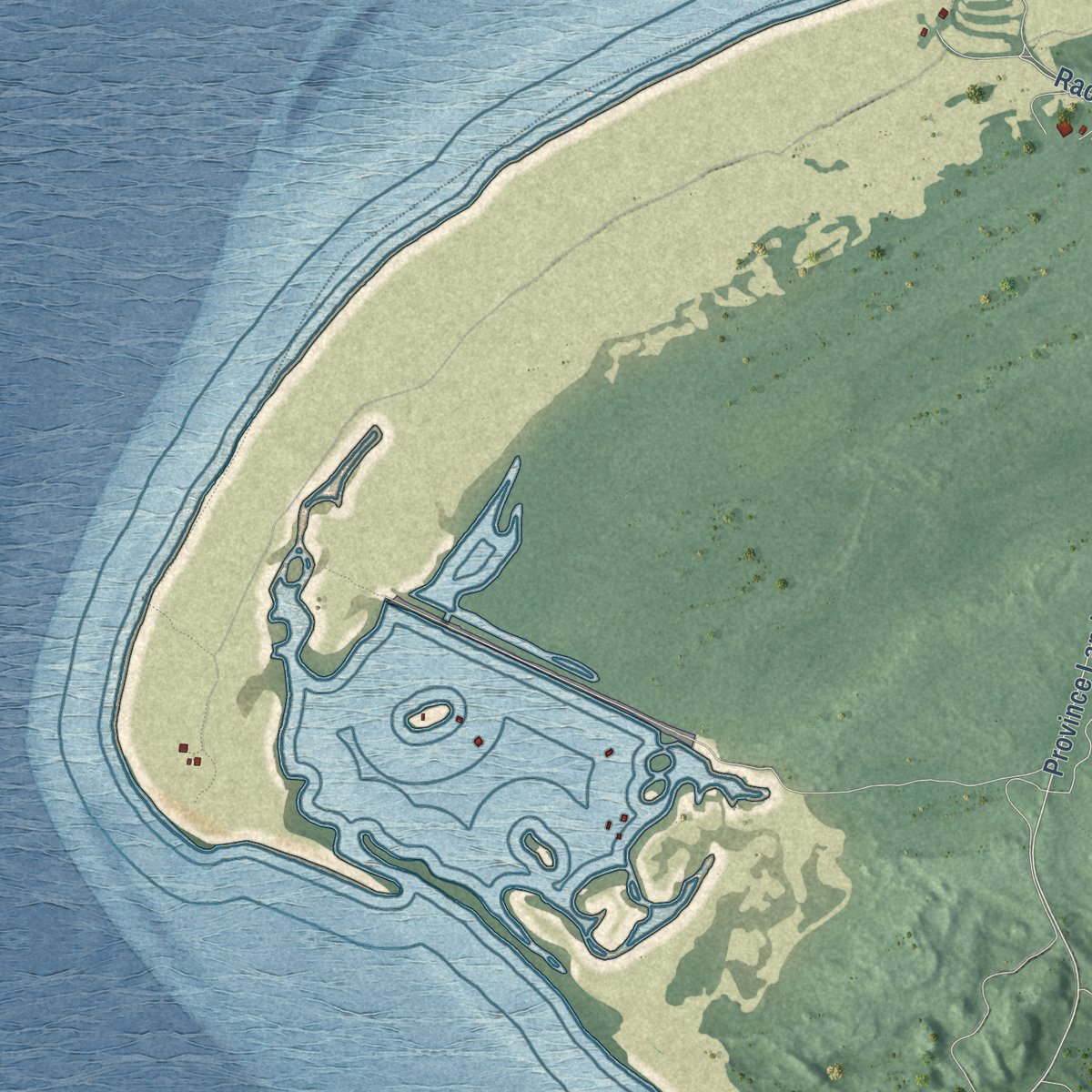
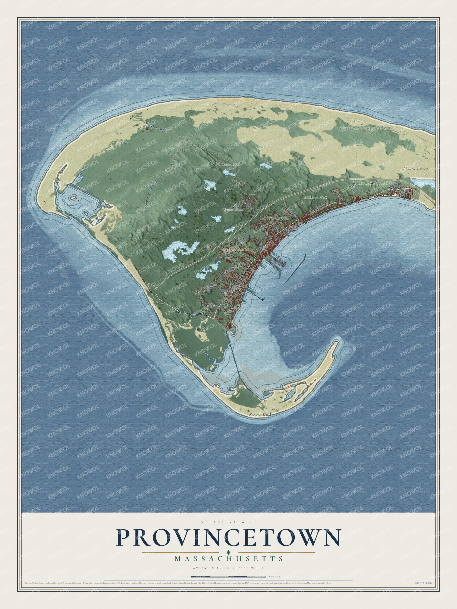
Explore Provincetown, Massachusetts from a whole new perspective. Created using aerial imagery and detailed geographic data, this map captures Provincetown building by building, with labeled streets, familiar landmarks, and shaded topographical relief that highlights the natural contours of the landscape.
Combining modern data with the timeless character of a vintage atlas, this map is just as interesting up close as it is beautiful on the wall. Whether you grew up in Provincetown, spent memorable years there, or call it home today, this unique map is a great way to celebrate a place that means something to you. Zoom in on the preview to look for your street, and then order a print to put your memories on the wall.
Three ways to hang it
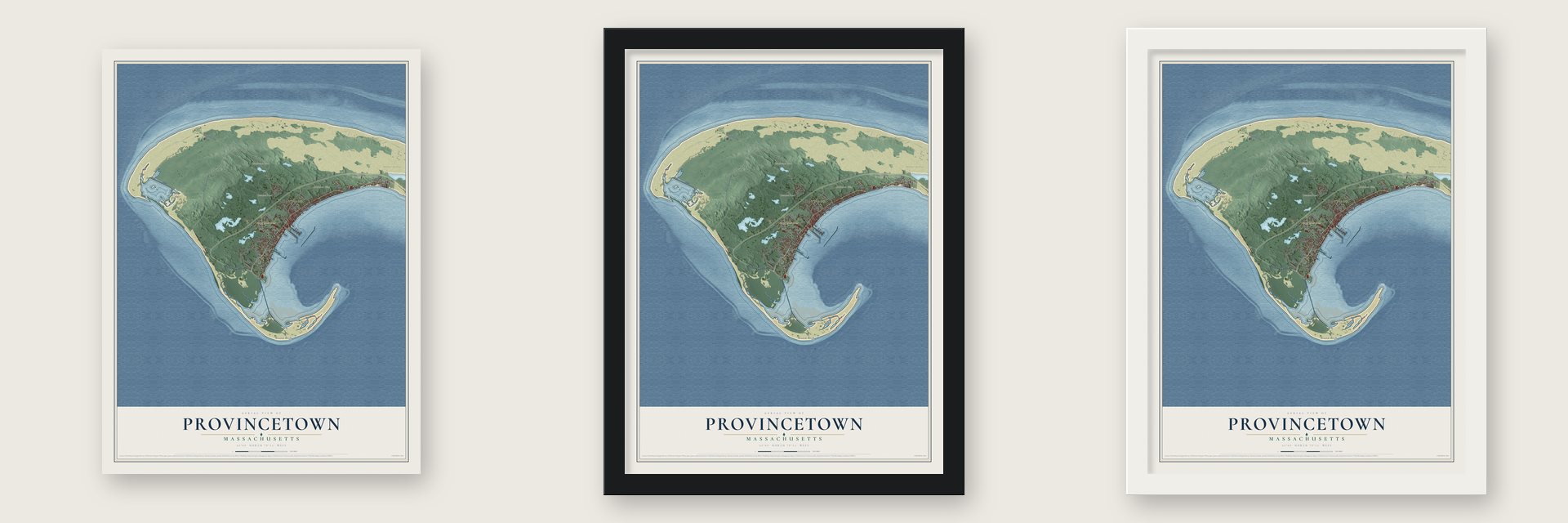
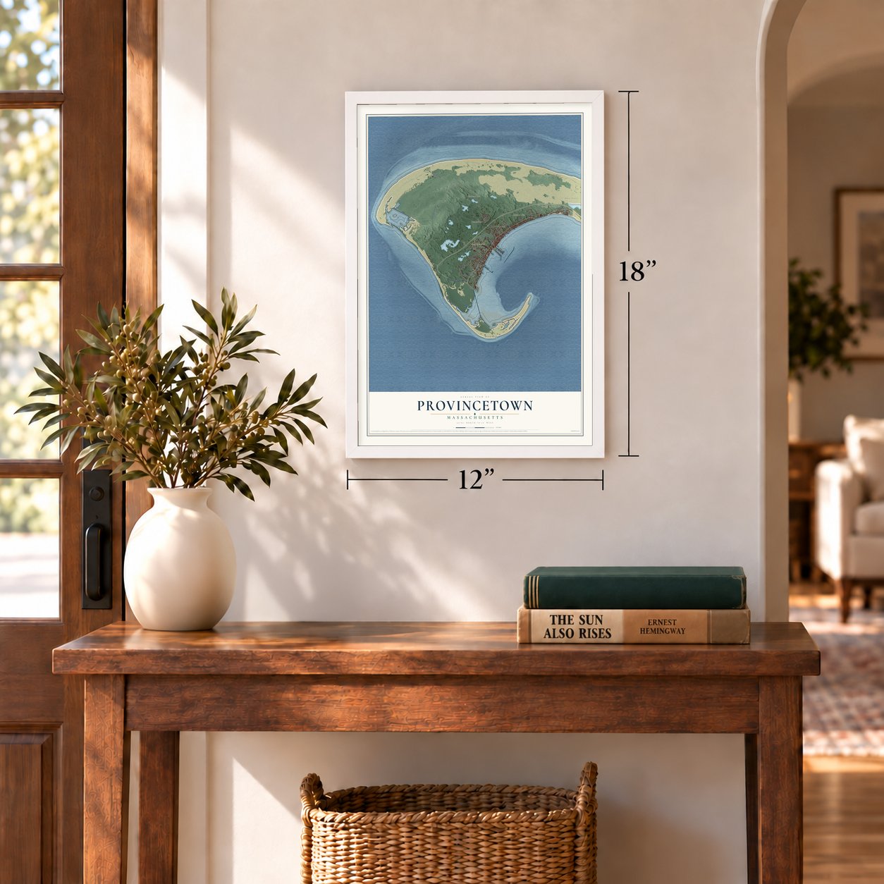
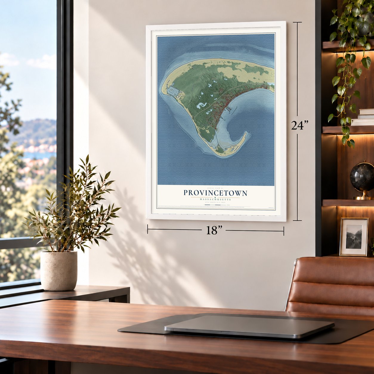
Unframed archival matte, a black wood frame or a white wood frame.
Up close
Geography Worth Displaying
This map was created using accurate cartographic data and authoritative geographic sources, including the U.S. Geological Survey (USGS) and FEMA. The map brings together terrain, waterways, roads, and building detail. The majority of the streets are labeled, houses are accurately depicted, and the topography is derived from government sources. Combining local data with carefully composed color and shading leads to this beautifully detailed Provincetown artwork for your wall.
Rather than simply showing street outlines, we’ve included as many of the street names as we could reasonably fit on the map while keeping their names legible. Zoom in on the high resolution preview to see exactly what’s on the map. We truly set out to create a statement piece for anyone who loves Provincetown. So whether it’s for you, or a gift for someone you love, we hope this map of Provincetown brings back fond memories.
Explore the full map of Provincetown, Massachusetts and read about the local places it shows.
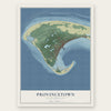
Find your street
Names on the Provincetown map
Every name below is printed on this map. Look for your street, your school, the park where you played, or the pond down the road.
Places and landmarks9
- Downtown
- Wood End
- High Pole Hill
- Millers Hill
- Mount Ararat
- Mount Gilboa
- Bennett Pond
- Blackwater Pond
- Cape Cod National Seashore
Streets and roads32
- Province Lands Road
- Bradford Street
- Commercial Street
- Franklin Street
- Alden Street
- Conwell Street
- Race Point Road
- Bayberry Avenue
- Howland Street
- Pilgrim Heights Road
- Court Street
- Snail Road
- Race Road
- Point Street
- Standish Street
- Garfield Street
- Blueberry Avenue
- Brewster Street
- Winslow Street
- Nelson Avenue
- Nickerson Street
- Mayflower Avenue
- Brown Street
- Oppen Lane
- Law Street
- Duncan Lane
- Prince Street
- Silva Lane
- Thistlemore Road
- Ships Way Road
Show all 32 streets
- Creek Hill Road
- Center Street
Names are listed as they appear on the printed map. Zoom into the product photos to find them.
About Provincetown, Massachusetts
Provincetown is a town of 3,664 people in Barnstable County, at the far tip of Cape Cod. The Nauset people had a settlement here called Meeshawn when Bartholomew Gosnold landed on May 15, 1602. He first named the spot Shoal Hope, but after his men hauled in a great store of codfish he renamed it Cape Cod, a name that only later spread to the whole peninsula. The Mayflower sighted the cape on November 9, 1620, and after two days of trying to sail south against winter seas it turned back and anchored in the harbor. There the Pilgrims wrote and signed the Mayflower Compact, then landed in the West End before settling across the bay at Plymouth.
In 1654 Plymouth Colony's governor bought the land from the chief of the Nausets, paying with 12 axes, 12 hoes, 12 knives, six coats, two brass kettles and a box. The colony rented its fishing grounds to visiting fishermen and spent the fees on schools. The land was renamed the Province Lands in 1692, and on June 14, 1727, it became a town. Its people asked to call it Herringtown, but the General Court picked Provincetown instead. Residents could hold their land without owning it, and that rule lasted until the court gave them deeds in 1893.
“Here every man had a path from his house to his boat or vessel, and once launched, he was on the broad highway of nations without tax or toll.”
- Almost an island until 1873Because the inlet of East Harbor cut the town off, the only way in by land was long a thin strip of beach along the backshore. A wooden bridge over the harbor, built in 1854, fell to storm and ice two years later. In 1868 the harbor's mouth was diked for a railroad, which opened in 1873 at Railroad Wharf, now MacMillan Pier, letting fishermen ship their catch to the cities. A real road came in 1877.
- An art colony after 1898The Portland Gale of 1898 badly hurt the fishing fleet, and artists and writers moved into many of the buildings left empty. That same year the painter Charles Webster Hawthorne opened his Cape Cod School of Art. By some accounts it was the first school to teach figure painting in the open air, and film of his 1916 class still survives. In 1914 he helped start the Provincetown Art Association, now a museum at 460 Commercial Street.
- Plays in a fish houseDuring the summer of 1915, some friends staged two one-act plays in a house in town, then moved their stage out onto Lewis Wharf, into an old fish house. Calling themselves the Provincetown Players, they gave early starts to the playwrights Eugene O'Neill and Susan Glaspell. Many of the members lived in New York's Greenwich Village for the rest of the year.
- 252 feet of graniteThe Pilgrim Monument went up between 1907 and 1910 to mark the Pilgrims' arrival. Theodore Roosevelt laid the cornerstone and William H. Taft dedicated the finished tower, which was modeled on the Torre del Mangia in Siena, Italy. At about 252 feet, it is the tallest structure in the country built entirely of granite.
- Wood End Light, 1872Wood End Light stands at the southwest end of Long Point, and its lamp burned for the first time on November 20, 1872. In 1981, more than a century later, Wood End became the first Massachusetts lighthouse to power both its light and its fog signal with energy from the sun.
Keep exploring Massachusetts
Provincetown is one of 468 Massachusetts towns we've mapped. Every dot on the map is a print of its own.
The search covers every state, Massachusetts first.
Near Provincetown
Order 2 or more town maps and save 10%. Shown in the size and finish you picked above, so they hang as a set.
- Truro 12" x 18" / Archival Matte Print $39.99
- Wellfleet 12" x 18" / Archival Matte Print $39.99
- Eastham 12" x 18" / Archival Matte Print $39.99
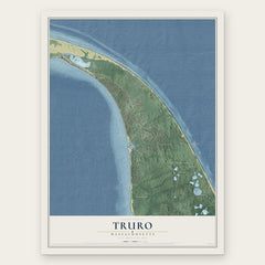

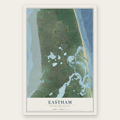
More maps nearby: North Eastham, Manomet, East Dennis, Brewster and Orleans.
The art of mapping a place
How This Map Was Made
Real places. Remarkable detail. Discover the layers that turn geographic data into a map of home.

The view from above
Aerial imagery reveals the character of the land: woodland, open fields, and the patterns of a place.

The shape of the land
Elevation data brings hills, valleys, and subtle changes in the landscape into view.

The details of home
Roads, waterways, and building footprints come together to make the map feel unmistakably local.

Geography becomes art
Considered color, shading, and typography bring the layers together in a map made for your wall.


Process illustrated with Mendon, Massachusetts. Aerial imagery: USDA NAIP. Terrain: USGS 3D Elevation Program. Map details and finished artwork: KNOWOL.
The Details
About This Print
Choose an archival matte print, or a black or white Ayous wood frame. The archival matte print is unframed.
Select your size and finish above to see the matching product image and price.
Materials & Craftsmanship
A contemporary map with the character of a classic atlas, printed on archival matte paper. Optional frames are made from Ayous wood.
Your printed map does not include the watermark shown in the full-map preview.
Shipping & Delivery
Free shipping within the United States. Every print is made to order in the USA.
Buying a gift? Add a note in your cart and we'll include it. We never put prices in the package.
Prints ship within 2 to 3 business days. Allow 7 to 10 days total from ordering for delivery. Timing may vary during holidays or periods of high order volume.
Read our shipping policy.
Returns and damaged prints
Each print is made to order. Change-of-mind refunds are not available after production.
If your print arrives damaged, misprinted or incorrect, contact support@knowol.com within 30 days of receiving it. Include your order number, photos and a description of the issue.
Read our full refund and replacement policy. For questions about your order, email support@knowol.com.