
Search for another town




Free U.S. delivery 7 to 10 days after you order
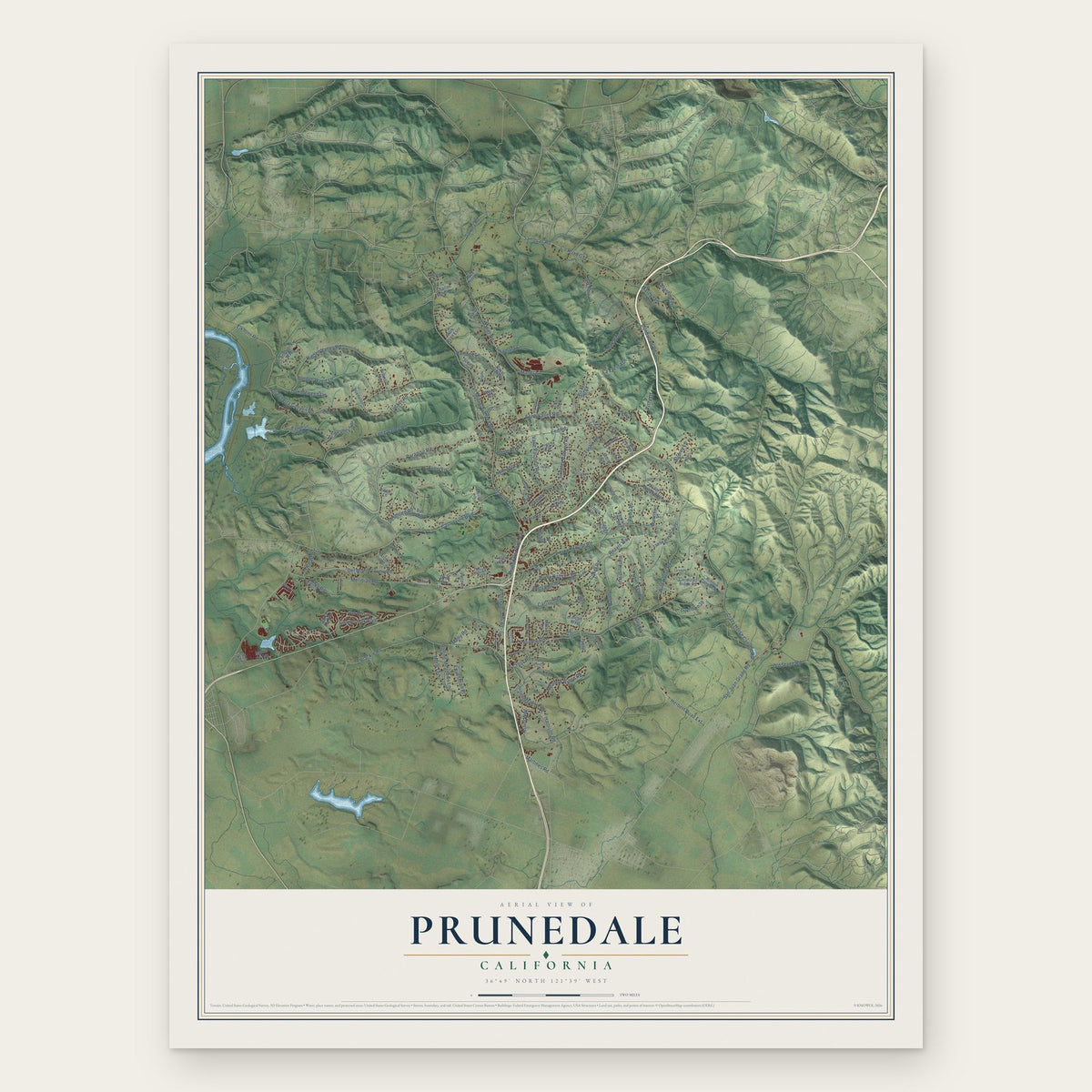
Prunedale, California Map Art
Building by building, with labeled streets and shaded relief.
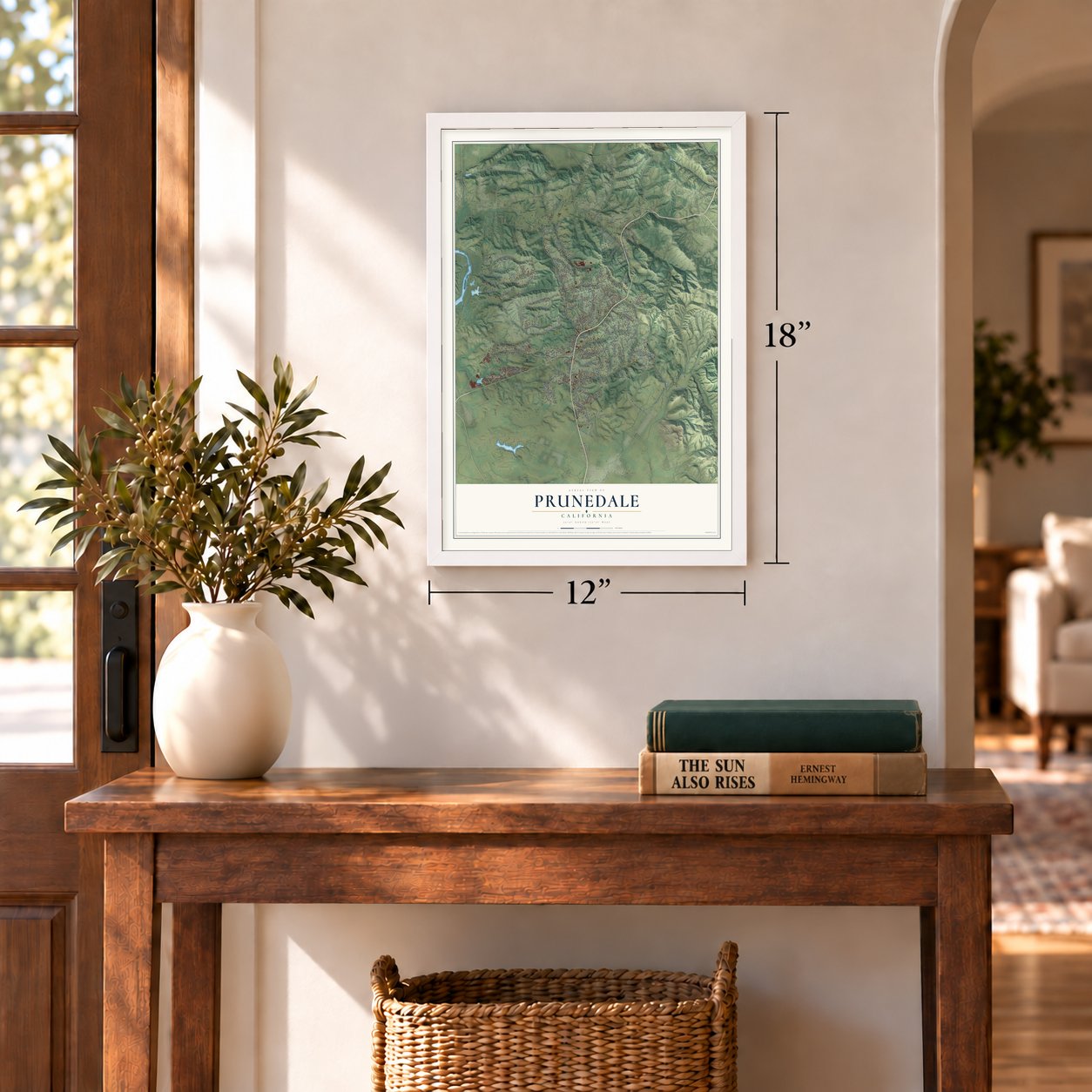
12" x 18" Archival Matte Print
A Map of Home. A Work of Art.
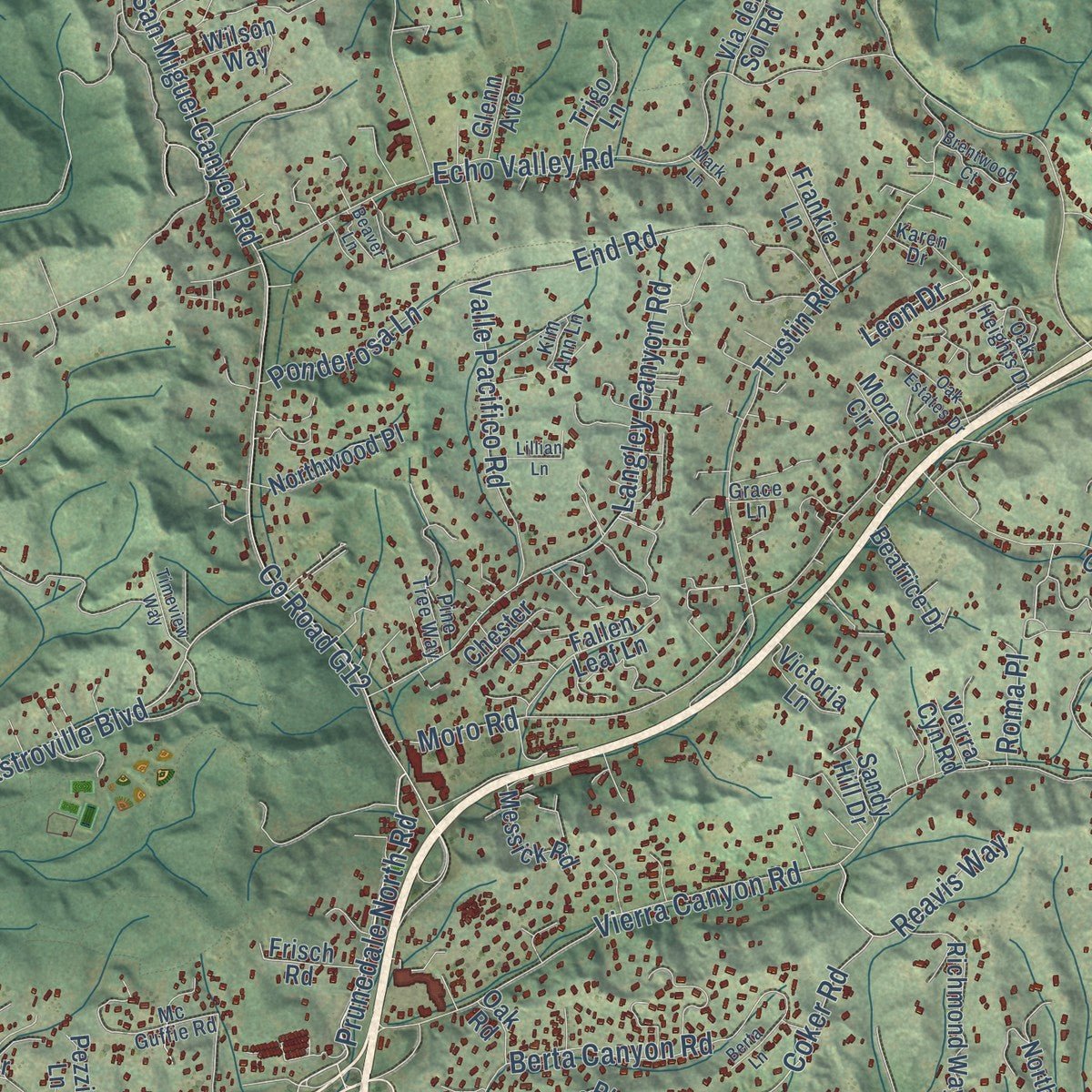
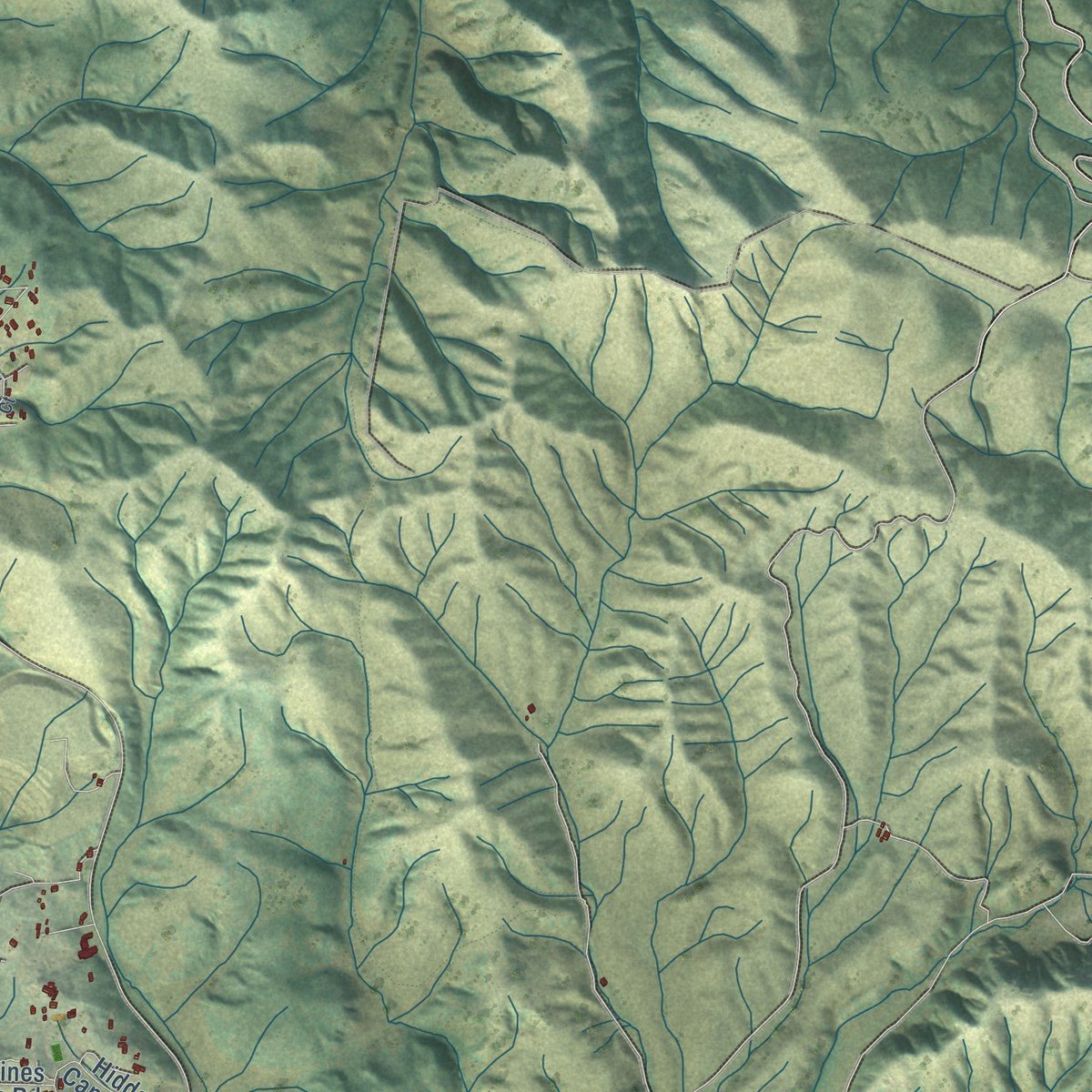
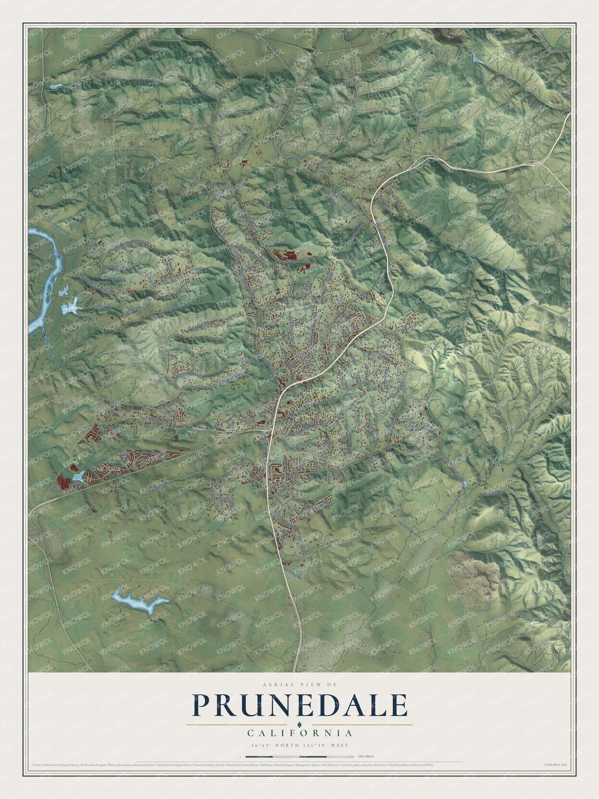
Explore Prunedale, California from a whole new perspective. Created using aerial imagery and detailed geographic data, this map captures Prunedale building by building, with labeled streets, familiar landmarks, and shaded topographical relief that highlights the natural contours of the landscape.
Combining modern data with the timeless character of a vintage atlas, this map is just as interesting up close as it is beautiful on the wall. Whether you grew up in Prunedale, spent memorable years there, or call it home today, this unique map is a great way to celebrate a place that means something to you. Zoom in on the preview to look for your street, and then order a print to put your memories on the wall.
Three ways to hang it
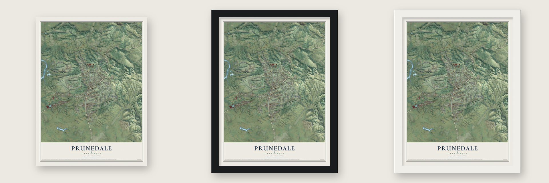
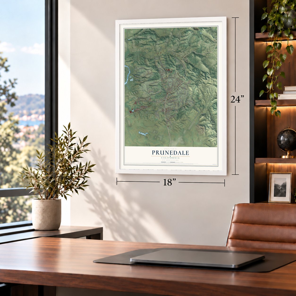
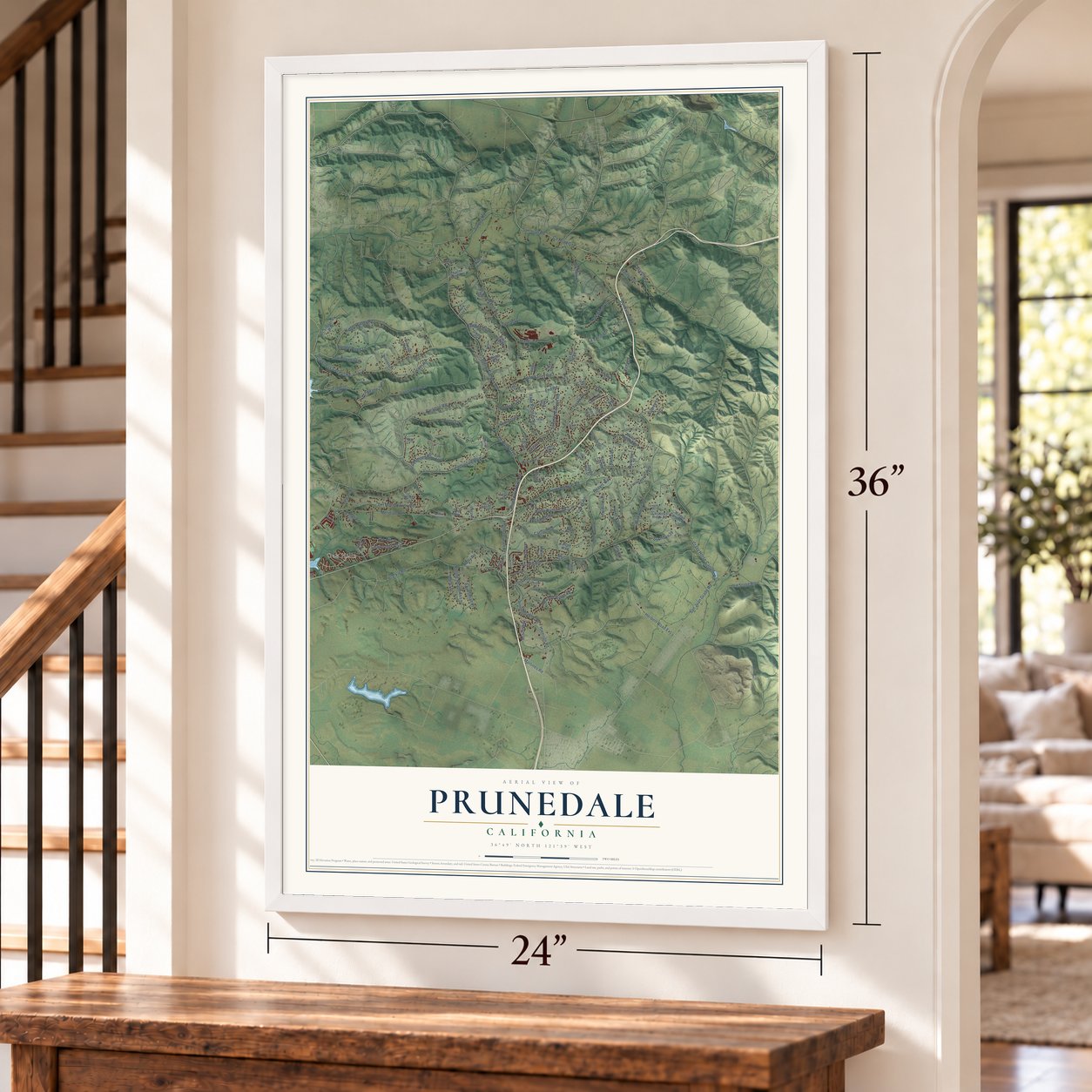
Unframed archival matte, a black wood frame or a white wood frame.
Up close
Geography Worth Displaying
This map was created using accurate cartographic data and authoritative geographic sources, including the U.S. Geological Survey and the Census Bureau. The map brings together terrain, waterways, roads, and building detail. The majority of the streets are labeled, houses are accurately depicted, and the topography is derived from government sources. Combining local data with carefully composed color and shading leads to this beautifully detailed Prunedale artwork for your wall.
Rather than simply showing street outlines, we’ve included as many of the street names as we could reasonably fit on the map while keeping their names legible. Zoom in on the high resolution preview to see exactly what’s on the map. We truly set out to create a statement piece for anyone who loves Prunedale. So whether it’s for you, or a gift for someone you love, we hope this map of Prunedale brings back fond memories.
Read the story behind this map of Prunedale, California from 2026.

Find your street
Names on the Prunedale map
Every name below is printed on this map. Look for your street, your school, the park where you played, or the pond down the road.
Places and landmarks1
- Oak Hills
Streets and roads143
- Prunedale North Road
- Coker Road
- Castroville Boulevard
- Herbert Road Extension
- Blackie Road
- Harrison Road
- San Juan Grade Road
- San Miguel Canyon Road
- County Road G12
- Crazy Horse Canyon Road
- Strawberry Canyon Road
- Echo Valley Road
- Elkhorn Road
- Paradise Road
- Hidden Valley Road
- Maher Road
- Long Valley Road
- Meridian Road
- County Road G11
- Vierra Canyon Road
- Pesante Road
- Old Stage Road
- San Juan Road
- Moro Road
- Tustin Road
- Charter Oak Boulevard
- Wild Horse Road
- Del Monte Farms Road
- Langley Canyon Road
- Dunbarton Road
Show all 143 streets
- Berta Canyon Road
- La Encina Drive
- Tarpey Road
- Oak Ridge Drive
- Holly Hill Drive
- Tucker Road
- Avery Lane
- Desmond Road
- Meadow Ridge Road
- Valle Pacifico Road
- Molly Road
- Tamara Lane
- Long Valley Spr
- Equestrian Place
- Corey Road
- End Road
- Tumble Weed Lane
- Cross Road
- Rolling Meadows Lane
- Moro Terrace
- Reavis Way
- Valley Road
- Carlson Road
- Marilyn Lane
- Vista Drive
- Maher Court
- Audrey Lane
- Unknown39
- Ballantree Lane
- Tumbleweed Lane
- Ponderosa Lane
- Assisi Way
- Hambey Lane
- Ormart Road
- Martines Road
- Roma Place
- Leon Drive
- Prunedale South Road
- Mallory Canyon Road
- Campagna Way
- Oak Hills Drive
- Hidden Canyon Road
- Berta Ridge Place
- Royal Oak Place
- North King Road
- Country Meadows Road
- Richmond Way
- Beatrice Drive
- Archer Road
- Martin Lane
- Cielo Azul
- Lynne Haven Way
- Dyer Road
- Canyon Oak Road
- Fallen Leaf Lane
- Paradise Valley Road
- Via del Sol Road
- Northwood Place
- Charles Schell Lane
- Wilson Way
- Pollock Lane
- Monte de Oro
- Trigo Lane
- Messick Road
- Apricot Lane
- Eden Lane
- Frankie Lane
- Matterhorn Place
- Victoria Lane
- Frisch Road
- Briarcliff Terrace
- Carolines Ridge Road
- Buenelos
- Little Hill Lane
- Mark Ryan Ests
- Chester Drive
- Moro Circle
- Falcon Way
- Strong Circle
- King Road
- Sandy Hill Drive
- Glenn Avenue
- Pezzini Lane
- Veirra Cyn Road
- Viva Lane
- Roc Road
- Oak Road
- Eden Court
- Mc Guffie Road
- Forrest Lane
- Pine Tree Way
- Oak Heights Drive
- Orchard Lane
- Cunha Lane
- Kim Ann Lane
- Eagle Way
- Karen Drive
- Padilla Place
- Grace Lane
- South Prunedale Road
- Tarawild Court
- Belma Court
- Avenue Los Altos
- Sam Hill Way
- Oak Estates Drive
- Lillian Lane
- Brentwood Court
- Timeview Way
- Meridian Frontage
- Berta Lane
- Revilla Drive
- Beaver Lane
- Mark Lane
Names are listed as they appear on the printed map. Zoom into the product photos to find them.
About Prunedale, California
Prunedale is a community of 18,885 people in northern Monterey County, about 8 miles north of Salinas. Charles Langley, a Watsonville banker, was among its earliest settlers, and he ran the Prunedale post office after it opened in 1894. That office shut in 1908 and did not open again until 1953. Langley Canyon Road still carries the family's name.
“The name Prunedale is not officially explained in any document but it is thought to have originated years ago with an attempt to establish prune tree orchards in North Monterey County. The crop was not successful but the name Prunedale remained and has come to represent a rural lifestyle envied by many.”
- Highway 101 arrivesU.S. Route 101 once ran from Salinas to San Juan Bautista on today's San Juan Grade Road. In 1931 and 1932 it was moved through Prunedale, and in 1946 it was widened to four lanes. Heavy traffic later brought double fines and a 55 mile per hour limit. No bypass was built, so in the early 2000s Caltrans added a San Miguel Canyon overpass and rebuilt the Highway 156 interchange. As deaths fell, the limit rose to 60.
- A senior center from 1989Glenn's was one of the first businesses in Prunedale, and the Prunedale Shopping Center went up in the 1970s. Monterey County Supervisor Marc Del Piero found the grant money for the Prunedale Senior Citizens' Center, which opened in 1989. It still serves meals to seniors and runs public aid programs, including a regular food bank giveaway.
- A rare wild orchidYadon's piperia, an endangered wild orchid, grows in only a handful of known colonies, and the hills above Prunedale shelter one of them. Much of the land is set aside as oak reserve to protect native trees, and the county's Royal Oaks Park and Manzanita Park are close by.
Keep exploring California
Prunedale is one of 1,914 California towns we've mapped. Every dot on the map is a print of its own.
The search covers every state, California first.
Near Prunedale
Order 2 or more town maps and save 10%. Shown in the size and finish you picked above, so they hang as a set.
- Elkhorn 12" x 18" / Archival Matte Print $39.99
- Aromas 12" x 18" / Archival Matte Print $39.99
- Las Lomas 12" x 18" / Archival Matte Print $39.99
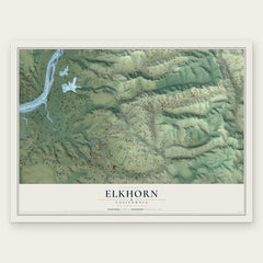
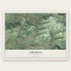

More maps nearby: Castroville, Natividad, San Juan Bautista, Moss Landing and Pajaro.
The art of mapping a place
How This Map Was Made
Real places. Remarkable detail. Discover the layers that turn geographic data into a map of home.

The view from above
Aerial imagery reveals the character of the land: woodland, open fields, and the patterns of a place.

The shape of the land
Elevation data brings hills, valleys, and subtle changes in the landscape into view.

The details of home
Roads, waterways, and building footprints come together to make the map feel unmistakably local.

Geography becomes art
Considered color, shading, and typography bring the layers together in a map made for your wall.


Process illustrated with Mendon, Massachusetts. Aerial imagery: USDA NAIP. Terrain: USGS 3D Elevation Program. Map details and finished artwork: KNOWOL.
The Details
About This Print
Choose an archival matte print, or a black or white Ayous wood frame. The archival matte print is unframed.
Select your size and finish above to see the matching product image and price.
Materials & Craftsmanship
A contemporary map with the character of a classic atlas, printed on archival matte paper. Optional frames are made from Ayous wood.
Your printed map does not include the watermark shown in the full-map preview.
Shipping & Delivery
Free shipping within the United States. Every print is made to order in the USA.
Buying a gift? Add a note in your cart and we'll include it. We never put prices in the package.
Prints ship within 2 to 3 business days. Allow 7 to 10 days total from ordering for delivery. Timing may vary during holidays or periods of high order volume.
Read our shipping policy.
Returns and damaged prints
Each print is made to order. Change-of-mind refunds are not available after production.
If your print arrives damaged, misprinted or incorrect, contact support@knowol.com within 30 days of receiving it. Include your order number, photos and a description of the issue.
Read our full refund and replacement policy. For questions about your order, email support@knowol.com.