
Search for another town



Free U.S. delivery 7 to 10 days after you order
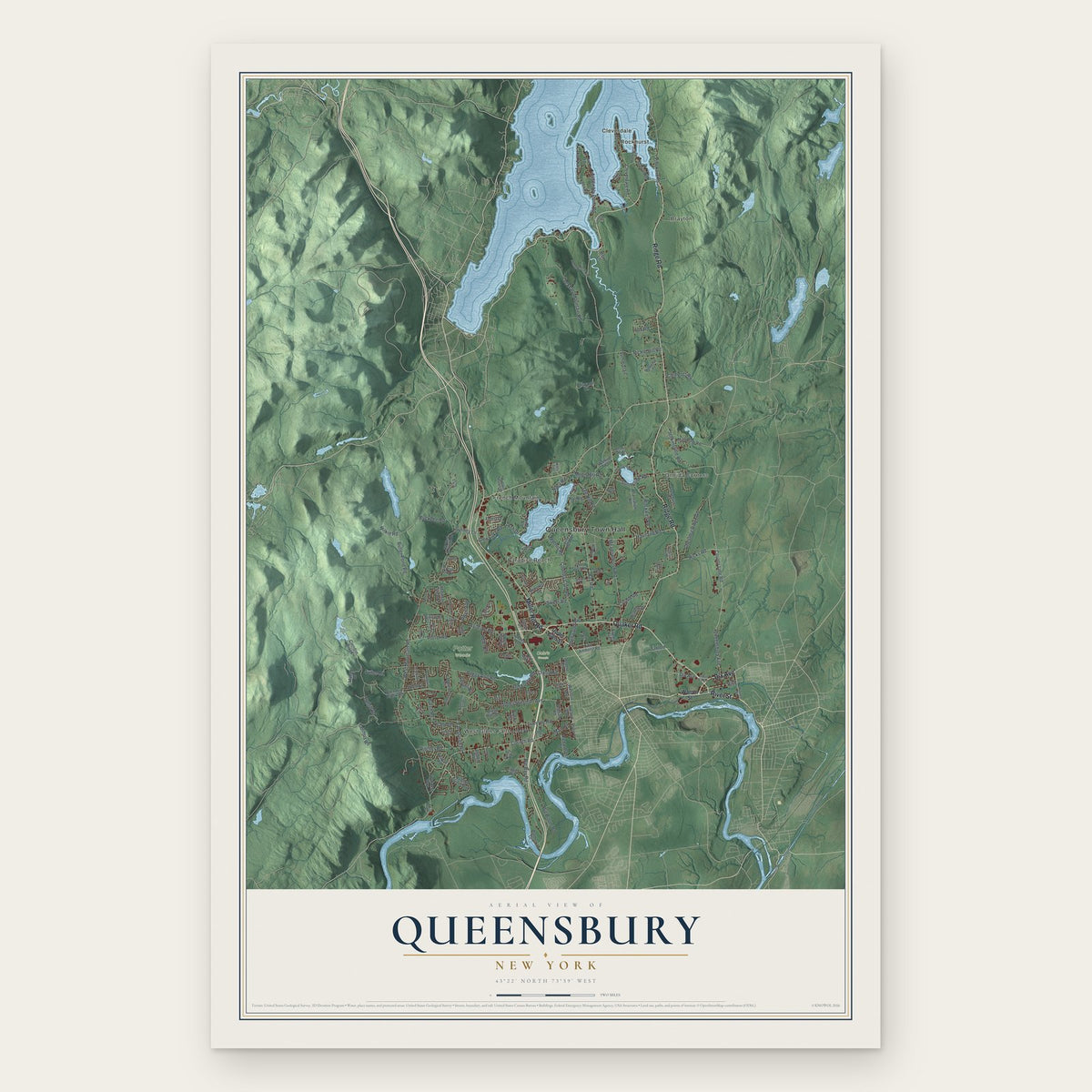
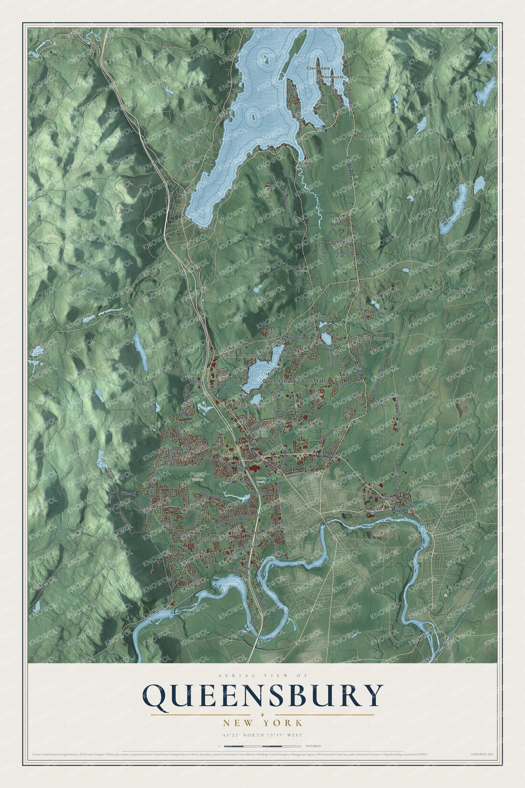
Queensbury, New York Map Art
A new map of Queensbury, New York, made in 2026 and printed to order on thick archival matte paper.
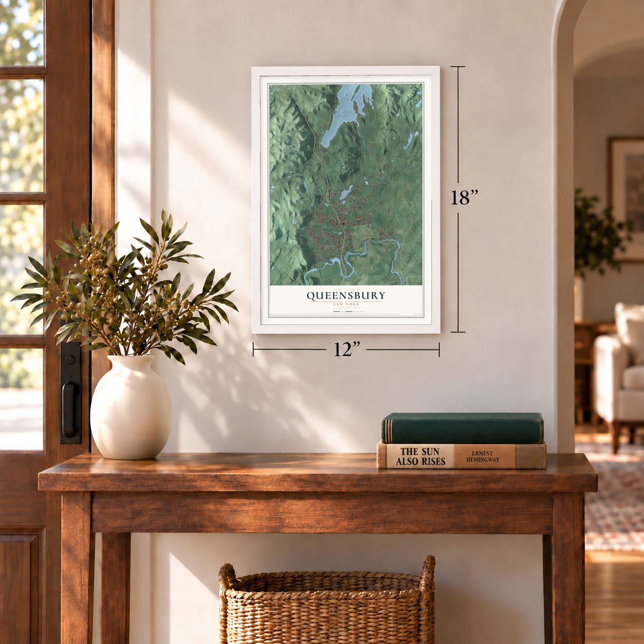
12" x 18" Archival Matte Print
A Map of Home. A Work of Art.
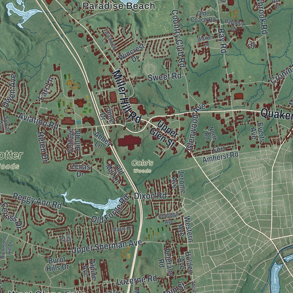
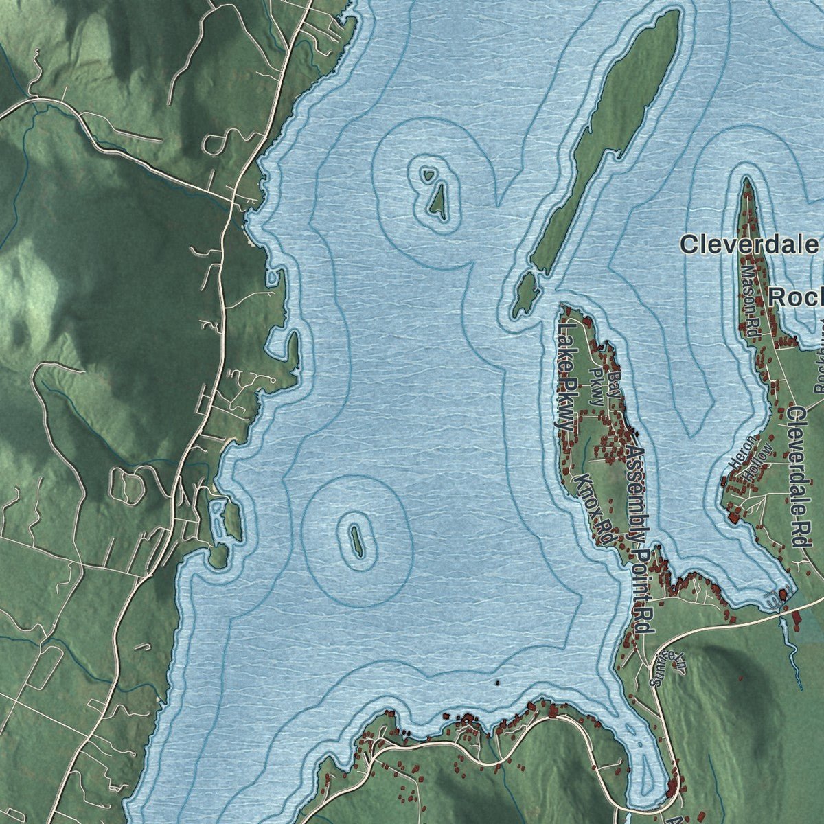
Explore Queensbury, New York from a whole new perspective. Created using aerial imagery and detailed geographic data, this map captures Queensbury building by building, with labeled streets, familiar landmarks, and shaded topographical relief that highlights the natural contours of the landscape.
Combining modern data with the timeless character of a vintage atlas, this map is just as interesting up close as it is beautiful on the wall. Whether you grew up in Queensbury, spent memorable years there, or call it home today, this unique map is a great way to celebrate a place that means something to you. Zoom in on the preview to look for your street, and then order a print to put your memories on the wall.
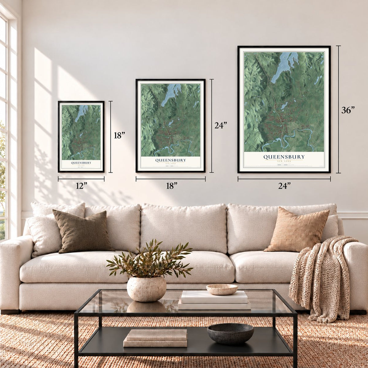
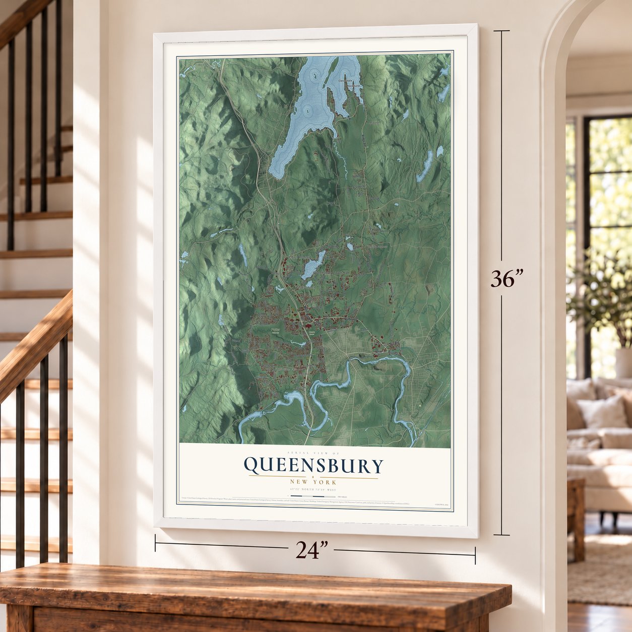
Three ways to hang it
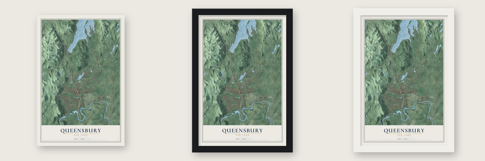
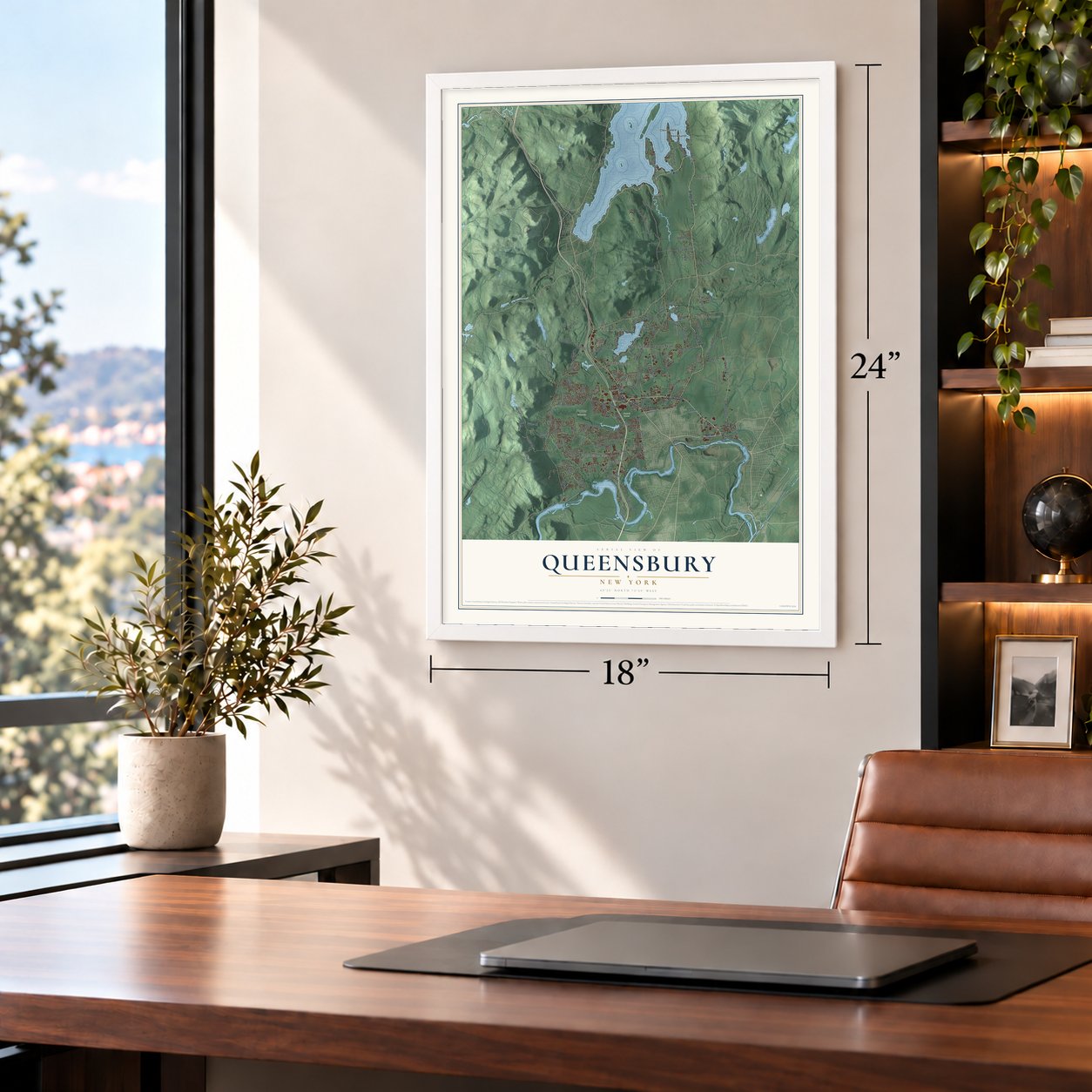
Unframed archival matte, a black wood frame or a white wood frame.
Up close
Geography Worth Displaying
This map was created using accurate cartographic data and authoritative geographic sources, including the U.S. Geological Survey (USGS) and FEMA. The map brings together terrain, waterways, roads, and building detail. The majority of the streets are labeled, houses are accurately depicted, and the topography is derived from government sources. Combining local data with carefully composed color and shading leads to this beautifully detailed Queensbury artwork for your wall.
Rather than simply showing street outlines, we’ve included as many of the street names as we could reasonably fit on the map while keeping their names legible. Zoom in on the high resolution preview to see exactly what’s on the map. We truly set out to create a statement piece for anyone who loves Queensbury. So whether it’s for you, or a gift for someone you love, we hope this map of Queensbury brings back fond memories.
Explore the full map of Queensbury, New York and read about the local places it shows.
About Queensbury, New York
Queensbury is a town of 29,169 people in Warren County, in the southeastern corner of the county at the edge of the Adirondacks. It began with the Queensbury Patent, a land grant the British Crown approved in 1762 to draw settlers to the country near Lake George and the Hudson River, and it carries the name of Queen Charlotte, the wife of King George III. Quaker families answered the call in 1763, clearing farms and building homes.
The Revolutionary War ended that quiet life in 1777. Because they were pacifists, the Quakers left as armies campaigned nearby, and the area stood mostly empty until they came back in 1783. Three years later, in 1786, the settlement was organized again as the town of Queensbury, and by 1788 it covered all of present-day Warren County. It gave up land to form Fairfield, now Lake Luzerne, in 1792 and part of Caldwell, now Lake George, in 1810.
- Glens Falls breaks awayGlens Falls was once the largest village inside Queensbury. It incorporated as a city in 1908 and became a separate municipality, though the town still wraps around it on three sides. Queensbury has had more people than Glens Falls in every census since 1980, and in 2003 the town let the city annex about 49 acres of vacant land, Veterans Field, on Veterans Road east of I-87.
- County seat since 1963Warren County's government moved in 1963 from Lake George, the original county seat, to a municipal complex on U.S. Route 9 in Queensbury, just south of the village of Lake George.
- Opera in a high schoolThe Lake George Opera Festival made its home in Queensbury from 1965 to 1998. Each year it staged three to seven operas in the 875-seat auditorium of Queensbury High School.
- Storytown, U.S.A., 1954The Great Escape amusement park in northwest Queensbury opened in 1954 as Storytown, U.S.A. Today Enchanted Parks runs it, along with a water park and the Great Escape Lodge.
- A spy's rewardThe land along State Route 9L in the north of town, beside Lake George, was granted to Moses Harris, who spied for the American side in the Revolutionary War, as a reward for his service. The hamlet there still carries his name, Harrisena.
Find your street
Names on the Queensbury map
Every name below is printed on this map. Look for your street, your school, the park where you played, or the pond down the road.
Places and landmarks10
- Queensbury Town Hall
- Cole's Woods
- Potter Woods
- Brayton
- Cleverdale
- French Mountain
- Oneida Corners
- Paradise Beach
- Rockhurst
- West Glens Falls
Streets and roads157
- Dix Avenue
- Ridge Road
- Miller Hill Road
- Quaker Road
- River Street
- Boulevard
- Aviation Road
- Bay Road
- Corinth Road
- Main Street
- Van Dusen Road
- Nicole Drive
- West Mountain Road
- Luzerne Road
- County Line Road
- Upper Sherman Avenue
- Queensbury Avenue
- Lockhart Mountain Road
- Glen Lake Road
- Big Bay Road
- Peggy Ann Road
- Meadowbrook Road
- Dixon Road
- Big Boom Road
- Haviland Road
- Gurney Lane
- Cleverdale Road
- Butler Pond Road
- Potter Road
- Chestnut Ridge Road
Show all 157 streets
- Country Club Road
- Pickle Hill Road
- Cronin Road
- Fuller Road
- Jenkinsville Road
- Buckbee Road
- Rockwell Road
- Farr Lane
- Assembly Point Road
- Moon Hill Road
- Sunnyside Road
- Glenwood Avenue
- Pitcher Road
- Hicks Road
- Sweet Road
- Helen Drive
- Mannis Road
- Tuthill Road
- Tee Hill Road
- Lake Parkway
- Old Forge Road
- Clements Road
- Ferriss Drive
- Cormus Road
- Fox Road
- John Street
- Wilkie Road
- Owen Avenue
- Ash Drive
- Burch Road
- Nacy Road
- Upper Glen Street
- Warren Street
- Fort Amherst Road
- Mud Pond Road
- Clendon Brook Road
- Hudson Pointe Boulevard
- Wincrest Drive
- Willow Road
- Ellsworth Lane
- Stonehurst Drive
- Sarah Jen Drive
- Carey Road
- Burnt Hills Drive
- Richardson Street
- Forest Drive
- Pilot Knob Road
- Laurel Lane
- Mountain View Lane
- Eagan Road
- Walkup Road
- Revere Road
- Mahar Drive
- Knox Road
- Plantation Road
- Zenas Drive
- Sunset Trail
- Meadow Drive
- Seelye Road
- Hall Road
- Everts Avenue
- Founders Way
- College Drive
- Lambert Drive
- Veterans Road
- Old Mill Lane
- Clendon Brook
- Western Avenue
- Palmer Drive
- Abbey Lane
- Cottage Hill Road
- Birch Road
- Jerome Avenue
- Sanford Street
- Kiley Lane
- Ogden Road
- Holden Avenue
- Alpine Avenue
- Alexy Lane
- June Drive
- Olde Coach Road
- Rockhurst Road
- Blind Rock Road
- Wildwood Place
- Old West Mountain Road
- Algonquin Drive
- Central Avenue
- Wood Chuck Road
- Bay Parkway
- Pinion Pine Lane
- Mason Road
- Linette Lane
- North Road
- French Mount Drive
- Media Drive
- Sylvan Avenue
- Leo Street
- Berry Drive
- Kozy Trail
- Sunnyside North
- Richmond Hill Drive
- Maple Drive
- Twicwood Lane
- Butternut Hill Drive
- Queens Lane
- Dream Lake Road
- Par Place
- Tomahawk Road
- Crownwood Drive
- Sunrise Lane
- Lyndon Road
- Lehland Drive
- Walker Lane
- Coolidge Avenue
- Bayberry Drive
- Thomas Street
- Michaels Drive
- Reardon Road
- Bennett Road
- Fawn Lane
- Stevens Street
- Marley Way
- Lower Dix Avenue
- Heron Hollow
- Alessia Drive
- Lewis Road
- Jay Road
Names are listed as they appear on the printed map. Zoom into the product photos to find them.
The art of mapping a place
How This Map Was Made
Real places. Remarkable detail. Discover the layers that turn geographic data into a map of home.

The view from above
Aerial imagery reveals the character of the land: woodland, open fields, and the patterns of a place.

The shape of the land
Elevation data brings hills, valleys, and subtle changes in the landscape into view.

The details of home
Roads, waterways, and building footprints come together to make the map feel unmistakably local.

Geography becomes art
Considered color, shading, and typography bring the layers together in a map made for your wall.


Process illustrated with Mendon, Massachusetts. Aerial imagery: USDA NAIP. Terrain: USGS 3D Elevation Program. Map details and finished artwork: KNOWOL.
The Details
About This Print
Choose an archival matte print, or a black or white Ayous wood frame. The archival matte print is unframed.
Select your size and finish above to see the matching product image and price.
Materials & Craftsmanship
A contemporary map with the character of a classic atlas, printed on archival matte paper. Optional frames are made from Ayous wood.
Your printed map does not include the watermark shown in the full-map preview.
Shipping & Delivery
Free shipping within the United States. Every print is made to order in the USA.
Buying a gift? Add a note in your cart and we'll include it. We never put prices in the package.
Prints ship within 2 to 3 business days. Allow 7 to 10 days total from ordering for delivery. Timing may vary during holidays or periods of high order volume.
Read our shipping policy.
Returns and damaged prints
Each print is made to order. Change-of-mind refunds are not available after production.
If your print arrives damaged, misprinted or incorrect, contact support@knowol.com within 30 days of receiving it. Include your order number, photos and a description of the issue.
Read our full refund and replacement policy. For questions about your order, email support@knowol.com.
Find your town
Looking for another city?
Find a map of home in our New York collection, or any town in the country.
Nearby
Maps of towns near Queensbury
Know someone from one of these towns? Their map makes a great gift.
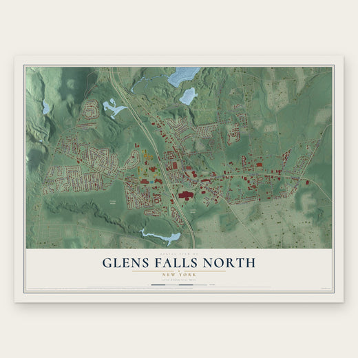 Glens Falls North
, New York
From $39.99See the map
 Glens Falls
, New York
From $39.99See the map
 Village of Lake George
, New York
From $39.99See the map
More maps nearby: West Glens Falls, Town of Lake George, South Glens Falls, Hudson Falls and Kingsbury.