
Search for another town
Free U.S. delivery 7 to 10 days after you order
Radnor, Pennsylvania Map Art
Building by building, with labeled streets and shaded relief.
12" x 18" Archival Matte Print
A Map of Home. A Work of Art.
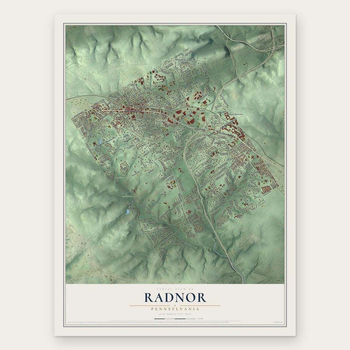
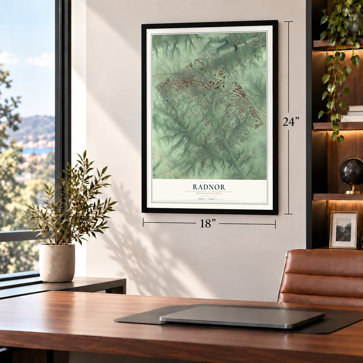
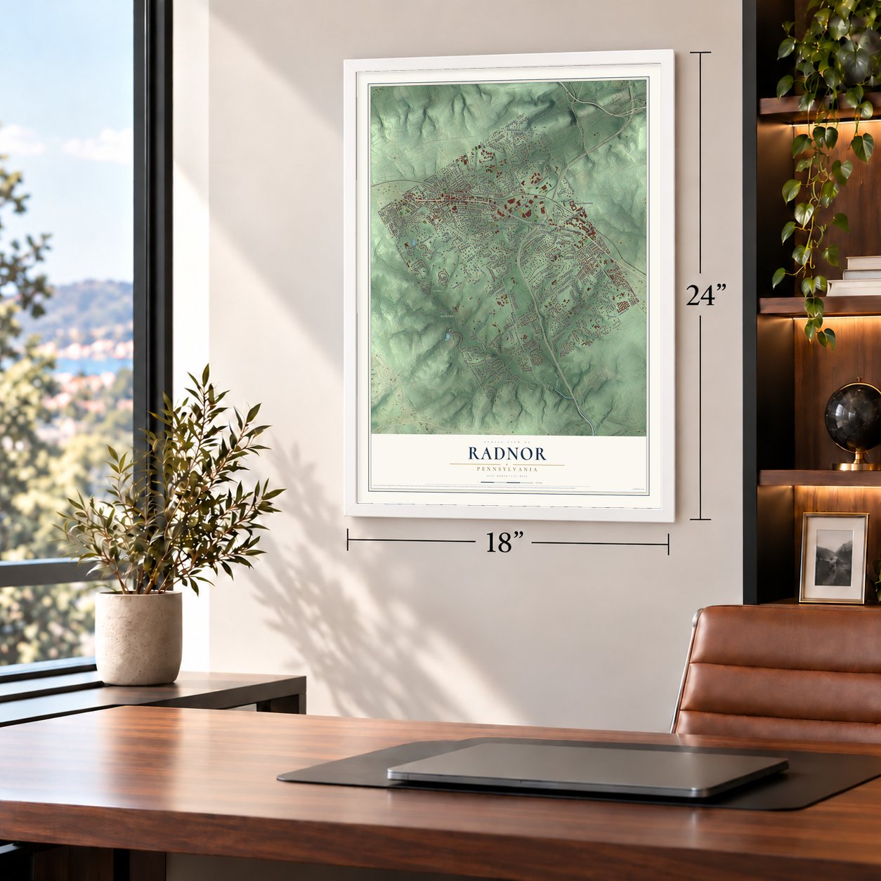
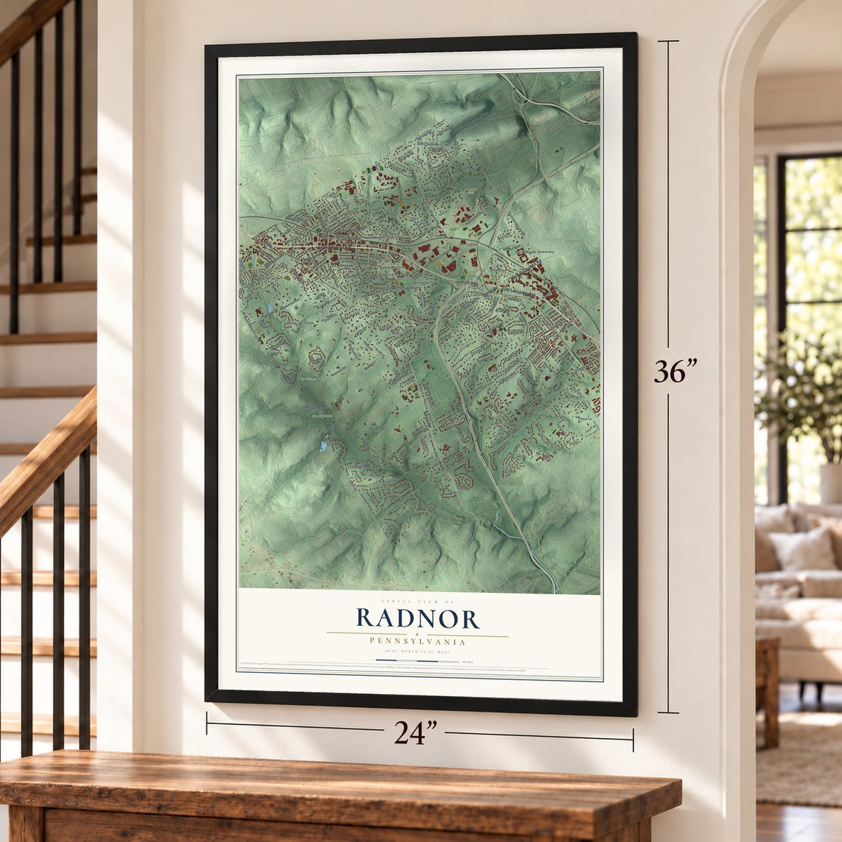
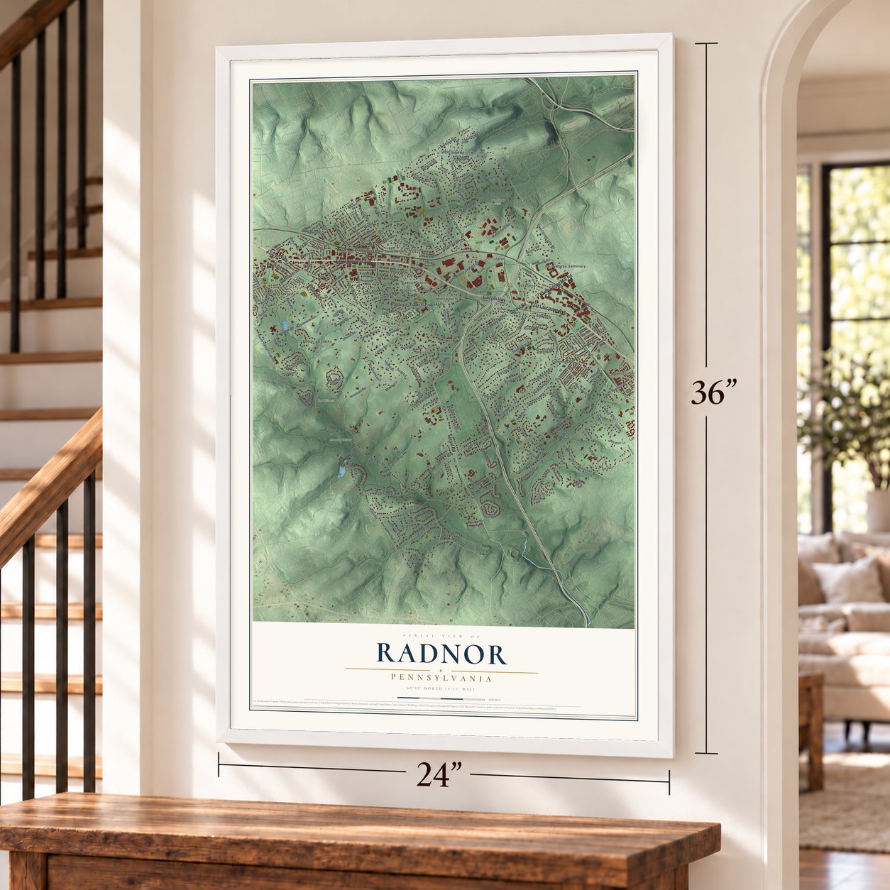
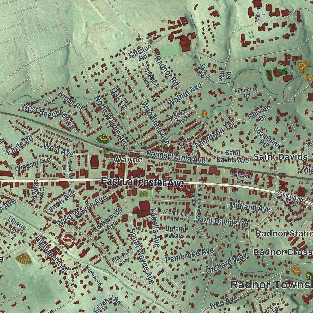
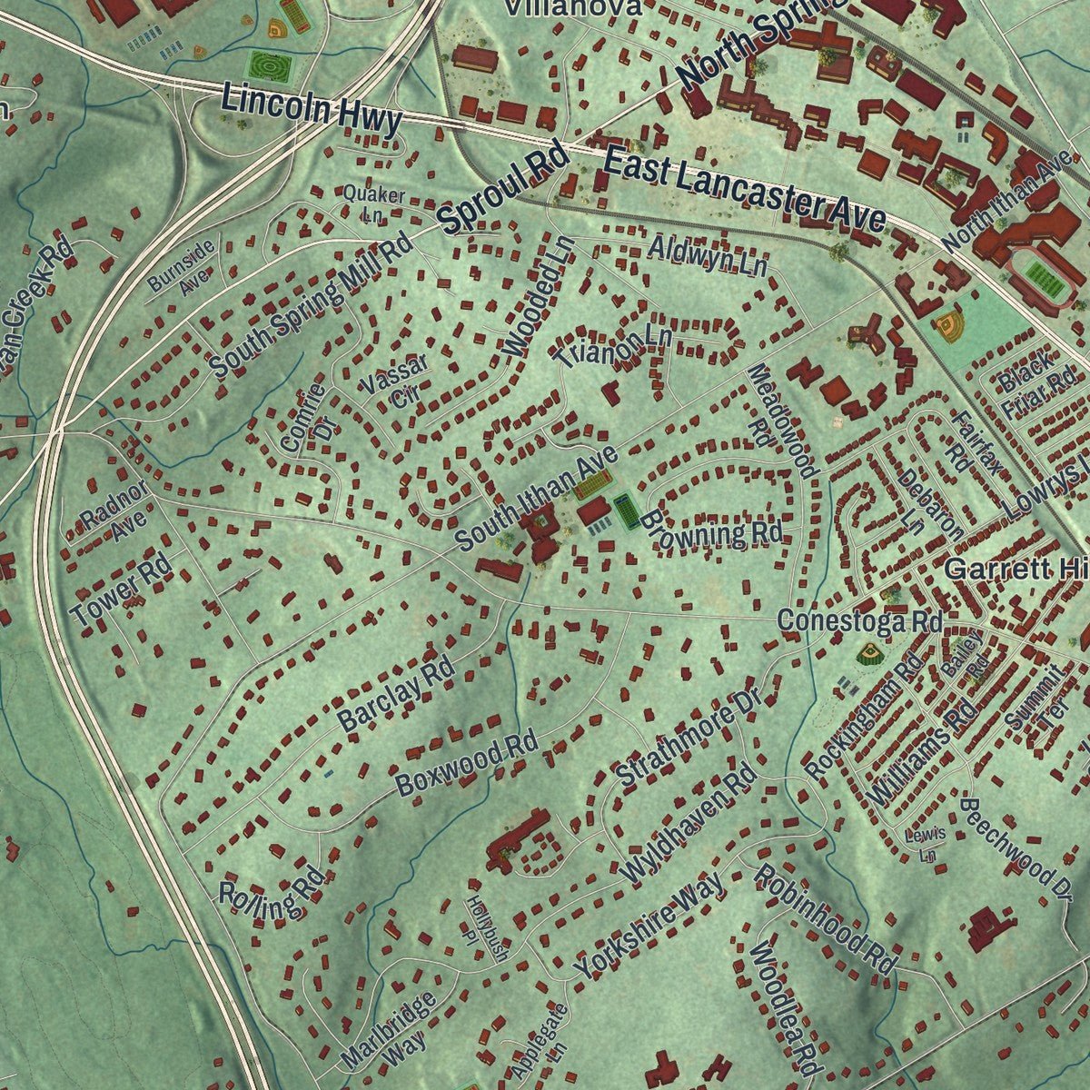
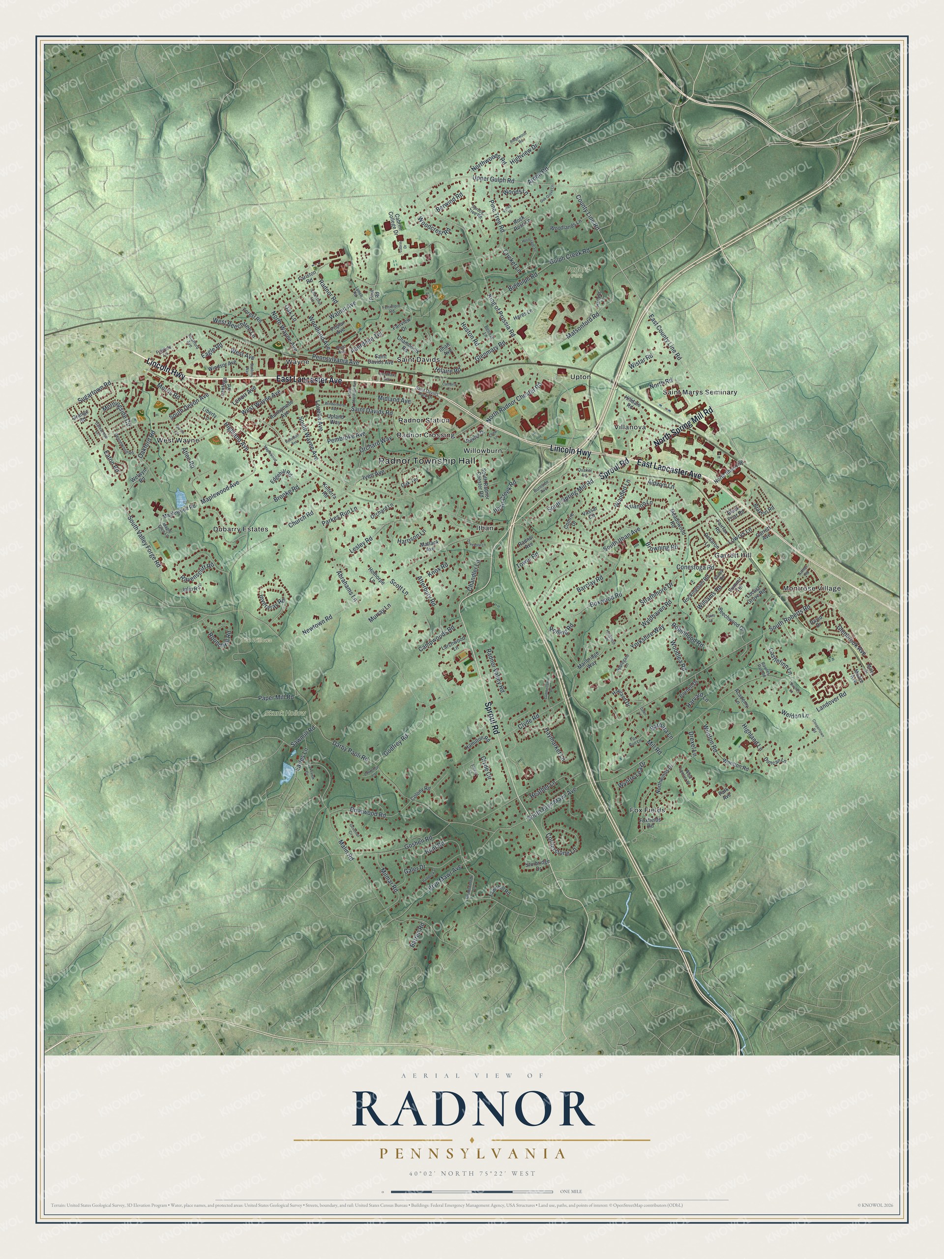
Explore Radnor, Pennsylvania from a whole new perspective. Created using aerial imagery and detailed geographic data, this map captures Radnor building by building, with labeled streets, familiar landmarks, and shaded topographical relief that highlights the natural contours of the landscape.
Combining modern data with the timeless character of a vintage atlas, this map is just as interesting up close as it is beautiful on the wall. Whether you grew up in Radnor, spent memorable years there, or call it home today, this unique map is a great way to celebrate a place that means something to you. Zoom in on the preview to look for your street, and then order a print to put your memories on the wall.
Three ways to hang it
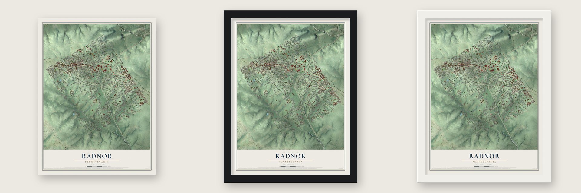
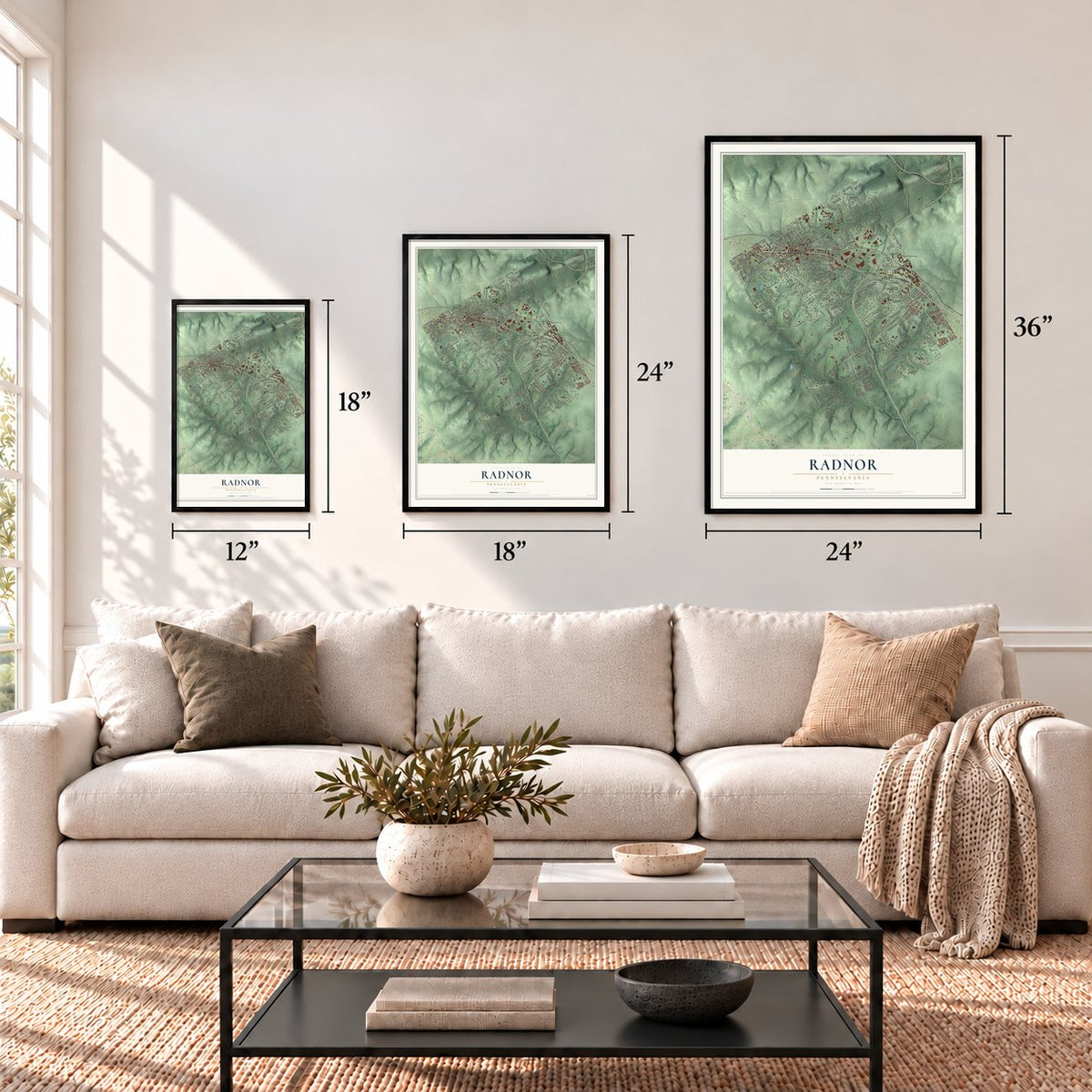
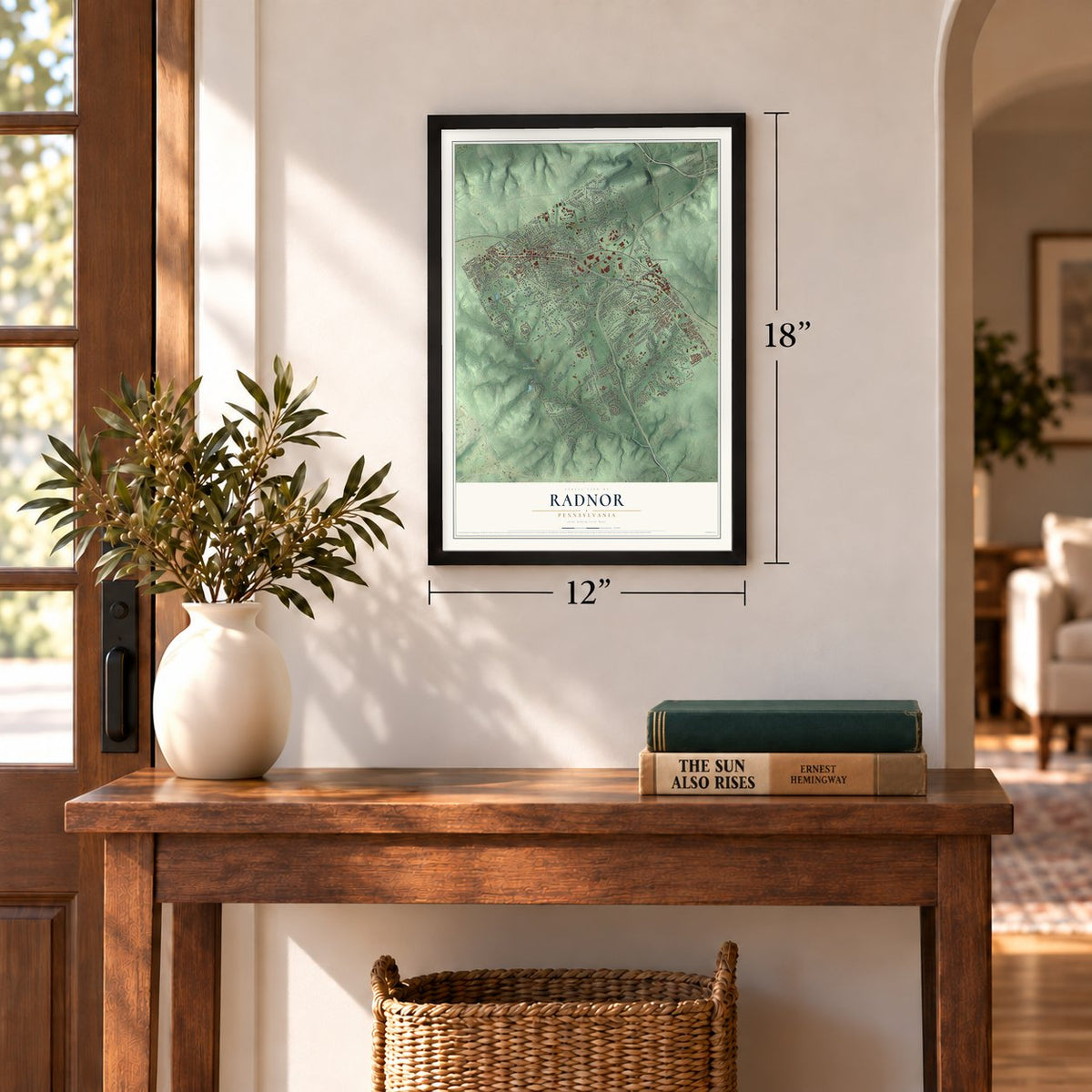
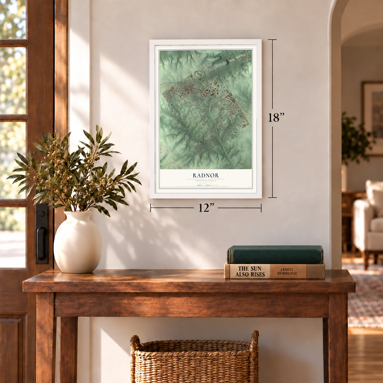
Unframed archival matte, a black wood frame or a white wood frame.
Up close
Geography Worth Displaying
This map was created using accurate cartographic data and authoritative geographic sources, including the U.S. Geological Survey and the Census Bureau. The map brings together terrain, waterways, roads, and building detail. The majority of the streets are labeled, houses are accurately depicted, and the topography is derived from government sources. Combining local data with carefully composed color and shading leads to this beautifully detailed Radnor artwork for your wall.
Rather than simply showing street outlines, we’ve included as many of the street names as we could reasonably fit on the map while keeping their names legible. Zoom in on the high resolution preview to see exactly what’s on the map. We truly set out to create a statement piece for anyone who loves Radnor. So whether it’s for you, or a gift for someone you love, we hope this map of Radnor brings back fond memories.
Read the story behind this map of Radnor, Pennsylvania from 2026.
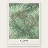
Find your street
Names on the Radnor map
Every name below is printed on this map. Look for your street, your school, the park where you played, or the pond down the road.
Places and landmarks18
- Radnor Township Hall
- Harford Park
- Skunk Hollow
- The Willows
- Dubarry Estates
- Fox Fields
- Garrett Hill
- Ithan
- Montrose Village
- Radnor Crossing
- Radnor Station
- Saint Davids
Show all 18 places
- Saint Marys Seminary
- Upton
- Villanova
- Wayne
- West Wayne
- Willowburn
Streets and roads230
- East Lancaster Avenue
- Lincoln Highway
- North Spring Mill Road
- Sproul Road
- East County Line Road
- King of Prussia Road
- County Line Road
- Upper Gulph Road
- Landover Road
- Abrahams Lane
- Matsonford Road
- South Valley Forge Road
- Clyde Road
- North Wayne Avenue
- Glenmary Road
- Iven Avenue
- Conestoga Road
- South Bryn Mawr Avenue
- Darby Paoli Road
- South Ithan Avenue
- Eagle Road
- South Roberts Road
- Malin Road
- Newtown Road
- West Wayne Avenue
- Brooke Road
- Maplewood Avenue
- Mill Road
- Godfrey Road
- Hunt Road
Show all 230 streets
- Cornerstone Lane
- Bryn Mawr Avenue
- South Devon Avenue
- Wyldhaven Road
- Highland Lane
- Gulph Creek Road
- Church Road
- Parkes Run Lane
- Yorkshire Way
- Pembroke Avenue
- Pine Tree Road
- Ravenscliff Road
- Goshen Road
- North Road
- Boxwood Road
- Sugartown Road
- Lowrys Lane
- Louella Avenue
- Inveraray Road
- Midland Avenue
- Radnor Road
- West Avenue
- Barclay Road
- Walnut Avenue
- Saint Davids Road
- South Wayne Avenue
- Briarwood Road
- North Radnor Chester Road
- Aldwyn Lane
- South Spring Mill Road
- Orchard Way
- Strathmore Drive
- West Beechtree Lane
- Woods Lane
- Round Hill Road
- Browning Road
- Wooton Road
- Biddulph Road
- Eaton Road
- Morningside Circle
- Woodland Avenue
- Harrison Lane
- Haymarket Lane
- Milmar Road
- Weldon Lane
- Robinhood Road
- Morris Road
- Northwoods Road
- Trianon Lane
- Pennsylvania Avenue
- Ithan Creek Road
- Oakford Road
- Atlee Road
- Lesley Road
- Galer Drive
- Heather Lane
- Huston Road
- Glenbrook Avenue
- Woodlea Road
- Chandler Lane
- Castlefinn Lane
- Wooded Lane
- Sawmill Road
- Campwoods Road
- Wistar Road
- Clyde Circle
- Williams Road
- Radnor Valley Road
- Paper Mill Road
- Atterbury Road
- Woodcrest Road
- Berwind Road
- Earles Lane
- Aberdeen Terrace
- Wyntre Lea Drive
- Highland Avenue
- Rolling Road
- Hilaire Road
- Arden Road
- Highview Drive
- Oak Lane
- Scott Lane
- Harvard Lane
- Knox Road
- Cricket Lane
- Drexel Lane
- Tower Road
- Lenoir Avenue
- Barbara Lane
- Barren Road
- Murray Lane
- Chamounix Road
- Fairview Drive
- Welwyn Road
- Paul Road
- Maplewood Road
- Saint Davids Avenue
- South Radnor Chester Road
- Hares Lane
- Wootton Road
- Poplar Avenue
- Hilldale Road
- Meadowood Road
- Haviland Drive
- Garrett Avenue
- Northwinds Drive
- Beechwood Drive
- Windsor Avenue
- Rockingham Road
- Colony Road
- Forest Road
- Woodlands Lane
- Fariston Road
- Edgehill Road
- North Ithan Avenue
- Fairfax Road
- Upland Way
- Marlbridge Way
- Radnor Avenue
- Grange Road
- Hamilton Road
- Runnymede Avenue
- David Drive
- Braxton Road
- Debaron Lane
- Larchwood Lane
- Rock Rose Lane
- Cornell Drive
- Julip Run
- Duncan Lane
- Sinkler Drive
- Cabrini College Drive
- Fawnhill Road
- Liberty Lane
- Orchard Lane
- Foxfields Road
- Locust Grove Road
- Academy Lane
- Sturbridge Drive
- Hothorpe Lane
- Matlack Avenue
- Moore Avenue
- Lantoga Road
- Summit Terrace
- Black Friar Road
- Oak Terrace
- Comrie Drive
- Kinterra Road
- Park Avenue
- Vassar Circle
- Ithan Avenue
- Fairfield Lane
- Belrose Lane
- Saint Davids Park Drive
- Spruce Tree Road
- Devonwood Road
- Strafford Avenue
- Bailey Road
- Plant Avenue
- Applegate Lane
- Calvarese Lane
- Chestnut Lane
- Quaker Lane
- Harford Lane
- West Laurier Place
- Rawles Run Road
- Maple Glen Lane
- Fenimore Road
- Burnside Avenue
- Miller Street
- Fox Run Lane
- Lynch Road
- Arthur Road
- South Aberdeen Avenue
- Meadowbrook Lane
- Windermere Avenue
- Birches Lane
- Hermitage Lane
- Lewis Lane
- Donna Lane
- Stewart Lane
- Coopertown Road
- Audubon Avenue
- Ridgewood Road
- Cambria Court
- Maplewood
- Oak Grove Lane
- Cabrini Drive
- Dovecote Lane
- Banbury Way
- Cumberland Place
- Lawrence Lane
- Paddock Drive
- Iron Works Way
- Lakeview Circle
- Governor Circle
- Hollybush Place
- Chew Lane
- Valley Place
- Dawn Lane
Names are listed as they appear on the printed map. Zoom into the product photos to find them.
About Radnor, Pennsylvania
Radnor is a township of 33,228 people in Delaware County, on Philadelphia's Main Line. Welsh Quakers from Radnorshire settled the land in 1683 and named it after the county they had left behind in Wales. By 1686 the community had grown up around the Radnor Friends Meetinghouse on Conestoga Road. During the Revolutionary War, General George Washington's Continental Army used that meetinghouse as an outpost.
The Pennsylvania Railroad built its Main Line through in 1872 and opened a station at King of Prussia Road, about a mile south of the meetinghouse. Even so, the land around the meetinghouse stayed mostly farms until well after World War II. That changed in the 1980s, when new homes and office parks spread near the station. Firms such as Lincoln National moved their headquarters there from Center City.
- Wayne's 1895 swimming poolThe Wayne Natatorium opened in 1895 and was one of the largest open-air, in-ground pools in the country, at 500 by 100 feet. Springs fed its water, and it was home to National Swimming Association championships. Women were allowed to swim there but not to race. Droughts and changing tastes in recreation closed it in 1903.
- The fight over the Blue RouteIn the 1970s, highway planners drew the Blue Route expressway just east of the Radnor Friends Meetinghouse. Residents pushed back hard, because they feared the noise would ruin a quiet, rural place. They lost the fight, and the highway opened in the 1990s along the route first planned.
- The real Rydell HighRydell High, the school in Grease, was based on Radnor High School, where the film's director, Randal Kleiser, finished with the Class of 1964. The script of Philip Barry's play The Philadelphia Story names Radnor as the place where it happens, and Judy Blume chose Radnor as the setting for her novel Blubber.
Keep exploring Pennsylvania
Radnor is one of 3,725 Pennsylvania towns we've mapped. Every dot on the map is a print of its own.
The search covers every state, Pennsylvania first.
Near Radnor
Order 2 or more town maps and save 10%. Shown in the size and finish you picked above, so they hang as a set.
- Ithan 12" x 18" / Archival Matte Print $39.99
- St. Davids 12" x 18" / Archival Matte Print $39.99
- Villanova 12" x 18" / Archival Matte Print $39.99
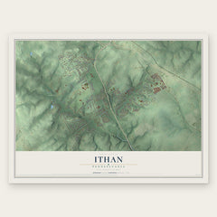
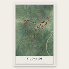
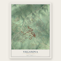
More maps nearby: Rosemont, Newtown, Bryn Mawr, Devon and Haverford College.
The art of mapping a place
How This Map Was Made
Real places. Remarkable detail. Discover the layers that turn geographic data into a map of home.

The view from above
Aerial imagery reveals the character of the land: woodland, open fields, and the patterns of a place.

The shape of the land
Elevation data brings hills, valleys, and subtle changes in the landscape into view.

The details of home
Roads, waterways, and building footprints come together to make the map feel unmistakably local.

Geography becomes art
Considered color, shading, and typography bring the layers together in a map made for your wall.


Process illustrated with Mendon, Massachusetts. Aerial imagery: USDA NAIP. Terrain: USGS 3D Elevation Program. Map details and finished artwork: KNOWOL.
The Details
About This Print
Choose an archival matte print, or a black or white Ayous wood frame. The archival matte print is unframed.
Select your size and finish above to see the matching product image and price.
Materials & Craftsmanship
A contemporary map with the character of a classic atlas, printed on archival matte paper. Optional frames are made from Ayous wood.
Your printed map does not include the watermark shown in the full-map preview.
Shipping & Delivery
Free shipping within the United States. Every print is made to order in the USA.
Buying a gift? Add a note in your cart and we'll include it. We never put prices in the package.
Prints ship within 2 to 3 business days. Allow 7 to 10 days total from ordering for delivery. Timing may vary during holidays or periods of high order volume.
Read our shipping policy.
Returns and damaged prints
Each print is made to order. Change-of-mind refunds are not available after production.
If your print arrives damaged, misprinted or incorrect, contact support@knowol.com within 30 days of receiving it. Include your order number, photos and a description of the issue.
Read our full refund and replacement policy. For questions about your order, email support@knowol.com.