
Search for another town





Free U.S. delivery 7 to 10 days after you order
Raymond, Washington Map Art
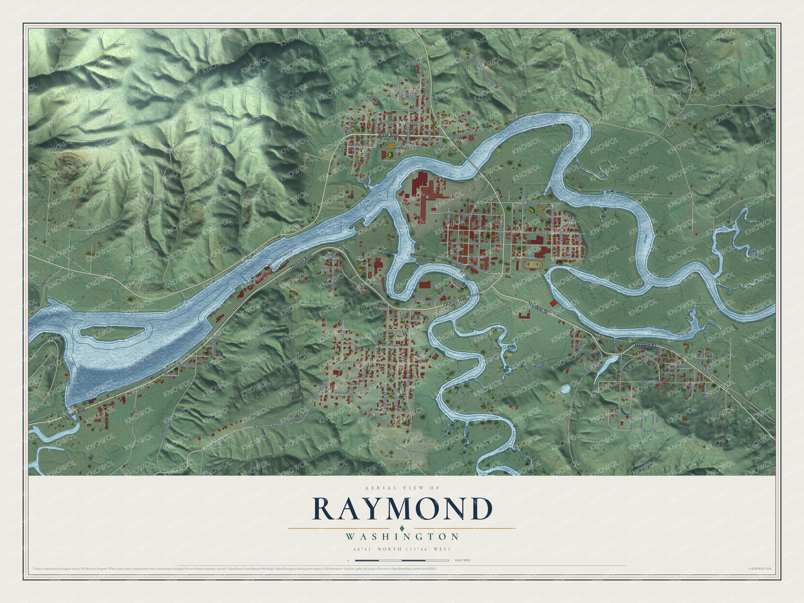
A new map of Raymond, Washington, made in 2026 and printed to order on thick archival matte paper.
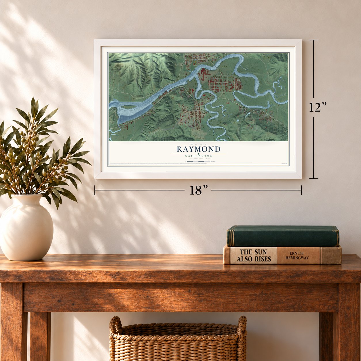
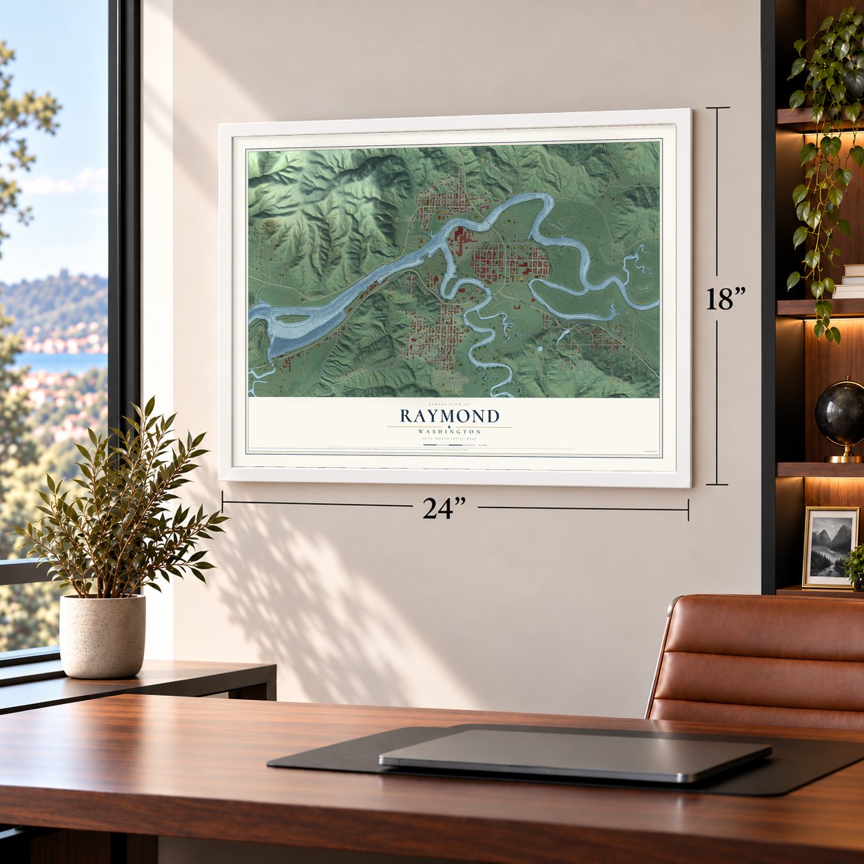
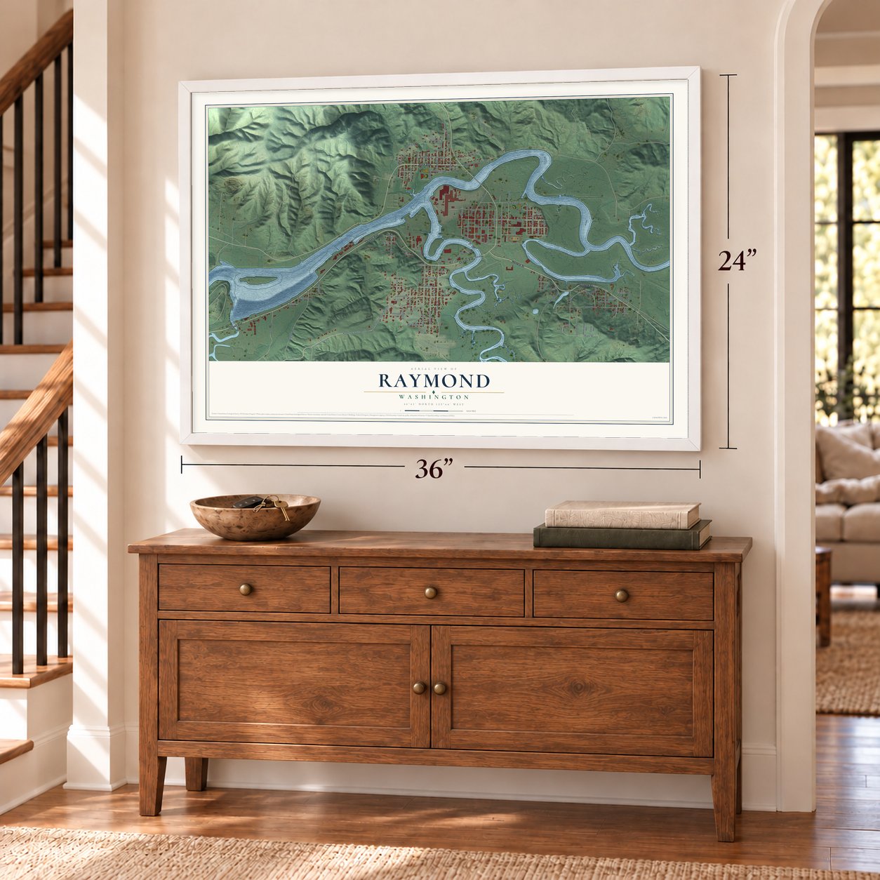
12" x 18" Archival Matte Print
A Map of Home. A Work of Art.
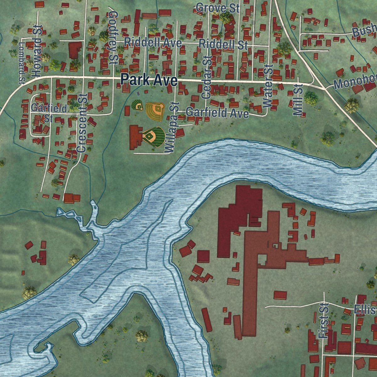
Explore Raymond, Washington from a whole new perspective. Created using aerial imagery and detailed geographic data, this map captures Raymond building by building, with labeled streets, familiar landmarks, and shaded topographical relief that highlights the natural contours of the landscape.
Combining modern data with the timeless character of a vintage atlas, this map is just as interesting up close as it is beautiful on the wall. Whether you grew up in Raymond, spent memorable years there, or call it home today, this unique map is a great way to celebrate a place that means something to you. Zoom in on the preview to look for your street, and then order a print to put your memories on the wall.
Three ways to hang it
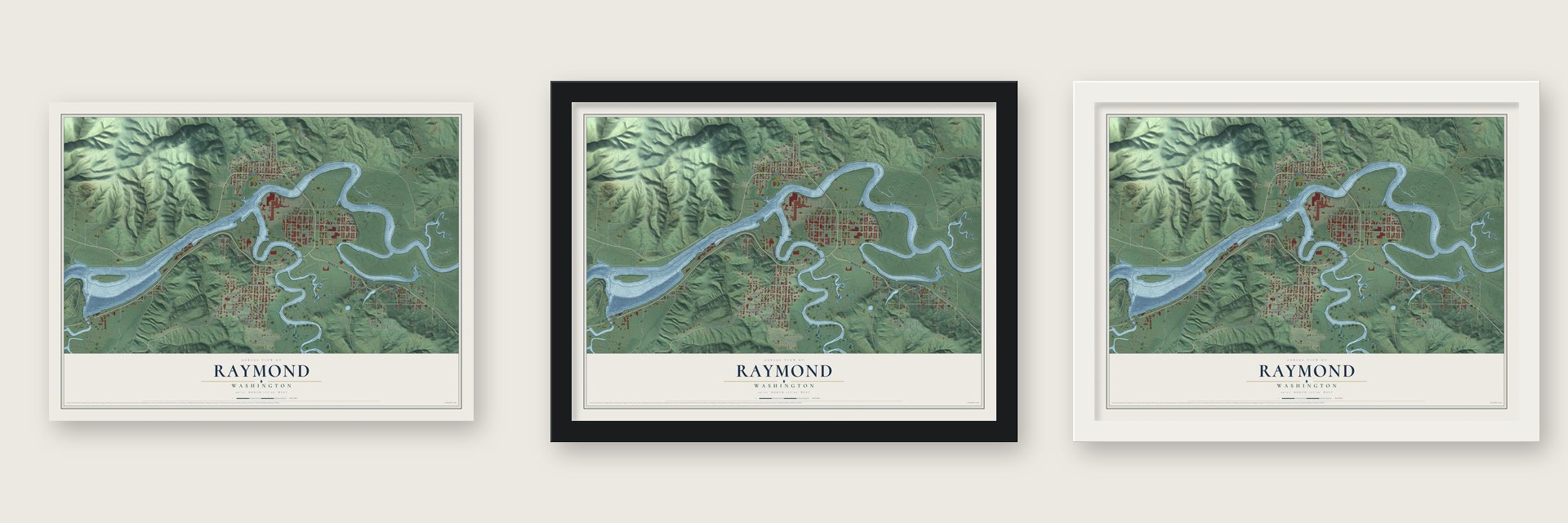
Unframed archival matte, a black wood frame or a white wood frame.
Up close
Geography Worth Displaying
This map was created using accurate cartographic data and authoritative geographic sources, including the U.S. Geological Survey and the Census Bureau. The map brings together terrain, waterways, roads, and building detail. The majority of the streets are labeled, houses are accurately depicted, and the topography is derived from government sources. Combining local data with carefully composed color and shading leads to this beautifully detailed Raymond artwork for your wall.
Rather than simply showing street outlines, we’ve included as many of the street names as we could reasonably fit on the map while keeping their names legible. Zoom in on the high resolution preview to see exactly what’s on the map. We truly set out to create a statement piece for anyone who loves Raymond. So whether it’s for you, or a gift for someone you love, we hope this map of Raymond brings back fond memories.
Read the story behind this map of Raymond, Washington from 2026.
About Raymond, Washington
Raymond is a city of 3,081 people in Pacific County, where the South Fork joins the Willapa River. In 1889 talk of a Northern Pacific Railway terminus at South Bend, just downstream, set off a land boom, and the national panic of 1893 ended it. Upriver at the junction, homesteaders and people who had bought cheap land after the bust organized the Raymond Land and Development Company in 1903.
L. V. and Stella Raymond brought 310 acres of farmland on the Island into the company, and the new town took their name. Partner A. C. Little, a former mayor of Aberdeen, urged the company to give mills free lots on the riverfront. That same year Jacob Siler and Winfield Cram started the first mill. The town plat was filed on April 16, 1904, Raymond was incorporated on August 6, 1907, and by 1913 it claimed 6,000 people.
“Imagine streets like long bridges built on piles driven into the slough (pronounced slu).”
- A town built on stiltsTidal sloughs crossed the townsite and rose and fell twice a day, but building on the steep hills would have put the mills too far from the river. Engineer Harry C. Heermans helped solve the problem. The business section stood five or six feet above the tideflats, and the town laid 2,900 feet of raised wooden sidewalks along both sides of what became 1st Street.
- Named for its first postmasterL. V. Raymond and his wife Stella moved to her late father's farm on the Island in 1899. He became the town's first postmaster and first Northern Pacific agent, and he built its water system. The couple gave land and work toward a playfield and the fire department, and money they left created the Raymond Foundation in 1962 to pay for scholarships and local projects.
- The Dennis Company, 1907In 1907 Stewart L. Dennis and Perry W. Shepard started a transfer company in Raymond. It grew into the Dennis Company, a major retail business across Pacific County. The same year John W. Dickie and his son David arrived from the San Francisco Bay area to open a boatyard on the river.
- A theater and a libraryThe Raymond Theatre was built in 1928 and joined the National Register in 1991. A year after the theater opened, the city built the Raymond Public Library in 1929, and it was listed on the National Register in 1979.
- Nirvana's first showThe grunge band Nirvana played its very first gig in Raymond on March 7, 1987.
Find your street
Names on the Raymond map
Every name below is printed on this map. Look for your street, your school, the park where you played, or the pond down the road.
Streets and roads99
- Park Avenue
- Ocean Avenue
- Henkle Street
- Raymond South Bend Road
- Old Raymond South Bend Road
- Fir Street
- Harvard Street
- Gerber Street
- Fowler Street
- Gordon Road
- Elm Street
- Bradford Street
- Howard Street
- State Street
- Pacific Street
- Heath Street
- Alder Street
- Eleventh Street
- Duryea Street
- Commercial Street
- Barnhart Street
- Ballentine Street
- Blake Street
- Jackson Street
- Third Street
- Shahour Road
- Ellis Street
- Larch Street
- Crescent Street
- Willapa Street
Show all 99 streets
- Taft Avenue
- Riddell Avenue
- Peters Street
- Franklin Street
- Eighth Street
- Seventh Street
- Riddell Street
- Fifth Street
- Anderson Lane
- Bird Avenue
- McKinley Street
- Garfield Avenue
- Seeley Street
- Fourth Street
- Monohon Landing Road
- Second Street
- Washington Cemetary Road
- Michigan Avenue
- Bloomhardt Road
- First Street
- Summit Avenue
- Twelfth Street
- Division Avenue
- Water Street
- Godfrey Street
- Bush Avenue
- Cedar Street
- Georgian Avenue
- Prospect Street
- Olive Street
- Sixth Street
- May Street
- Cherry Street
- Mill Street
- 14th Street
- 13th Street
- Grove Street
- Lincoln Avenue
- Dearborn Street
- Garden Street
- Kelsey Street
- Ninth Street
- Stuart Street
- Limit Street
- Lake Avenue
- Berry Street
- Garfield Street
- Washington Avenue
- Wabash Avenue
- Mueller Street
- Sherman Avenue
- Willapa Place Way
- Harrison Avenue
- Homestead Avenue
- Wilder Street
- Grand Avenue
- Welsh Street
- Elwood Street
- Tower Avenue
- Abby Road
- Front Street
- Lombard Street
- Adams Street
- Williams Street
- Laurel Avenue
- Pacific Avenue
- Old Southbend-Raymond Road
- Jackson Lane
- South Third
Names are listed as they appear on the printed map. Zoom into the product photos to find them.
The art of mapping a place
How This Map Was Made
Real places. Remarkable detail. Discover the layers that turn geographic data into a map of home.

The view from above
Aerial imagery reveals the character of the land: woodland, open fields, and the patterns of a place.

The shape of the land
Elevation data brings hills, valleys, and subtle changes in the landscape into view.

The details of home
Roads, waterways, and building footprints come together to make the map feel unmistakably local.

Geography becomes art
Considered color, shading, and typography bring the layers together in a map made for your wall.


Process illustrated with Mendon, Massachusetts. Aerial imagery: USDA NAIP. Terrain: USGS 3D Elevation Program. Map details and finished artwork: KNOWOL.
The Details
About This Print
Choose an archival matte print, or a black or white Ayous wood frame. The archival matte print is unframed.
Select your size and finish above to see the matching product image and price.
Materials & Craftsmanship
A contemporary map with the character of a classic atlas, printed on archival matte paper. Optional frames are made from Ayous wood.
Your printed map does not include the watermark shown in the full-map preview.
Shipping & Delivery
Free shipping within the United States. Every print is made to order in the USA.
Buying a gift? Add a note in your cart and we'll include it. We never put prices in the package.
Prints ship within 2 to 3 business days. Allow 7 to 10 days total from ordering for delivery. Timing may vary during holidays or periods of high order volume.
Read our shipping policy.
Returns and damaged prints
Each print is made to order. Change-of-mind refunds are not available after production.
If your print arrives damaged, misprinted or incorrect, contact support@knowol.com within 30 days of receiving it. Include your order number, photos and a description of the issue.
Read our full refund and replacement policy. For questions about your order, email support@knowol.com.
Find your town
Looking for another city?
Find a map of home in our Washington collection, or any town in the country.
Nearby
Maps of towns near Raymond
Know someone from one of these towns? Their map makes a great gift.
 South Bend
, Washington
From $39.99See the map
 Willapa
, Washington
From $39.99See the map
 Bay Center
, Washington
From $39.99See the map
More maps nearby: Tokeland, Lebam, Cosmopolis, Ocean Park and Ocosta.