
Search for another town



Free U.S. delivery 7 to 10 days after you order
Rehoboth, Massachusetts Map Art
Building by building, with labeled streets and shaded relief.
12" x 18" Archival Matte Print
A Map of Home. A Work of Art.
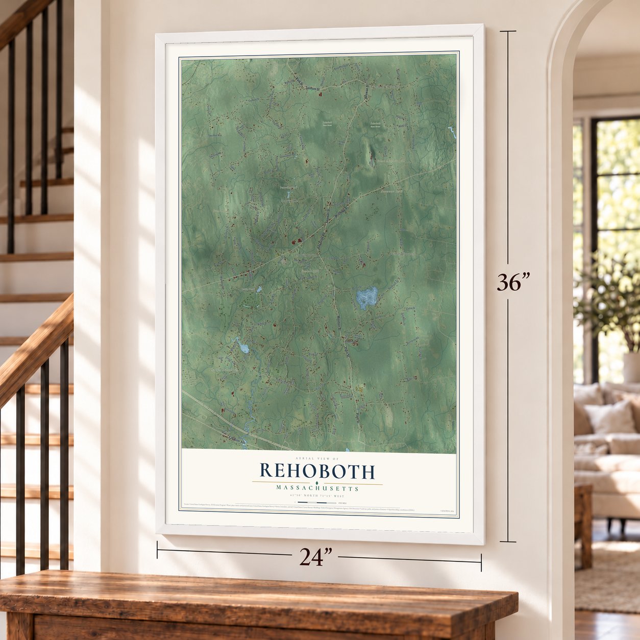
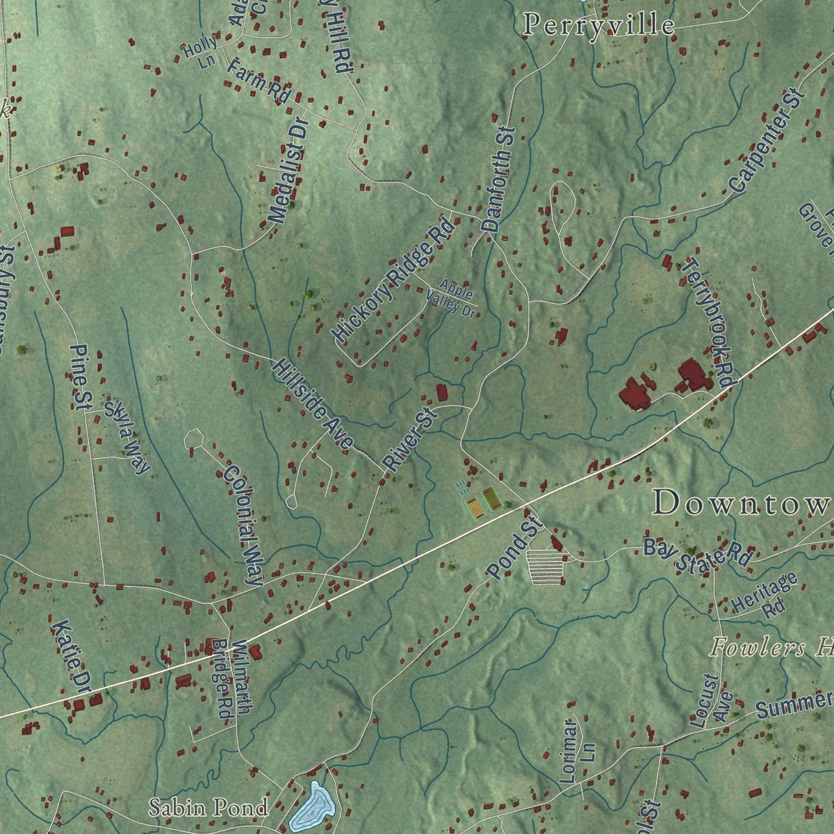
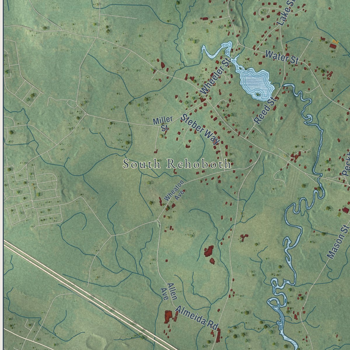
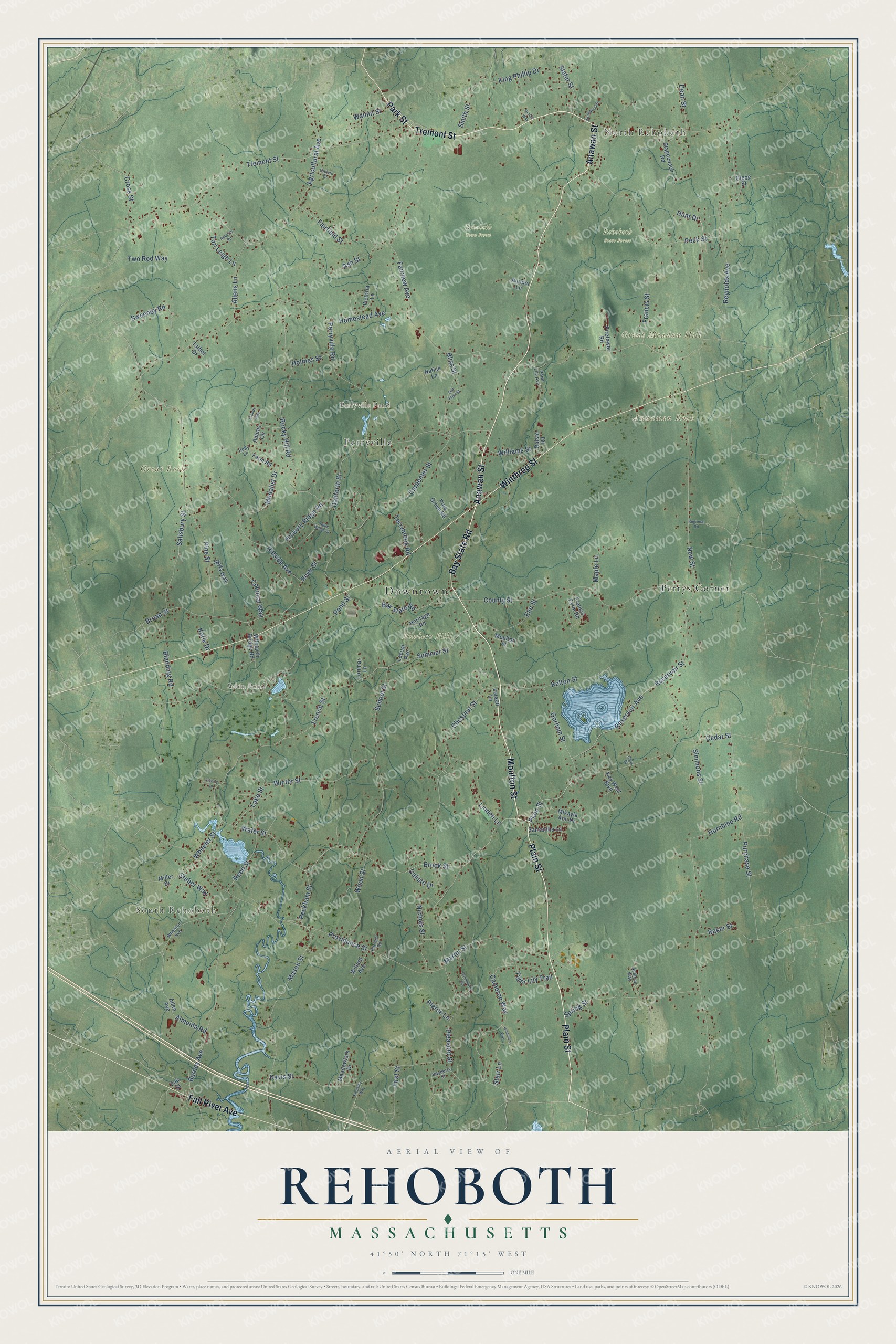
Explore Rehoboth, Massachusetts from a whole new perspective. Created using aerial imagery and detailed geographic data, this map captures Rehoboth building by building, with labeled streets, familiar landmarks, and shaded topographical relief that highlights the natural contours of the landscape.
Combining modern data with the timeless character of a vintage atlas, this map is just as interesting up close as it is beautiful on the wall. Whether you grew up in Rehoboth, spent memorable years there, or call it home today, this unique map is a great way to celebrate a place that means something to you. Zoom in on the preview to look for your street, and then order a print to put your memories on the wall.
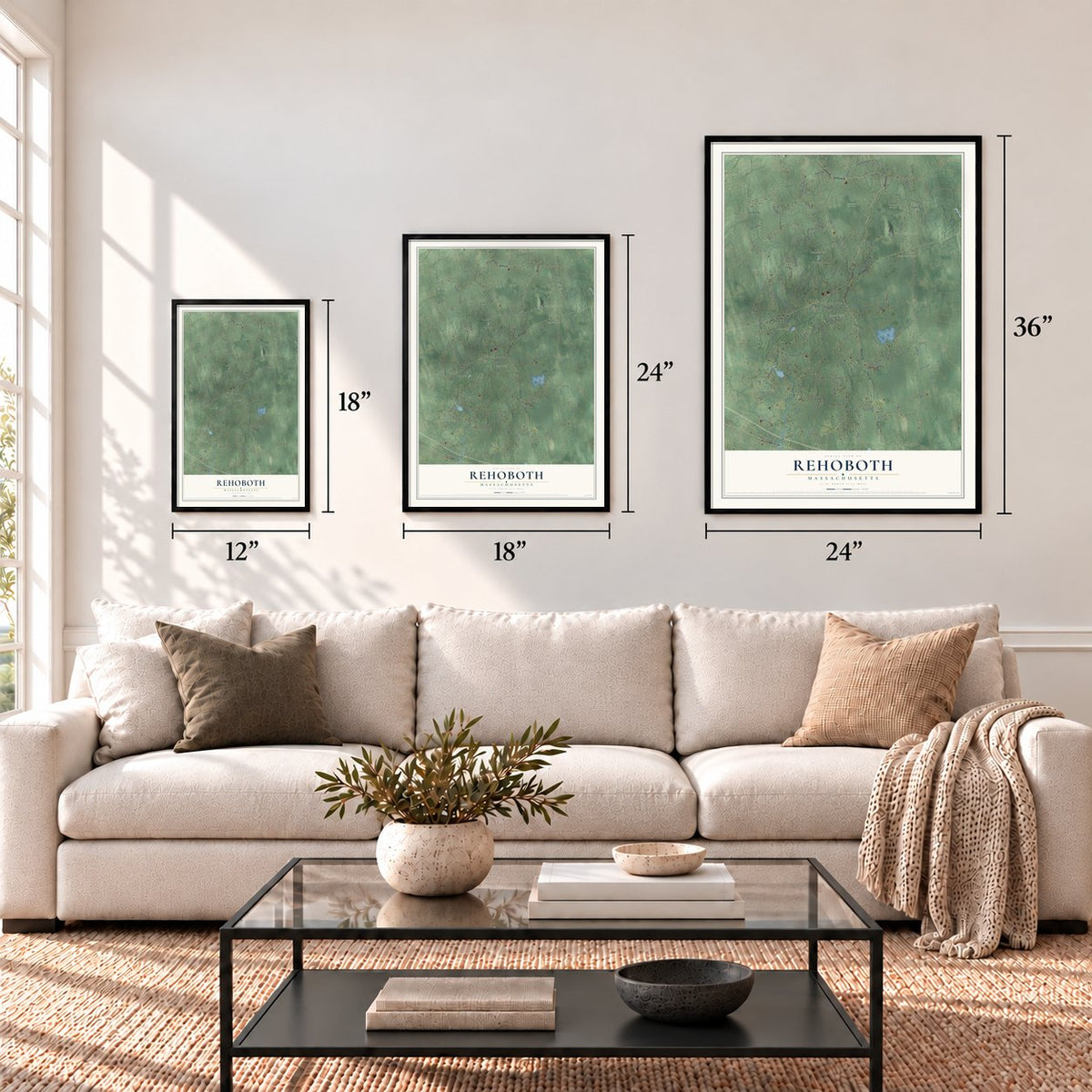
Three ways to hang it
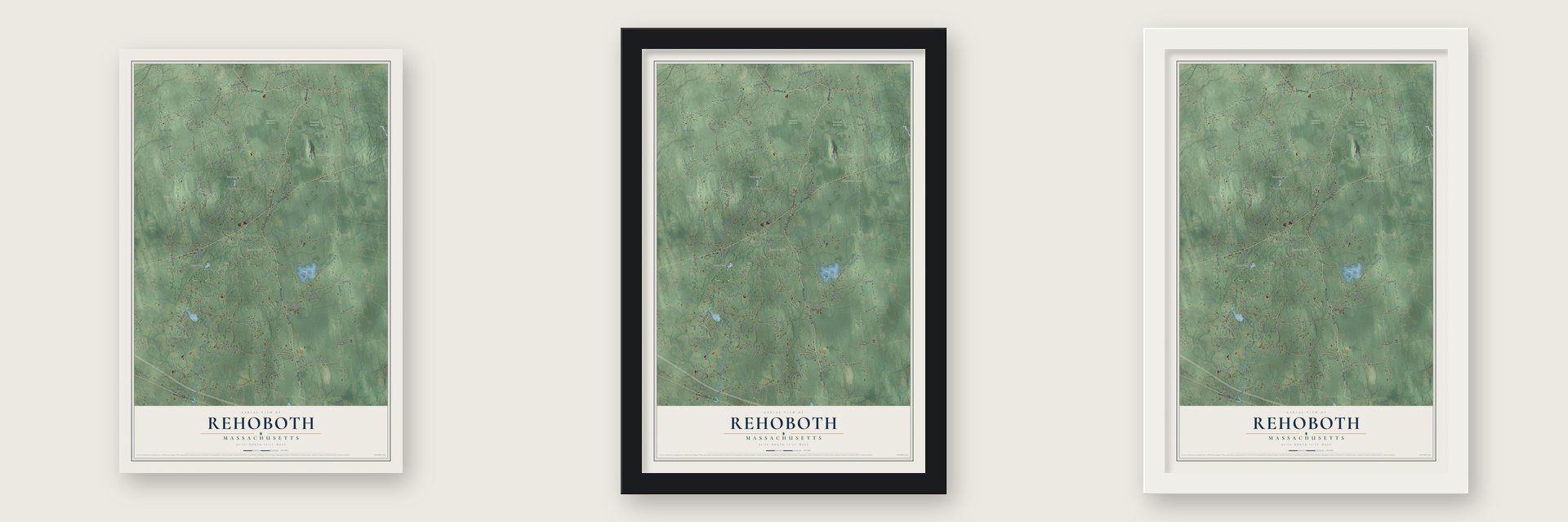
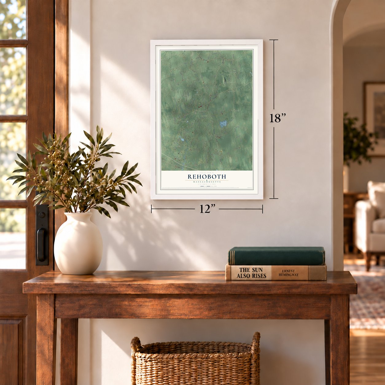
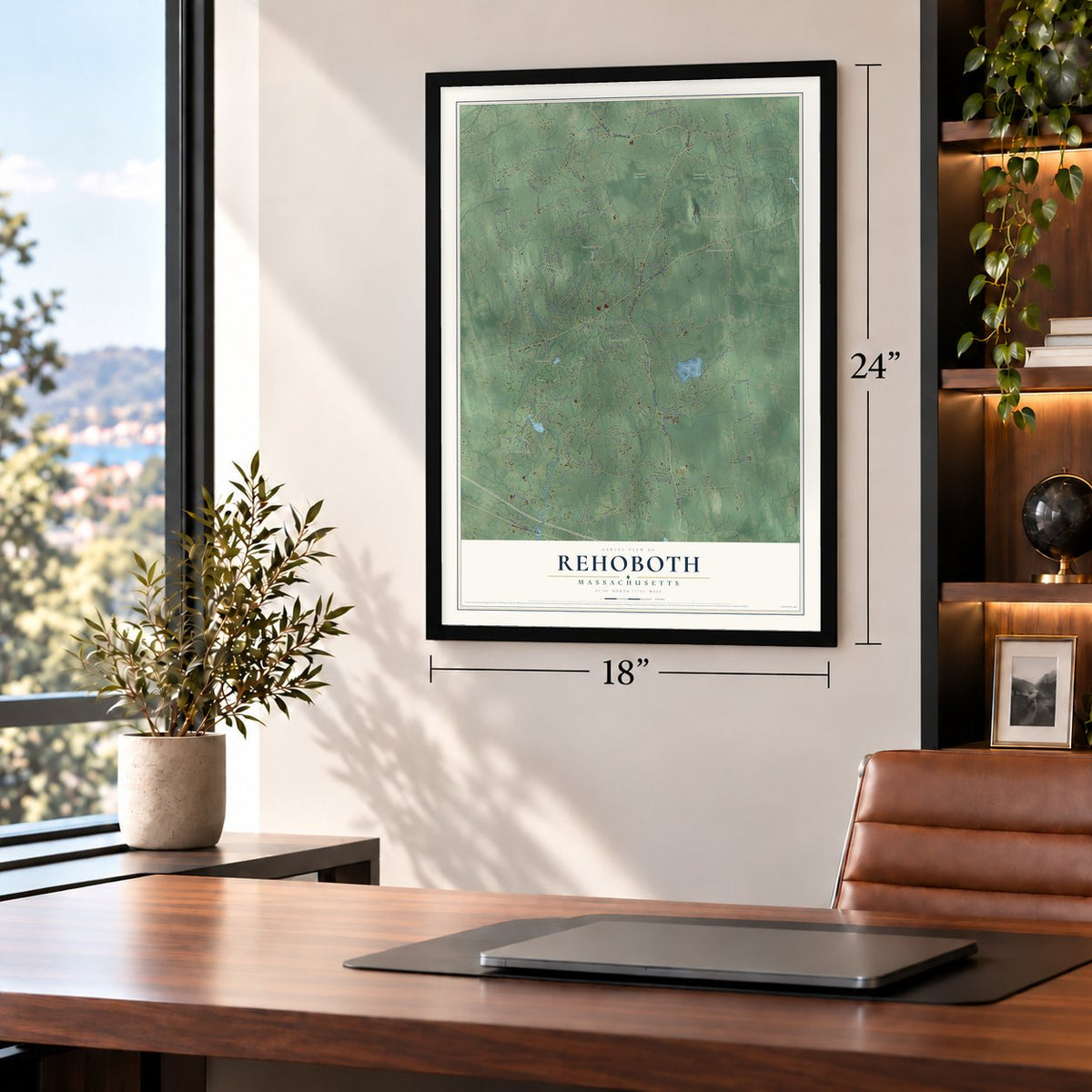
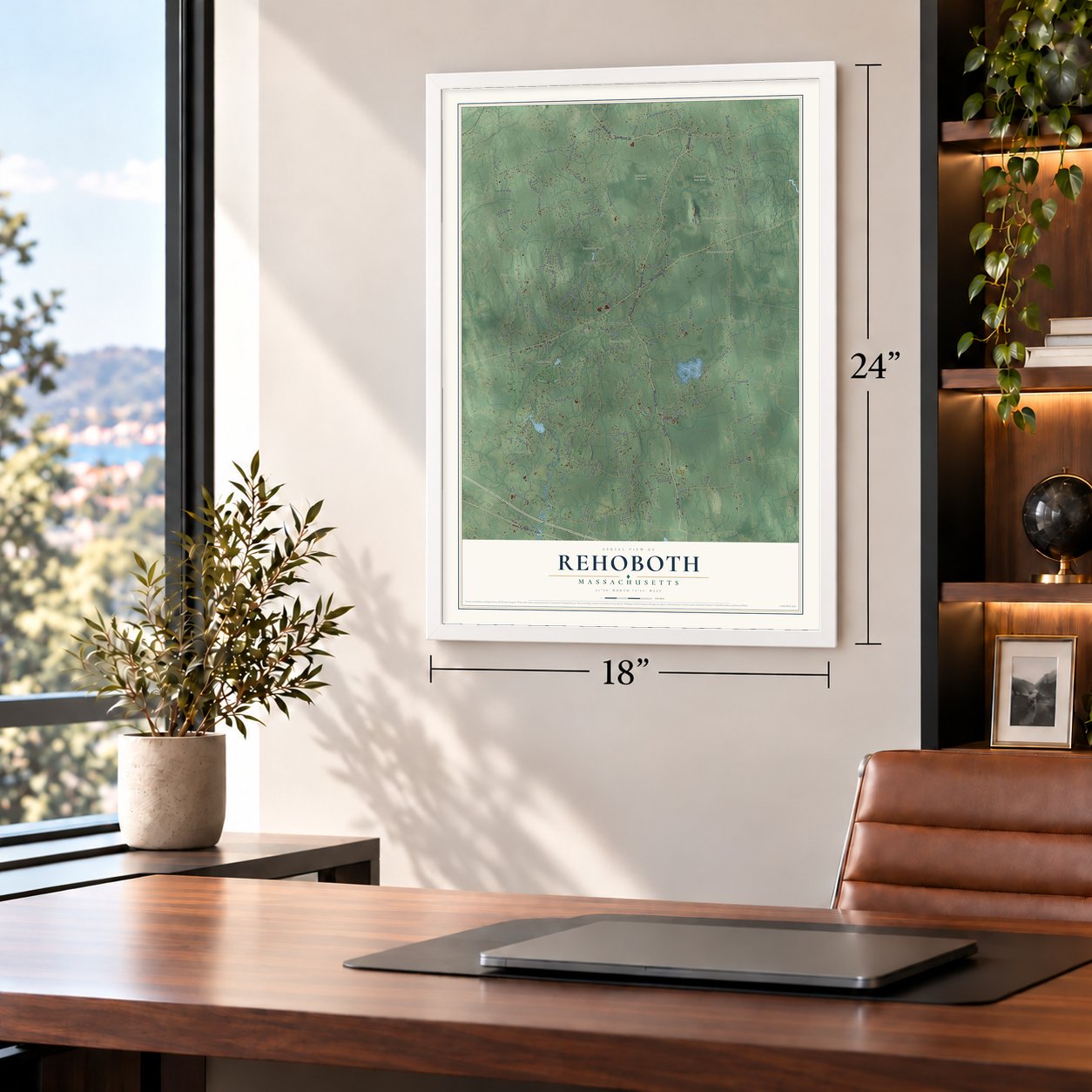
Unframed archival matte, a black wood frame or a white wood frame.
Up close
Geography Worth Displaying
This map was created using accurate cartographic data and authoritative geographic sources, including the U.S. Geological Survey (USGS) and FEMA. The map brings together terrain, waterways, roads, and building detail. The majority of the streets are labeled, houses are accurately depicted, and the topography is derived from government sources. Combining local data with carefully composed color and shading leads to this beautifully detailed Rehoboth artwork for your wall.
Rather than simply showing street outlines, we’ve included as many of the street names as we could reasonably fit on the map while keeping their names legible. Zoom in on the high resolution preview to see exactly what’s on the map. We truly set out to create a statement piece for anyone who loves Rehoboth. So whether it’s for you, or a gift for someone you love, we hope this map of Rehoboth brings back fond memories.
Explore the full map of Rehoboth, Massachusetts and read about the local places it shows.
Find your street
Names on the Rehoboth map
Every name below is printed on this map. Look for your street, your school, the park where you played, or the pond down the road.
Places and landmarks13
- Downtown
- North Rehoboth
- South Rehoboth
- Annawan Rock
- Fowlers Hill
- Great Meadow Hill
- Great Rock
- Perryville Pond
- Sabin Pond
- Rehoboth Town Forest
- Rehoboth State Forest
- Perrys Corner
Show all 13 places
- Perryville
Streets and roads133
- Anawan Street
- Moulton Street
- Tremont Street
- Bay State Road
- Plain Street
- Park Street
- Winthrop Street
- Fall River Avenue
- Brook Street
- Peckham Street
- Summer Street
- Fairview Avenue
- Providence Street
- County Street
- Rocky Hill Road
- Homestead Avenue
- Pine Street
- Chestnut Street
- Hornbine Road
- Perryville Road
- Pleasant Street
- Agricultural Avenue
- Wheeler Street
- New Street
- Cedar Street
- Reservoir Avenue
- Reservoir Street
- Barney Avenue
- Mason Street
- School Street
Show all 133 streets
- Danforth Street
- Cameron Way
- Reynolds Avenue
- Davis Street
- Peck Street
- Martin Street
- Hillside Avenue
- Simmons Street
- Broad Street
- Carpenter Street
- Purchase Street
- Spring Street
- Ash Street
- Pond Street
- Kelton Street
- Winter Street
- Salisbury Street
- Water Street
- Reed Street
- Francis Street
- Gorham Street
- Fairfield Street
- Wood Street
- Linden Lane
- Blanding Road
- Lake Street
- River Street
- Bliss Street
- King Phillip Drive
- Allens Lane
- Elm Street
- Tiger Lily Trail
- Colonial Way
- Baker Street
- Maple Lane
- Smith Street
- Hickory Ridge Road
- Terrybrook Road
- Medalist Drive
- French Street
- Cross Street
- Williams Street
- Starr Lane
- Steber Way
- Slater Street
- Nichols Street
- Dean Street
- Walnut Street
- Tori Leigh Lane
- Holmes Street
- Hunt Drive
- Two Rod Way
- Sweeney Road
- Calisto Drive
- Almeida Road
- Pierce Lane
- First Street
- Katie Drive
- Mikayla Ann Drive
- Wilmarth Bridge Road
- Locust Avenue
- Adams Circle
- Farm Road
- Francis Farm Road
- Stagecoach Road
- Miller Street
- Firetower Road
- Victoria Lane
- Allen Avenue
- Meadowlark Drive
- Samantha Lane
- Skyla Way
- Pine Grove Road
- Willard Avenue
- Key West Boulevard
- Heritage Road
- Lorimar Lane
- Lorson Lane
- Juniper Lane
- Ralsie Road
- Natick Lane
- Talbot Drive
- Glebe Street
- Fall Street
- Wheaton Avenue
- Ashlynn Way
- Pond Lily Avenue
- Harvest Road
- Bayberry Street
- Holly Lane
- Chris Drive
- Columbine Road
- Old Bliss Street
- Birchwood Drive
- Clouds Way
- Apple Valley Drive
- Roberts Road
- Esbjurn Drive
- Liberty Lane
- Johnnie's Way
- Regional Road
- Kingsley Way
- Nicole Way
Names are listed as they appear on the printed map. Zoom into the product photos to find them.
About Rehoboth, Massachusetts
Rehoboth is a town of 12,502 people in Bristol County, where most brooks and swamps drain into the Palmer River. Samuel Newman, Walter Palmer and William Sabin founded the settlement in 1643, and it became a town in 1645. Newman, a clergyman, took the name from Genesis, a Hebrew word for broad places, because the settlers had found room here. Old Rehoboth was far larger than today's town, taking in all of Seekonk and East Providence and pieces of ten other towns and cities.
The town suffered badly in King Philip's War. Philip's warriors struck the unguarded settlement on June 30, 1675, and on March 28, 1676, Canonchet led the Narragansetts back, and they burned 42 houses and 21 barns along with corn mills and a sawmill. That August 28, Captain Benjamin Church cornered the Wampanoag sachem Anawan at a puddingstone ledge above Squannakonk Swamp. Anawan's capture closed the war's campaigns in southeastern Massachusetts, and Anawan Rock still marks the spot near Route 44.
“They have great luck in clam-bakes up at Rehoboth”
- The reservoir called Bad LuckNelson and Darius Goff and Benjamin Peck dammed Bad Luck Brook in 1837 and 1838 so their mill wheels would keep turning. Before dawn on June 24, 1859, the dam gave way. The pond poured down the valley, uprooting trees, sweeping away four bridges and eating under the Village mill.
- A lodge and a new damRhode Island sportsmen put up a cedar log lodge on the shore in 1898. In 1913 the Bristol and Warren water works built the dam again at a cost of about $30,000, and the pond is now the Warren Upper Reservoir.
- Goff Memorial HallOn January 2, 1884, the Rev. George H. Tilton spotted an old loom in George N. Goff's home and decided the town needed an Antiquarian Society. Darius Goff put up $4,000 to match the town's money and donated an acre where the Goff Inn, his birthplace, had stood. Goff Memorial Hall opened on May 10, 1886, his 77th birthday.
- The first clambakeThe Antiquarian Society held its first clambake on August 24, 1886, a few months after the hall opened.
- Hornbine's preachersHornbine, in the town's southeast corner, is named for its hornbeam trees. About thirty Six-Principle Baptists formed a church there in 1753, and no Baptist meeting house in southeastern Massachusetts is older than their plain Hornbine Baptist Church. Elder Thomas Seamans, a farmer, preached there past 100 and died in 1826 at 104.
Keep exploring Massachusetts
Rehoboth is one of 470 Massachusetts towns we've mapped. Every dot on the map is a print of its own.
The search covers every state, Massachusetts first.
Near Rehoboth
Order 2 or more town maps and save 10%. Shown in the size and finish you picked above, so they hang as a set.
- Seekonk 12" x 18" / Archival Matte Print $39.99
- Dighton 12" x 18" / Archival Matte Print $39.99
- Swansea 12" x 18" / Archival Matte Print $39.99


More maps nearby: Attleboro, Ocean Grove, Somerset, Berkley and Taunton.
The art of mapping a place
How This Map Was Made
Real places. Remarkable detail. Discover the layers that turn geographic data into a map of home.

The view from above
Aerial imagery reveals the character of the land: woodland, open fields, and the patterns of a place.

The shape of the land
Elevation data brings hills, valleys, and subtle changes in the landscape into view.

The details of home
Roads, waterways, and building footprints come together to make the map feel unmistakably local.

Geography becomes art
Considered color, shading, and typography bring the layers together in a map made for your wall.


Process illustrated with Mendon, Massachusetts. Aerial imagery: USDA NAIP. Terrain: USGS 3D Elevation Program. Map details and finished artwork: KNOWOL.
The Details
About This Print
Choose an archival matte print, or a black or white Ayous wood frame. The archival matte print is unframed.
Select your size and finish above to see the matching product image and price.
Materials & Craftsmanship
A contemporary map with the character of a classic atlas, printed on archival matte paper. Optional frames are made from Ayous wood.
Your printed map does not include the watermark shown in the full-map preview.
Shipping & Delivery
Free shipping within the United States. Every print is made to order in the USA.
Buying a gift? Add a note in your cart and we'll include it. We never put prices in the package.
Prints ship within 2 to 3 business days. Allow 7 to 10 days total from ordering for delivery. Timing may vary during holidays or periods of high order volume.
Read our shipping policy.
Returns and damaged prints
Each print is made to order. Change-of-mind refunds are not available after production.
If your print arrives damaged, misprinted or incorrect, contact support@knowol.com within 30 days of receiving it. Include your order number, photos and a description of the issue.
Read our full refund and replacement policy. For questions about your order, email support@knowol.com.